![]()

Remember: Press F11 for a full
screen view of this page.
|
|
|
Remember: Press F11 for a full
screen view of this page. |
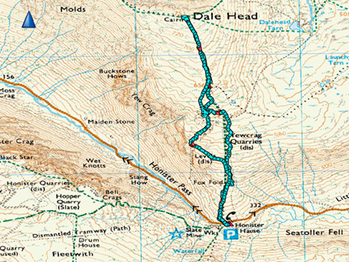
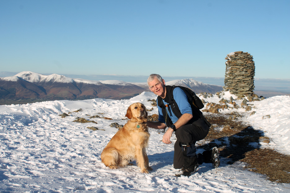
| " Dale Head in the Snow " Date & start time: Monday 7th March 2016, 3.15 pm start. Location of Start : Honister Hause NT Car park, Cumbria, Uk ( NY 226 153 ) Places visited : Honister, Dale Head and back down via the Yew Crag Mines. Walk details : 2.75 mls, 1375 feet of ascent, 1 hour 45 mins. Highest point : Dale Head, 2473 -753m. Walked with : Myself and our dog Dylan. Weather : Winter sunshine and blue skies all the way. |
© Crown copyright. All rights reserved. Licence number PU 100034184. |
|
It was a great afternoon and the views were superb. I took the chance of giving Dylan a run out on a more strenuous walk and myself the chance to get up into the snow to enjoy the panorama from the top of Dale Head.
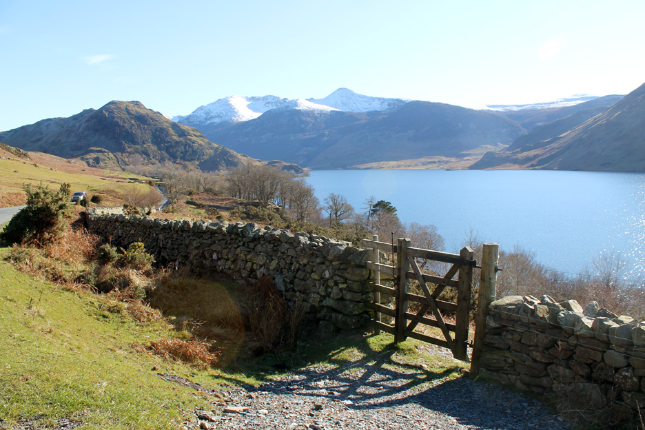
Coming 'over the top' as I drove from Lanthwaite Green, down towards Buttermere. There's a bold line of snow across the fells and a big yellow sun in the sky.
I think I was here last week !
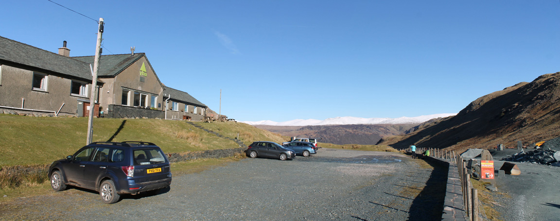
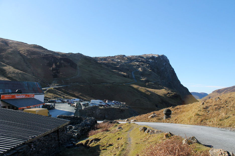
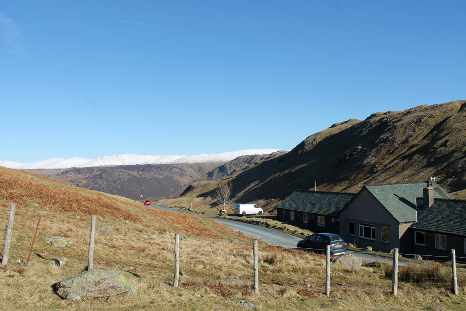
Parking at a quiet National Trust car park at Honister Hause. Even though it is a Monday afternoon it is still pretty quiet . . . come over folks, the weather's great !
Honister Crags . . . technically the secondary summit of Black Star. The mine road can be seen climbing up to the crags but the white curves on the face are parts of the old Victorian mine tramway system.
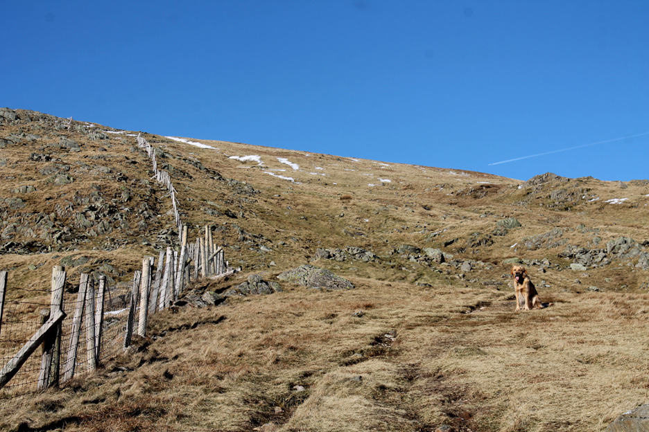
Starting the climb . . . with a backdrop of a snowy-white Helvellyn ridgeway.
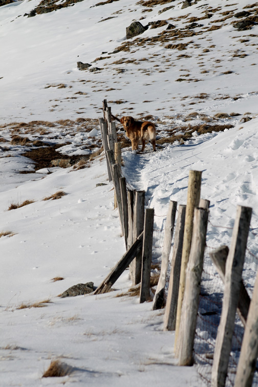
Full of beans . . . Dylan waits for the old man.
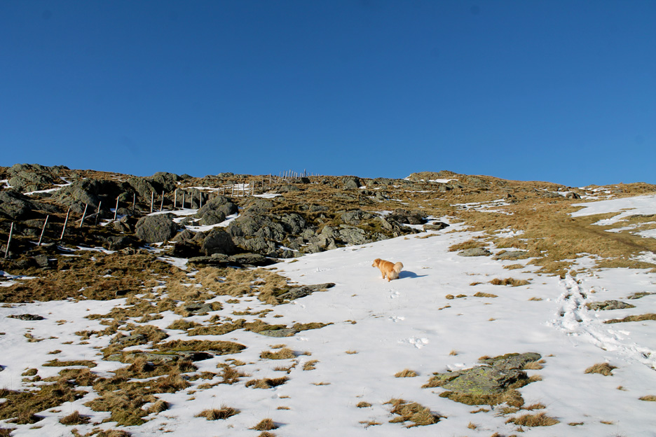
Climbing up through the start of the snow.
On the other side of the fence line are signs of the Yew Crag quarry.
A closer investigation reveals some of the deep open quarries.
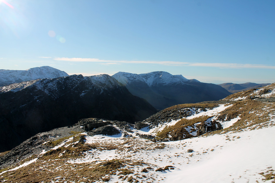
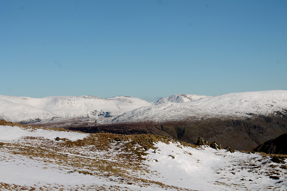
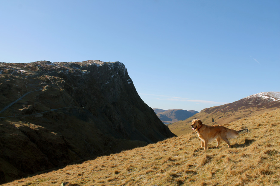
On a slightly more level section the view really opens out to reveal all of the fells to the south.
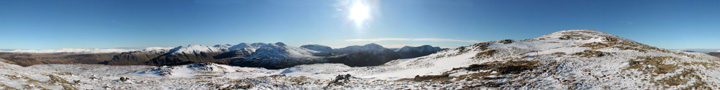
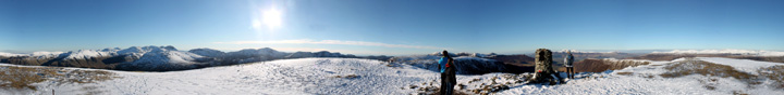
Worth a non-summit wrap around if you care to look. Click here or on the photo above for a Loweswatercam 360 degree annotated panorama.
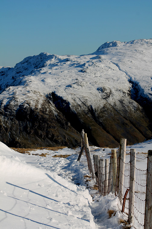
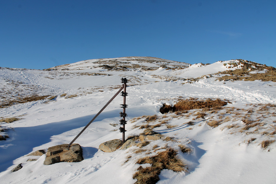
The line of the fence continues towards the summit . . . but only the wrought iron posts remain.
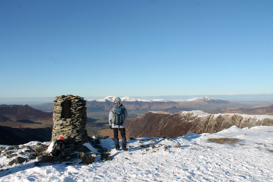
Topping out on Dale Head . . . others have had the same idea on this glorious afternoon. The tee-shirt belongs to a couple on holiday from Germany . . . it is presumably airing, even drying in the afternoon sunshine. It was a spare . . . and packed away before they left.
Click here or on the photo above for a Loweswatercam 360 degree annotated panorama.
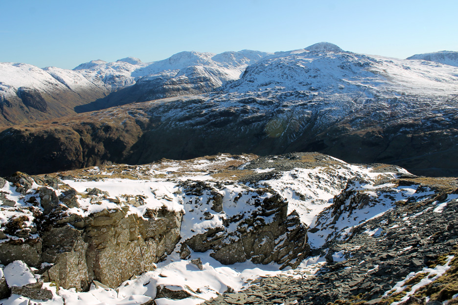
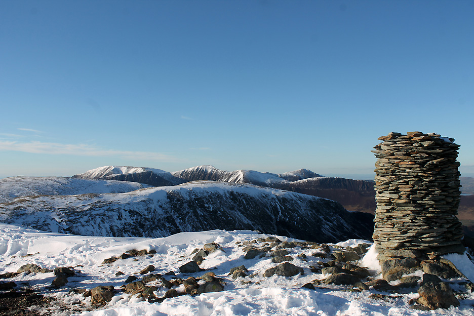
Clear views of the North West Fells. The high points are Grasmoor, Eel Crag, Sail and Grisedale Pike.
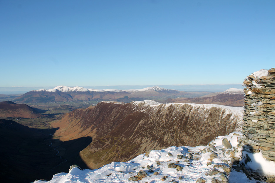
Ahead is the Newlands Valley, starting to shade over with afternoon shadow. Beyond is Skiddaw and Blencathra . . . the white topped ridge down being High Spy, Maiden Moor and Catbells.
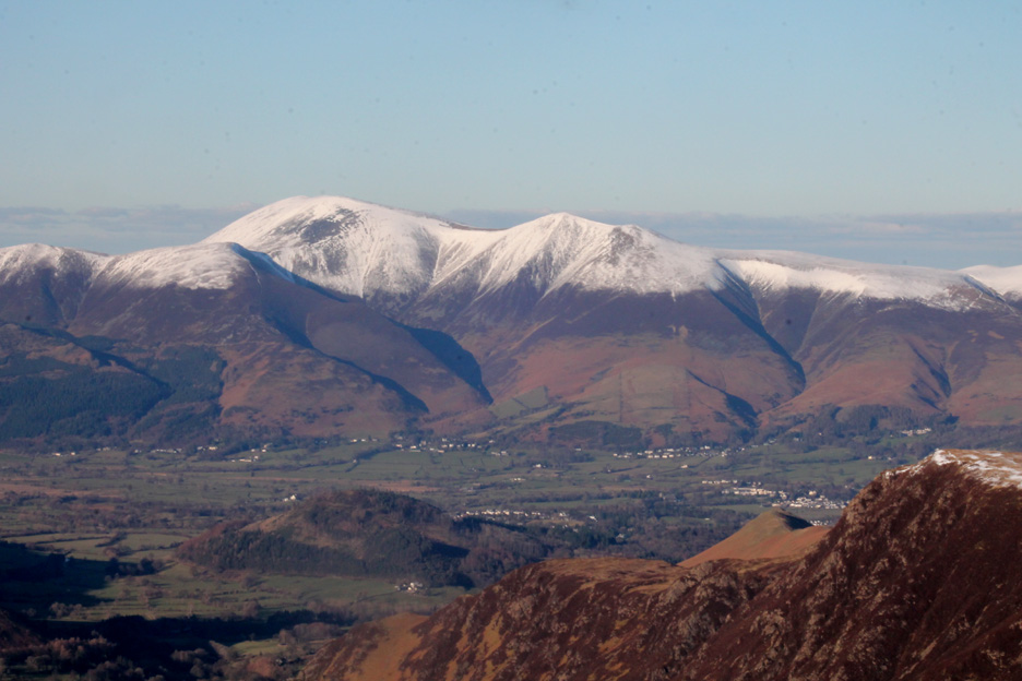
A close up of the northern 3000 footer, Skiddaw, and the houses of Keswick and Applethwaite . . . the tree covered hill is Swinside. The mighty Catbells, so prominent from Keswick, seems like a diminutive grass covered knoll from up here.
Helvellyn is the second 3000 footer and this is the third and highest, Scafell Pike at 3210ft or 978 metres if you prefer. The optical illusion of the central fells kicks in again as Great Gable appears highest, due to being closer. Scafell with the north facing crags even seems bigger than Scafell Pike to the right of centre.
Before they go I take a picture of the German couple on the summit and they reciprocate with one of us. Hold your cursor over the picture . . . to see how well Dylan copes with being photographed by someone else.
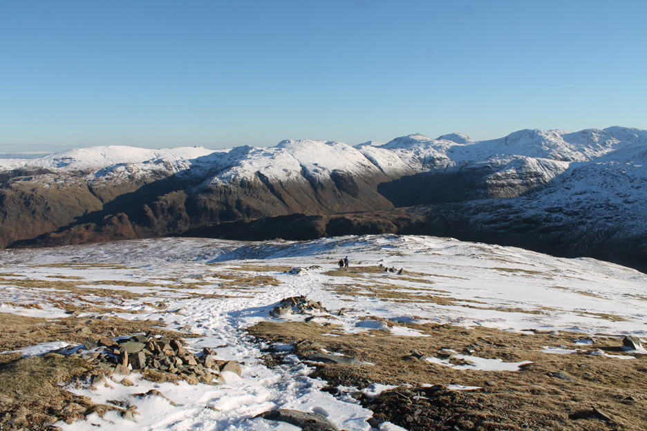
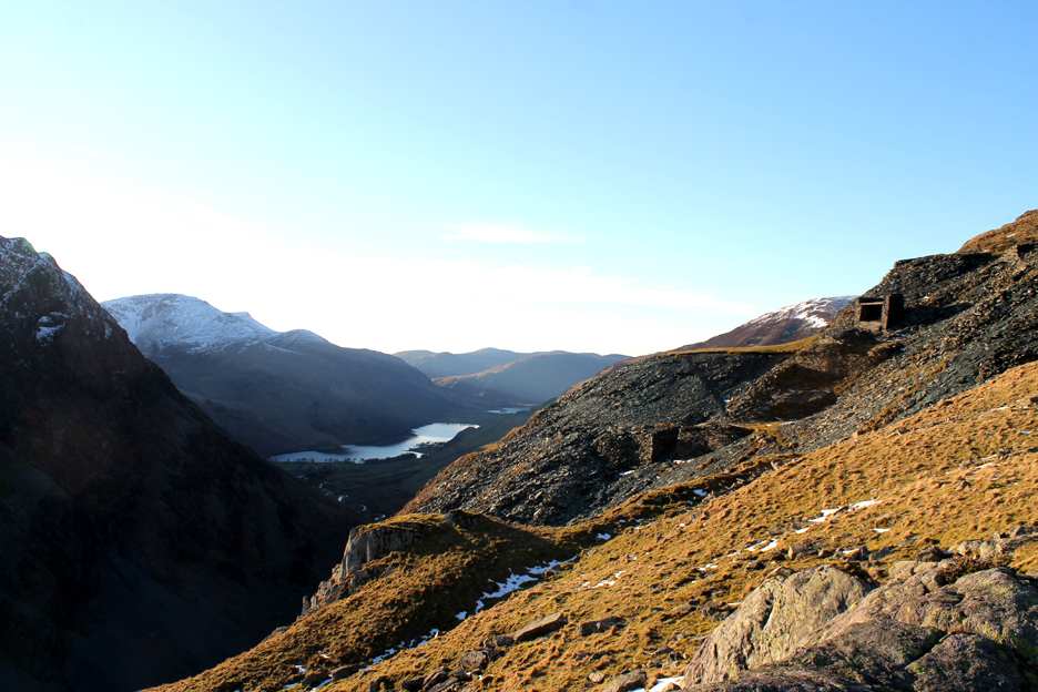
On the way down now, heading back to Honister down there in the "dark valley".
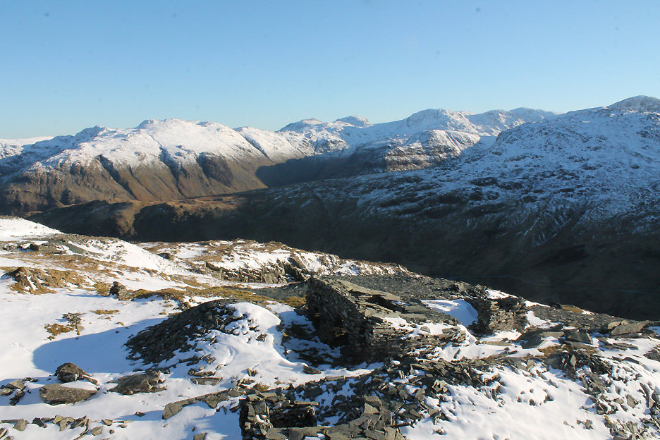
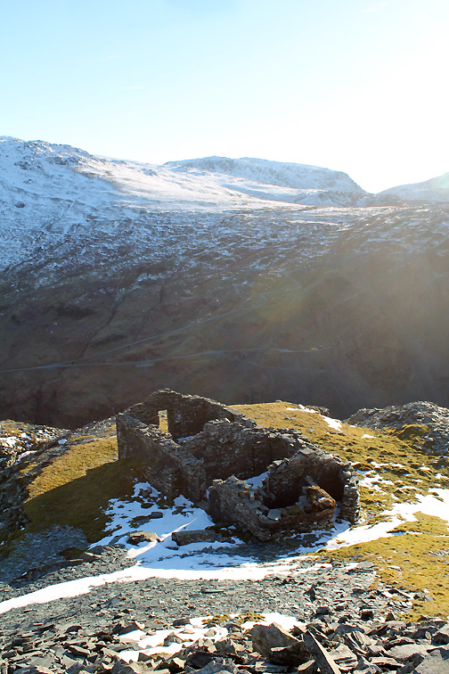
I drift off to the right to check out the old quarry workings and the many old huts and buildings alongside them.
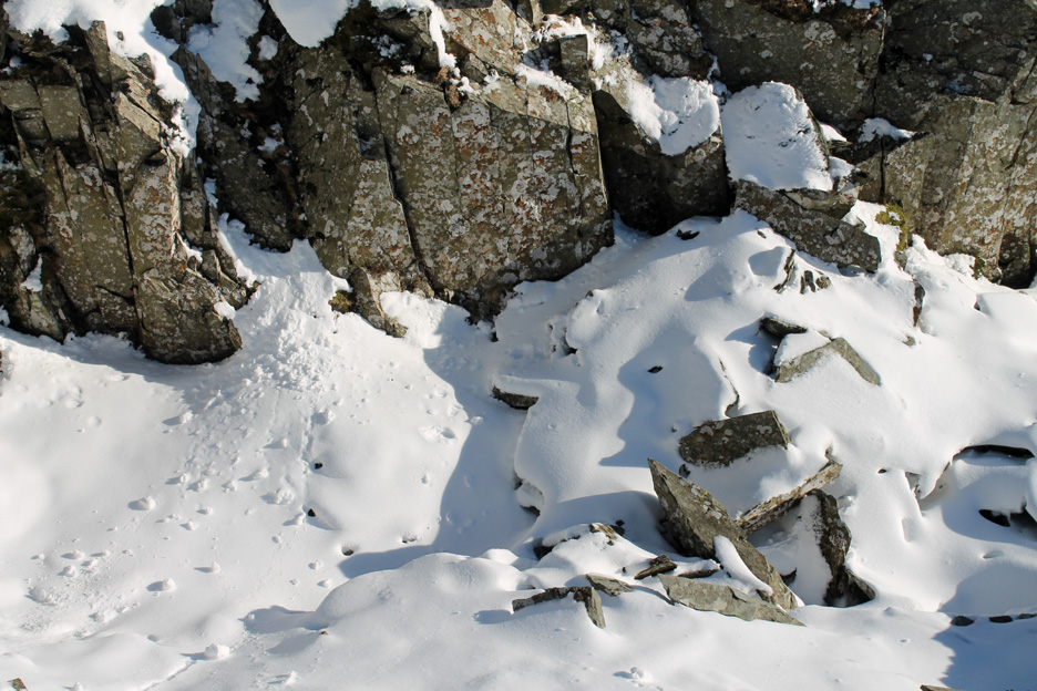
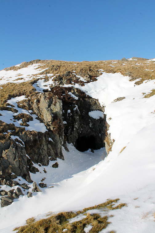
Pristine snow . . . no-one has stepped on it and I imagine no-one ever will as it will be gone soon if this weather holds.
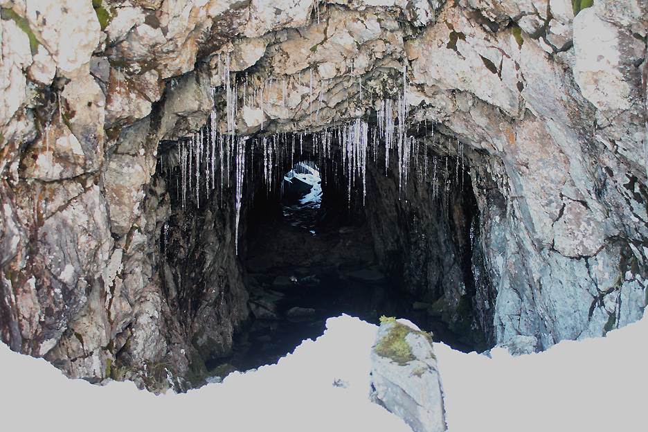
Peering in from the snow drift outside . . . yes that is the light at the end of the tunnel !
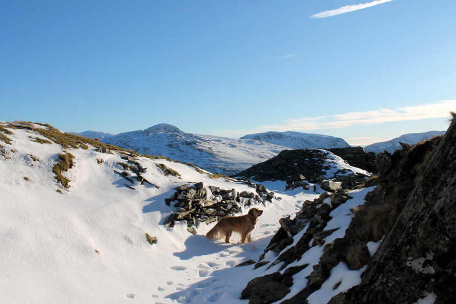
Dylan on the tram road, looking out from the same spot.
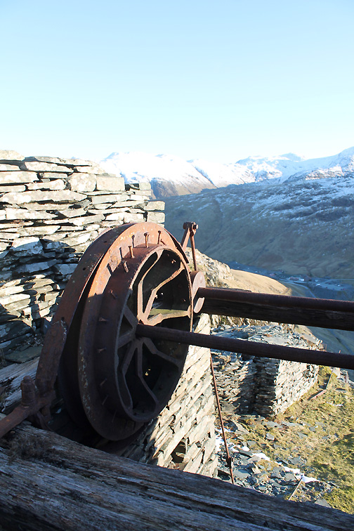
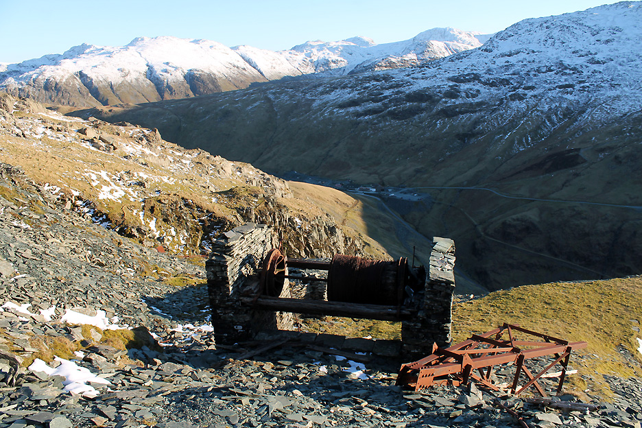
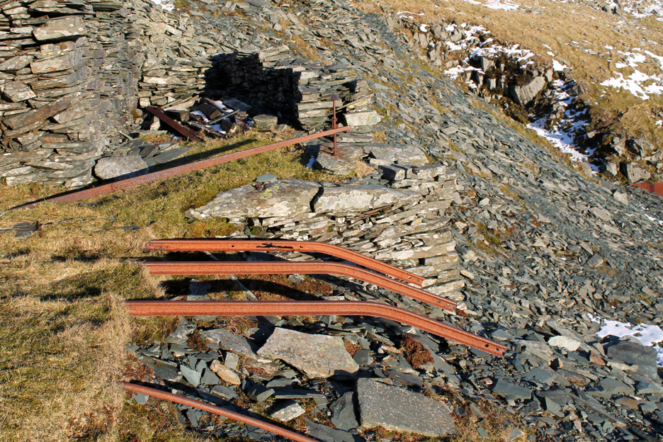
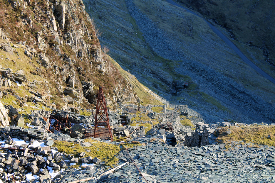
Standing back . . . this is the drum at the top of the Yew Crag cable railway. Two rail platforms were raised and lowered on the track below, the cable connecting them ran over the drum and brake system. The heavier truck when carrying slate pulled up the lighter one on its return journey.
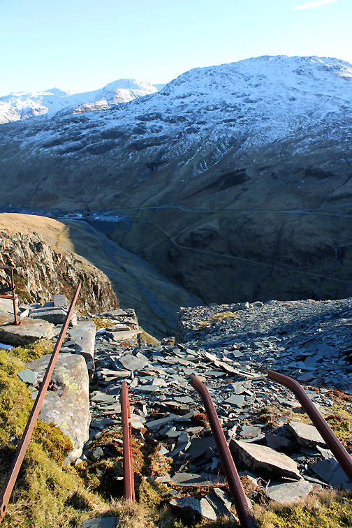
The bent rails showed the steep angle of the funicular. The long iron handle was the brake lever which could be worked from the side platform.
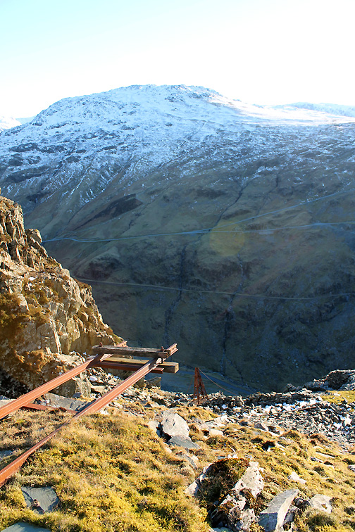
The track continues down at a steep angle, a pylon to one side would have carried another cable of some sort. The angle and the loose slate makes descent difficult to I branch off at this point and make my way back over to the main path.
Looking back at the drum house in the sunshine . . . and beyond to Buttermere and Crummock in the shadows of the valley.
Back down to the roadway below . . . the end of a lovely walk is in sight for myself and Dylan. - - - o o o - - - |
Technical note: Pictures taken with my Canon 1100D Digital SLR. Resized in Photoshop, and built up on a Dreamweaver web builder. This site best viewed with . . . a pair of gaiters to be able to walk in the deeper snow ! Go to Top . . . © RmH . . . Email me here Previous walk - 5th March 2016 - Blake - Over the Top A previous time up here - 20th May 2010 Dale Head to Buttermere Next walk - 7th/8th March 2016 - Low fell and Rannerdale
|