![]()

Remember: Press F11 for a full
screen view of this page.
|
|
|
Remember: Press F11 for a full
screen view of this page. |
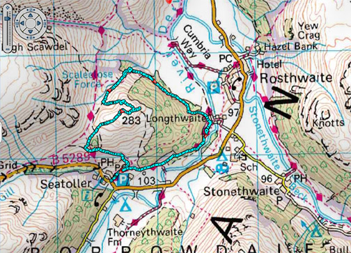
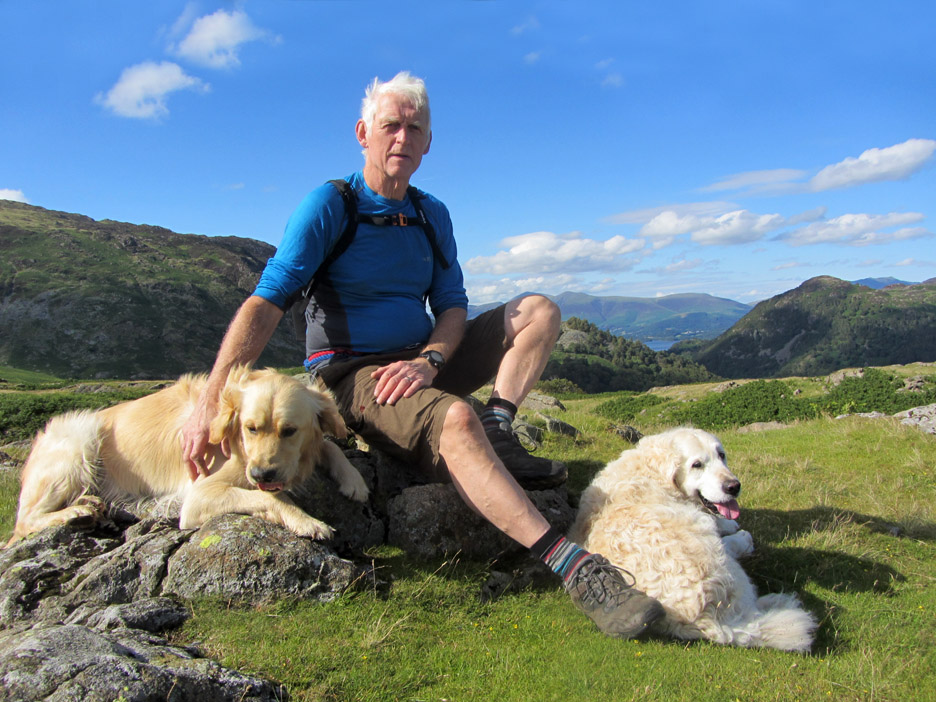
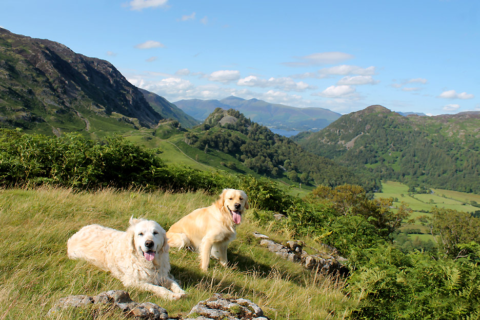
| " High Doat Calling " Date & start time: Saturday 1st August 2015, 4.15 pm start. Location of Start : The NT car park, Seatoller, Cumbria, Uk ( NY 246 138 ) Places visited : Seatoller, High Doat, Scaleclose Force, Longthwaite YHA and back. Walk details : 3.5 mls, 800 feet of ascent, 2 hour 45 mins. Highest point : High Doat summit, 919 ft - 283m Walked with : Ann and the dogs, Harry and Dylan. Weather : Sunshine and blue skies turning cloudy. |
© Crown copyright. All rights reserved. License number PU 100034184. |
|
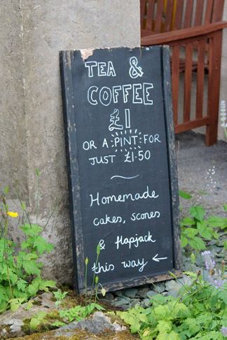
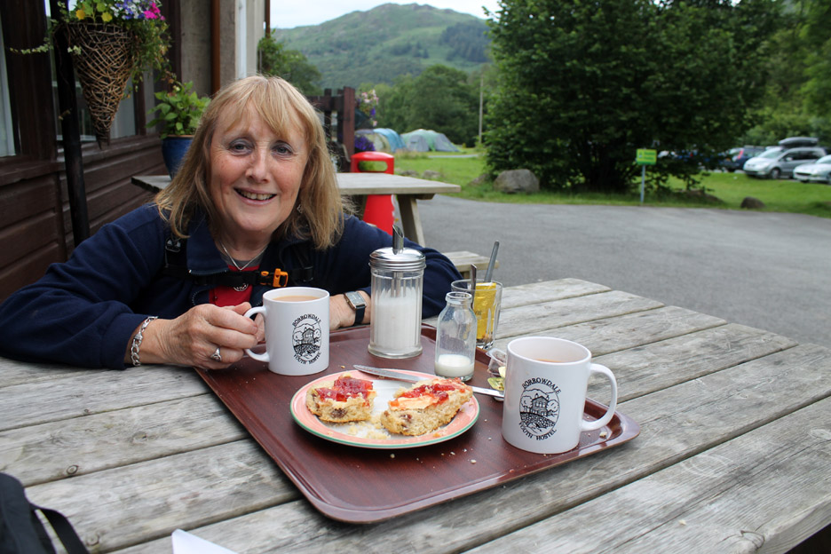
A shorter walk toward the end of the day but to a summit we haven't visited for some time. Back home along a path we've never been on before, a new route celebrated with a cup of tea and a scone purchased from Longthwaite Youth Hostel, as we passed along the way.
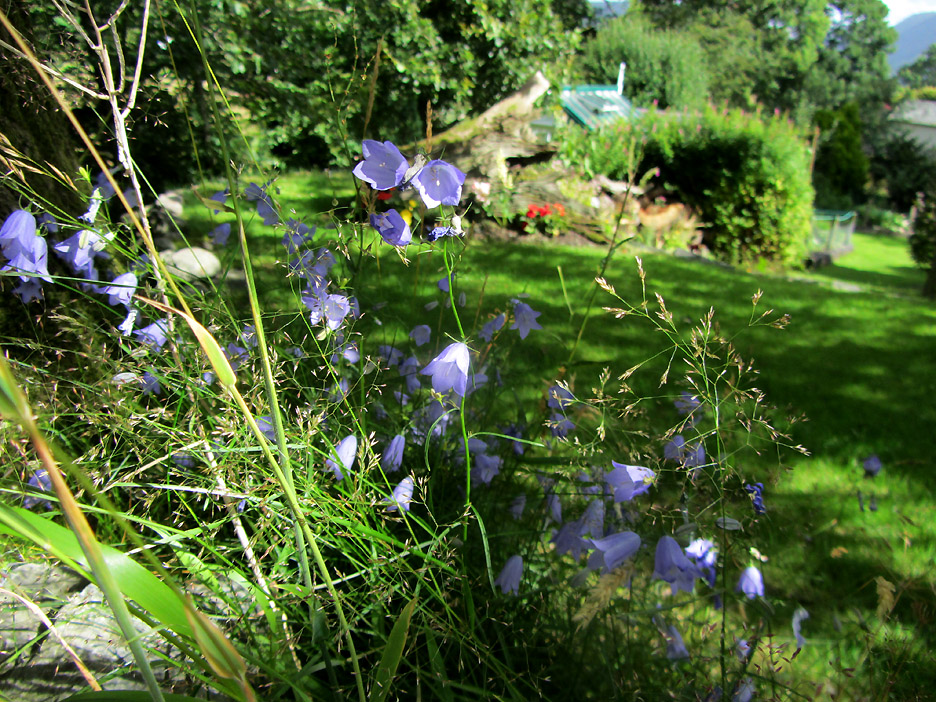
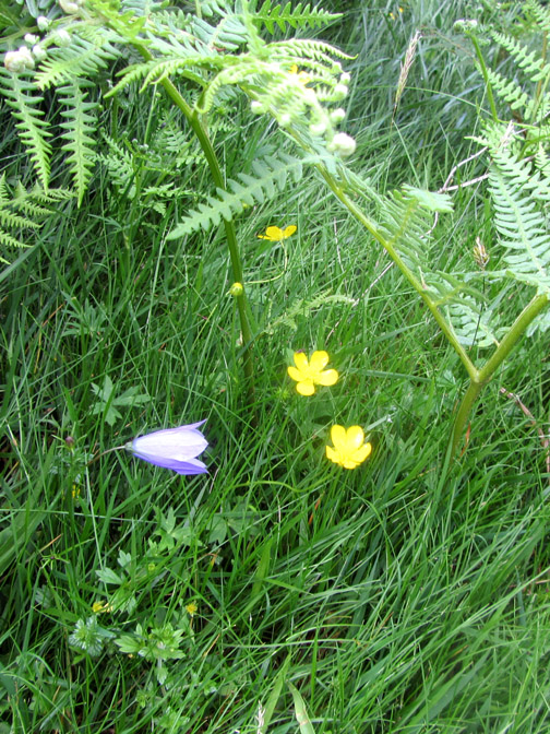
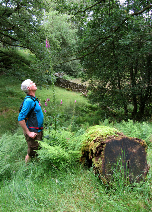
A busy summer day at home with all the usual household tasks and commitments to complete. Still, there should always be time enough to enjoy the harebells growing under the oak of Oak Cottage.
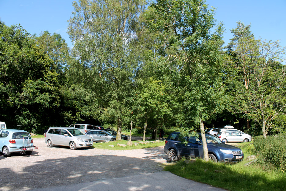
Once we were free, we drove over to Borrowdale via Honister and parked in the Seatoller National Trust car park, ready for a round walk to the summit of High Doat and back through Johnny Wood.
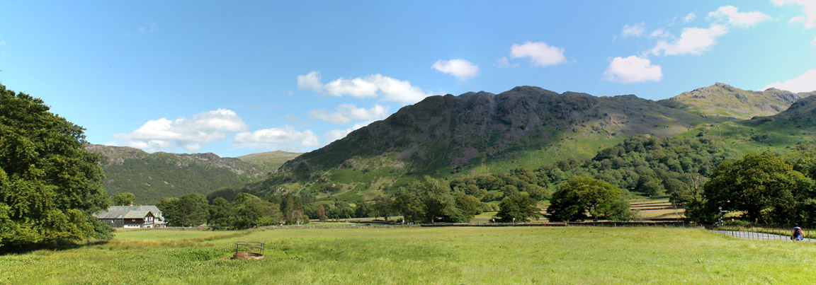
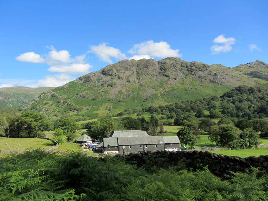
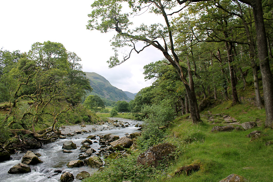
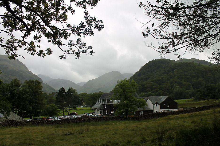
Seatoller sits at the head of the Borrowdale Valley, at the foot of the steep Honister Pass. Those who have followed this site recently may recognise the building on the left as the Glaramara Outdoor Pursuits Centre that we visited on the Fisher's Summer Outing recently.
The craggy outline of the Glaramara fells, part of which form a backdrop to the photo, were the inspiration for the name of the large house, once a Christian Holiday location, now an outdoor centre.
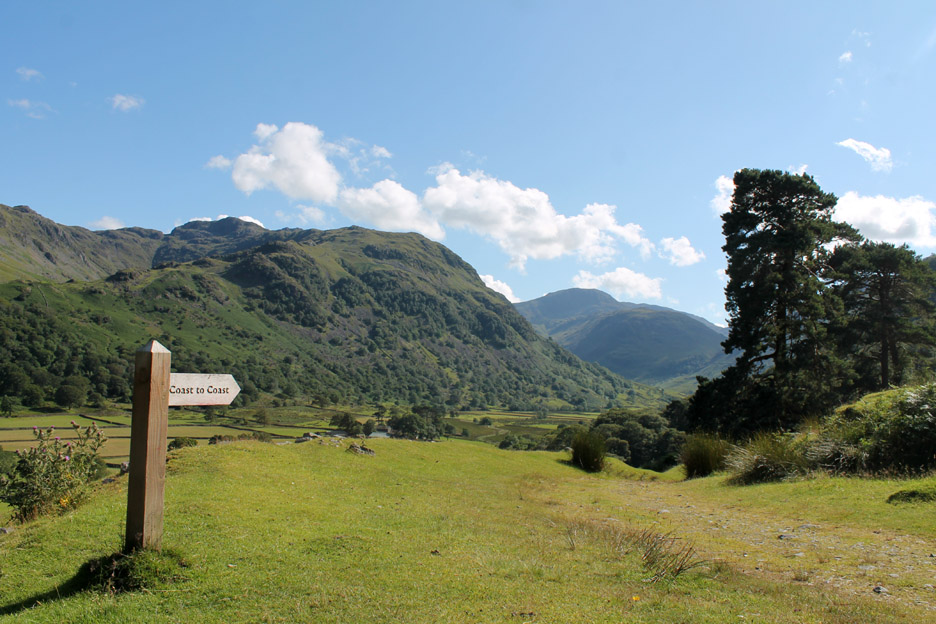
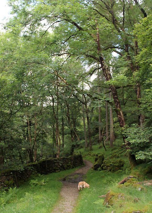
Rather than walk up the tarmac road at the start of the walk, we followed the old footpaths up towards the old Honister track that joins the mines to Grange in Borrowdale, via the back of Castle Crag. Now part of the Alledale Ramble this route also form a part of the Wainwright 'Coast to Coast' long distance footpath section from Ennerdale to Rosthwaite.
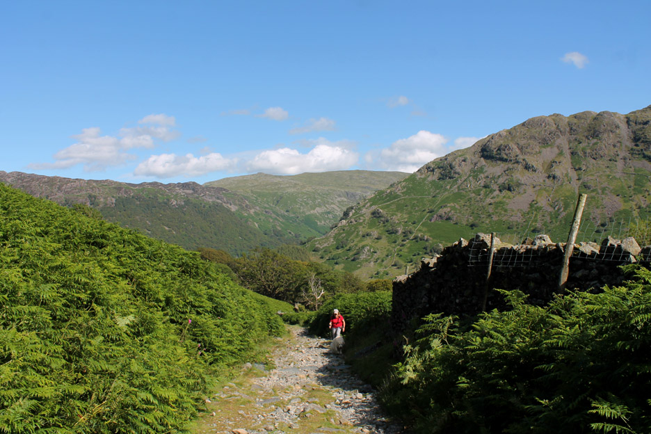
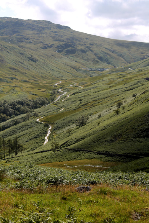
Zig-zagging up the steep valley side. The summer weather has encouraged strong growth of the bracken in Borrowdale as well as our valley.
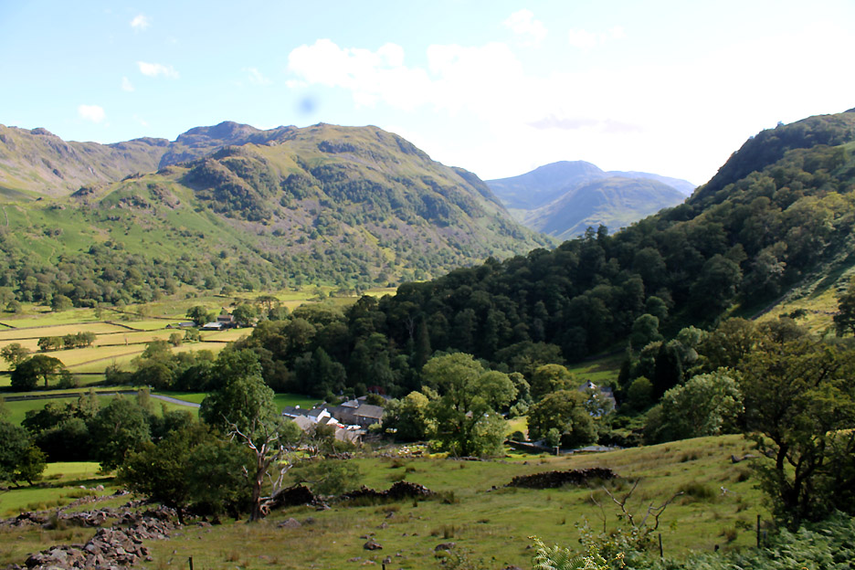
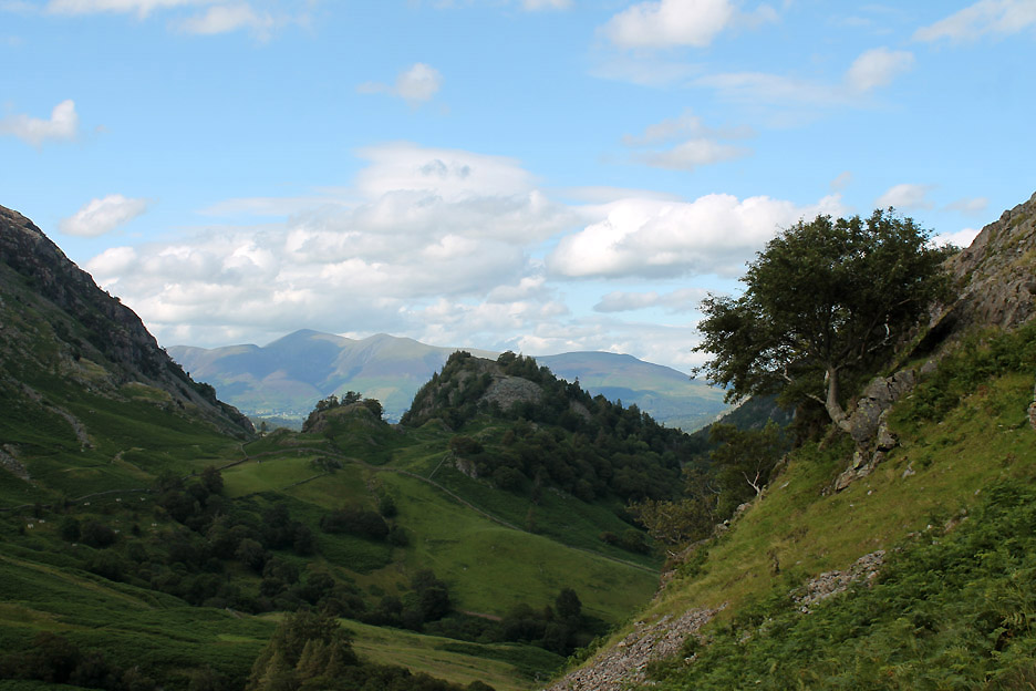
Looking down on Seatoller and up the valley towards Great End and Scafell Pike.
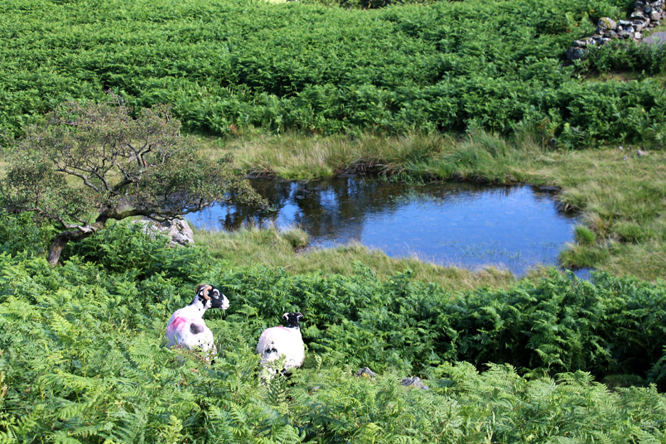
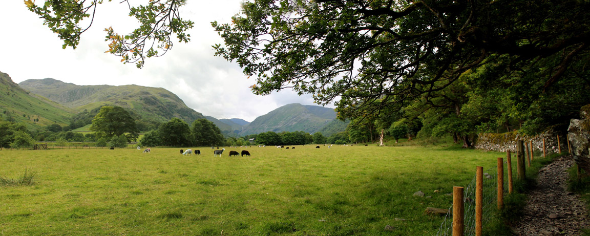
The undulating top of High Doat hides many small tarns and pools . . . the bracken up here almost hides these Swaledale sheep too.
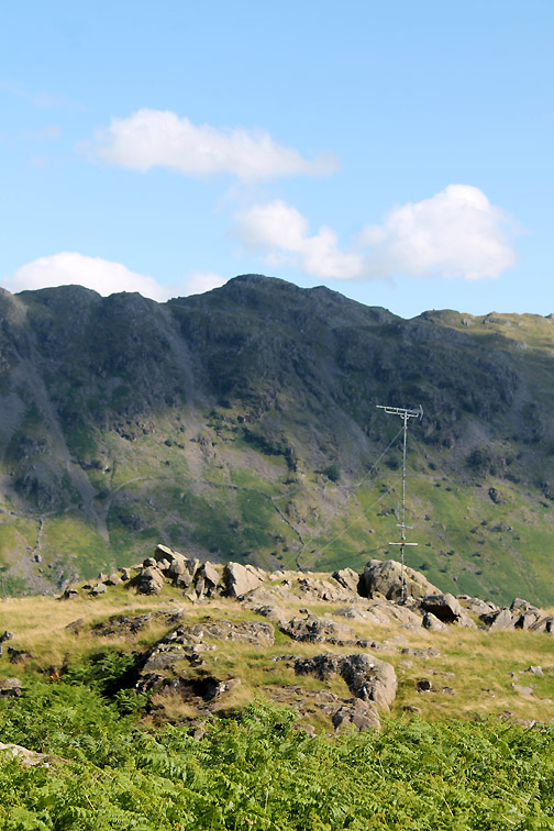
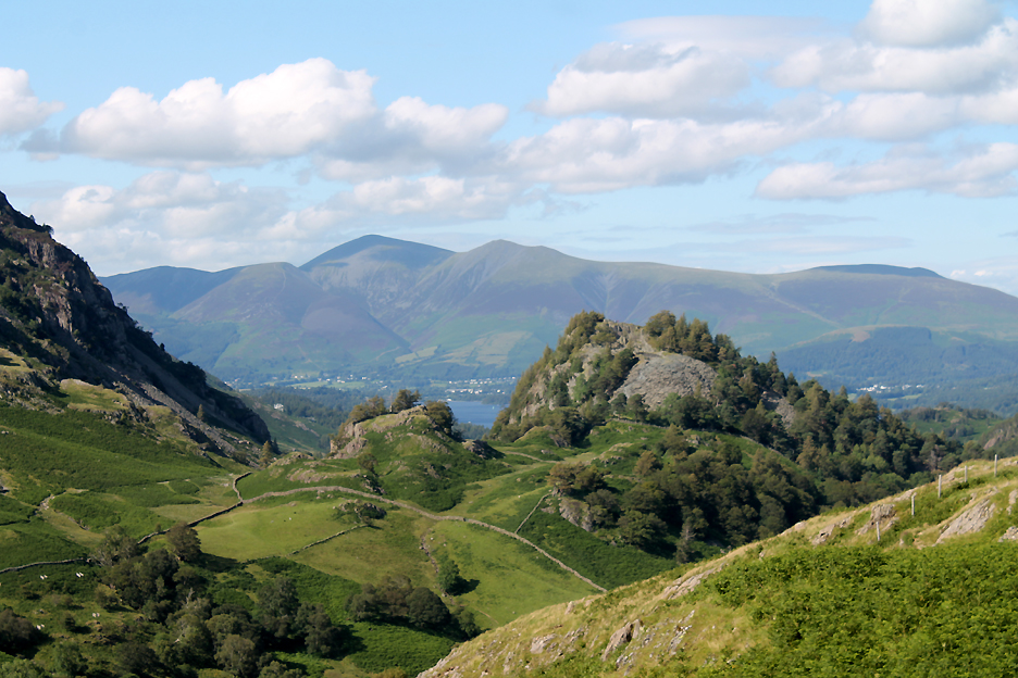
It is a superb summer day with lovely views . . . all the way across to Skiddaw from the summit of High Doat. Just like Castle Crag (seen here just a little further down Borrowdale) this intermediate fell offers great views of its neighbours close at hand.
It also offers a summit rock to act as a dry seat . . . no sign of the cairn marked on the map by the way.
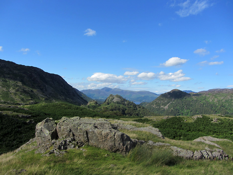
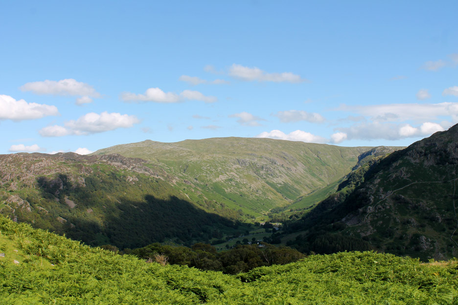
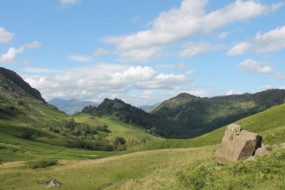
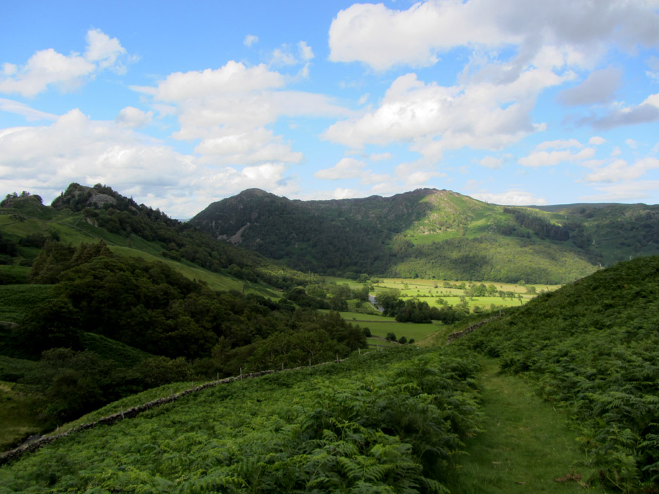
Looking around at Stonethwaite and the almost hidden Eagle Crag at the entrance to the Langstrath Valley. The flatter topped outline of Ullscarf takes the eye right, towards the northern end of Greenup Edge.
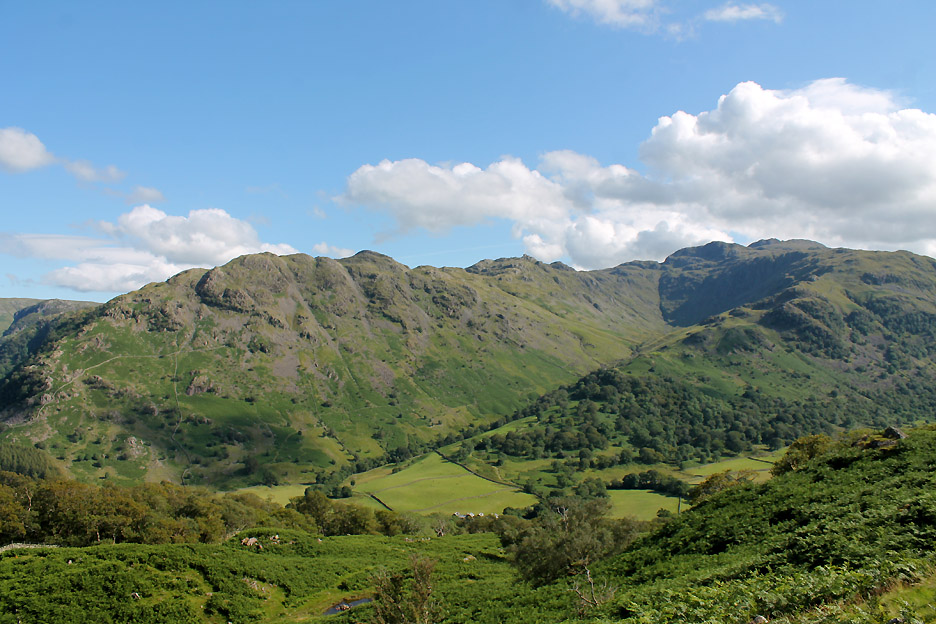
Bessyboot, Rosthwaite Cam and Glaramara with the valley of Combe Gill heading down towards us, that is north from Combe Door, the notch on the skyline.
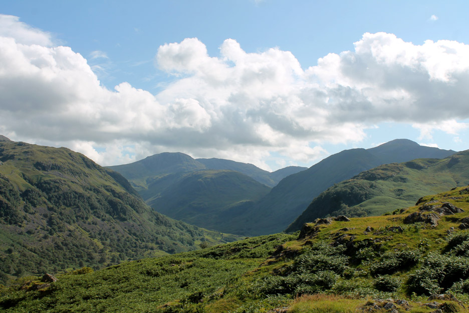
Further round . . . summer clouds build over the ultimate high fell round here . . . Scafell Pike.
Moving over the summit area I catch this alternative view of Castle Crags and King's How.
Even as we moved off from the summit, our eyes were constantly drawn to the beauty and ruggedness of Castle Crag. On this southern side of the fell is the extensive slate waste tip, the remnants from many years of slate quarrying. Should you visit, the stones there have a real musical sound as you walk over them.
Castle Crag and the tree. The high cloud is casting occasional shadows over the fells now.
The clouds move fast in the breeze and the colours on the ground constantly change. Hold your cursor over the picture to see the effect of the ripples of light.
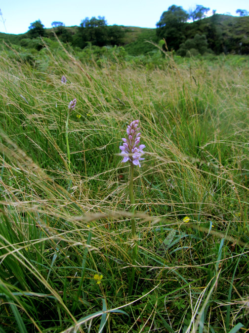
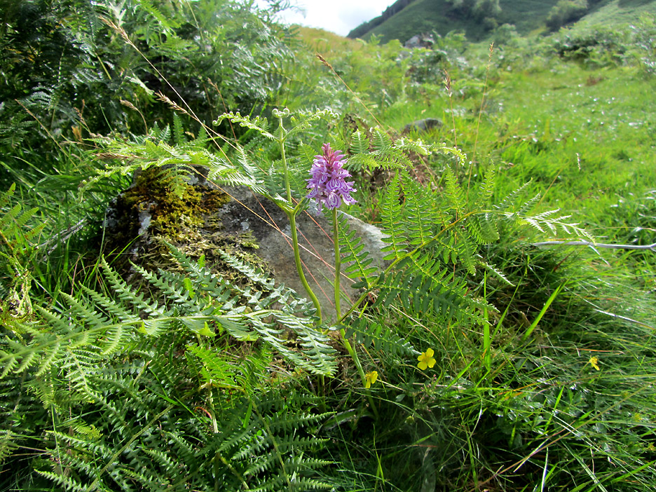
They look like the Heath spotted orchid again.
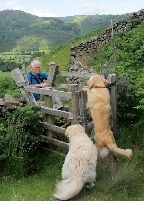
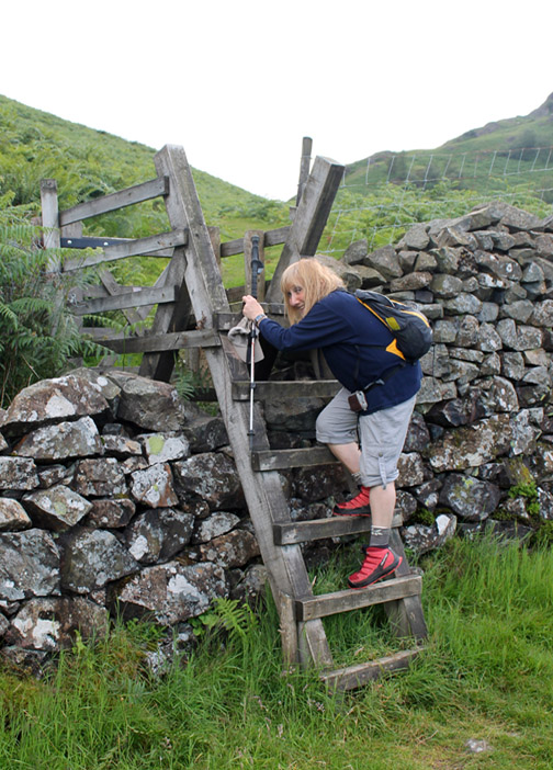
Heading down to the wall . . . hope there's a gate. The path is shown on the map, but it is just 'open access' not a right of way so we keep our fingers crossed.
The drop on the other side was a big one and the gate avoided complications with livestock trying to use the stile.
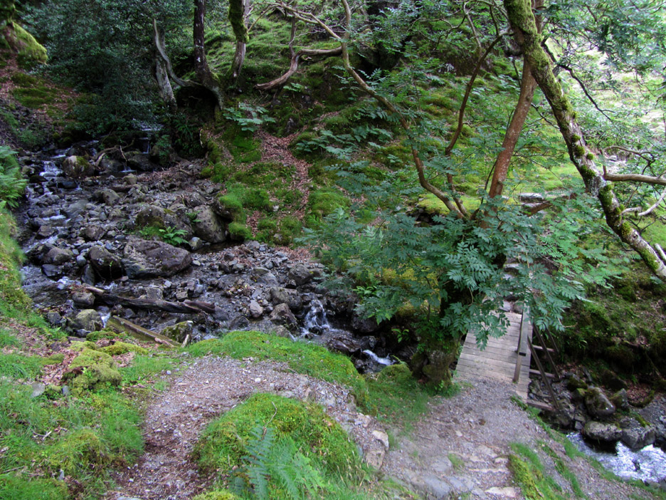
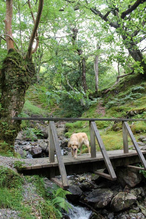
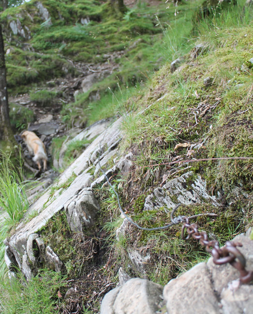
A steep side track took us on a welcome diversion down to the footbridge over Scaleclose Gill.
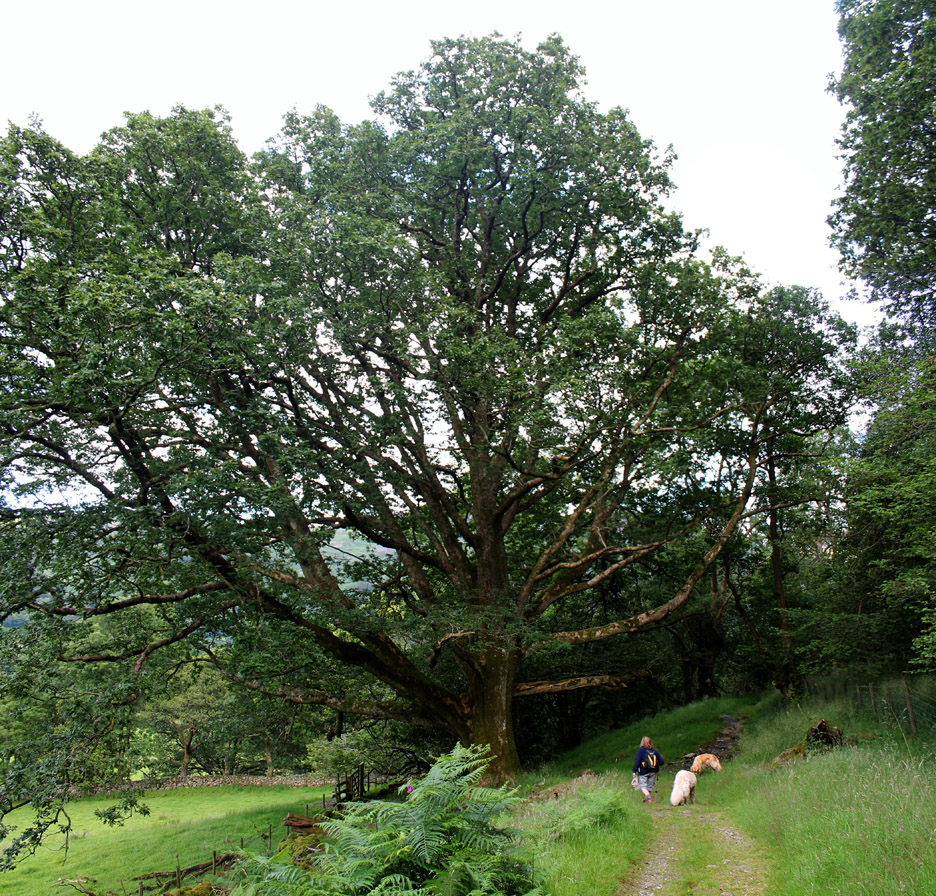
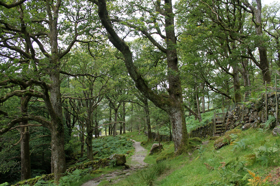
A mighty oak as we enter Johnny Wood. It was so big it needed two photos vertically stitched together in order to do it justice . . . scroll back up to see the top. Protected from the worst of the winds, this mighty oak has prospered . . . I wonder how old it actually is ?
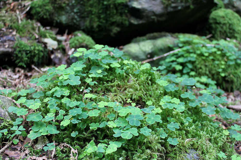
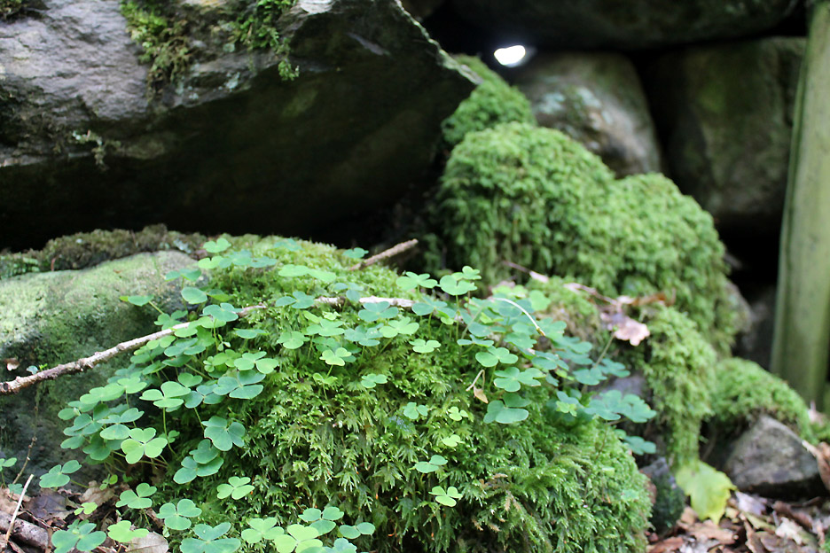
In the wood under the closed canopy the environment is more humid and moss and the clover-like common wood sorrel prospers.
Here it is growing across the boulders of an ancient dry stone wall.
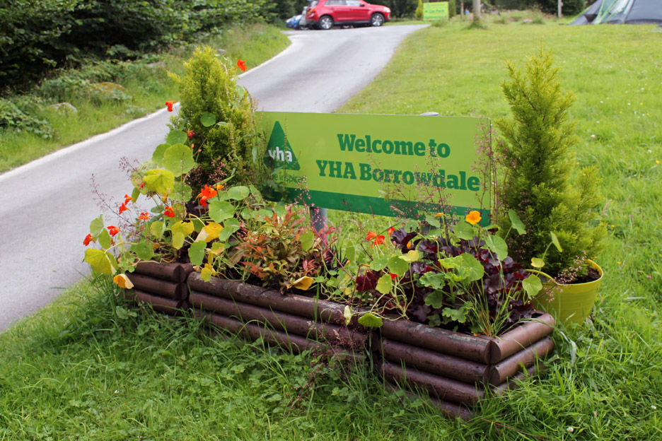
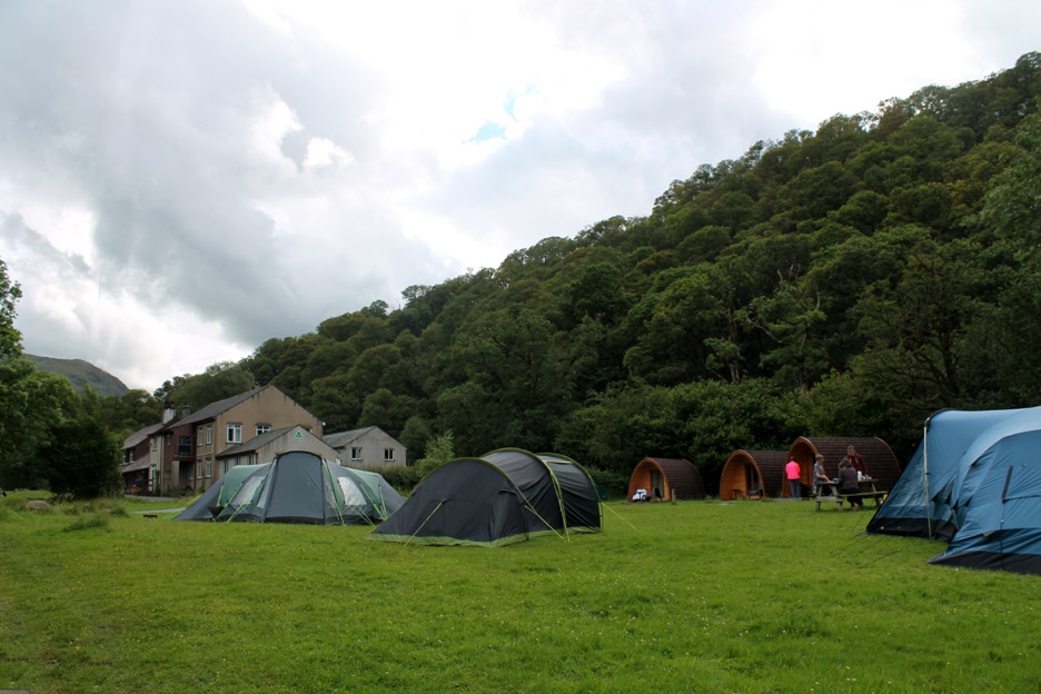
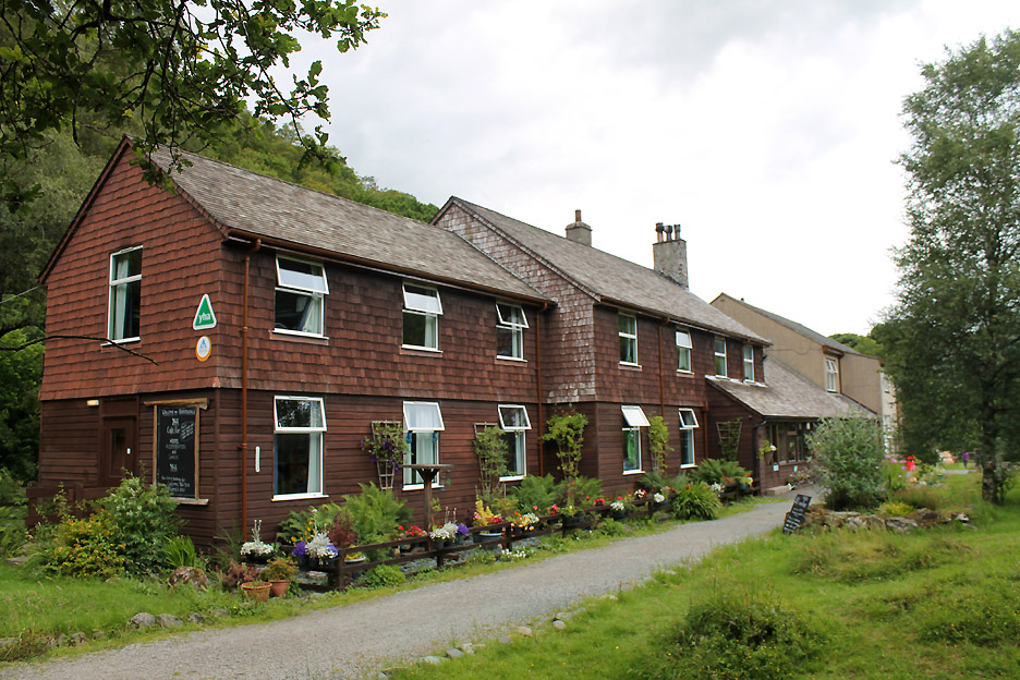
Soon the track leads out into the grounds of Borrowdale Youth Hostel at Longthwaite. The road has come across the valley from Rosthwaite via the Peat Howe bridge.
The hostel has branched out to offer space for tents and now even have their own camping pods.
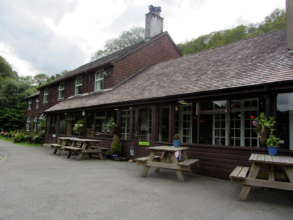
The distinctive timber clad building offers a welcoming set of outdoor (and indoor) tables.
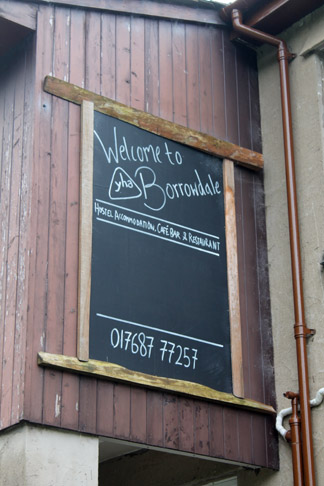
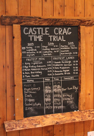
While inside ordering tea and scones I enquired about the Time Trial notice board. Apparently they have a staff challenge and annual race from the hostel to the top of Castle Crag. The fastest time (one way) is held by Ricky Lightfoot in just 11 minutes 39 seconds for the 1.25 mile / 650 ft ascent to the top. Faster than I could do it . . . a lot faster !
Cheers !
The hostel has been converted to rooms, rather than dormitories as they were when Ann stayed here many years ago.
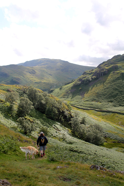
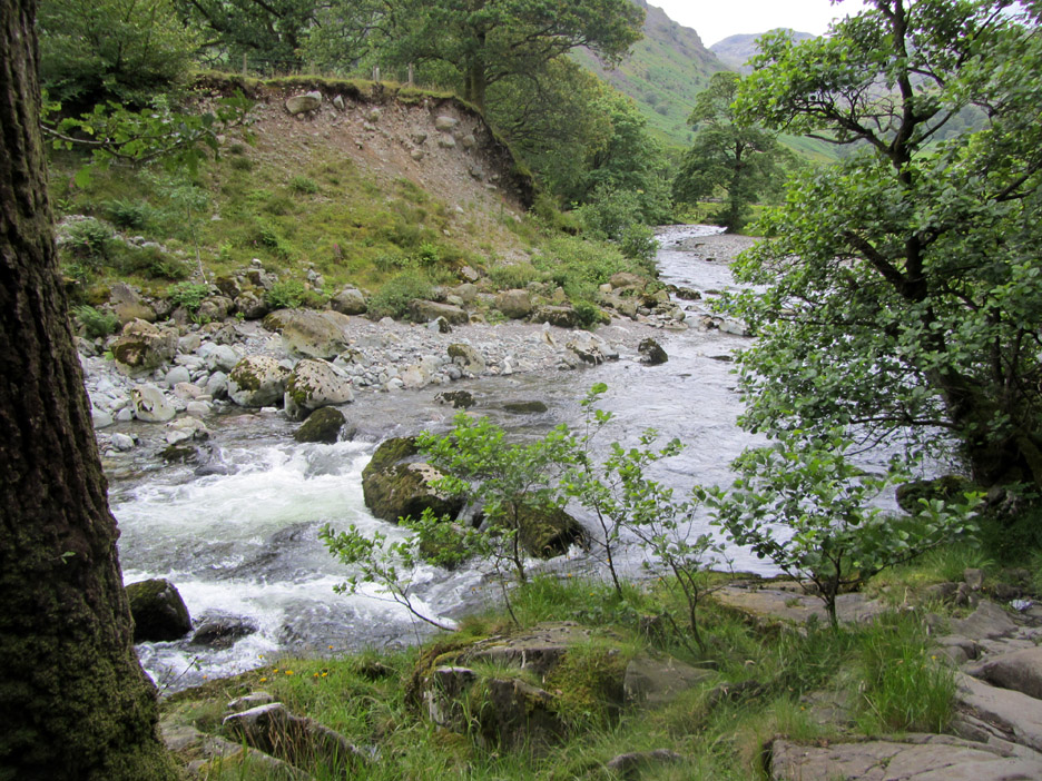
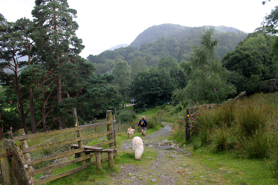
Our route now returns to Seatoller via the lovely riverside path.
This is the River Derwent just below the point where Glaramara's Combe Gill enters the main river. There's a slight constriction for the river here so it twists and turns down a rocky section of valley.
The broad, flat meadows return above the narrows and the fields becomes workable farmland once again.
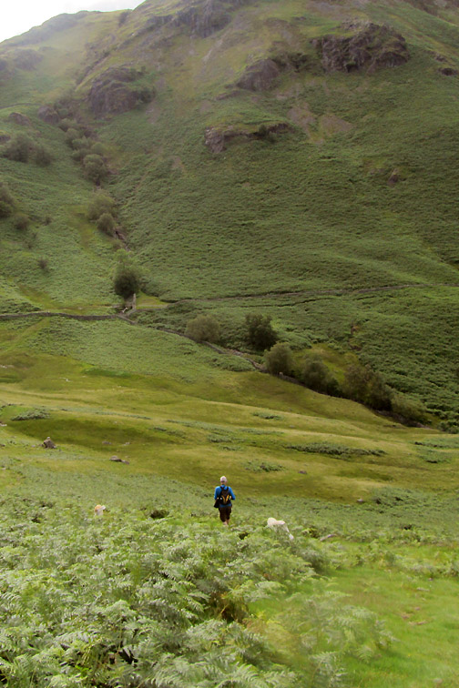
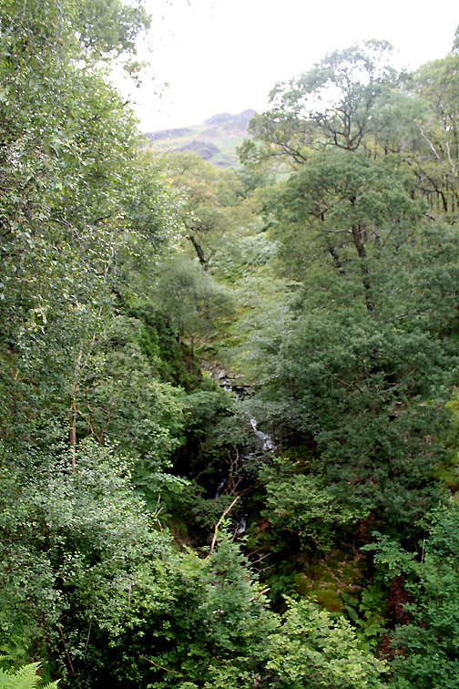
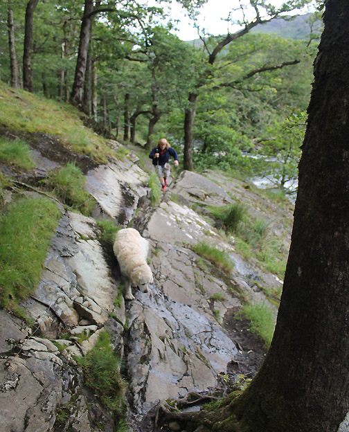
Walking through the last section of Johnny Wood we follow the path back up the valley.
Passing Glaramara it feels like late afternoon, but with the extended daylight of summer it is in fact nearly 7pm. The heat of the sun is gone . . . the next low pressure weather system is heading our way . . . and it has started to pick with rain.
Did I say "pick with rain" ? . . . if we had been any longer it would have been a case of breaking out the waterproofs ! Still . . . the delay caused by late afternoon tea more than compensated for the slight dampness in the last few minutes. - - - o o o - - - High Doat . . . a value-for-money short walk in Borrowdale with great views on a fine day like today. Technical note: Pictures taken with either Ann's Canon Sureshot SX220, or my Canon 1100D Digital SLR. Resized in Photoshop, and built up on a Dreamweaver web builder. This site best viewed with . . . the opportunity to re-hydrate along the way.
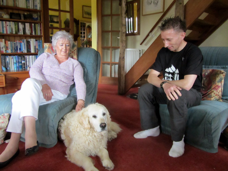
POST SCRIPT : We had a visit this week from Peter and family while he was up in the Lakes for a few days.
Here he is with Barbara Burgess, his mum, and Harry. We've known Peter since 2001 when he founded the Online Fellwalking Club The OFC pre-dates all the current Facebook groups and was a real meeting of minds of those interested in fellwalking in the early on-line days. It is still going now, in the form of a Yahoo message board, even though club meets are few and far between. Pete has also created the famous Tubular Fells wall charts of the Lakes and now Scotland and Wales. He was up here this weekend to promote and distribute more copies of the posters to the bookshops and outdoor shops locally.
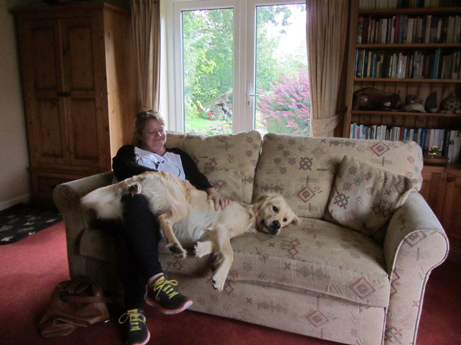
His wife Tracey was not likely to forget her encounter with Dylan either . . . too large now to be a lap dog despite what he thought ! " Get down Shep ! "
Click on the banner for Peter's Tubular
Fells site - - - o o o - - - |
Go to Top . . . © RmH . . . Email me here Previous walk - 22nd July 2015 - Loweswater Sunset A previous time up here - 24th November 2012 Alan's Castle Crag 214 Next walk - 8th August 2015 - Our Pin Mill Holiday
|