![]()

|
|
|
|
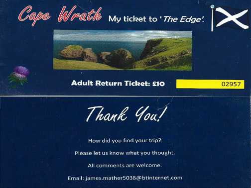
" Scotland 2015 ~ 4. Cape Wrath "
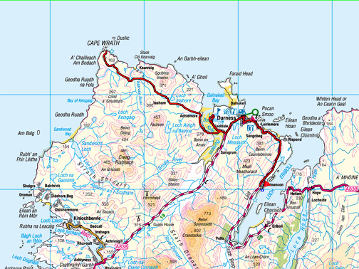
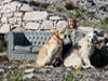
Date & Time: Wednesday 13th May 2015. Locations : The North coast of Scotland. Places visited : Keoldale Burrows and Cape Wrath. Accommodation : Croft 103 Portnacon, Durness. Distance : A local walk and a 22 mile bus trip being driven to Cape Wrath and back. With : Ann and myself and our dogs, Harry and Dylan. Weather : Overcast in general . . . but windy with some beautiful sunshine. © Crown copyright. All rights reserved. License number PU 100034184. |
|
|
We had planned the timing of our Scottish holiday to enable us to repeat a journey that we first did some twenty six years ago.
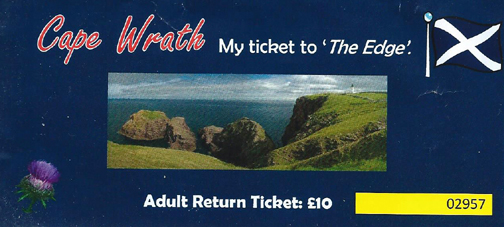
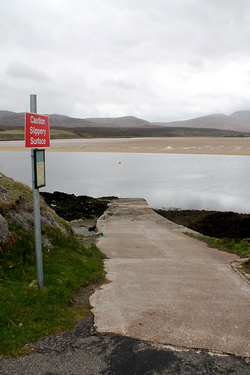
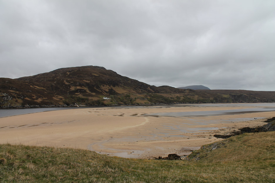
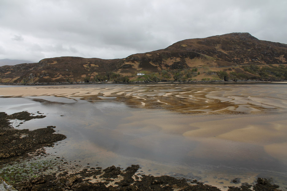
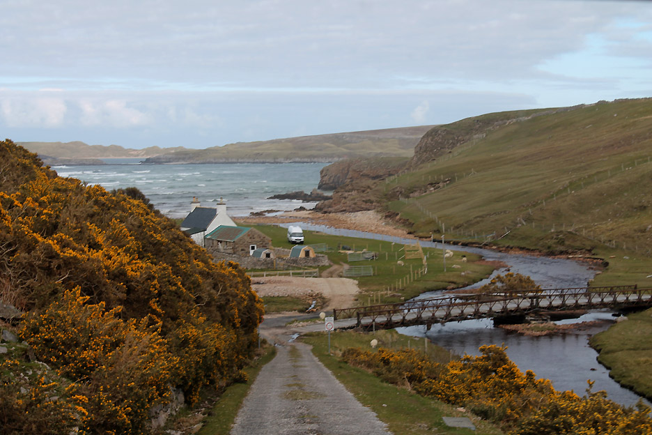
You can't book a ticket, it is first come, first served so we had time to fit in a local walk on the sandy promontory that pushes out into the Kyle of Durness, the one between the ferry slipway here at Keoldale and the golf club we saw at Balnakeil yesterday.
The tide is low but the reason the ferry isn't running is that the bus is away on its morning trip.
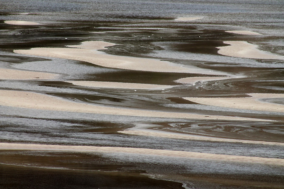
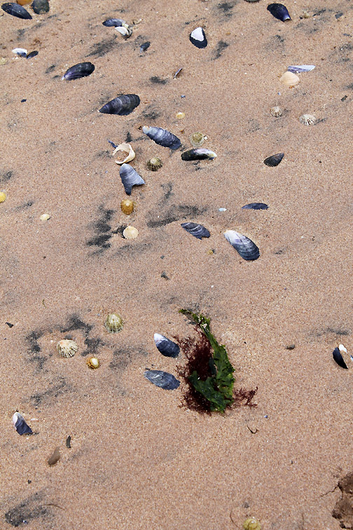
The sand sculptures in the Kyle are full of wavy patterns . . . I suppose on this occasion the word wavy has never been more appropriate ?
If I could paint it or sculpture it in wool I'd make a fortune.
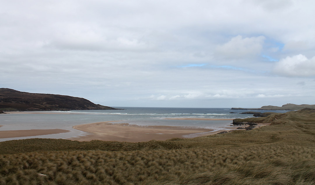
Looking down toward the open sea but the estuary is a long one and the open ocean is several miles away.
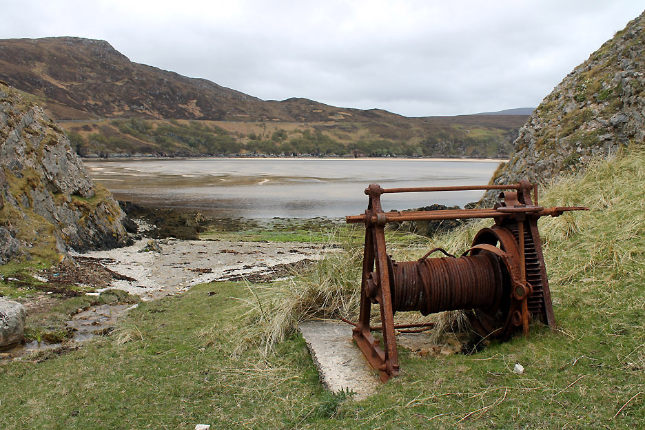
A cleared area of beach and an old winch tell of a different age.
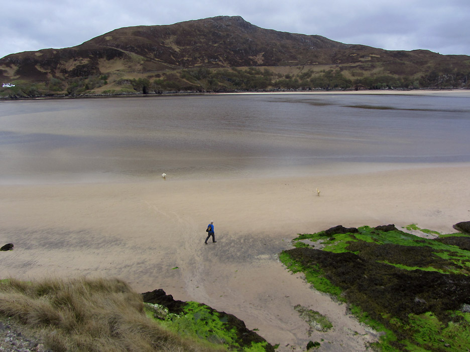
Ann takes the high road and I take the low road . . .
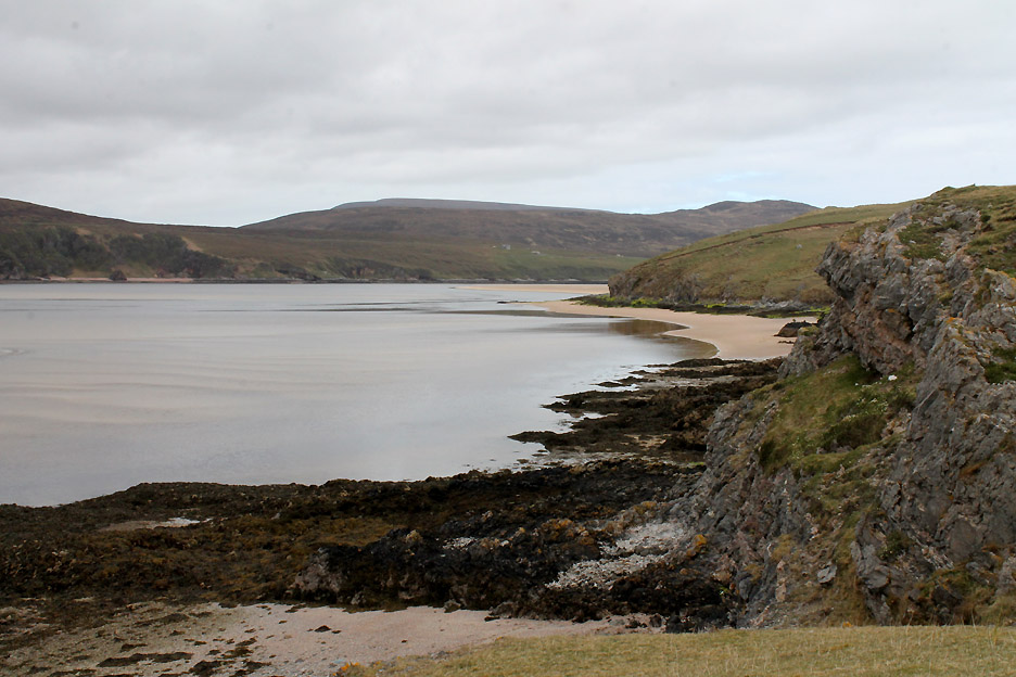
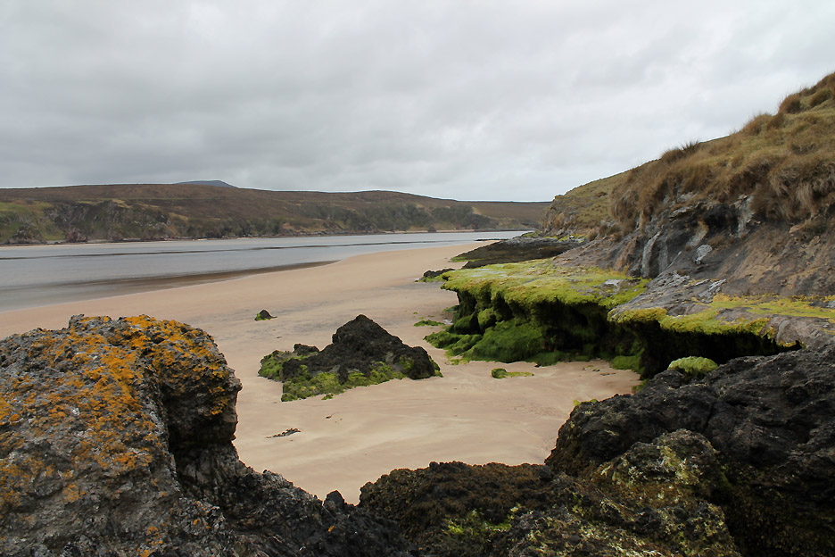
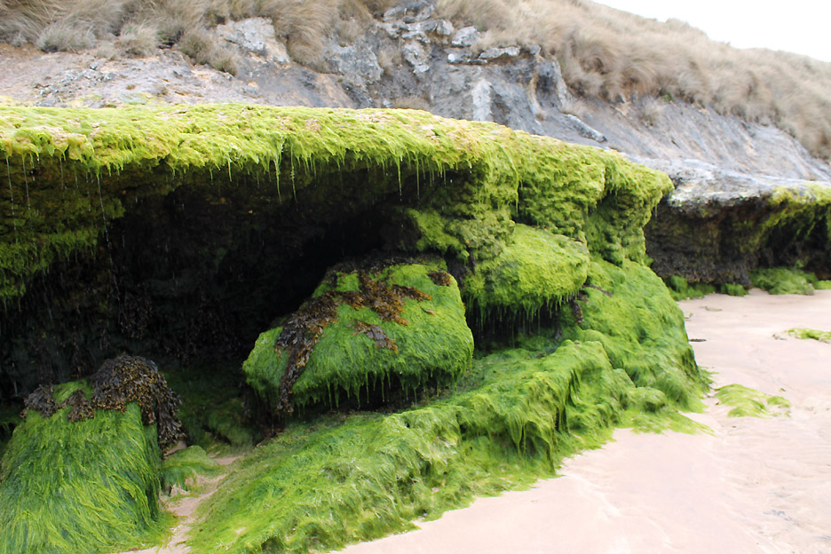
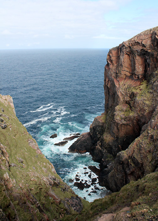
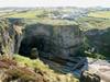
I had gone down onto the beach to let the dogs play on the sand but also to see the unusual rock structure at the foot of the cliffs.
It was as if the limestone had been leached out of the headland and formed a calcium shelf like a flat stalagmite flow. The sea has had a go at undercutting it, but with few big waves it has grown seaweed rather than been eroded away.
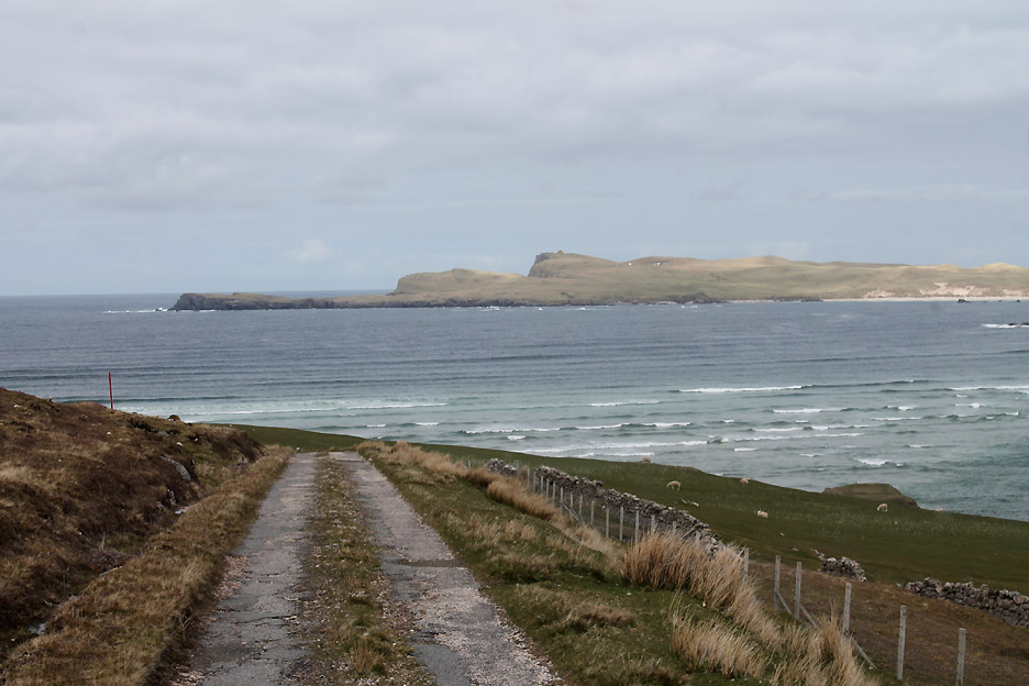
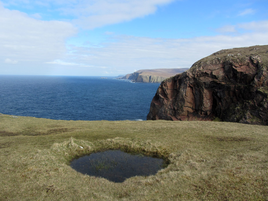
At the summit of one of the larger dunes we get a view of the open sea, out beyond Faraid Head on the right.
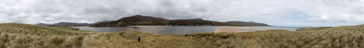
Time to turn around now to be back for the ferry . . . before you go . . . click here or on the photo above for a Loweswatercam 360 degree annotated panorama. (backspace to return)
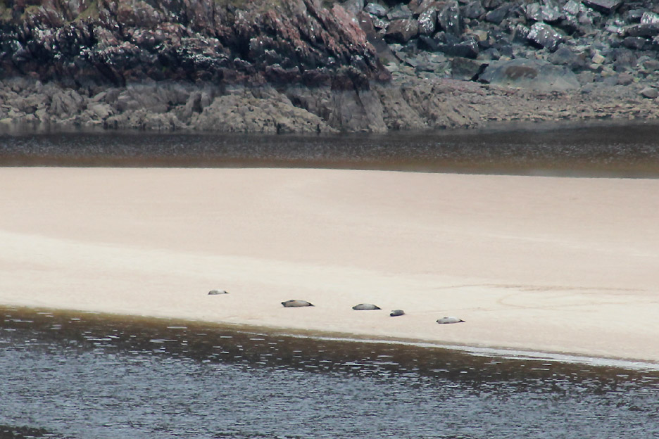
As the tide starts to turn the water floods back into the river. These five seals resting out on the sandbank will soon have their low tide slumbers interrupted.
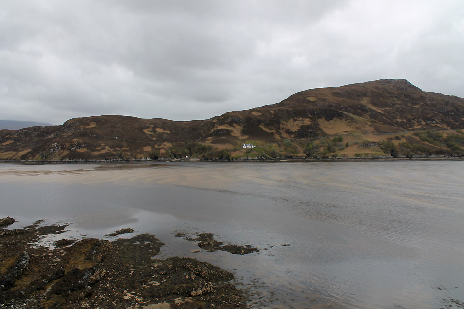
The sand ripples have gone and the sand bar opposite the Ferry House is now covered.
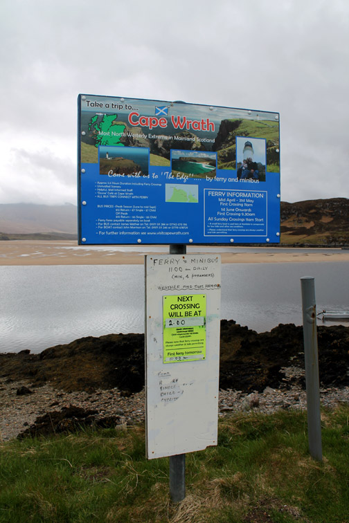
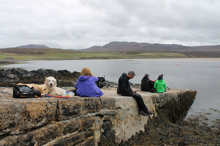
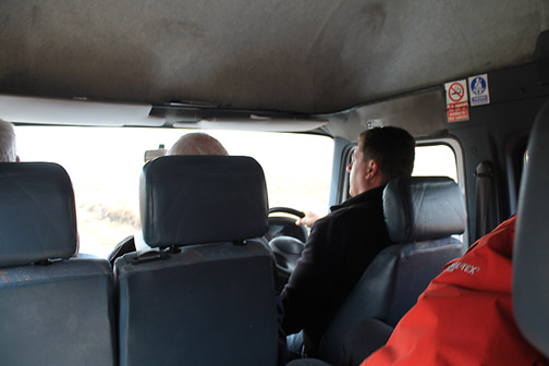
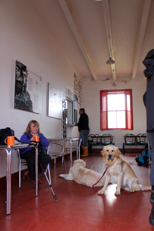
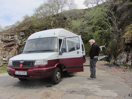
Time to bag a place in the seating area and enjoy a little lunch before we go across. There are three sorts of folk travelling today, those that want to cycle to the edge of the world, those that want to walk all the way and a small group like ourselves who will avail themselves of the bus trip.
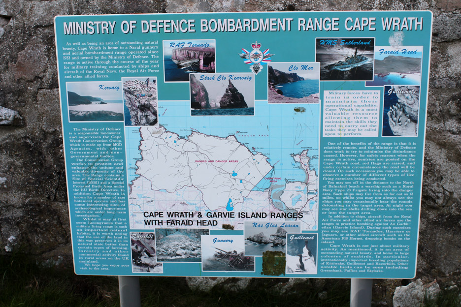
The area is not without its difficulties as a road crosses a Ministry of Defence firing range. Twice a year this area is used to train service personnel. No simple war games with dummy bullets . . . when they do it up here they use live missiles and real bombs, one of the few places in Europe that they are able to do this. It is usually just in Spring and Autumn, away from tourist seasons . . . but not always !
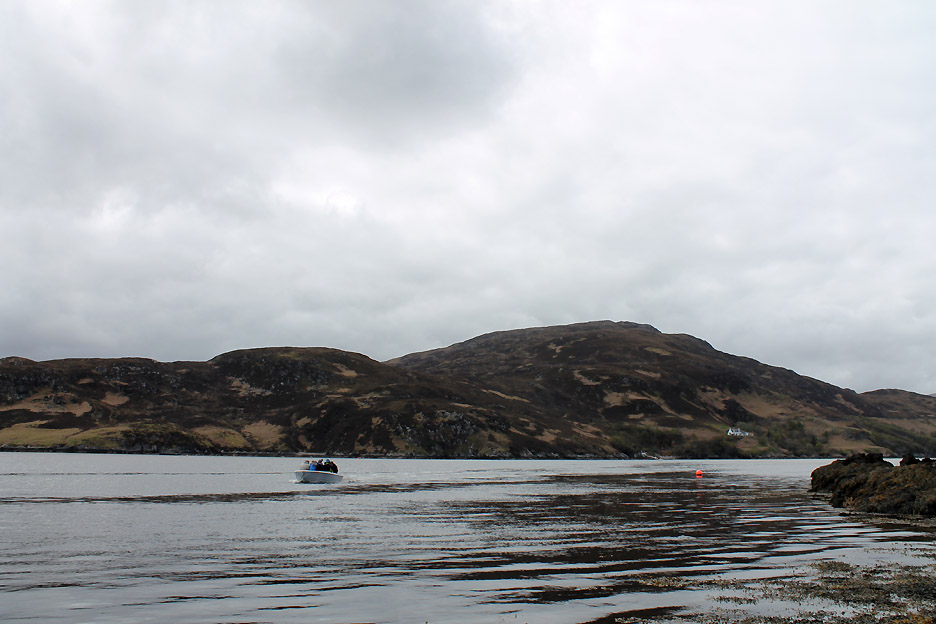
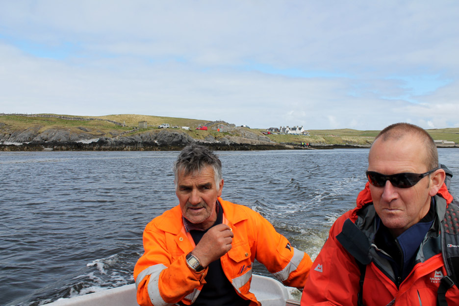
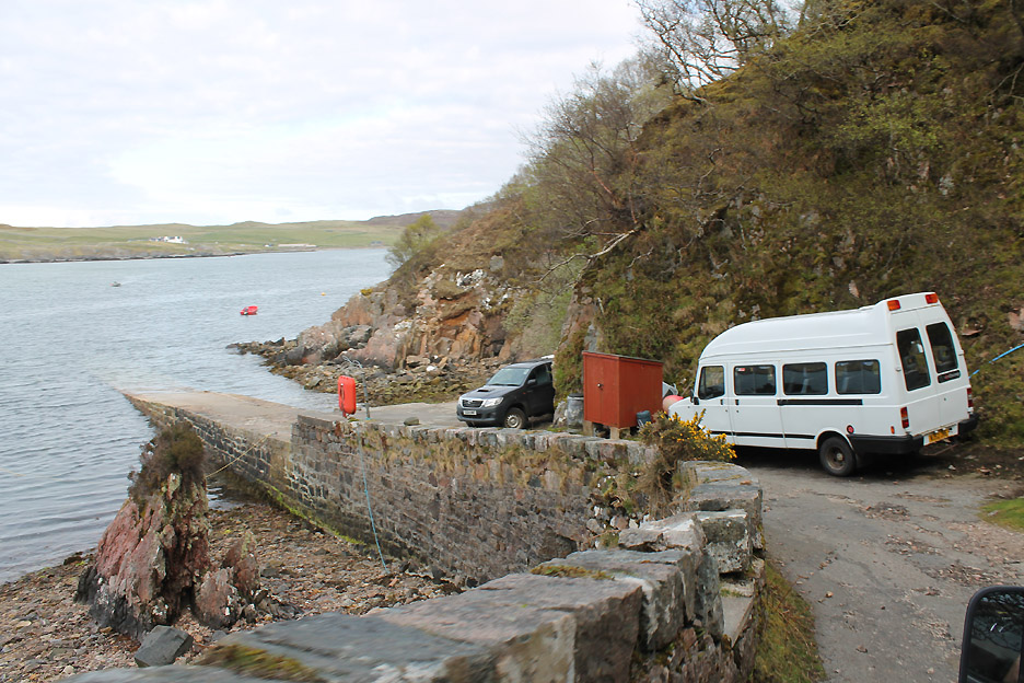
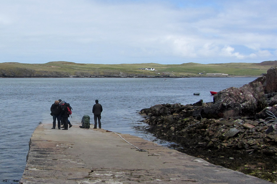
The bus has arrived at the ferry point opposite and a small boat travels over from the other side.
Five at a time we are ferried across, apparently the larger boat is in for repair and safety work.
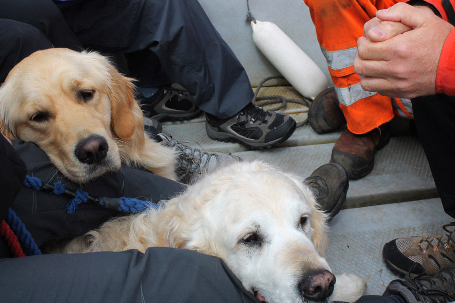
Not keen to get in but once onboard Harry and Dylan sit quietly, as if resigned to the fate dolled out by their mad companions (us).
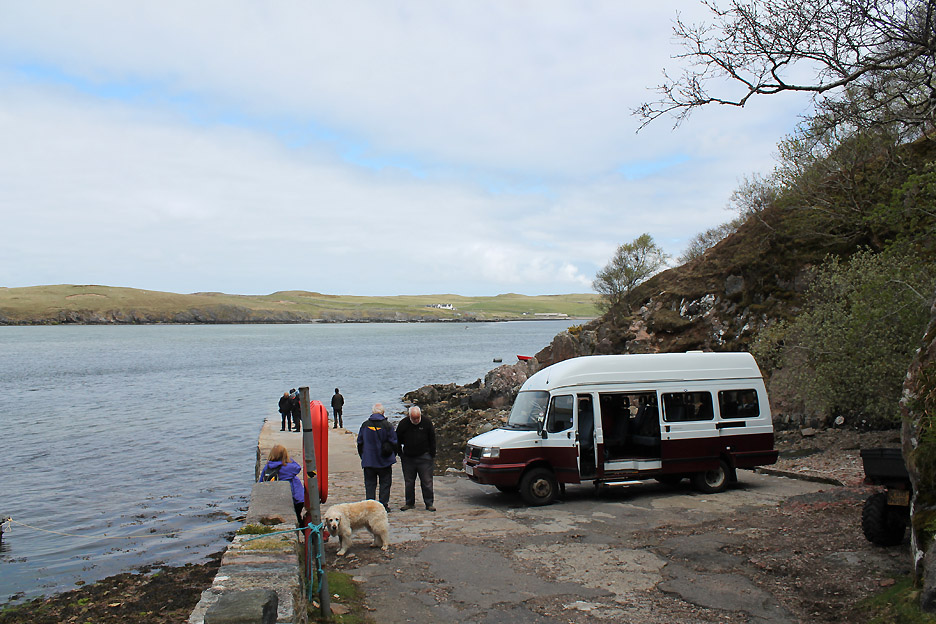
Safely on dry land once again, we wait while the other travellers are ferried across.
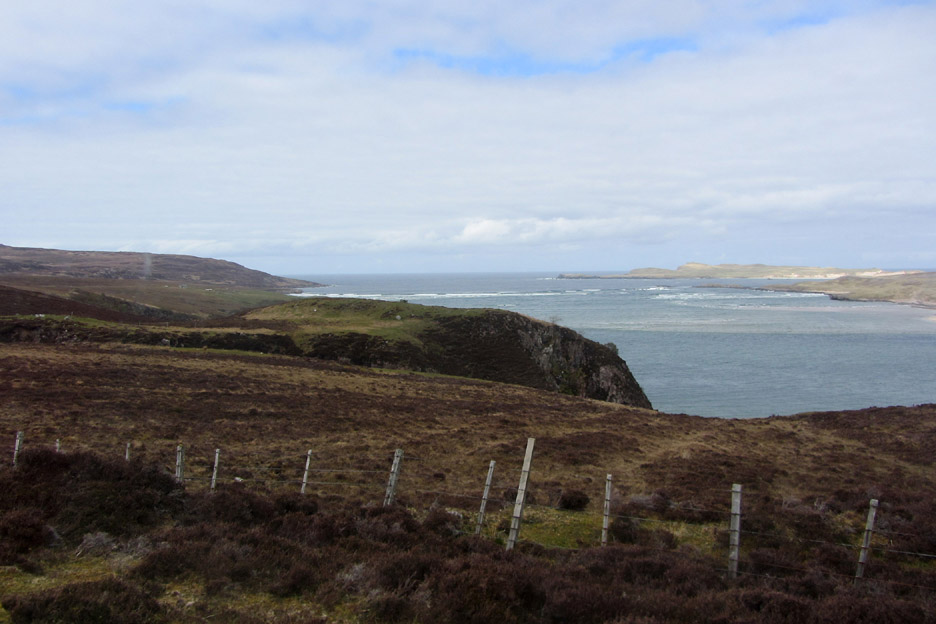
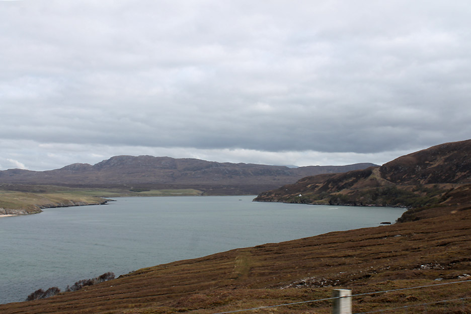
We head out on the only road on the island-like promontory. The outer two miles of the road was built to construct the lighthouse, this first nine were constructed later to connect the lighthouse and the crofts to a shorter ferry crossing, here within the sheltered waters of the Kyle.
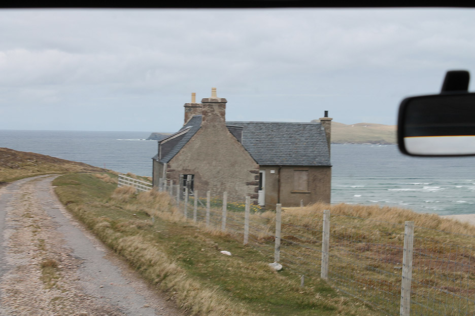
Achiemore House . . . once a croft, then a holiday home but sadly not in use at the present time.
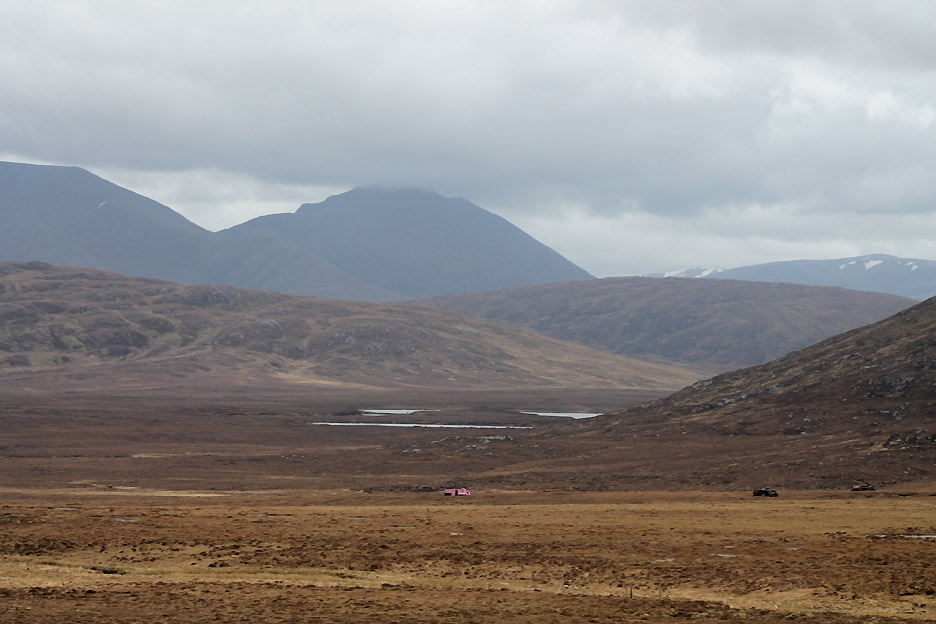
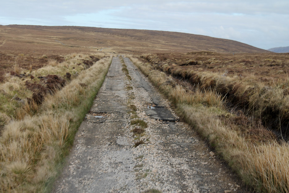
Across the waters is Faraid Head as our road dips and climbs along the side of the bay. With the road in this condition the eleven miles will take an hour . . . yes that will be our average speed today.
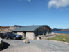
The military built a Bailey Bridge at Daill many years back. This is Stuart's home for the summer at least . . . and they look like new camping pods in the garden . . . any takers ?
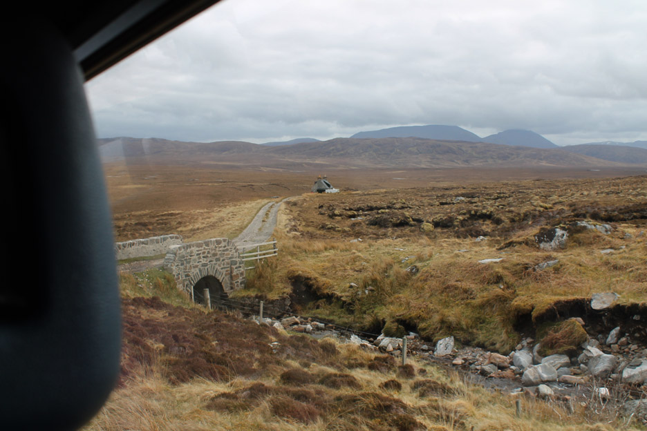
The isolated croft of Inshore is passed and we cross the narrow bridge then head out over more wide tracts of moorland.
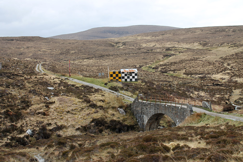
Several old army vehicles have been brought in to act as targets for the firing range. Is the pink one for beginners to fire at because it is easier to see . . . or is that one for the lady-gunners to aim at (oops ... sexist remark !) ?
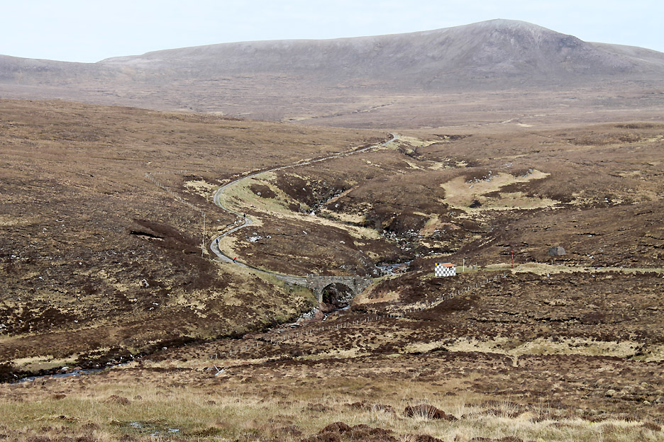
Please don't fire at this one . . . it marks the formal entry point of the road onto the firing range. Stuart tells us that the narrow stone bridges were designed and built by the Stevensons who constructed the lighthouse and the road. They are only just wide enough for our bus to cross . . . they were designed for a different age.
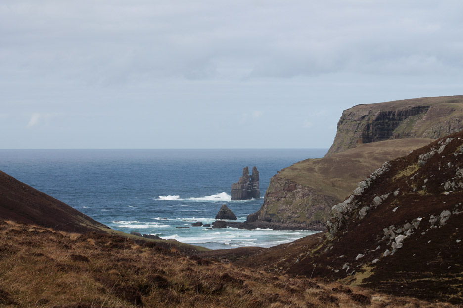
A brief glimpse of Stack Clò Kearvaig as we pass Kearvaig Bay.
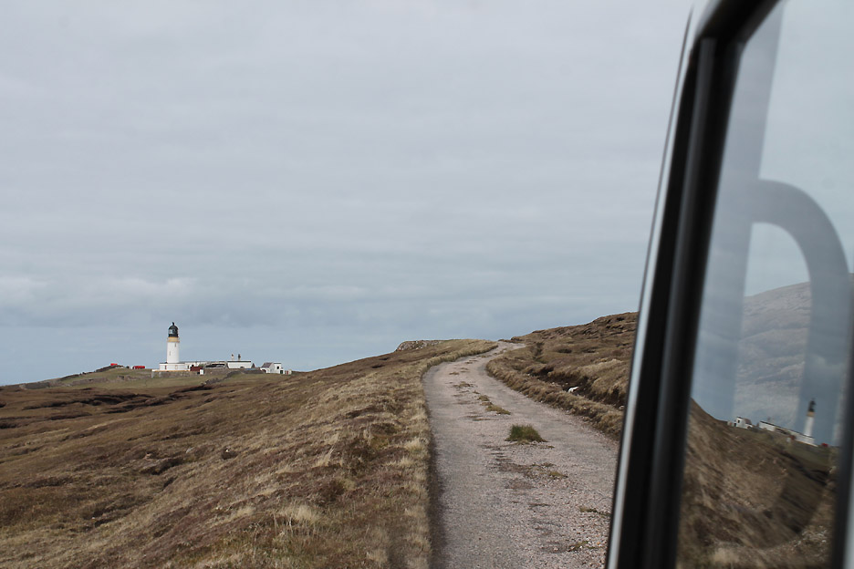
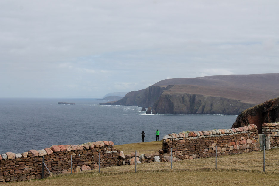
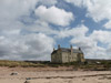
Around the final bends and the lighthouse is in view . . . our bumpy but enjoyable ride is almost over.
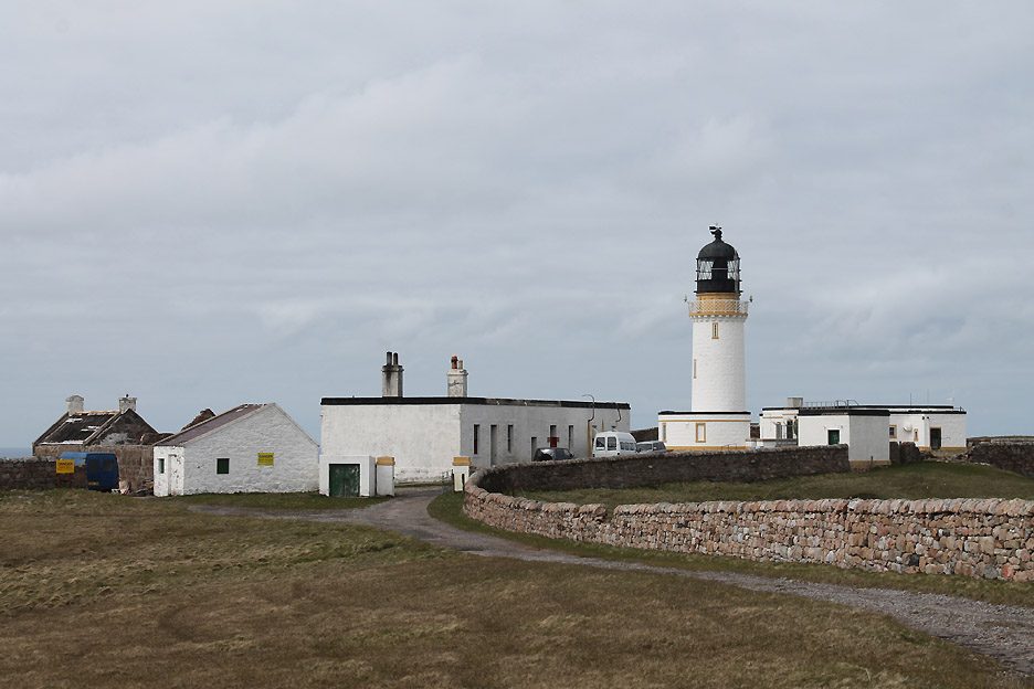
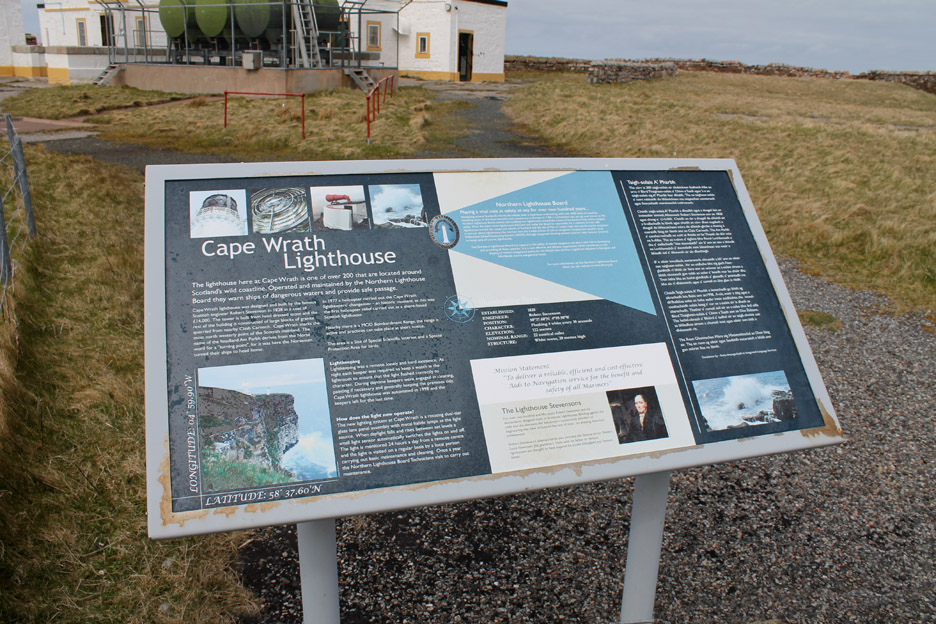
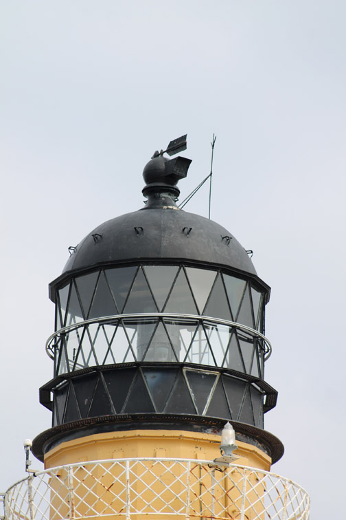
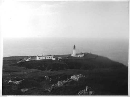
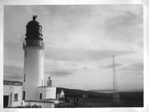
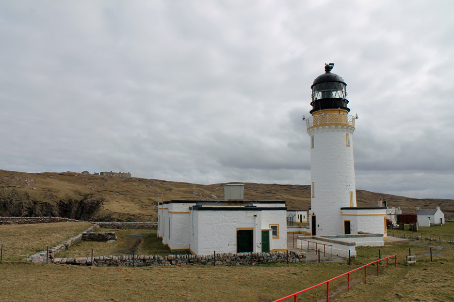
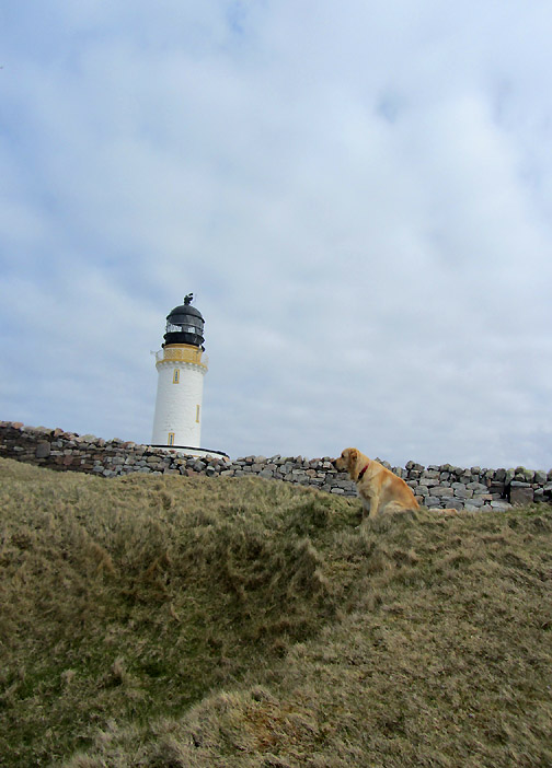
The lighthouse dates back to 1828 and was once home to a team of lighthouse keepers, but is now automated and unmanned. The light is monitored remotely by the northern Lighthouse Board and maintained by visiting crews who fly in when required. There is one person who lives out here all summer . . . we'll meet him later.
Leaving the minibus, we have forty minutes or so to have a look around. Click here to see the Northern Lighthouse's web page about the light. All large equipment and diesel required to power the machinery are landed once a year by the Lighthouse Tender at the jetty two miles away.
The light is surrounded by various old accommodation and workshop buildings and on the hill is the remains of a Lloyds Signal Station used to radio messages to shipping and eventually part of a one-time global communications system.
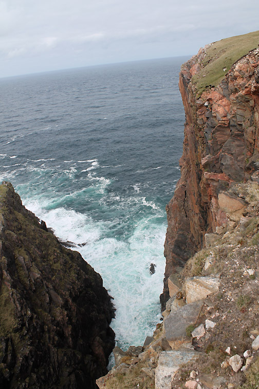
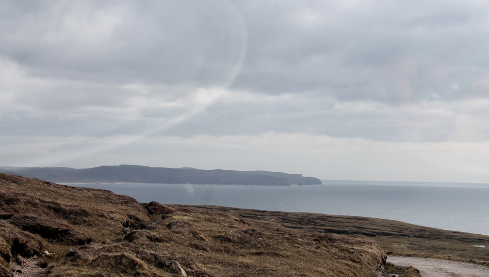
Surprisingly looking east along the north Coast of Scotland . . . normally thoughts are turned north and west up here.
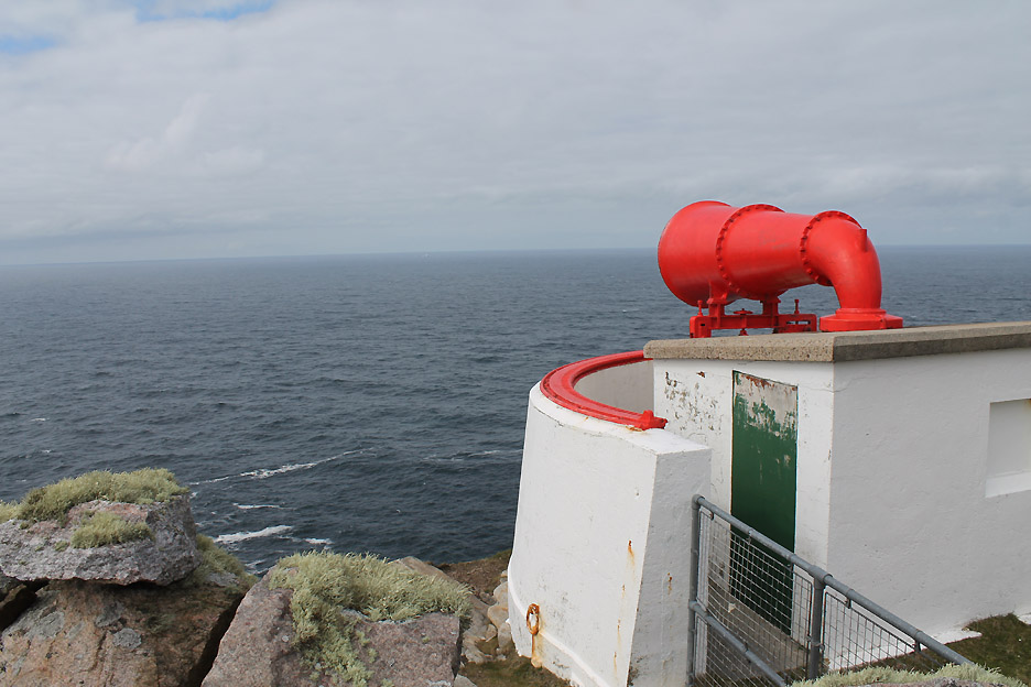
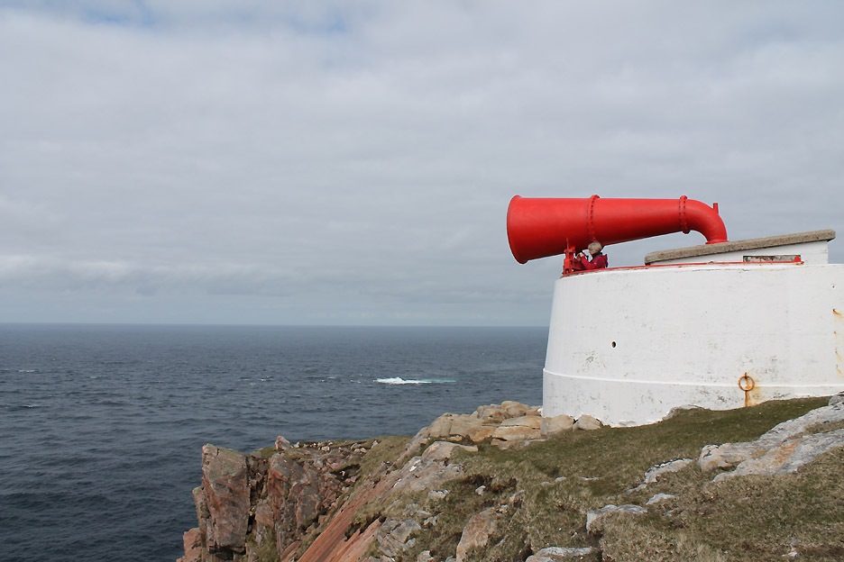
The purpose of the lighthouse was also to provide sound signals in the event that fog or bad weather prevented the light being seen. In latter years a radio beacon also gave the Cape's location to passing shipping.
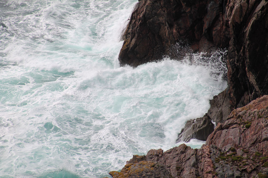
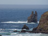
The white water off to the north is a nasty looking reef half a mile or so out from the cliff. It has a name on the map . . . Duslic Rock . . . one to be avoided !
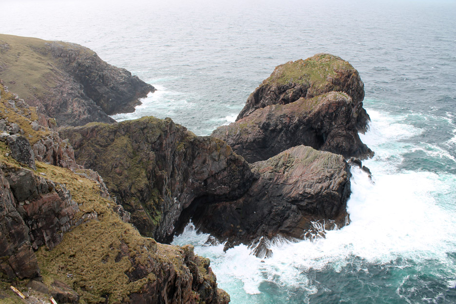
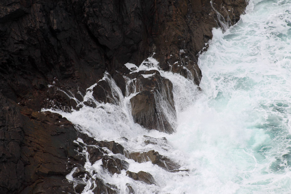
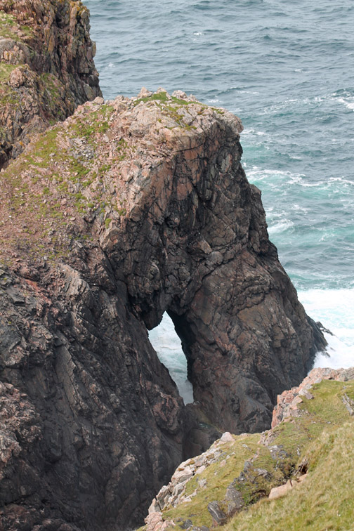
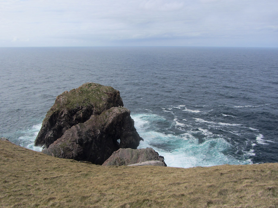
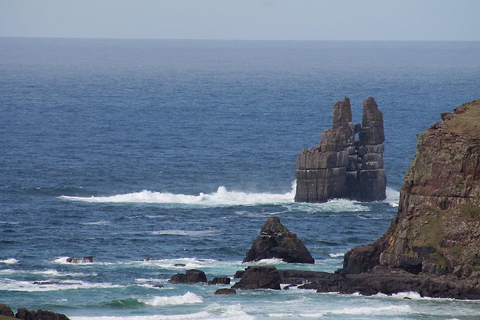
Below the mighty cliffs of Cape Wrath is a dramatic stack that juts out into the sea.
Even today, on what could be termed a calmer sort of day, there's s good sea pounding at the rocks below.
Even without sound of movement in this photo you can just 'hear' that surf pounding the cliffs.
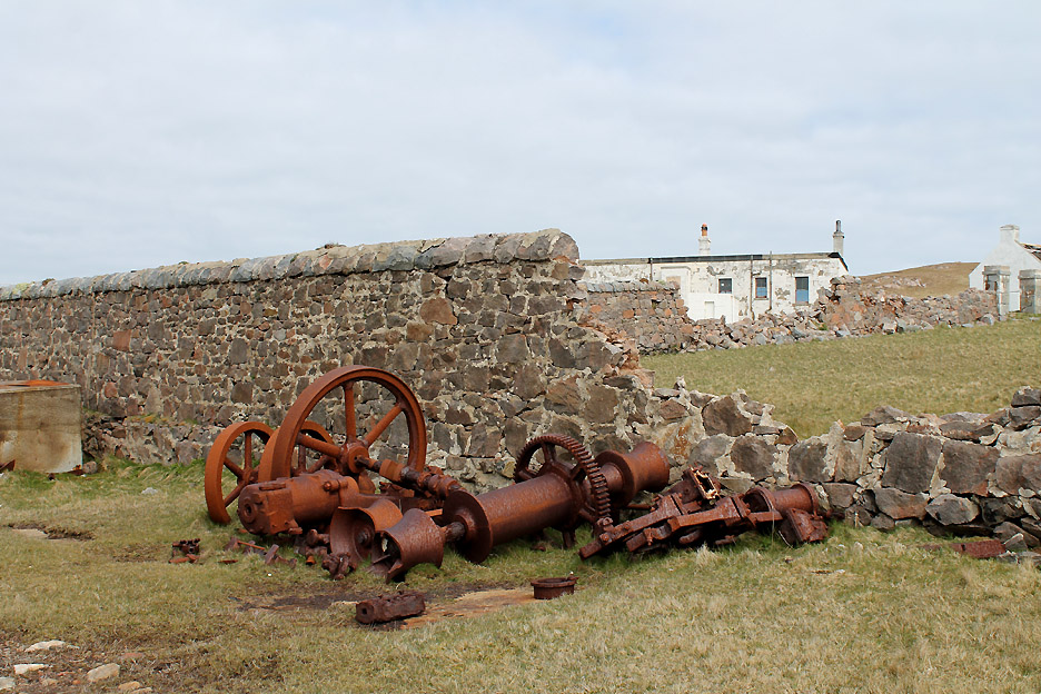
Robert Stevenson later realised that building a lighthouse 900 feet up on the top of the cliff meant that in poor weather the light was often obscured by cloud. There were plans made and an initial shaft sunk on the headland in 1914 in order to construct a second light down on the final island stack and much closer to sea level.
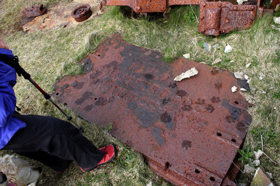
Here next to the wall was the remains of the compressed air-driven winch that was used in the creation of the shaft. The plan was to dig down and install a lift system to the lower level, then build a bridge across in order to build that low-level light. The plan failed, ostensibly due to a falling out with the contractors. Who knows, the weather may have been against them, or possibly the onward march of wartime radio technology meant that the effort of building a new light was proving unnecessary.
Still the remnants, and possibly the true story, is held in the rusting remains. The writing stated Taylor Lister and Co Ltd, (possibly) Blaydon-on-Tyne, the home of an iron foundry on the east coast of northern England. The fifty foot shaft that they did manage to build has now been back-filled and capped.
On the top, looking east again. Could this be a round crater from an errant bomb, dropped too close to the lighthouse during manoeuvres or could it date to a live attack on the lighthouse itself during the war ? There's no-one about from that era to tell.
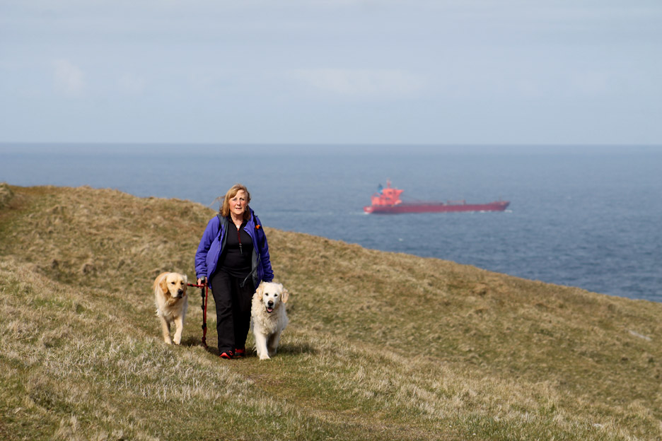
Ann returns from the cliff walk as a large tanker turns the corner and sails east towards John o' Groats.
Time to be back in the bus for the return trip back to the ferry.
As the road swings left and disappears behind the hill we get a last view ahead of Sandwood Bay (which we visited on our last visit up here) and the Am Buachaille Stack.
Stuart briefly stopped the bus on the way back in order to take a clearer picture of Stack Clò Kearvaig at Kearvaig Bay.
Back over the Stevenson's bridge. The cyclists we shared a ferry with on the way over have reached the bridge on their outward ride.
Our journey, as I said earlier, was eleven miles in the hour . . . the reason being the state of the road. I don't think it has seen any fresh tarmac in the twenty six years since we were last here ! Stuart hardly ever managed to engage third gear on the whole of the trip and the inability to drive any faster means they are basically restricted to two trips a day.
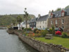
Nearly back now as the ferry house comes into view.
The end of the road . . . this is where we say goodbye and change to the ferry once more.
Waiting for the tide . . . no . . . waiting for the small boat to ferry everyone back five at a time. [ For full information on this excursion to the 'Edge of the World' . . . click here ] - - - o o o - - -
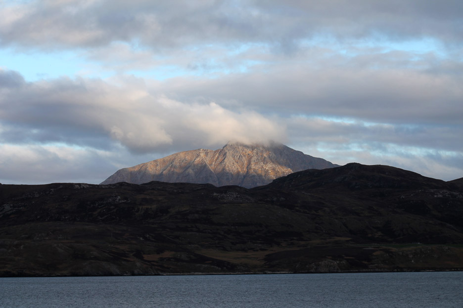
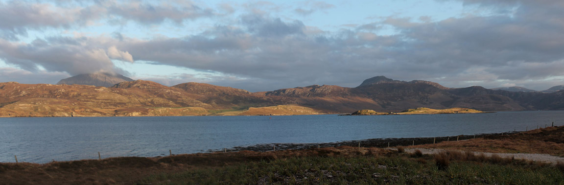
Ben Hope looking resplendent in the evening light . . . must mean we are back at our house.
Time to prepare supper and watch the world go by . . .
|
- - - o o o - - - Technical note: Pictures taken with either Ann's Canon Sureshot SX220 or my Canon 1100D Digital SLR Camera. Resized in Photoshop, and built up on a Dreamweaver web builder. This site best viewed with . . . . eleven miles of new tarmac please . . . if only to help maintain the tourism. Back to top - Go to next page
Email me here # © RmH # Go to Home page
|