![]()

|
|
|
|
" Scotland 2015 ~ 3. Portnacon and Tongue "
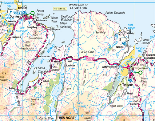
Date & Time: Monday 11th / Tuesday 12th May 2015. Locations : The North coast of Scotland. Places visited : Portnacon, Durness, Balnakeil, Tongue and the Rabbit Islands. Accommodation : Croft 103 Portnacon, Durness. Distance : Two local walks and a 45 mile drive to Tongue and back. With : Ann and myself and our dogs, Harry and Dylan. Weather : All sorts . . . rain showers to beautiful sunshine. © Crown copyright. All rights reserved. License number PU 100034184. |
|
|
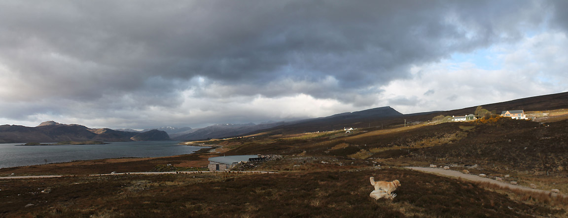
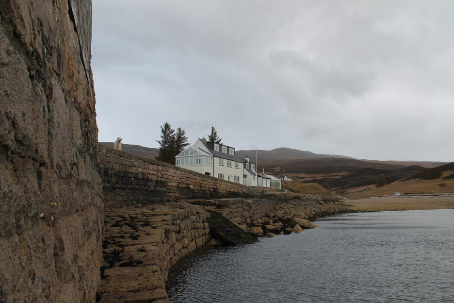
Our holiday home has been built on the adjacent piece of land to the old harbour of Portnacon. An early local walk to the pier with the dogs works up an appetite for breakfast. A mid-morning walk finds us at Balnakeil (Keoldale next to Durness on the map) and we still have time to go for a drive across the large peninsular and east to see the village of Tongue on the northern-most coast of mainland Britain.
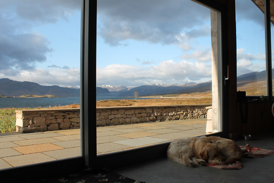
Guess the time ! The sun is up and the day is clear despite the hint of new snow on the distant peaks. The clue is in the way the dogs are sleeping . . . it's 7.30 in the morning . . . the time I normally rise for work, but there's no work calling today !
With such nice weather I take the dogs for a short "walk around the croft".
The owners have built a second dream home, Hill Cottage, higher up the hillside. It is like ours in style but the outlook is a little more southerly, directly down the loch rather than across as ours does. Each is beautifully private. [ The couple who were staying here this week were in fact the only people we saw passing our cottage when they went for a mid-week walk down to the explore the seashore and the local beach.]
We walk past quietly and follow up the track to the gate. Here Harry and Dylan enjoy the freedom of running and rolling around in the heather.
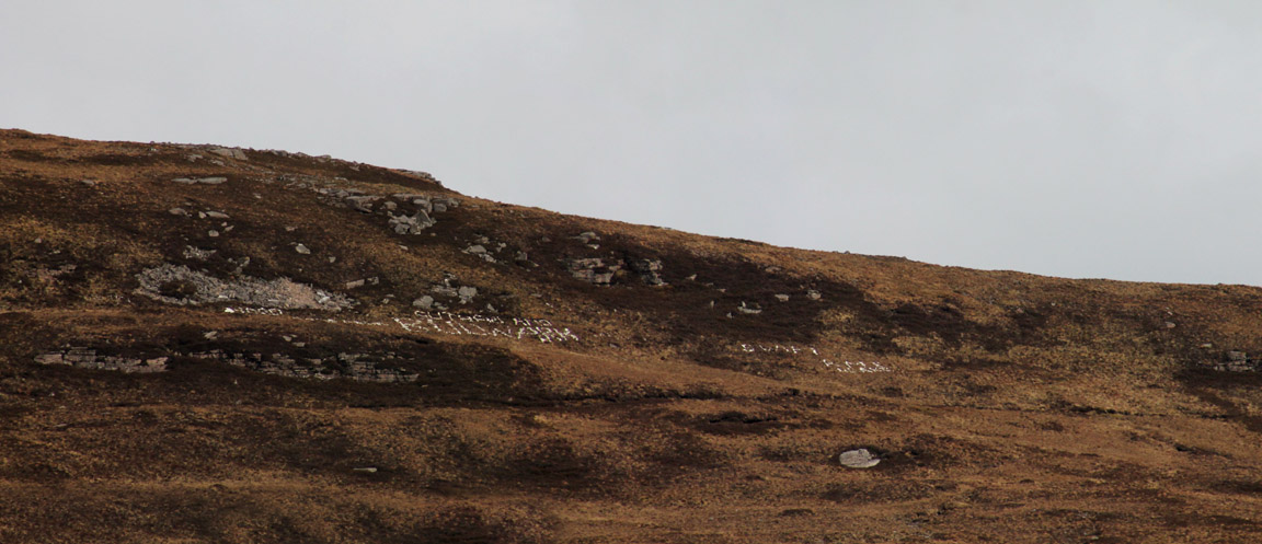
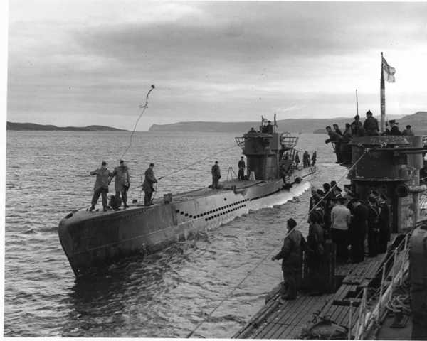
High on the hill there are names written out in white stones . . . but it takes the zoom lens to spot them. These are the names of navy ships that called in the harbour during the war . . . I'll tell you more about these on a later walk.
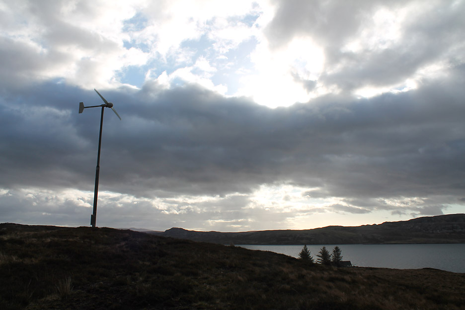
The croft also has a small wind turbine to complement the solar panels at the back of the cottage. Fiona and Robbie reckon this means the accommodation is carbon-neutral. Surplus power is fed back into the grid and there's plenty being generated today in this stiff breeze.
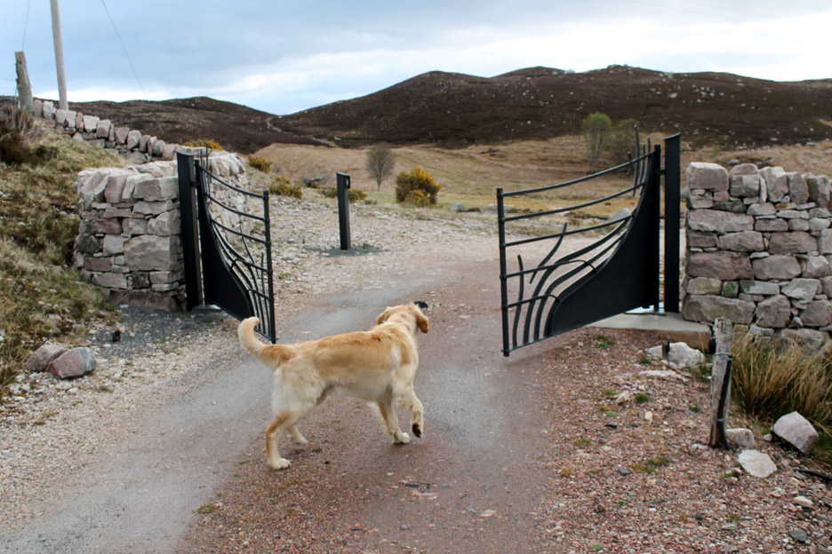
As if by magic . . . the gates open electronically as Dylan approaches them. I would explain about key fobs and radio waves but he just wouldn't understand.
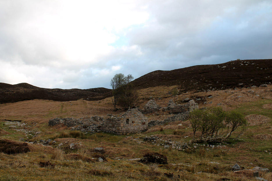
On the next piece of croft land are the remains of several old buildings. These would have been used when the croft was worked as a small holding. I presume they pre-date the Clearances.
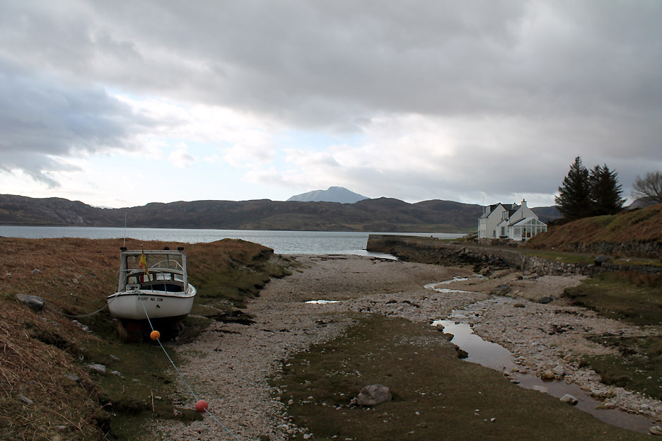
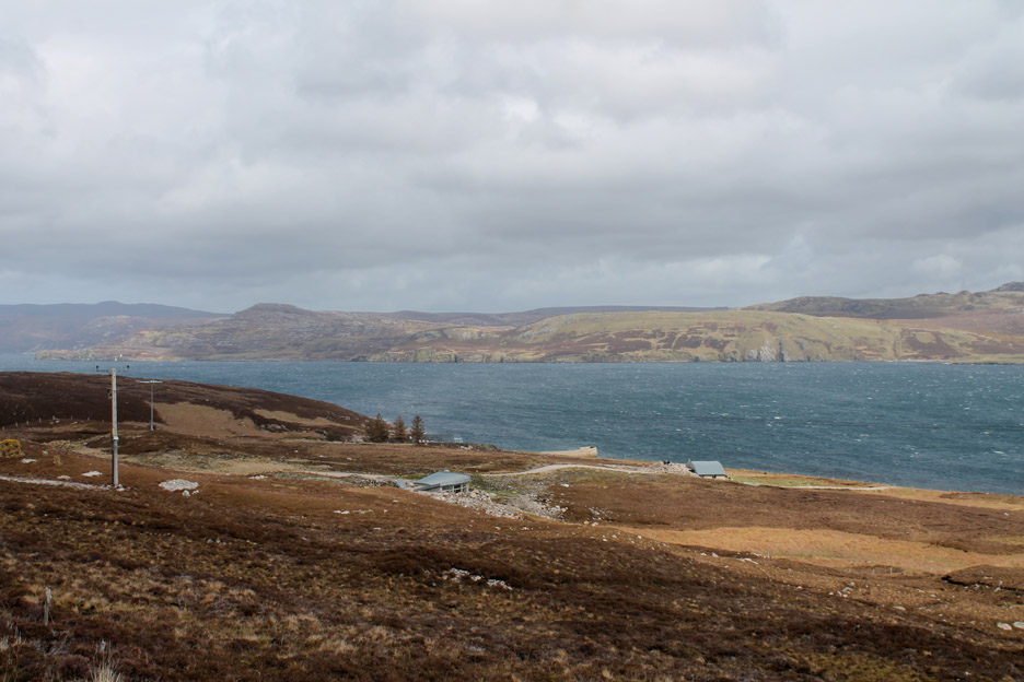
The main track and a small stream lead down to the old Portnacon Harbour. This was a busy little jetty in its time and was regularly used in wartime to land service men so they could call in to the Post Office and Telegraph shop situated on the main road .
More local information on Durness.org website from where these pictures were kindly borrowed. Click here to read a Telegraph book review of the wartime story.
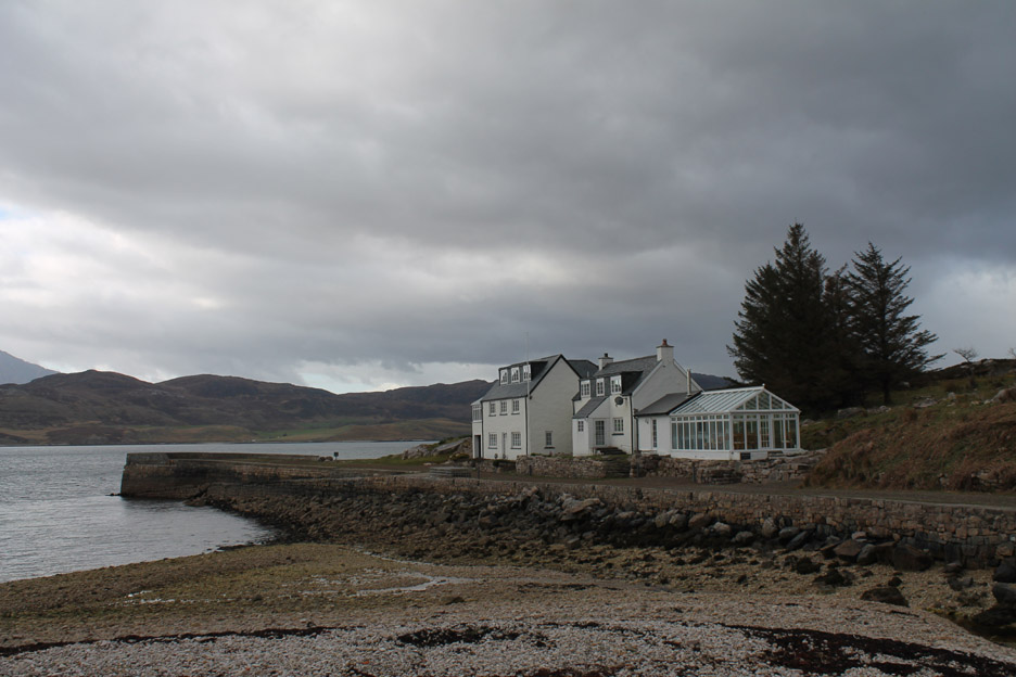
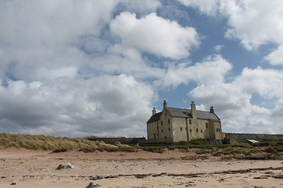
The old Harbour Master's Offices are now a rather nice looking holiday cottage but there is no sign of life this week.
The jetty has suffered slightly over the passage of time but still protects the harbour from the prevailing south westerlies that can roar up the loch.
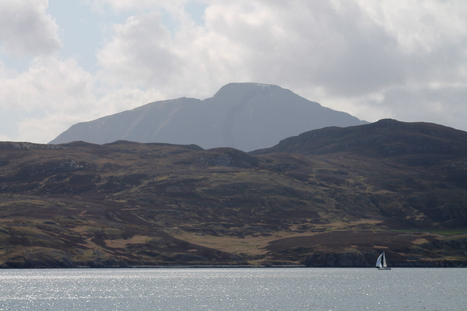
Today the winds are more gentle and a small sailing cruiser that motored in last night is able to sail out today with wind in its sails. - - - o o o - - - Time for a late morning walk . . . but then we might just hang on a few minutes . . .
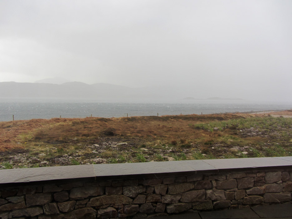
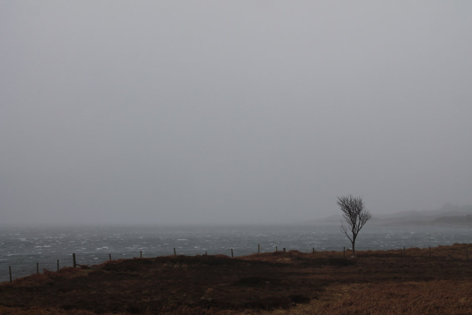
Another of those rain squalls roars up the loch past our picture window.
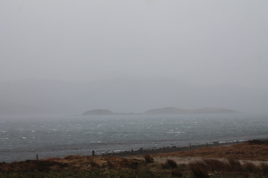
The islands are lost in the rain and spray.
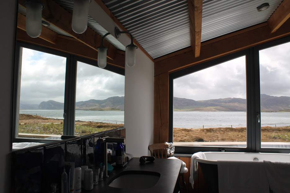
Rather nice this draught-free, nicely warm, under floor-heated glass cave.
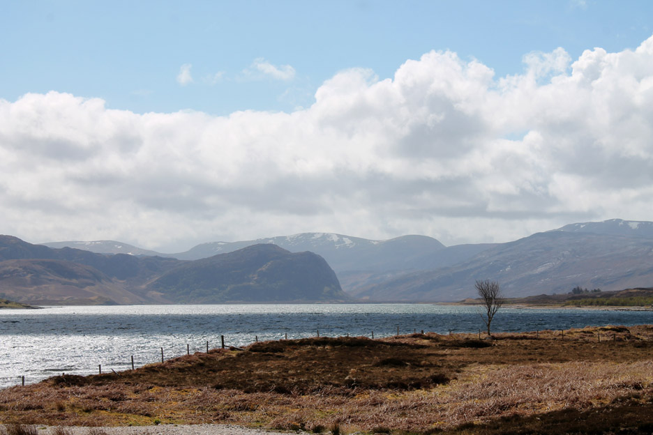
Less than an hour later, another view of the same tree but the storm has gone, the clouds are high, an early lunch happily eaten and the washing up done. - - - o o o - - -
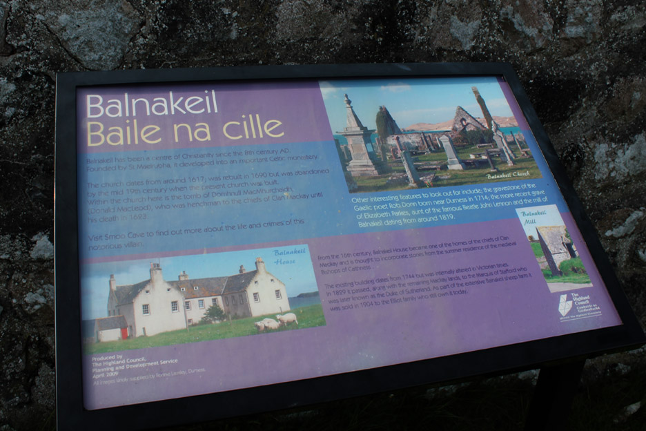
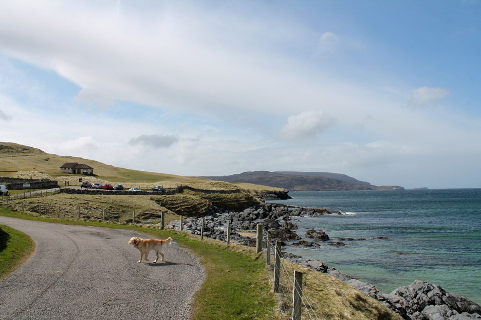
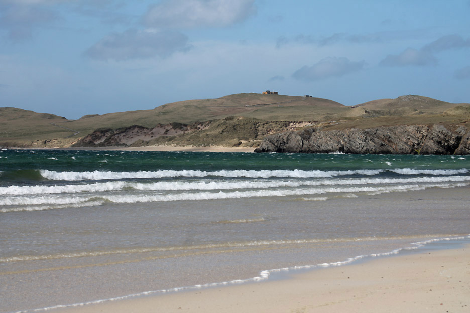
We take the opportunity to explore a well known local walk starting at Balnakeil close to Durness.
We park at the end of the road adjacent to Balnakeil House and walk out onto the headland.
Looking north west at the last building on the coast, the Golf Club. Dogs were not appreciated on the course and there was no coastal path so we doubled back to the car.
The thought was to walk the sandy beach towards Am Fharaid Head.
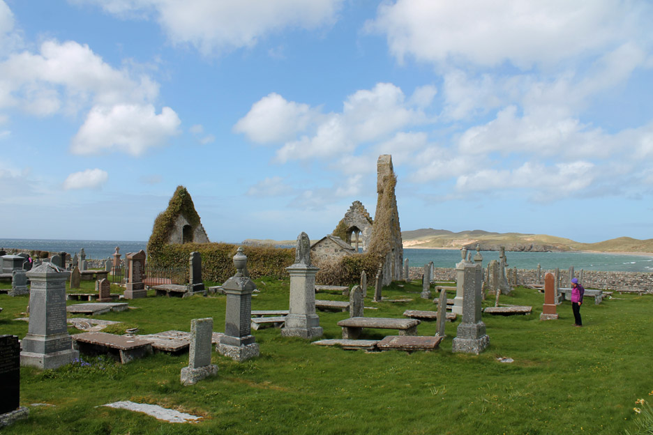
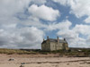
A slight diversion allowed us to walk through the graveyard and ruins of the old church. There has been a centre of Christianity here since the 8th Century but this building dates from 1617, re-built in 1690. It had fallen into disrepair by the mid 19th Century so a new church was built elsewhere.
Balnakeil House was one of the homes of the chief of the clam Mackay. The existing house dates from 1744 but has been subsequently modified several times during its life.
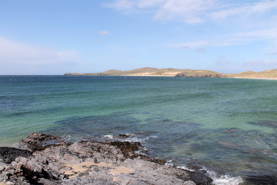
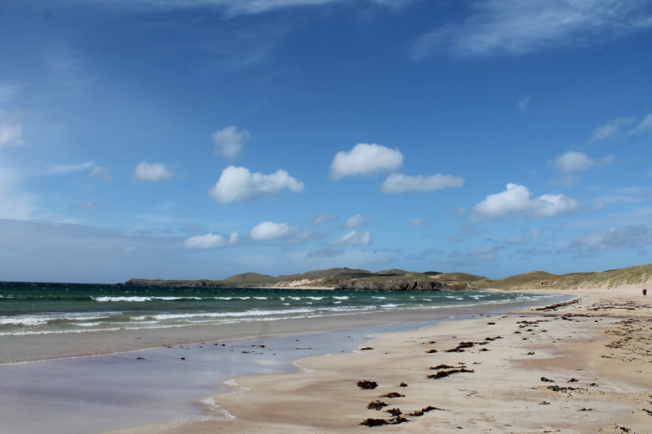
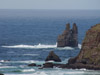
Walking out along Balnakeil Bay .
It looks idyllic but the strong breeze was sand-blasting the beach across our faces and in the dogs fur so we cut our walk short and retreated to the Craft Village.
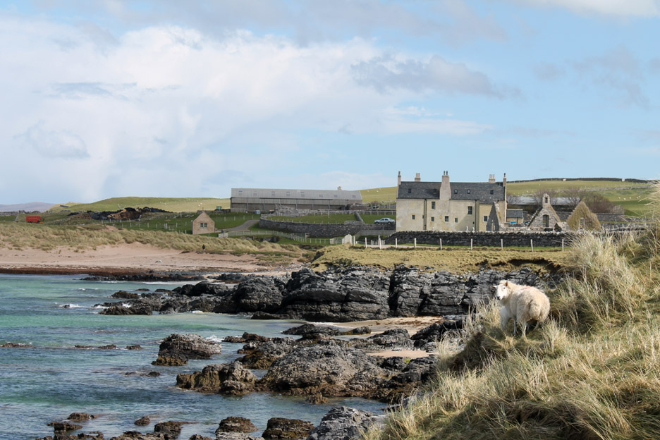
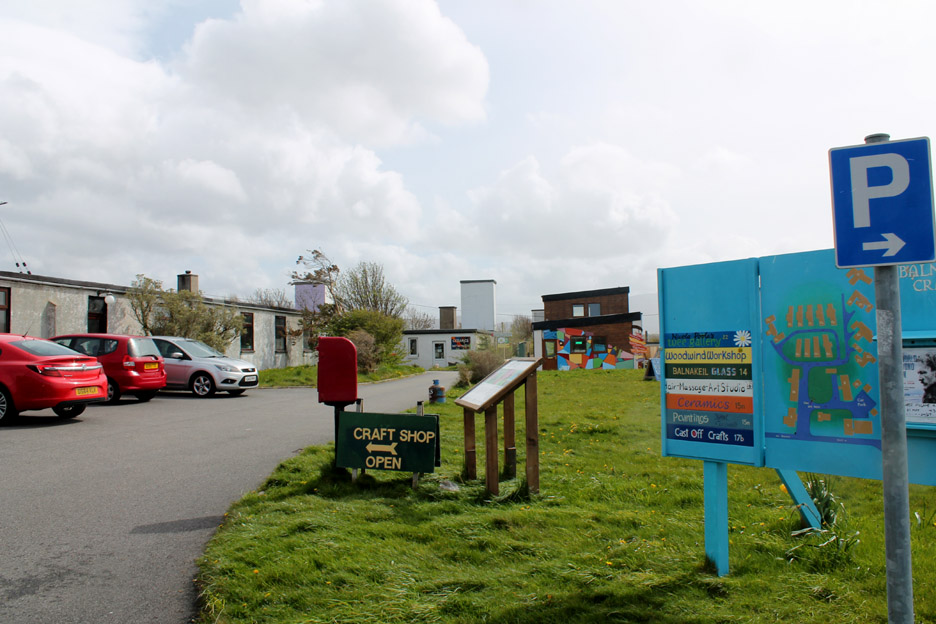
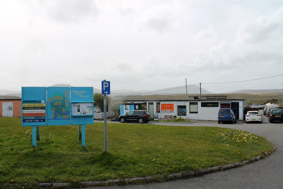
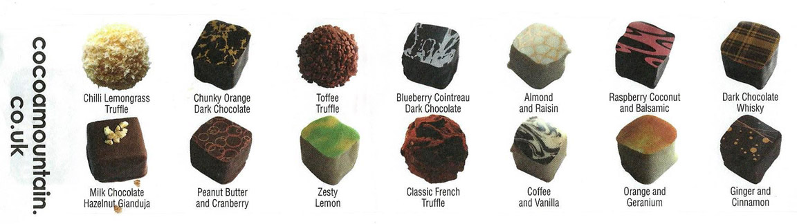
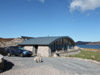
An old wartime RAF Camp has been re-developed into a small craft village and centre of industry. There were several nice craft shops but the most famous one was the shop at Cocoa Mountain.
An ordinary looking building has inside a cafe and chocolate shop where you can buy hand made chocolates, the flavours of which extend to another two pages. Just fourteen of the wide selection would fit on the scanner !
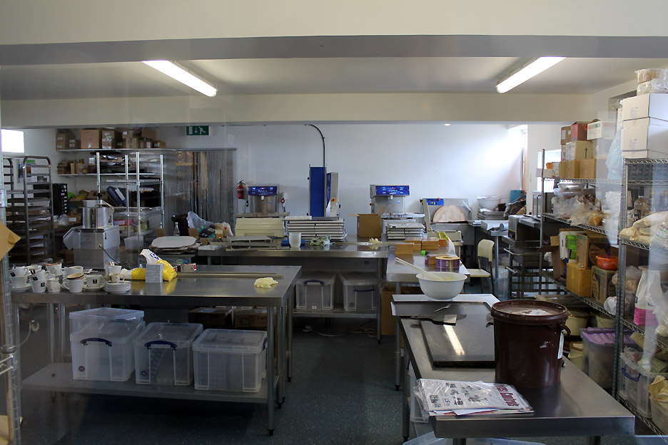
The kitchens and production centre for a worldwide trade in chocolates . . . from the Cocoa Mountain Company Probably the most geographically remote chocolate producer in Europe. - - - o o o - - -
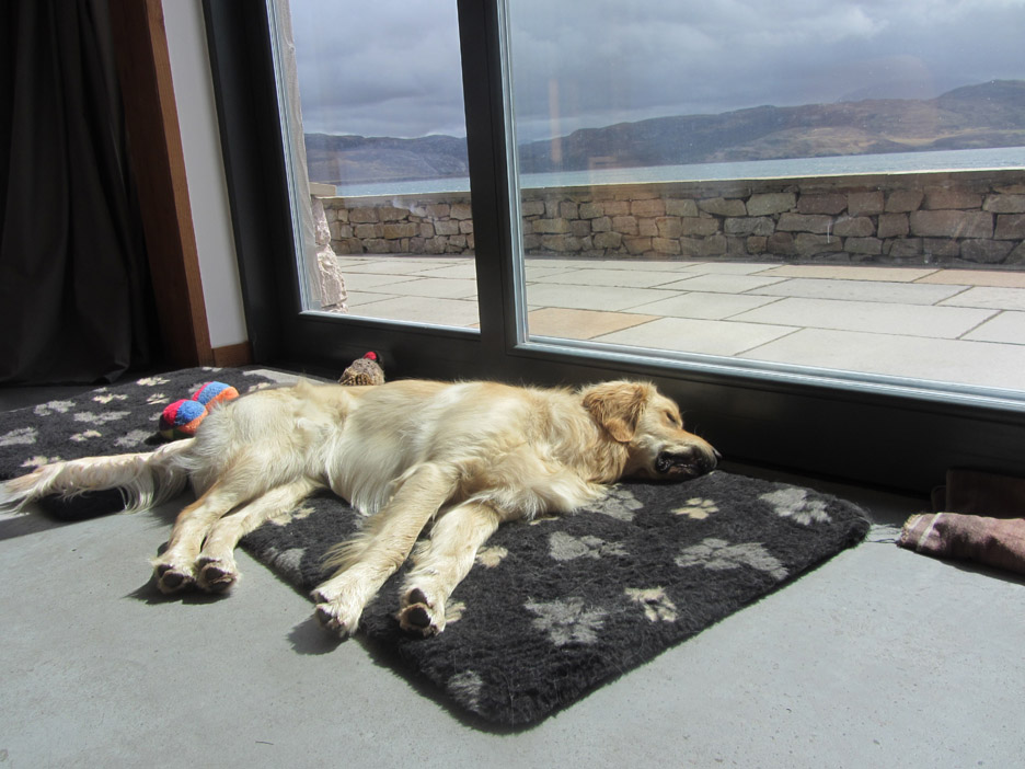
Next morning the sun is shining again . . .
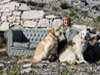
Perhaps we could suggest a walk ? Hold your cursor over the picture to wake him up !
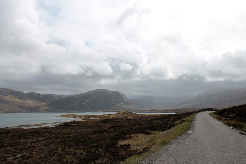
We take the car this time and head east over towards Tongue.
To reach the road on the other side two miles across the water will involve a nine mile drive to the head of the loch.
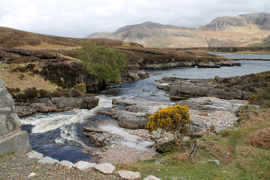
Allt An Lagain stream as it flows under the road bridge and heads out to the sea.
Looking back at the cottage from the opposite shore.
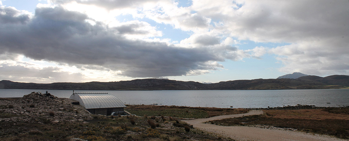
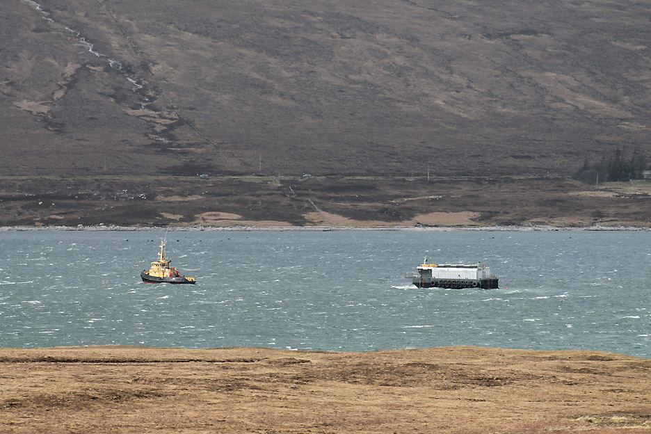
This tug boat and barge have been ever so slowly cruising up and down the loch for the last twelve hours or so. I presume it is to do with delivery and/or collection of fish for the local fish farms in Loch Eriboll, but we never did find out.
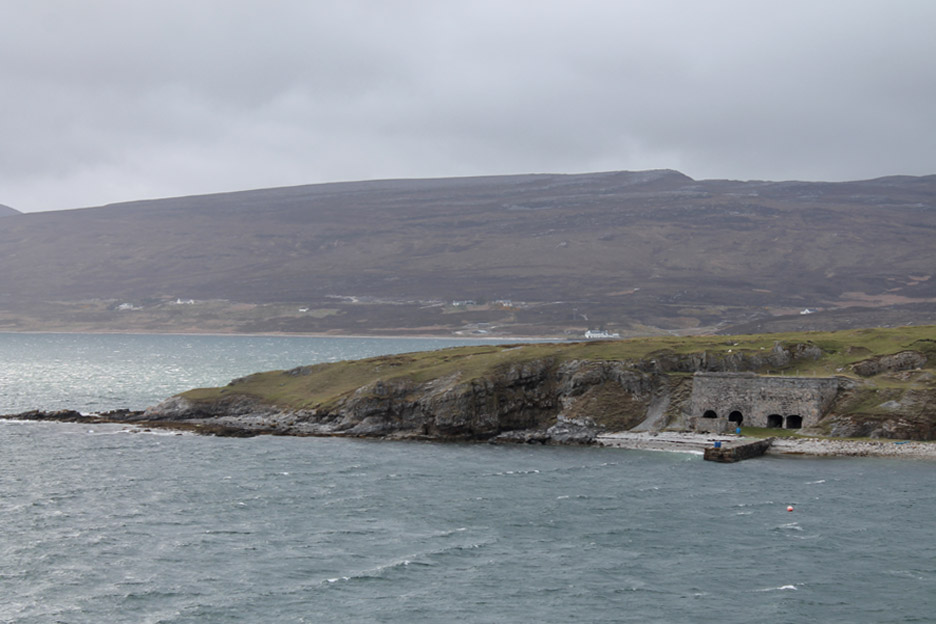
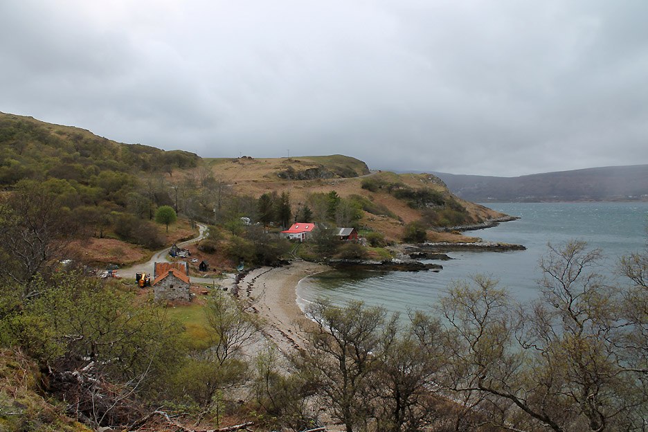
The white building on the far shore is the one at Portnacon Harbour The building in the foreground seems to be a lime kiln . . . a most unexpected sight in this granite landscape.
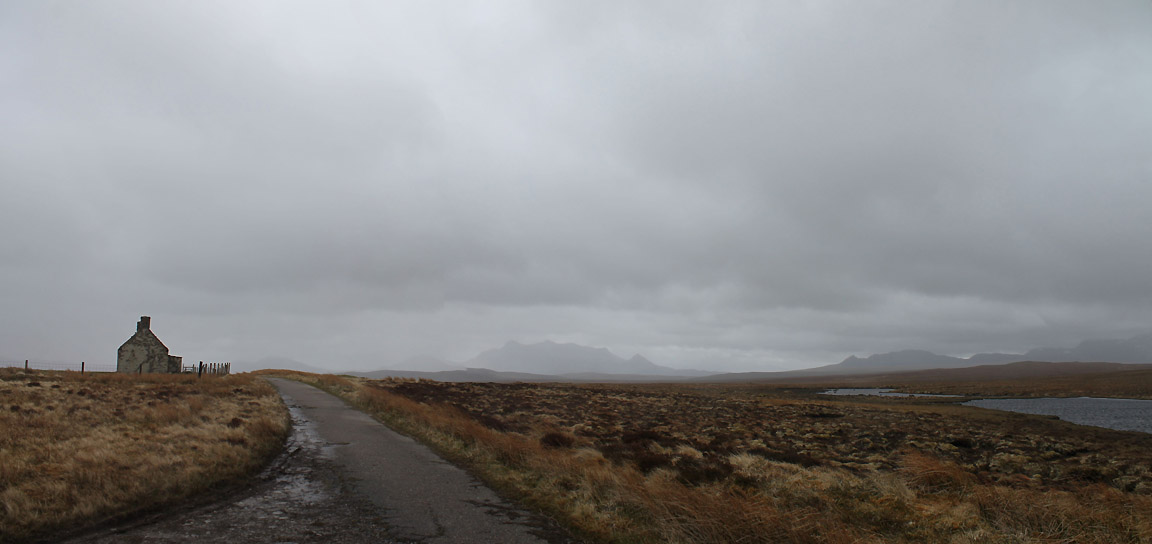
Up and over the eight mile wide peninsular of A Mahoine. This is the old abandoned Moine House that would have been a refuge along the road for travellers between Tongue and Durness. It seems a wild and lonely place out here in the Southerland Flow Country.
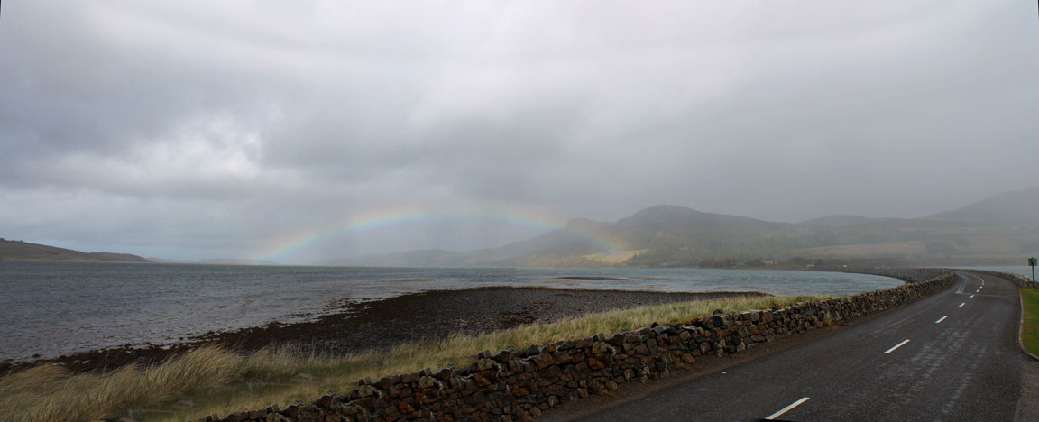
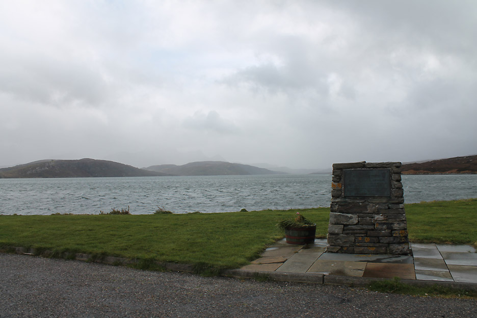
The river estuary of Kyle of Tongue has been crossed with a long causeway and short bridge in the 1970's. A passing rain shower offers us another fine rainbow.
The plaque gives detail of the road opening all those years back. In the background is the inland arm of the Kyle of Tongue.
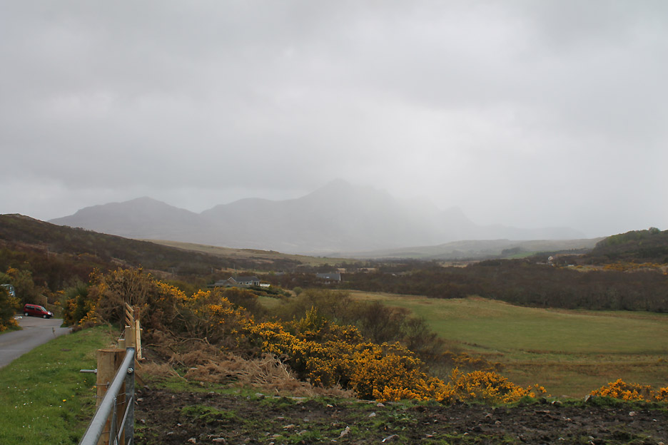
Seen in the photo of Moine House and here in close up, is Ben Loyal. Normally a very picturesque mountain on the north coast it is rather obscured by a change of the weather yet again. On the way back home we diverted out towards the top of the Port Vasgo peninsular.
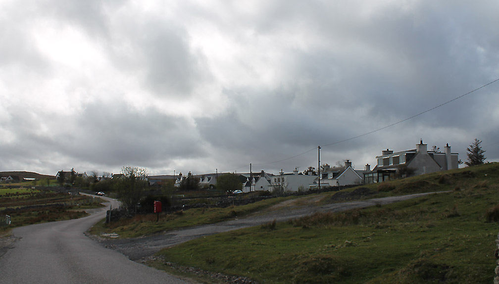
The old crofts of Midtown have been redeployed over the years into modern homes.
Behind us you can see the long causeway that we used to cross the loch.
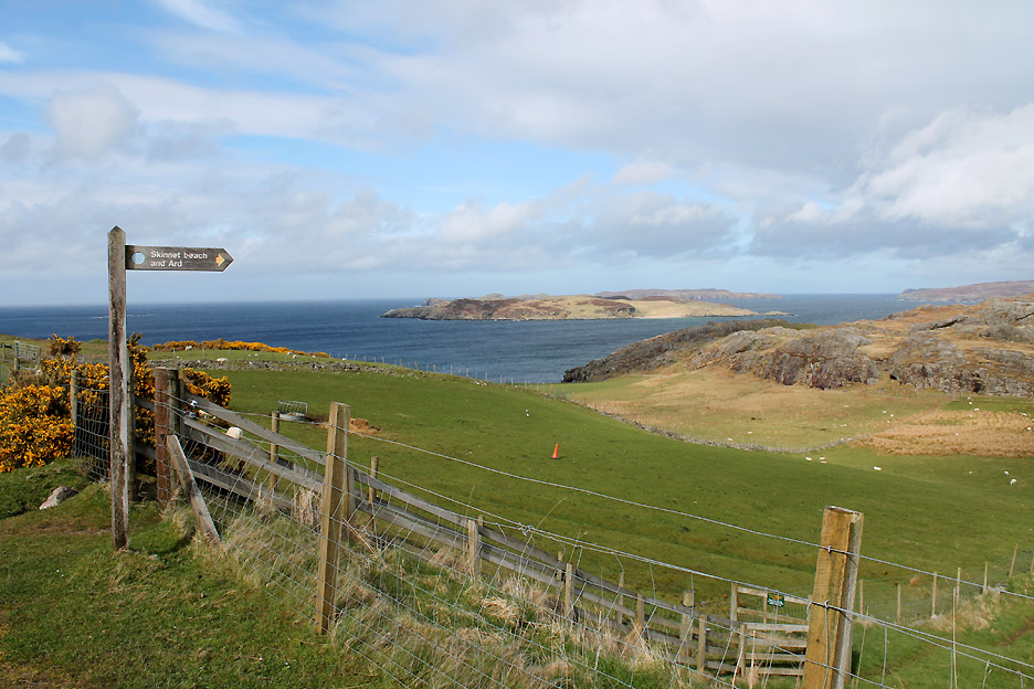
The footpath to Skinnet Beach and in the distance are the beautifully named Rabbit Islands.
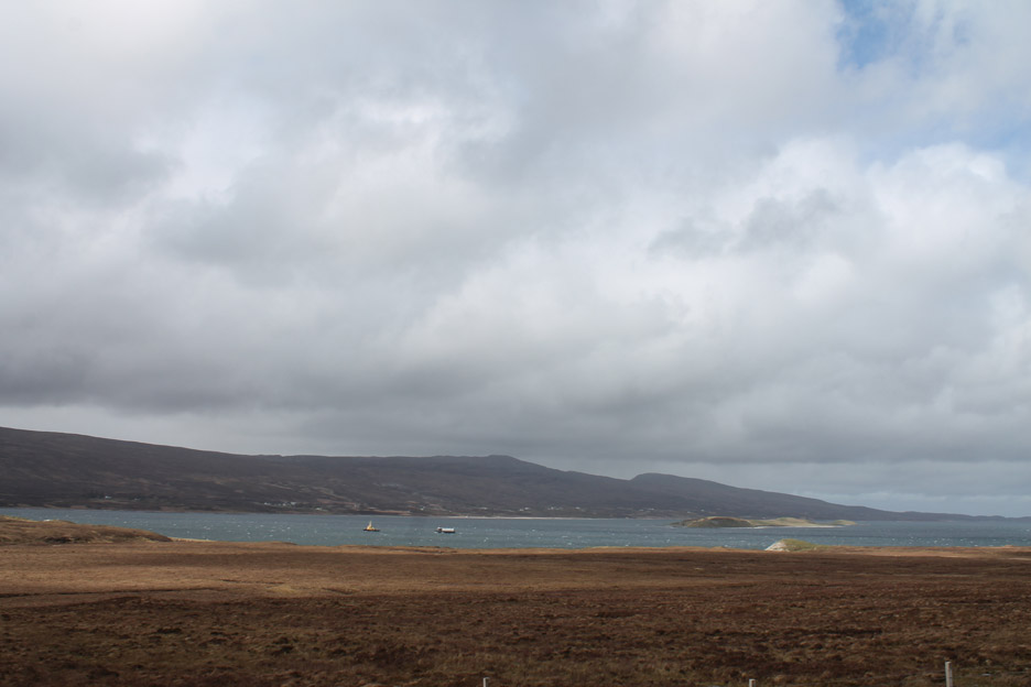
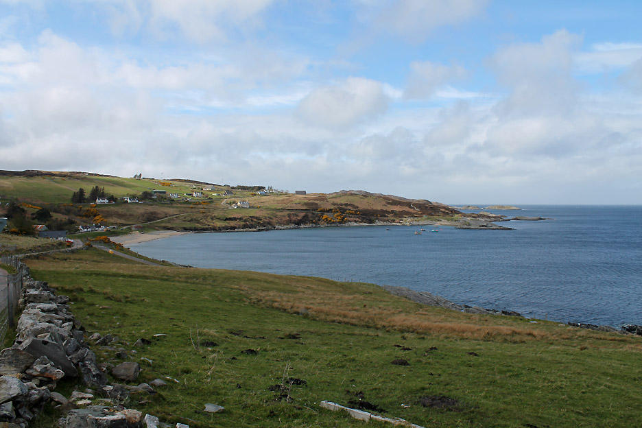
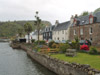
We turn for home but not before we round the small headland and see this lovely view of Talmine and its small harbour.
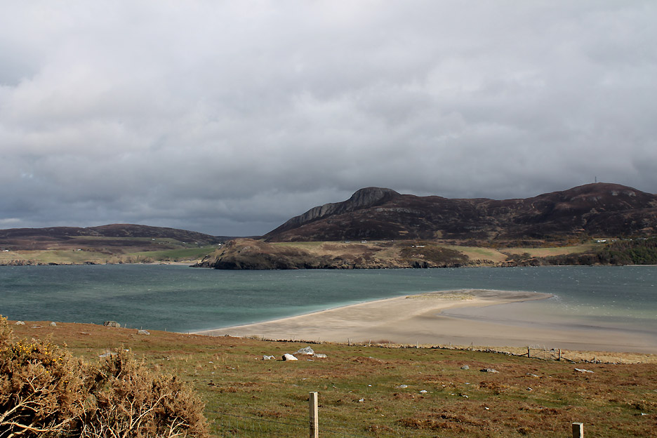
A sand bar in Tongue Bay with Ben Tongue behind.
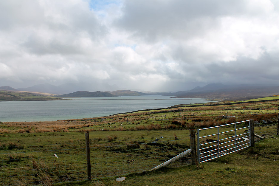
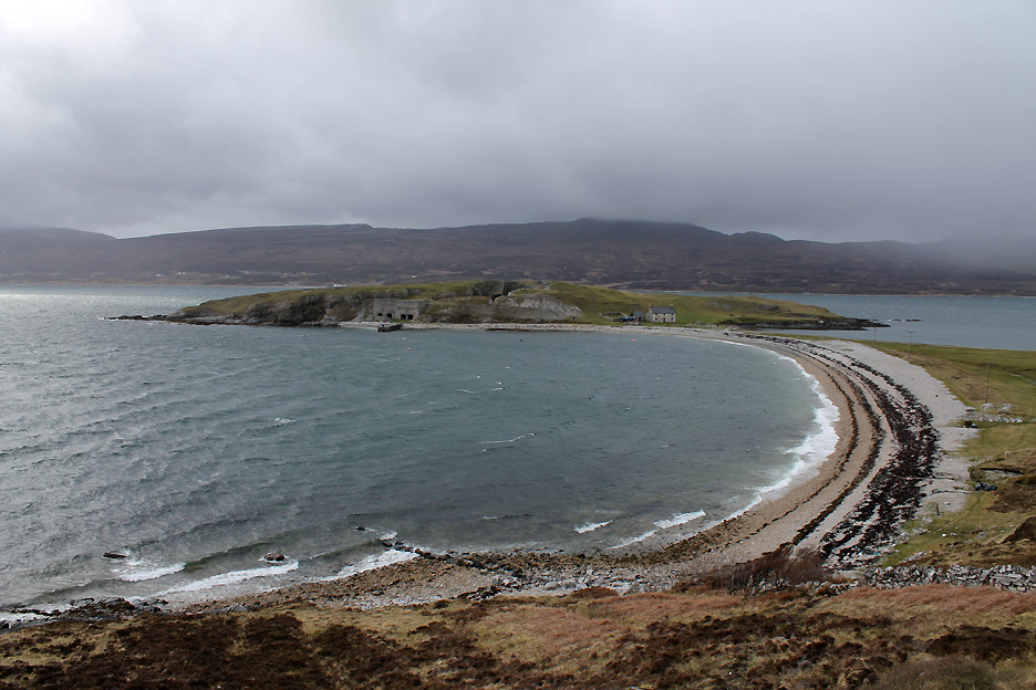
Back on the road alongside Eriboll and we look down on the Ard Neackie island we saw on the way out.
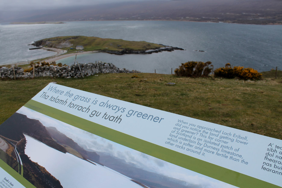
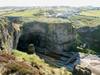
Those buildings were limekilns because here is a strata intrusion of limestone into the Southerland granite. Read all about it !
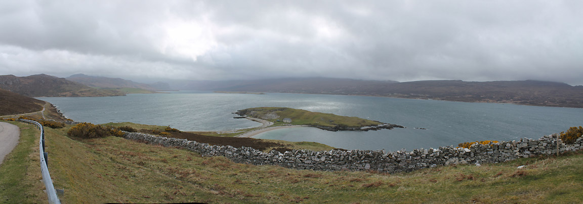
A tombolo island with a double curved beach between it and the mainland.
The hamlet of Kempie. The building now serve a small fish farm and we can see these red roofs from the opposite side of the loch.
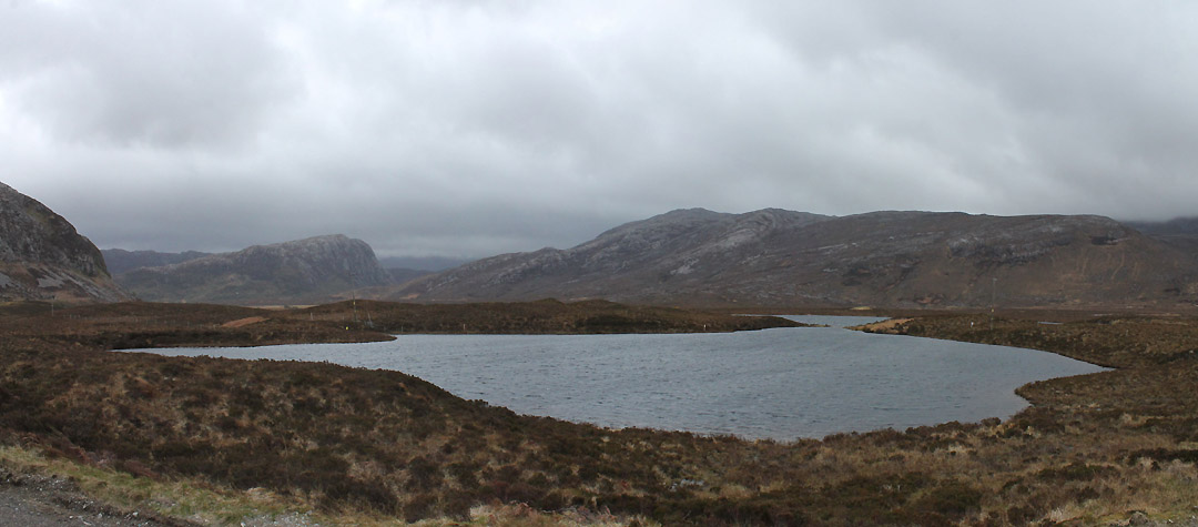
Finally the head of Loch Eriboll is classic flow country again. Glacial moraine, kettle holes and mini-lochans in the peat bog . . . . we stick to the tarmac and arrive home soon after.
|
- - - o o o - - - Technical note: Pictures taken with either Ann's Canon Sureshot SX220 or my Canon 1100D Digital SLR Camera. Resized in Photoshop, and built up on a Dreamweaver web builder. This site best viewed with . . . . better weather for long distance mountain views. Back to top - Go to next page
Email me here # © RmH # Go to Home page
|