![]()

|
|
|
|
" 1. Our Beadnell Holiday ~ Day 4 Berwick on Tweed ~ "
Date & Time: Wednesday 15th October 2014. Locations : The Northumberland Coast north of Alnwick. Places visited : Berwick on Tweed. Accommodation : Accommodation at the Beach Court Beadnell, Northumbria. With : Ann and myself and our dogs, Harry and Dylan. Weather : A reasonable day with overcast high cloud, windy but still cool. Beach Court Bed and Breakfast, Beadnell, (thanks to Carole and Russell Field) |
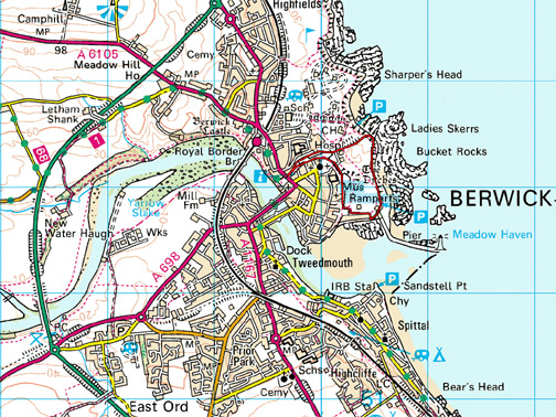
Click here or on the map for bigger version. (Walk shown in red) © Crown copyright. All rights reserved. License number PU 100034184. |
|
When we have visited the North East before we have often read about the border town of Berwick on Tweed. In recent times the politics around the Scottish Referendum mentioned that the town had changed hands between the Scots and the English on numerous occasions . . . it was time to give the area a visit.
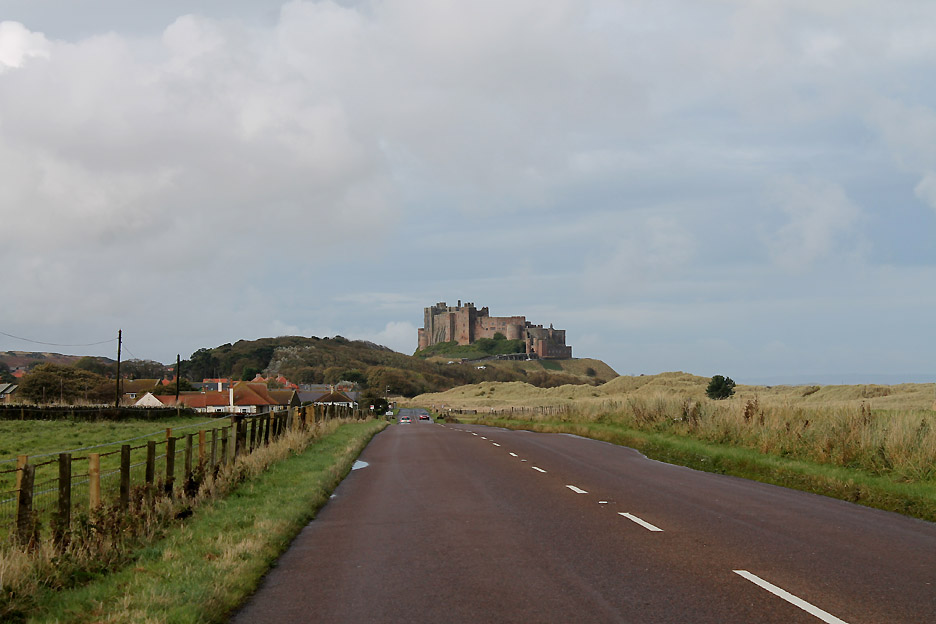
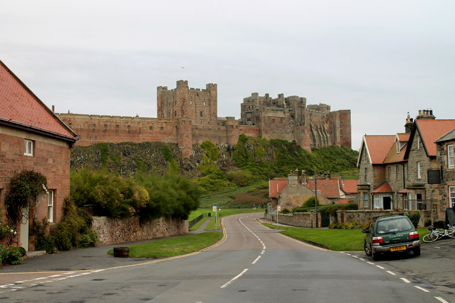
We travelled north today for a change, past the magnificent stronghold of Bamburgh Castle and up the A1 road for about twenty miles, until we turned for Berwick on Tweed . . . following instructions in our little 40 Northumberland Walks guidebook.
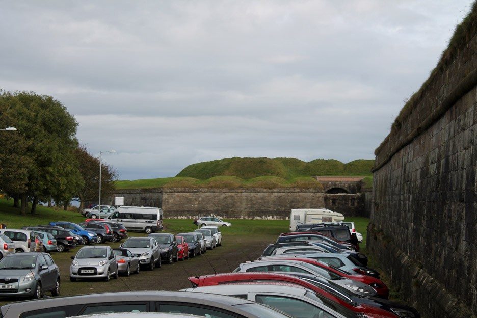
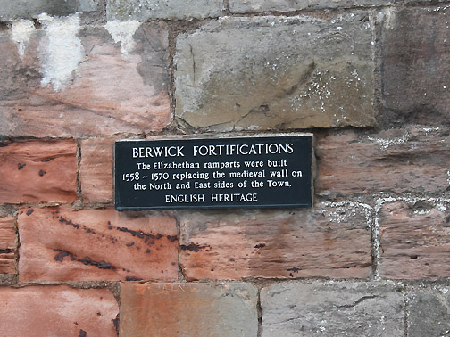
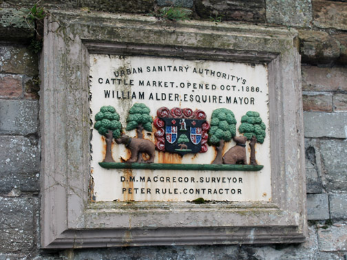
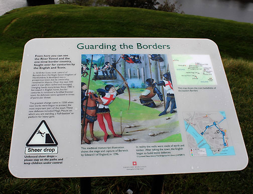
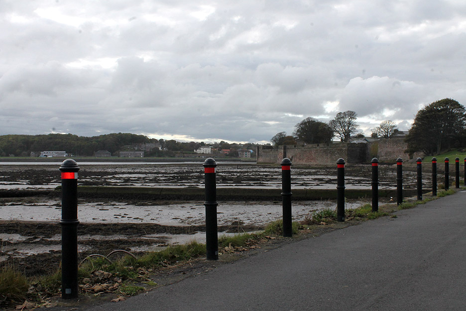
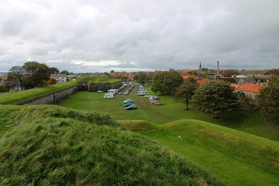
The town of Berwick was built on the high ground to the north of the river which would normally be the natural boundary between Scotland and England. In order to protect the town from capture by the Scots, great ramparts were built to the north and east of the town by the Tudor Monarchs Mary 1st and Elizabeth 1st, huge walls which replaced earlier less substantial, medieval structures. The car park we arrived at has been created on the old open area to the north of the ramparts.
We climbed the steps up onto the ramparts and made our way a short distance across to Meg's Mount at the west end of the walls.
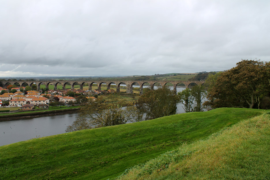
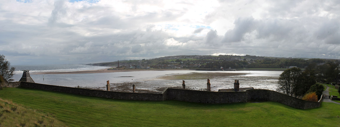
The view up river from Meg's Mount now includes the main east coast rail line which passes over the Royal Border Bridge built by Robert Stevenson.
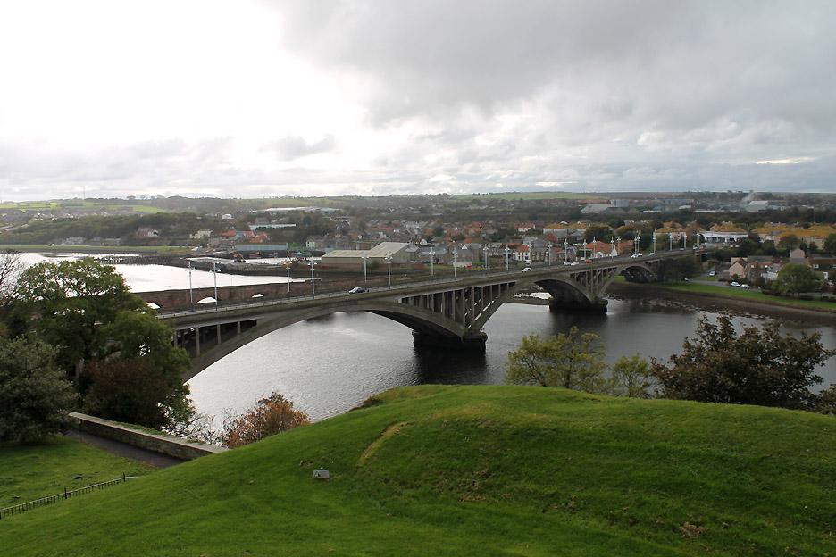
Opposite are the old and new road bridges spanning the River Tweed.
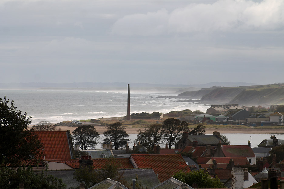
Looking south down the coast over Tweedmouth and a tall chimney on Sandstell Point.
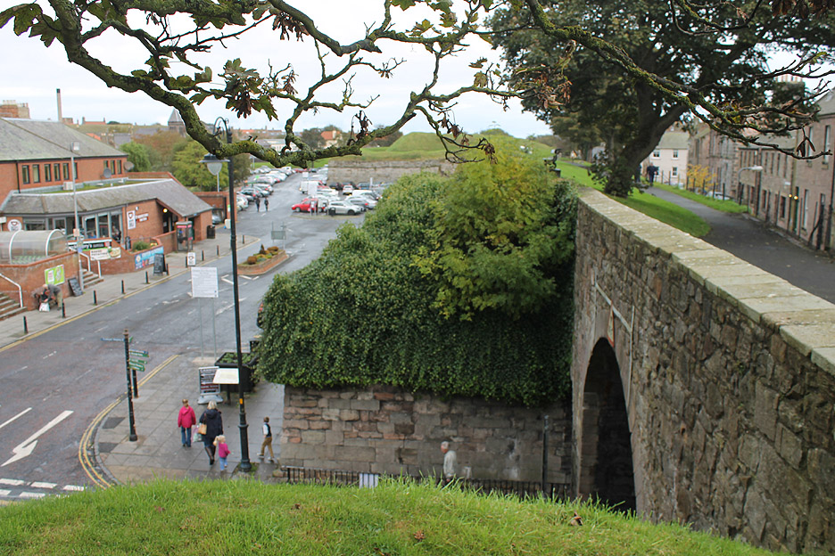
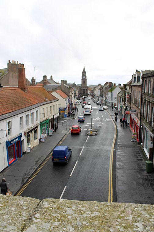
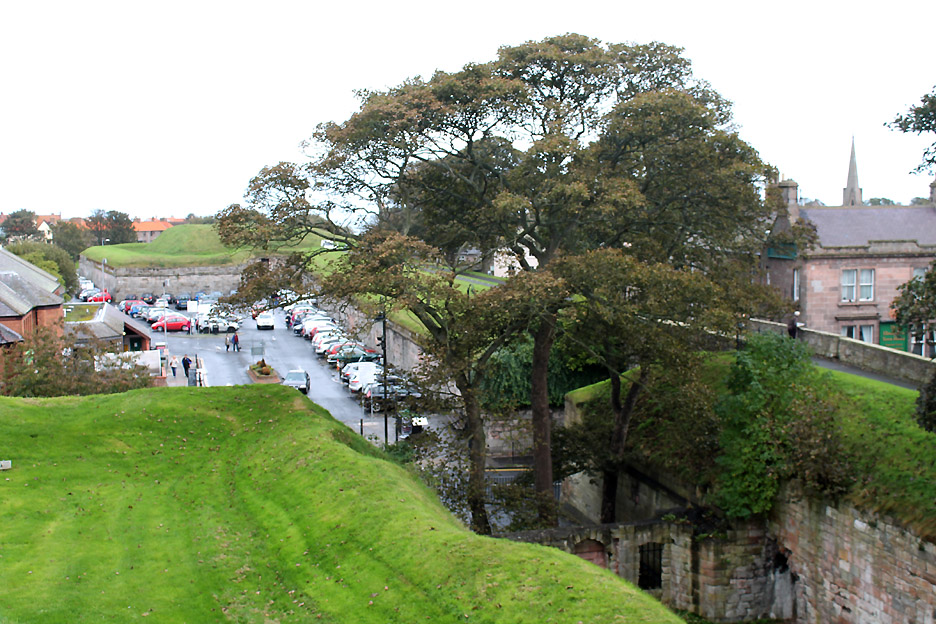
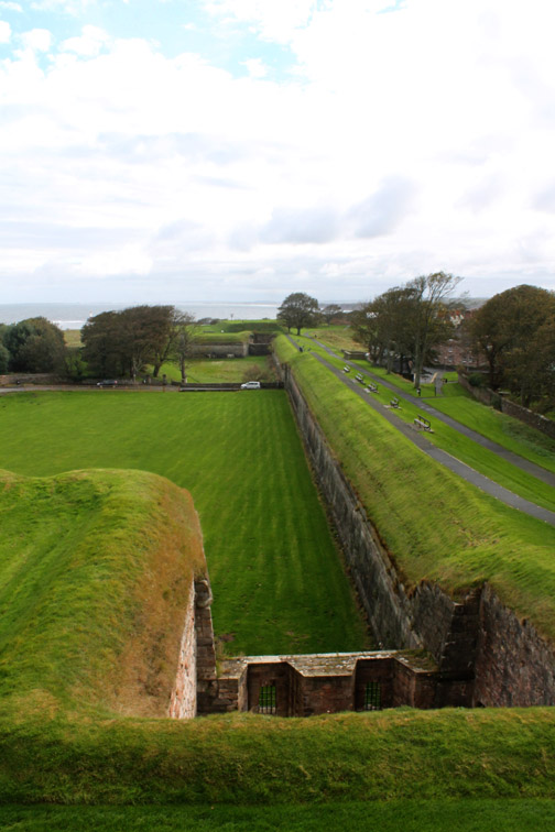
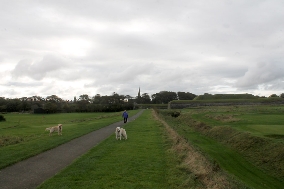
Time to continue our walk along the top of the ramparts . . . we retrace our steps and head east high above the cars parked below.
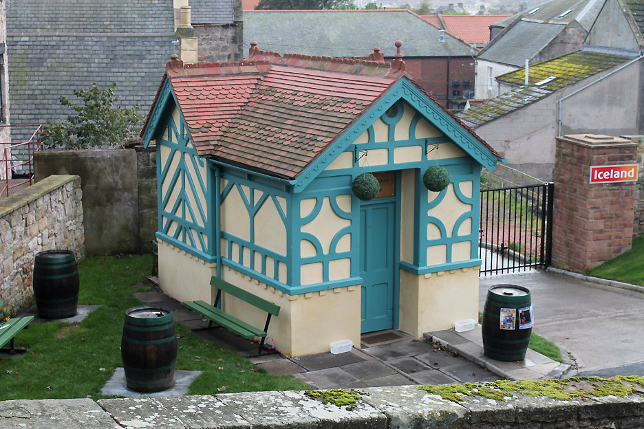
A well maintained miniature house apparently offers ice cream and refreshments in season.
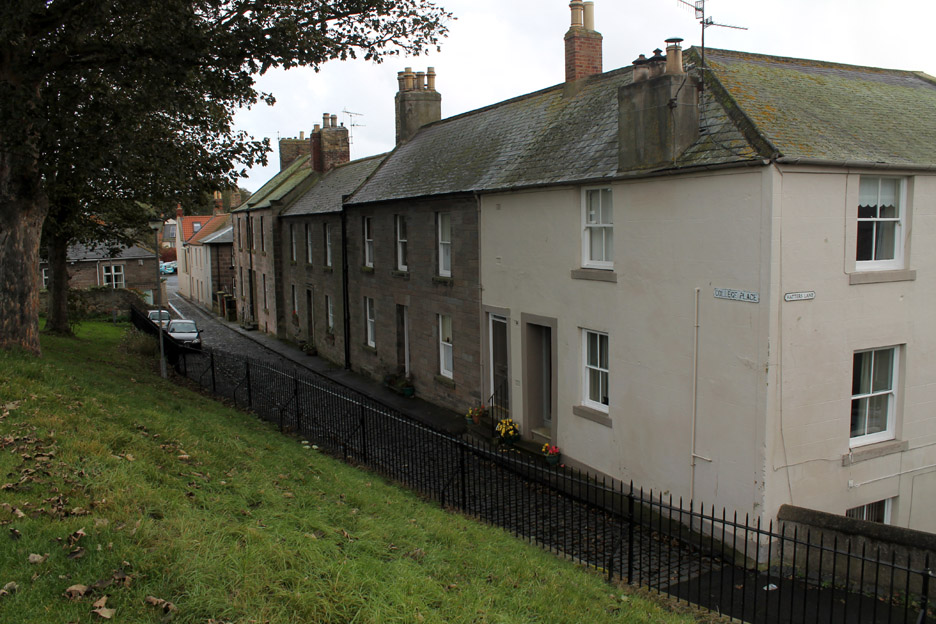
Classic names . . . The house corners College Place and Hatters Lane.
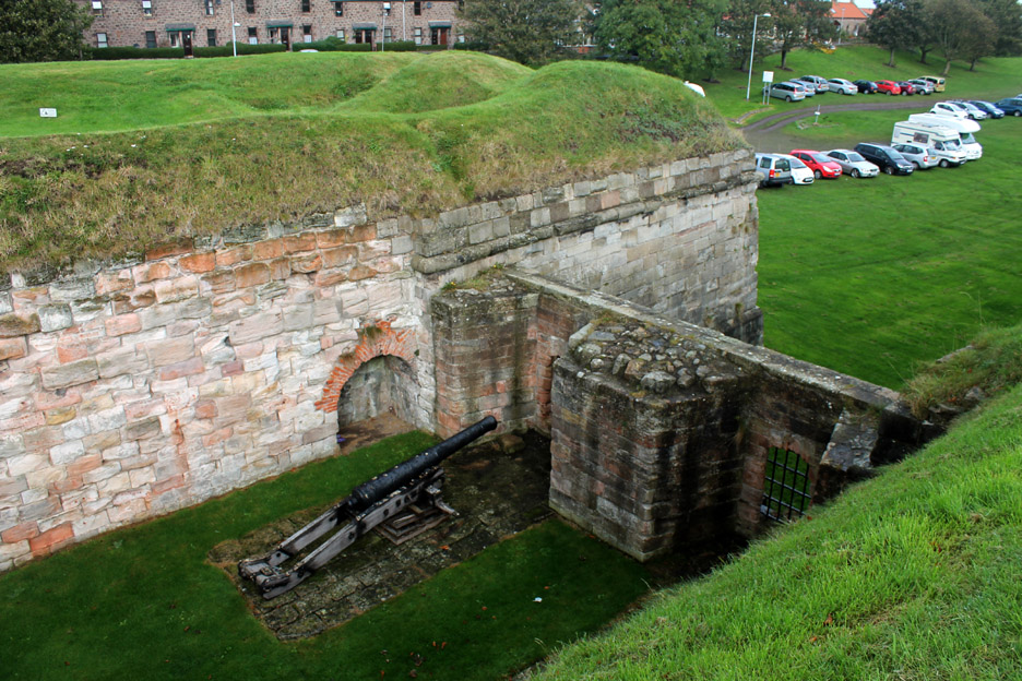
From the top of the ramparts we look down on one of the old guns.
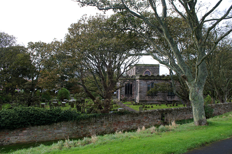
Holy Trinity & St Mary's Church. Built in 1650 and set within the historic Elizabethan walls. The only church to have been built in such a distinctive style during the time of Oliver Cromwell.
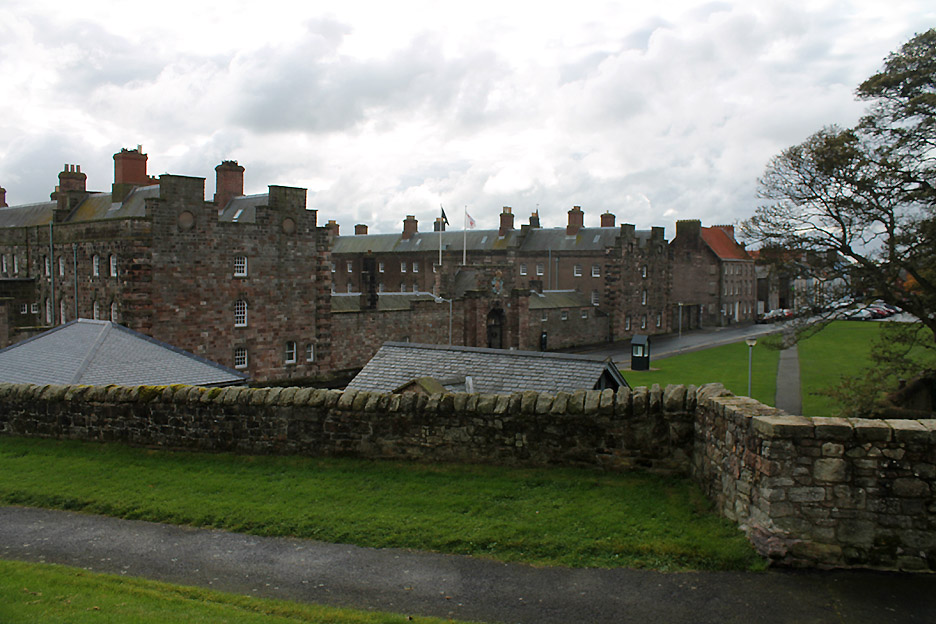
The Berwick-upon-Tweed Barracks Built in 1717 and home to the King's Own Scottish Border Regiment from 1882 to 1964, it now houses several regimental museums.
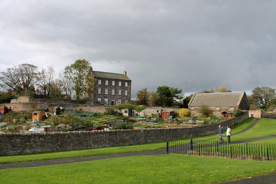
The artist L. S. Lowry regarded Berwick as his favourite holiday resort which he often visited between the 1930's until he died in 1976. Many of his famous paintings are based on scenes from the town. He even though of buying this house but it was apparently too large and too run down at the time . There's a Lowry Trail if you want to visit and learn more.
But we digress . . . on with the walk.
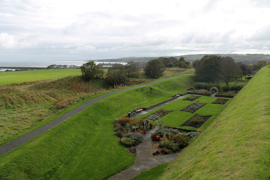
Below the ramparts at this point are some formal gardens but to reach them it's a long walk round . . . that drop is too steep and too slippery !
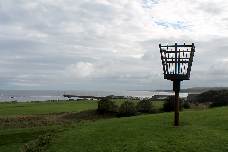
A modern beacon stand high on the next old gun mount.
The southern end of the Ramparts at King's Mount . . . where we met the river again. Below are the old town defence walls that these larger structures replaced.
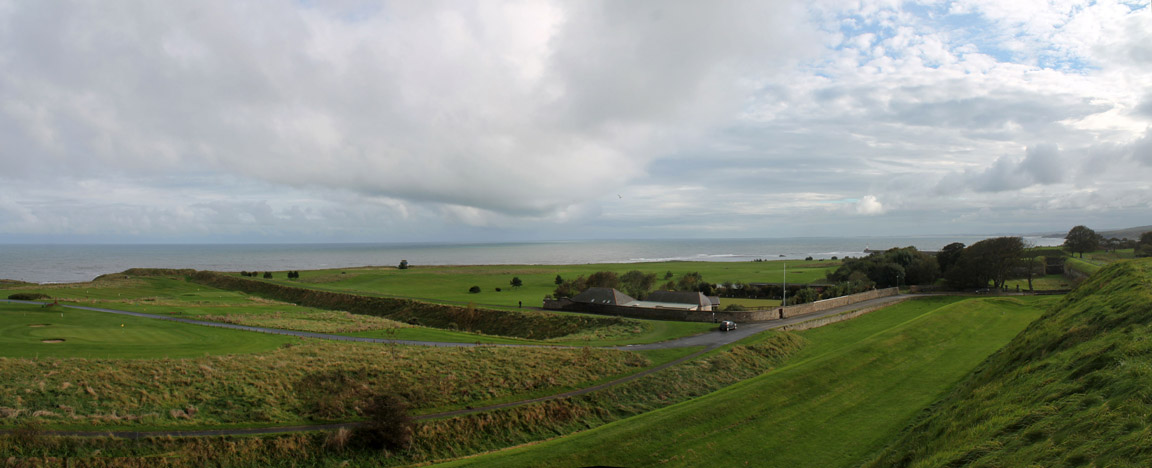
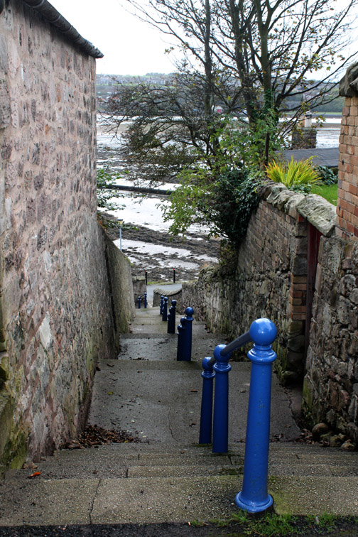
From the end of the Ramparts we cut down the steps to the riverside and turned left to walk back to the car via the coastal path around the golf course.
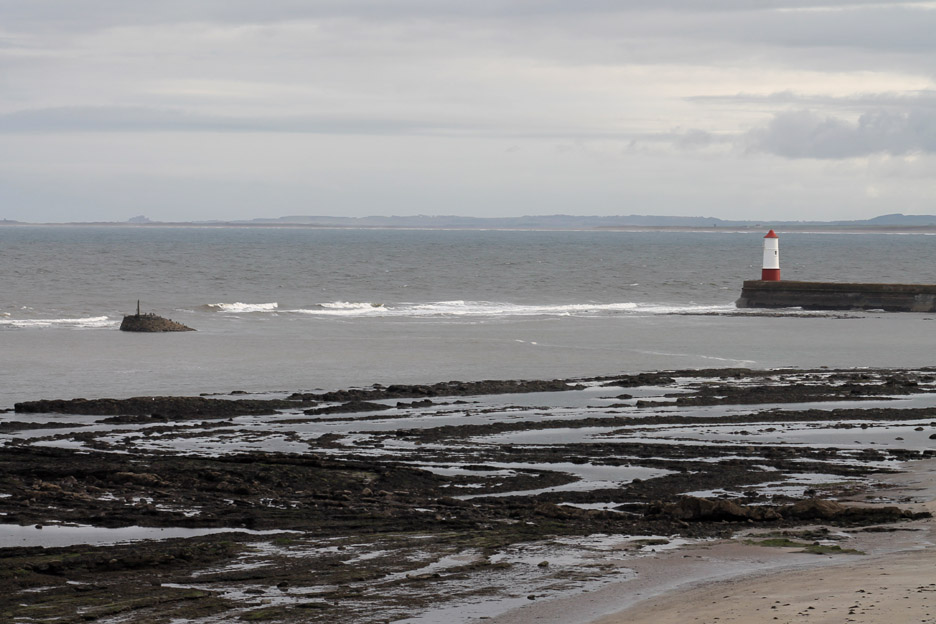
The harbour mouth and lighthouse. In the distance the ancient castle of Lindisfarne can just be seen through the haze.
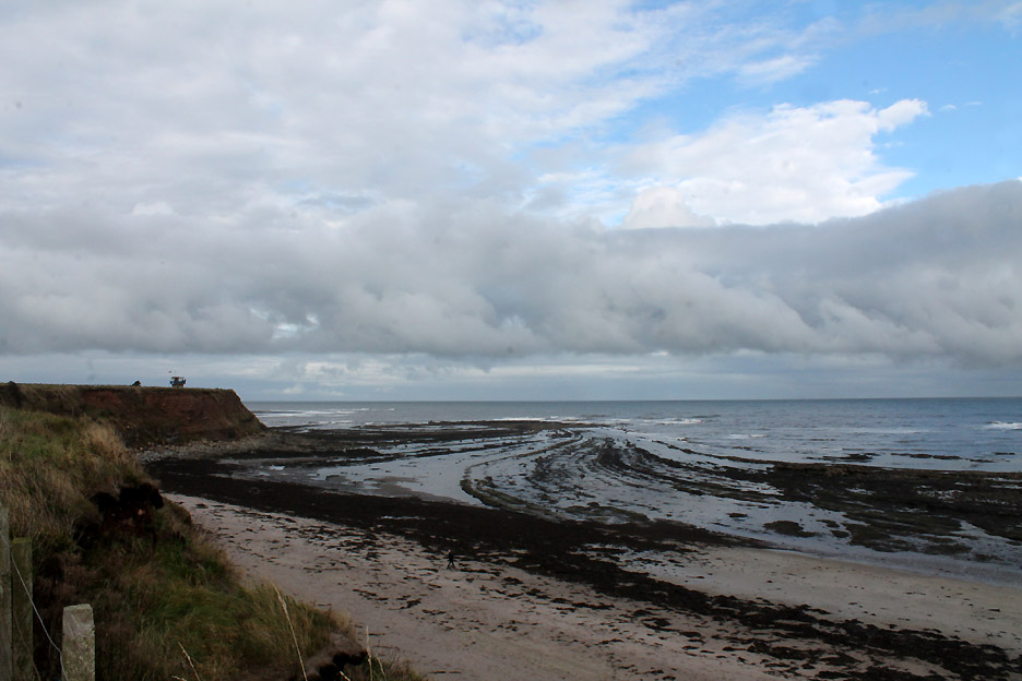
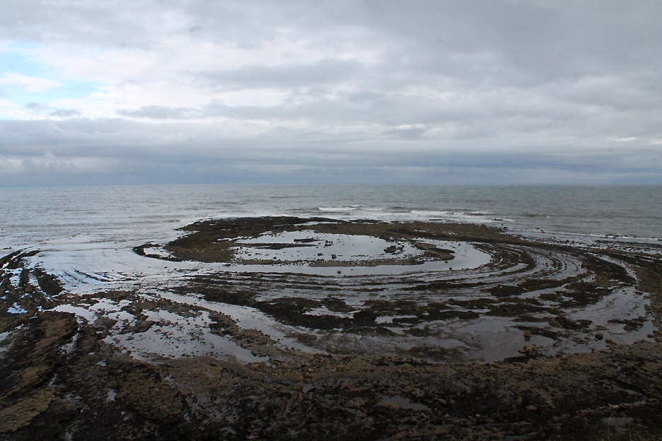
The rocks below us have lovely curved strata which show up well at low tide.
This was apparently the central core of a volcano, ground flat by the action of the sea.
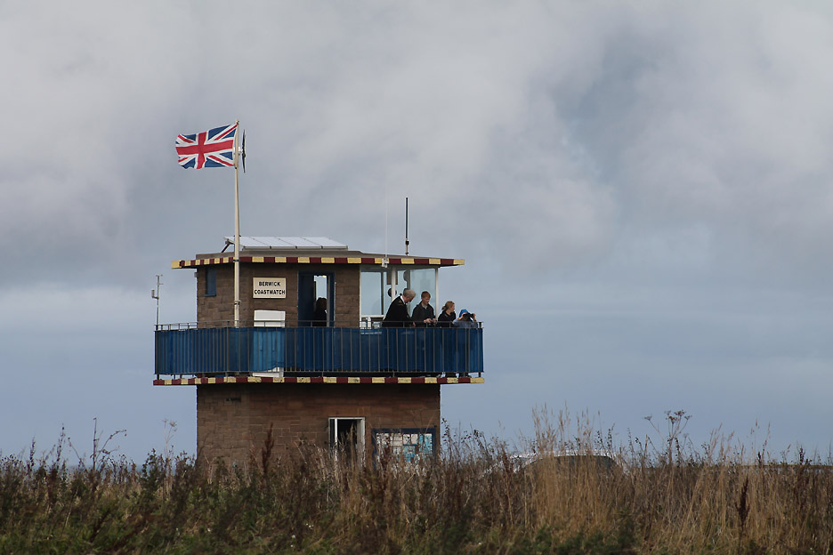
On the headland, the old Coastguard Tower is now manned by volunteers of the Berwick Coastwatch Service.
Their information board highlights the landmarks that can be seen on a fine day.
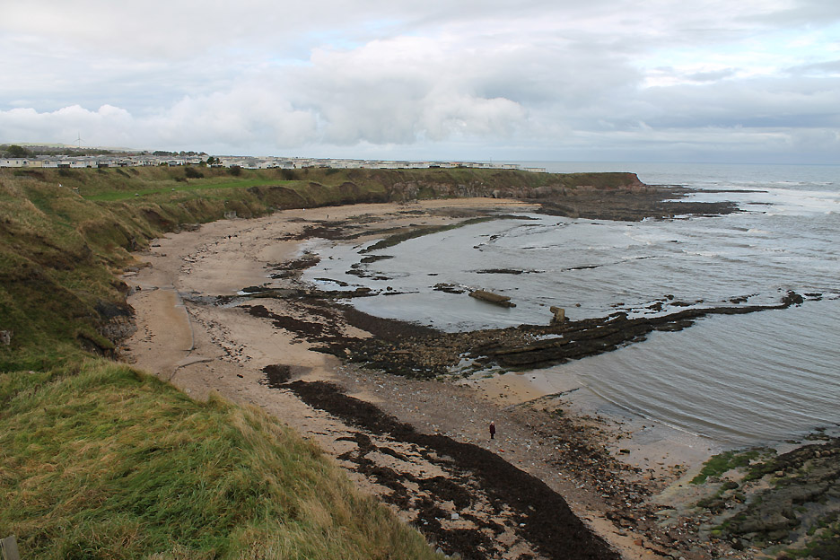
An old sea bathing pool used to attract visitors to the haven. The remnants of the old sea walls that held the water back can be seen in the centre of the bay.
The final section took us across the golf course road, back towards the Ramparts.
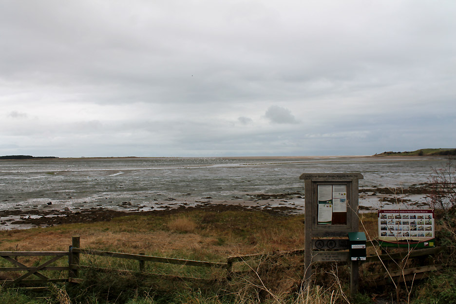
Retracing our steps back over Cumberland Bastion brought us back to the car ready for our trip back south. [ A big thank you to the Berwick Town Council for the free all-day parking on offer to tourists and to local shoppers.] [ Cumbria County Council take note ! ] - - - o o o - - - Influenced no doubt by that nice Mr Dimmock yesterday we paused on the way back at the Lindisfarne Nature Reserve sign.
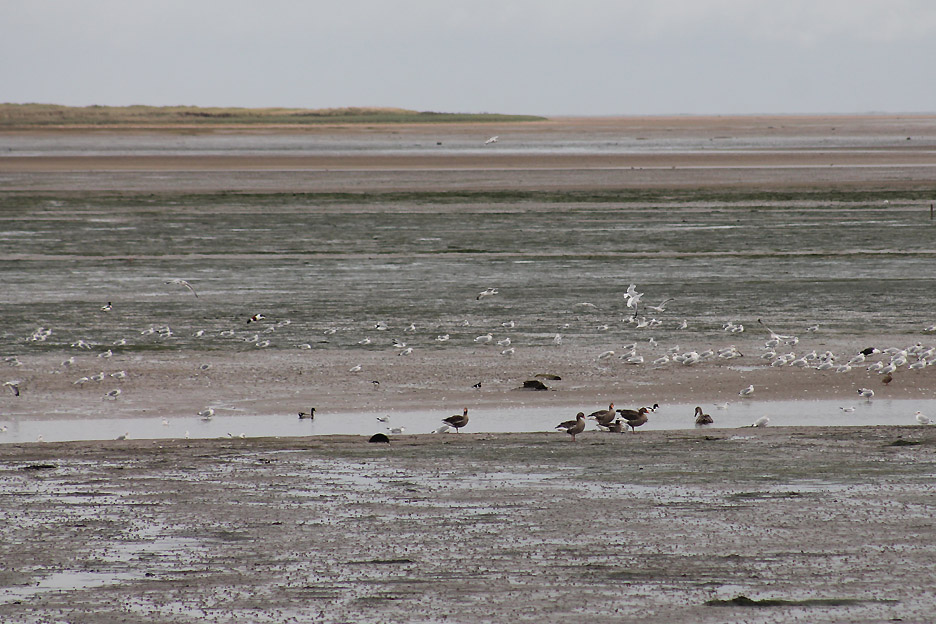
The tide was out here in Budle Bay so the seabirds were quite a long way away, but it was interesting nevertheless.
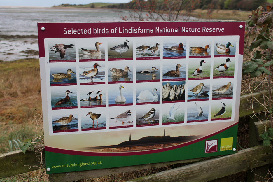
Time to brush up on the observation skills.
Picture 2 on the signboard . . . The Greylag Goose . . . will any Graylag Geese out there please stand up and identify yourself ! [ Hold your cursor over the picture to see if they do.]
A little too far away to identify much today but . . . hold your cursor over the picture . . . to see the Shell duck (pic 14) female Eida duck (pic 12) young Swan and various lesser and greater black backed Seagulls.
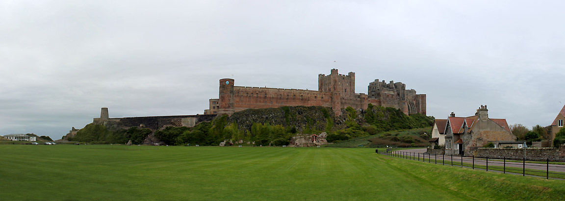
Journeying back past the impressive Bamburgh Castle . . . so impressive I stop for a photo in the village.
A short walk found me by the playing fields at the foot of the castle with the opportunity for a wider panorama.
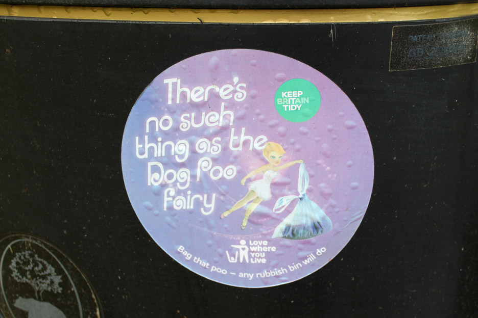
My eye was caught by an interesting poster on the local litter bin.
Time to leave Bamburgh and continue our journey the last few miles back to our accommodation at Beadnell.
|
- - - o o o - - - Technical note: Pictures taken with either Ann's Canon Sureshot SX220 or my Canon 1100D Digital SLR Camera. Resized in Photoshop, and built up on a Dreamweaver web builder. This site best viewed with . . . . a new experience under the belt. Email me here # © RmH # Go to Home page Previous walk - 15th October 2014 Beadnell 3 - Druridge Bay A previous time here - 24th to 29th September 2006 Beadnell and the Northumbrian Coast
|