![]()

Remember: Press F11 for a full
screen view of this page.
|
|
|
Remember: Press F11 for a full
screen view of this page. |
|
" Ling and Lan ... thwaite Hill " Date & start time: 29th and 30th December 2013. Location of Start 1 : Roadside above Wythop Village, Cumbria, Uk ( NY 183 290 ) Places visited : Ling Fell via Burthwaite. Walk details : 1.9 mls, 650 ft of ascent, 1.5 hours approx.including a summit wander. Location of Start 2 : The NT car park, Scale Hill, Loweswater, Uk ( NY 149 215 ) Places visited : Lanthwaite Hill, the Boathouse and Lanthwaite Woods Walk details : 1.85 mls, 450 ft of ascent, 1 hour approx. Weather : Nice day for her, grotty the next day for him. Harry enjoyed both days !
|
" Ling and Lan ... thwaite Hill " at EveryTrail [ Alter the settings to zoom or change the Map, use Everytrail to download the Gps route ] |
|
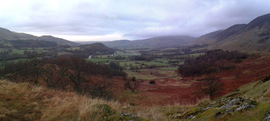
Yin and Yang . . . black and white . . . chalk and cheese . . . closely tied together. The weather seems to be doing the same thing here. One day it is fine, the next day belting with rain. We'd feel a little browned off but the rest of the country is suffering in just the same way, so sit back and enjoy the contrasting photos! First the long straw where Ann has the chance of a fine walk on Ling Fell.
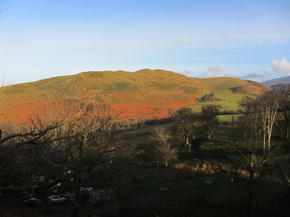
The light and shade on the Lakeland fells are always a pleasure to behold. Sale Fell today was no exception.
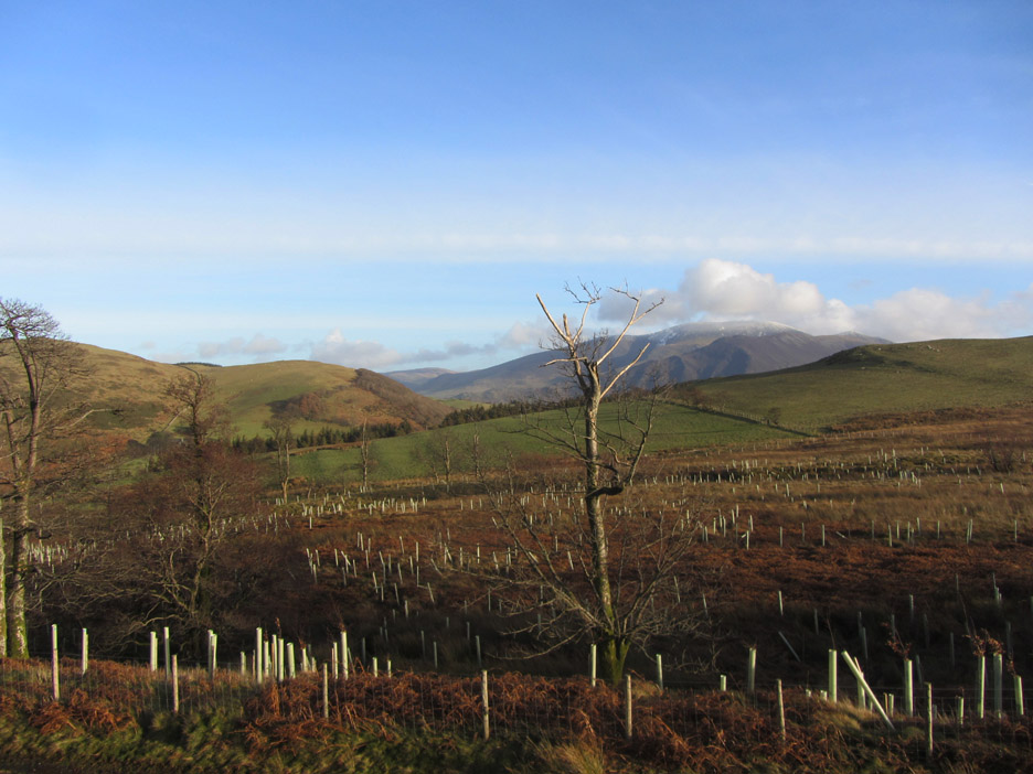
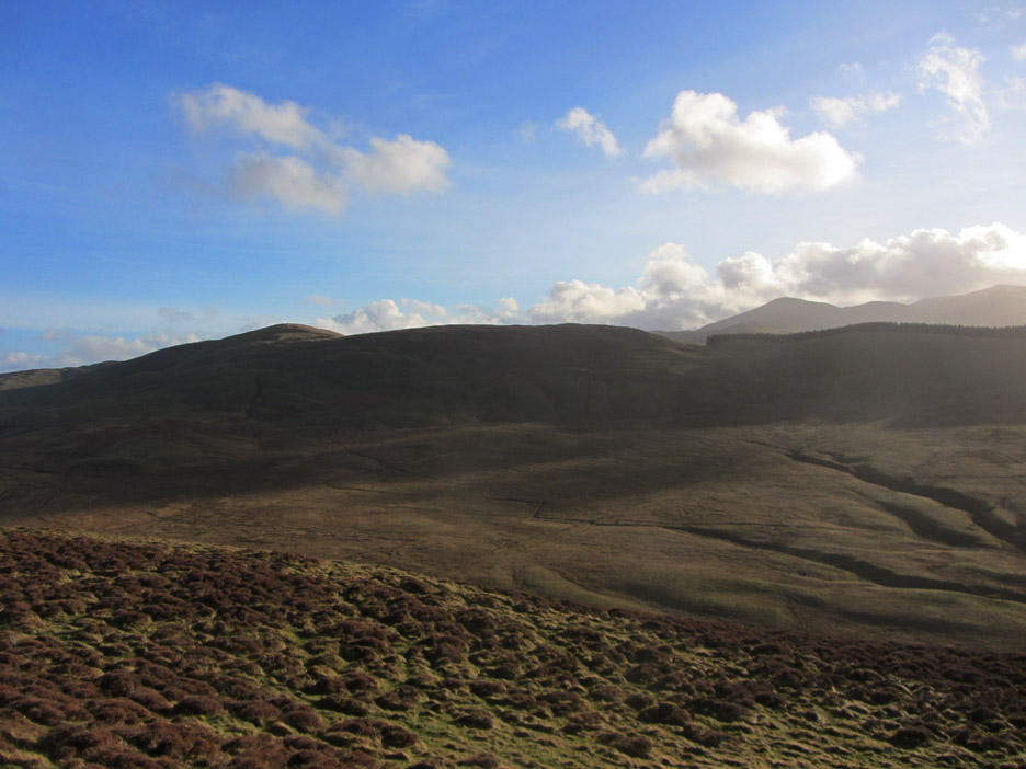
Skiddaw has a dusting of snow. In the foreground new trees have been planted on the slopes of Burthwaite Heights and the slopes of Sale Fell are to the left.
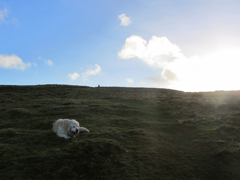
Harry ascending the side of Ling Fell. It is steeper than it looks . . . a pleasant but steady pull up to the summit.
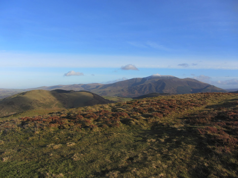
The view east from the summit ridge. Sale Fell in the foreground, the Skiddaw massif in the background and Broom Fell to the right.
The visibility is superb today and Skiddaw even has its own small cloud above the summit.
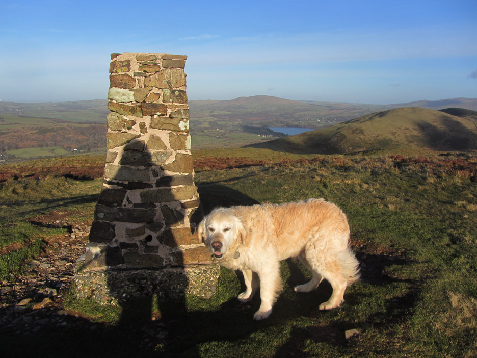
Harry and myself at the trig point, with Binsey and Bassenthwaite Lake seen clearly behind us.
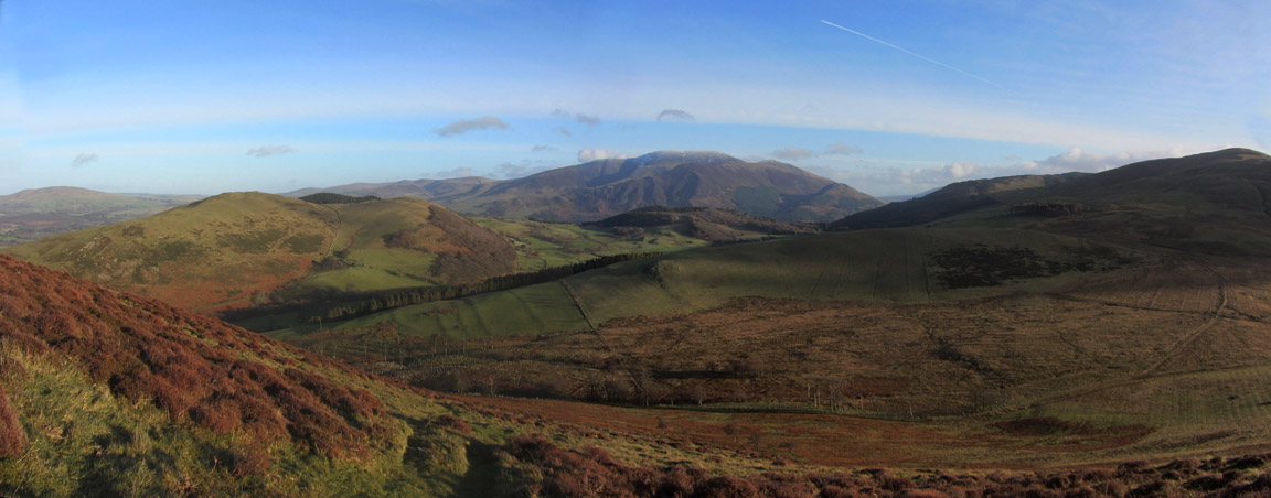
We walked to the edge to linger awhile and take in the view across Wythop Moss towards Broom Fell. Grisedale Pike, in the far distance above Widow's Hause, is hazy in the afternoon sun.
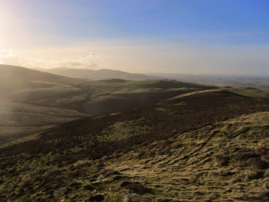
Looking towards the west coast and the Loweswater fells.
Leaving the trig point, we're now on our way back down, Harry taking time out to enjoy a chew on a stick.
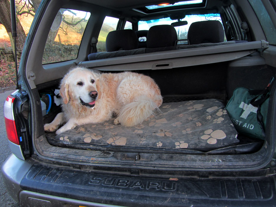
He is probably as relieved as I am that we managed a day of sunshine and for once are not going to arrive home soaking wet and windblown ! - - - o o o - - - Meanwhile . . . back home in the garden . . .
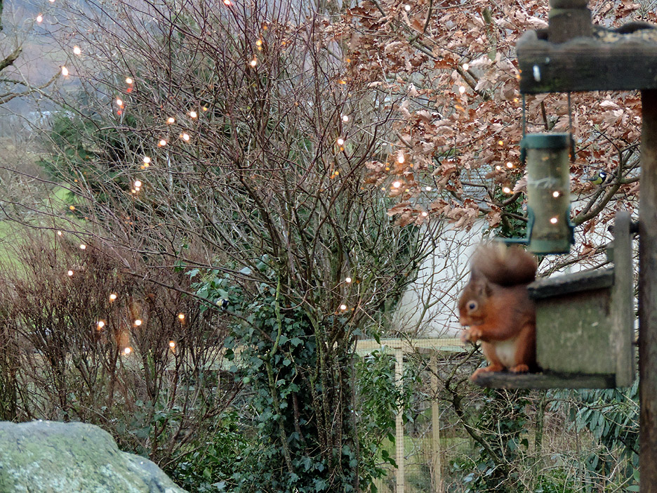
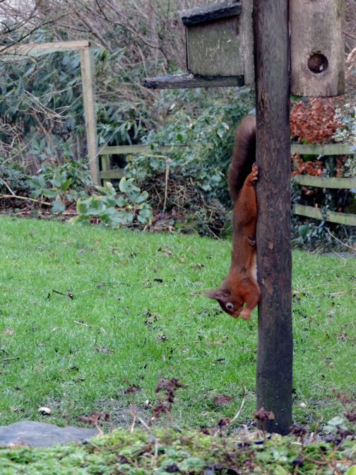
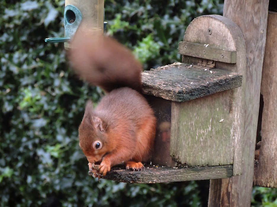
Christmas lights reflected in the double glazing confuses the camera focus slightly but here's one of our two red squirrels enjoying his breakfast.
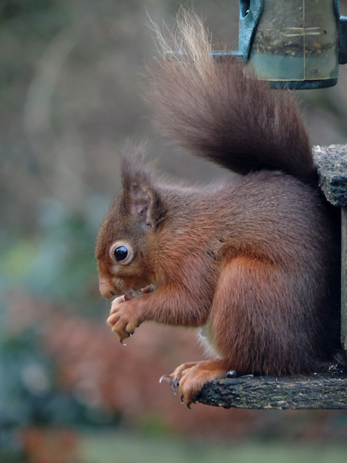
The attraction was too great . . . he stayed a while longer.
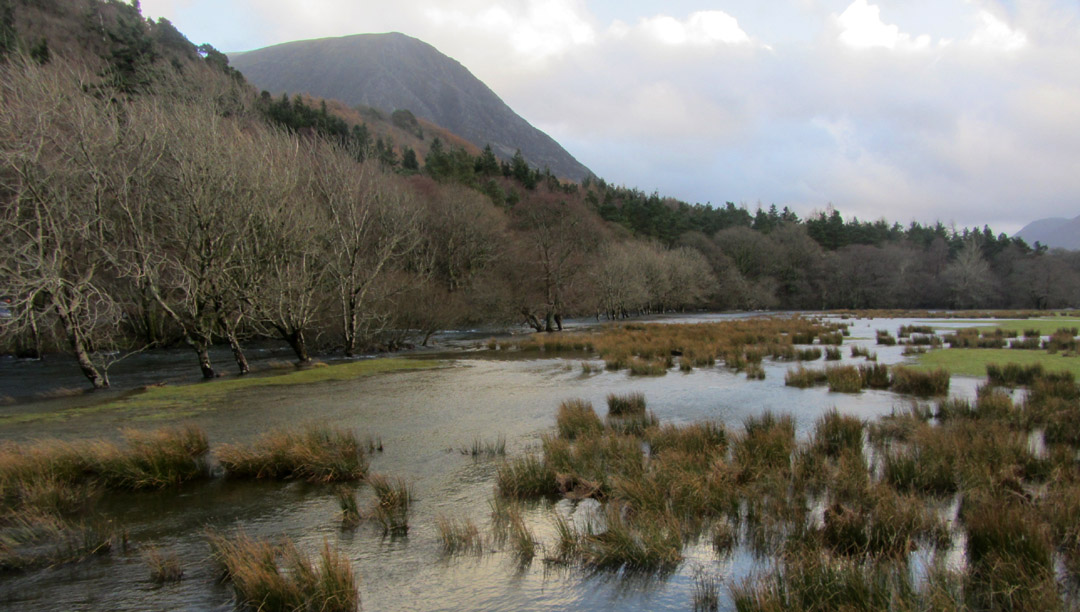
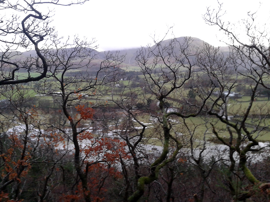
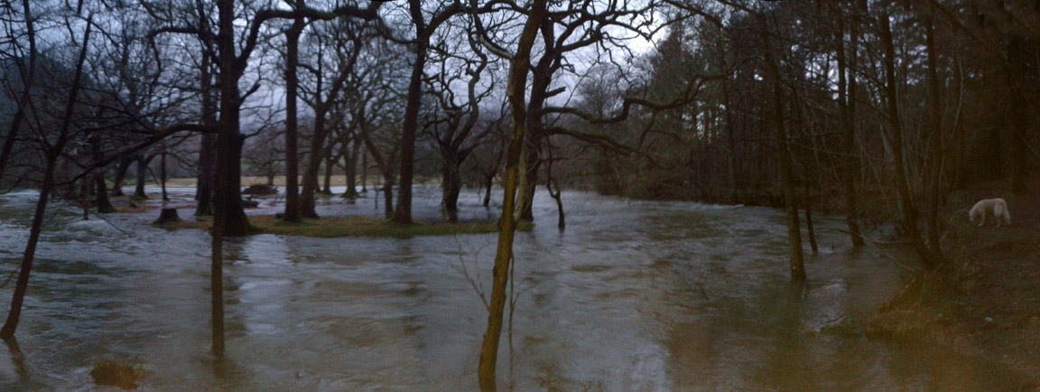
The overnight rains, combined with the well soaked ground of the last few weeks, has caused the River Cocker to overflow its banks and flood the fields again.
Looking down the length of Lorton Vale. There has been a lot of water on the roads but it has drained away well and few fields are flooded for long.
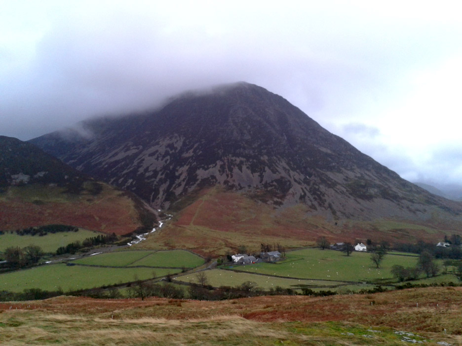
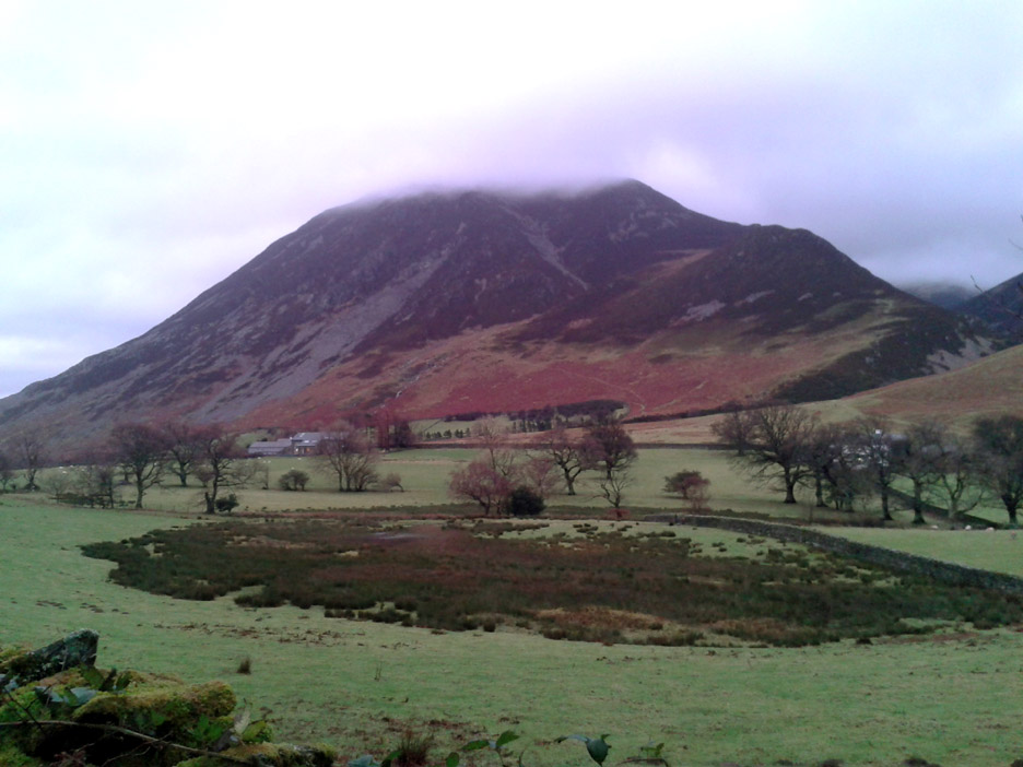
A rather damp view across to Grasmoor and the various buildings at Lanthwaite Green. Note how the white water of Gasgale Gill stands out boldly today.
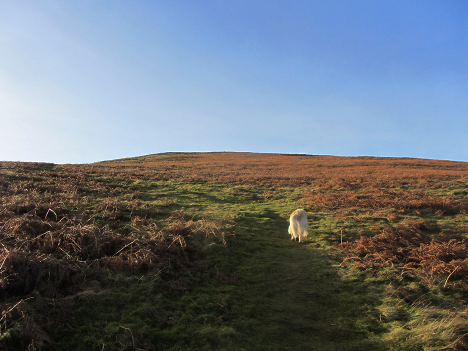
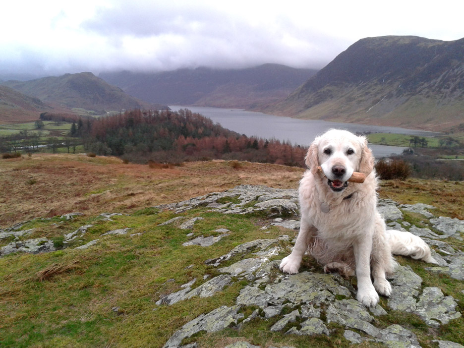
The summit of Lanthwaite Hill and Harry has a stick which he has carried most of the way up.
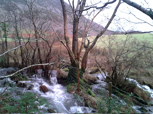
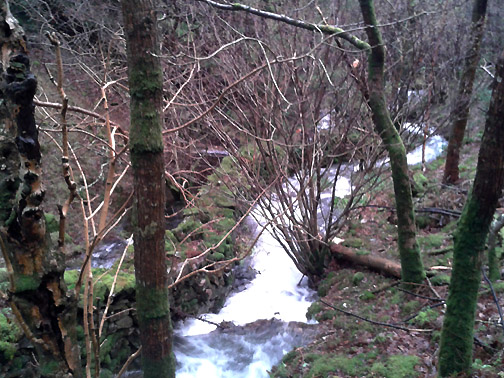
Another damp looking view as we traverse around the back of the hill. Whiteside this time rather than Grasmoor. The two streams that drain this area take an interesting course as they flow down to the lake.
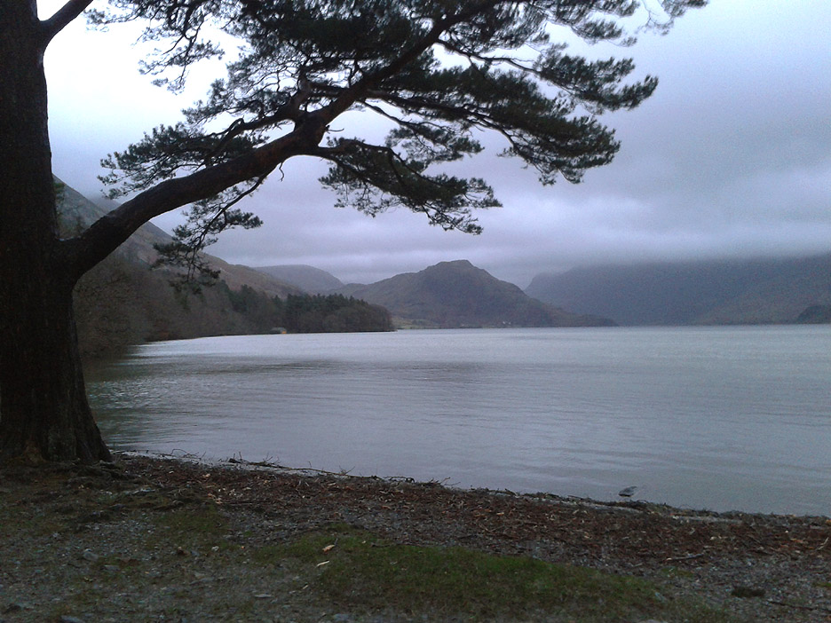
A gentle breeze ruffles the lake . . . a far cry from recent storms by the look of the shoreline debris.
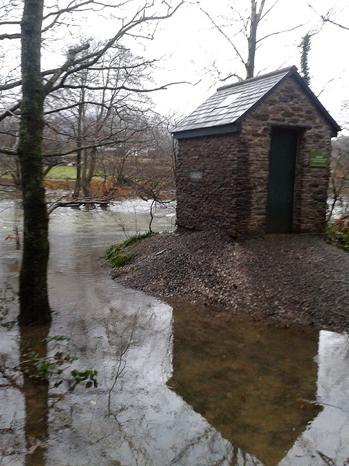
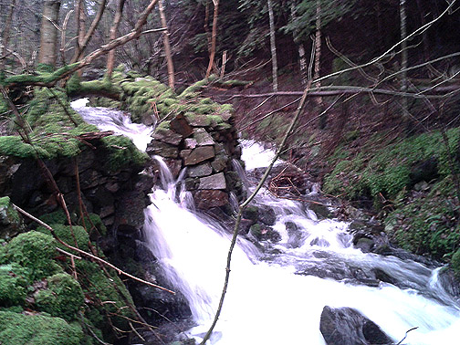
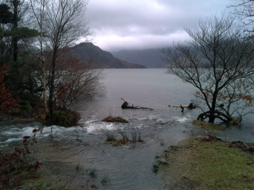
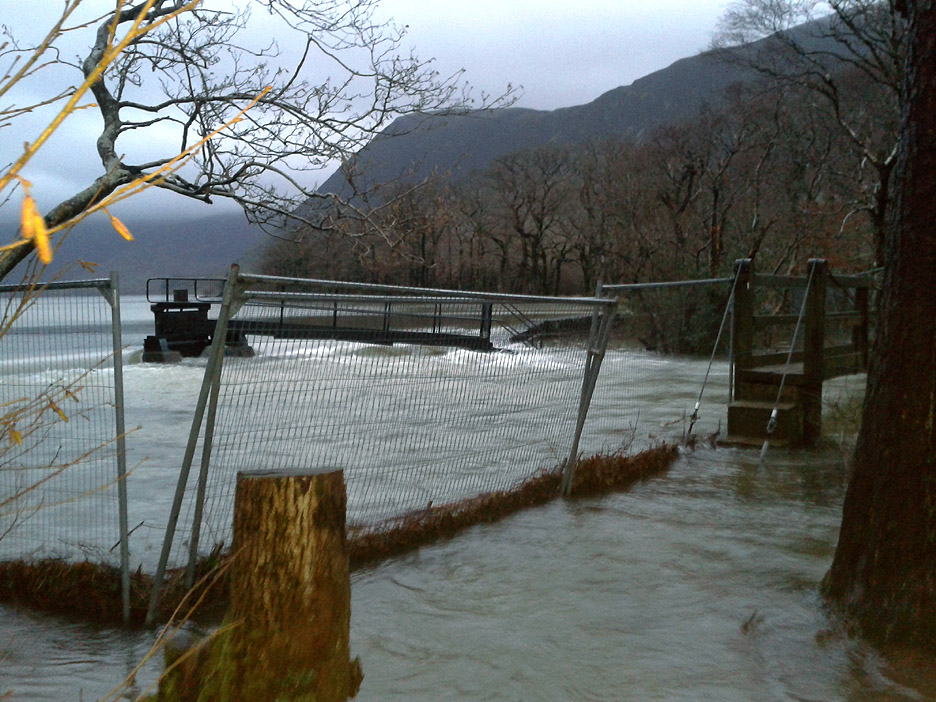
The calmness of the lake hides the high water level . . . this is why the fields are flooded. The weir is almost underwater and the path to the bridge knee deep in the flood. Workmen's fences still adorn the area, but renovations to the weir have been put on hold till the water recedes.
The gentle curve near the bathing pool is a swirling mass of fast moving water. It holds no attractions today . . . let's get back home for a nice pot of tea ! - - - o o o - - - |
Technical note: Pictures taken with either Ann's Canon SX220 (in the sun), my Nikon Coolpix P520 (in garden) or my Samsung mobile (in the rain). Resized in Photoshop, and built up on a Dreamweaver web builder. This site best viewed with . . . a photographic device of some sort in hand. Go to Top . . . © RmH . . . Email me here Previous walk - 25th Dec 2013 - Barrow Fell for Christmas Day A previous time at the weir - 28th May 2011 Crummock and a Geocache Next walk - 31st Dec 2013 - Back from Cinderdale ~ New Year's Eve
|