![]()

Remember: Press F11 for a full
screen view of this page.
|
|
|
Remember: Press F11 for a full
screen view of this page. |
| " Low Fell sunshine on a quiet Saturday " Date & start time: Saturday 28th September 2013, 2.45 pm start. Location of Start : The red phone box, Loweswater , Cumbria, Uk ( NY 148 236) Places visited : Thackthwaite, Low Fell, Low Fell southern top, Foulsyke and home. Walk details : 3.3 mls, 1250 ft of ascent, 2 hours 30 mins. Highest point : Low Fell, 1375 ft - 423 mtrs. Walked with : Ann and the dogs, Harry and Bethan. Weather : Sunshine and blue skies. |
" Low Fell sunshine on a quiet Saturday " at EveryTrail [ Alter the settings to zoom or change the Map, use Everytrail to download the Gps route ] |
|
It is Saturday towards the end of summer and recent rains and the ending of the school holiday have reduced the number of visitors to the Lakes. The valley is a little quieter this week too, possibly due to the Electricity Board closing the main valley road while they take ages to lay a cable on the Scale Hill roadway. Such is the price of progress. We didn't need to use that road to get to the start of our walk however as we took the back road down the valley to Thackthwaite.
Low Fell had been calling to us all day . . . it was looking its best in the bright sunshine.
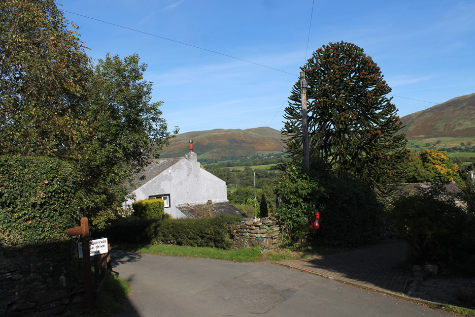
Down at Thackthwaite now . . . the path onto Low Fell starts opposite the rather nice Monkey Puzzle tree.
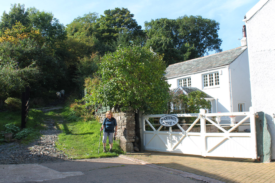
Up the lane alongside Thackthwaite House.
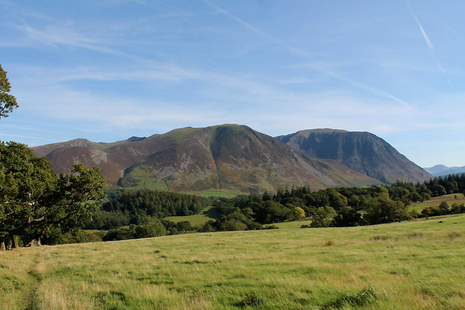
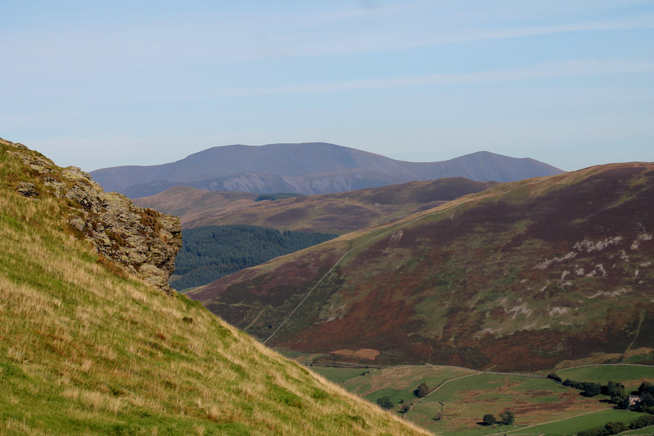
As we climb out of the valley the view across allows us to see Whiteside and Grasmoor. Hopegill Head and Ladyside Pike are just showing to the left above the trees on this side of the field.
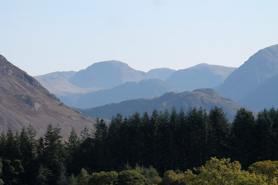
The power of a bigger lens brings Great Gable into focus. Behind it is Broad Crag and in fact the summit cairn of Scafell Pike, though it blends with Gable's right hand neighbour, Kirk Fell.
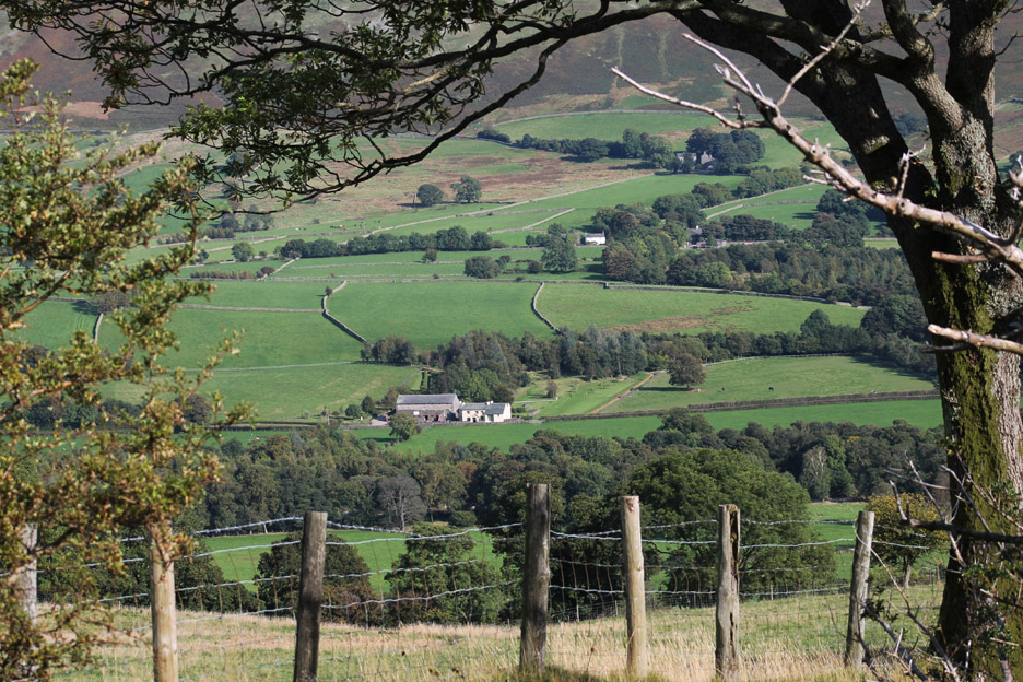
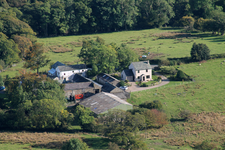
New House Farm and the Barn Tearooms and the adjacent fields that were the location for the recent Loweswater Show
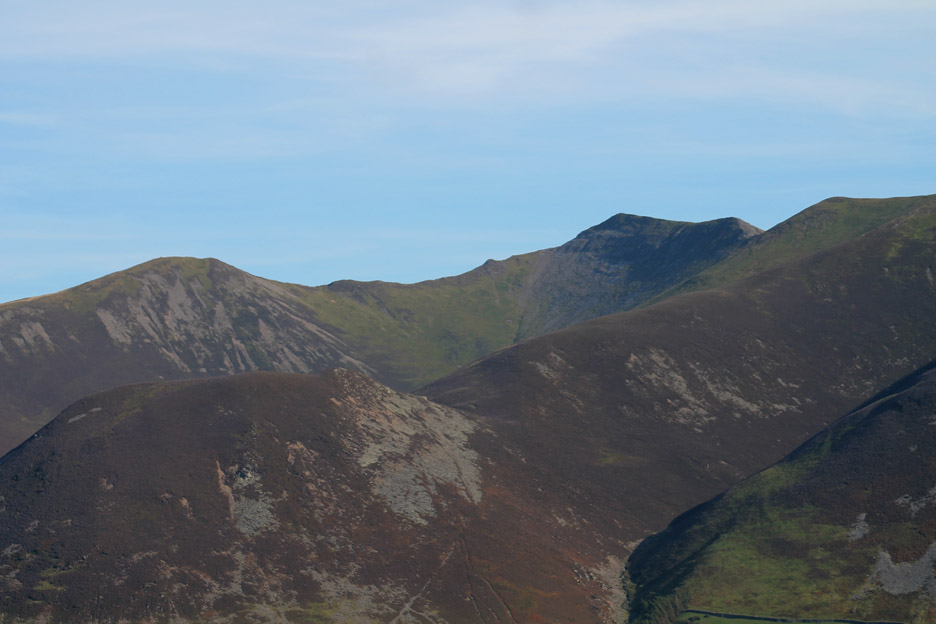
Hopegill Head is a lot clearer now as it rises above its neighbours, courtesy of us climbing up our side of the valley.
Through the top gate and out onto the fell side on the old track to Mosser.
Some say this is an old "Coffin Road" to the ancient church on the other side of the fell. In that case this may explain the "resting stone" . . . today a seat to enjoy the view, before it would have been used to rest the coffin off the ground to give the pall-bearers a break on the way up the climb.
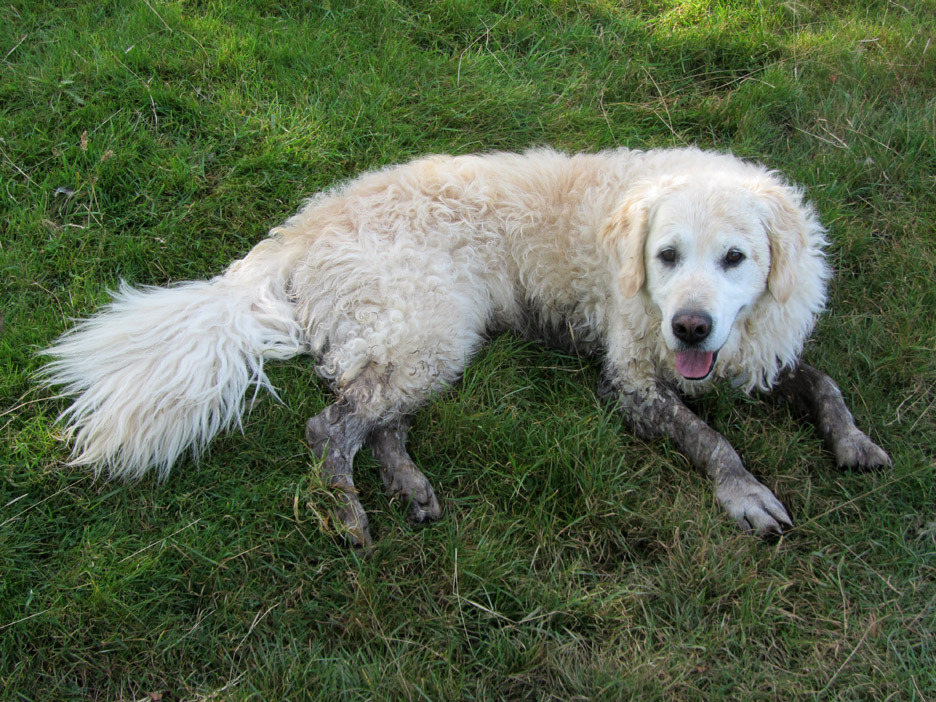
Keen dog watchers will have noticed Harry has changed colour AGAIN . . . fortunately it was non-smelly this time !
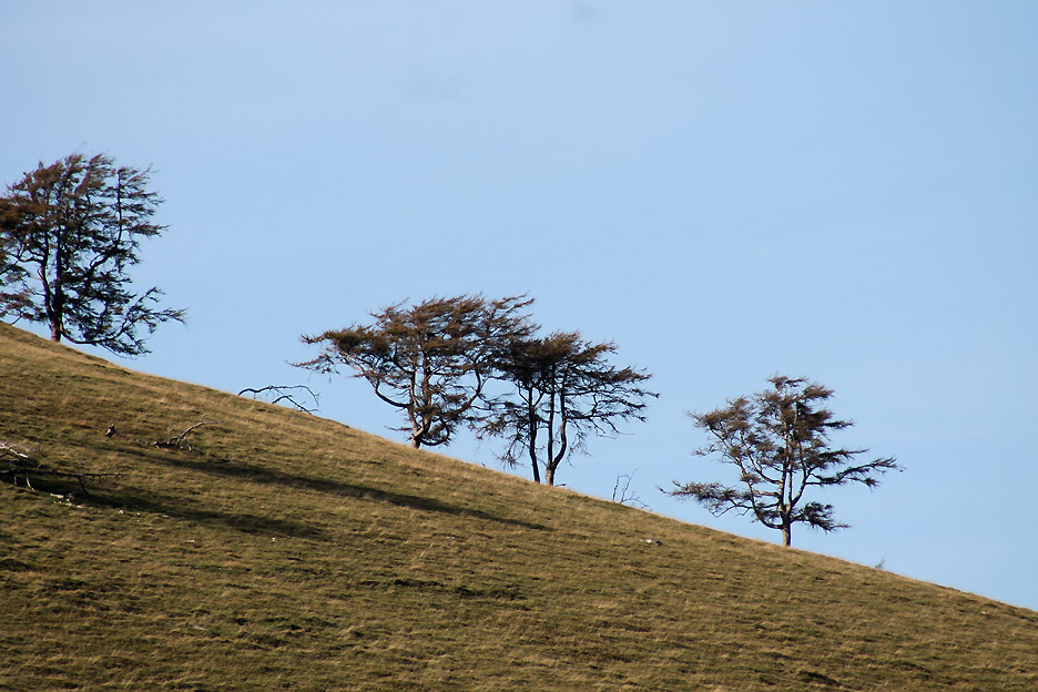
Windswept larch trees on the skyline of Fellbarrow opposite the "resting stone".
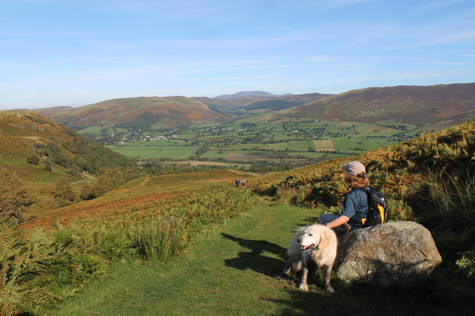
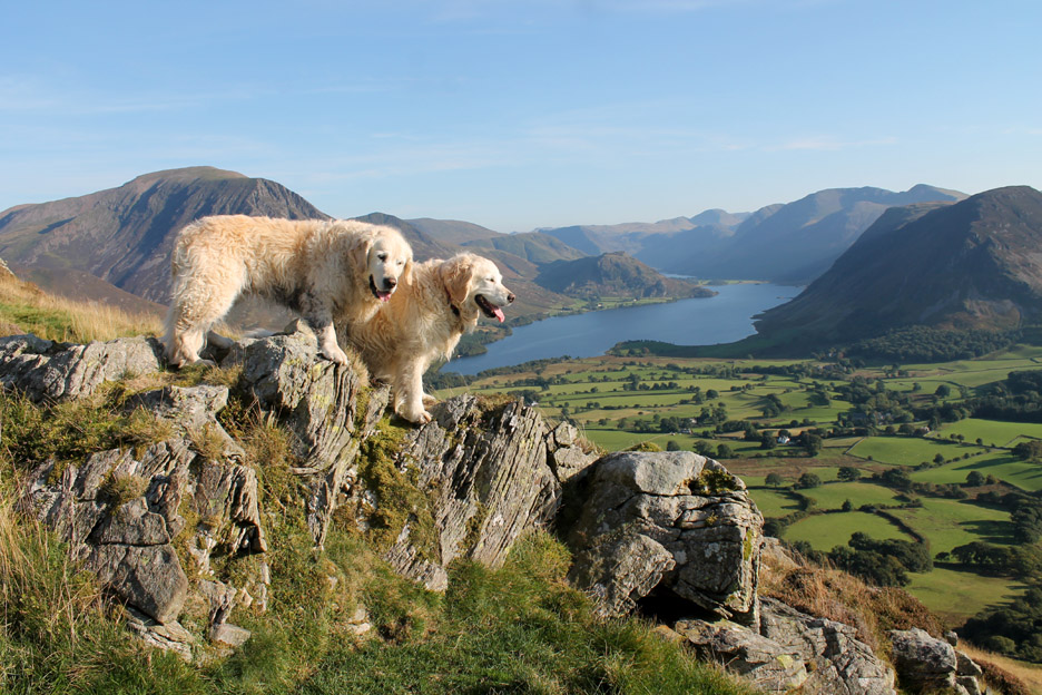
Up onto the high ground now. Low Fell might not be the highest fell around, but by being set back from its higher neighbours, the view is wonderful Today in the bright sunshine and clear air it is even better than normal.
I hold back for a photo from the edge.
. . . the rocks of Watching Crag with Skiddaw and Skiddaw Little Man in the distance.
Looking the other way we get a fine view into the valley.
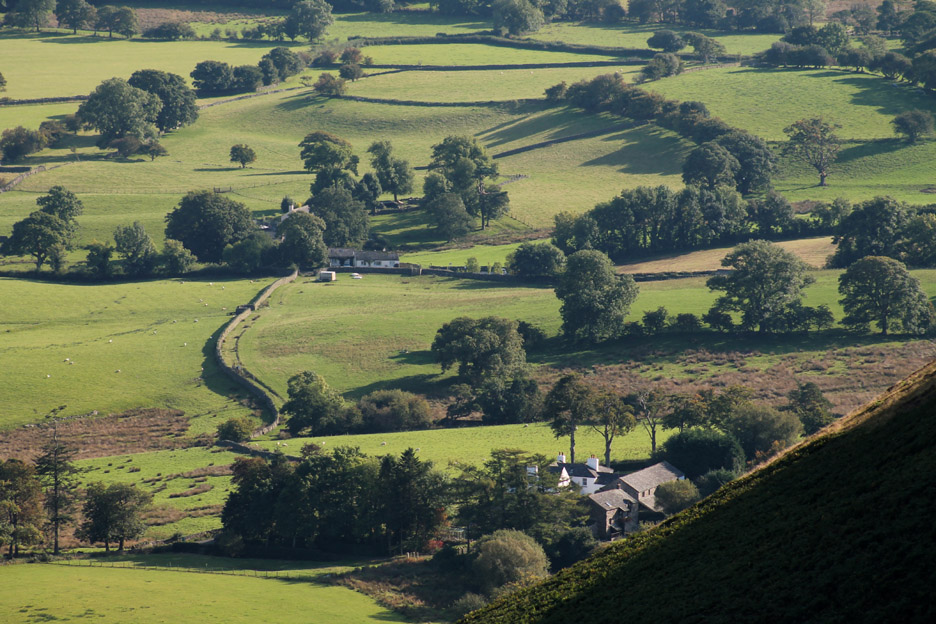
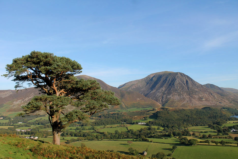
Oak Bank Farm . . . unfortunately our distant neighbour Dick Bell who lived there has passed away this year. It was always interesting to talk to him about local places and how they had changed, or not changed, over the years. In his late eighties when he died, he remembered playing as a child under the large scots pine that we will visit later on . . . and apparently it looked no different then to the way it looks today .
Also in view is our cottage . . . a "you can see our house from here" moment !
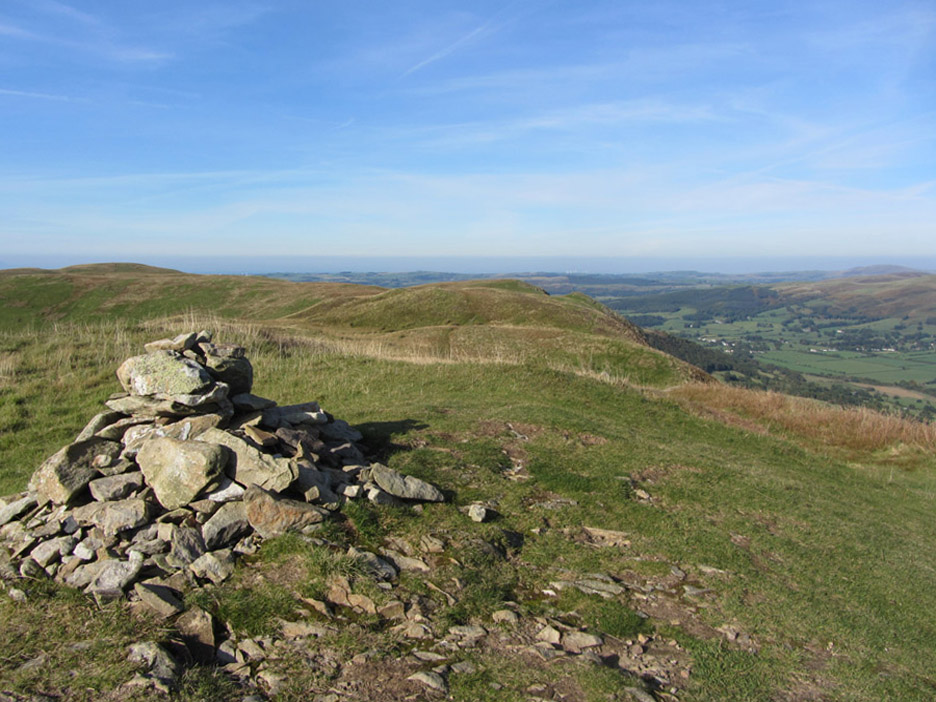
The summit cairn on Low Fell on cue.
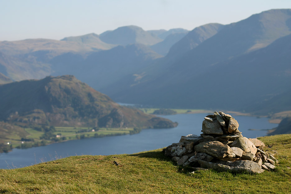
A background of the north Solway Plain is swapped for the Buttermere Valley for this perspective shot of the same cairn.
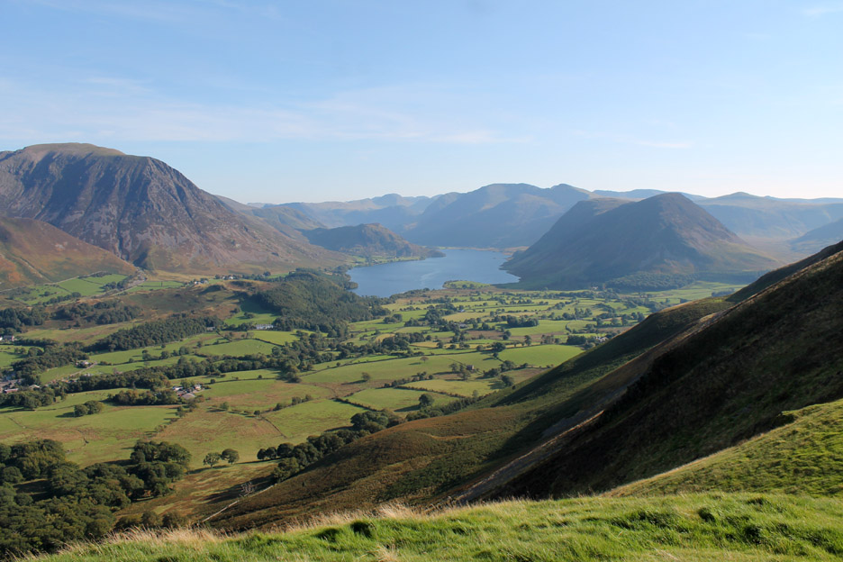
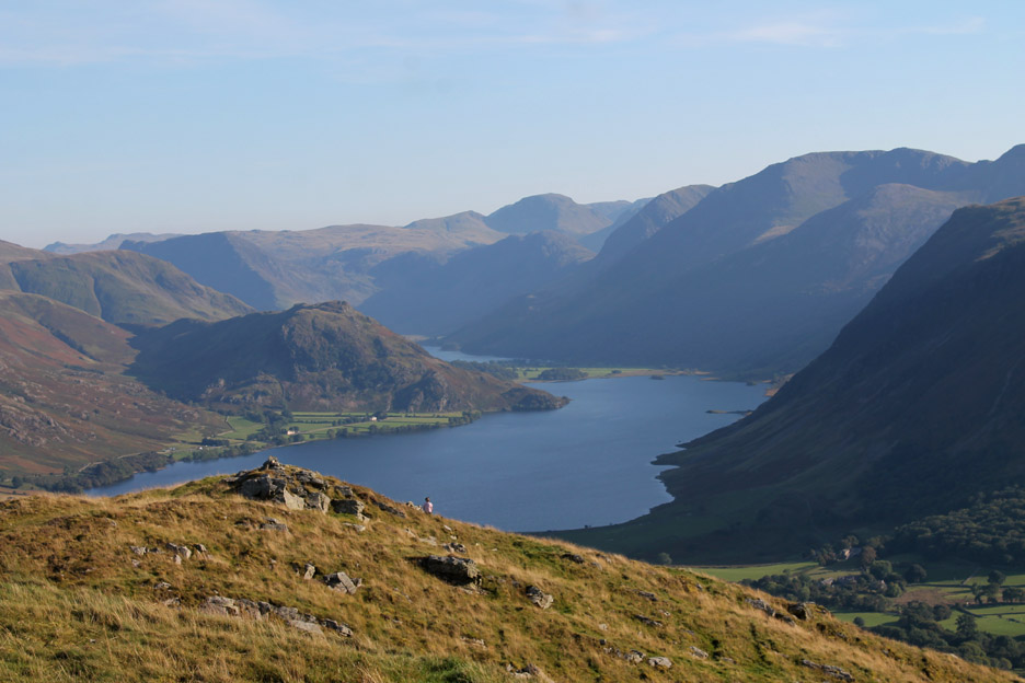
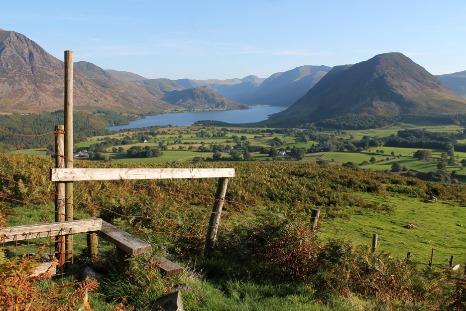
The next high ground in the southern viewpoint from where we can get our first view down towards Loweswater itself, the water glistening in the bright sunshine.
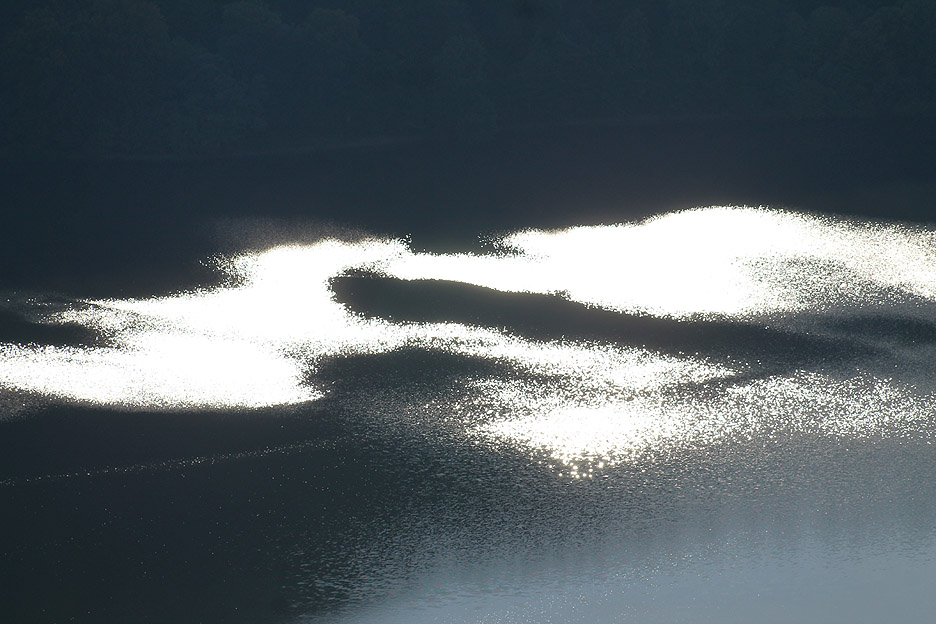
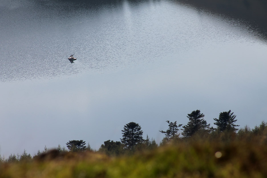
Zooming in . . . no point in asking what it is . . . I've already given the game away.
This is a more difficult item to identify but regular viewers will recognise the solar panels on the Loweswater Project buoy which are helping rid the lake of blue-green algae.
The best viewpoint to the south is in fact from that lower cairn.
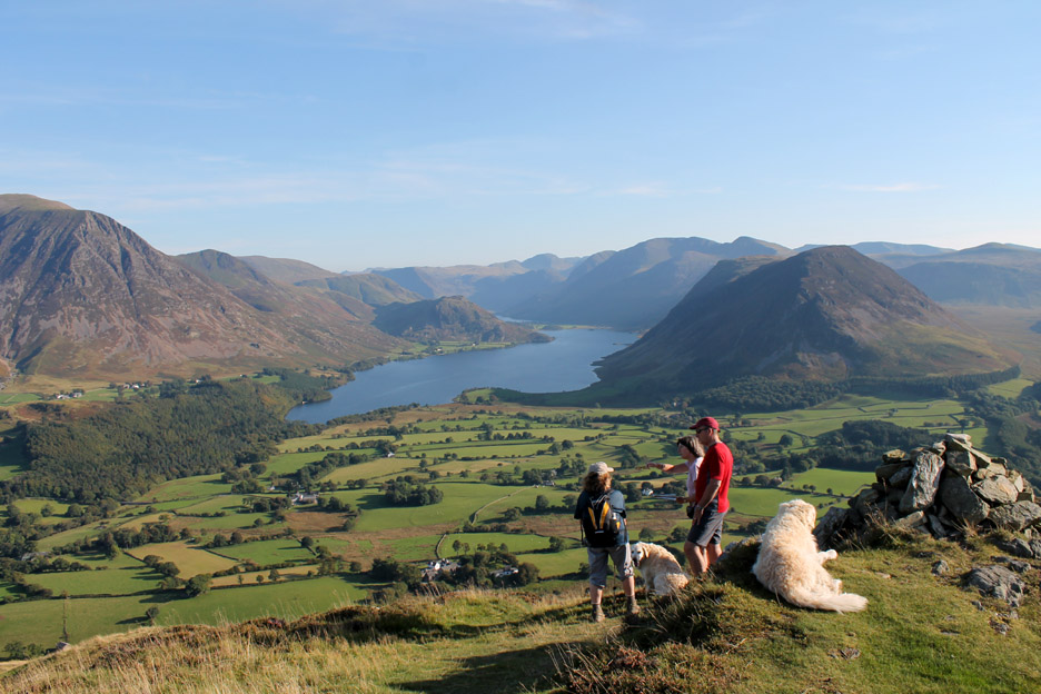
Here we met up with some other walkers who were walking a Low Fell Round which involved a low level, road walk around the base and a high level return.
Our route would be down off the end, back to the pine tree, so they joined us on the descent . . . taking advantage of local knowledge about the ways down from this steeper end of the fell.
The route finding is easy . . . just follow the dogs . . . they know the way from having done it so often.
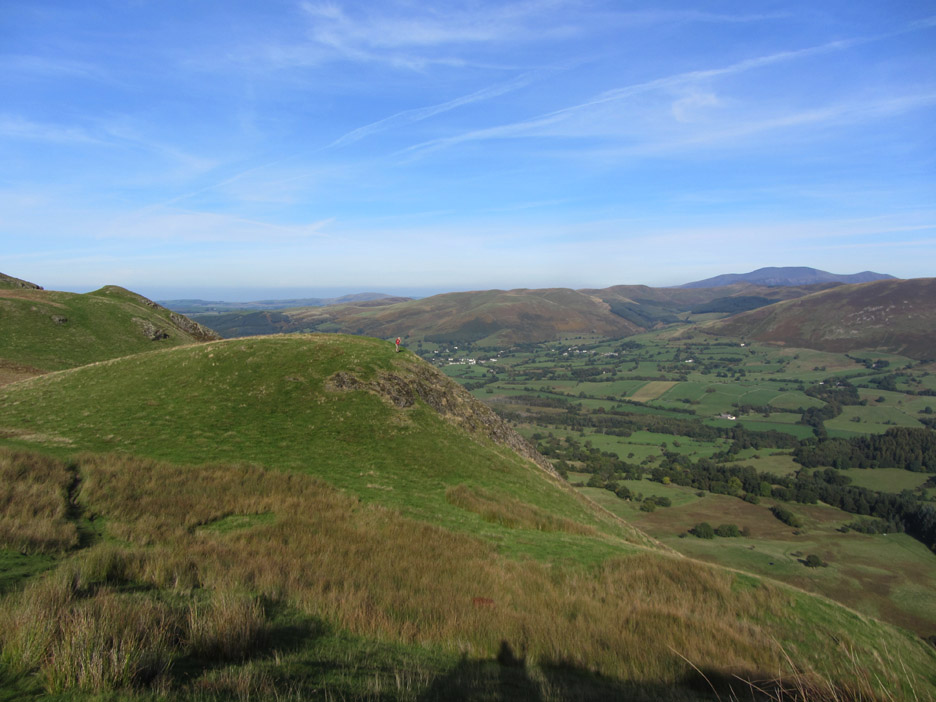
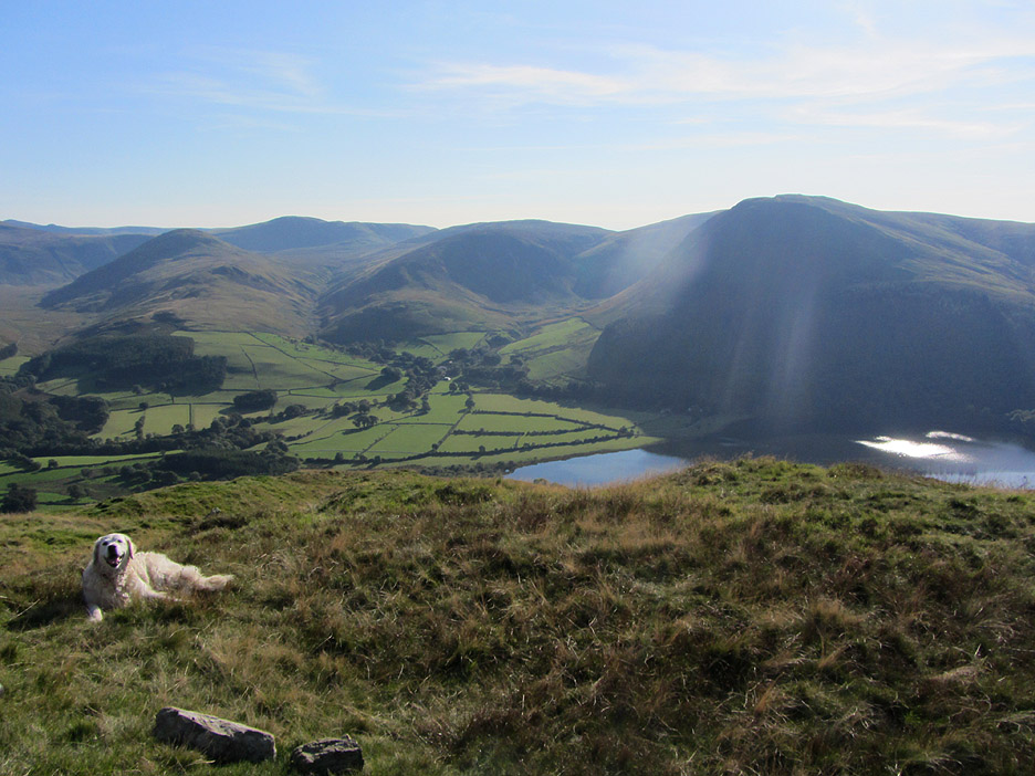
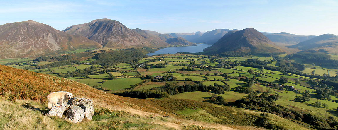
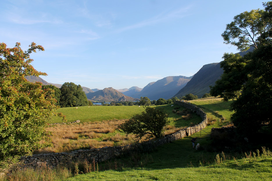
The Loweswater Fells and Loweswater as we walk down.
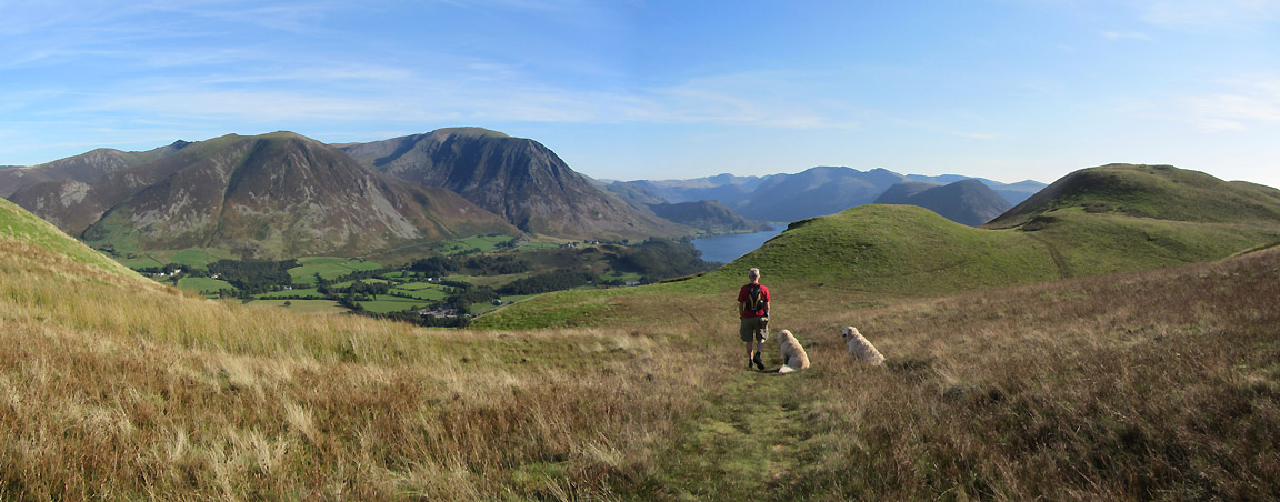
A panoramic shot allows me to include both Whiteside on one end and Hen Comb on the other.
The stile at the foot of the steep section. The footpath will contour round in the sunshine from here for a while before we have to drop down through the shady woodland below.
Dick's Tree . . . the lone pine on the side of Low Fell.
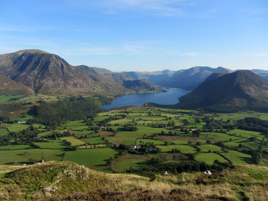
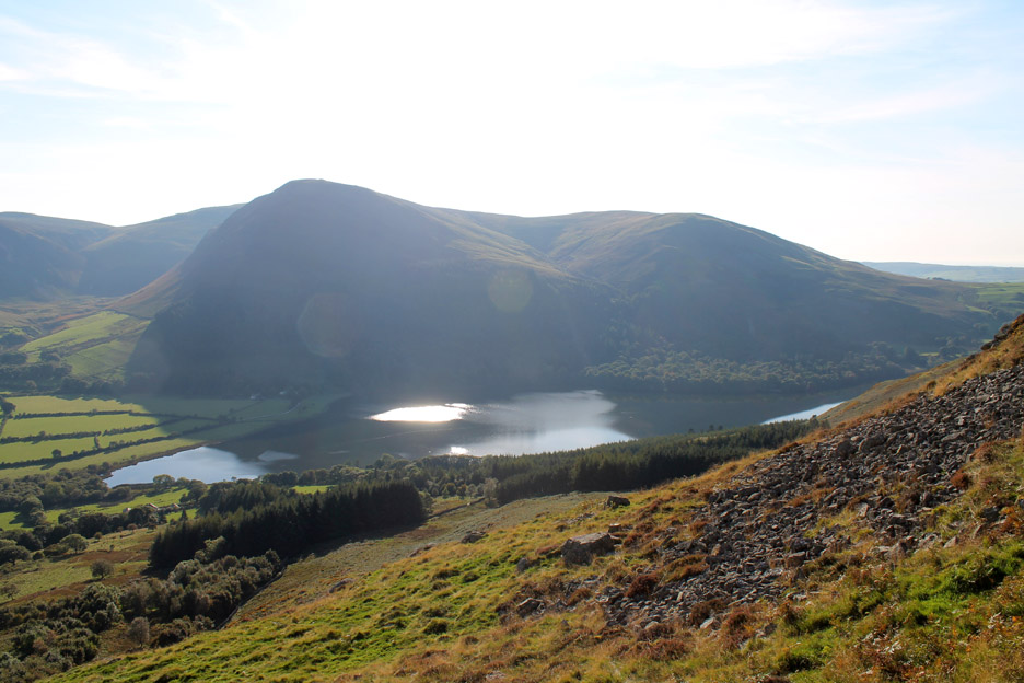
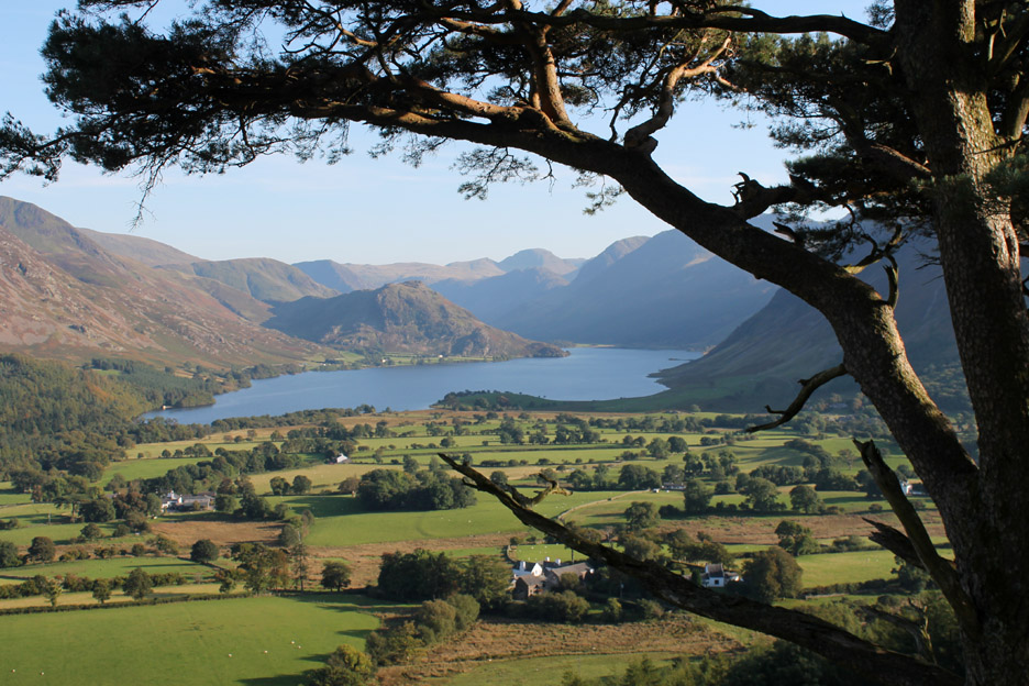
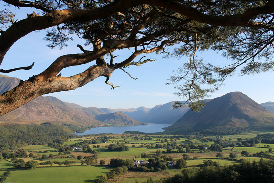
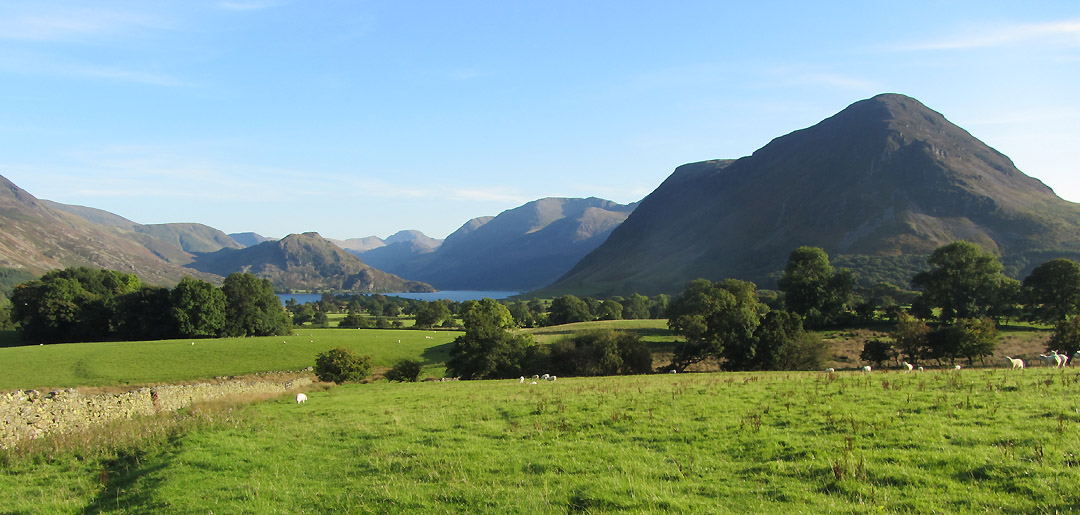
Rannerdale and Crummock Water.
Looking the other side the view is of Crummock and Mellbreak.
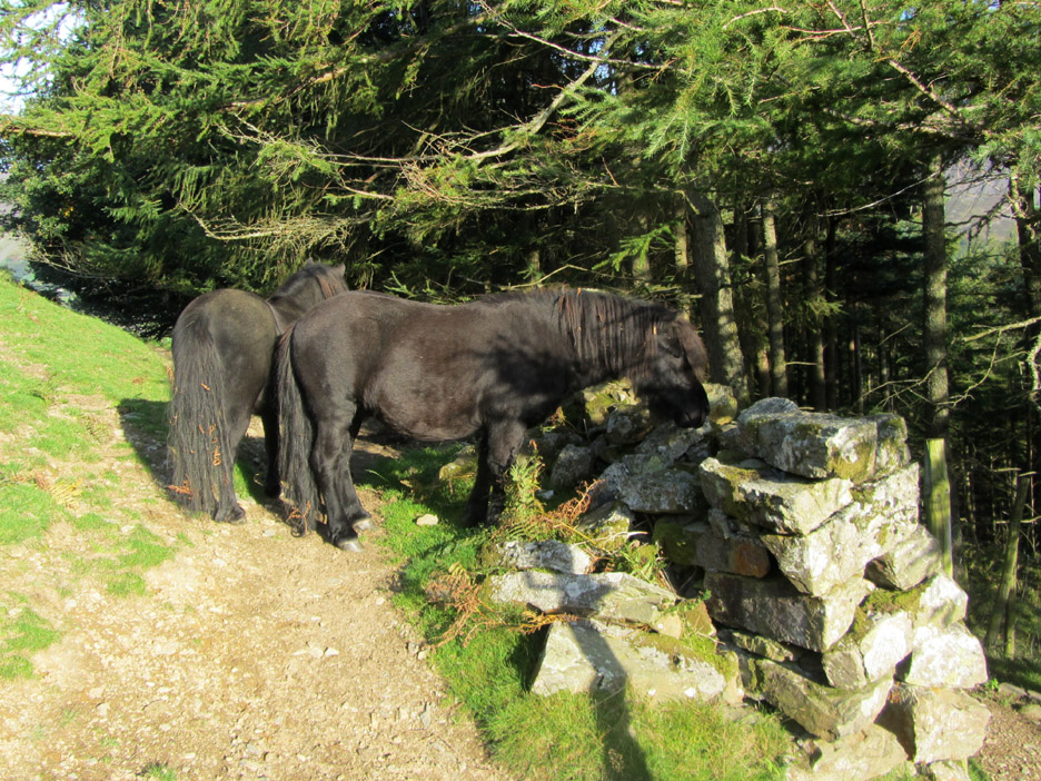
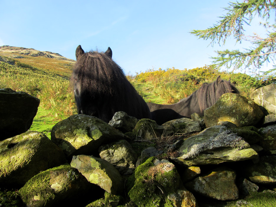
Two of the small Low Fell Shetland ponies are down by the woodland today.
Playing peek-a-boo over the wall !
After reaching the road, we say goodbye to our fellow walkers and head across the fields back to our home.
Ann in the shadows collects Harry and Bethan from the small stream that flows down between the fields, before they get too wet.
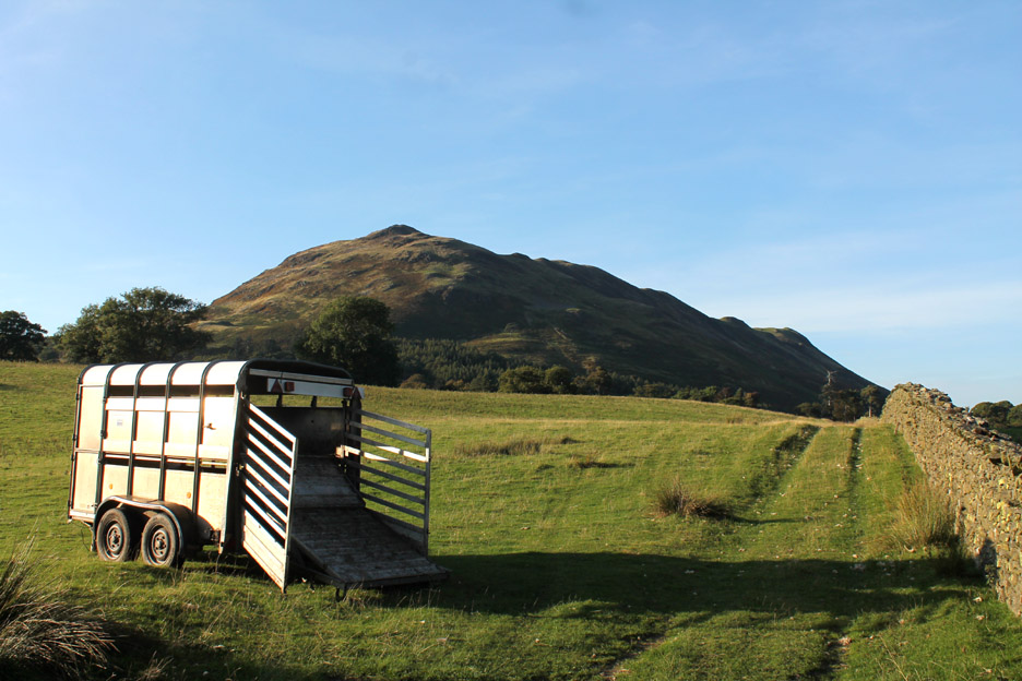
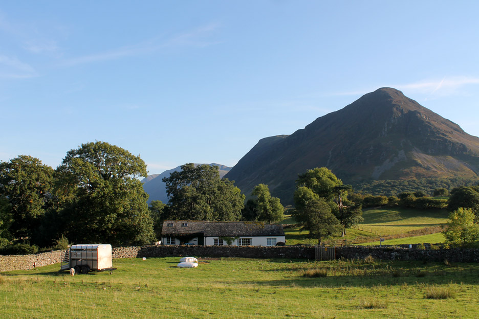
Back to the sheep trailer and home at the end of a lovely local walk. - - - o o o - - - |
Technical note: Pictures taken with either Ann's Canon Sureshot SX220, or my Canon 1100D SLR digital camera. Resized in Photoshop, and built up on a Dreamweaver web builder. This site best viewed with . . . a second vehicle to go and pick up the first one. Go to Top . . . © RmH . . . Email me here Previous walk - 27th/29th September 2013 - Local Autumn Sunshine A previous time up here - 8th December 2012 Sunrise and Low Fell Next walk - 12th October 2013 - Fleetwith Pike with Jo and Neil
|