![]()

Remember: Press F11 for a full
screen view of this page.
|
|
|
Remember: Press F11 for a full
screen view of this page. |
| " Langstrath on the level " Date & start time: Sunday 16th June 2013, 11 am start. Location of Start : The red phone box, Stonethwaite, Cumbria, Uk ( NY 262 138 ) Places visited : Stonethwaite, Langstrath, Black Moss Pot and return. Walk details : 4.4 mls, 450 ft of ascent, 3 hours 40 mins including a liesurely lunch. Highest point : Black Moss Pot 600ft above sea level. Walked with : Jo, Ann and the dogs, Jodie, Amber, Harry and Bethan. Weather : Overcast with sunny periods, gentle but cool breeze at times. |
" Langstrath on the level " at EveryTrail [ Alter the settings to zoom or change the Map, use Everytrail to download the Gps route ] |
|
Poor old Bethan has strained a muscle, Harry has a bad stomach from eating something he shouldn't (probably) and Jodie, the grand old lady of the pack would prefer a less active, less manic walk. 'Needs must' therefore for a flat walk today so when Jo came over we packed the swimming costumes and some lunch and headed for Langstrath. Would the weather stay sunny . . . would the water be warm ? Were we too optimistic . . . is the Pope Catholic ?
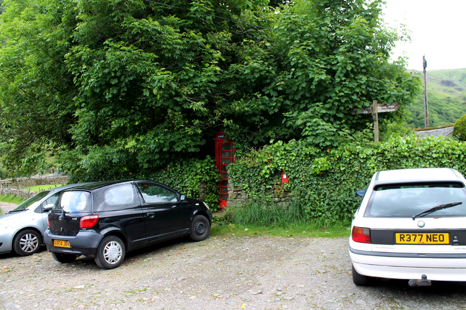
Parking by the red phone box at Stonethwaite . . . if you can work out where it is (a good memory helps).
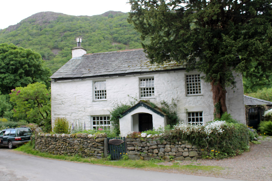
Another Yew Tree Farmhouse, one of many in the Lakes. This one is in Stonethwaite at the start of our walk. I think we found the last parking spot as many of the others further back were being used by folk attending the Borrowdale School Summer Fete.
Summer colours and full leaves on the trees as we pass the Langstrath Hotel.
Looking back to sunny Kings How and the Maiden Moor ridge flanking the Borrowdale Valley.
Galleny Falls . . . running reasonably full due to some rain in the last 36 hours.
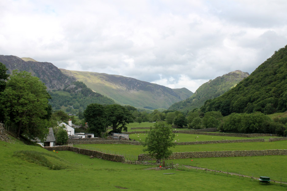
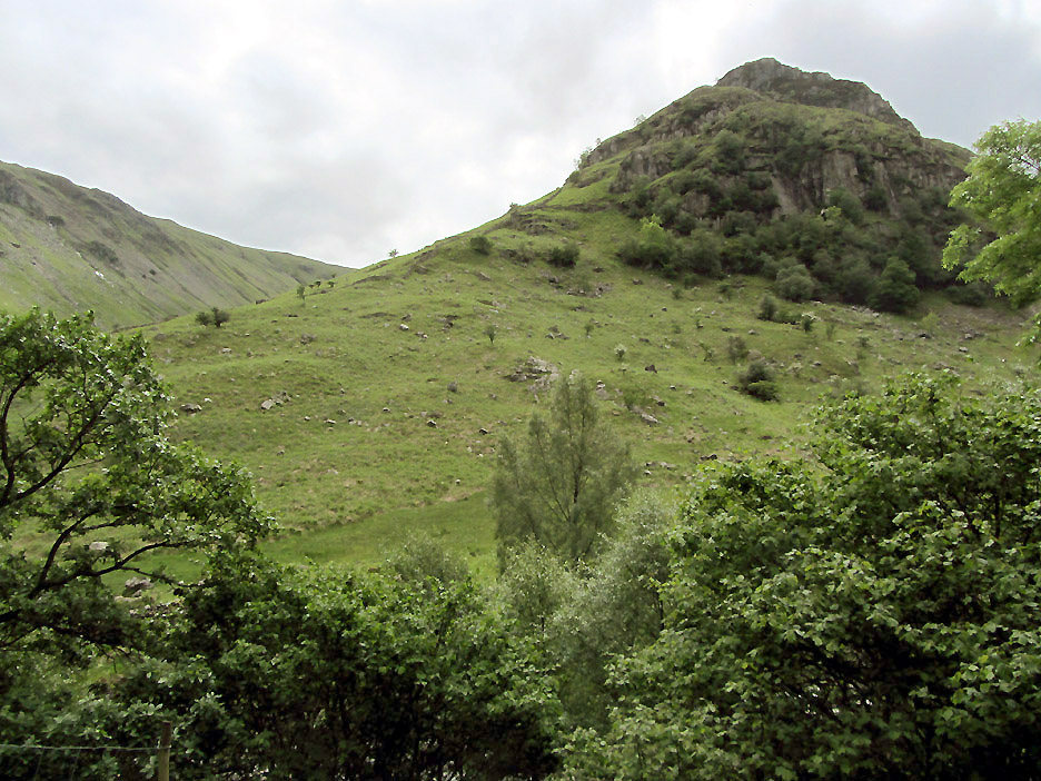
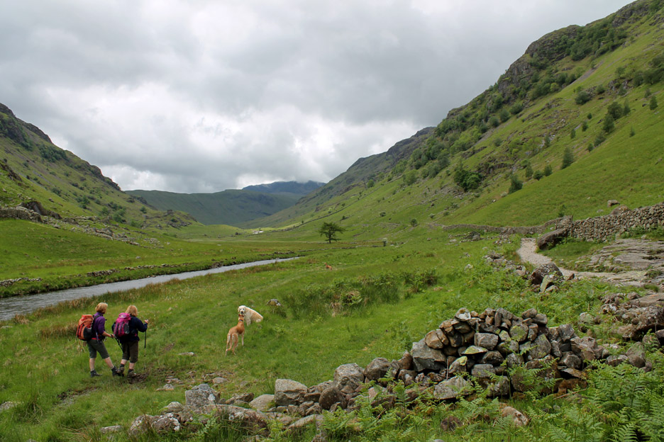
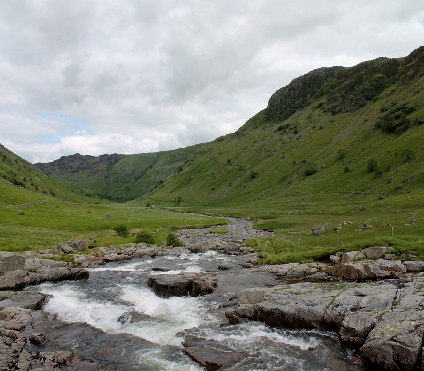
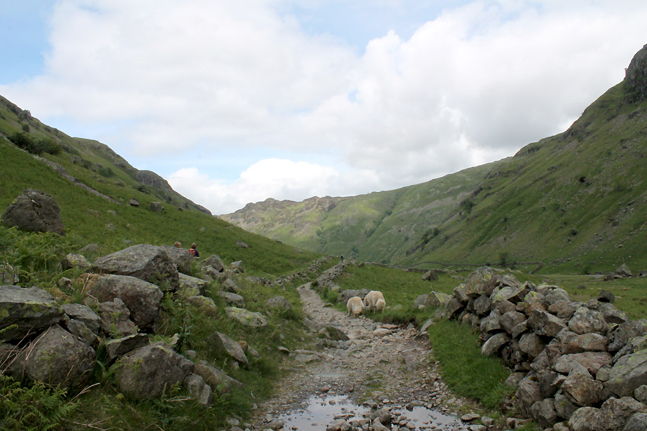
We turn and start our walk up Langstrath Valley. Above us, across the river, is the steep ground of Eagle Crag.
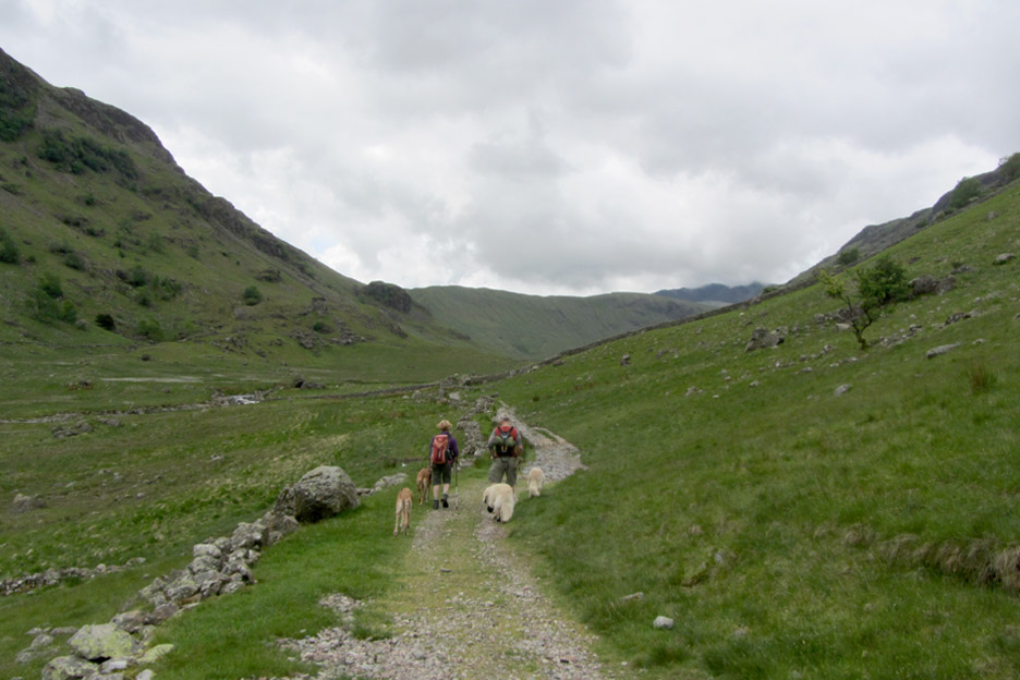
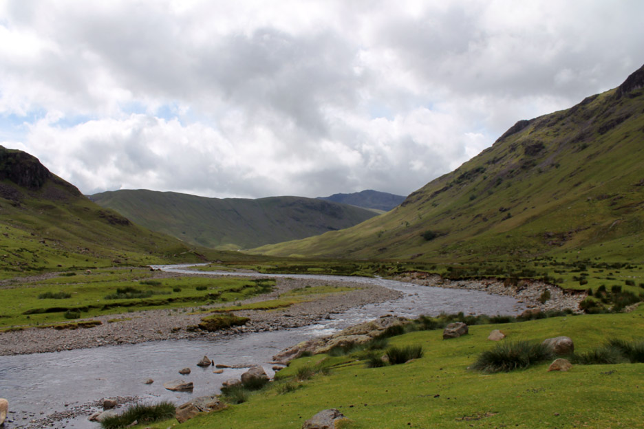
The track makes its way up the valley, with the opportunity occasionally to take to the grass, to give a break from the stony surface. Up ahead . . . still some four miles away is Bowfell, its top just touching the clouds.
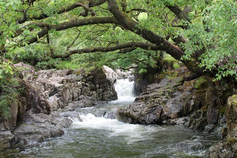
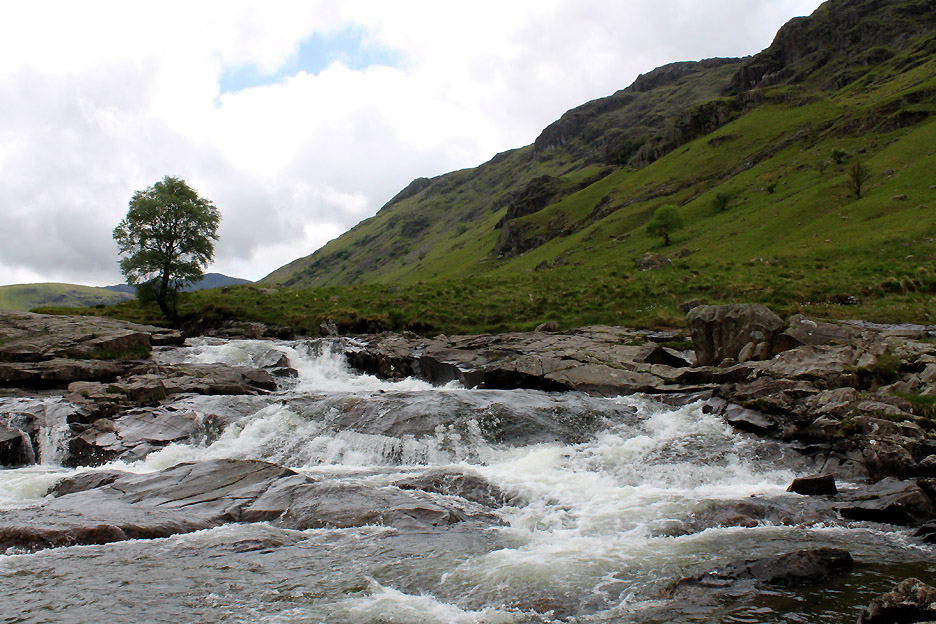
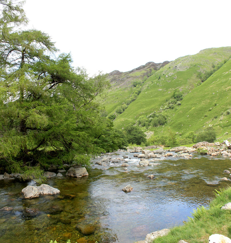
There are a few areas of harder rock that cause the river to alter its characteristic stoney disposition. Here a band of rock causes the water to cascade over a wide open falls, large rocks cluttering the downstream side of the falls.
Close-up look at the top section.
Looking back from above the falls. Eagle Crag is now down the valley on the right . . . the orange dot mid picture being Jo's rucksack.
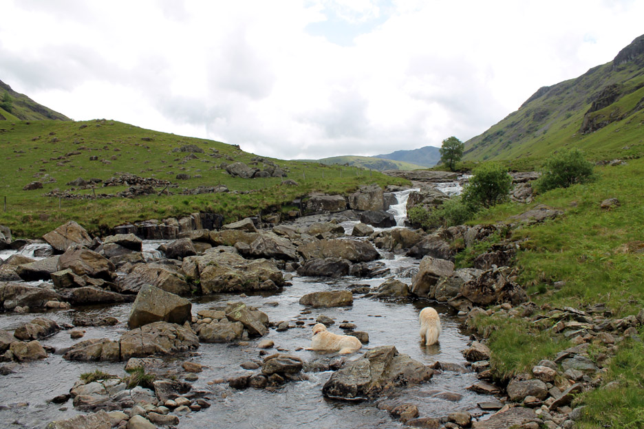
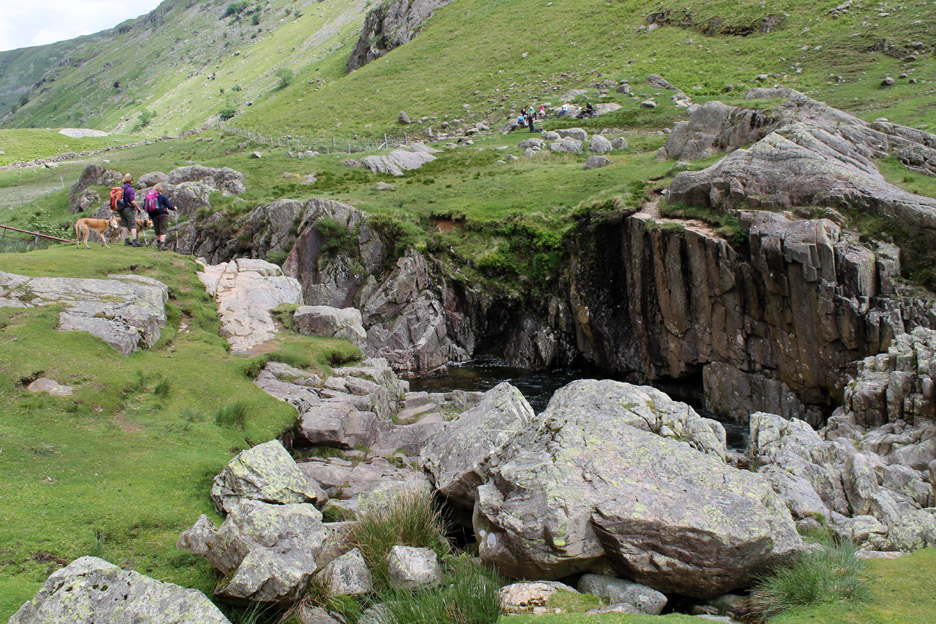
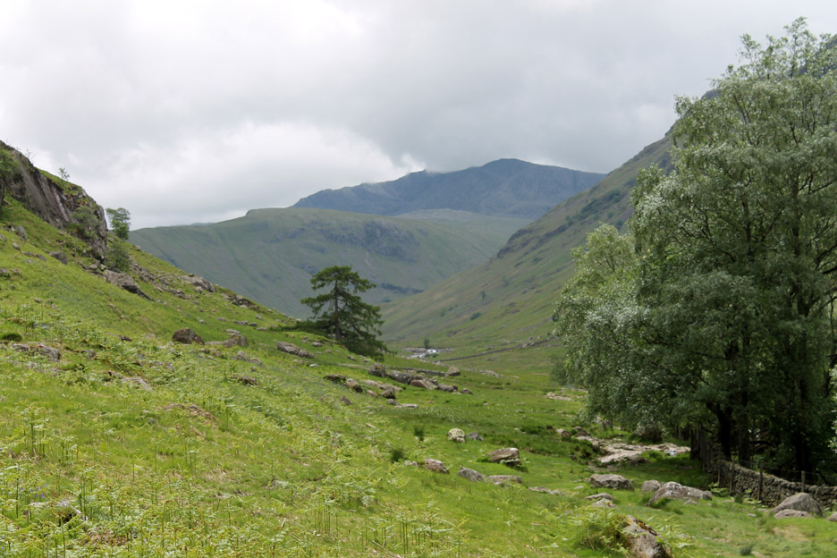
Just one more flatter section of track and we'd be at Black Moss Pot.
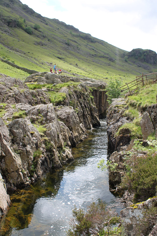
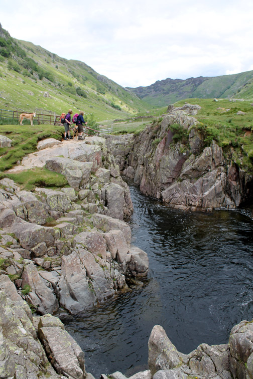
Another harder band of rock but this time the river has eroded a way through and now forms a delightfully narrow gorge with a waterfall at the top end.
Those of a more macho disposition also jump off the cliffs opposite and drop some 15 to 18 feet into the water.
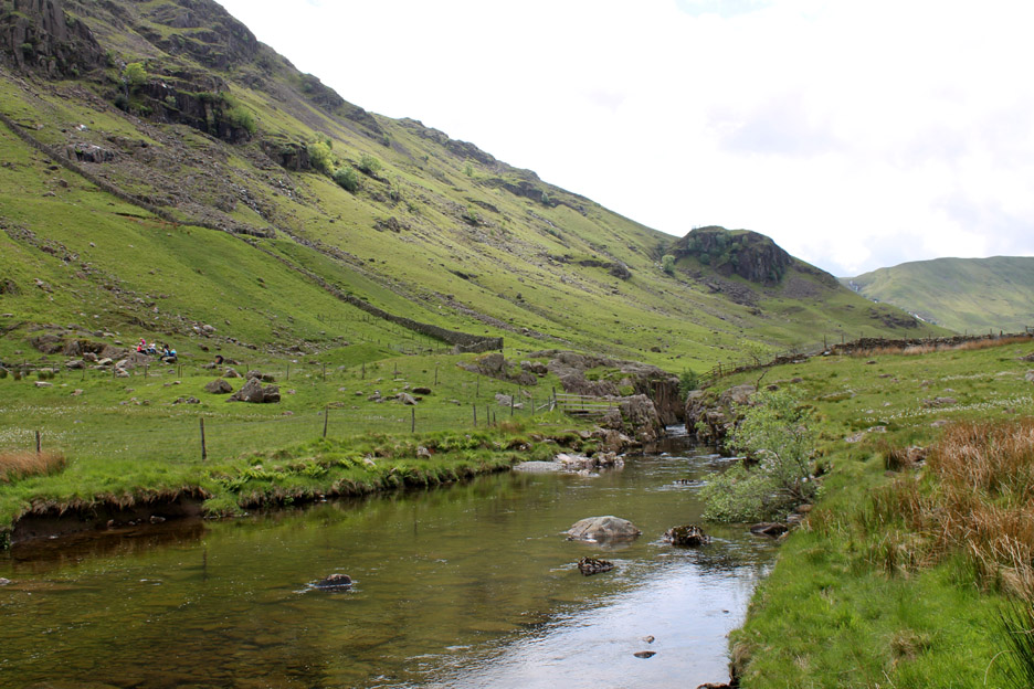
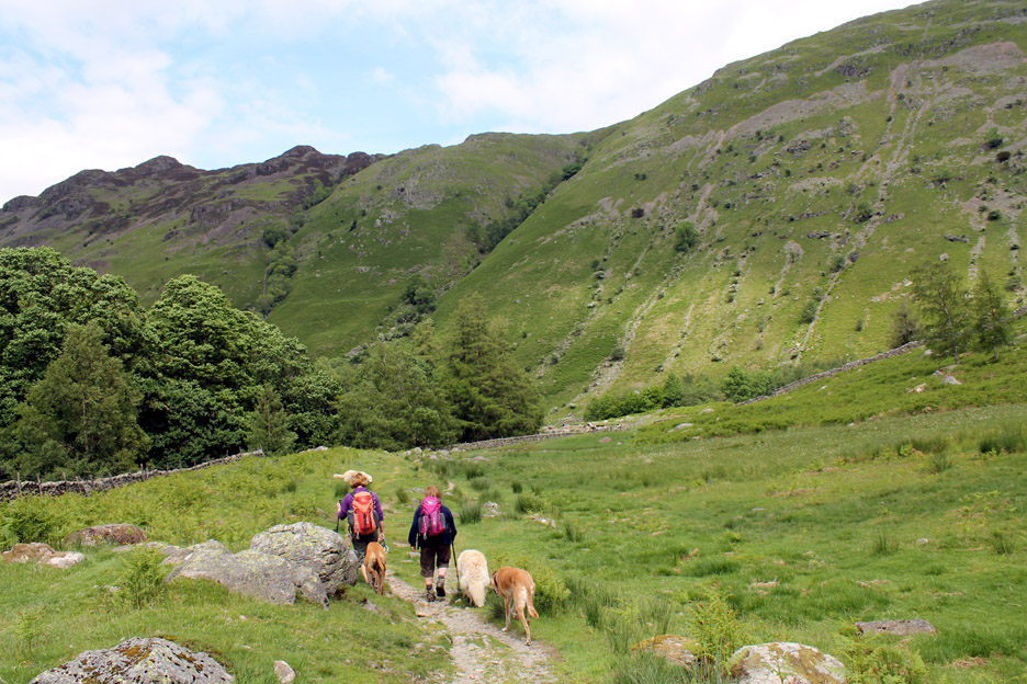
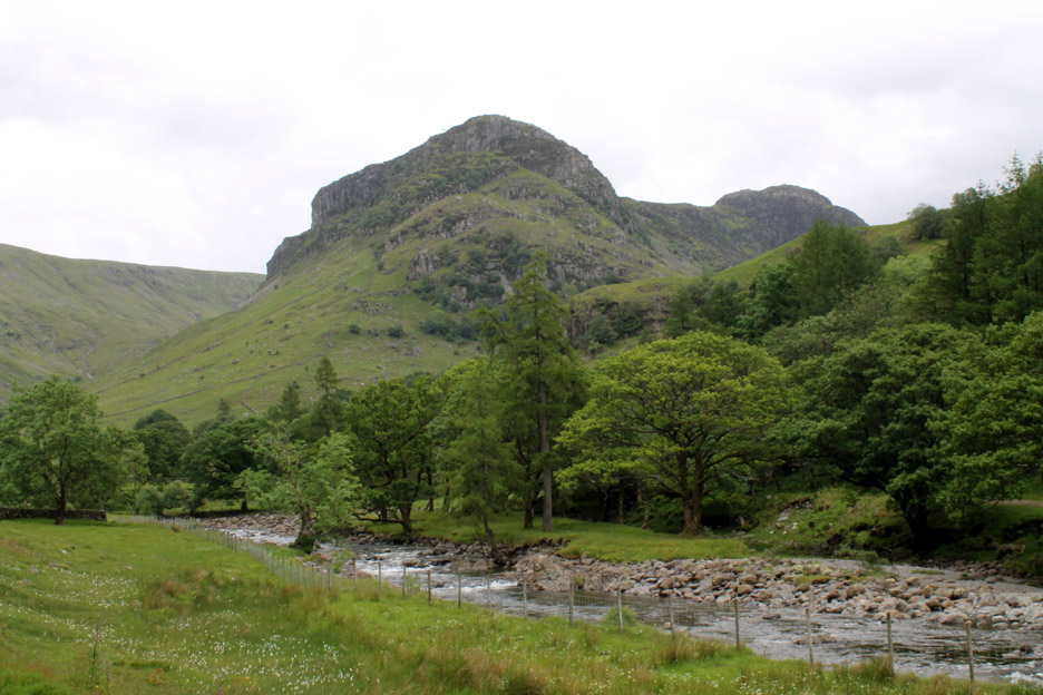
Bowfell is closer now but still a long way away . . . the valley after all in not called Langstrath (the long valley) for nothing.
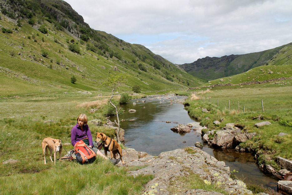
Ah the sun's come out and we find a dry area for lunch. Unfortunately the extra water in the river after yesterday's rain has dropped the water temperature, the fact that the sun went in before we finished lunch, the wind had a definite chill and it was much cooler today than when we swam here before all led to us losing heart and passing on a swim today . . . favouring a return on a warmer day to this lovely location.
We couldn't cross the river at Black Moss Pot without removing our boots so our return trip was a back-track of our outward route.
A slight diversion onto the grass meant we passed close to this large display of Cotton Grass just reaching maturity.
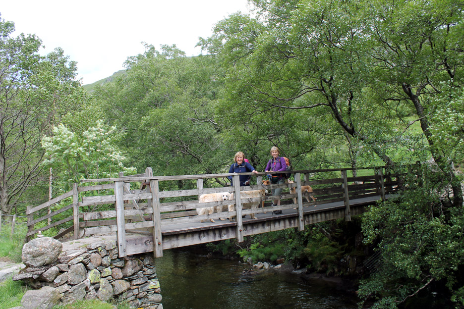
To vary the route slightly we crossed the bridge near the foot of the valley . . .
. . . and continued on down the opposite bank, heading for Greenup Gill and the memorial footbridge at Smithymire Island.
A last look back at Bowfell and the diminutive Rossett Pike ridge leading up to it.
A rich green larch hangs over the river at the head of the next set of cascades.
The Langstrath Beck meets the Greenup Gill and together they head on down under the combined name of Stonethwaite Beck. The young lads from the family opposite have just enjoyed a cool swim in the deep pool hidden in the ravine.
A gentle stroll back to Stonethwaite now on the opposite bank from the one we used on the outward part of our walk.
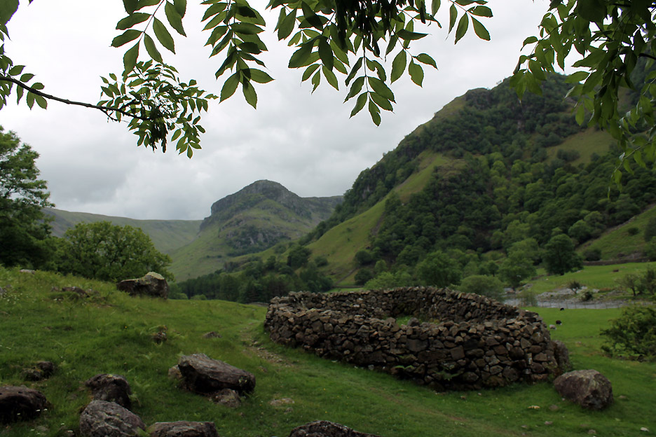
The sheepfold and Eagle Crag . . . always a classic photo opportunity . . . better with a more colourful sky.
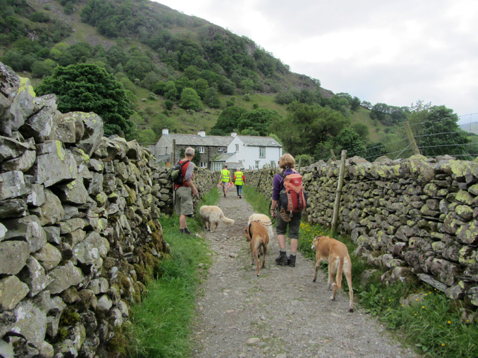
The marshalls from the school fell race have been collecting in the flags and pass us as we approach the houses of Stonethwaite once more. - - - o o o - - -
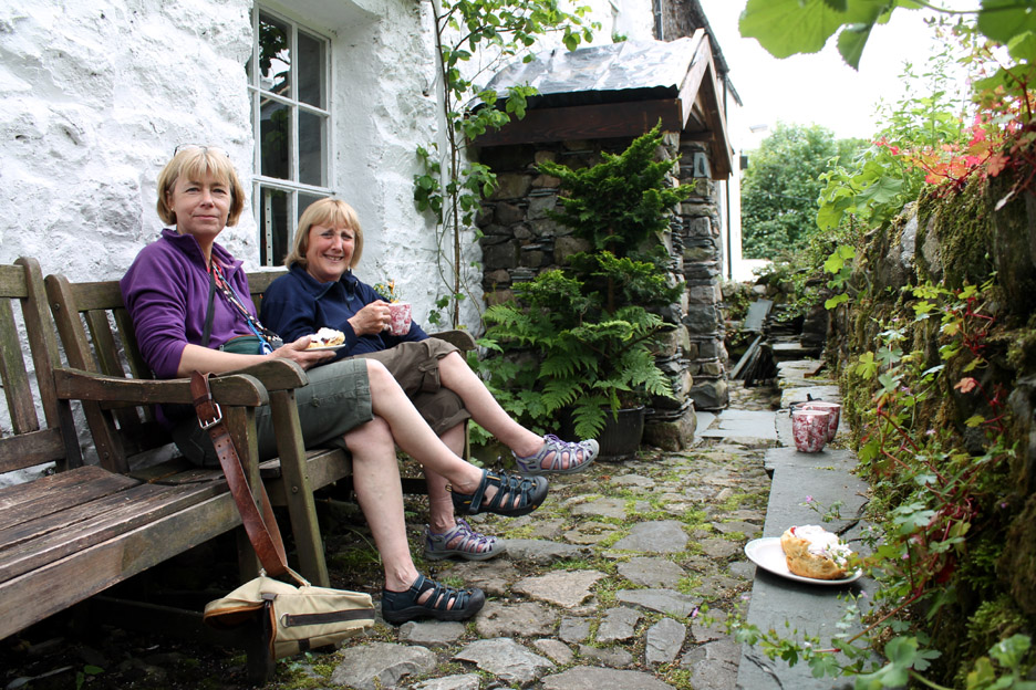
Time for a gentle re-hydration . . . well suited to this gentle walk out and back, half the length of the "long valley" Many thanks to the Peathouse Tearooms . . . one we have been meaning to visit for some time but never found open before. Our walks normally end much later than this ! - - - o o o - - -
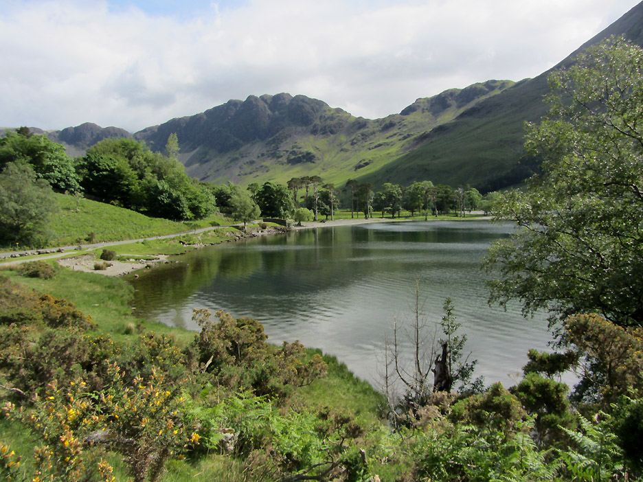
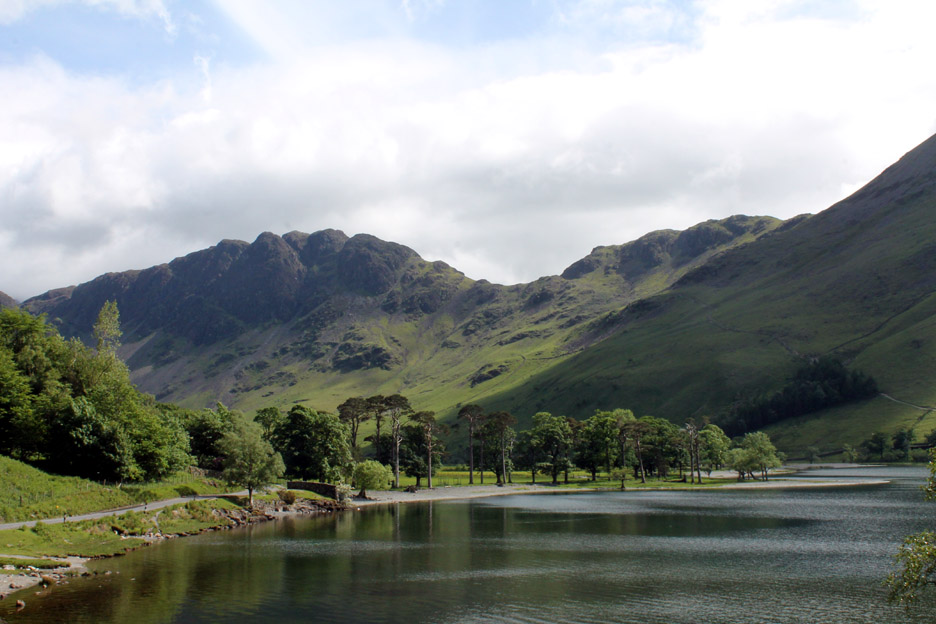
As is often the way . . . the weather improved as the afternoon progressed and as we left the central fells. We stopped at Honister for a little light retail therapy and drove home past the Buttermere Pines.
Very pleasant afternoon light at the head of Buttermere at the end of the afternoon. - - - o o o - - - |
Technical note: Pictures taken with either Ann's Canon Sureshot SX220, or my Canon 1100D SLR digital camera. Resized in Photoshop, and built up on a Dreamweaver web builder. This site best viewed with . . .a little Honister Slateware in the bag. Go to Top . . . © RmH . . . Email me here Previous walk - 10th June 2013 - The Willsher's Darling Fell A previous time up here - Thursday 2nd July 2009 Four go for a Swim Next walk - 9th July 2013 - Fishers Ullswater Trip
|