![]()

Remember: Press F11 for a full
screen view of this page.
|
|
|
Remember: Press F11 for a full
screen view of this page. |
| " High Street and Mardale Ill Bell " Date & start time: Saturday 1st June 2013, 12 noon start. Location of Start : The final car park, Haweswater, Cumbria, Uk ( NY 469 107 ) Places visited : Rough Crag , Long Stile, High Street, Mardale Ill Bell, Nan Bield, Small Water. Walk details : 6.5 mls, 2150 ft of ascent, 6 hours. Highest point : High Street 2,718ft - 828m Walked with : Jo, Ann and the dogs, Amber, Harry and Bethan. Weather : Sunshine and summer skies. |
" High Street and Mardale Ill Bell " at EveryTrail [ Alter the settings to zoom or change the Map, use Everytrail to download the Gps route ] |
|
Both Jo and ourselves are nearing the end of our respective Wainwright Rounds and neither of us have been up Mardale Ill Bell for a long while so this Saturday we drove over to the head of Haweswater for a classic walk via Rough Crag, High Street and Mardale's Ill Bell.
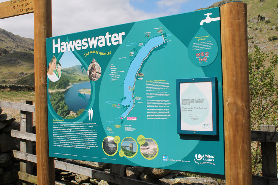
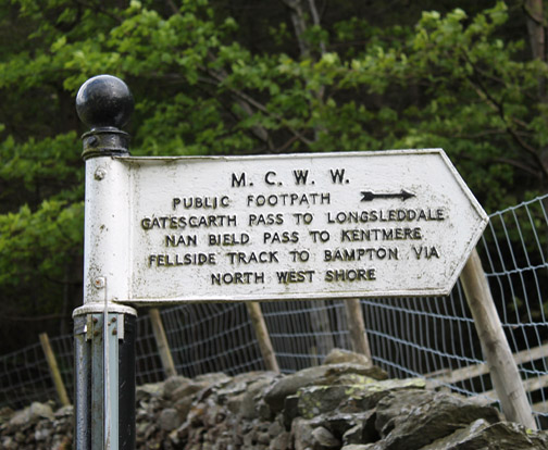
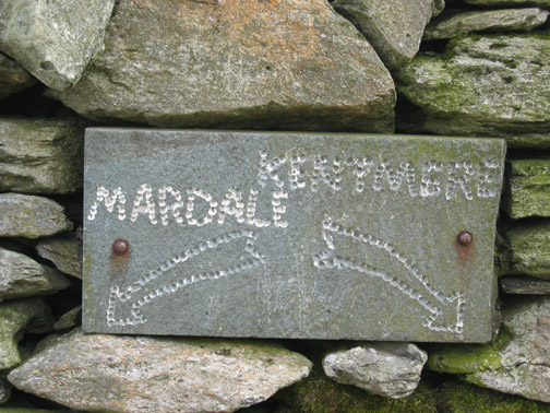
A bright new sign at the car park to brighten the start of the day. Apart from advocating the benefits of the water, the sign also advertises the lakeside path on this side . . . with the note that the path is closed ! - - - o o o - - - But I'm getting ahead of myself . . .
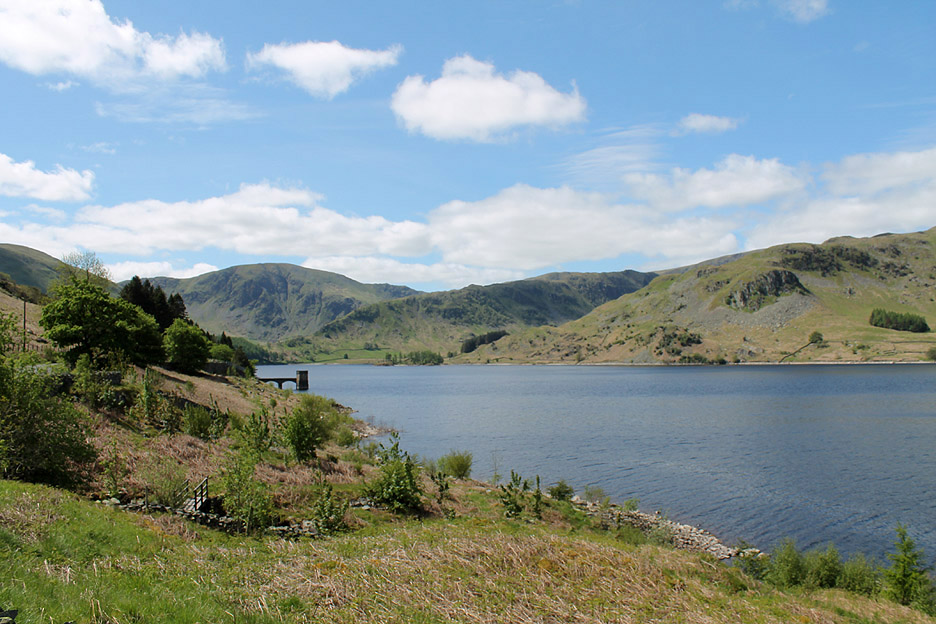
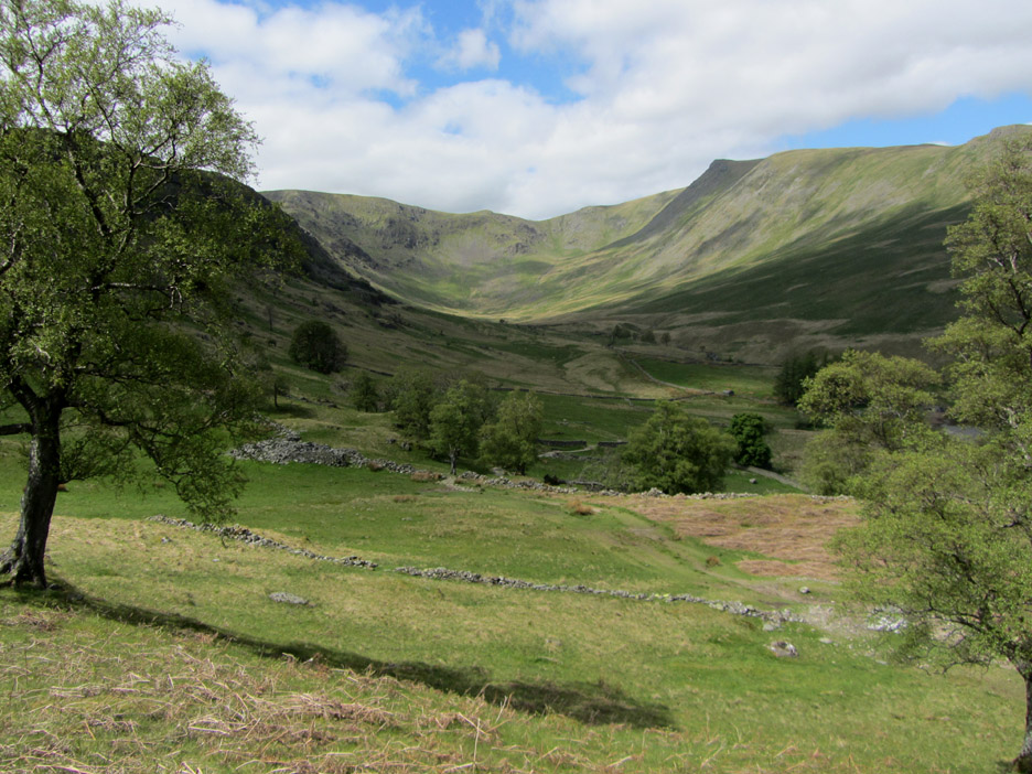
The view up the valley from the road as we approach the head of Mardale.
The classic view across to the tree covered 'Rigg' and the valley of Riggindale to the right. It's a great weather day . . . click here or on the photo above for a larger Loweswatercam annotated panorama
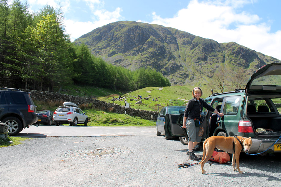
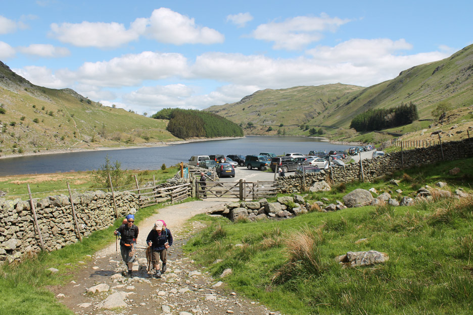
Looking back at the car park as we start our walk.
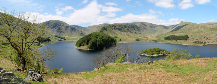
The view that greets us as we climb up onto The Rigg . . . the tree covered promontory at the start of the Rough Crag ridge. [ Up to the time of the flooding of the valley, many of the houses of the small village, including the Church, would have featured in this view.]
Looking over to Speaking Crag basking in the sunshine.
The valley of Riggindale. This was once home to the Lake District's last eagle but I don't think he has been seen for quite some time.
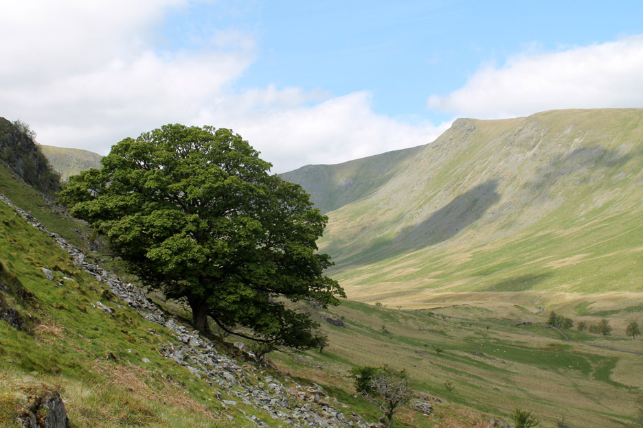
A fine oak tree now in full leaf . . . opposite is the recognisable craggy outline of Kidsty Pike.
The full picture . . . thanks to the lady in red for adding the dash of colour. Click here or on the photo above for a larger Loweswatercam annotated panorama
Time to start the climb. Take it steady as it is a warm day.
Gatesgarth takes you over to Longsleddale where we climbed Kentmere Pike in the snow just six weeks ago. Nan Bield is for travellers who wish to travel over to Kentmere village and on towards Kendal away to the south.
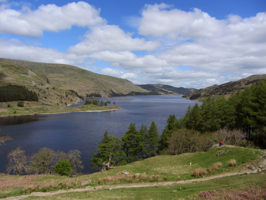
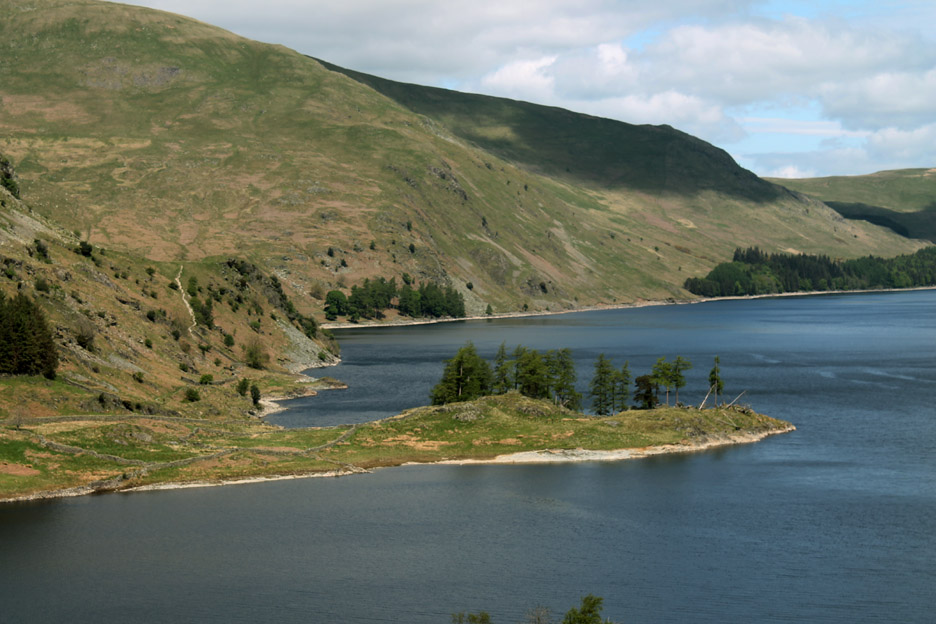
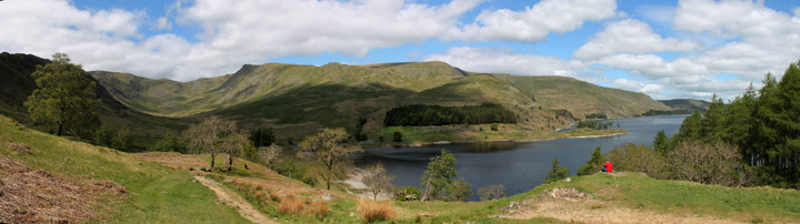
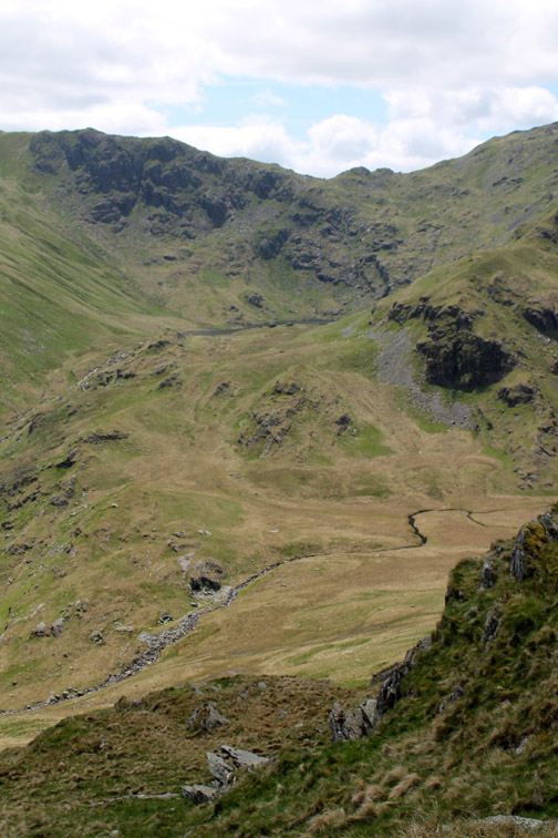
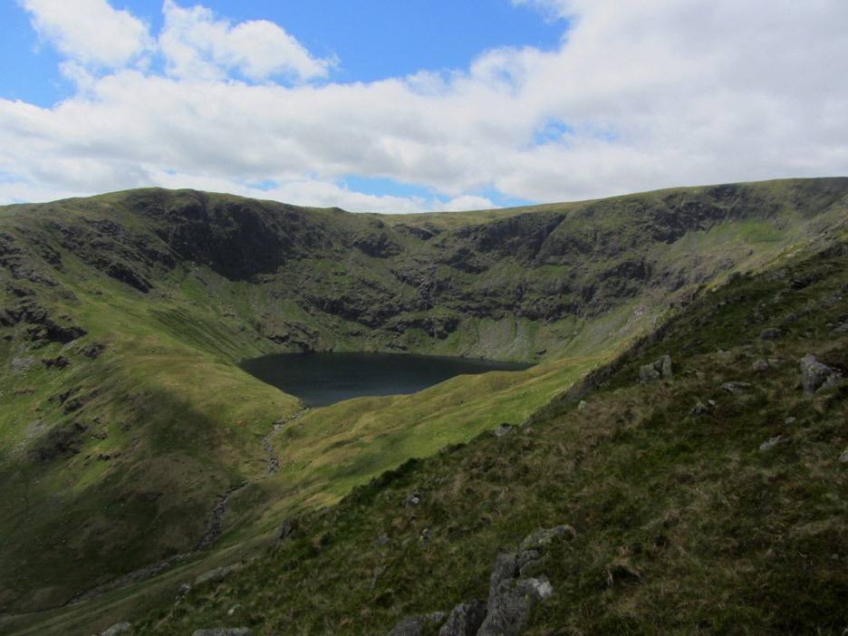
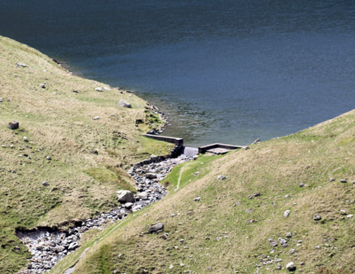
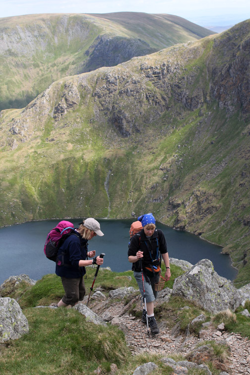
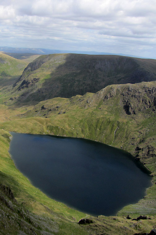
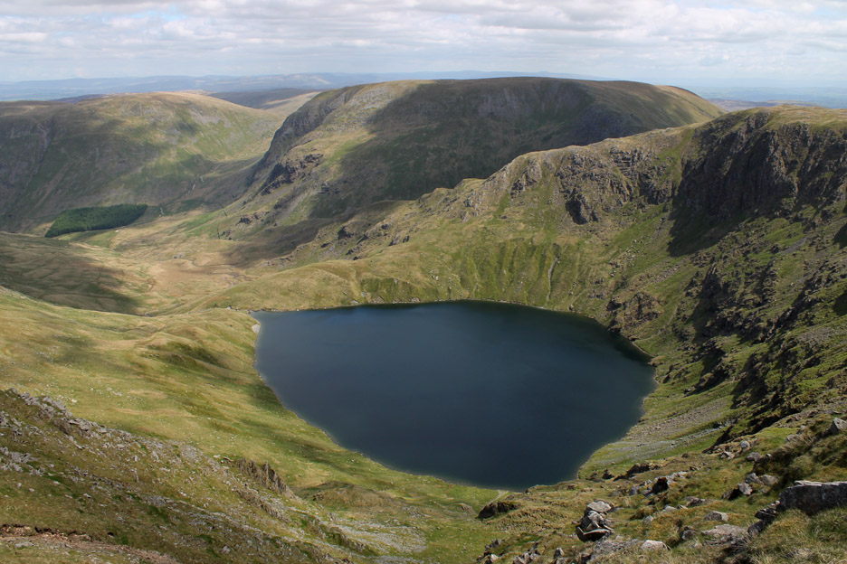
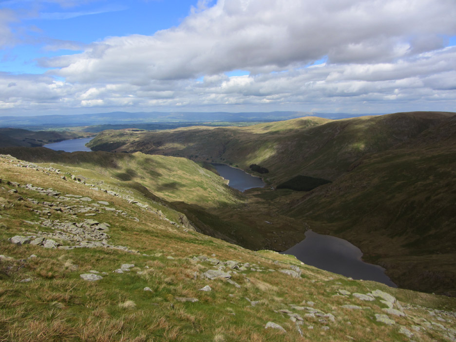
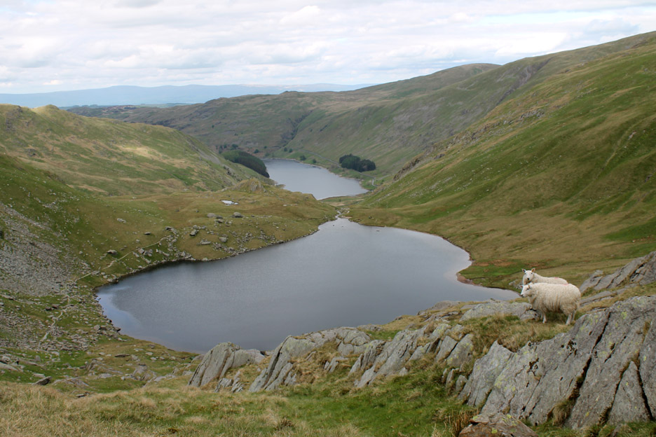
Blea Water . . . blue water . . . one of the Lake District's deepest small lakes nestles in a glacial valley enclosed by the two summits of Mardale Ill Bell and High Street. The lake is a few feet higher than its natural level as it has been dammed in years past to provide an extra head of water to help power the mines and quarry that exist just a little further down the fell side. - - - o o o - - -
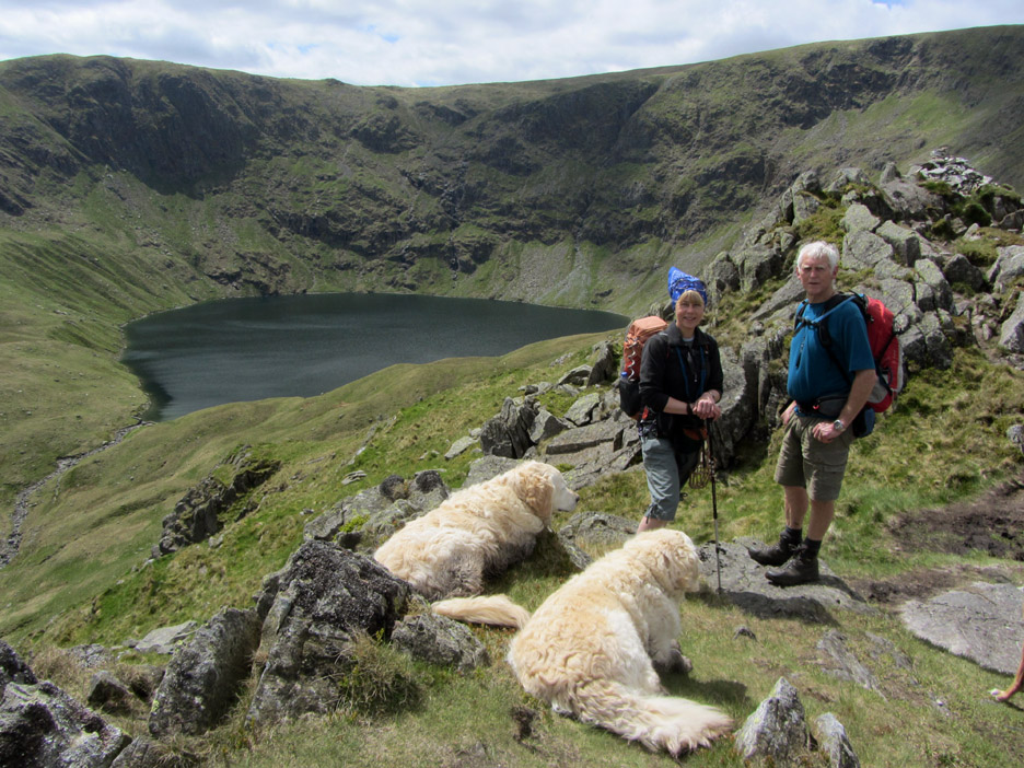
A brief photo stop for Jo and I on the way up Rough Crag.
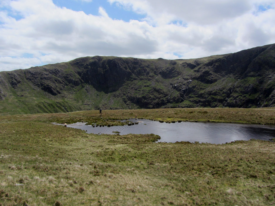
Caspel Gate Tarn . . . on a patch of level ground between Rough Crag and Long Stile. That's me over there.
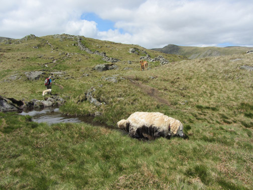
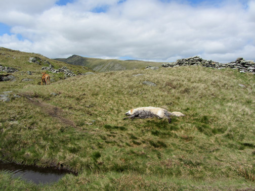
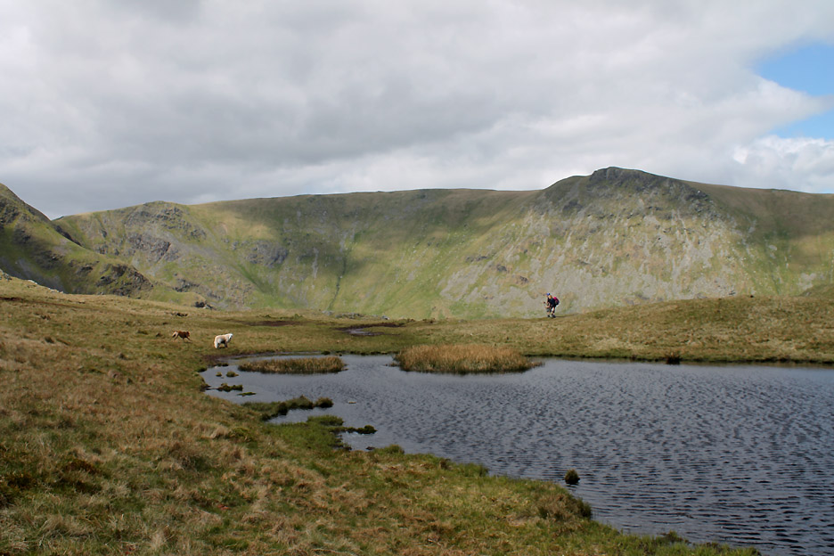
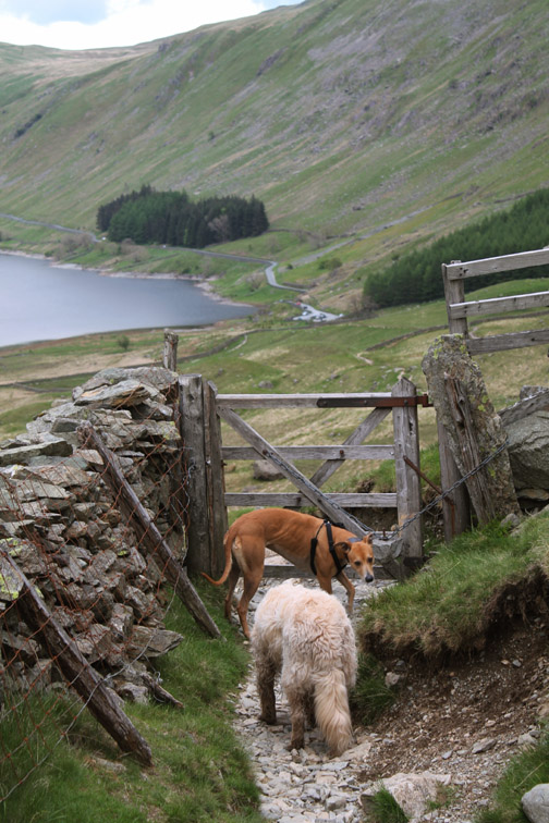
The dogs have enjoyed another dip in the water and it is time to go back across to meet up with the girls before they disappear out of the picture.
Looking back at the same tarn. The two figures down below are fellow walkers on the way down . . . not Jo and Ann on the way up.
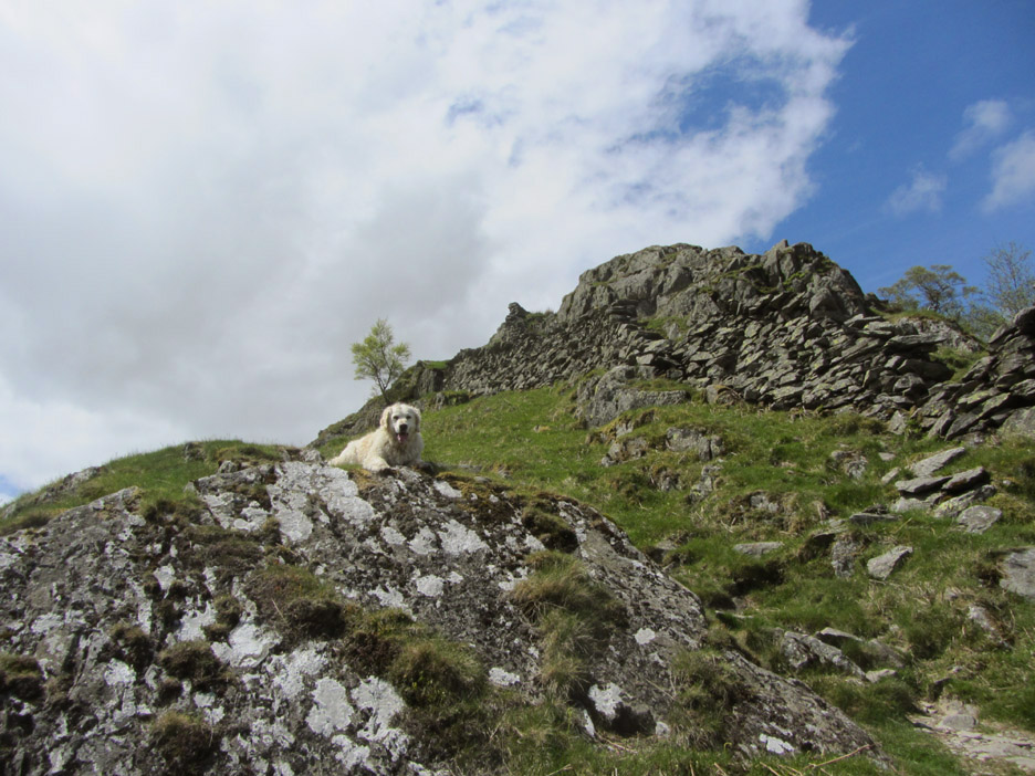
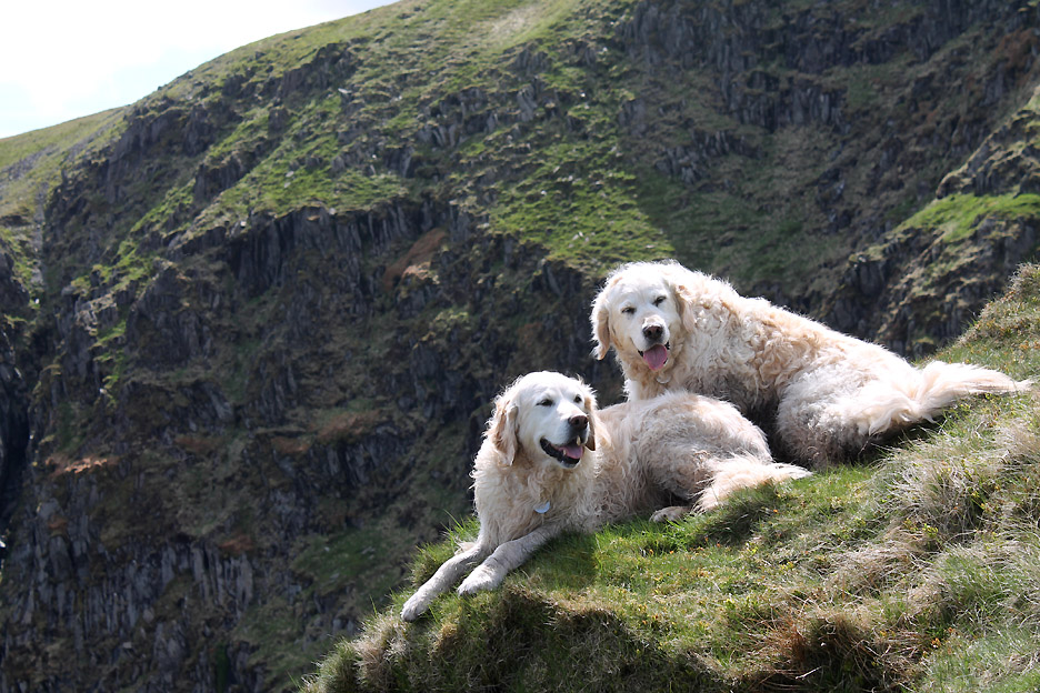
" Mountain Dogs "
After all . . . it's a long way down to Blea Water now.
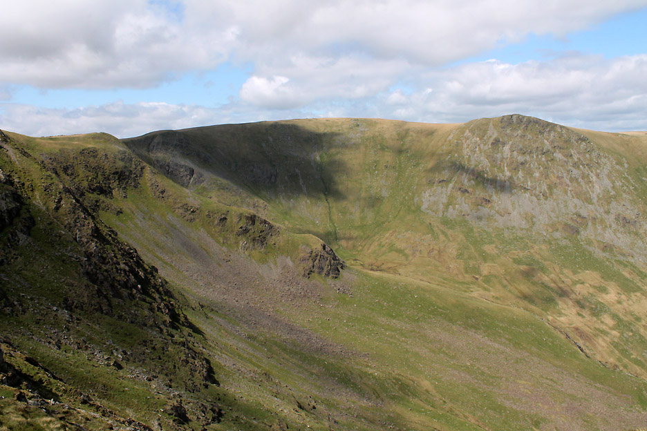
On the other side . . . Sale Pot . . . the head of Riggindale Beck underneath the crags of Short Stile,Twopenny Crag and Kidsty Pike.
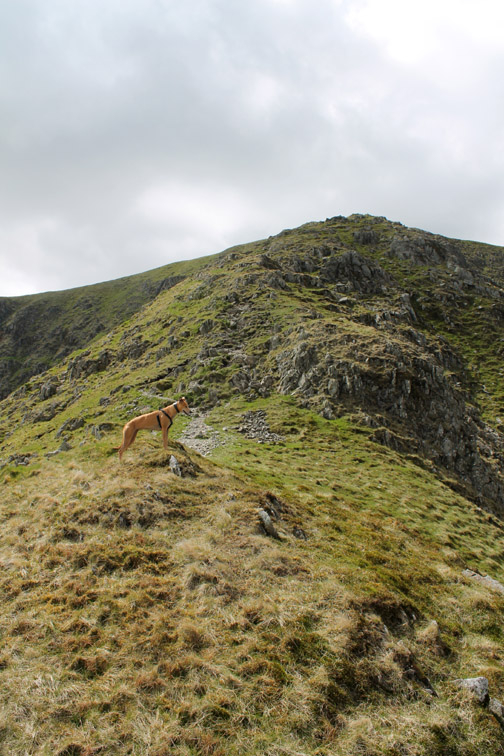
One of the nicest ascent routes in Lakeland . . . even more so on a nice day like this.
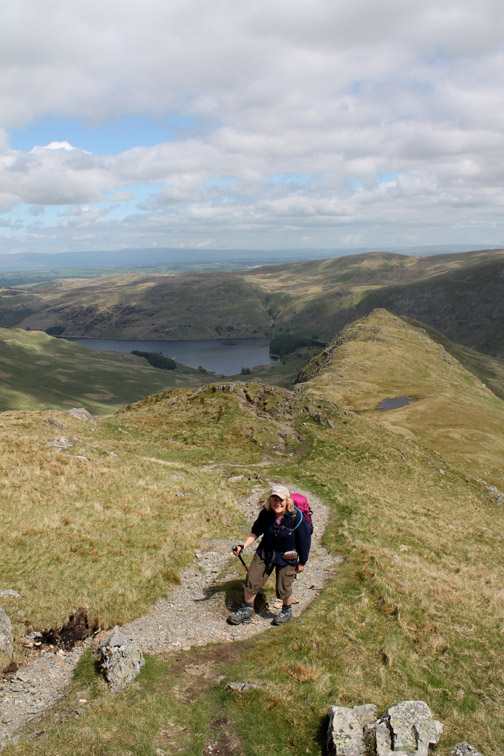
Ann contemplating the view after the successful climb.
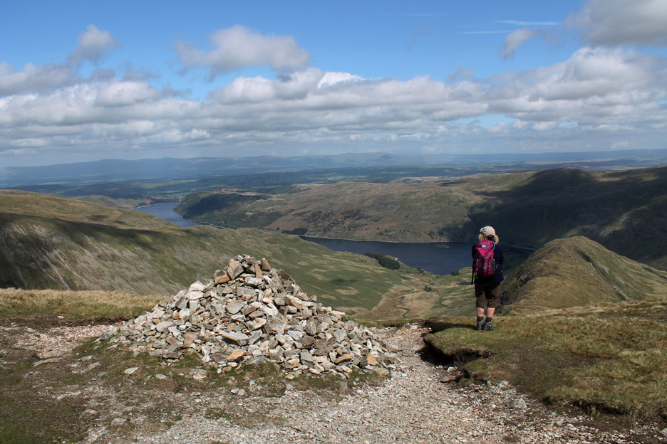
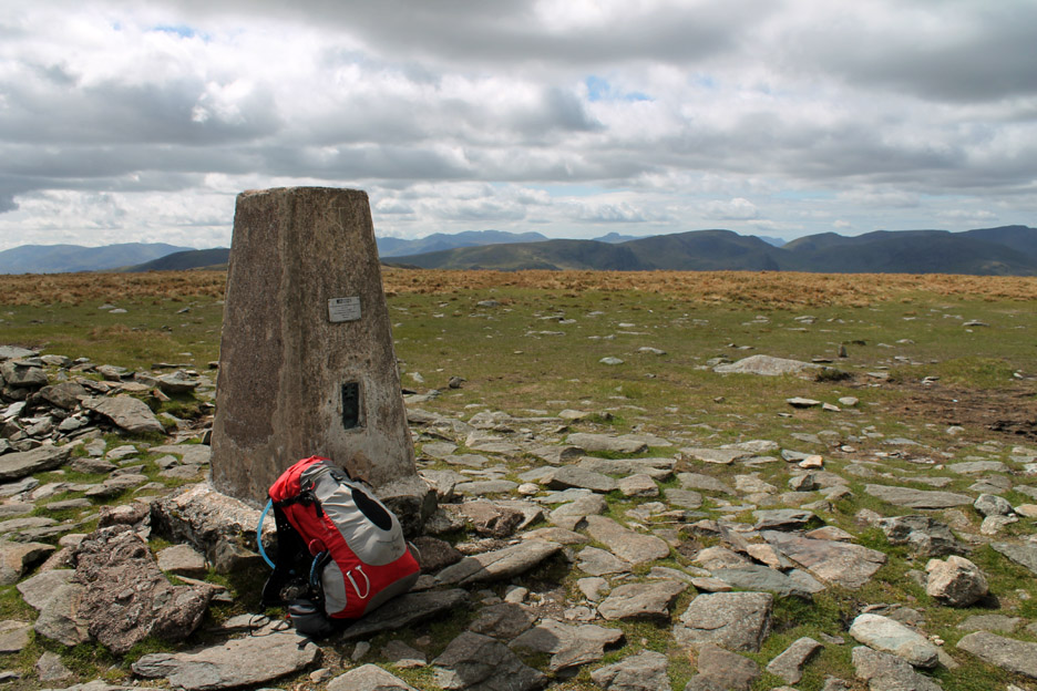
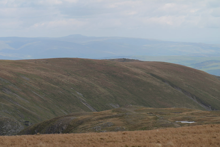
'Tis but a short wander across to the trig point at the summit of High Street.
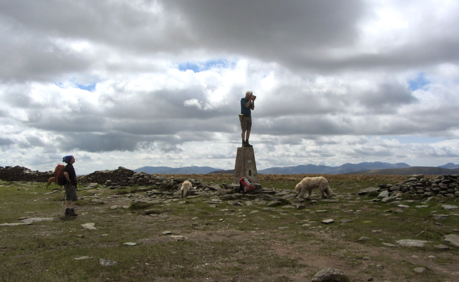
" What are you doing up there ? "
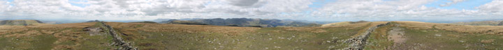
Well . . . the view at ground level is a little limited due to the flat nature of the summit plateau so I risk life and limb to bring you a panoramic photo from high above the summit. Click here or on the photo above for that Loweswatercam 360 degree annotated panorama
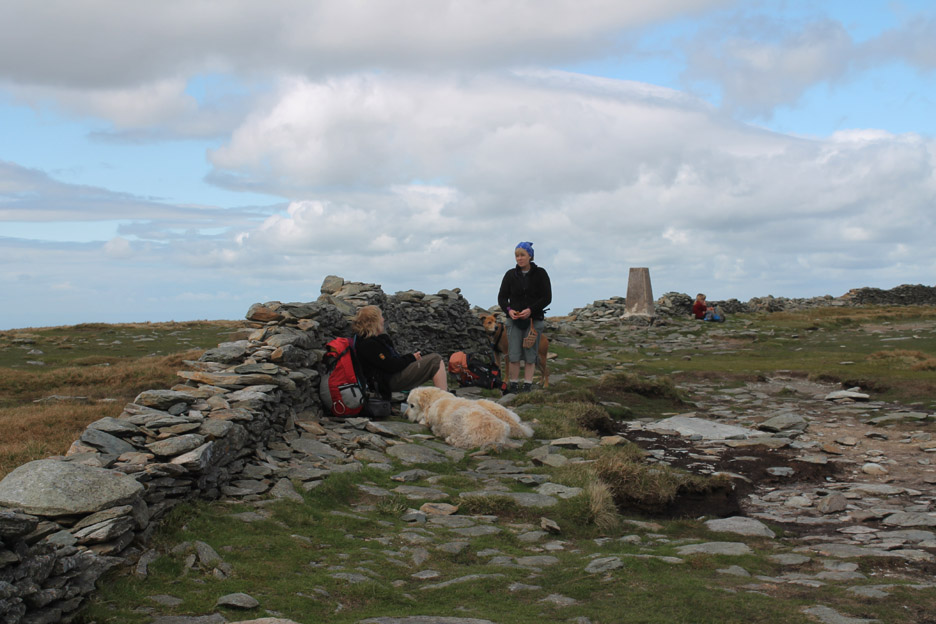
The sun has gone behind the clouds and the breeze is cooler all of a sudden so we sit behind the wall, as thousands have done before, in order to enjoy some shelter for our lunch.
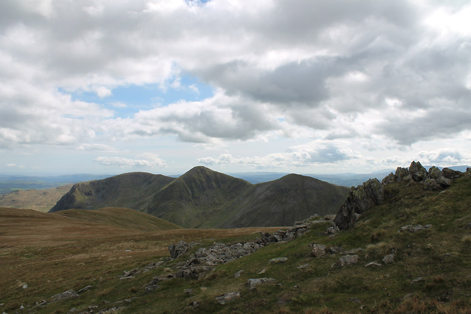
Jo and Ann enjoy the view through a gap in the wall. The tall pinnacle opposite is Thornthwaite Beacon . . . many a lunchtime we have sheltered over there too !
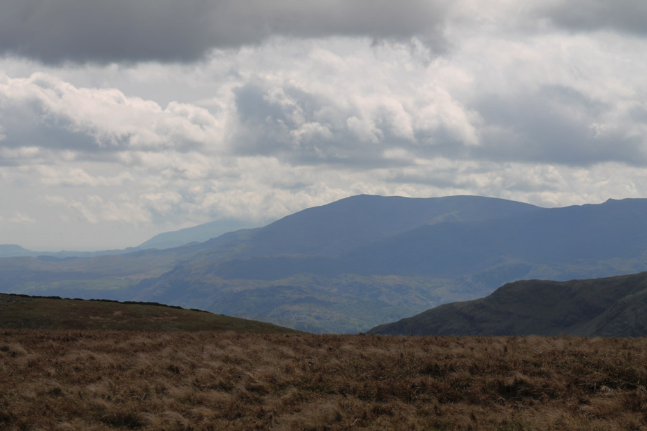
Zooming in we can see Wetherlam and distant Black Combe.
Panning round to the high summit of Helvellyn and the more pointed Catstycam.
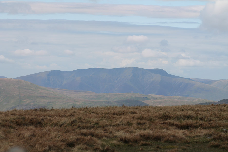
Blencathra, its front and valleys rather lost in the distant haze . . . Sharp Edge is seen in profile on the right.
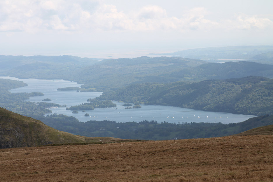
Looks a grand day for a sail on Windermere.
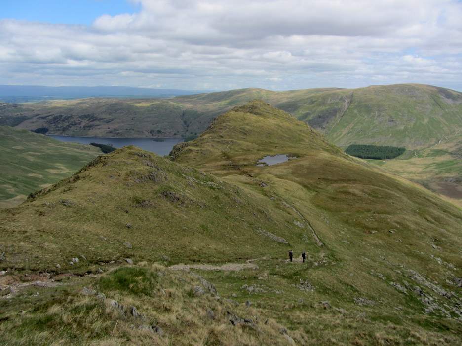
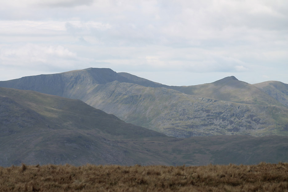
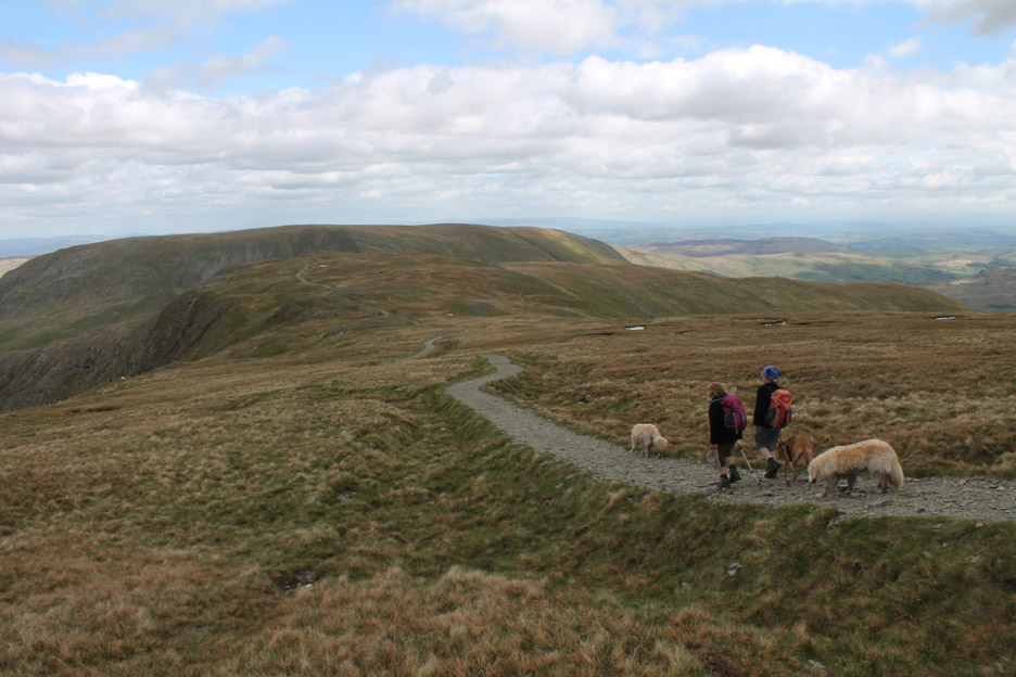
The way ahead . . . down the path to Mardale Ill Bell but looking ahead we can see Kentmere Pike and beyond that is Ingleborough, one of the Yorkshire Three Peaks.
Join the motorway . . . don't get me started on this one again !
Mum and offspring . . . grazing high above Haweswater.
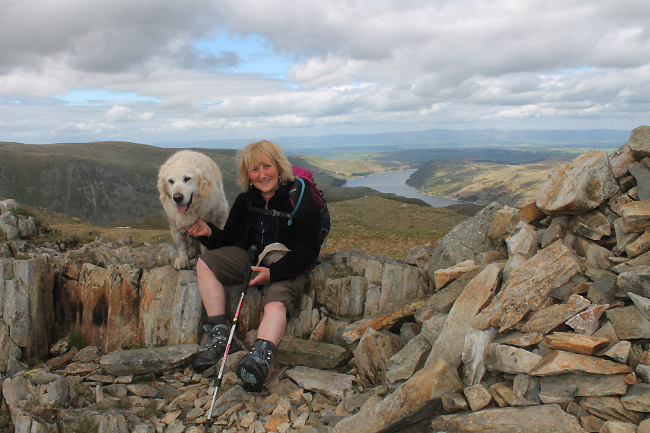
Harry joins Ann on Mardale Ill Bell summit.
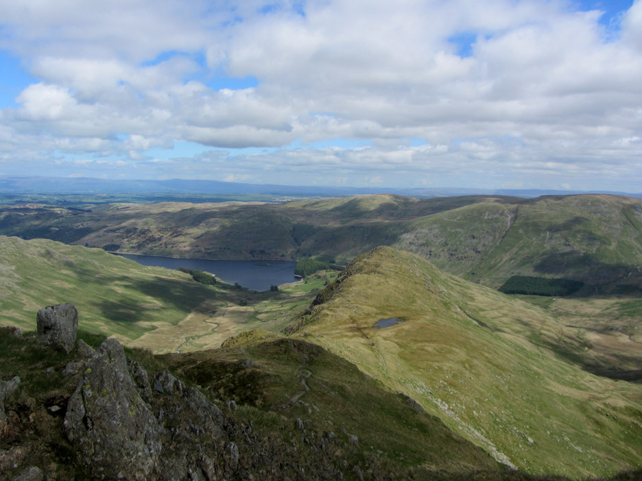
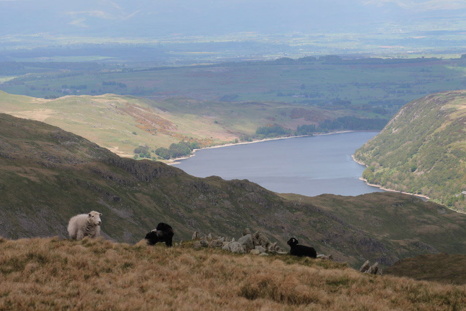
The view down to Haweswater is enhanced by the dappled light formed by the moving clouds.
To our right, the other Ill Bell on the Kentmere Round . . . the middle one with three summit cairns. We were up there just a week ago.
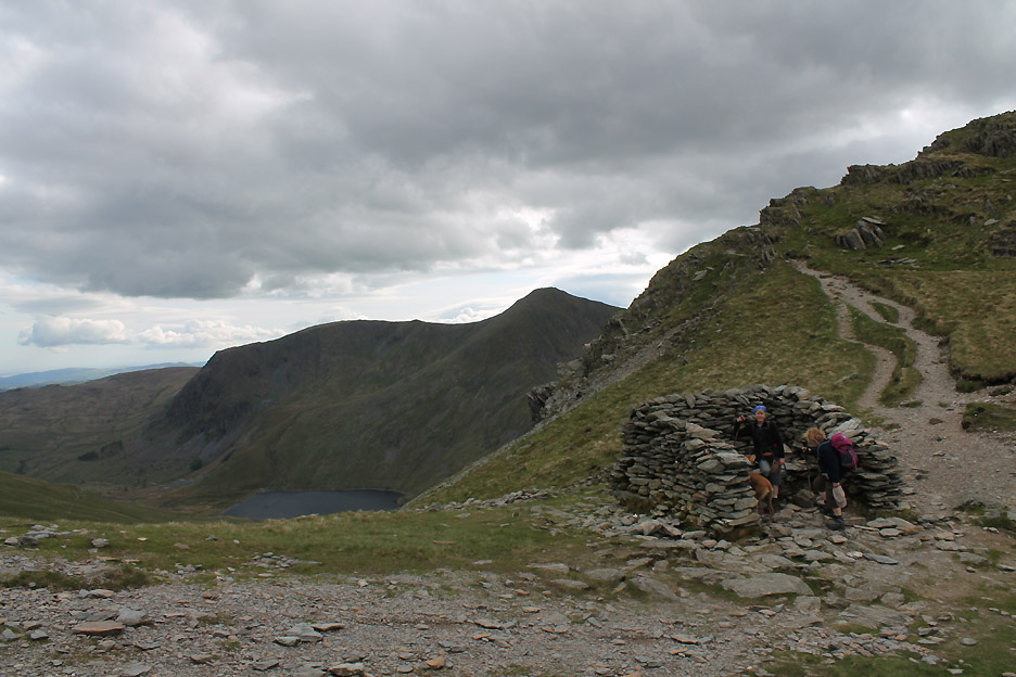
Nan Bield Pass and the recognisable three-sided shelter. In days of old the traveller could shelter here after the weary climb and as there's no roof his pony (if he/she had one) could get in and shelter too !
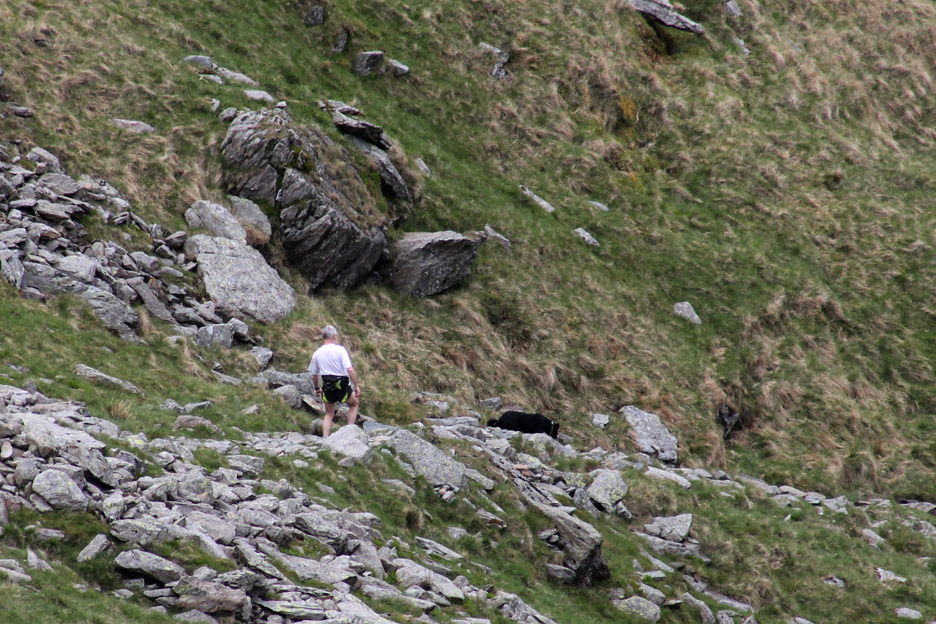
What a coincidence . . . I had left a message for Tony in the shop today . . . but he wasn't in work to receive it. He was out here, running on the fells with his dog . . . so the message was delivered first hand after all.
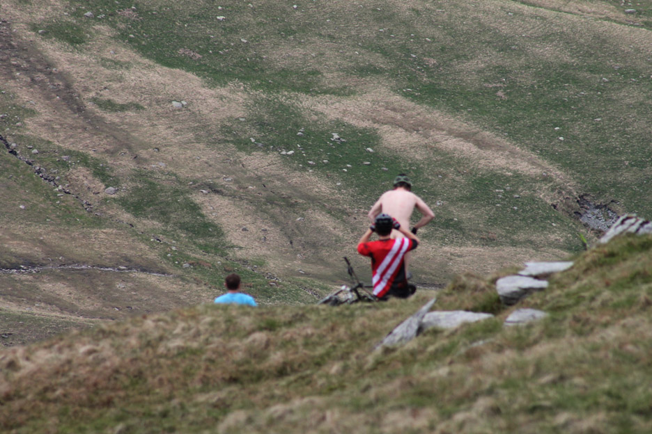
While we were on the pass there was a more unusual photo-shoot for one of these mountain bikers. Don't hold your cursor over the picture if you don't want to see his possible Facebook photo.
" He'll catch his death of cold if he doesn't put something woolly on ! "
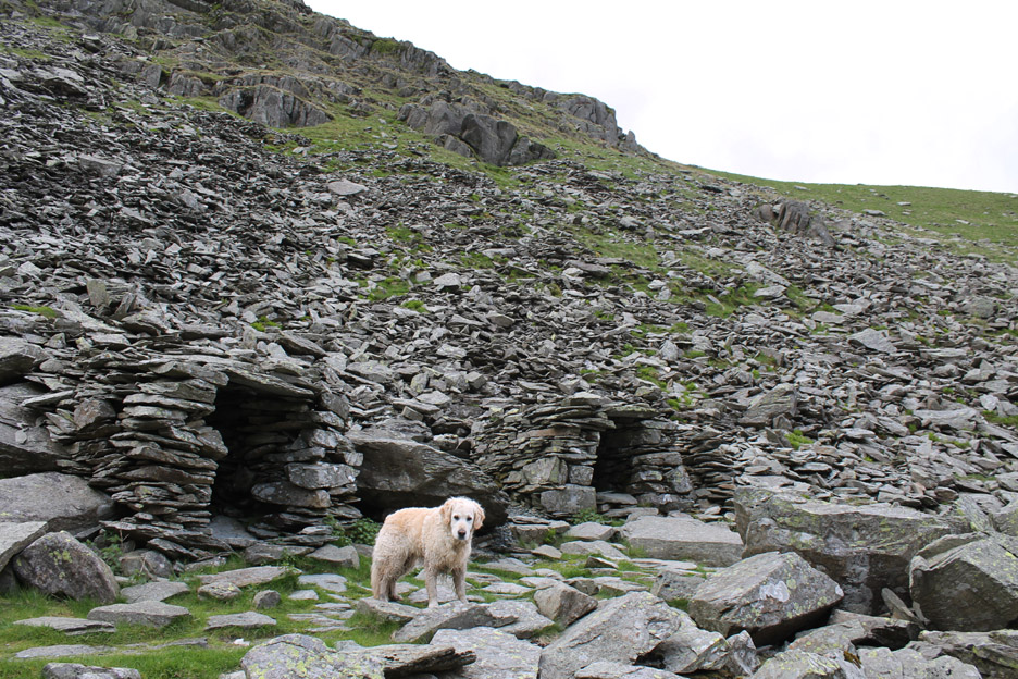
By the side of Small Water are two stone shelters built for quarry men or travellers of old . . . who knows.
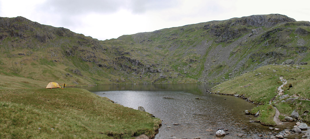
" Wild Camp " A tent is pitched over looking the lake and the guy was settling in with his family for a night out on the fells.
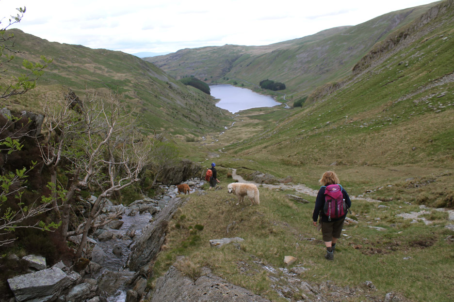
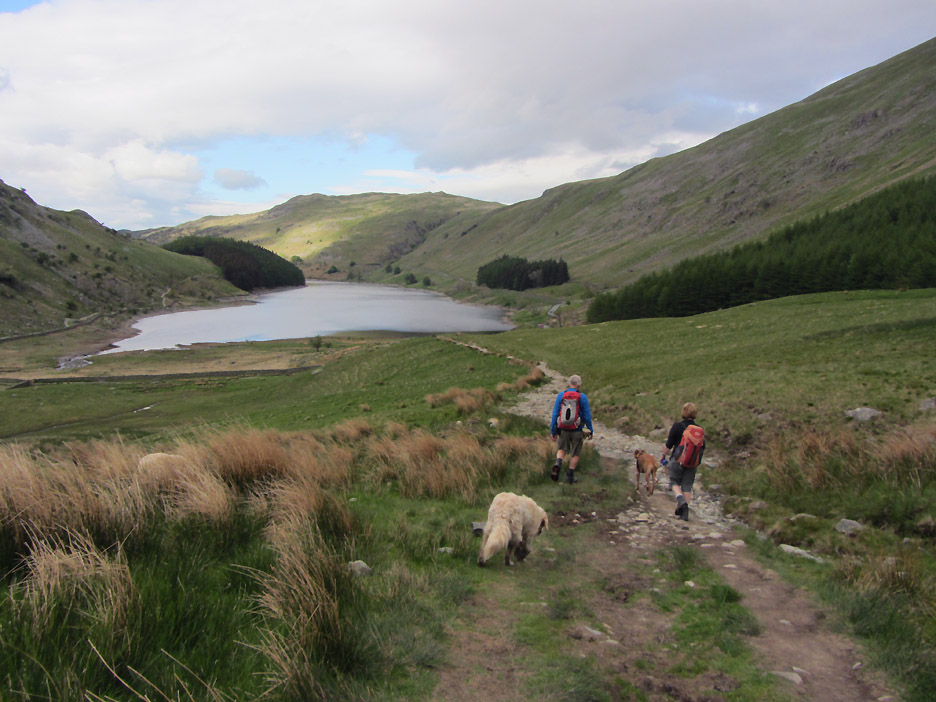
We made our way down alongside Small Water Beck . . . heading back to the car which was once again in sight.
Jo and I take the final path back to Mardale Head car park . . . Ann of course was taking the picture. - - - o o o - - - It is such a long way home so we'd better stop on the way back for something to eat ;o)
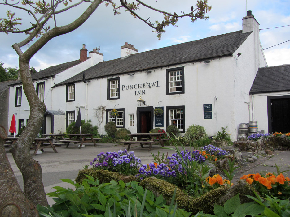
The road out of Haweswater passes the St Patrick's Well Inn at Bampton where we have eaten so well in the past . . . but it has closed, so the Punchbowl in Askham was our new choice for today . . . what a brilliant place ! It has had a chequered history over the last few years having opened, closed and changed management but now it is OPEN and serving excellent meals and fine ales . . . do call in if you're passing.
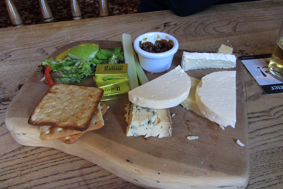
Our Sea Bass with a Thai sauce was an excellent main course and the cheese board a delight for After's. Compliments to the chef. - - - o o o - - - |
Technical note: Pictures taken with either Ann's Canon Sureshot SX220 or my 1100D SLR digital cameras. Resized in Photoshop, and built up on a Dreamweaver web builder. This site best viewed with . . .a voucher to eat at The Punchbowl again. Go to Top . . . © RmH . . . Email me here Previous walk - 29th May / 2nd June 2013 - Hen Comb and Holme Woods A previous time up here - 31st July 2004 Rough Crag, a Wainwright and OFC walk Next walk - 5th June 2013 - Hart Crag and the Priest Hole
|