![]()

Remember: Press F11 for a full
screen view of this page.
|
|
|
Remember: Press F11 for a full
screen view of this page. |
| " Yoke, Ill Bell and the Romans " Date & start time: Saturday 25th May 2013, 11.30 am start. ( NY 412 027 ) Location of Start : Roadside near Troutbeck Church, Ambleside, Cumbria, Uk. Places visited : Garburn Road, Yoke, Ill Bell, Froswick, Roman Road back down into the Troutbeck Valley. Walk details : 10.5 mls, 2750 ft of ascent, 7 hours. Highest point : Ill Bell 2,476ft ~ 757m Walked with : Ann and the dogs, Harry and Bethan. Weather : A blue sky, summer day . . . and predicted in advance ! |
" Yoke, Ill Bell and the Romans " at EveryTrail [ Alter the settings to zoom or change the Map, use Everytrail to download the Gps route ] |
|
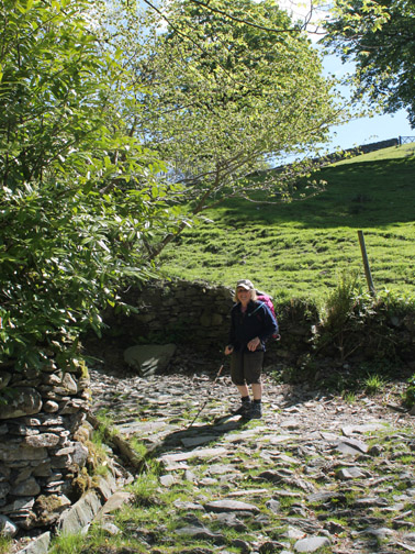
I think summer has finally arrived as Ann and I take a walk up the Garburn Road in the sunshine and take the track out onto the three fells on the western side of the Kentmere Round. A walk up to Yoke, Ill Bell, Froswick and back by the Roman Road should be a great outing for today.
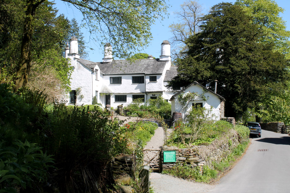
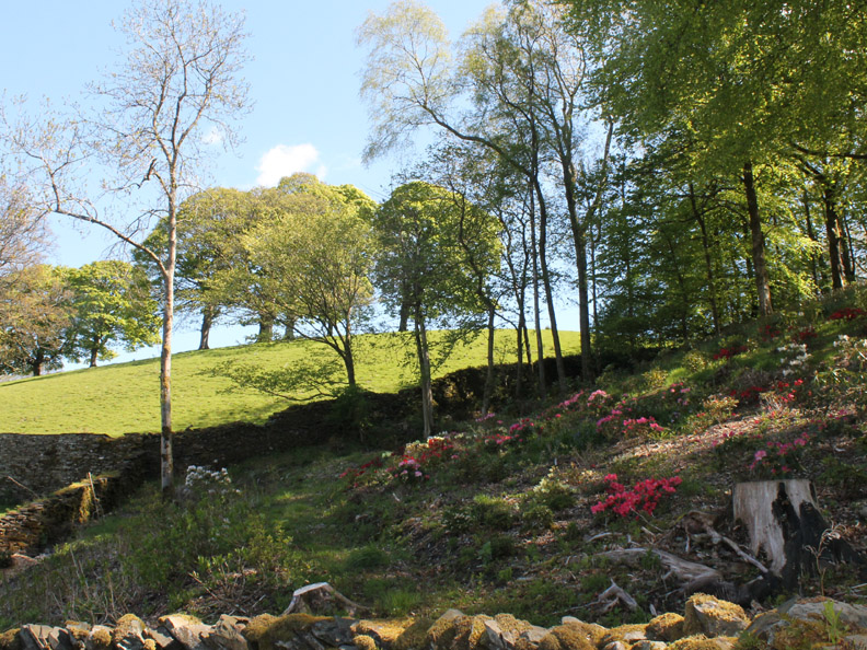
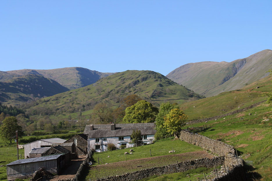
Passing Town End Farm before we turned down to park near the church. This is a 400 year old property now owned by the National Trust and open to the public.
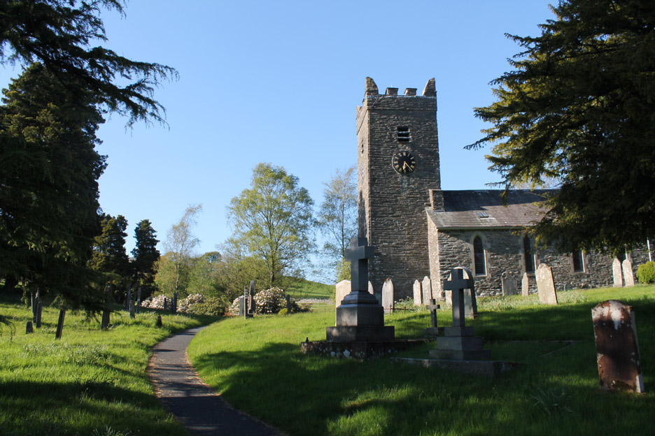
Managed to park in one of the last places on the side road close to the church.
Hold your cursor over the right hand picture to see the effect of seven years of growth.
This garden has been improved too with a few trees felled and the bushes starting to grow. Hold your cursor over the picture this time to see the two year passage of time.
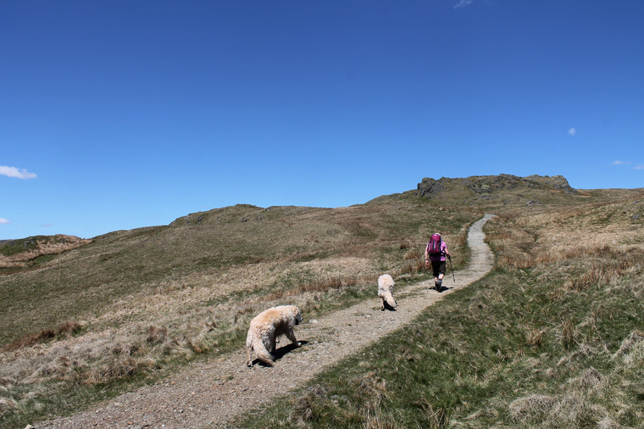
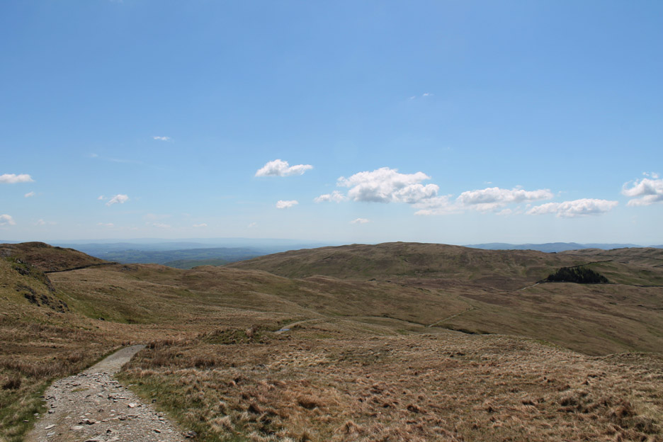
Out onto the open fell or at least out of the woodland. We have a clear view ahead now as the track climbs up to meet the Garburn Road which is a classic "green road", an unpaved track which provides high level crossings between the adjacent valleys of Troutbeck and Kentmere.
Click here or on the photo above for a larger Loweswatercam annotated panorama
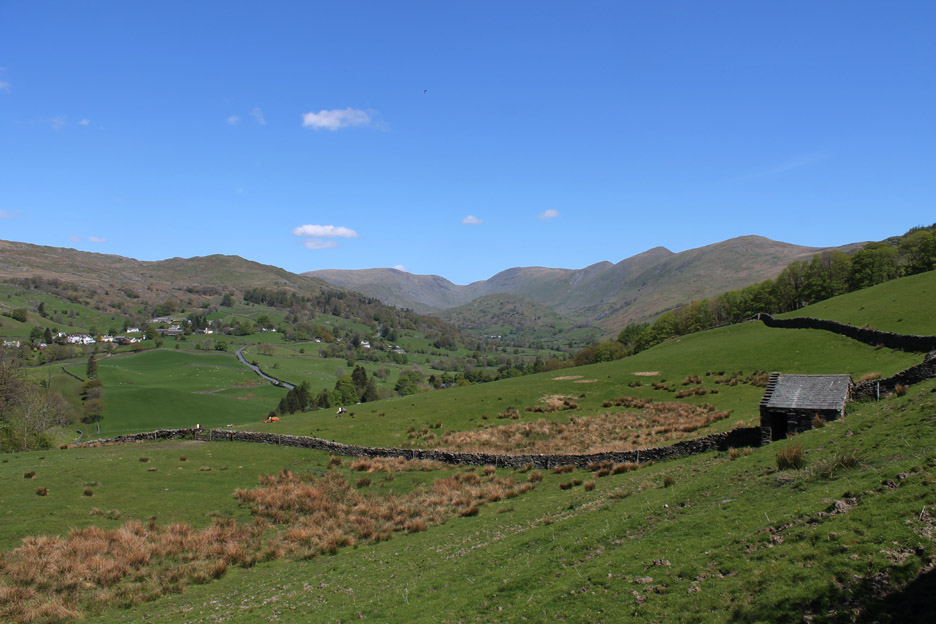
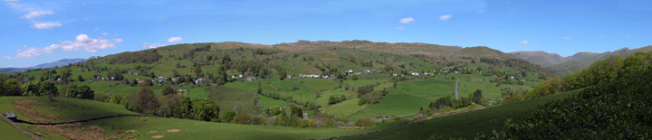
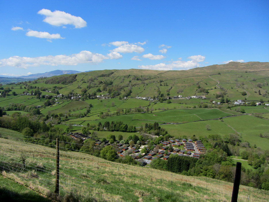
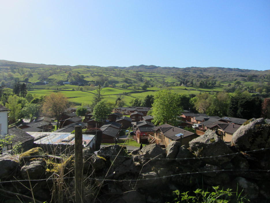
With the linear township of Troutbeck on the other side, we look down on the modernised Limefitt Park. What used to be a camping and caravan site with a few static caravans has now metamorphosised into a busy chalet park.
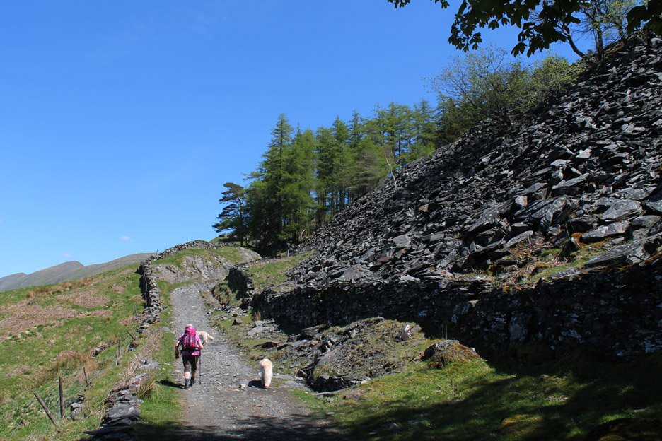
The "green road" is in fact "grey", especially as in many places the surface of the lane has been re-made recently. Here we are walking up alongside the old Sour Howes Quarries.
At the top of the pass we are up on wide open ground enjoying the full glare of the sun.
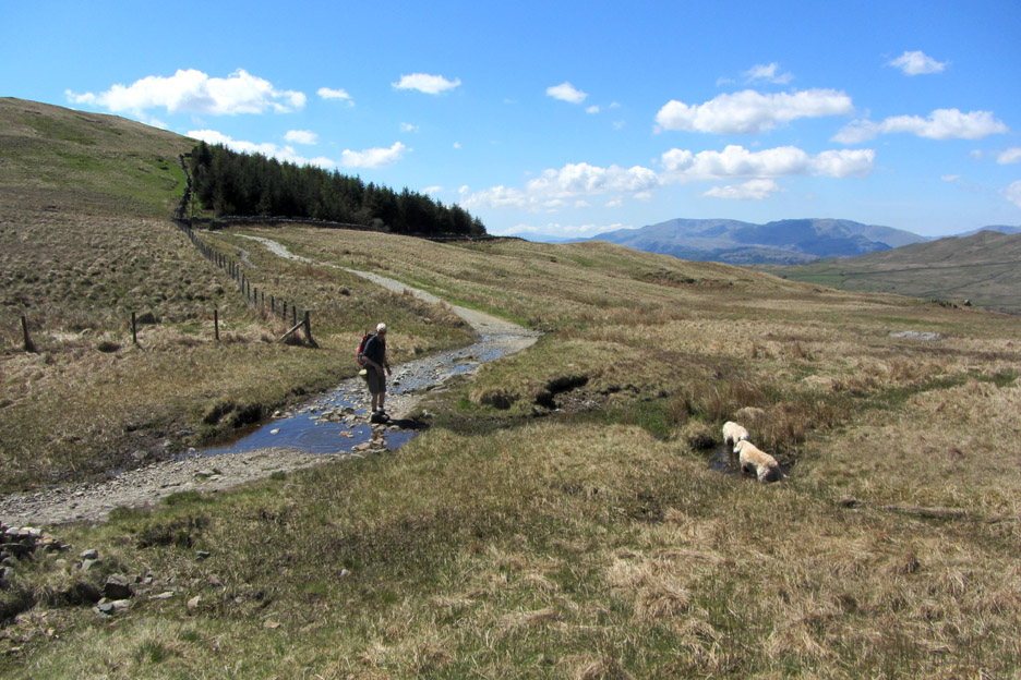
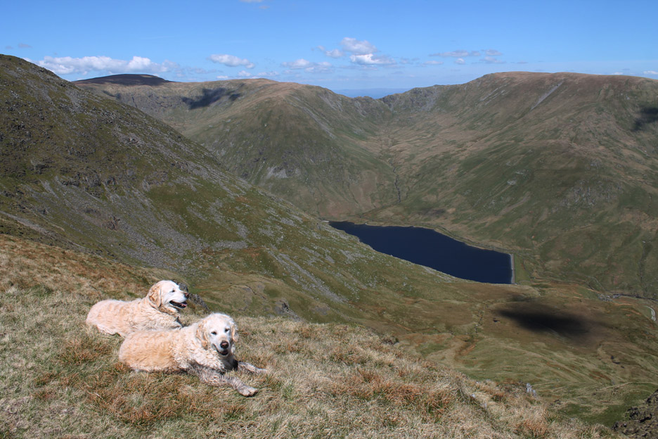
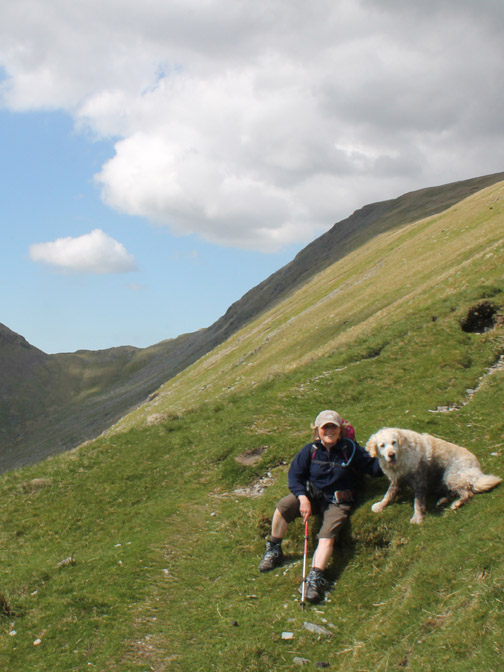
A brief stop for the dogs to re-hydrate.
Re-hydration personified.
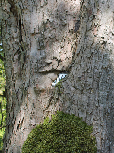
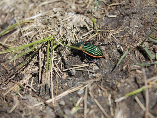
It could possibly be a Golden Buprestid Beetle . . . any ideas ?
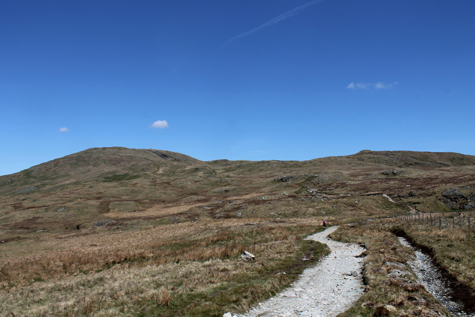
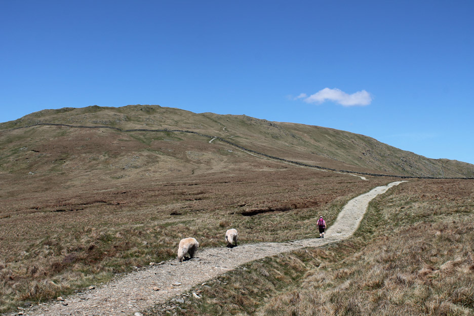
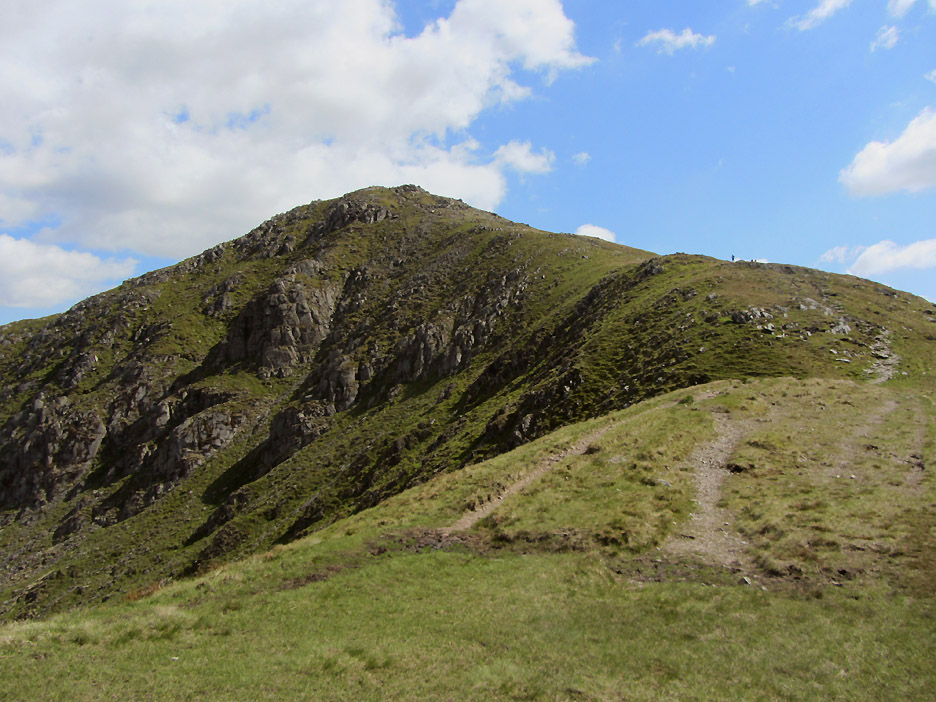
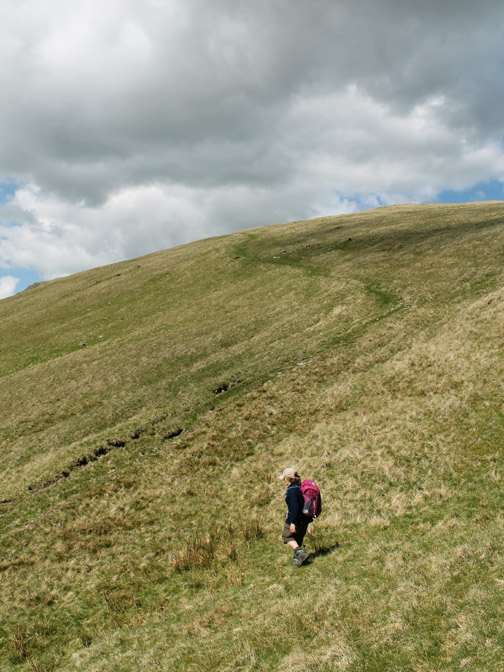
We leave the Garburn Road and take the "made path" towards our first summit of Yoke.
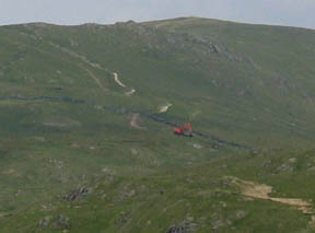
The path has been re-laid (with a large excavator in 2006 ... see picture below) and now forms a real blight on the landscape. Okay it is easy to walk and the erosion is less but it has certainly not, and never will, blend in with the countryside !!
The track to Yoke 2006
Looking back on the motorway ! [ If the local farmer or council applied to build a road this big they would never have got planning permission. ] This walking is a city chore not a fell walking experience !!
The ladder style that existed in 2006 has now been changed to a gate which is a worthwhile change as it makes it slightly easier for less-able walkers and dogs to negotiate.
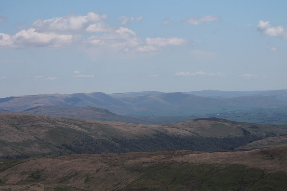
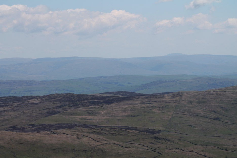
Looking over to the Howgills on this sunny, if rather hazy day.
Across Cumbria to Ingleborough, one of the Yorkshire Three Peaks.
Out to sea and across Morecambe Bay to the square buildings of the power station at Heysham.
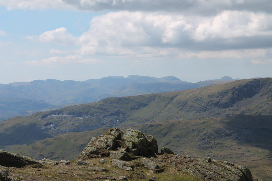
To our right, the Pets Quarries on the lower slopes of Red Screes and then over the back to the Langdale Fells and finally the shapely summit of the Scafells and Great Gable. Click here or on the photo above for a larger Loweswatercam annotated panorama
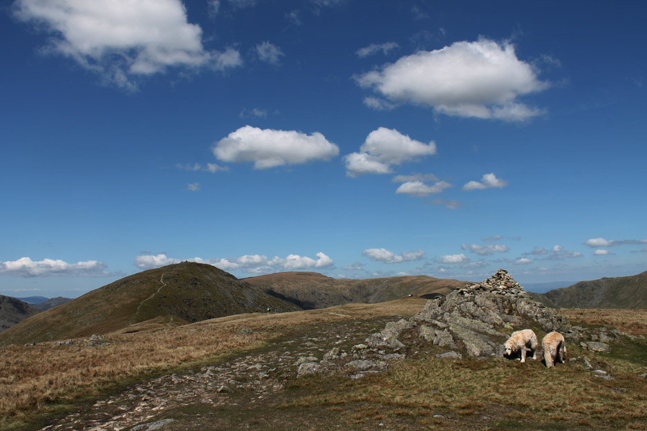
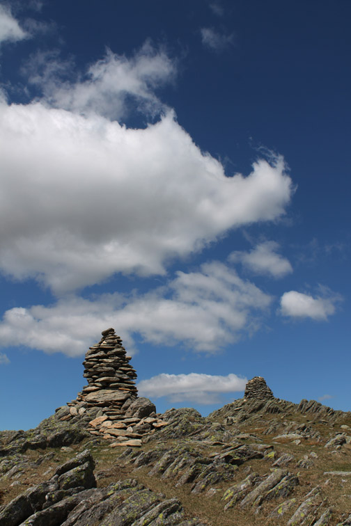
Yoke summit . . . our first of three tops for today.
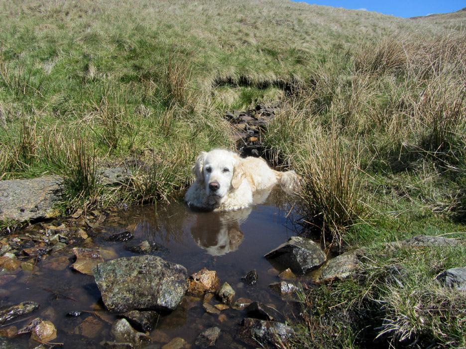
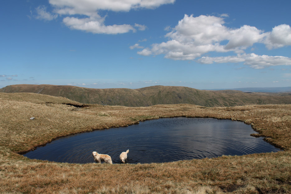
Just beyond is more water for the dogs . . . but it is quite peaty and the lower parts of Harry and Bethan change colour accordingly.
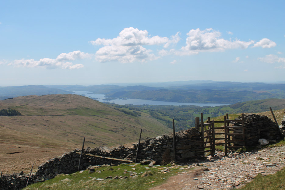
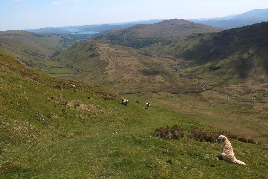
That water is clean but too far away to be of use . . . Kentmere Reservoir in the valley, some 1450 feet below us.
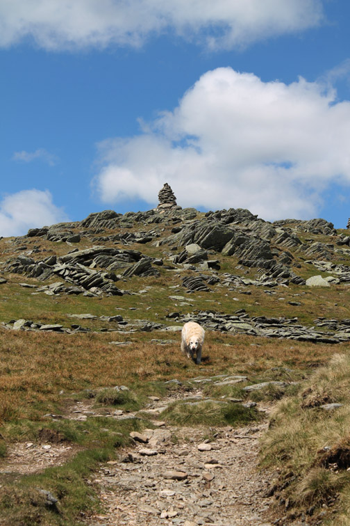
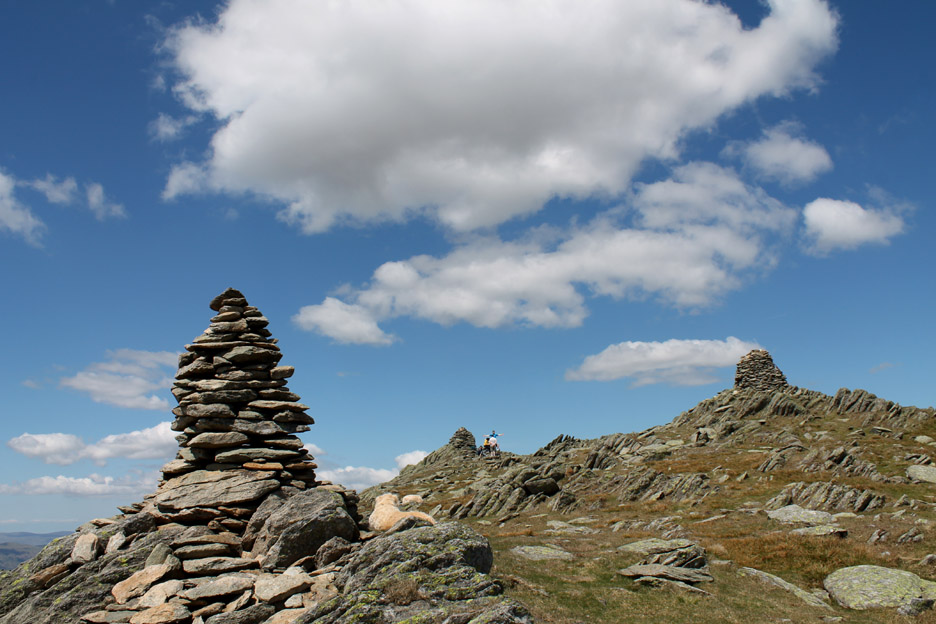
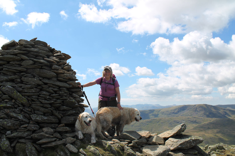
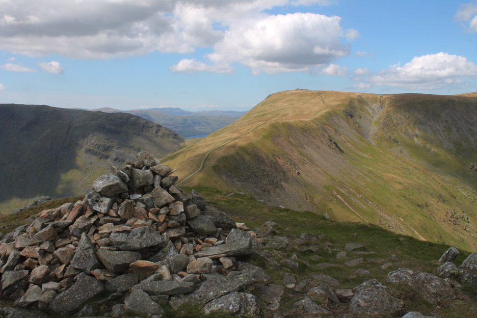
. . . but three major cairns adorn the summit if Ill Bell. If nothing else, it makes the summit instantly recognisable from miles around.
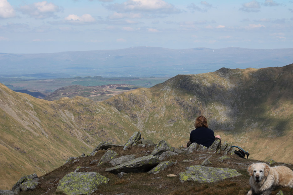
An stands by the largest of the three as we enjoyed the views all around.
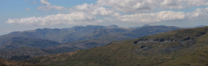
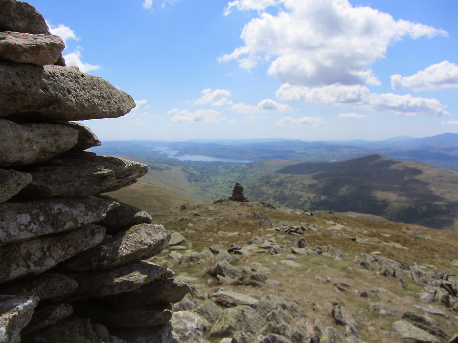
Looking south, down to Windermere and distant Black Combe to the right.
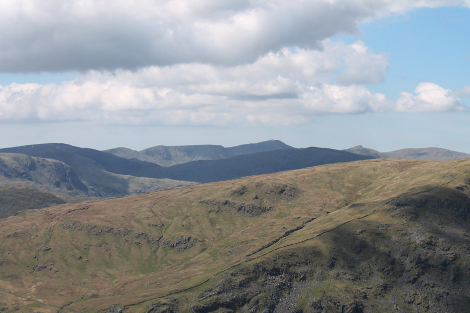
Across to the quarries and the Scafells again.
Further round to the north west, the 3000 ft high ridge of Helvellyn with the broad main summit and the shapely peak of Catstycam standing out above the surrounding fells.
Time to move away from the summit and find a nice place for lunch. A view out to the north east over the Nant Bield Pass to the Pennines and Cross Fell will be fine.
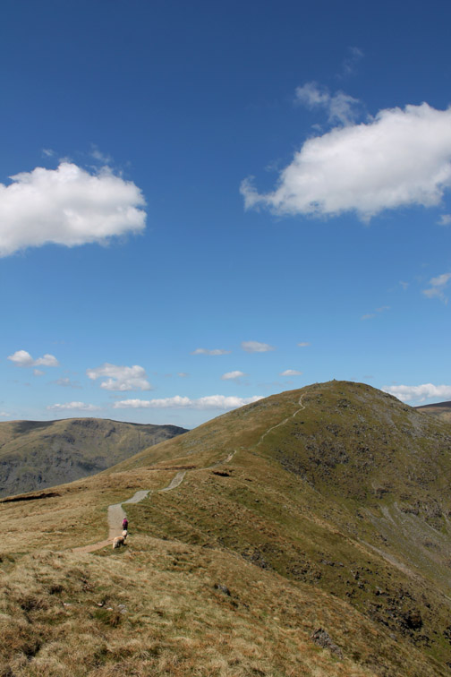
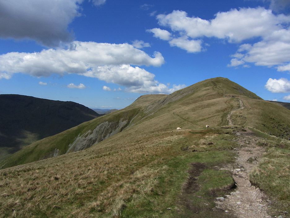
After a relaxing lunch it was time to head for the third summit of the day.
More track but thankfully some natural paths, complemented by occasional pitching on the steeper sections.
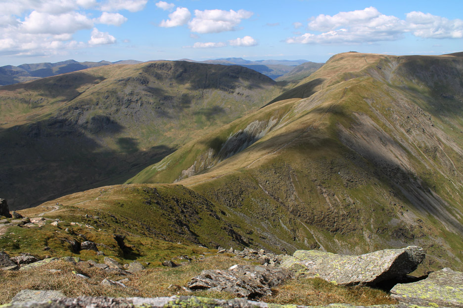
Froswick ahead with the tall cairn of Thornthwaite Beacon on the distant summit.
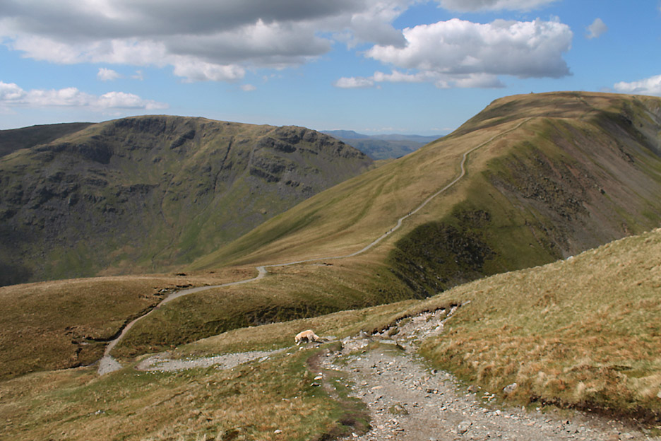
From Froswick we get the briefest of glimpses of the blue waters of Ullswater.
We'll leave the Kentmere Round 'path' at the next hause and strike off left for those green tracks down the fellside.
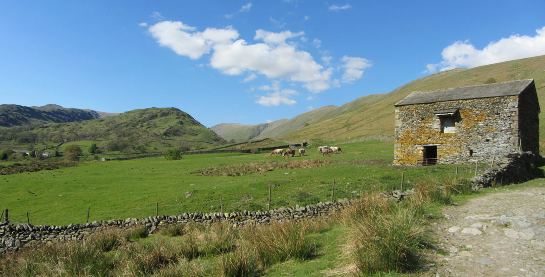
Ahead now is the short grassy fell of Troutbeck Tongue with Trout Beck to the right and Hagg Gill to the left of the central higher ground. Signs of ancient life as the clear track makes its way down to the valley.
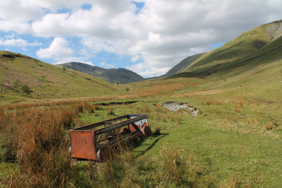
Signs of more modern life as we pass this old sheep feeder close to the fell wall.
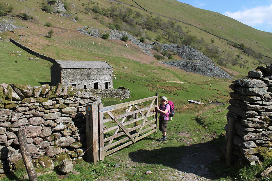
Ann opens the gate onto the farm and quarry track that will take us down the rest of the valley.
" Do your see the size of the gate in that last picture ? "
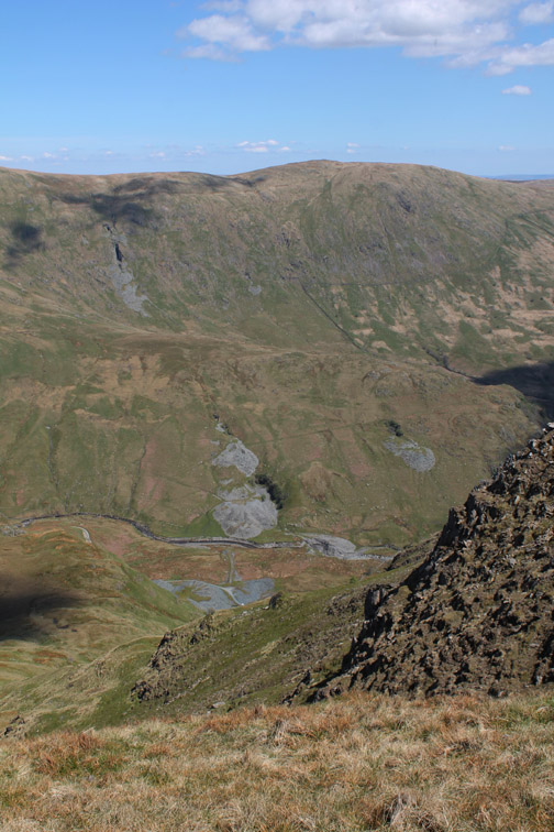
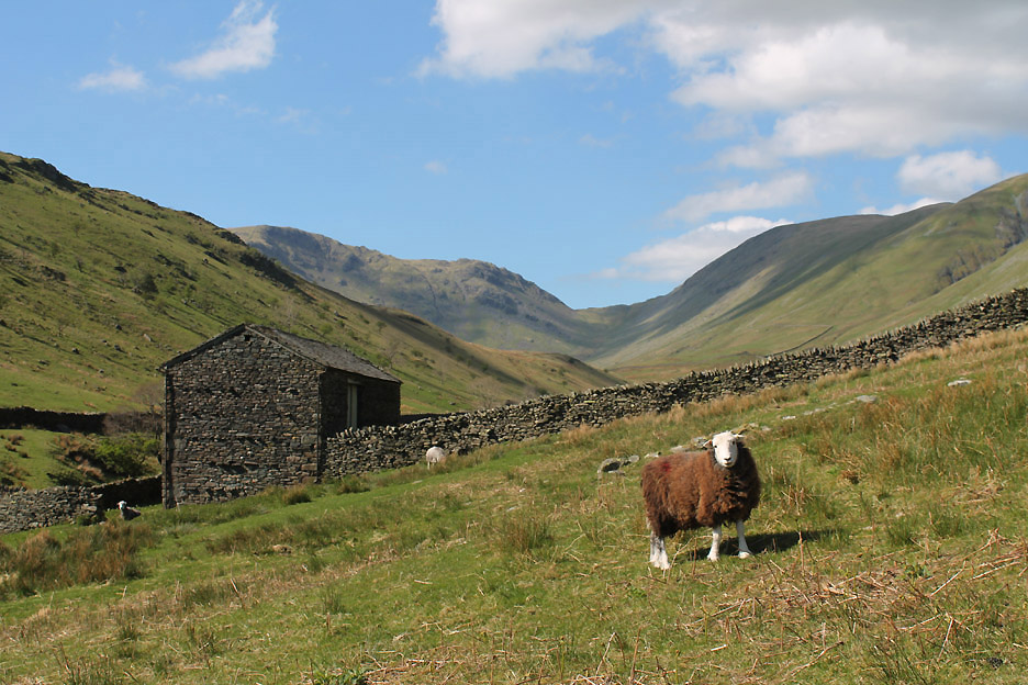
The track on this side of the valley traverses high above Troutbeck Park farm.
It passes an isolated barn that presumably belongs to Long Green Head farm a little further down the valley on this side. The farmer has been up and distributed some silage as the grass is not yet growing as fast as it could.
Long Green Head Farm.
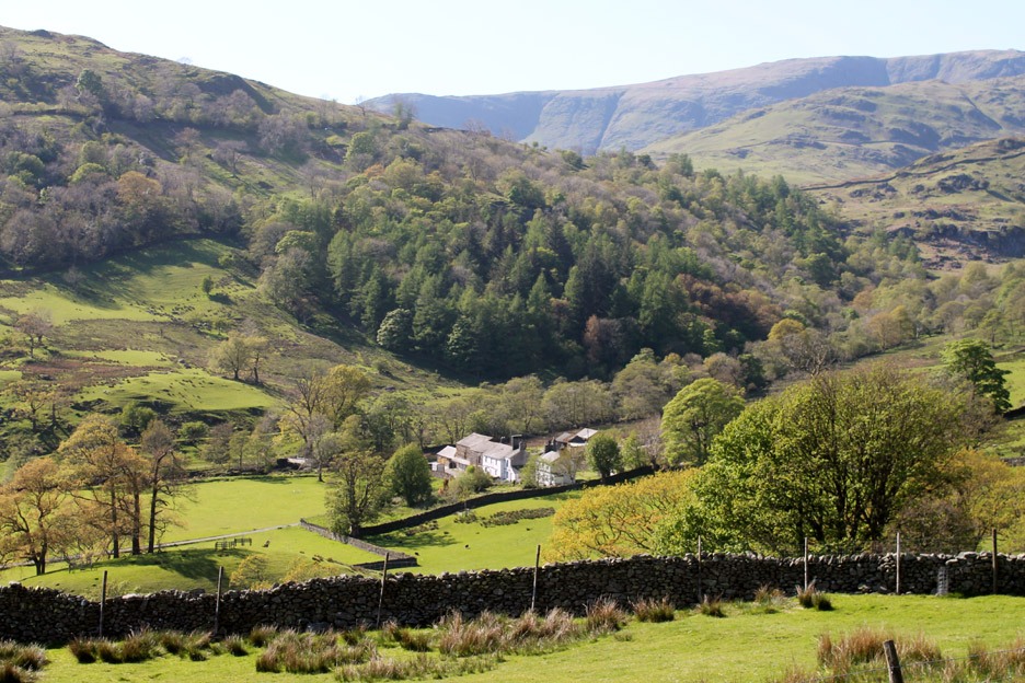
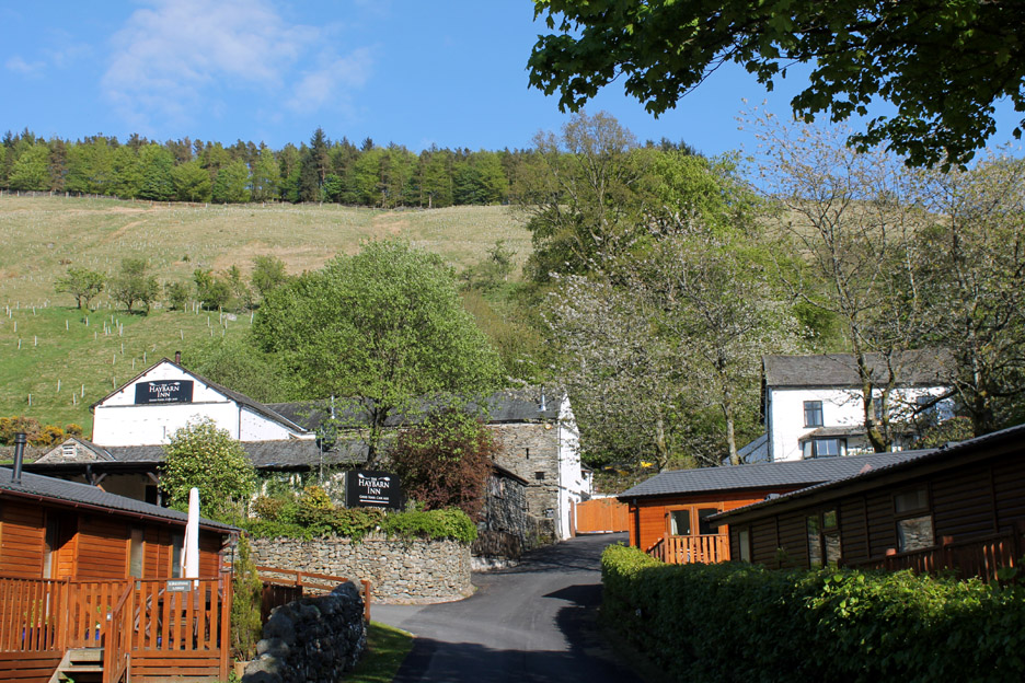
Getting close to the end of the walk now as we reach the conurbation that is Limefitt Park.
A large valley community like this does have one advantage . . . its own pub ! We have a brief stop at their beer-garden tables for a pint . . . Cheers !
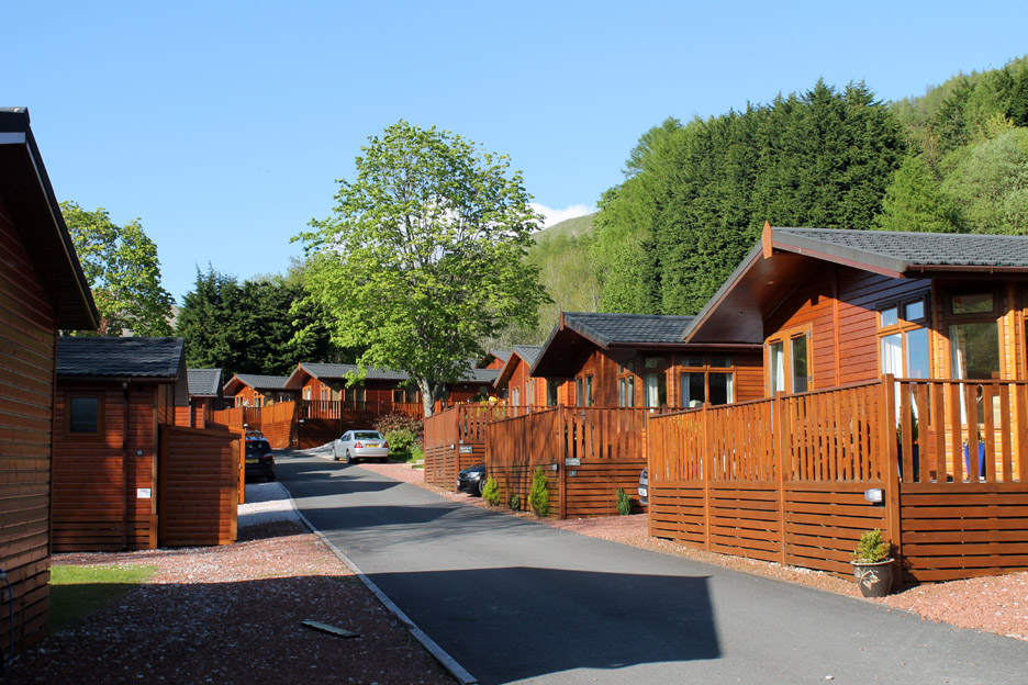
No wilderness here either . . . to be fair, the park looked really clean and well looked after and very well appointed and for those that like this sort of holiday it would make a nice destination.
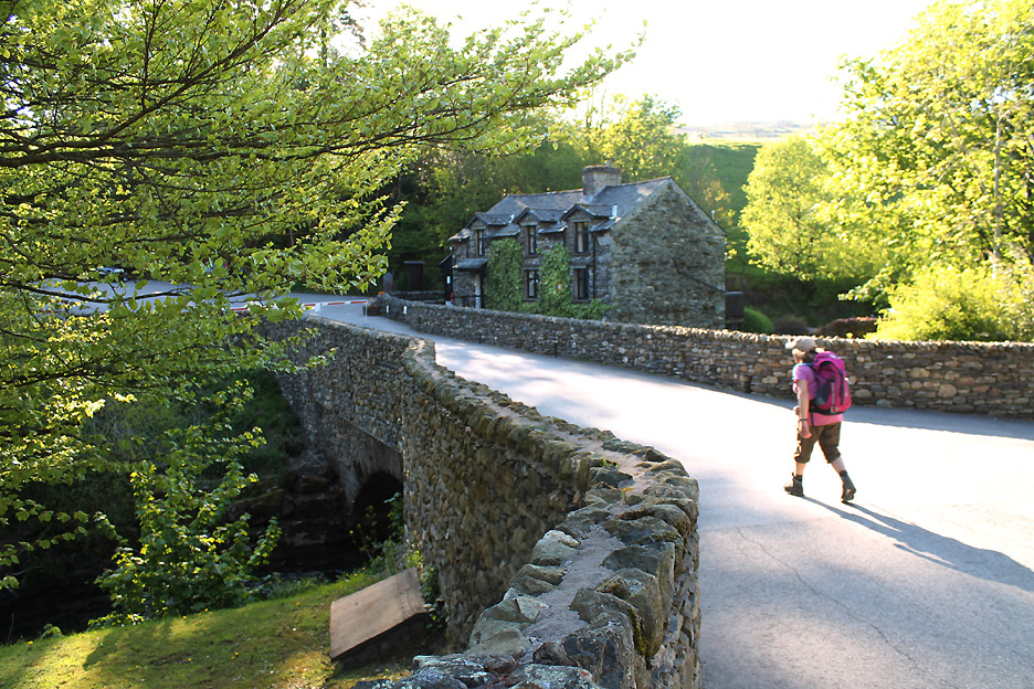
Ann walks on past . . . heading the last few hundred yards out onto the main road and back to the car. - - - o o o - - -
|
Technical note: Pictures taken with either Ann's Canon Sureshot SX220 or my 1100D SLR digital cameras. Resized in Photoshop, and built up on a Dreamweaver web builder. This site best viewed with . . . a few less track ways and a few more more natural paths. Go to Top . . . © RmH . . . Email me here Previous walk - 24th/26th May 2013 - Rannerdale Bluebells 2 - 2013 A previous time up here - 6th May 2006 The Kentmere Round with the OFC Next walk - 29/30th May 2013 - Hen Comb and Holme Woods
|