![]()

Remember: Press F11 for a full
screen view of this page.
|
|
|
Remember: Press F11 for a full
screen view of this page. |
| " Poor Weather keeps us Low " Date & start time: Saturday 9th February 2013, 2.20 pm start. Location of Start : The red phone box, Loweswater , Cumbria, Uk ( NY 143 211 ) Places visited : Low Park, High Park, Low Ling Crag, High Ling Crag and back. Walk details : 4.9 mls, 550 ft of ascent, 3 hours. Highest point : High Ling Crag, 480 ft - 148 m (48m above lake level). Walked with : Jo, Maggie, Ann and the dogs, Jodie, Amber, Harry and Bethan. Weather : Grey but improving. |
" Poor Weather keeps us Low " at EveryTrail [ Alter the settings to zoom or change the Map, use Everytrail to download the Gps route ] |
|
Fine weather never lasts long around here and after yesterday's sunshine the cloud rolled in for the weekend. We phoned Maggie and delayed our walk till after lunch to give the weather a little time to clear. The four of us sat down for home made soup and afterwards we contemplated a local walk in the reduced time available before dark. Low Ling Crag was now on the cards as it was also below the cloud base !
The view from the red phone box at the start of the walk . . . remember last week ? Hold your cursor over the picture to remind yourself !
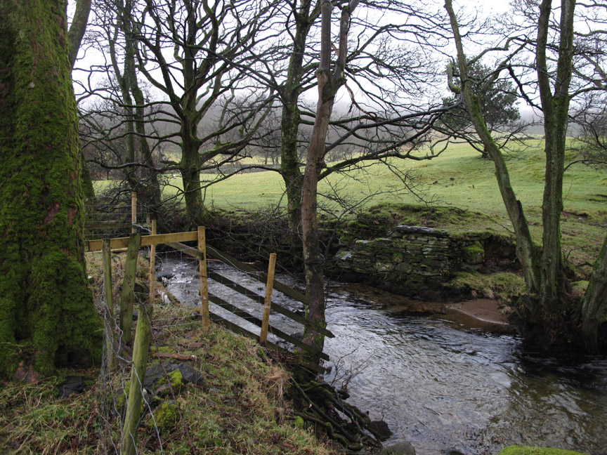
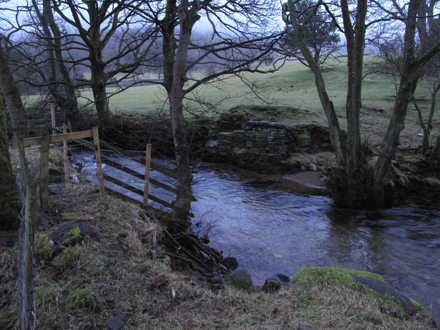
We headed off past the negative signpost heading for the lake . . . but we weren't driving so there was somewhere to go. On the way we passed this old bridge buttress. A neighbour from Low Park remembers wooden planks across here in his youth and apparently it may have served as an access point for an old Loweswater tin mine in the field opposite.
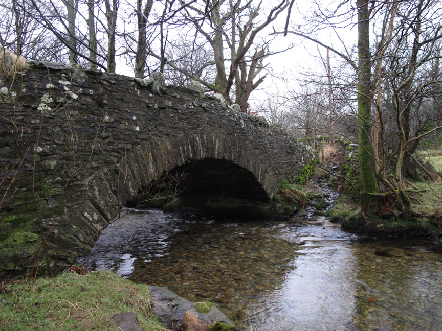
The substantial bridge at Low Park that carries us across Park Beck.
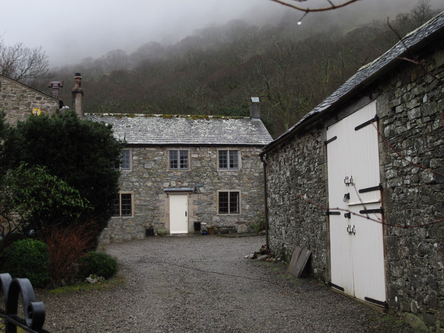
High Park with the mullioned windows that give a clue to the age of this classic building.
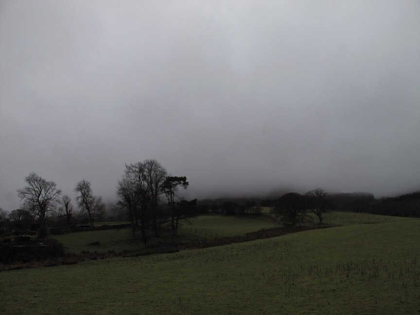
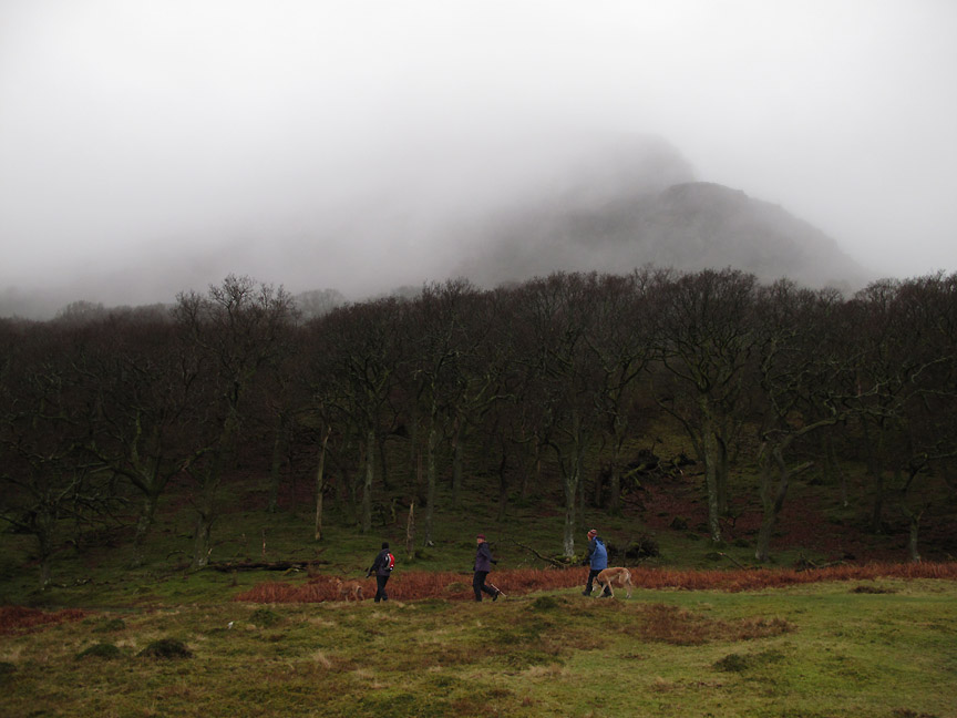
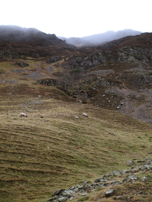
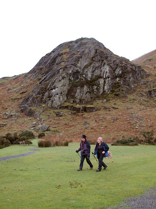
Walking along through the lower part of Green Wood. Some of the lower crags of Mellbreak are starting to appear like ghostly apparitions through the mist.
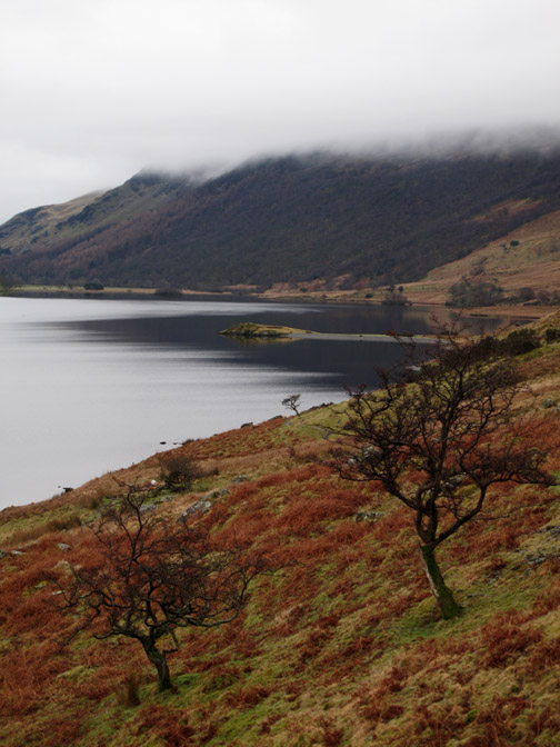
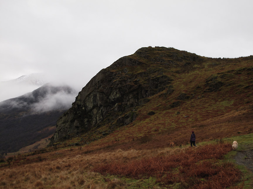
From the high point above the lake we gain a view of Rannerdale Knotts that we climbed yesterday How different the weather is just 24 hours later.
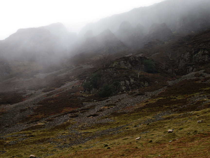
Look carefully, there are the Mellbreak Pinnacles, well worth a visit from above if you have time.
One of several old hawthorn trees close to the path
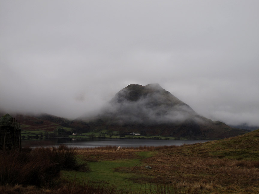
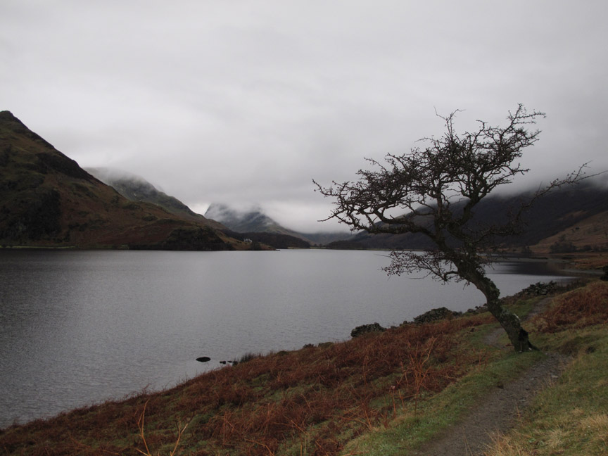
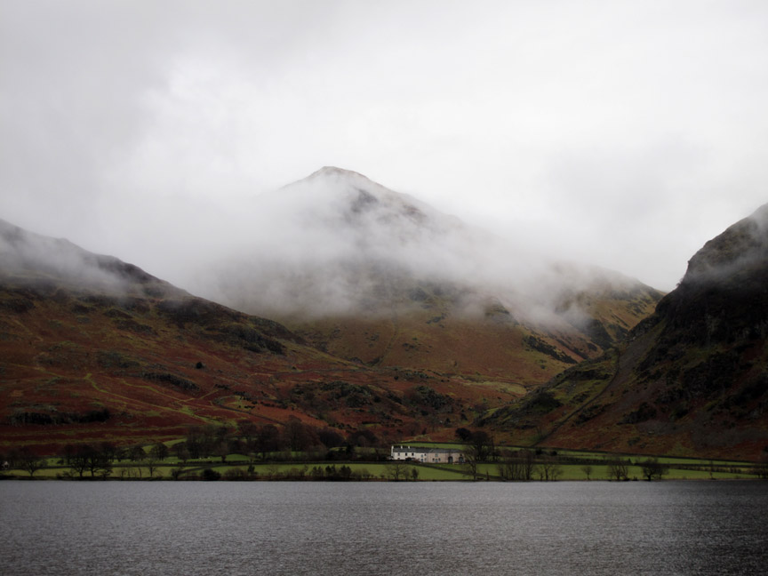
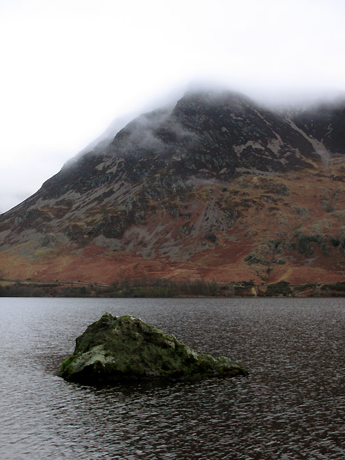
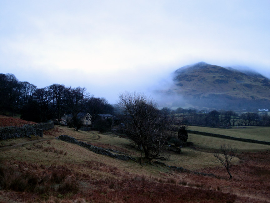
Rannerdale Farm with Whiteless Pike emerging from the cloud.
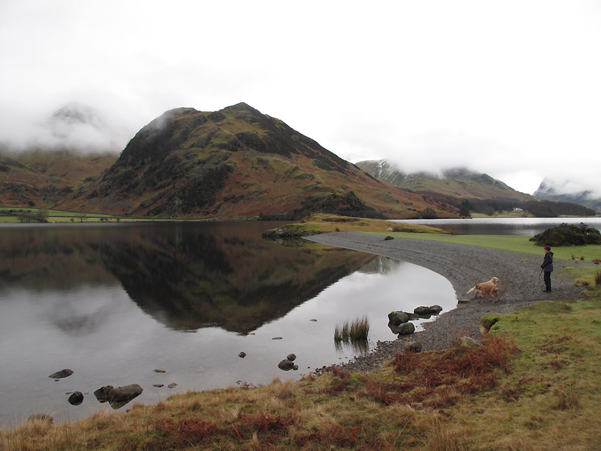
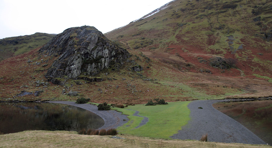
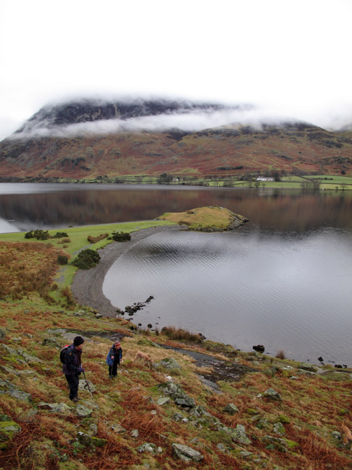
High Ling Crag . . . almost there . . . and it hasn't rained !
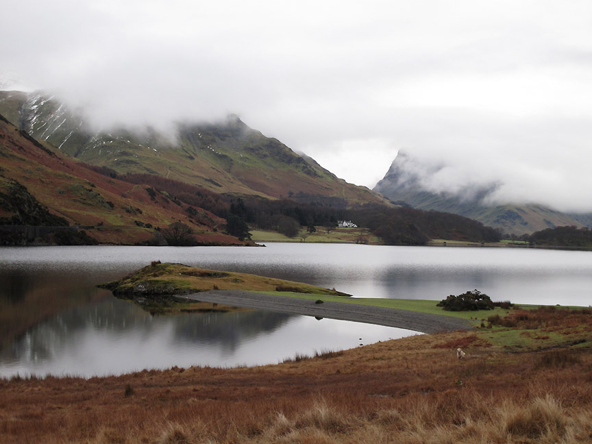
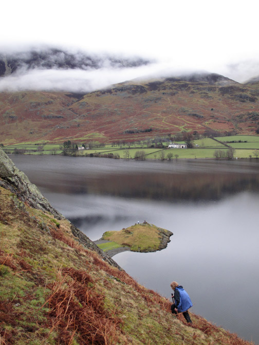
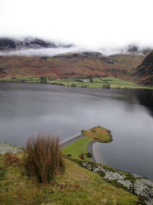
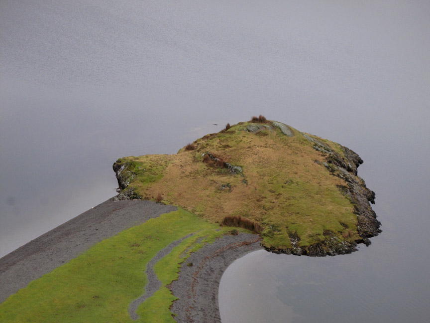
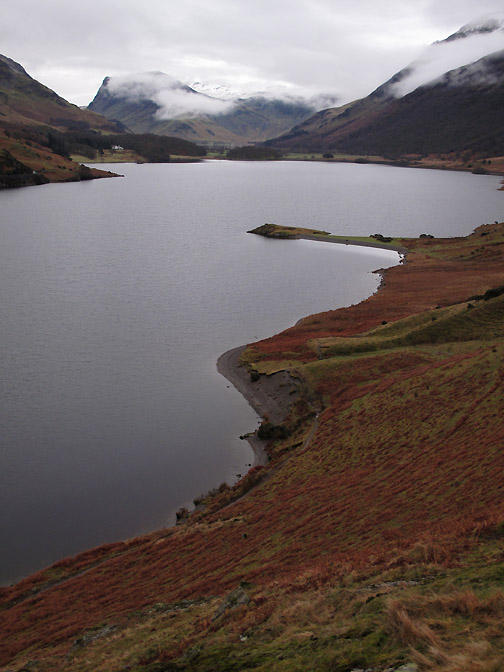
The Low Ling Rock is connected to the shore by a double bank of shingle. If you study Peter Wilson's book on Lake District Landforms you'll know it is a tombolo not an isthmus.
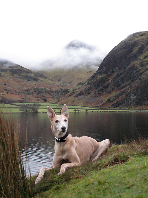
Maggie and two of the dogs make it to the beach . . . catch a quick photo before the reflections are covered in dog-made ripples.
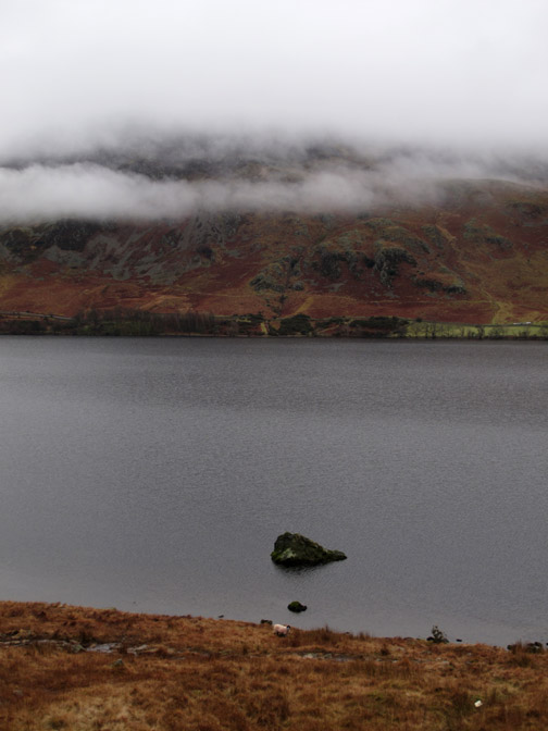
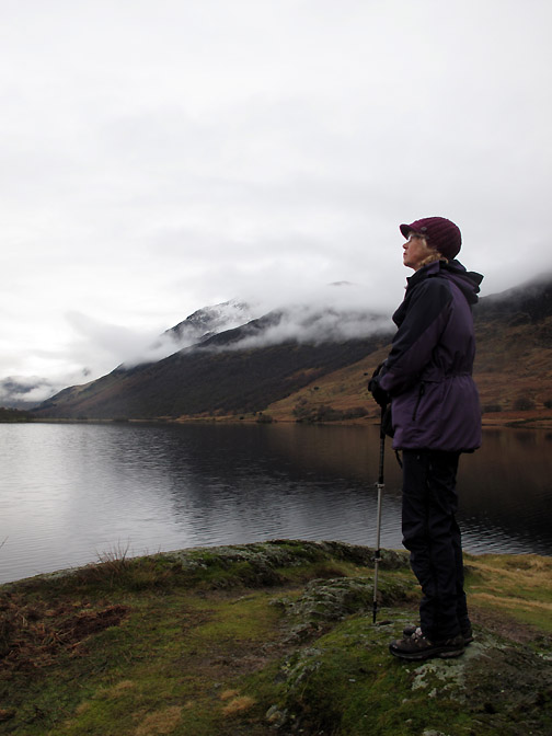
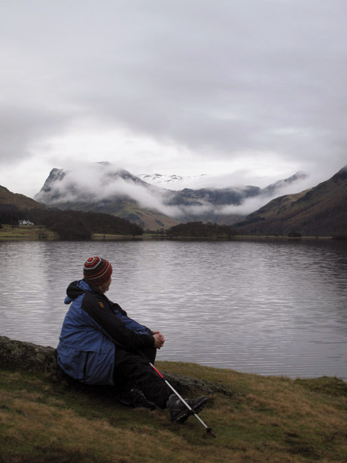
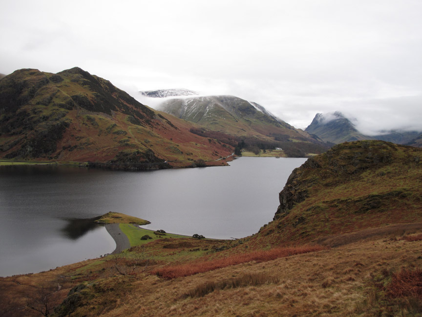
The head of the lake . . . with the snow on Brandreth starting to appear as the cloud lifts. This is almost Scandinavian or Canadian in feel . . . the cloud layers confusing any sense of height or scale.
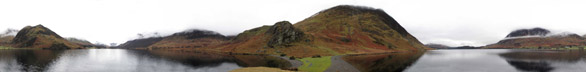
Still I was able to hold my composure as I swing round a full circle and catch the wider, very much wider picture. Click here or on the photo above for a Loweswatercam full 360 degree annotated panorama
Is that a person in the top of High Ling Crag . . . no that's a tall bunch of reed grasses.
From up here the rock of Ling Crag looks remarkably familiar. Before moving on . . . what shape do you see ?
If that's not a golden retriever head I don't know what is ! [ Must be Harry Rock with that pronounced forehead ]
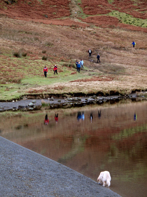
Heading back now . . . we took the high road and Ann and Maggie took the low.
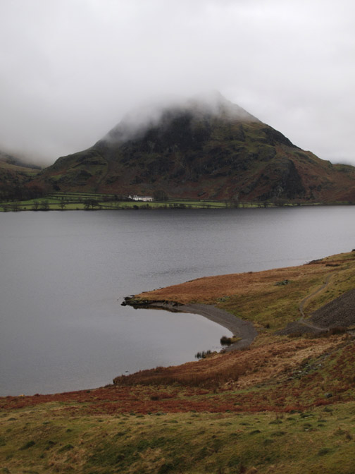
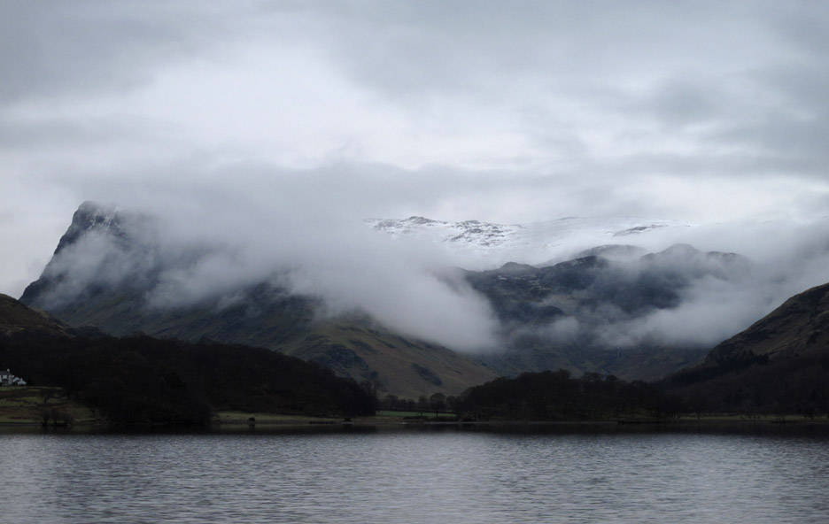
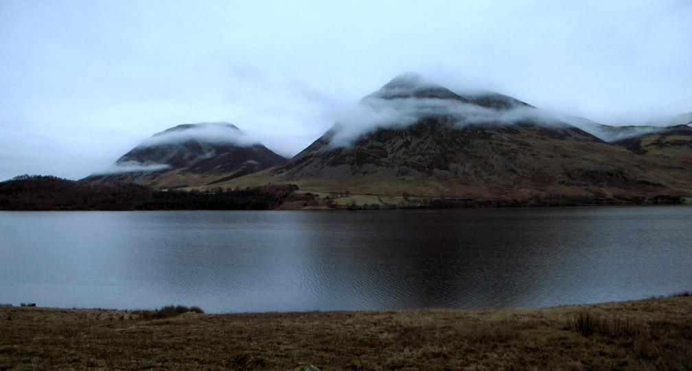
Whiteside and Grasmoor had lovely bands of cloud crossing their northern faces.
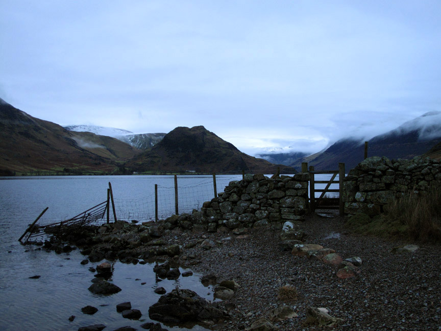
The light fading now as we headed across to the gate which gave us access to the beach towards the foot of the lake.
Up over the fields to see another bank of cloud rolling in from the Solway. We've enjoyed the best of the weather on offer today I think.
One last picture as we pass the "old plank bridge" again on our way home. - - - o o o - - -
|
Technical note: Pictures taken with my Canon G10 digital camera. Resized in Photoshop, and built up on a Dreamweaver web builder. This site best viewed with . . . a nice home made lunch to bide the time till the weather improves. Go to Top . . . © RmH . . . Email me here Previous walk - 6th - 8th February 2013 - Binsey by Phone A previous time up here - 23rd March 2010 Mellbreak with John Grayson Next walk - 11th February 2013 - Darling Fell in Valentine's Week
|