![]()

Remember: Press F11 for a full
screen view of this page.
|
|
|
Remember: Press F11 for a full
screen view of this page. |
| " A Short Scottish Break - Part 1" Date & start time: Tues - Wed, 22-23rd January 2013. ( NX 889 933 ) Location of Start : The Trigony House Hotel, Closeburn, Dumfries & Galloway, Uk. Places visited : Moffat, Grey Mares Tail Waterfall, back via Leadhills and Wanlockhead. Walk details : A short local walk 1 ml, 500 ft of ascent, (total car journey 95 mls) Highest point : The view of the falls and the villages of the Lowther Hills. Walked with : Ann and the dogs, Harry and Bethan. Weather :Overcast and mainly dry, with snow on the ground. |
" A Short Scottish Break - Part 1" at EveryTrail [ Alter the settings to zoom or change the Map, use Everytrail to download the Gps route ] |
|
A post-Christmas three day break has been booked for a while and so we're off to Scotland to stay in a rather nice country hotel . . . the Trigony House just north of Dumfries. By the look of it, the current snowy weather might just make our stay that bit more interesting ! We had arrived after a relatively short car journey from Cumbria, extended slightly by a visit to the north Solway coast along the way. Powefoot near Annan was interesting as we could see some of the Cumbrian Coast from the northern side for a change and after a light lunch at The Farmers in Clarencefield near the coast, we were on the road again. Only a few miles to go now.
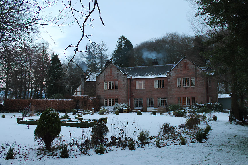
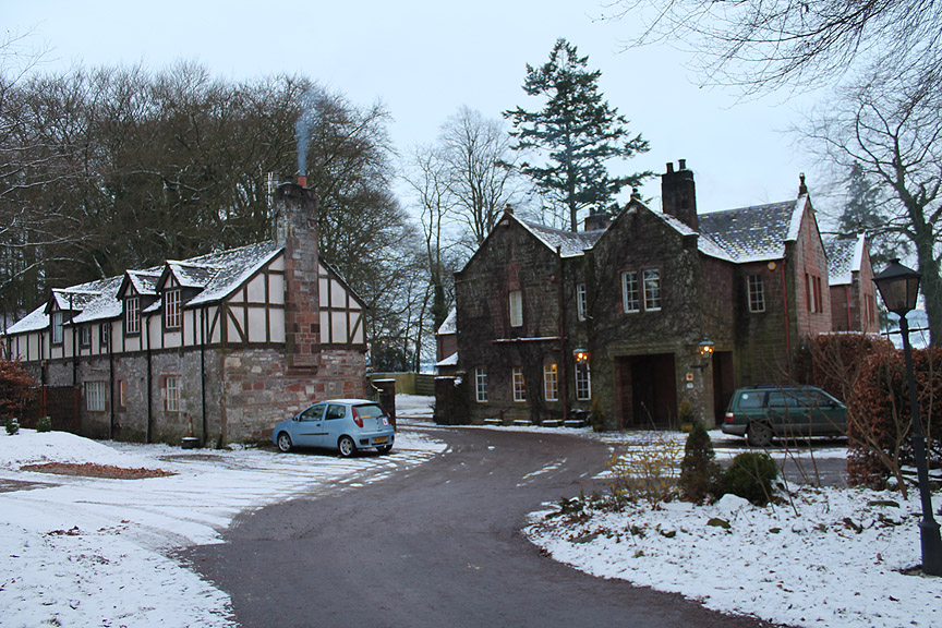
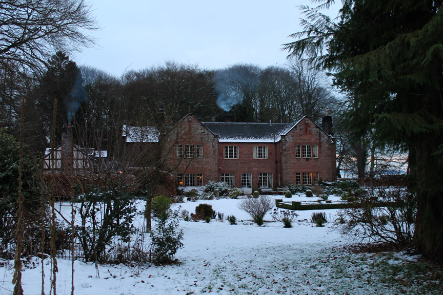
" Trigony House is one of the finest luxury hotels in Scotland, set in the heart of S/W Scotland in Dumfries and Galloway." That's what their website proudly says . . . so let's see if they can live up to their reputation.
On arrival we were offered an afternoon tray of tea . . . an excellent warm welcome on a cold afternoon.
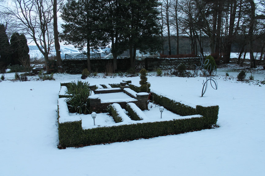
Time for a little look around the small formal garden and give the dogs a run in the larger field alongside the drive. [ The hotel was advertised as totally dog-friendly by the way . . . and it was.]
Out of season . . . but their garden looks a bit like mine . . . only bigger and with a lot more growing potential !
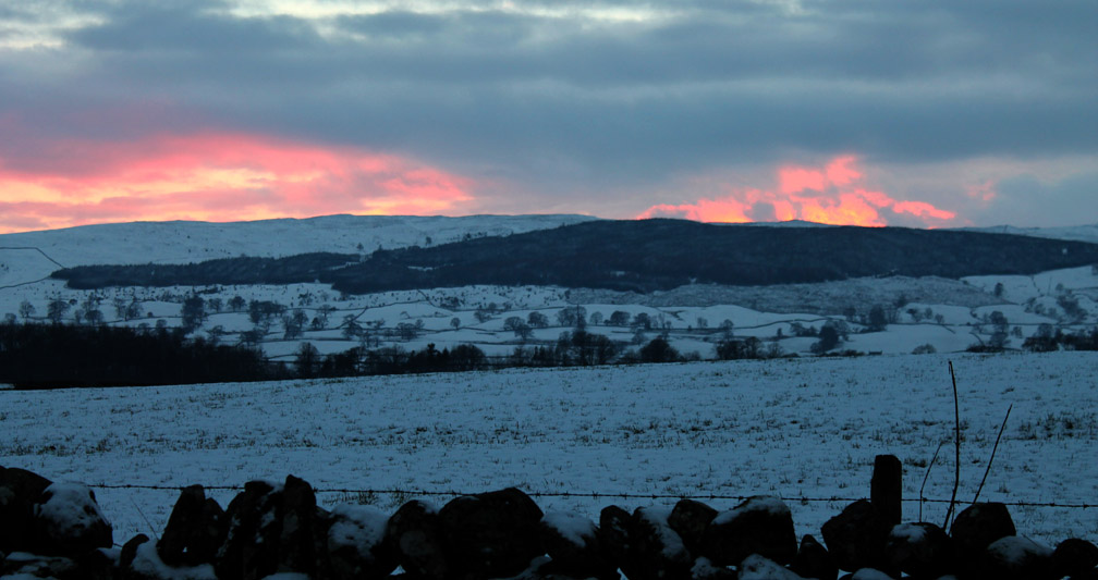
Suddenly a light like a major forest fire lit up the far hills . . . as the sun set over the Kier Hills. These are the southern uplands of Dumfries and Galloway seen across the Nith Valley. - - - o o o - - - Dumfries and Galloway holds many hidden treasures so we were spoilt for choice, so looking through the brochures decided on a trip across to see the famous Mare's Tail Waterfalls near Moffat. This would combine an afternoon walk with a trip out in the car to appreciate the local area.
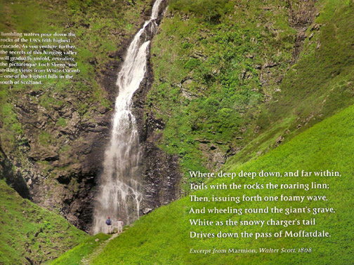
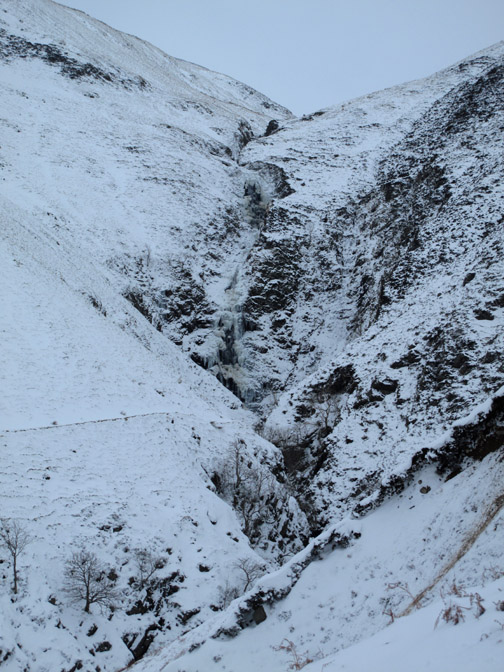
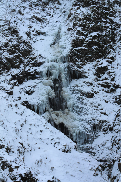
The waterfall is apparently the fifth highest in Scotland and is formed by the waters from Loch Skeen as they cascade down into Moffat Dale.
However the weather had other plans . . . but no problem . . . we set off anyway.
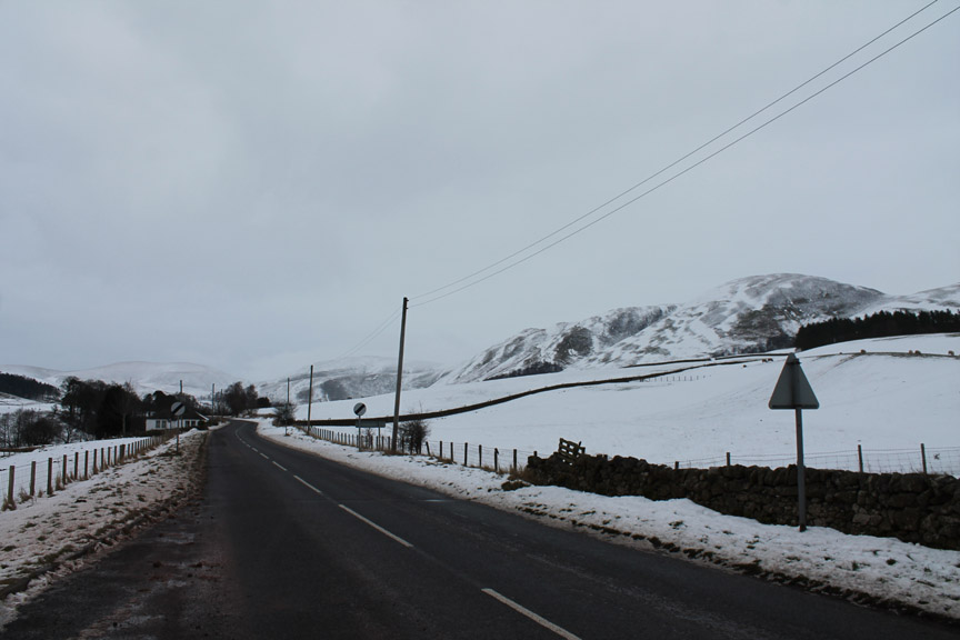
On remarkably clear roads we climbed up into the Lowther Hills and through the Dalveen Pass climbing to over a thousand feet above sea level.
It looked wild and cold up here.
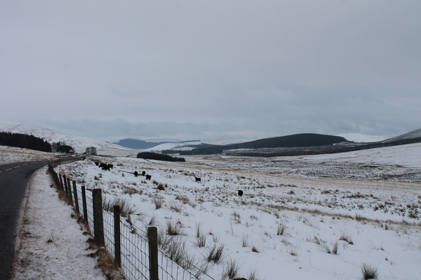
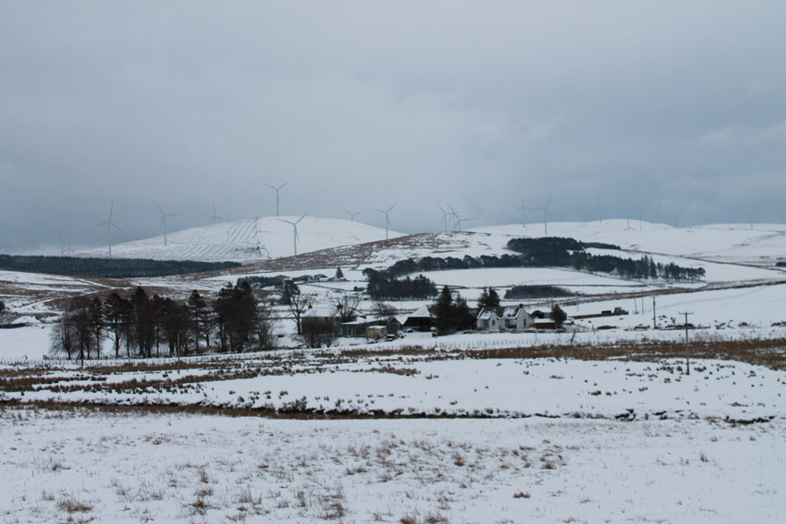
The cool breeze was turning the multitude of wind turbines that cover the Moffat Hills They run alongside the M74 corridor so it can't be far till we turn south for Moffat.
Rather than take the motorway one junction south we opted for the old road, which gave much more scenic views.
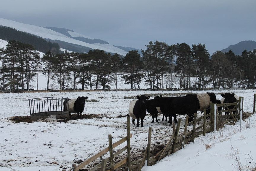
Belted Galloway cattle in Dumfries and Galloway . . . seems appropriate somehow. These hardy beasst can cope with the riggers of a cold climate and poor grazing . . . though they do appreciate a little extra hay no doubt.
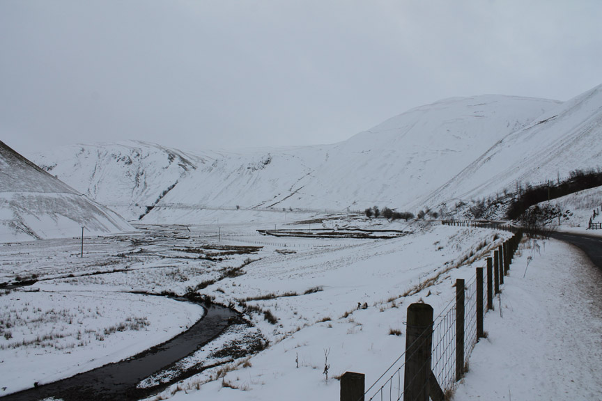
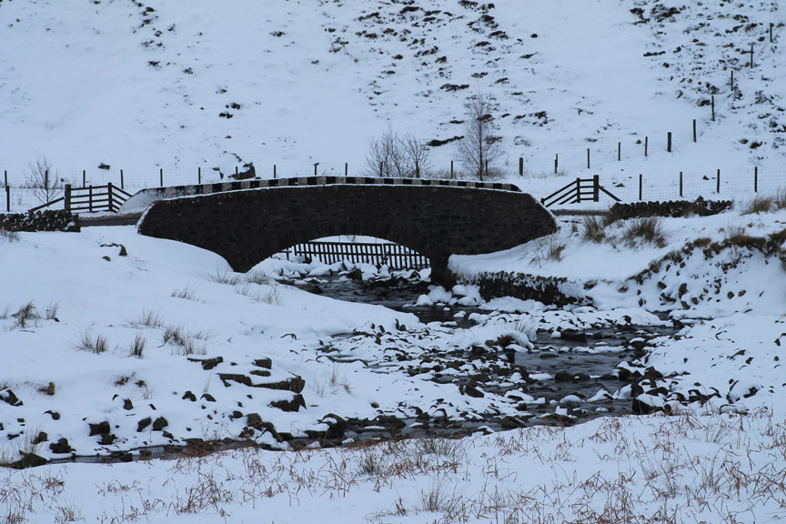
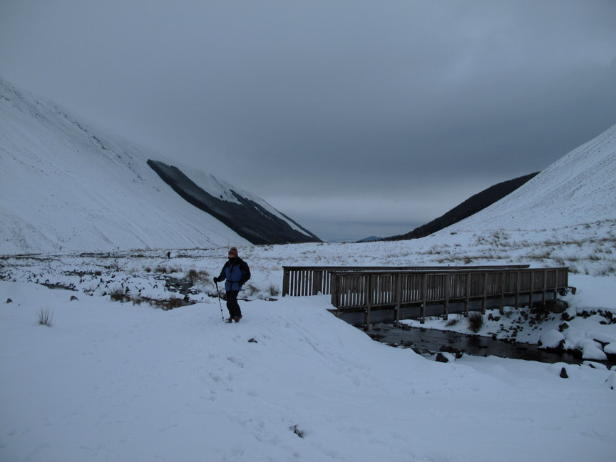
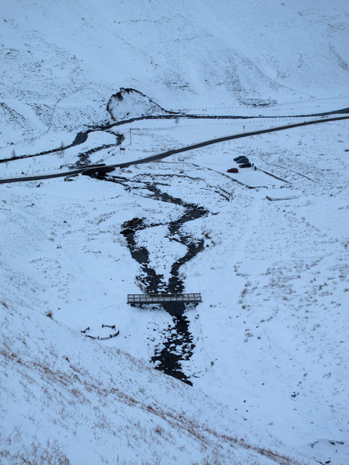
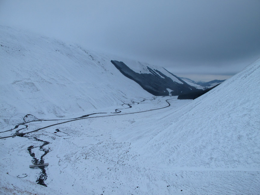
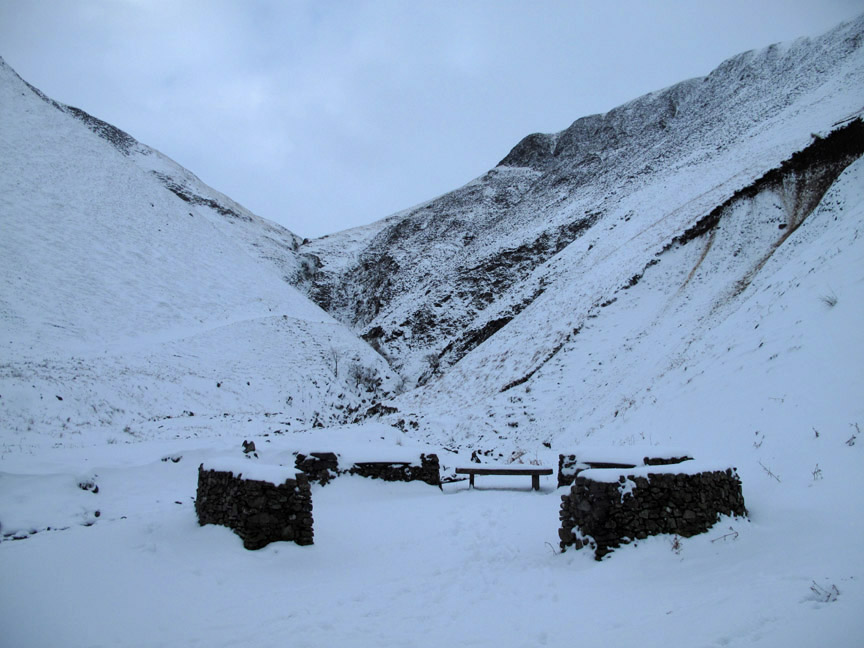
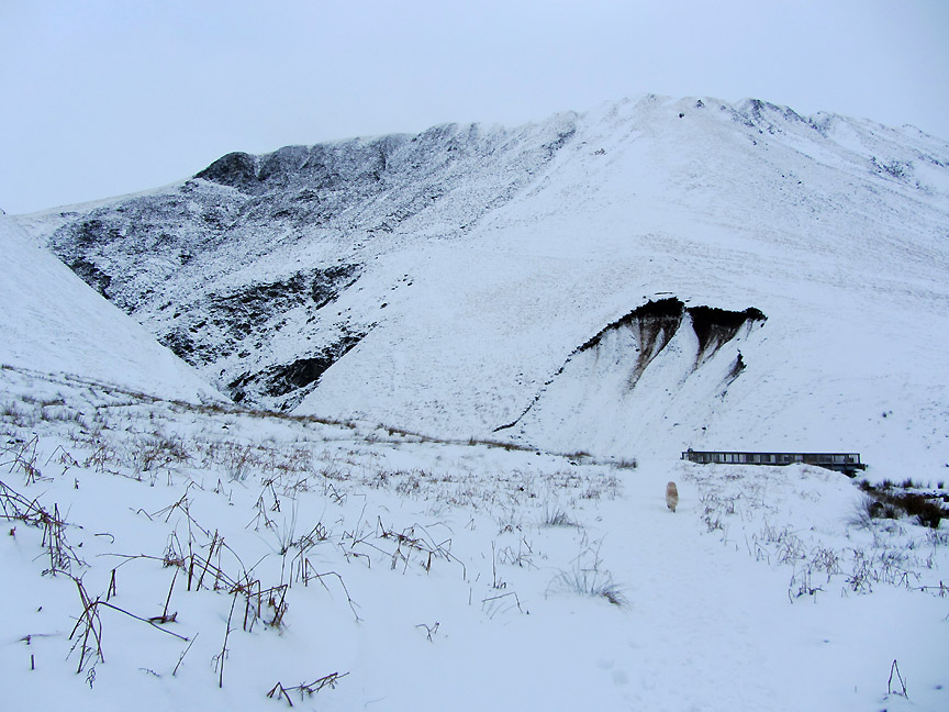
The fine stone bridge over the Tail Burn means we have reached the car park at the Mare's Tail viewpoint.
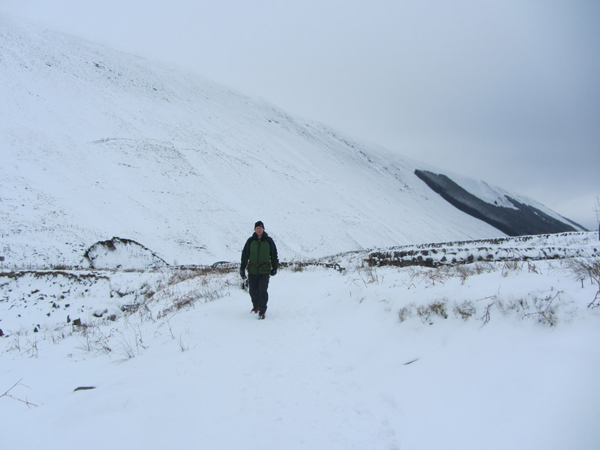
Winter gear in use as we set off on what is probably going to be a shorter walk today. The conditions are too wintery for an easy stroll to the top of the falls !
Across the bridge and up the first slope, already knee deep in windblown snow.
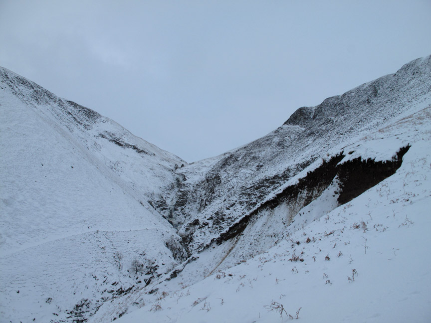
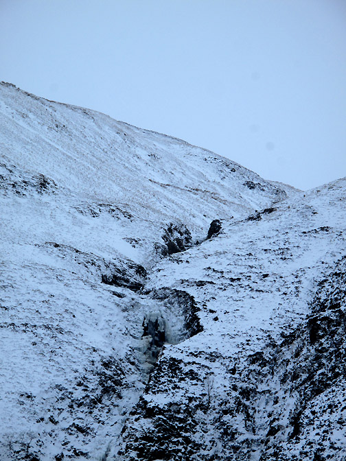
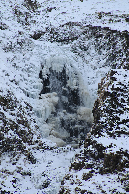
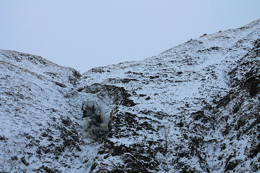
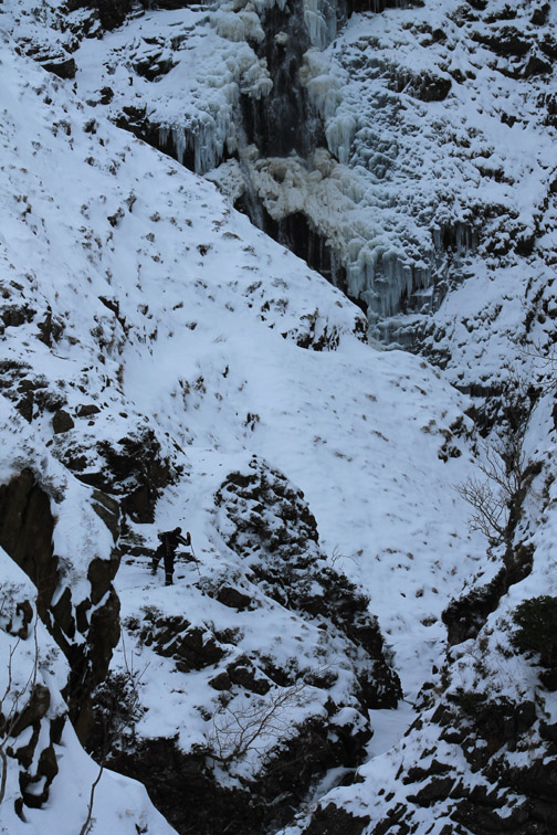
Ahead is the hidden beauty of the waterfall as the Tail Burn cascades over the cliff. This, in geographical terms, is a classic upland hanging valley with the water from Lock Skeen falling over the steep cliff into the over-deepened, glacial Moffat Vale.
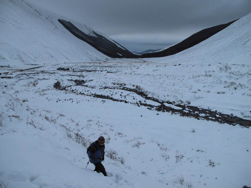
The climbing was a little difficult as the snow had drifted onto the footpath and hidden all the steps and gullies. This is the view looking south west down Moffat Dale.
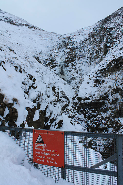
We call a halt at this point as to progress further would not be sensible without full winter gear . . . gaiters and possibly crampons. [It transpired that the path became waist deep in snow and the lake virtually impossible to reach according to a fellow walker who had climbed further]
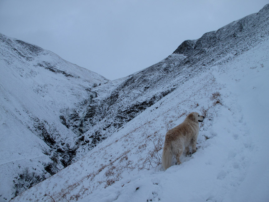
Back down at ground level, by the circular seating area we notice what looks like an alternative low level path across the other side of the valley . . . time to explore again.
The start of the path was hidden by the snow so we kicked our way through patches of deeper snow covering the long moorland grass till we found it.
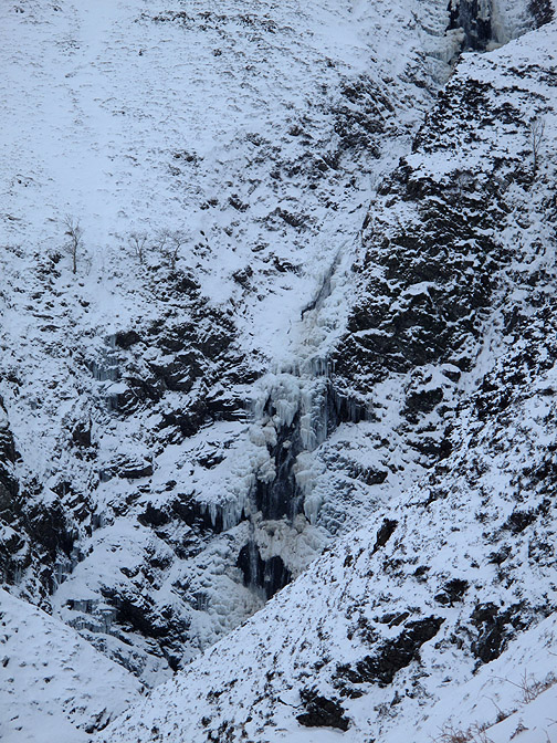
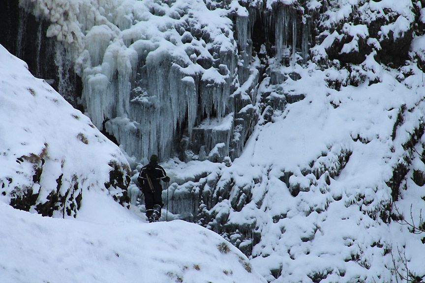
A wider shot of the top Chandeliers.
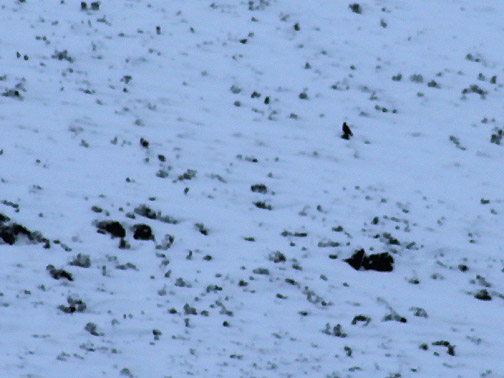
The climber turned out to be a photographer (see the tripod over his back). He adds a human scale to this zoomed in photo . . . thanks very much . . . but please don't risk anything on my account.
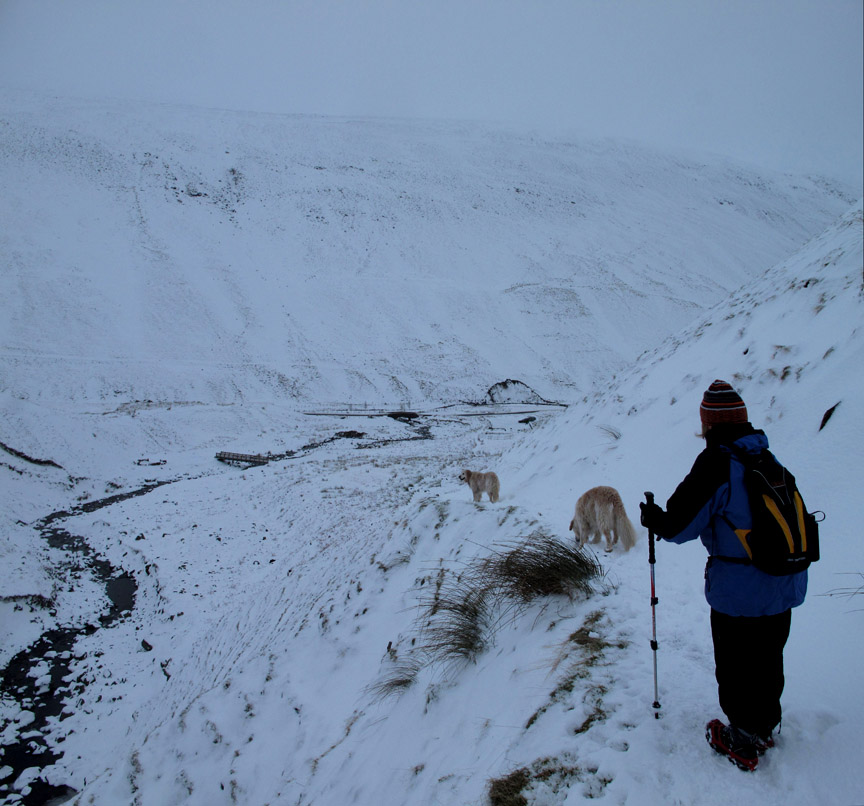
Time to be returning to the car . . . the snow track leading back down the way we had come. Ann and I were wearing our spikes again . . . most useful.
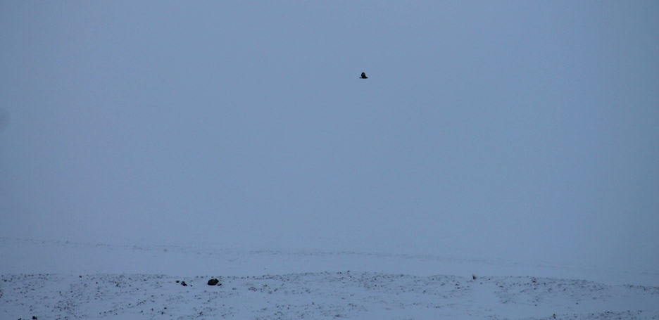
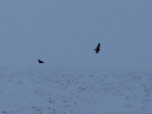
High up above the ridge opposite I saw a large bird flying past . . . could it possibly be a Scottish Eagle ?
[The other give away was the wing markings with that distinctive white stripe.]
A last look back at the bridge, the landslip and the Mare's Tail Gorge as we return to the car. - - - o o o - - - Our journey back to to our hotel was more or less a repeat of our outward drive, firstly back through Moffat town, then we took the motorway this time, north for one junction until we headed off into the hills again. Rather than repeat the whole outward leg again, we turned right at the magically names Elvenfoot Village and headed over to Leadhills . . . an old mining village high on the moors.
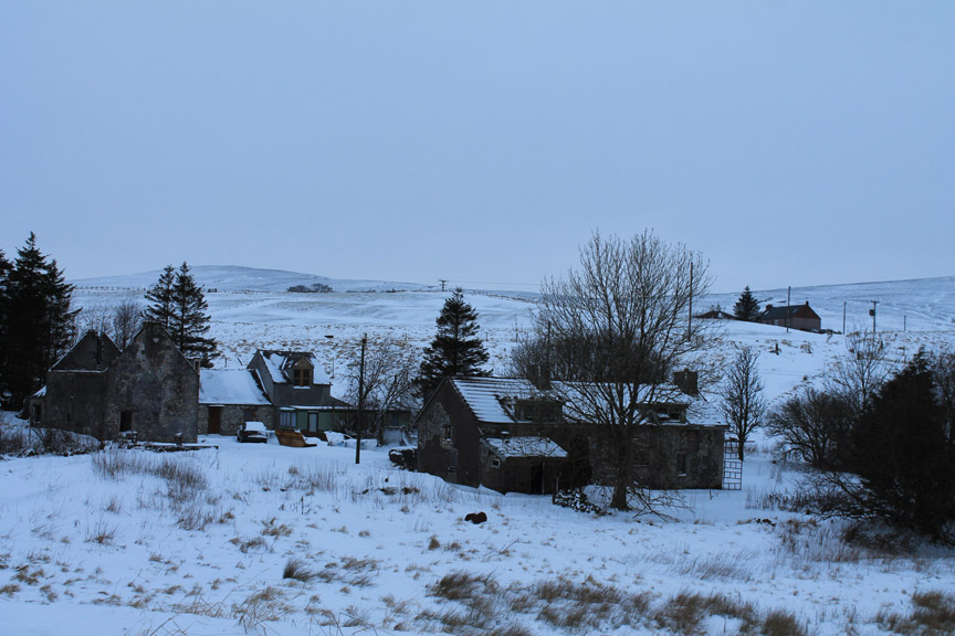
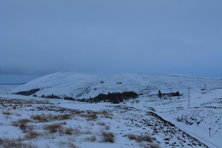
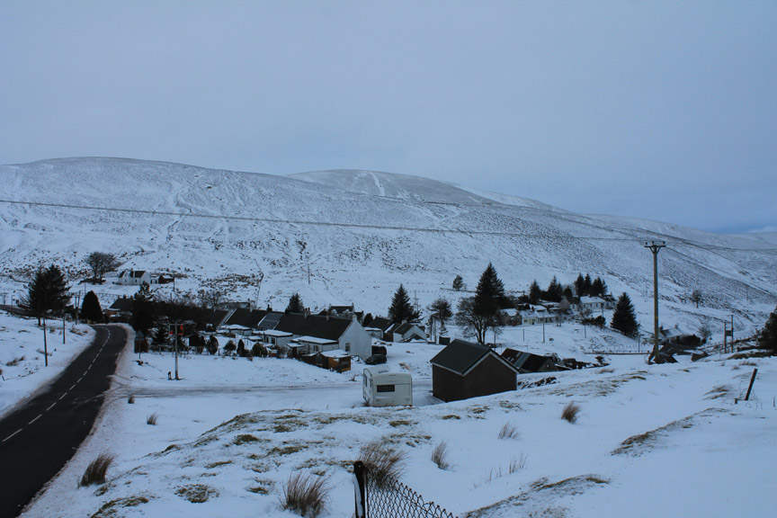
It was equally as bleak as the Dalveen Pass we had used on the way out but as we approached Leadhills we started to pass many more farms and cottages.
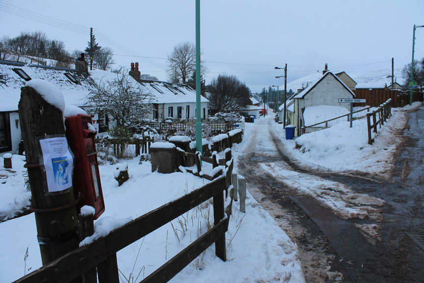
In fact the village was quite large . . . don't get excited all you "Neighbours" fans . . . that's Ramsey Road not Ramsey Street ! It was named after a local hero, a Mr Ramsey, who started the early Miner's Library, the first Workers library in Scotland.
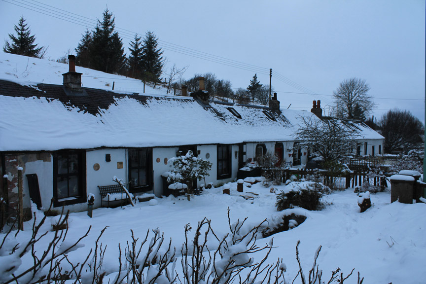
There were a large number of old cottages and houses, indicative of a long and prosperous mining history.
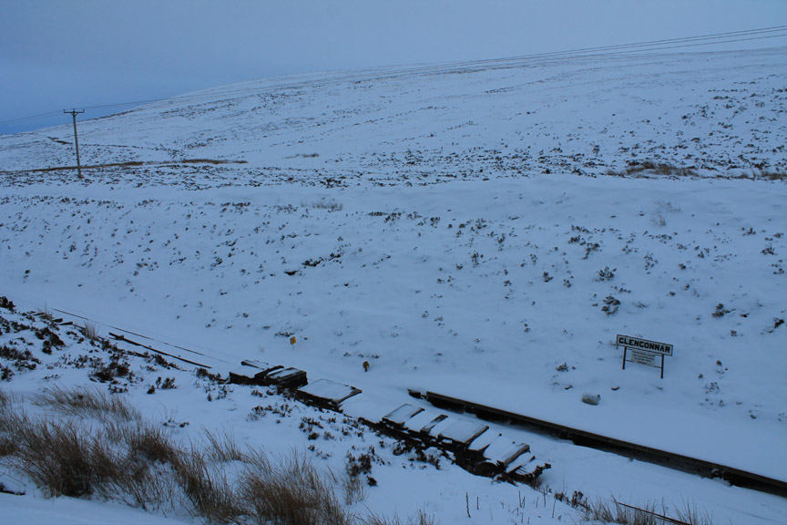
Climbing out of the village we passed the track of the railway leading over to Wanlockhead Village. The line is now a narrow-gauge preservation line which is only open during the summer months . . . for obvious reasons.
Glengonnar Halt . . . the current end of the line. The track bed continues on through a narrow cutting but the working track stops here.
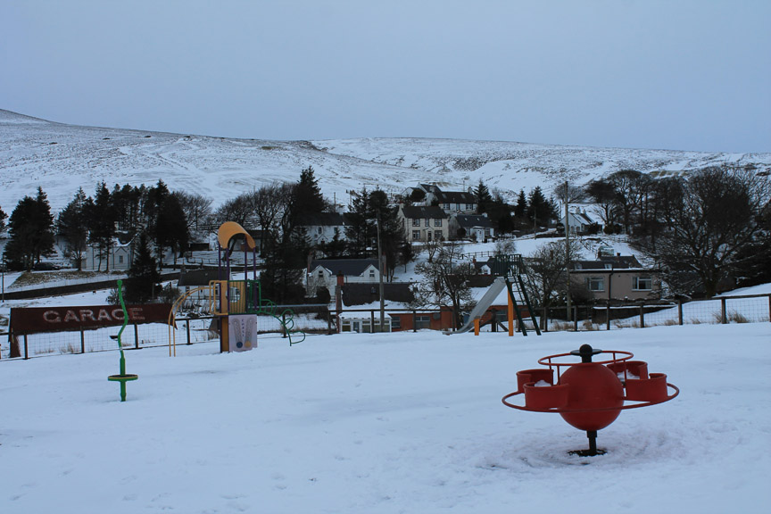
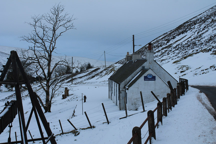
Over the brow of the hill and at the top of the Mennock Valley is Wanlockhead the highest village in Scotland. It clocks in at 1,531 feet, 467 metres above sea level.
It looks a thriving community with a busy school, the highest pub in Scotland and an important seasonal tourist industry.
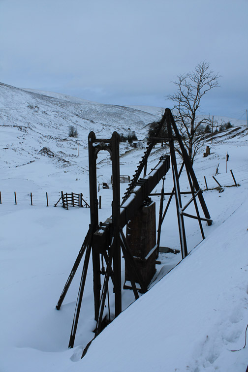
The pumping engine was originally used to help clear the water out of the old mines workings 500 feet below.
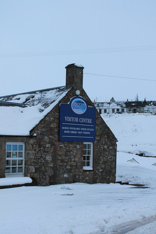
Many of the cottages had Wanlockhead / Hidden Treasures visitor signs as the village owes its existence to lead and other minerals. They were first mined in Roman Times but the village officially dates from 1680 when a lead smelting plant and many of the workers cottages were built. Lead, zinc, copper and silver were mined nearby plus the high quality gold from here was used for the ancient Scottish Royal Crown. The village is a popular tourist centre in the summer season, particularly if you are into old mining history.
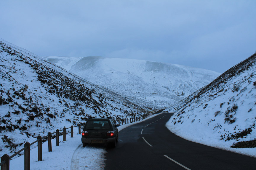
Time to head back down to the lowlands . . . the roads were remarkably clear given the amount of snow around.
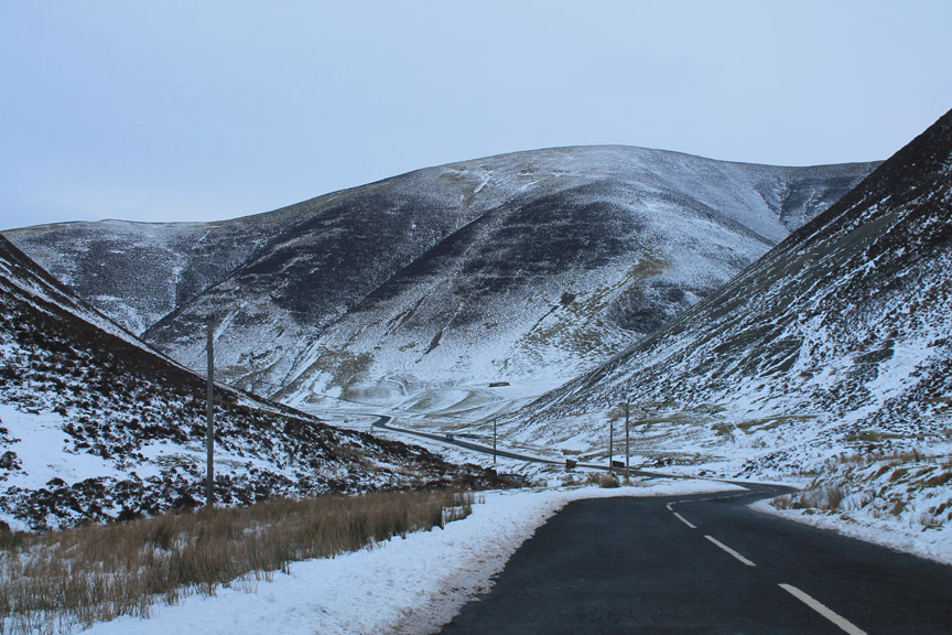
Down through the Mennock Pass . . .
. . . back to the warm comfort of the Trigony Hotel. - - - o o o - - - |
Technical note: Pictures taken with either Ann's Canon Sureshot SX220, my Canon G10 or 1100D SLR digital cameras. Resized in Photoshop, and built up on a Dreamweaver web builder. This site best viewed with . . . a few days off to take before the holiday-year end. Go to Top . . . © RmH . . . Email me here Previous walk - 21st January 2013 - Local and Calvert Cumbrian Views in this direction - 5th December 2012 Knock Murton with Ann Next walk - 25 - 26th January 2013 - A short Scottish Break - Part 2
|