![]()

|
|
|
|
" 5. Santorini, Greece ~ final day ~ " Date & Time: Tuesday 9th October 2012. Locations : A drive round the island of Santorini. Places visited : Oia, Vourvoulos, Akrotiri & the lighthouse, Perrisa Bay, Pyrgos Kallistis, ending up at the airport. Accommodation : Cheladonia Traditional Villas Oia, Santorini, Greece. With : Ann and myself ( Harry and Bethan were being doggie-sat by friends back home) Weather : Sunshine and blue skies all the way.
|
" 5. Santorini, Greece ~ final day ~ " at EveryTrail [ Alter the settings to zoom or change the Map, use Everytrail to download the Gps route ] |
|
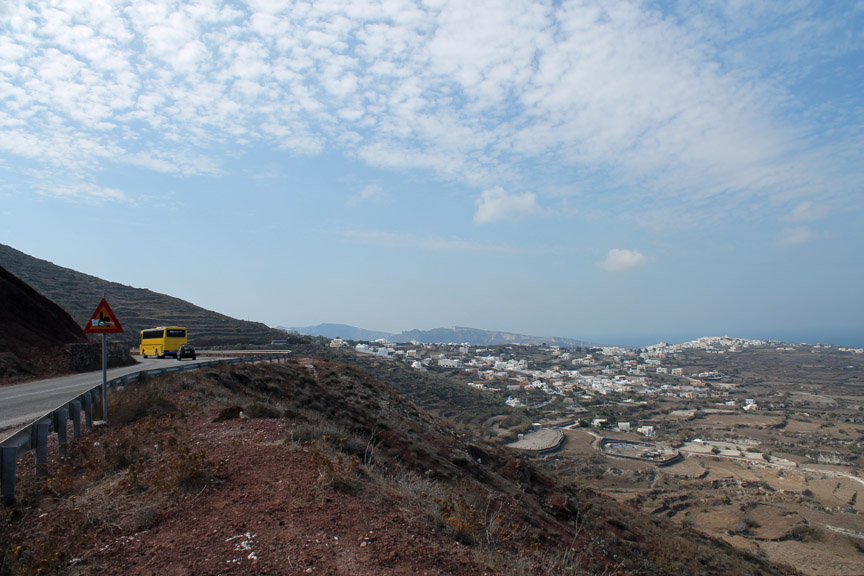
Sadly we have to leave our accommodation today as our holiday is drawing to a close. It's nine in the morning and our flight is at nine o'clock tonight. Instead of hanging about Oia and then spending 25 Euros on an airport taxi we invest 40 Euros in an all day car hire . . . a brilliant decision ! We are now free to travel the length and breadth of Santorini and to see those parts of the islands that we had not yet visited. Show the gentleman my UK driving licence, hand over the fee and remember . . . drive on the right !
We take the main road out of Oia heading south around the island. The main road skirts around the side of the hill that we walked yesterday.
The beach at Pori. No sand but a steeply shelving beach of fine black pebbles.
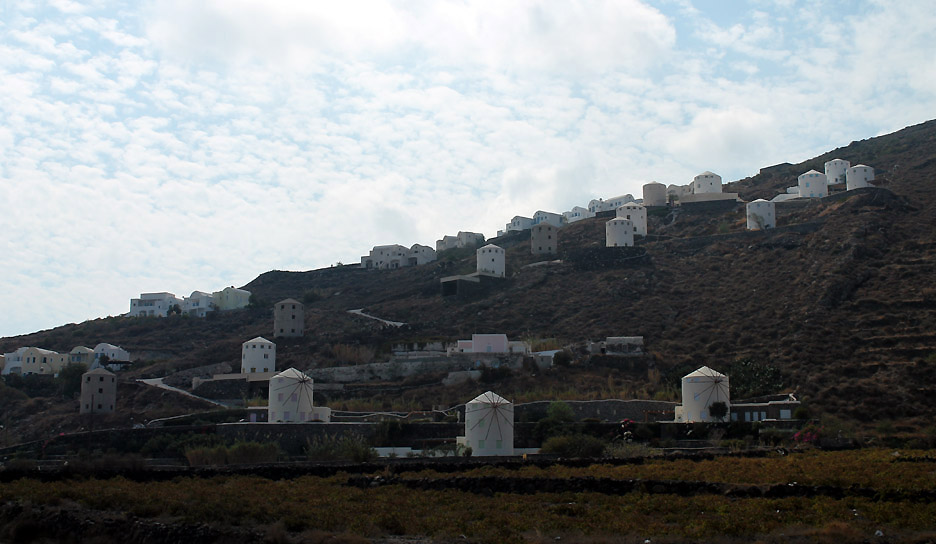
Driving along the lower coast road we passed the holiday development that we looked down on from above. It seems many of the homes, designed like windmills, do actually have the classic Greek windmill spars in place.
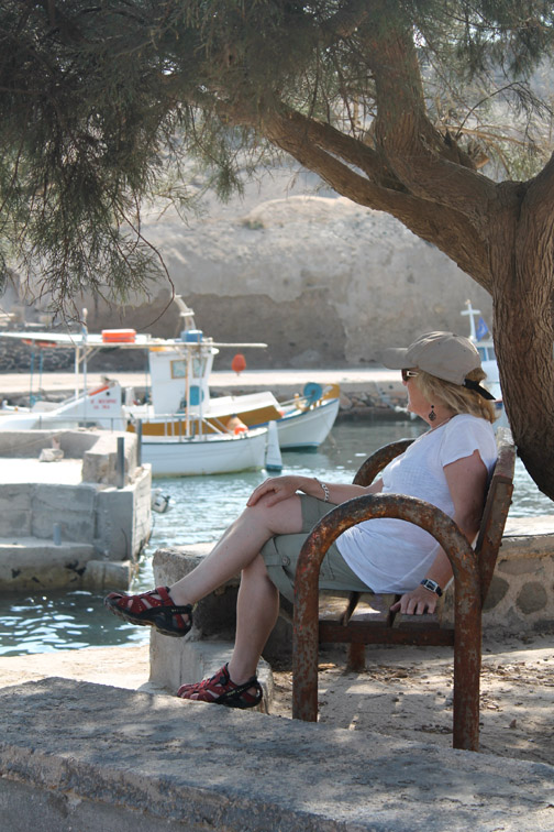
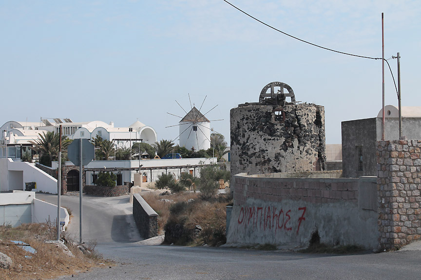
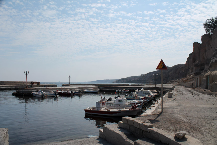
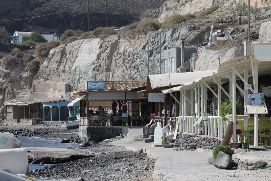
We turn at Vourvoulos to go down to the next harbour along the coast. Here there was an old windmill, its mechanism open to the sky where the roof had disintegrated.
Surprise, surprise . . . this must be the Santorini Driving School. The compound was set out with a miniature driving course but the signs seemed totally out of scale with the road. I imagine it was for cycle or motor cycle training rather than cars.
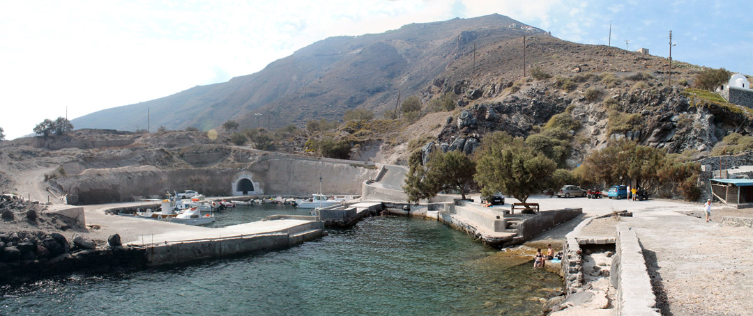
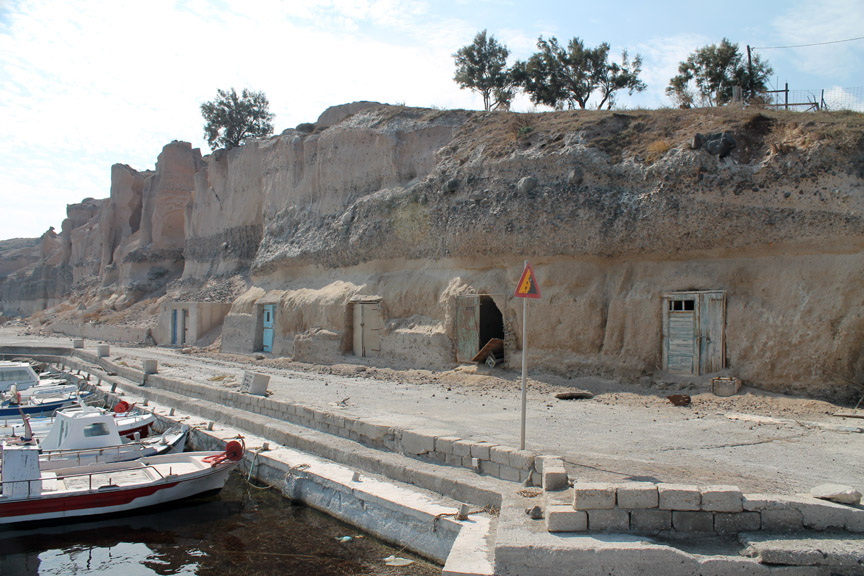
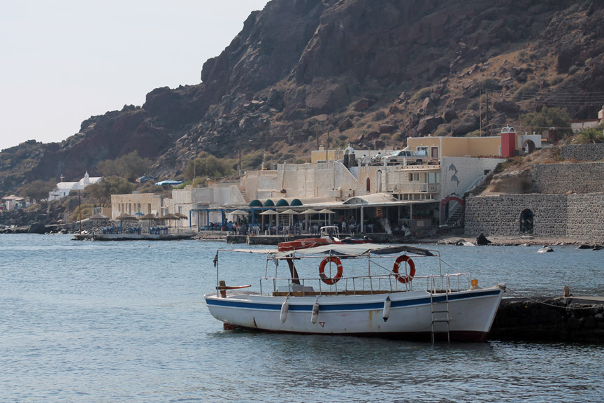
The harbour at Vourvoulos has classic underground caves where fishermen's boats used to be stored.
Nowadays there's a modern harbour full of small craft, but seemingly few commercial fishing boats.
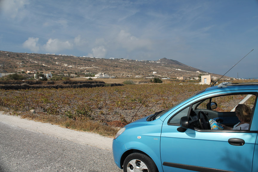
That's Ann studying our non-detailed, tourist 1:50k map, in the car that we hired for the day. Check out the crop in the field behind . . . any ideas ?
They look rather parched at the end of the summer season . . . does the close-up give you any more clues ?
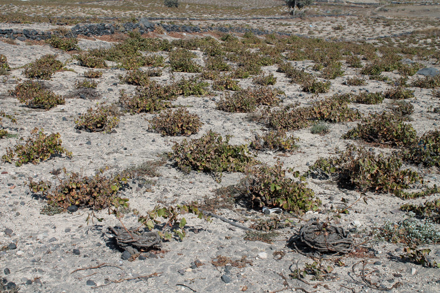
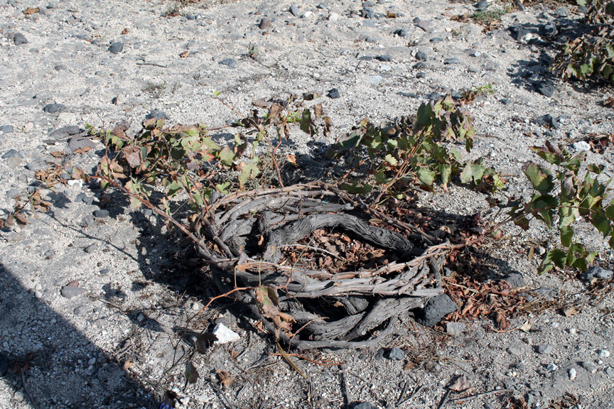
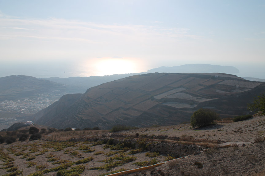
The answer is . . . grapes ! The vineyards here are different from the classic regimented rows of vines, trained along fences, that we've seen elsewhere in the world. Here the plants are coiled to protect them from the wind. As the sunshine is overhead and plentiful there's no need to string them out to catch the light. Santorini therefore grow their vines in a curled bundle which forms leaves and grapes, and grow into the shape of a low bushes. - - - o o o - - - Moving on, we climb back up the hill and join the main island road in Fira.
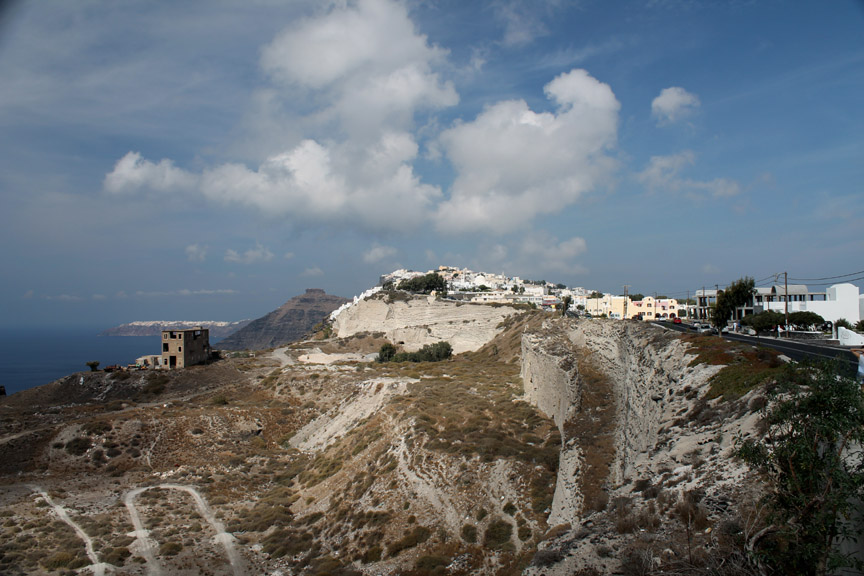
The main road runs along the side of the caldera passing what looks like a huge quarry. Maybe it was just a geological fault line . . . but it certainly was a tall and sheer white limestone-like cliff. On the hill, Firastefani and beyond it, the distinctive shape of the Skaros rock headland.
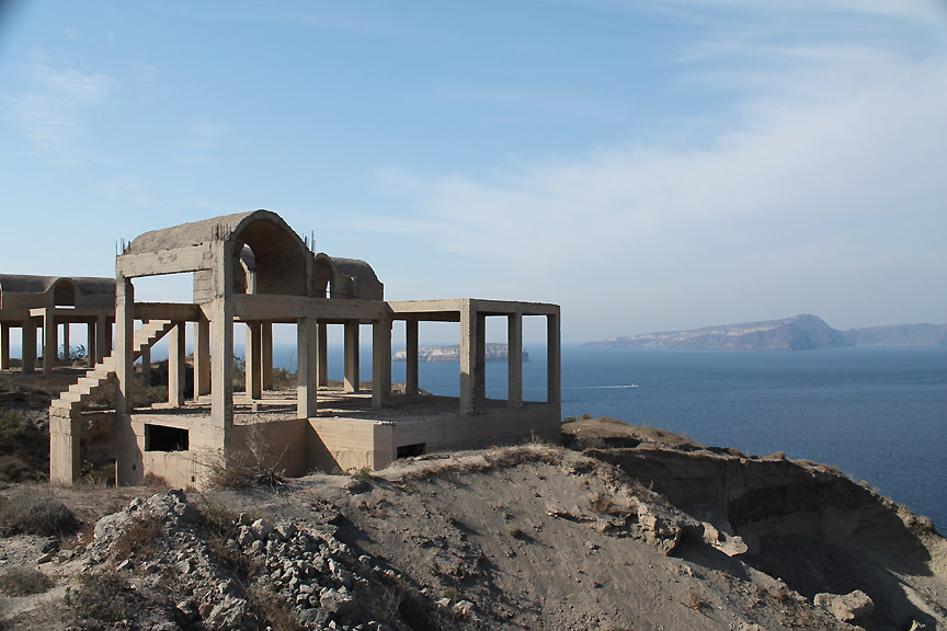
More partially built buildings alongside the road as we turn for Akrotiri.
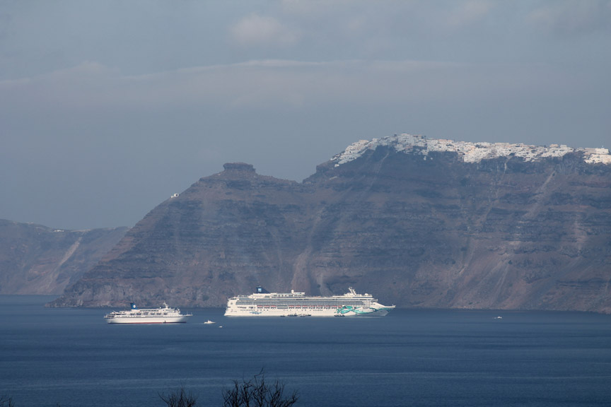
Cruise ships in the bay. Every time we looked during the week there was a different selection anchored off the Athinios Port.
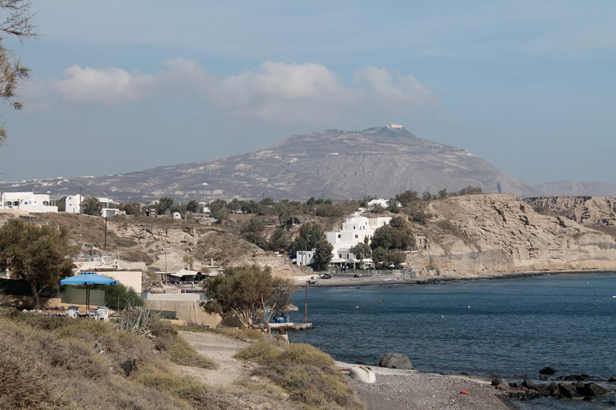
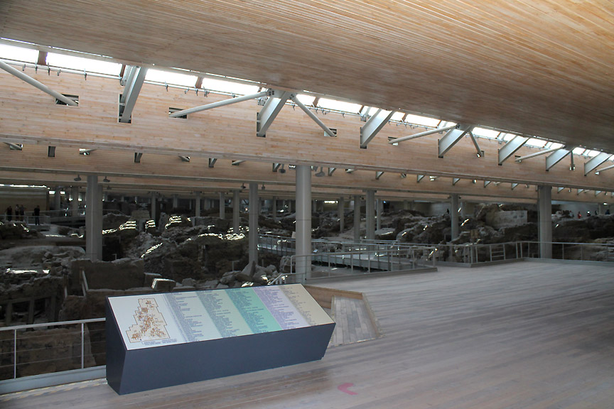
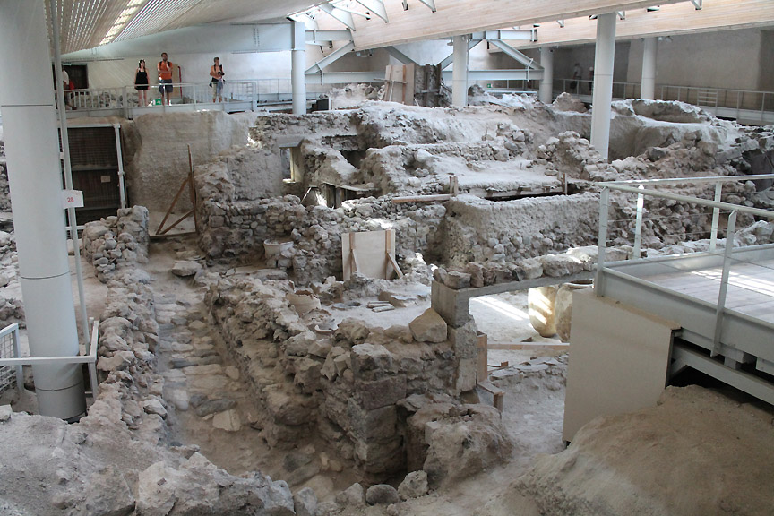
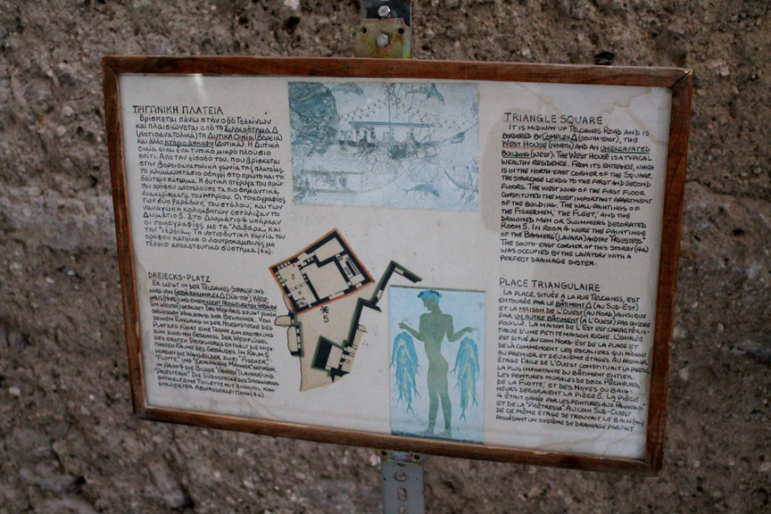
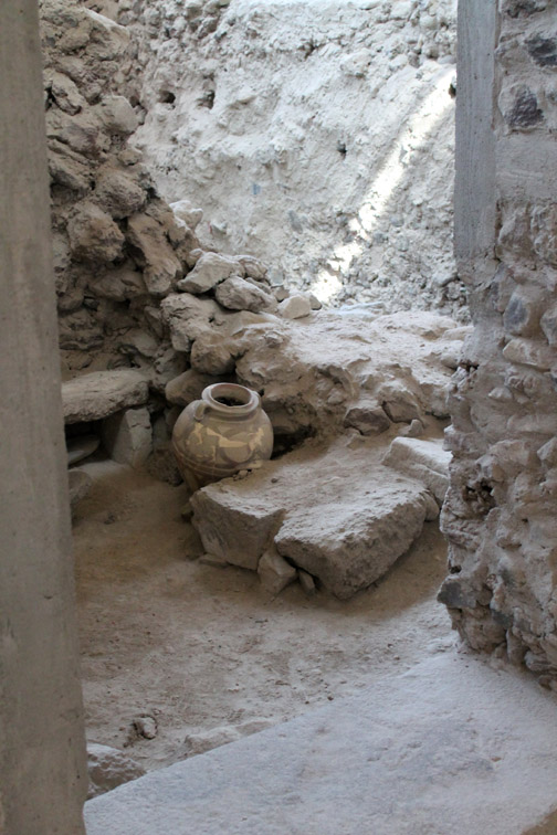
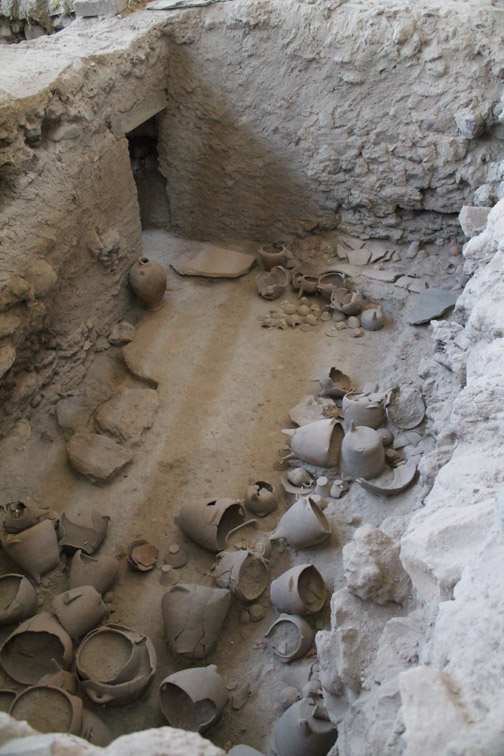
We reach the southern shore of the island at Akrotiri . . . the high ground behind being Mount Profiti Ilia. - - - o o o - - - Akrotiri is famous for its ancient buried civilisation. Like Pompeii, the ancient town of Akrotiri was destroyed by a volcanic explosion that buried it in dust and rubble. Life in the town ended with the explosion in 3000 BC but recent excavations have revealed the buildings once again.
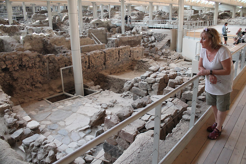
The Government through the Athens Archaeological Society have excavated the site and in recent years have covered the site over with a huge roof to protect it from the extremes of the Santorini climate.
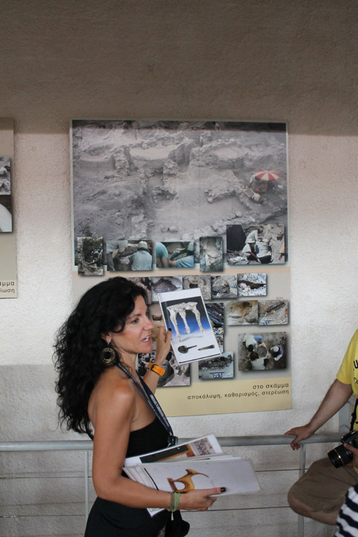
The picture the lady holds up is of an ornate three-legged table. Its existence was found by pouring molten wax into a void in the rubble. The resultant shape, and hence proof of the finery of their woodworking skills at that time, was revealed when they excavated away the dust and exposed the shape of the ornate table through the remaining wax.
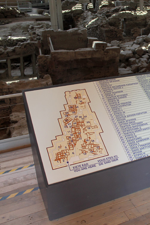
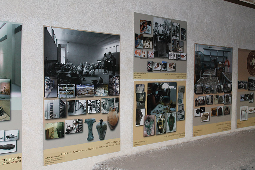
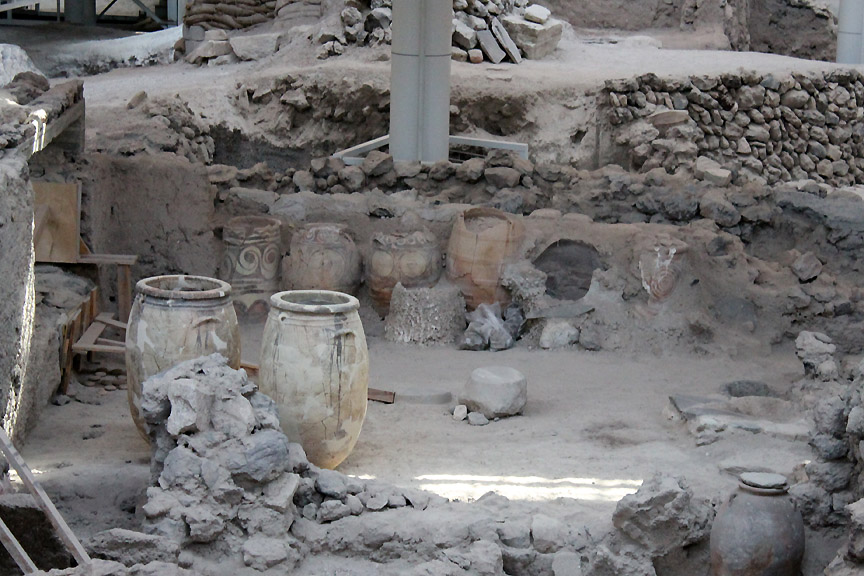
Some of the finds and many of the techniques used have been outlined on series of display boards set against the walls.
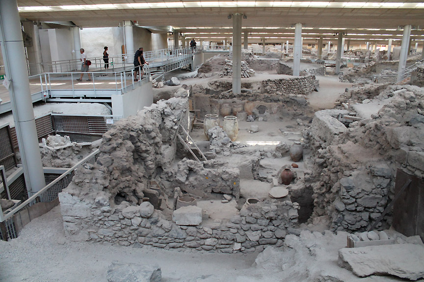
The site is " work in progress" and we were able to see around the township from the elevated walkways.
The site dates from the Neolithic period, 5,000 years B.C. up to the 17th century B.C. and the deep excavations for the roof pillars exposed a whole wealth of historic data.
The explosion and subsequent covering of volcanic ash helped preserve a snapshot of life at that time.
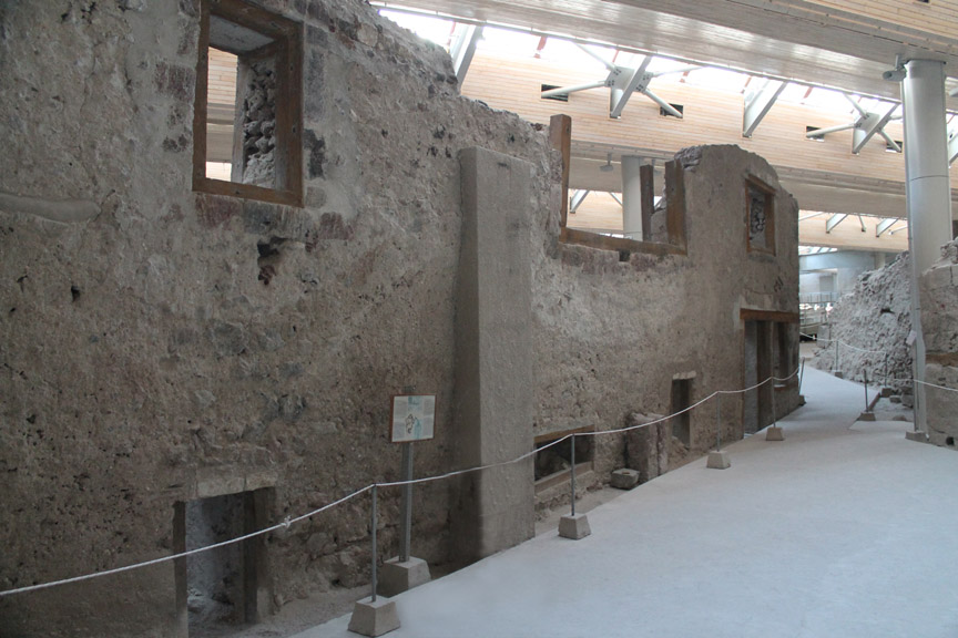
Santorini was the centre of a wealthy and prosperous civilisation. This major house reached to two stories and many had evidence of wall paintings and the trappings of a prosperous consumer society.
Some of the famous paintings and carvings that we had seen portrayed on island postcards emanated from this site.
It was an interesting place . . . but I might just say that it would have been more interesting to have seen the originals, or at least a replica of some of the artifacts, on display in their original site now that the rather intrusive roof offers a climate-controlled environment in which to view them. - - - o o o - - - Lets go back out into the heat of the midday sun and see the rest of the peninsular . . .
Beach front tavernas . . . looking almost as dusty as the dig site ! The rise and fall of the tide here during the day is less than a foot so the sea is never far from the front steps.
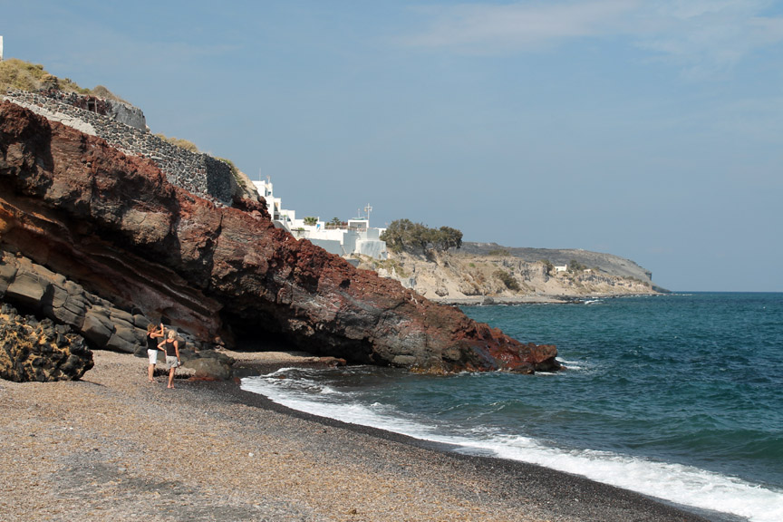
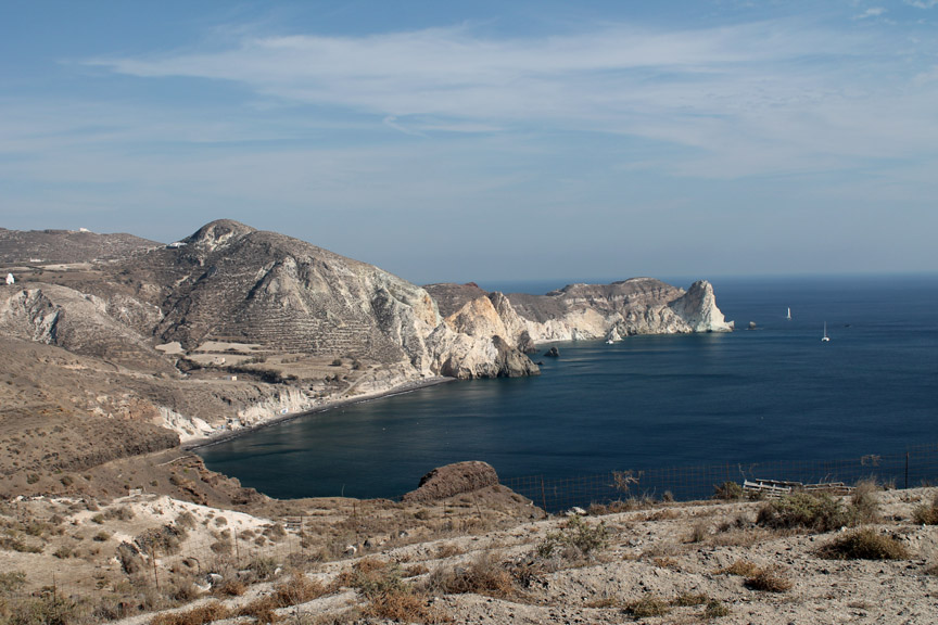
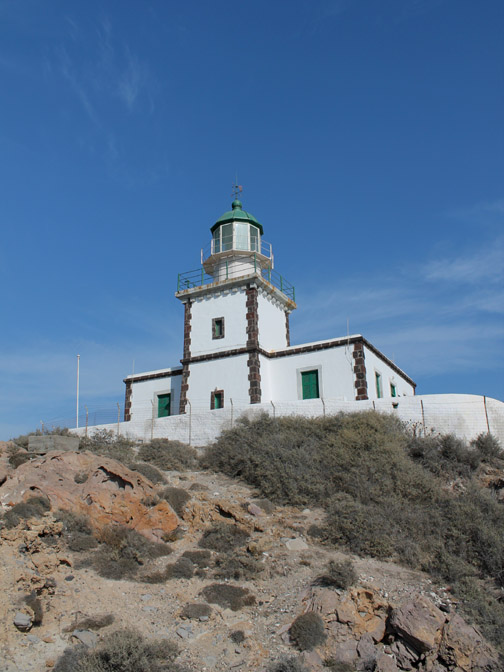
These guys were offering a boat trip round the bay to see the Red Beach and lighthouse which were around the next headland.
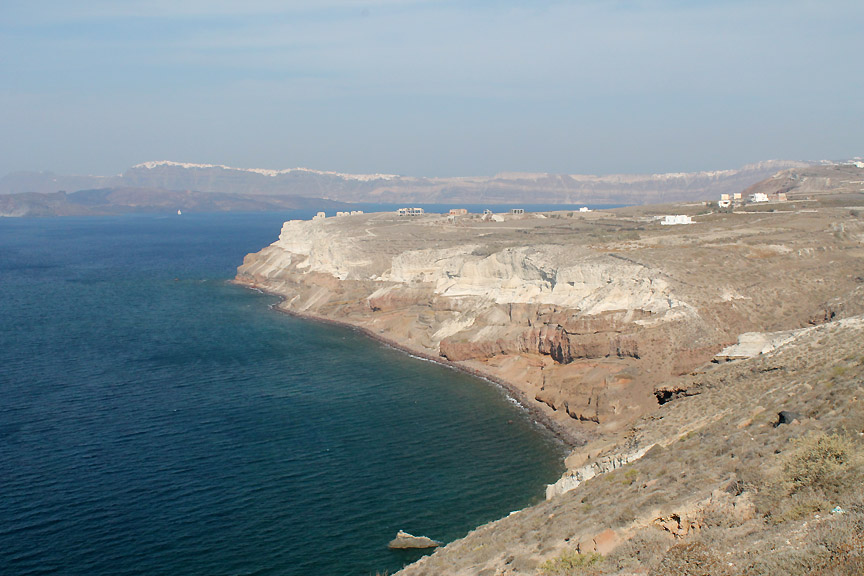
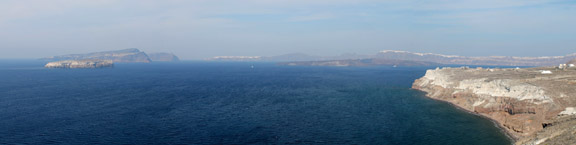
This was barren but stunning scenery but they did have field systems laid out. I walked over what seemed like coarse dry sand to take this photo of the white headland we had seen from our boat trip a few days ago. [ Hold your cursor over the picture to see the headland viewed from the boat ]
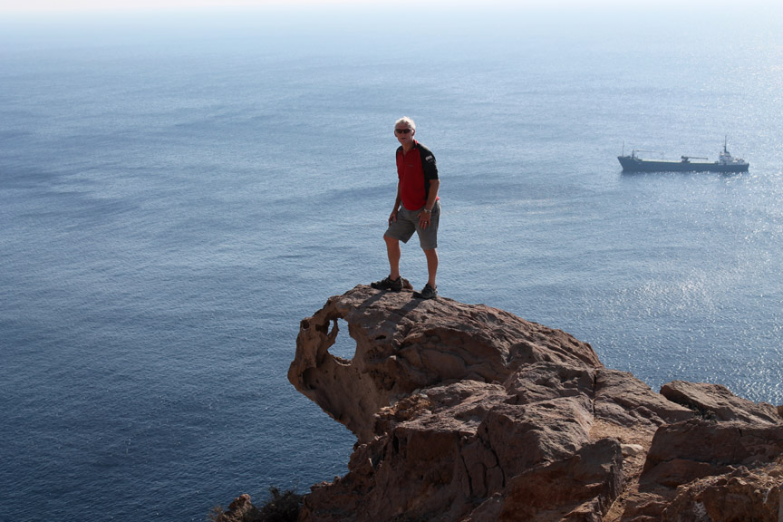
Land's End Santorini style is a turtle shaped rock which juts out over the cliff. You could say that this is the " head " of the headland perhaps ? - - - o o o - - - Time to be heading back as we have two more places to see and hopefully a meal to enjoy before the flight home.
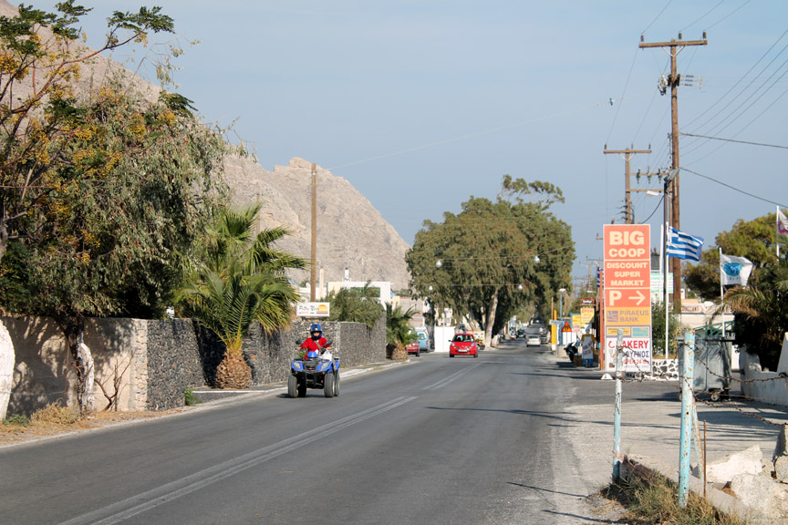
The main drag into Perissa There are many places hiring out quad bikes instead of cars or bikes on the island. In such a relatively small island that seems like a good idea, but it still seems strange to meet so many of them on the open road.
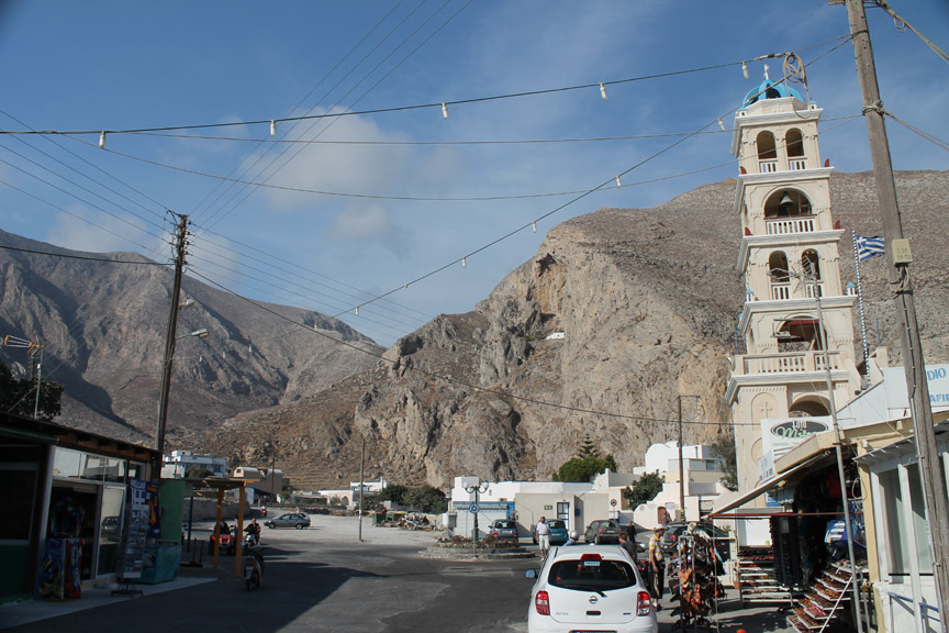
Town centre ~ Perissa Note the white chapel or hermitage high on the cliffs above . . . it must be a bit of a climb to reach that one. The power lines, which have been removed from the picturesque streets of Oia, are still very much in evidence here.
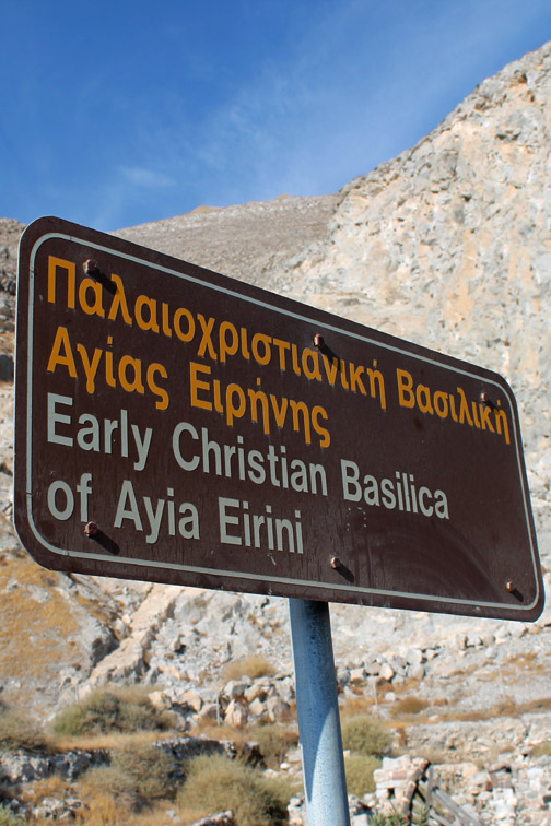
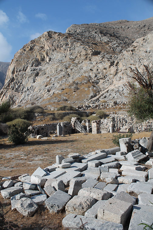
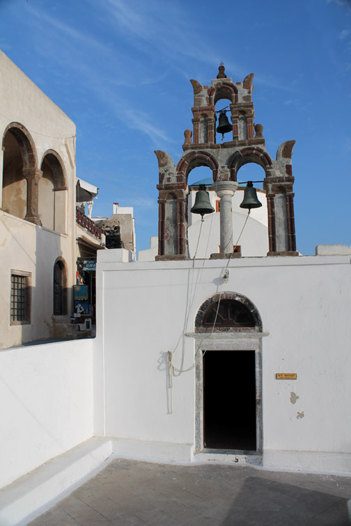
The island of Santorini takes its name from Saint Irene This presumably was the church where she lived or perhaps first landed on the island.
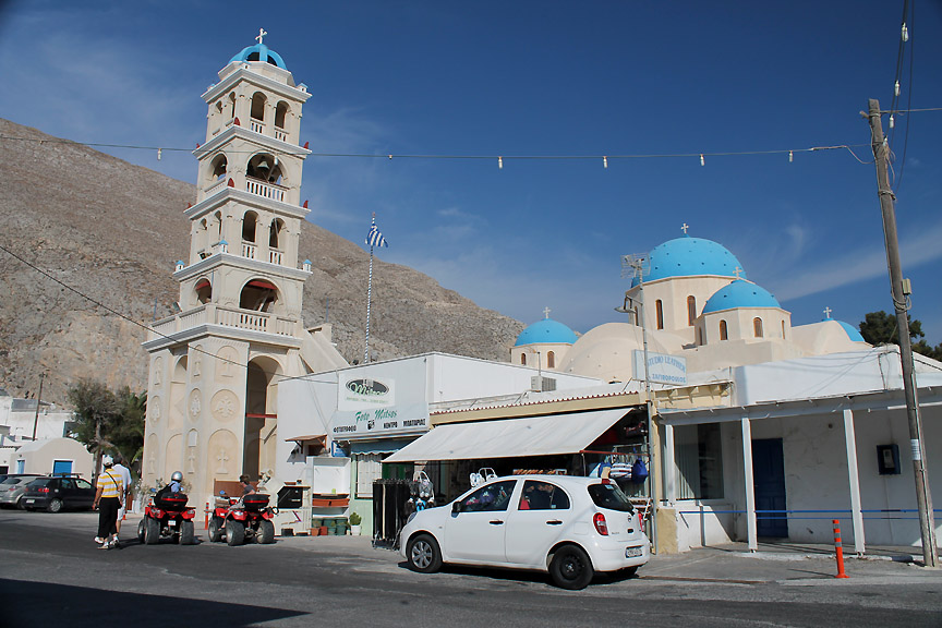
A more modern church stands close by, along with its impressive bell tower.
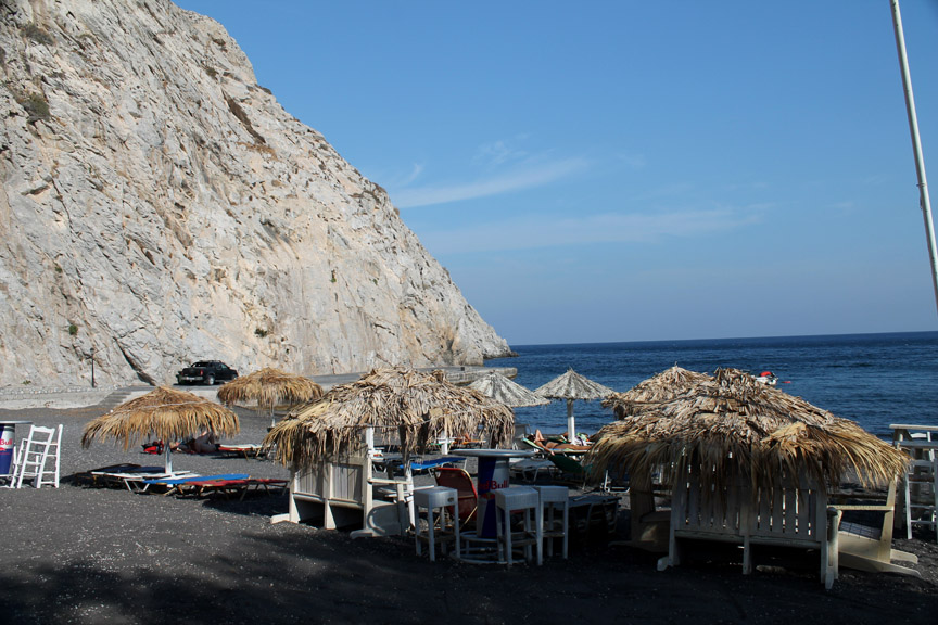
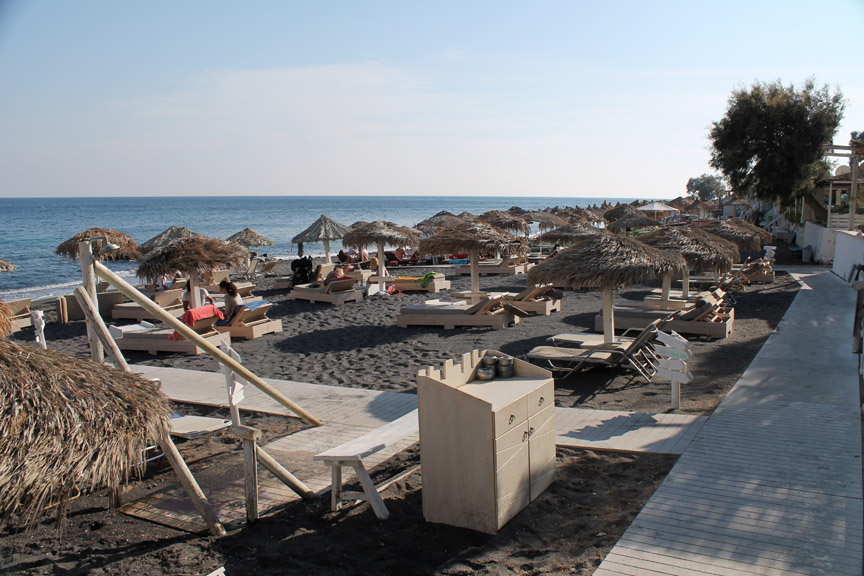
Perissa is famous for is beach front and black sands. No chance of lying out on the beach in high season . . . the gravel is too hot and the sun too intense.
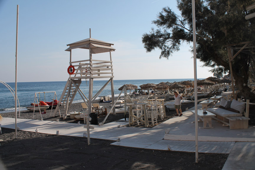
Everywhere there are walk ways and parasols. This is a very commercial area with jet boats for hire and lifeguard service for those that take a dip in the sea.
The tavernas extend their waiter service right onto the beach it seems and the parasols extend as far as the eye can see . . . Mmmm . . . not our style and a bit too crowded in high season for us !
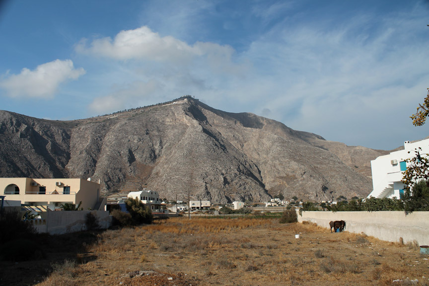
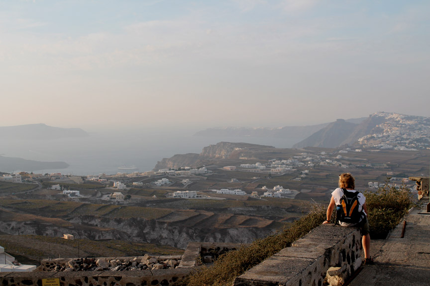
We prefer the high places and less folk. Above the town is the the summit of Mount Profiti Ilia.
We retrace our steps and drive up towards the summit. This is the view south along the Akrotiri Peninsular and south into the sun to a few small rock islands away off the coast.
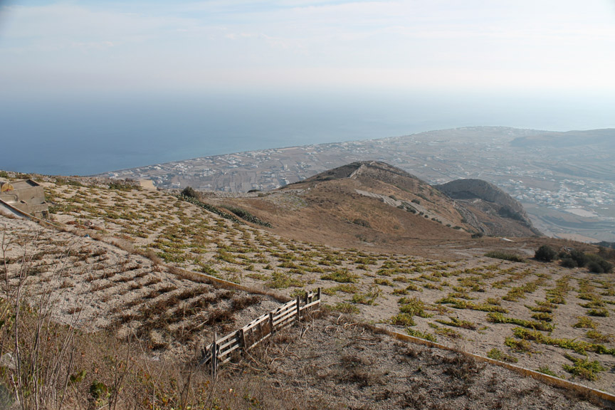
There are extensive vineyards up here. The coast below is Perissa . . . that we have just driven up from.
Looking the other way, north over the mountain, we can see the flatter east side of the island and the airport that we need to be at in a few hours time. First though, we'll drive down to the village on the top of the small hill below . . . Pyrgos has been highly recommended for a visit.
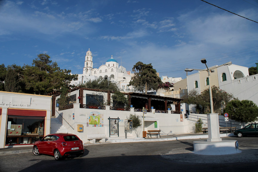
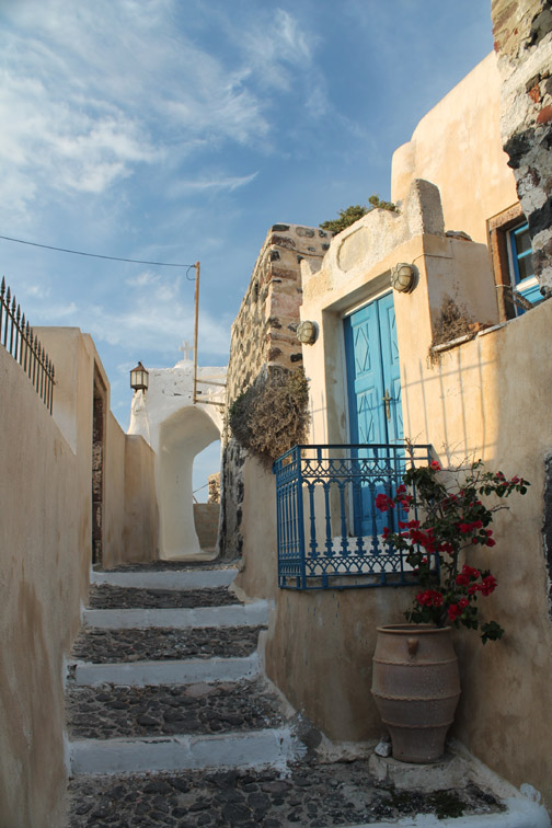
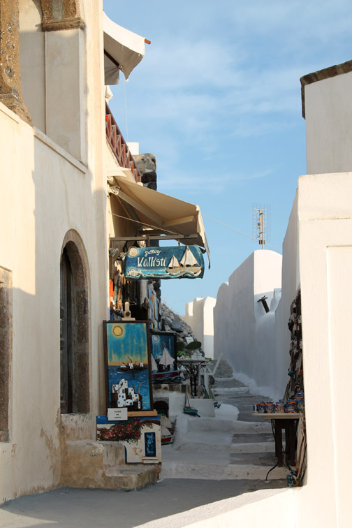
Pyrgos Kallistis . . . the main square.
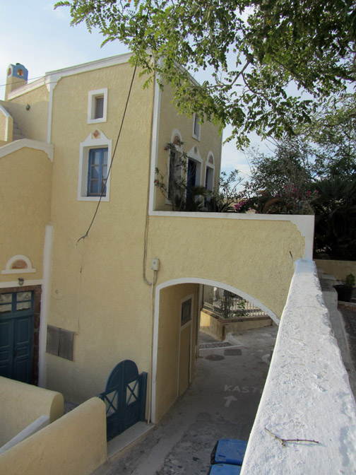
Pyrgos seems to be a less commercialised version of Oia . . . it is certainly on no-one's coach itinerary today.
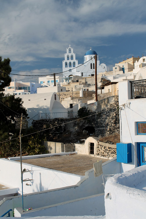
We walk up through the houses, one or two of which look rather grand.
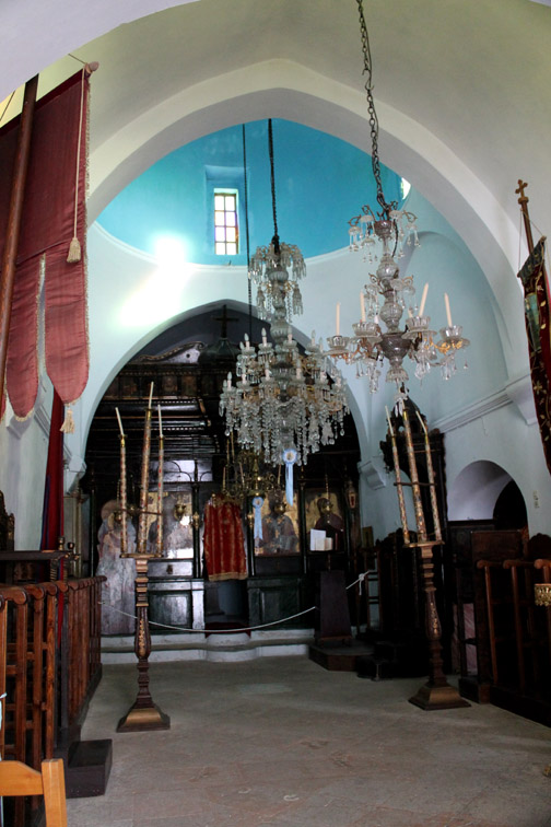
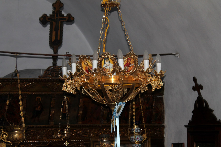
Detail of one of the chandeliers towards the front of the church.
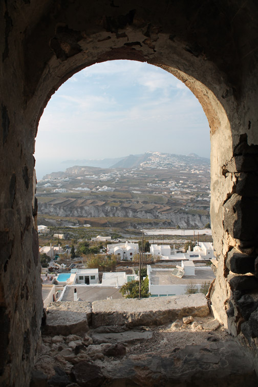
What a lovely way to end our stay . . . an extensive view of the island . . . Thirasia island, the cruise ships, Firastefani, Skaros Rock and distant headland with Oia away in the haze.
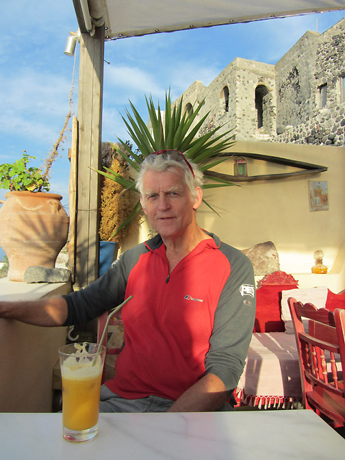
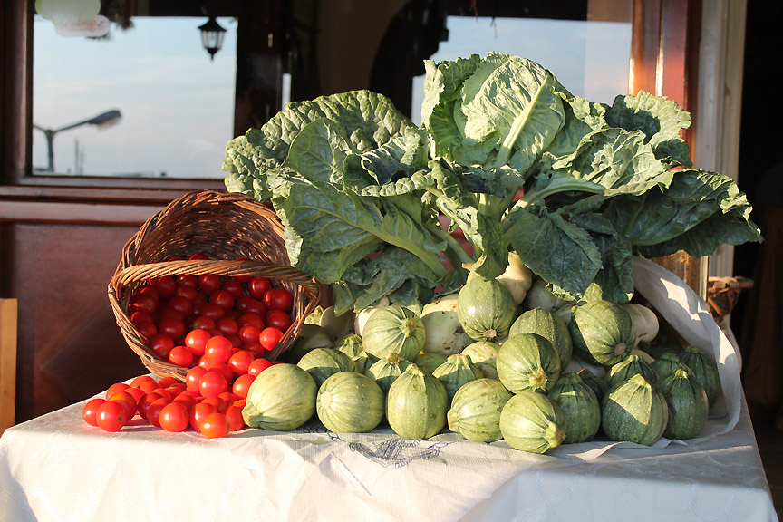
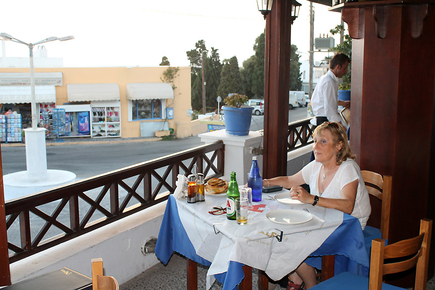
Any taverna that can put on a fresh display like this must appreciate good food.
So it was to be Taverna Kallisti for our early evening meal.
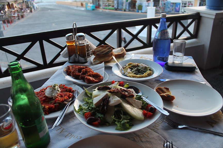
All the classic greek dishes that we had tasted over the past week were on the menu. We chose, white aubergines with a tomato salsa, tomato fritters, Fava (yellow split peas) and Greek salad. A veritable feast that would sustain us all the way home.
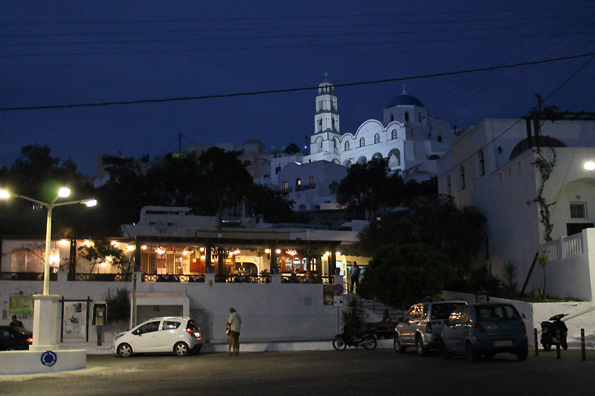
As we dined, the sun set and we left the village as the lights were staring to come on. The recommendation we had received about Pyrgos was certainly well founded . . . thanks to Erica at Cheladonia Villas
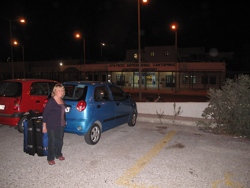
Bags packed and ready to go. We leave the hire car and cross the road to the airport terminal.
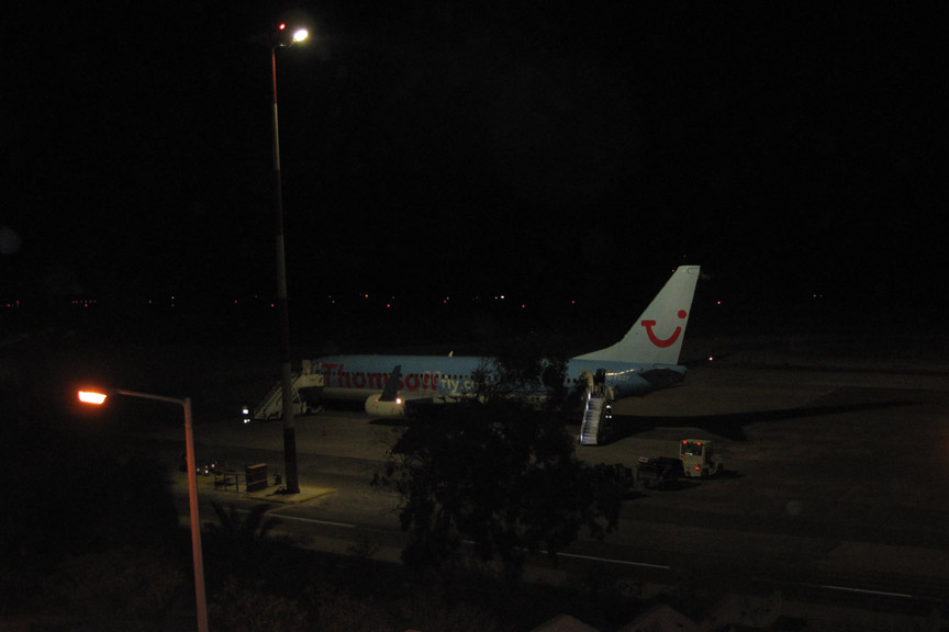
The last flight of the season for Thomson's. This was the end of the excursion season for them and the aircraft was full. There just remained the four hour flight home and our drive back up the English motorway system to Cumbria. Remember . . . it's driving on the left from now on !
|
- - - o o o - - - Technical note: Pictures taken with either Ann's Canon Sureshot SX220, my Canon G10 or 1100D Digital SLR. Resized in Photoshop, and built up on a Dreamweaver web builder. This site best viewed with . . . . a camera full of fond memories. Go to Top - Go to page 1 2 3 4 5 Email me here # © RmH # Go to Home page
|