![]()

Remember: Press F11 for a full
screen view of this page.
|
|
|
Remember: Press F11 for a full
screen view of this page. |
| " Richard and Rosie's Grand Tour " Date & start time: Saturday 15th September 2012, midday start. Location of Start : The red phone box, Loweswater , Cumbria, Uk ( NY 143 211 ) Places visited : A grand circle of the Lakes by road, Wasdale, Eskdale, Langdale and home Walk details : Local walks only. High point : Renewing holiday friendships. Walked with : Richard, Rosie, Ann and the dogs, Harry and Bethan. Weather : Not the best . . . but could be worse ! |
" Richard and Rosie's Grand Tour " at EveryTrail [ Alter the settings to zoom or change the Map, use Everytrail to download the Gps route ] |
|
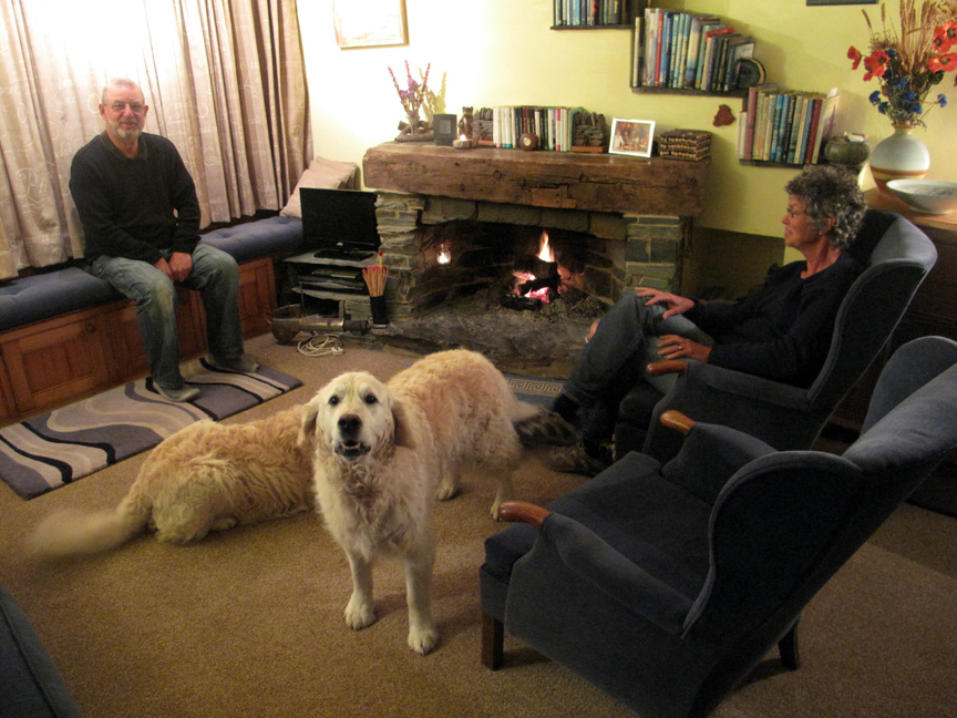
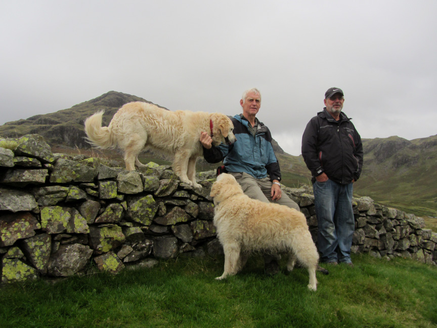
Friends that we met in Australia four years ago and whom we stayed with in New Zealand are over in the UK and we are able to return the hospitality they offered to us while they are in the Lake District for a few days.
A nice warm log fire . . . . very cosy and practical as the weather has taken a turn for the worse tonight. Harry is trying to say something . . . but words fail him ! - - - o o o - - - There is so much to see in the Lakes that we find a drive round often puts the landscape in perspective so we leave Loweswater and start an anti-clockwise "World Tour of the Lake District"
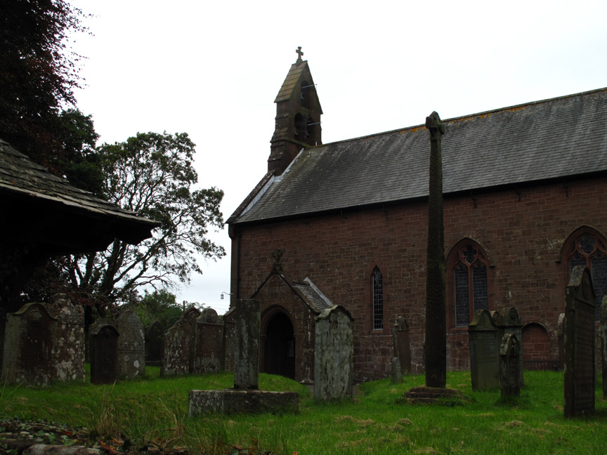
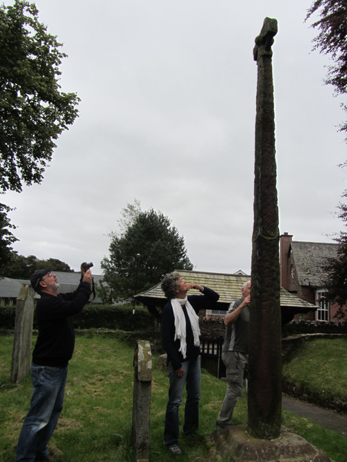
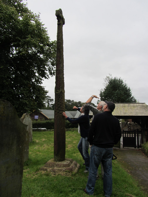
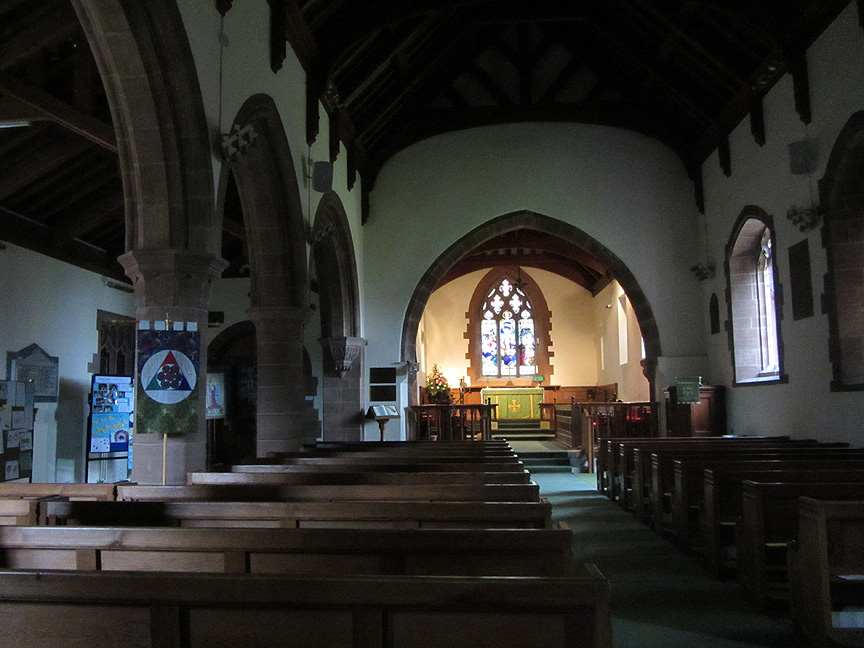
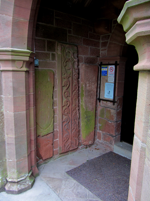
First stop on Saturday morning is in Gosforth on the west coast. The cross is thought to date from around 940 AD and contains both Pagan and Christian engravings, depicting the triumph of Christianity over the Pagan beliefs. Find out more at Gosforth - St Mary's Church
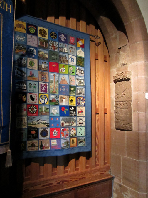
Inside the well kept church there are lots of helpful notices and booklets and a light switch next to the donations box.
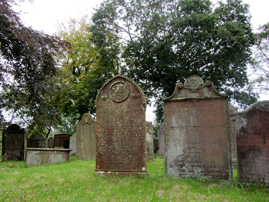
Even a short walk around the graveyard revealed the long history of the site. Read more and see a few extra pictures from the time we were here in February.
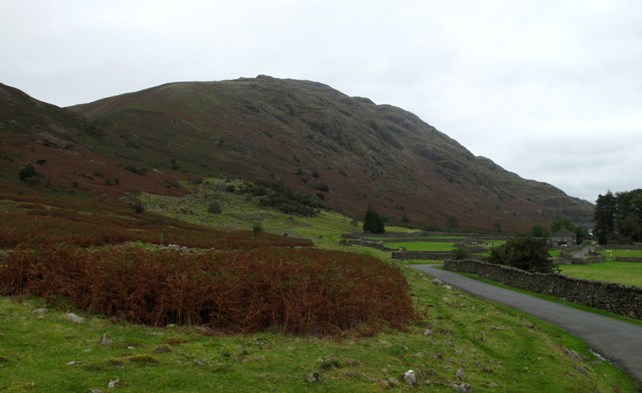
From Gosforth we divert into Wasdale to see the lake. This is Middle Fell as we approach the little hamlet of Greendale.
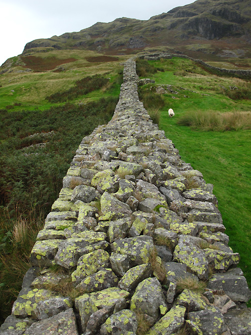
Classic stone walls line the roadsides . . . we stop to admire the view.
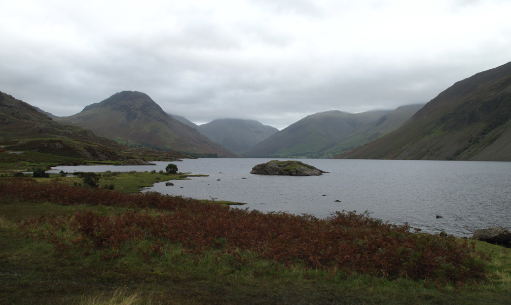
The classic view up Wast Water to Yewbarrow, Great Gable, Lingmell and the Scafells. Unfortunately many of the tops were obscured by cloud.
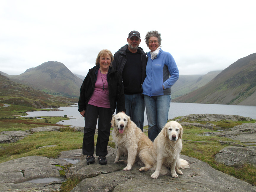
The rain held off for a group photo near the shelter. Welcome to Lakeland's iconic view . . . sorry about the weather !
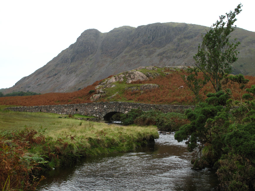
A short walk to appreciate the surroundings and to stretch the legs. This is the small bridge over Countess Beck (only the more detailed 1:25k map gives it a name)
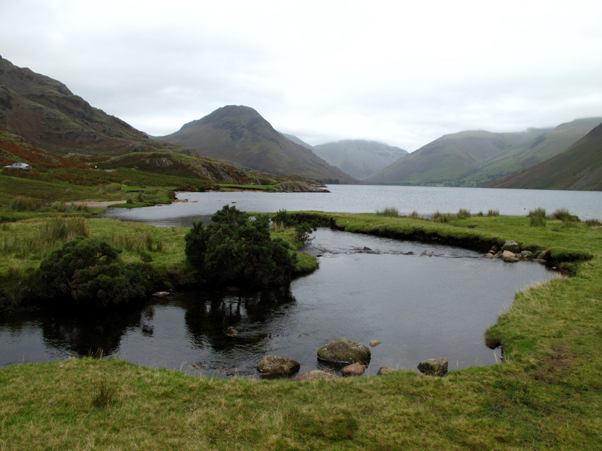
The beck takes a broad turn as it enters Wast Water.
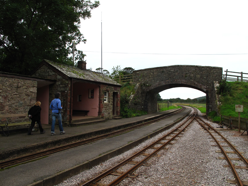
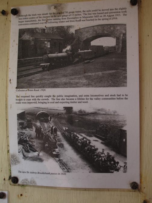
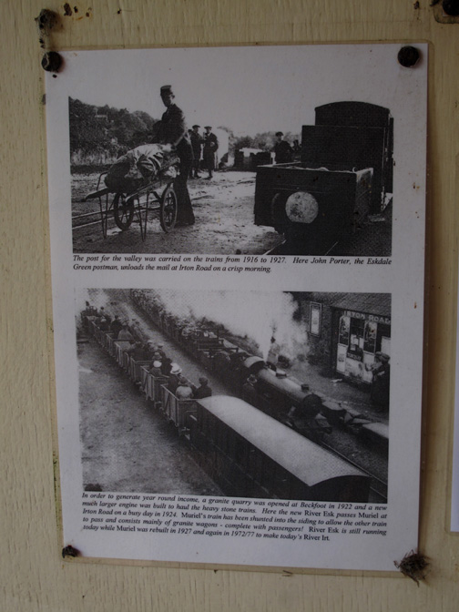
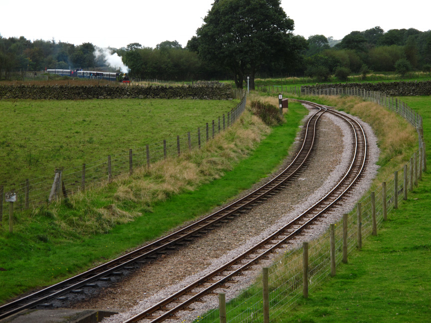
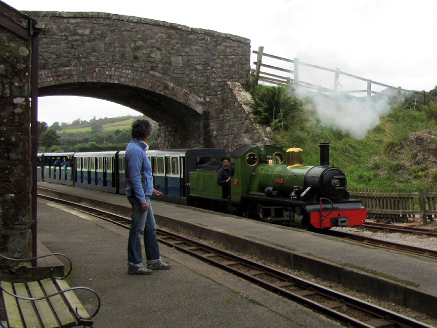
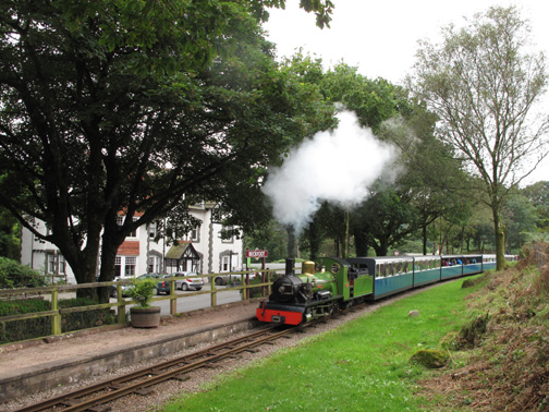
Next stop, Eskdale and "La'al Ratty", the narrow gauge railway . . . ten to the hour and all is quiet.
( Note the increased number of trees compared to the old pictures.)
A quick look at the timetable tells us a train is due . . . so I climb up onto the bridge to await its arrival.
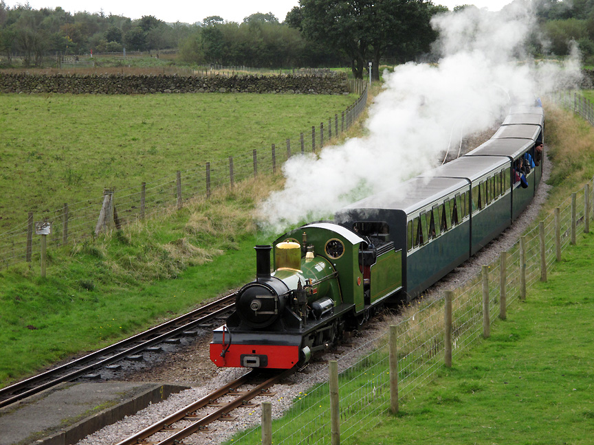
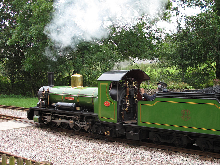
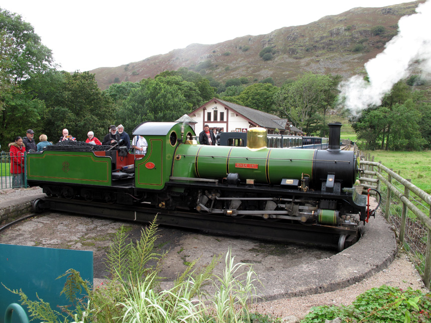
Steam hauled by the " River Irt " a 15 inch 0-8-2 configuration loco. Built in 1894 as the "Muriel", restored and re-built in 1927 and again in the 1970's, creating the engine you see today.
A fine turnout as she passes through the station.
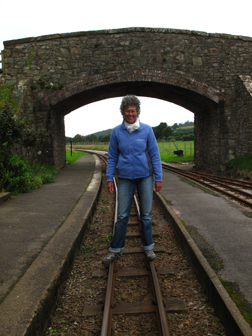
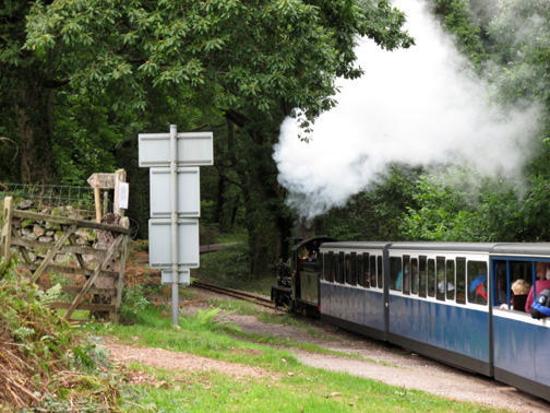
The driver asks if Rosie wanted the train to stop . . .
but she passed on the invitation . . . and the almost full train continued on its way.
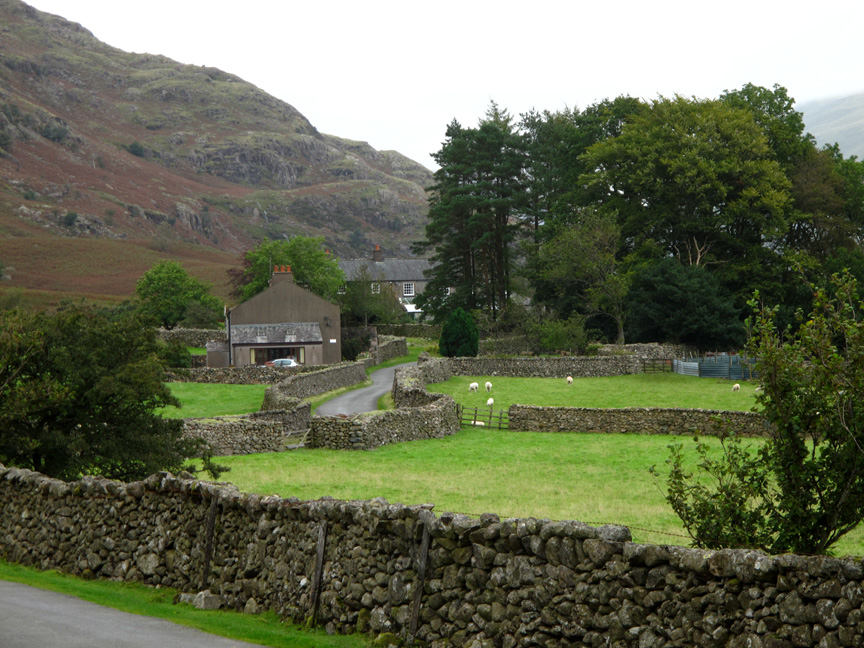
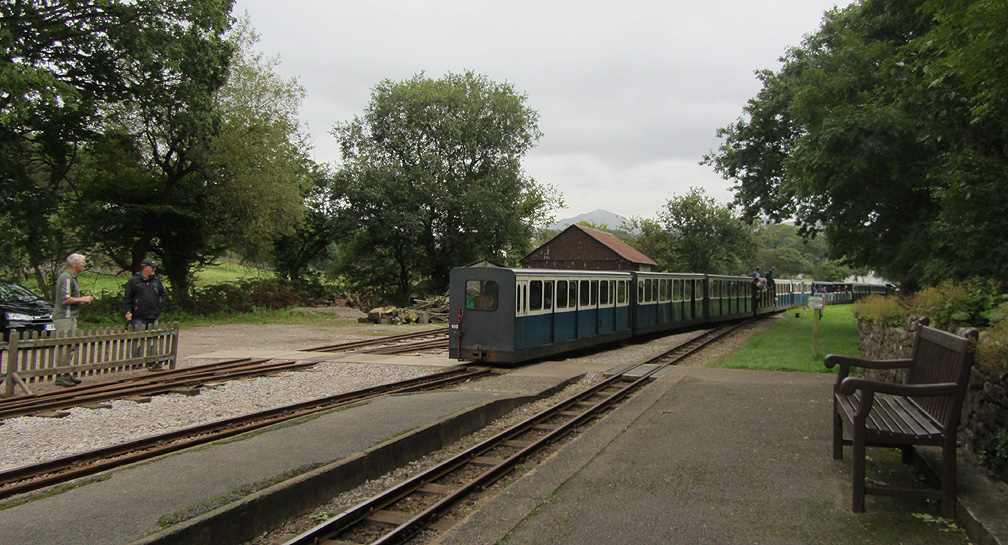
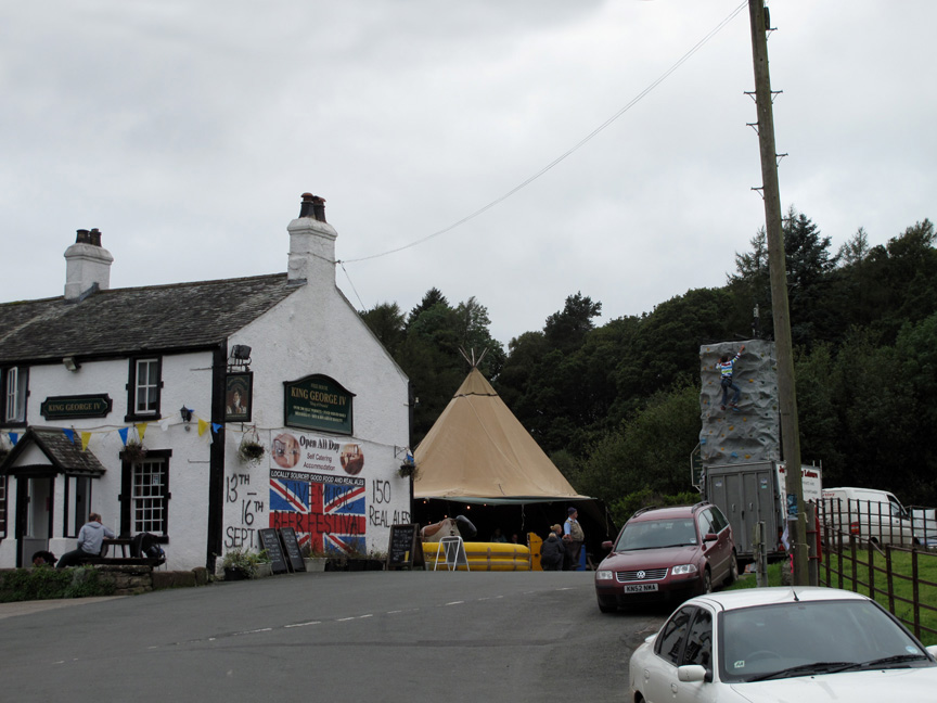
We continued on our way too . . . up the valley past the King George IV which was obviously in a local "beer festival" mood.
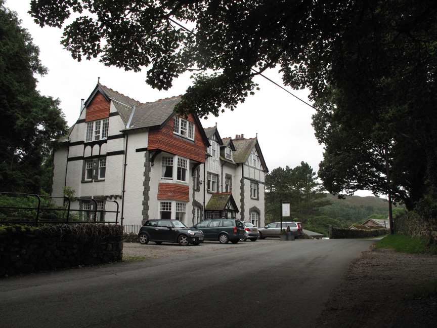
The grand house at Beckfoot . . . was a CHA hotel . . . is now Stanley House B & B accommodation It sits opposite the Beckfoot railway station . . .
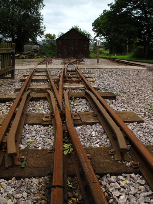
Destination Dalegarth . . . where the engine is disconnected and turned ready for the return trip in twenty minutes time.
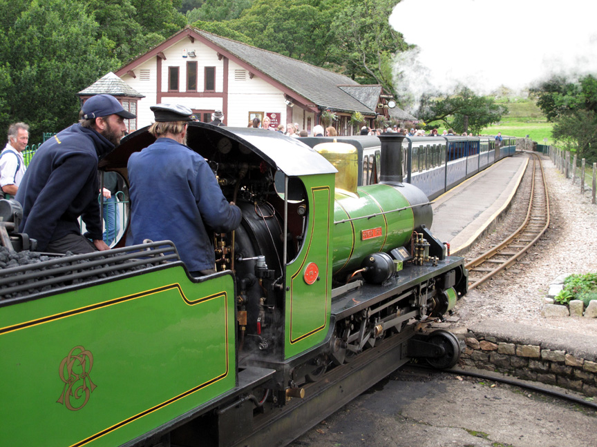
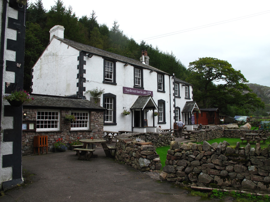
The engine driver shows the younger guardsman some of the controls. Click here for the Ravenglass and Eskdale Railway website. - - - o o o - - - After a little retail therapy at the station shop and cafe we continue up the valley to the Woolpack Inn.
The Woolpack Inn has changed hands in recent years and is much improved. ( There was a picture of lunch but I wouldn't want to spoil your appetite at this time of day !) - - - o o o - - -
Time for a short walk again so we stop off at the Hardknott Roman Fort at the head of the valley.
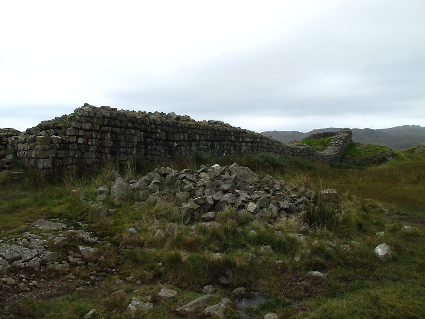
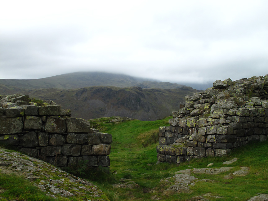
The fort was known as Mediobodgdum in Roman times and was established around the years of 120 to 138 AD. [ The wall was partially rebuilt and a slate band below the top two levels of stonework here shows the height and extent of the surviving Roman wall when the site was excavated and preserved in the 1960's . . . click on the link for more information ]
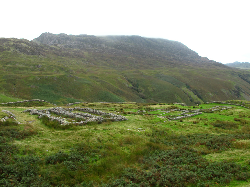
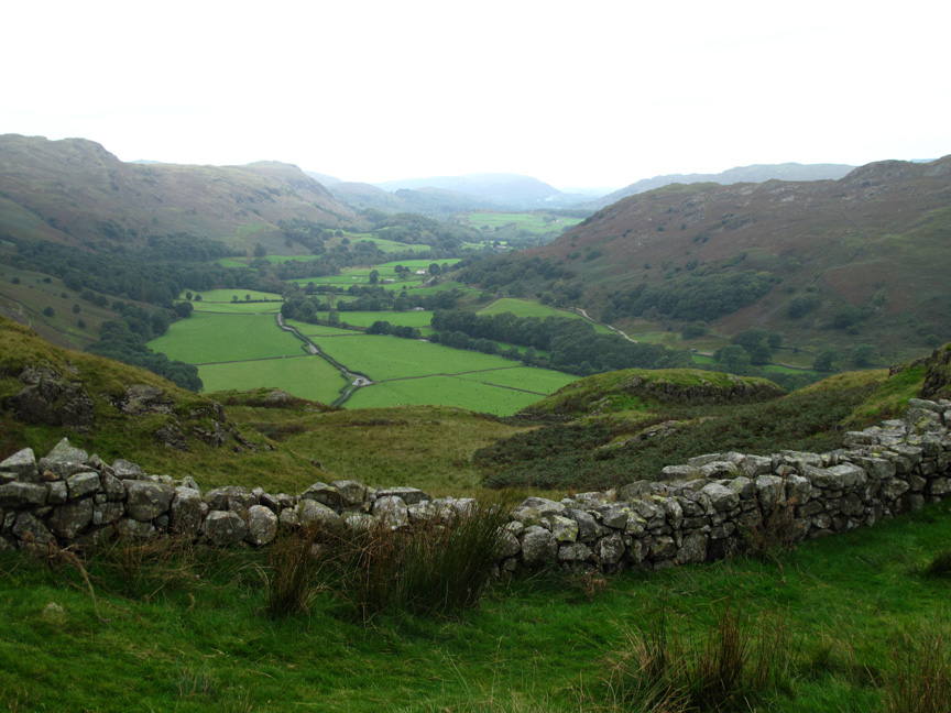
The well preserved foundations of the Granary and Commandant's House with a misty Harter Fell behind. The fort was built here to protect the Ravenglass to Ambleside Roman Road, the elevated site possibly chosen because the valley may have been full of trees.
A commanding view down into the valley. When imagining the life led by the occupants of the garrison, bear in mind that the climate two thousand years ago will have been slightly different.
That western gateway would have given lovely views of the Scafells on a good day.
Time to stop and admire the scenery.
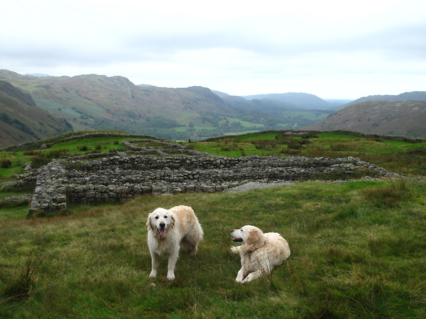
We walk up the fell side to a large patch of levelled ground above the fort. This used to be the parade ground for the fort and is one of the best surviving examples of its type in the whole of western Europe.
The lighter coloured parade ground can be seen in the far left of this photo. The others continued the walk up to the hairpin bends whilst I returned and drove the car up to meet them.
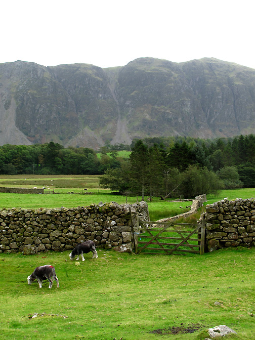
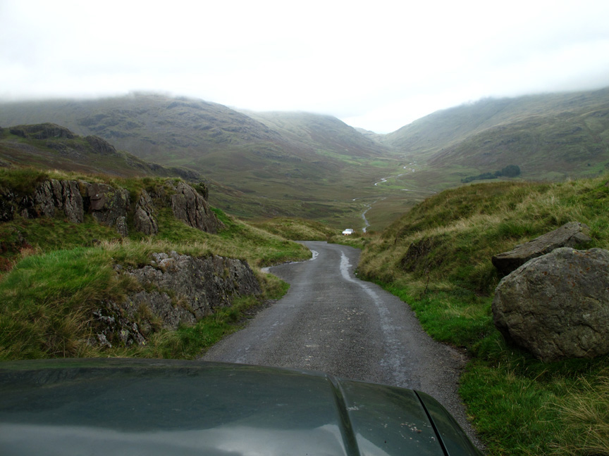
The drive up and over Hardknott Pass is not for the faint-hearted. Here we stop to allow a car driving the 1:4 hill to complete his climb up from the Duddon Valley. On the other side of the pass the flat ground is known as Wrynose Bottom, before we reach the distant climb over Wrynose Pass itself.
Over the second climb now and we look down into Little Langdale.
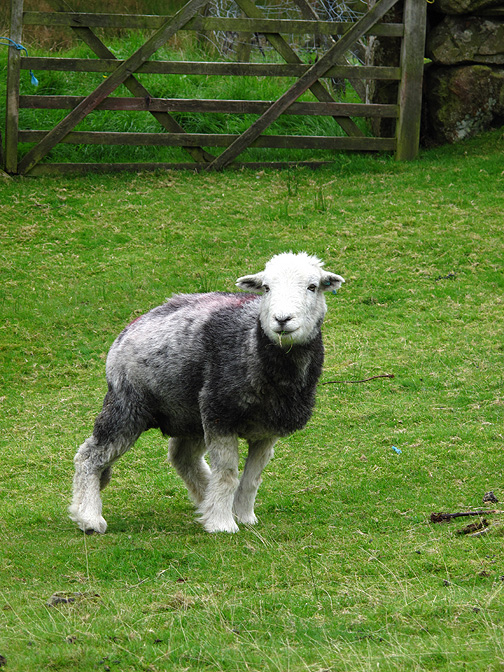
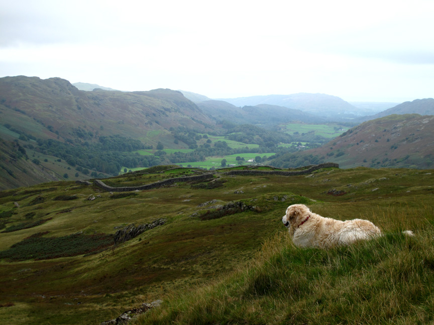
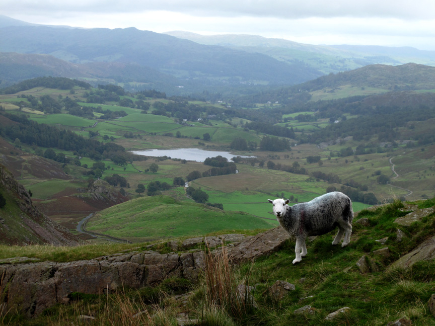
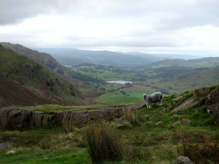
As the sheep turned to go . . . I presume you could call this place "Herdwick's Bottom" !
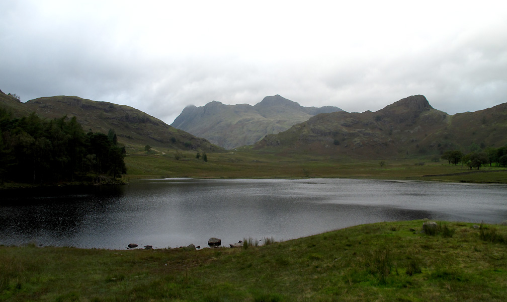
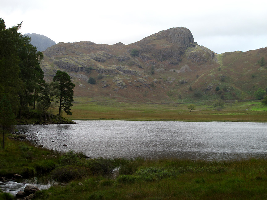
One last stop on our way home . . . as we glimpse a classic view of the Langdale Fells as seen from Blea Tarn.
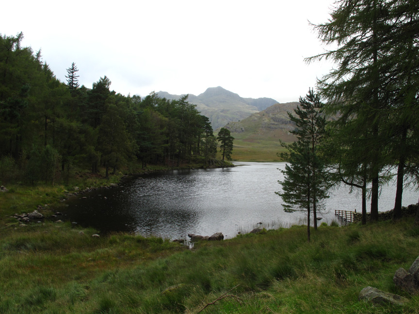
A short walk on a good path takes us closer to the forest.
The view of Side Pike over Blea Tarn . . . a patch of late afternoon sun would have been nice . . . but it was not to be.
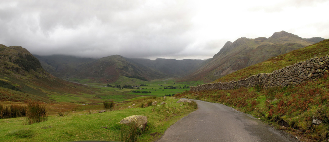
Our drive home took us on into Langdale itself . . . This is the view up Mickelden with the climb to Bowfell (The Band) being the central spur in the photo.
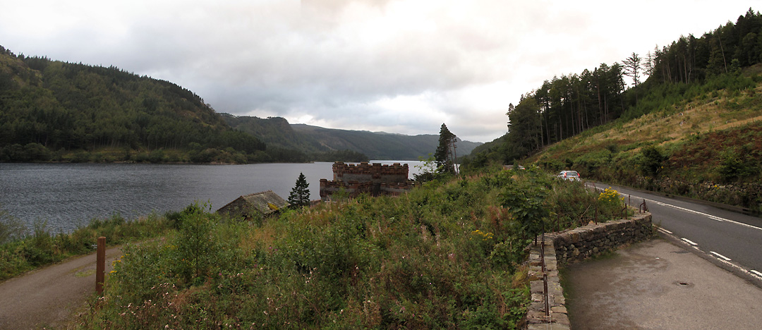
One last photo at Thirlmere as we stop near the castellated Straining Tower at the head of the 96 mile Manchester aqueduct. It releases water down to the Midlands . . . the tower being the start of the longest aqueduct in Britain and the longest tunnel in the world. - - - o o o - - - |
Technical note: Pictures taken with either Ann's Canon Sureshot SX220 or my Canon G10 digital camera. Resized in Photoshop, and built up on a Dreamweaver web builder. This site best viewed with . . . a tad more sunshine please ! Go to Top . . . © RmH . . . Email me here Previous walk - 8th September 2012 Dock Tarn & Great Crag A previous time up here - 3rd May 2006 Helmut's World Tour of the Lakes Next walk - 16th September 2012 Richard and Rosie's More to Explore
|