![]()

Remember: Press F11 for a full
screen view of this page.
|
|
|
Remember: Press F11 for a full
screen view of this page. |
|
" Latterbarrow but not Claiffe Heights " Date & start time: Monday 28th May 2012, 11.30 am start. Location of Start : The Village Hall, Far Sawrey, Windermere, Cumbria, Uk ( SD 379 955 ) Places visited : The Claiffe Heights area, Latterbarrow and Thirlmere on the way home. Walk details : 3 miles and 450ft, plus 1 mile and another 400ft of ascent. Highest point : Latterbarrow, 797 ft - 245 m. Walked with : Ann and the dogs, Harry and Bethan. Weather : Beautiful, almost oppressively hot sunshine due to the blue skies and high humidity.
|
" Latterbarrow but not Claiffe Heights " at EveryTrail [ Alter the settings to zoom or change the Map, use Everytrail to download the Gps route ] |
|
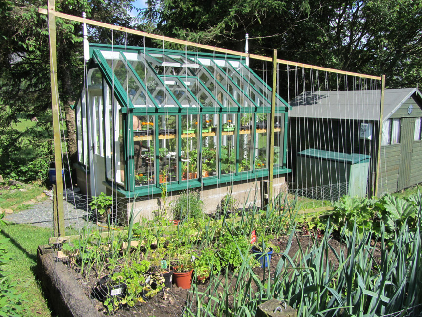
To start at the beginning, the Lakes are experiencing a really nice period of sunshine, much better than most of Britain it seems. In our garden, the colour has come back into the trees and plants and the vegetable patch is starting to look a little fuller. The greenhouse, which has harboured many of the seedlings over the cold spell is now starting to look busy too.
Just planted the beans out and constructed a set of strings for them to grow on. The rhubarb is thriving and the parsley pots have been brought out to take advantage of the sunshine.
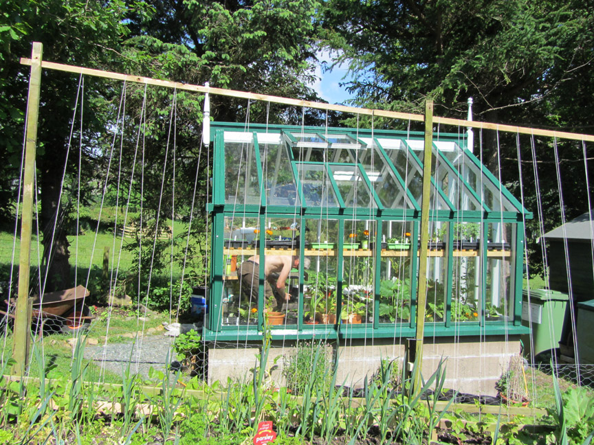
" Mr McGreggor is busy potting in the potting shed ".
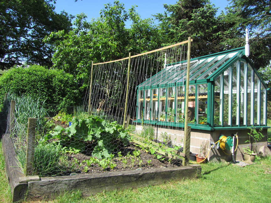
The spinach plants on this end are looking a bit thin in the dry weather.
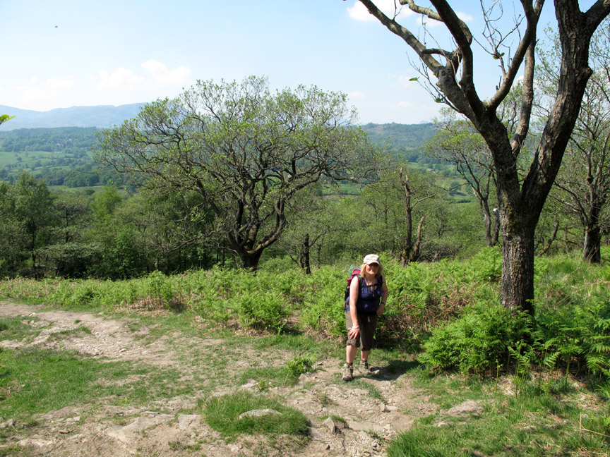
But always remember to stop and enjoy the view occasionally ! - - - o o o - - - A Monday off work . . . so Ann and I head for the Southern Lakes to walk couple of Wainwright's Outlying Fells.
This is Near Sawrey, Beatrix Potter's " Hill Top" home when she was writing her Peter Rabbit books.
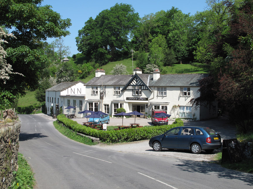
We drove just a mile further on, to Far Sawrey, to start our walk. The pub is called the Cuckoo Brow Inn . . . with names like that it just makes you want to write a story or two yourself.
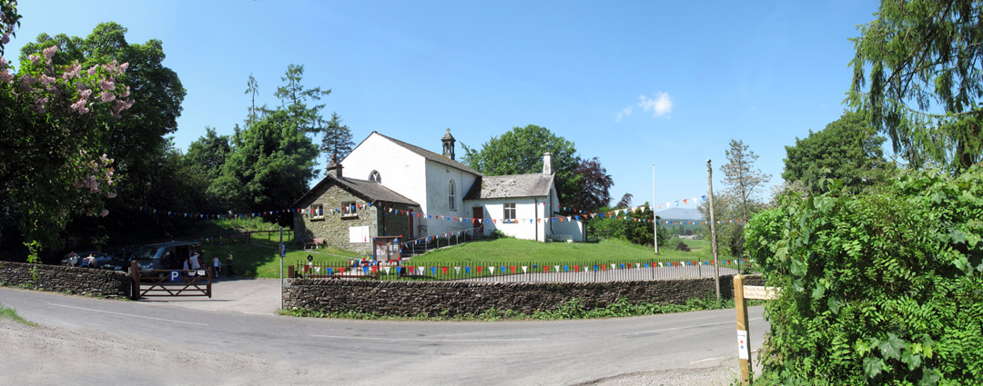
The village hall is decked with bunting to celebrate the forthcoming Queen's Jubilee. We take up their offer of off-road parking as there is no event on at the hall today.
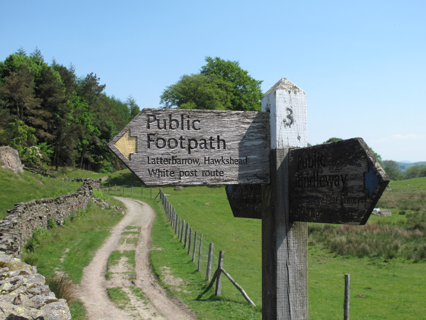
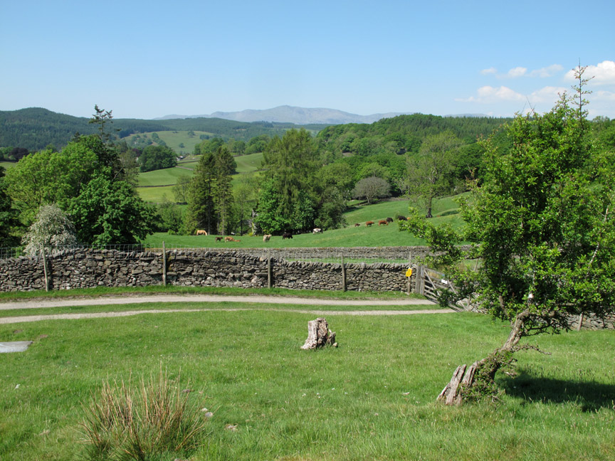
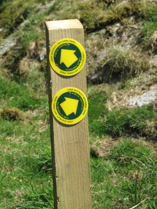
We are following the White Post route to Claiffe Heights on a walk suggested by Sean's Striding Edge web site, though we started walking it in the reverse direction.
Off towards the Scale Ivy Intake (intake ~ enclosed land)
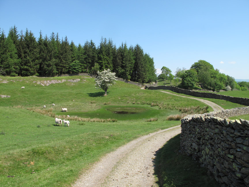
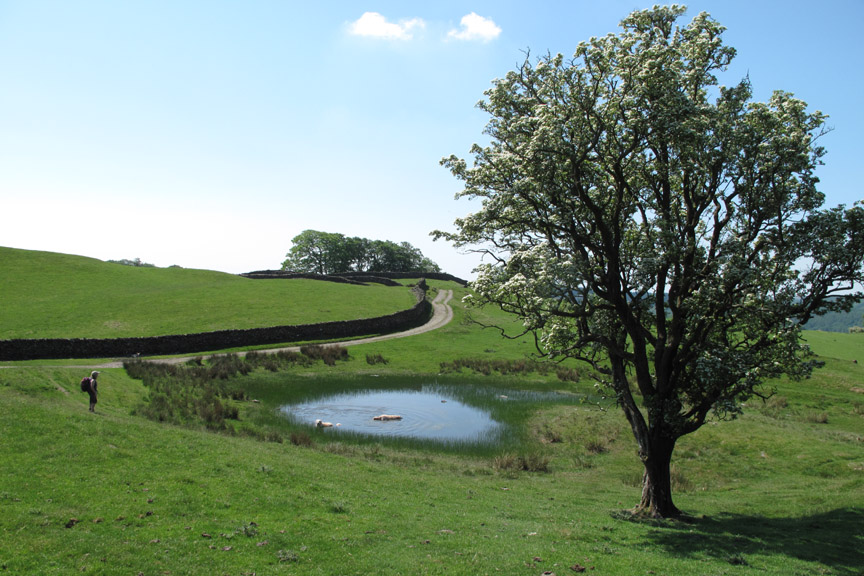
Past the shallow, unnamed tarn on the map.
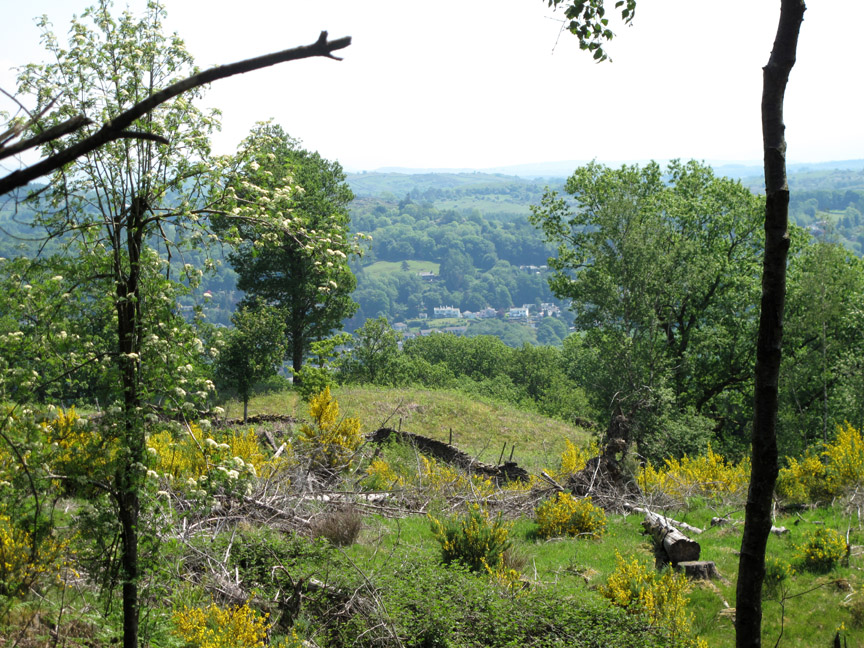
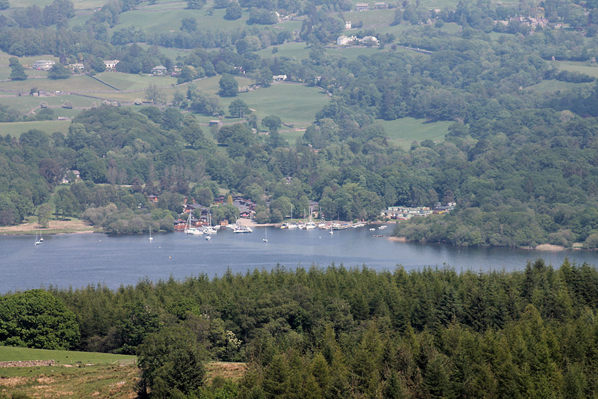
The yellow broom was shining in the midday sun as we look south over the woodland surrounding Windermere. Yes . . . there's a lake and a car ferry between us and those houses over there.
It was delightful walking the woods . . . so delightful we walked straight past our planned side-turn in the woods.
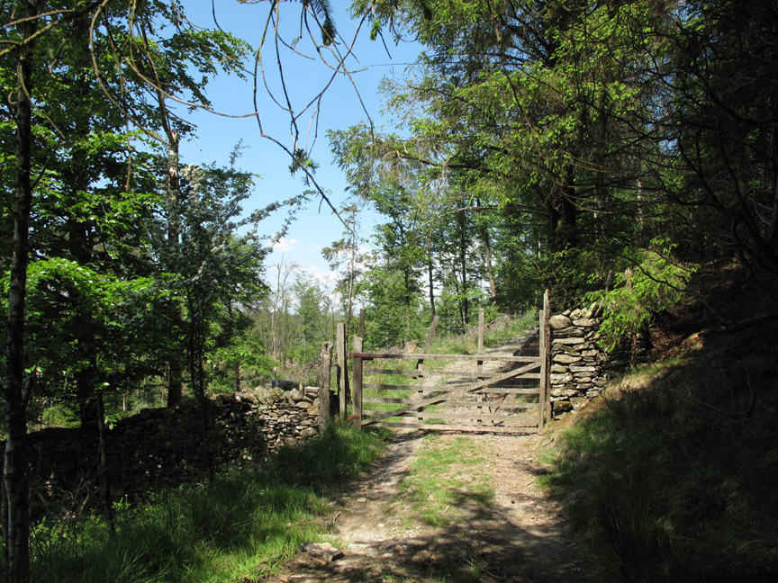
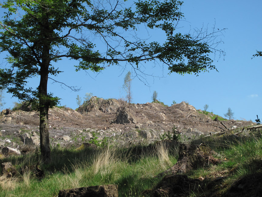
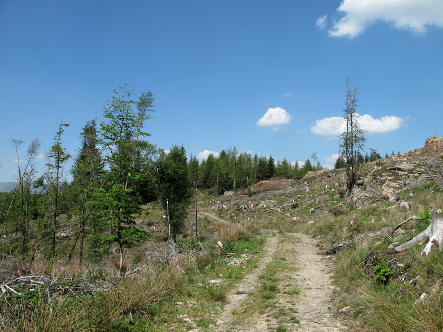
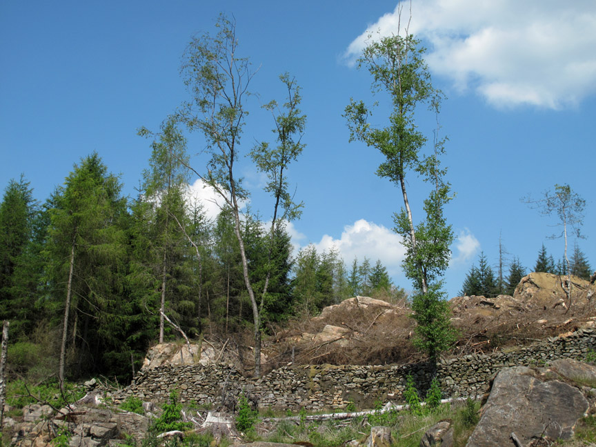
Out through the gate into an area of cleared forest.
The track contours around the slopes as they do in many forest areas like this.
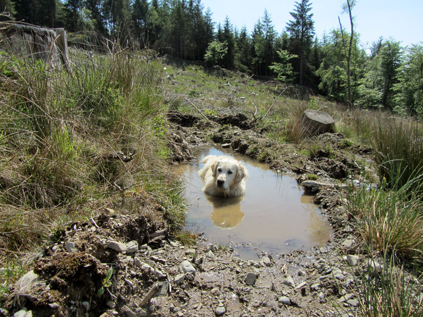
" It ain't half hot Mum! " On this hot day Harry uses one of the few available pools to cool off.
Okay . . . where are we . . . and where's Claife Heights summit ? I had two maps of differing scales and a third with the route pencilled in but we still managed to miss our way. When all the maps fail to reflect the walls, tracks and demolished forest then confusion is slightly easier to achieve ! - - - o o o - - - We wondered about up and down a few tracks and had great hopes when we met another couple . . . but they were lost too ! With the temperatures up today we were in no mood to go charging around for ever looking behind every tree for a summit or a lake so we cut our losses and headed back (south towards the sun ) heading back to the start of the walk.
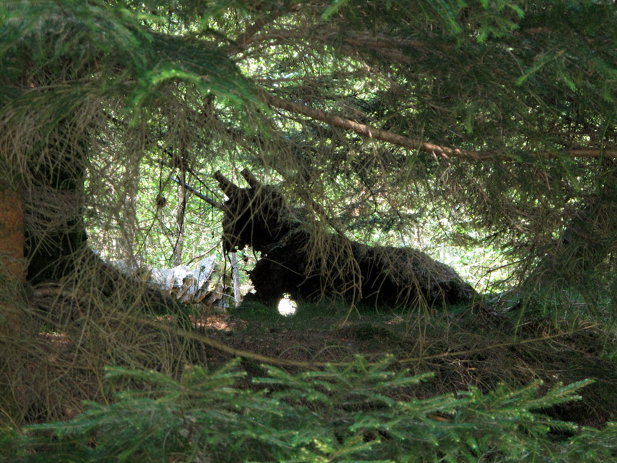
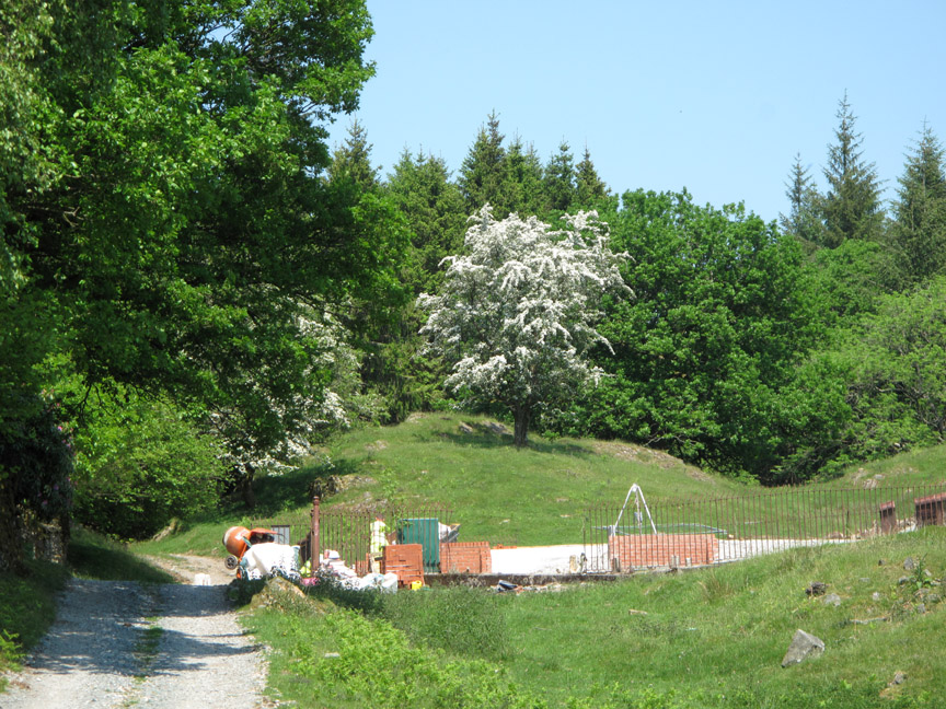
There were scary monsters in the woods . . . AND a funny strange rumbling noises . . .
. . . which turned out to be the drum on the cement mixer for the service reservoir building site.
Hey-ho . . . at least we know where we are . . . and it is still a nice day.
Time for a little light lunch in the shade of a flowering Hawthorn tree . . . much more relaxing than our walk. - - - o o o - - - Afterwards we returned to the car and headed for our second planned summit of the day.
We opt for the direct route . . . which was naturally a little steeper.
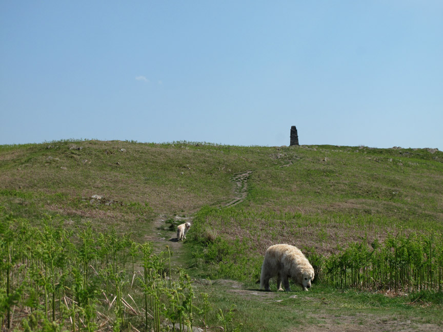
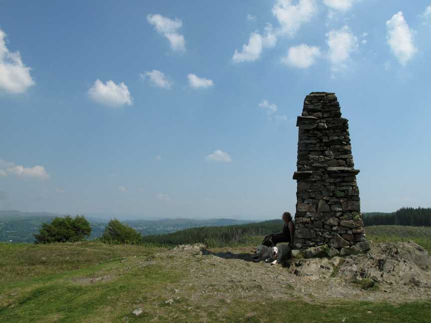
Clear of the woods . . . we see the summit cairn ahead.
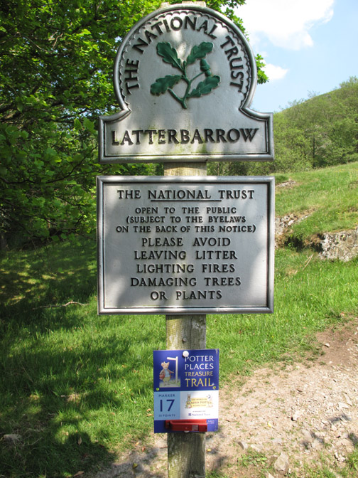
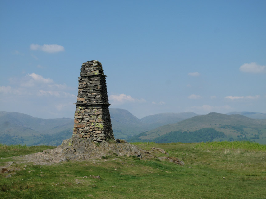
Latterbarrow is graced with a very large cairn and some fine views.
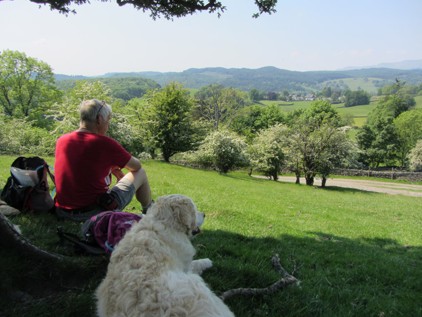
This had the advantage of casting a very large shadow for Ann and the dogs to relax in on this hot day.
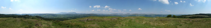
Meanwhile, I did a 360 degree walk around the cairn, camera in hand, to record the view. Click here or on the photo above for a Loweswatercam 360 degree annotated panorama.
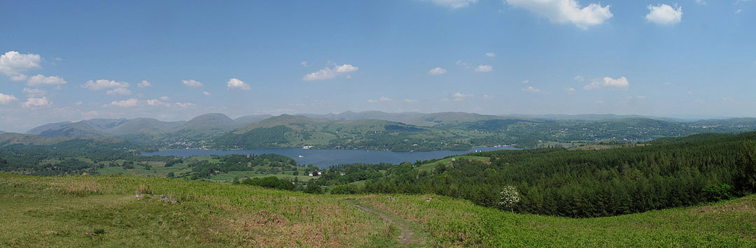
We moved slightly north, away from the summit, in order to get a better view of Windermere.
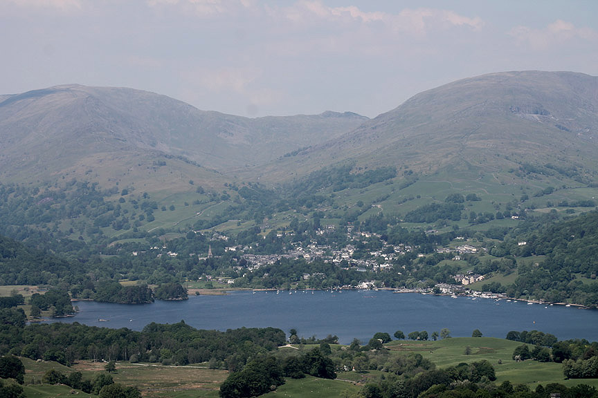
This is Waterhead and Ambleside at the head of the lake. Perhaps the cairn was built over-sized in order to be seen more easily when looking (the opposite way) from Ambleside ?
White Cross Bay . . . now full of boats with holiday chalets in the area behind. During the wartime, this bay and the ground behind it were home to the Sunderland flying boats that were built on the lake.
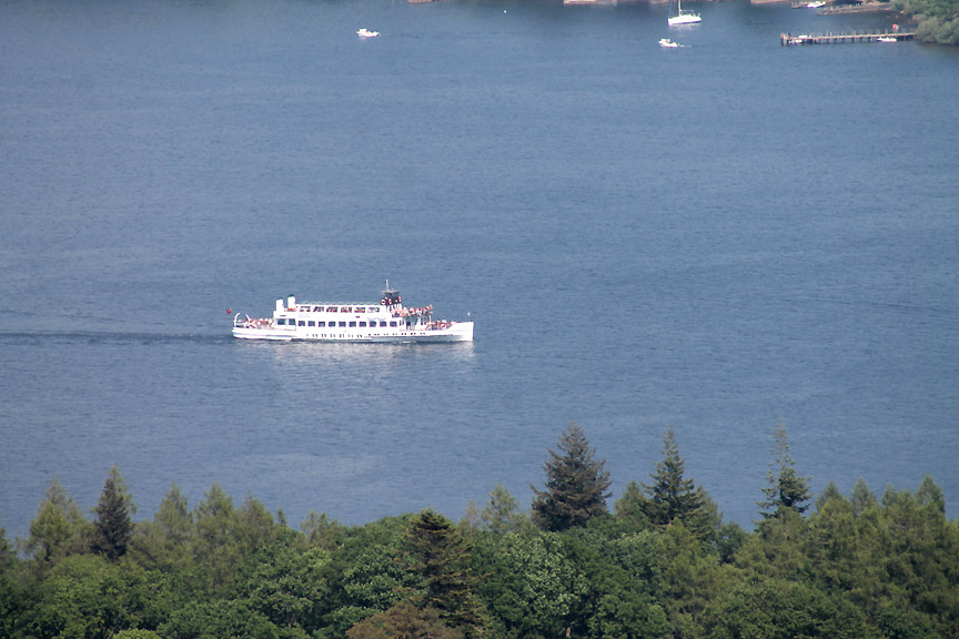
Either the Swan or the Teal Lake Steamer . . . the two boats look the same from a distance.
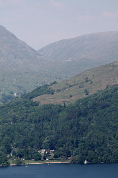
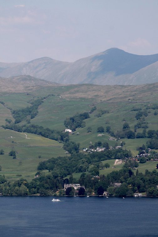
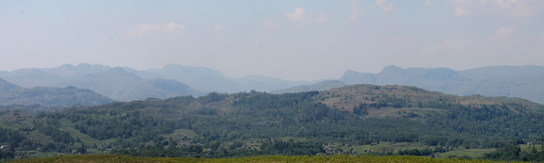
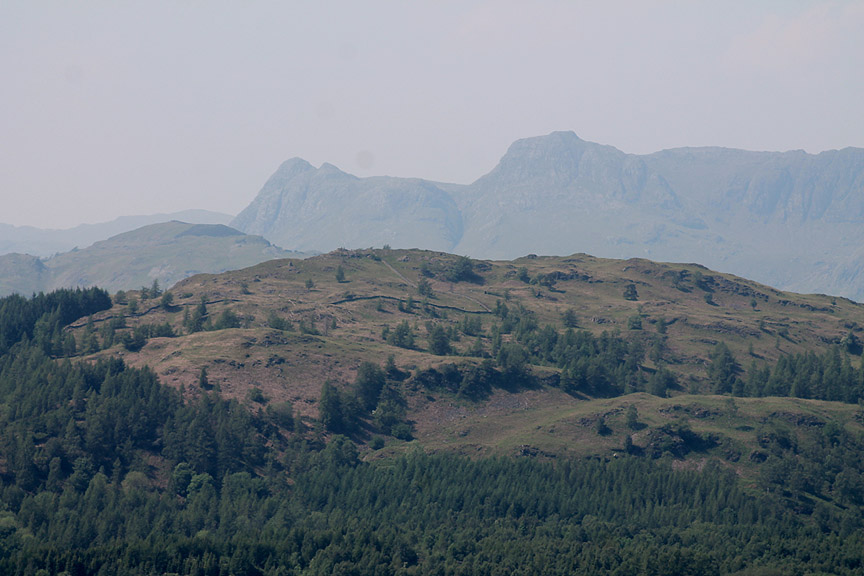
Time to be heading back as we were meeting friends for dinner. This was the view on the other side of Latterbarrow Fell . . . Windermere is behind us. Ahead are the hazy fells of Crinkle Crags, Pike o'Blisco, Bowfell and the iconic Langdale Pikes.
Zooming in on those icons of the Southern Lakes.
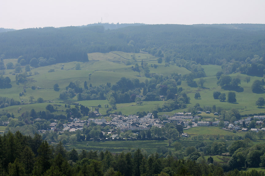
Below us Hawkshead . . . home of Hawkshead Clothing
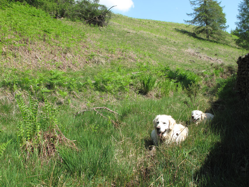
We took the longer track back down the fell and both dogs found the one and only muddy stream to cool off !
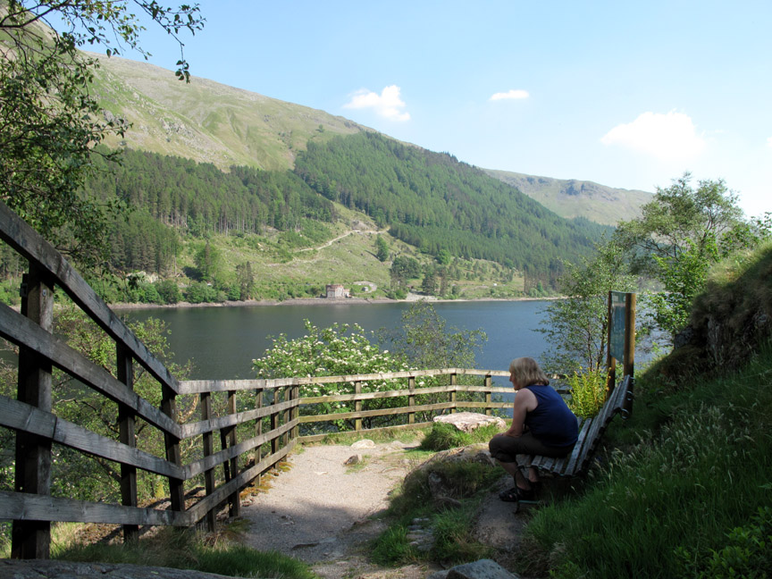
Ann is already seated and enjoying the view after I stayed a little longer by the lake. The dogs are clean and back in the car.
The square stone turns out to have a most surprising history . . . The cement block, complete with sandbag moldings shape, was a gun emplacement during the war. ( The military were afraid of reprisal raids after the flight of the British Dambusters over German reservoirs )
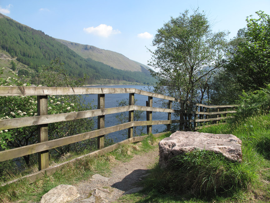
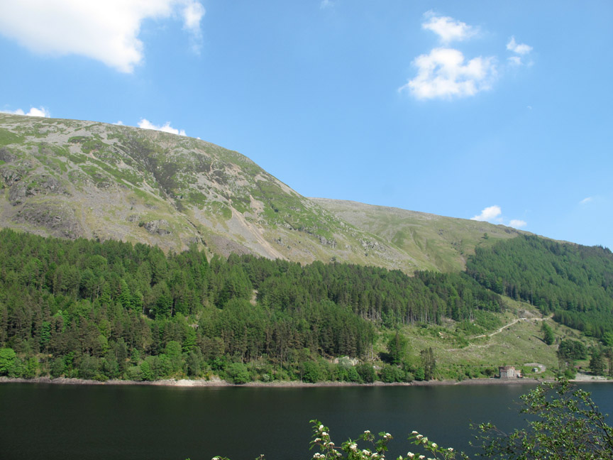
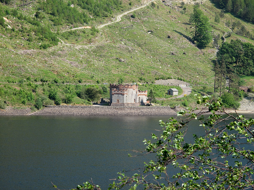
Across the way and adding the view to the viewpoint . . . the south western slopes of Browncove Crags and the turret of the water collection point for the reservoir.
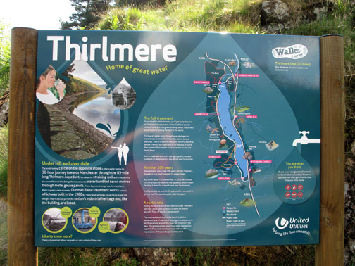
Zooming in . . . the tower marks the start of the 96 mile tunnel to Manchester to take fresh drinking water to the industrial centre of the north Midlands. - - - o o o - - - |
Technical note: Pictures taken with either Ann's Canon Sureshot SX220, my Canon G10 or 1100D Digital SLR. Resized in Photoshop, and built up on a Dreamweaver web builder. This site best viewed with . . . a cool cup of fine Thirlmere champaign on a hot day - once it has been filtered ! Go to Top . . . © RmH . . . Email me here Previous walk - 26th May 2012 Ennerdale's Anglers Crag A previous time up here - 11th June 2011 Coniston Challenge ~ Carron Crag Next walk - 30th May 2012 Loweswater Farmers Trip 2012
|