![]()

Remember: Press F11 for a full
screen view of this page.
|
|
|
Remember: Press F11 for a full
screen view of this page. |
|
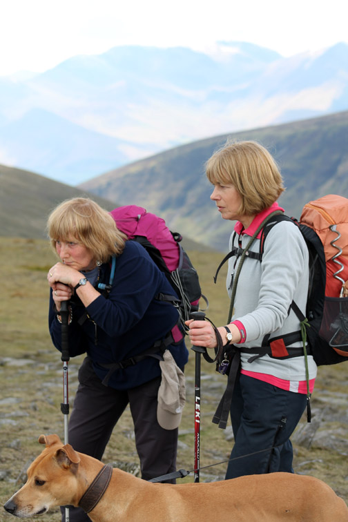
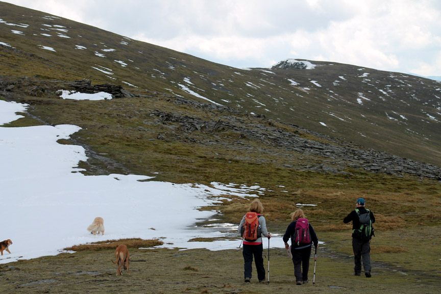
" Blencathra via Roughten Gill " Date & start time: Thursday (of Easter Week) 12th April 2012, 10.30 am start. Location of Start : Road-end at Blencathra Centre, Threlkeld, Cumbria, Uk ( NY 302 256 ) Places visited : Glenderaterra Valley, Roughten Gill Valley, Foule Crag, Atkinson Pike, Blencathra summit, Blease Fell return. Walk details : 6.5 mls, 2350 ft of ascent, 5 hrs 10 mins. Highest point : Blencathra 2,847ft 868m Walked with : Maggie John, Jo, Ann and the dogs, Amber, Polly, Harry and Bethan. Weather : Sunshine and fluffy white clouds, some of which turned grey and had lumps in.
|
" Blencathra via Roughten Gill " at EveryTrail [ Alter the settings to zoom or change the Map, use Everytrail to download the Gps route ] |
|
A less frequented Wainwright route has been chosen for today's ascent of this popular Northern fell . . .
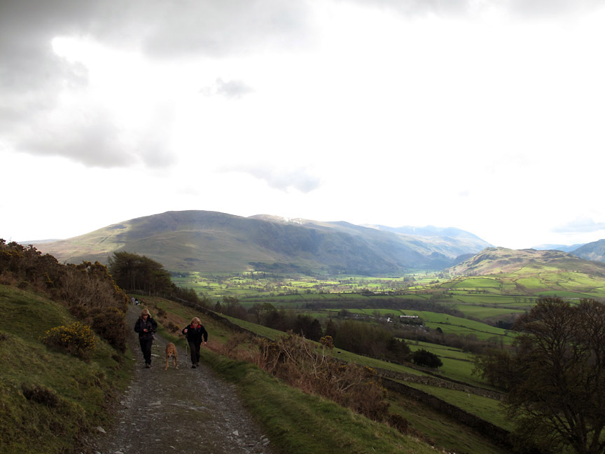
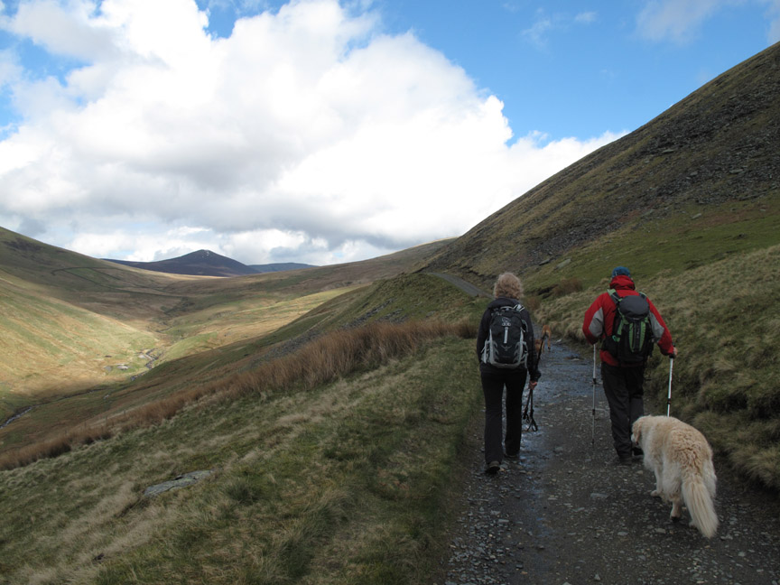
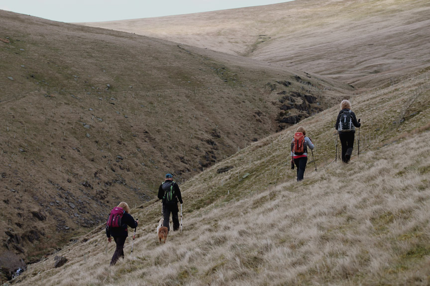
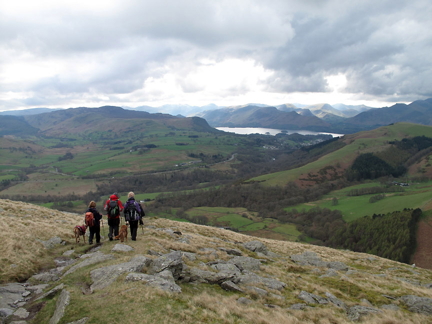
So . . . the walk started with us taking the track to Skiddaw House, up the Glenderaterra Valley. Behind is St John's in the Vale which John (ours not the Saint's) reckons is always in sunshine.
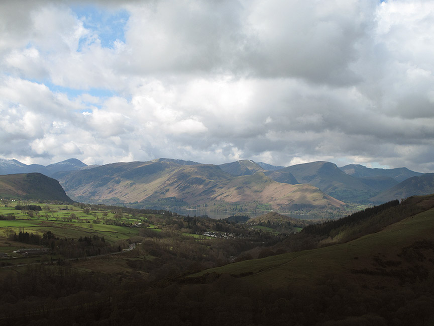
Derwent Water and Keswick certainly were today.
A brief shadow as we pass the old water tanks that supplied drinking water to the Blencathra Centre in the days that it was an tuberculosis isolation hospital.
Maggie and John lead the way up the Glenderaterra track. The volcanic looking fell in the centre is Great Calva.
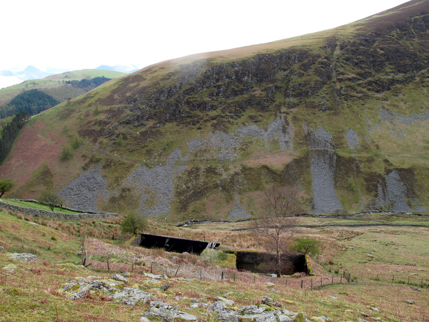
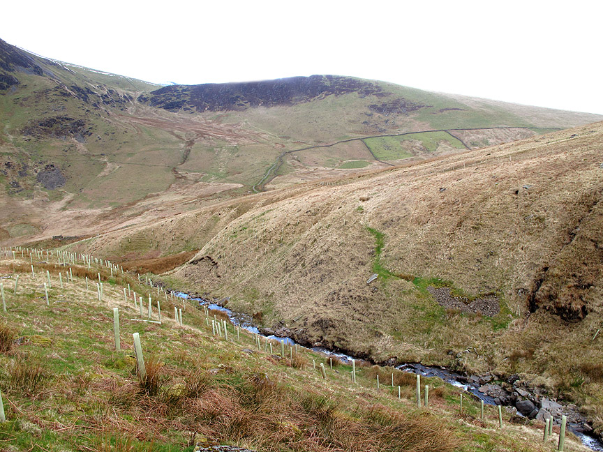
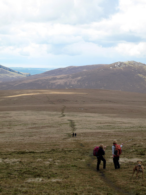
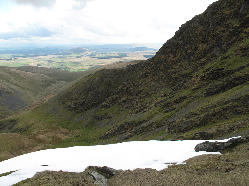
At Roughten Gill we turned right and followed up the beck, albeit outside the new forest fence. This area was planted for deciduous trees a few years back but growth appears to be very slow.
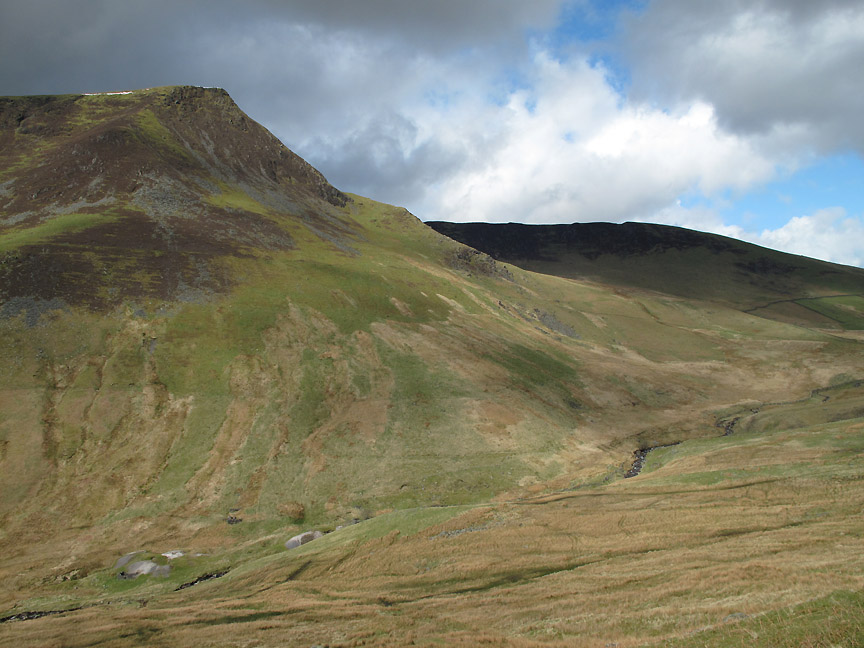
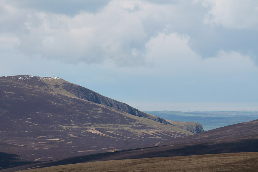
Lonscale Fell towers over this gradual walk up the valley, a touch of snow gracing the summit but virtually hidden from our view. Behind it is the darker outline of Burnt Horse Ridge, the reason behind the name lost in the antiquities of time.
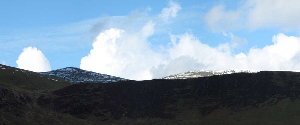
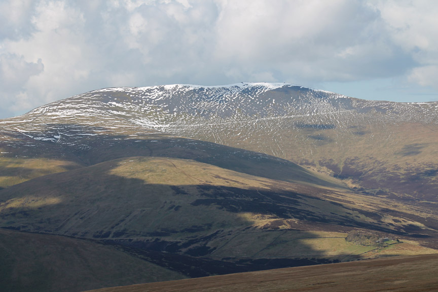
As we climb the side valley, the snow dapples summits of Skiddaw and Skiddaw Little Man come into view. I spent a few moments trying to work out why the summit of the latter looked a little out of focus but it was just the effect of a line of snow gracing the summit of the fell.
The Roughten Gill fence kept us well above the bottom of the incised valley.
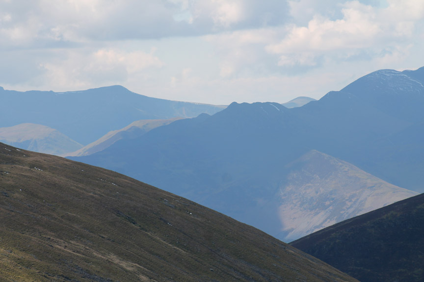
What is life if we don't have time to look around, and change a lens or two. The distinctive outline of Causey Pike could be seen, silhouetted against the back drop of Buttermere's Red Pike and Starling Dodd.
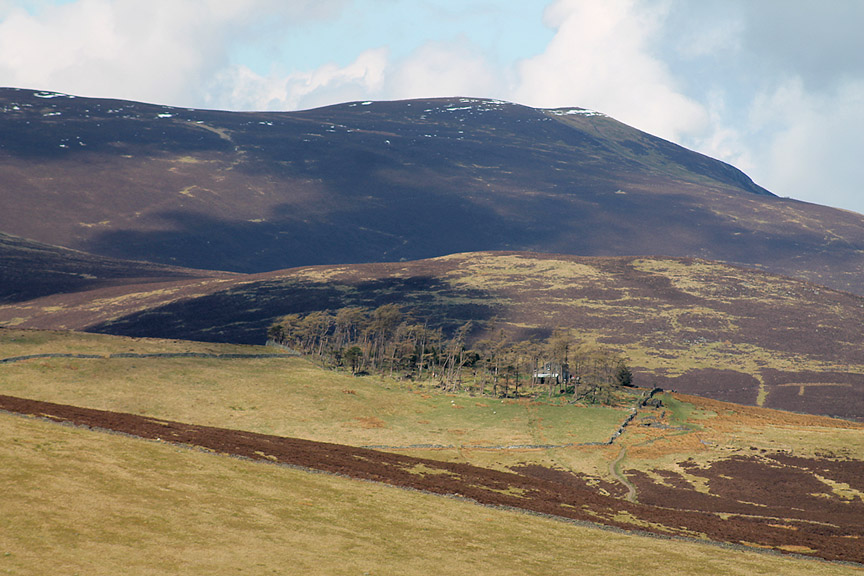
Looking across to the now dappled summit of Skiddaw, the lower fence line really standing out for once. At the bottom right is the Skiddaw House Hostel.
Zooming in on this remote habitation, surrounded by its protective woodland.
Before the big lens goes away . . . Bakestall and Dead Crags over in the Dash Falls direction (west).
Ann rounds the top corner of the fence at the head of the Roughten Gill plantation.
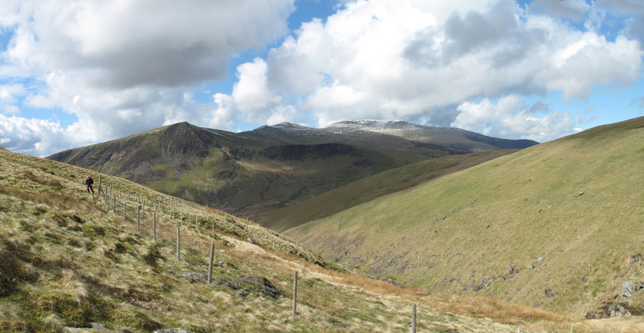
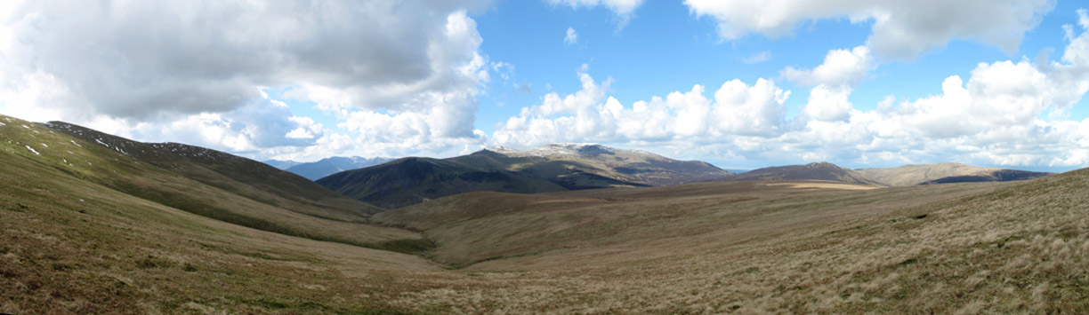
A wide view from Blease Fell on the left round to Great Calva and Knott on the right. What a nice summer-cloud sky above the fells !
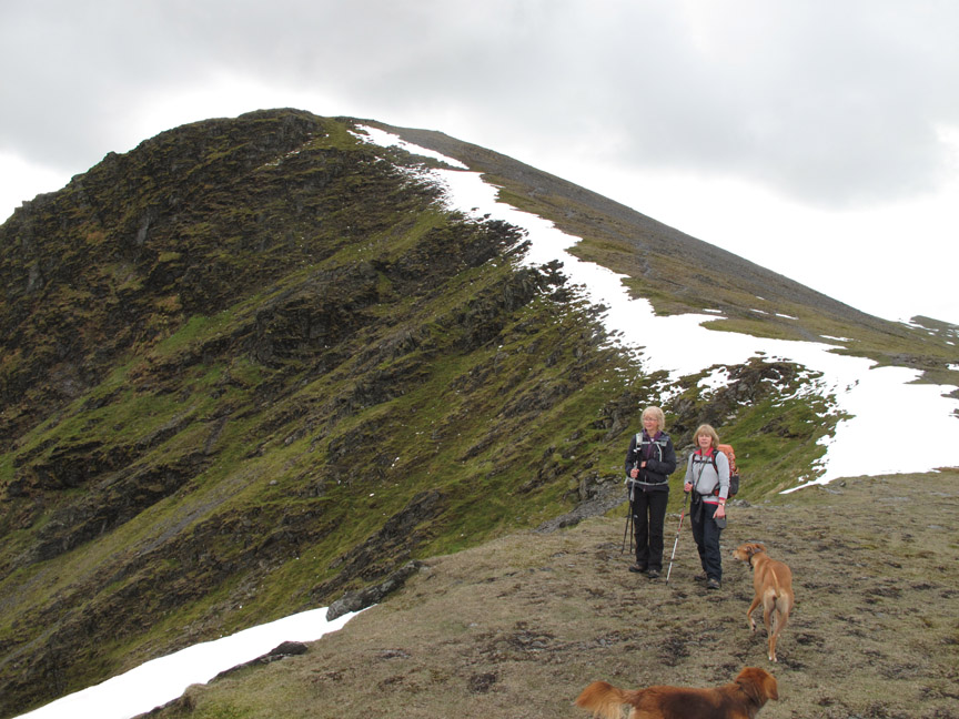
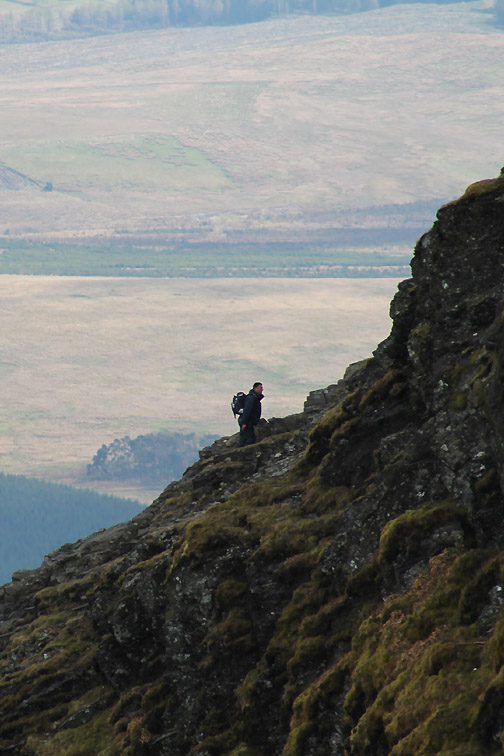
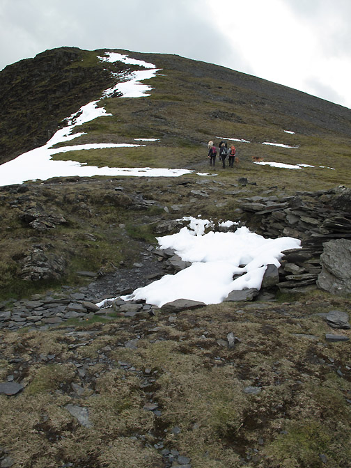
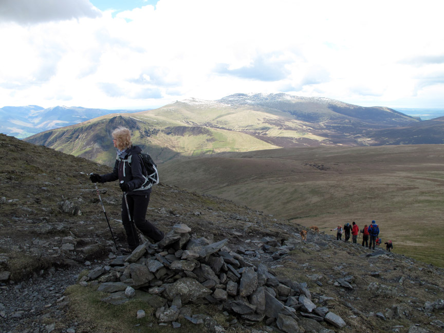
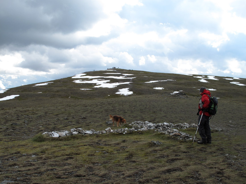
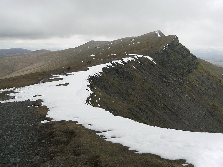
We reach the ridge just at the base of the climb up Foule Crags. Maggie and Jo pose for a photo and provide a foreground for the composition.
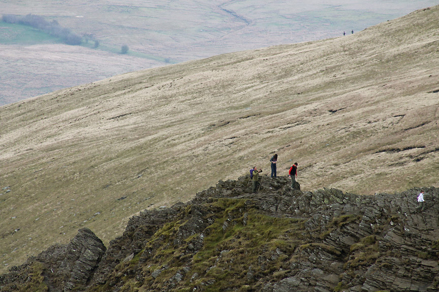
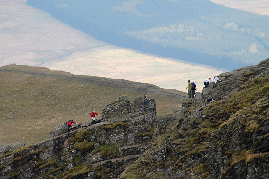
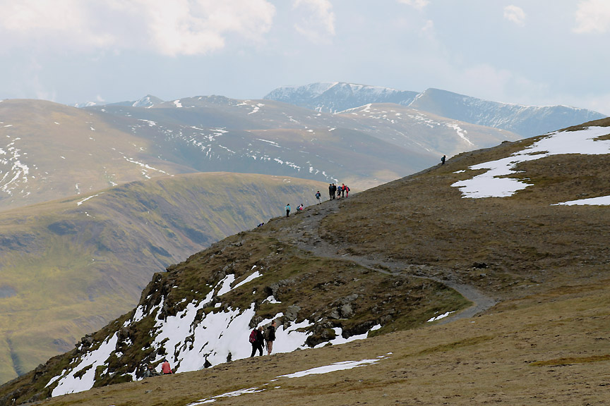
From here we can look south where our attention is drawn to the large numbers of folk ascending via Sharp Edge.
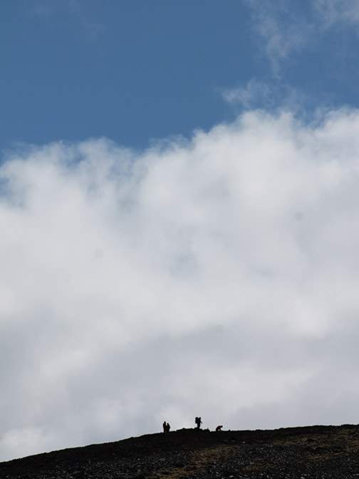
The first crags of the arête where someone has stopped for a photo.
Having crossed the first slab, these two are keeping a low track away from the exposed ridge rocks.
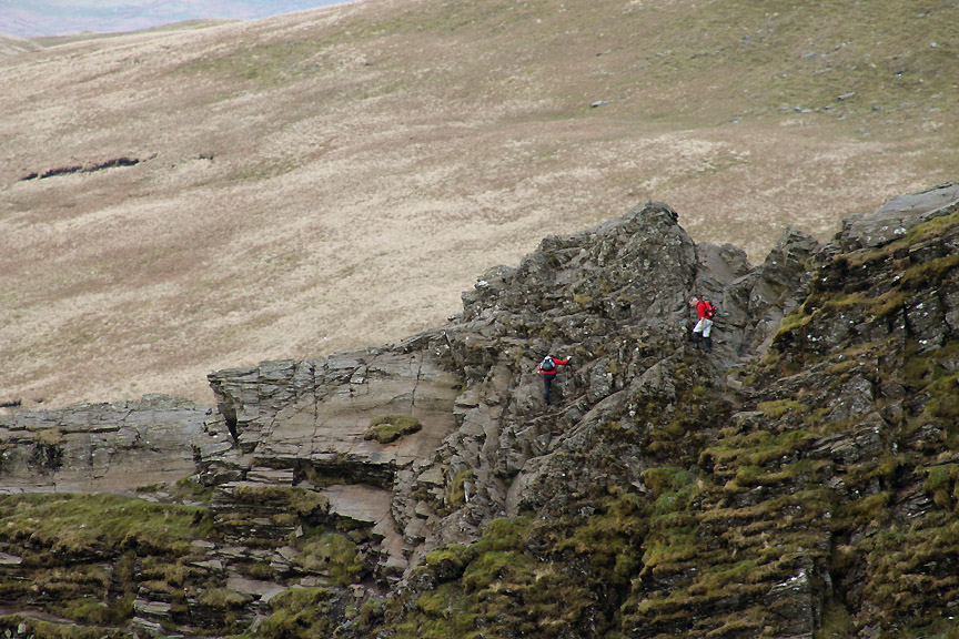
We watch as they reach the second (and tricky) slab. The two guys in blue and in striped white on the right hand side have taken an unusual route. They climbed "Usual Gully" from below and have by-passed the slabs completely.
The lady in blue, safely over, along with the photographer and the collie dog.
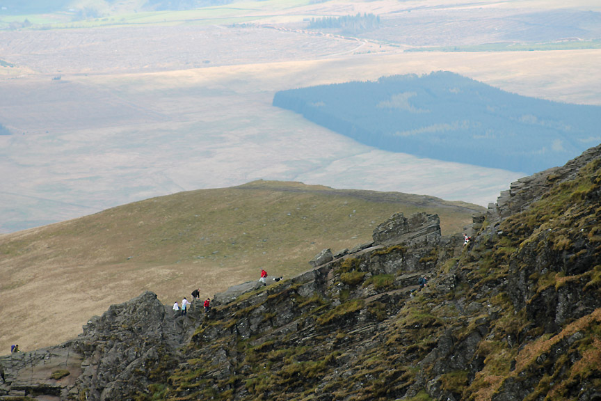
We could stay all afternoon and watch the next queue of people climbing the Edge, but we must be off. Lunch awaits us at the top of this last climb.
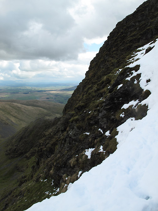
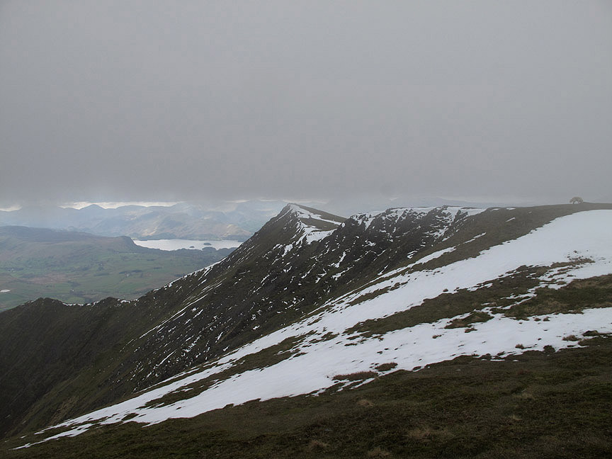
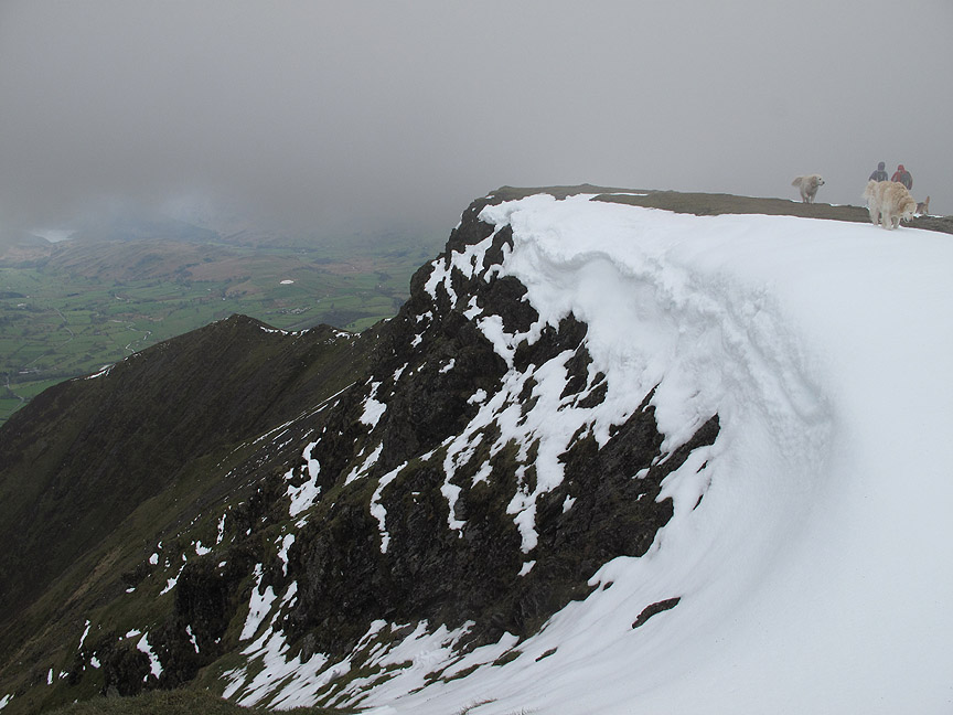
This slight cornice highlights the rim of the crags . . .
. . . and form the white lower corner of this view across to the Pennines.
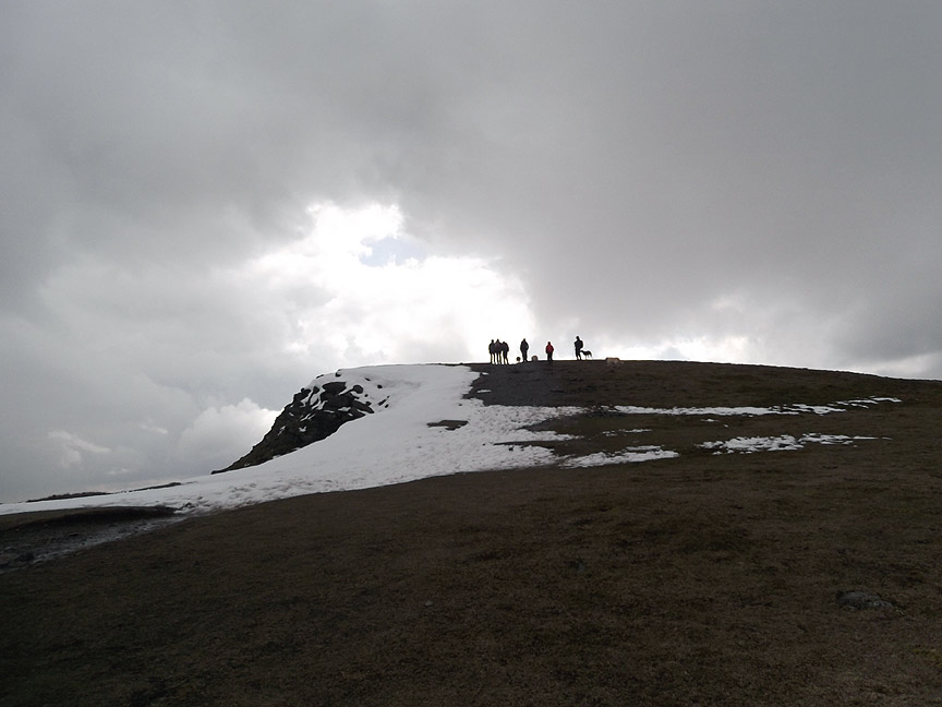
Maggie tops out at Foule Crag . . . now more correctly known as Atkinson Pike summit.
The advance party selects a spot just below the ridge to avoid the worst of the cool northerly breeze.
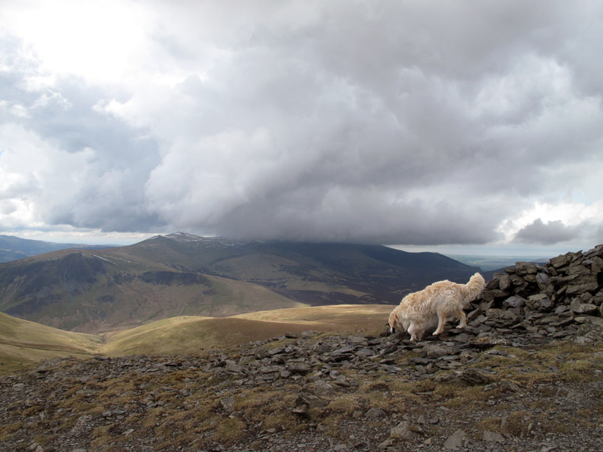
Harry leaving the summit cairn. Behind him, that breeze is bringing poorer weather and Skiddaw is already in cloud.
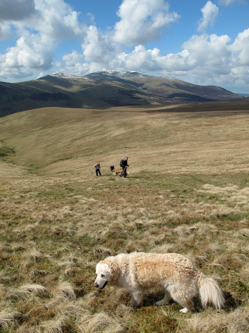
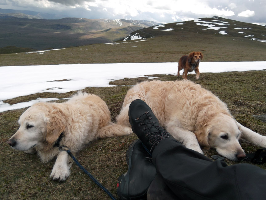
The dogs wait for their lunch . . . just two feet away.
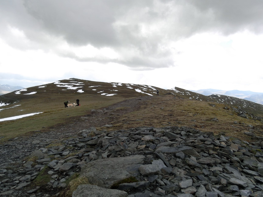
Suitable refreshed we walk on, across the flat top of the saddle, passing the quartz stone cross laid out on the grass.
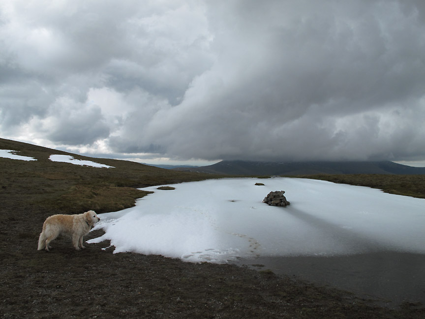
The cold weather of late has frozen the summit tarn and the recent snows still sits on top.
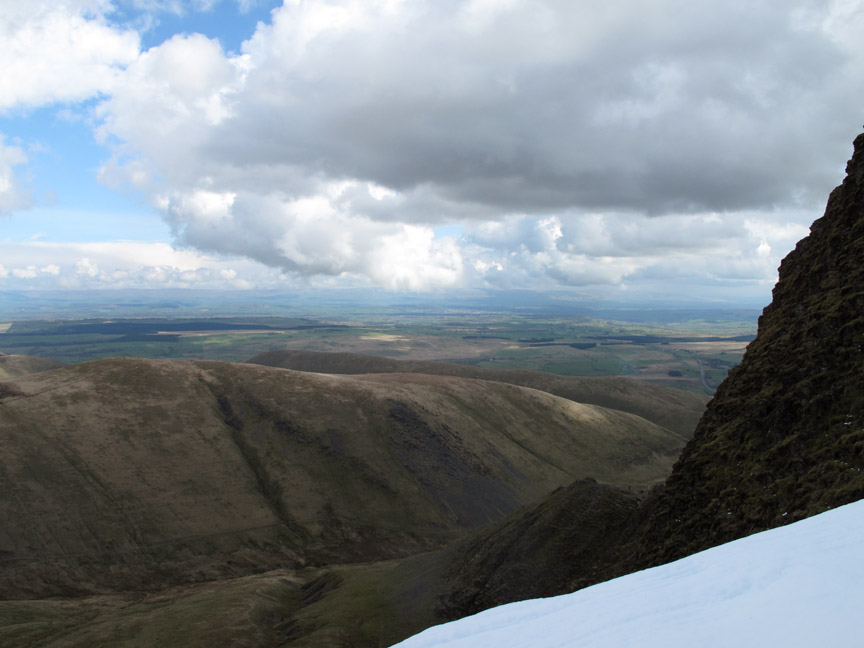
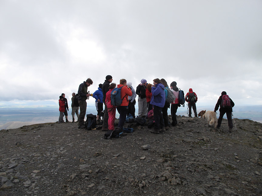
Dark skies behind but sunshine ahead as I look across to Helvellyn. Looking around we suddenly realise how busy it is up here in Easter Week.
A school or youth group gather at the summit and as we pass, the instructors are suggesting they all put on an extra layer because of the approaching weather.
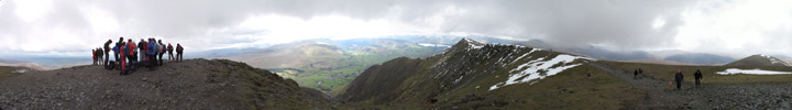
I stand off the summit for today's all-round shot. Click here or on the photo above for a top value Loweswatercam 360 degree annotated panorama.
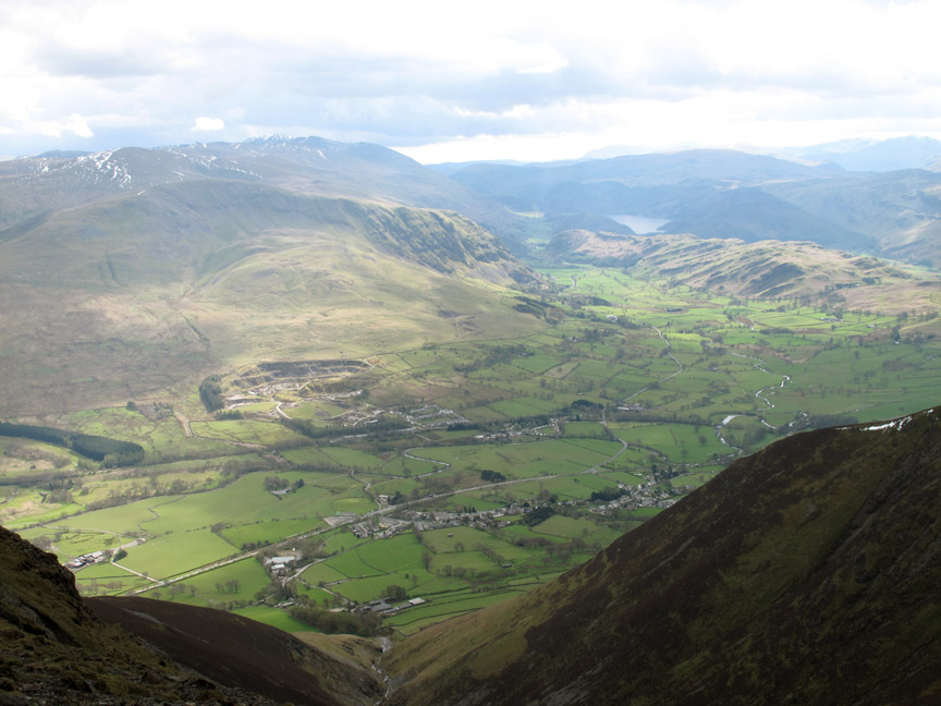
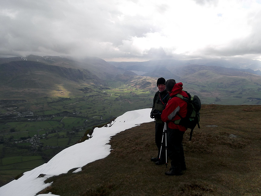
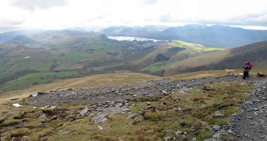
Threlkeld, Clough Head and sunny St John's in the Vale below.
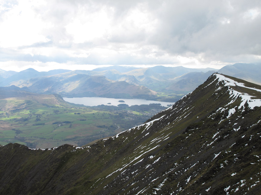
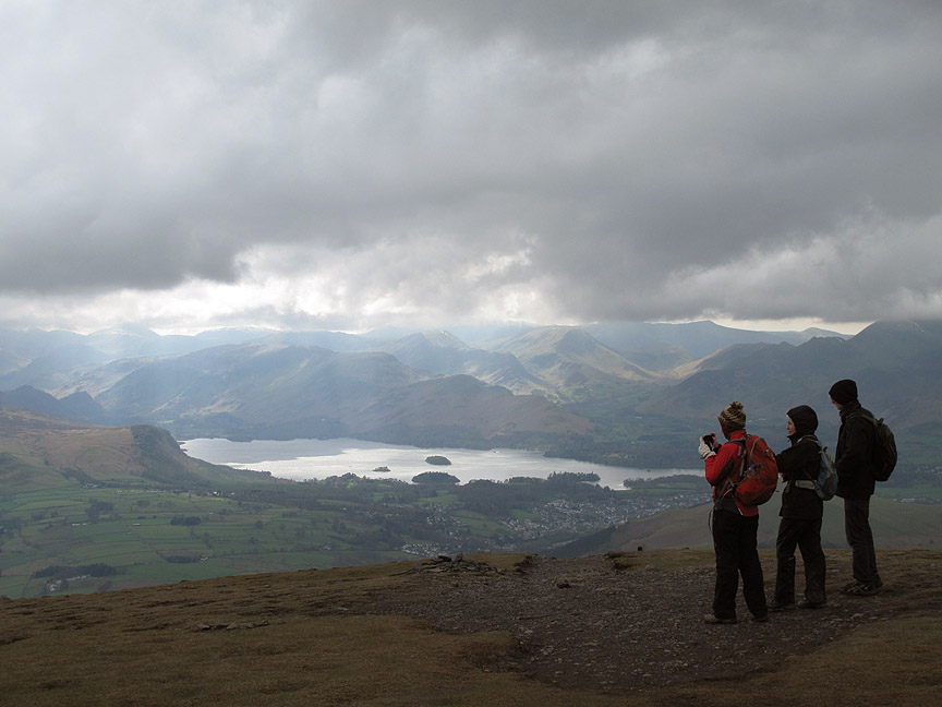
Catbells takes centre stage alongside Derwent Water . . . as we look along the Blencathra Ridge to Gategill Fell top.
Here it comes, as forecasted (to be fair). Hopefully like yesterday it will be fine hail and not rain.
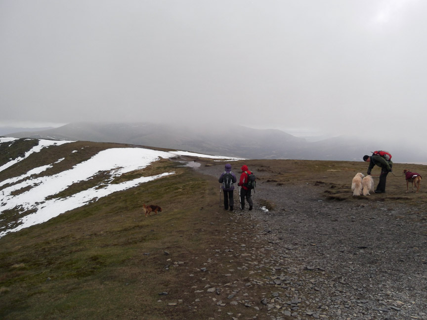
Visibility starts to fail as the cloud covers the summit.
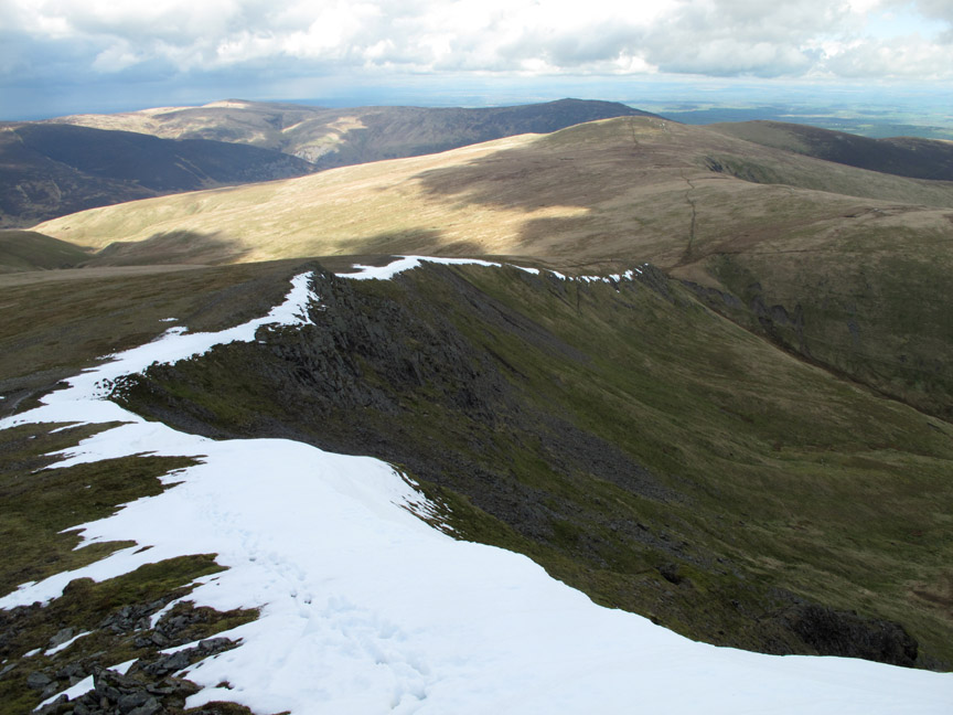
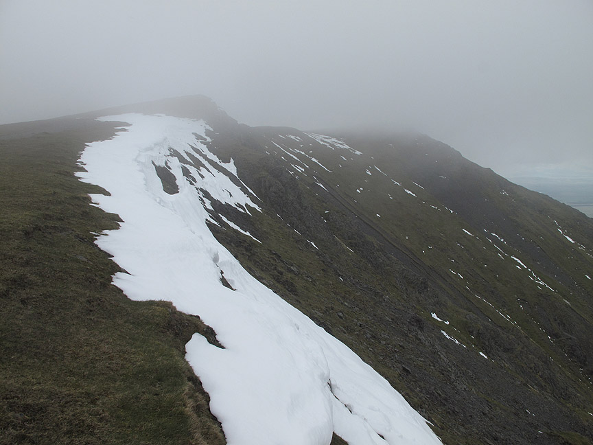
Snow cornices as we set out west along the ridge.
Looking back, the summit is now out of sight in the cloud.
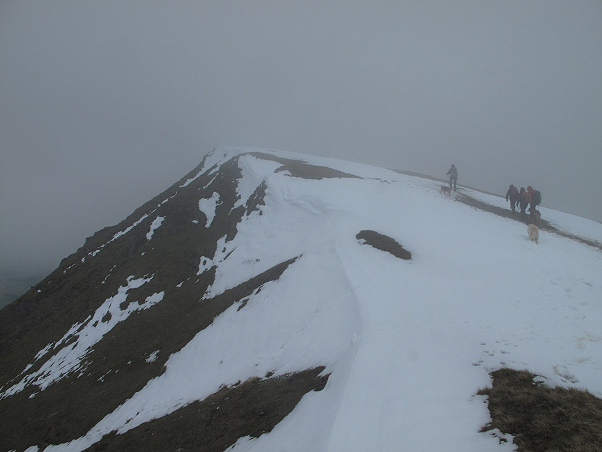
A slight climb to the next part of the ridge.
As we reach the end of the ridge at Knowe Crags, the sky clears and the ridge is clear once again.
Silhouettes against the western sky.
I seem to remember that hat, gloves and buff were much appreciated in the cold breeze.
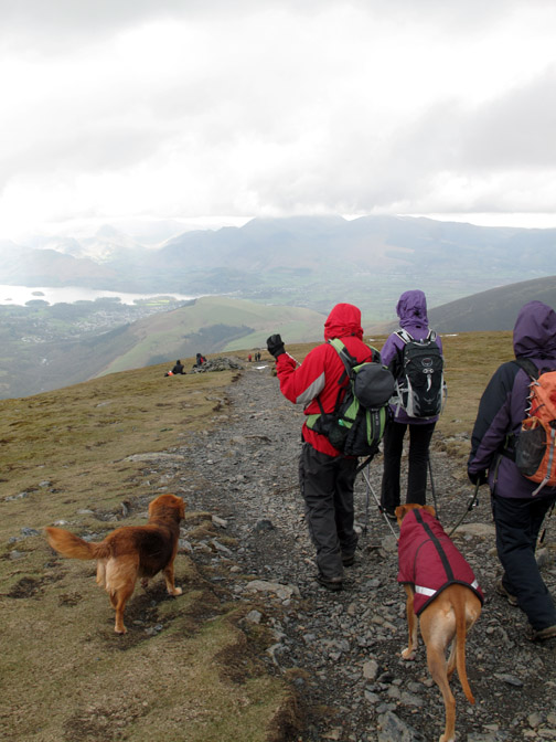
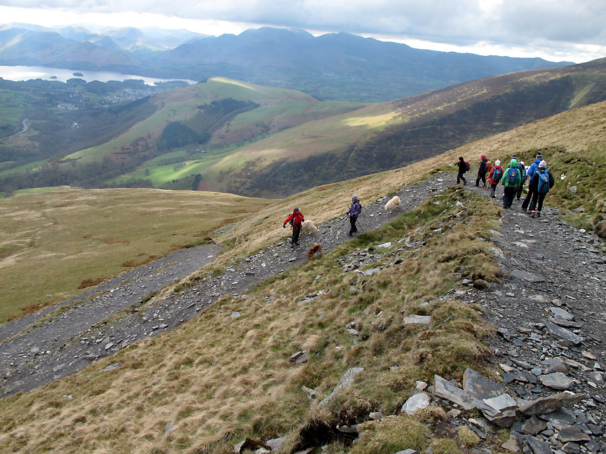
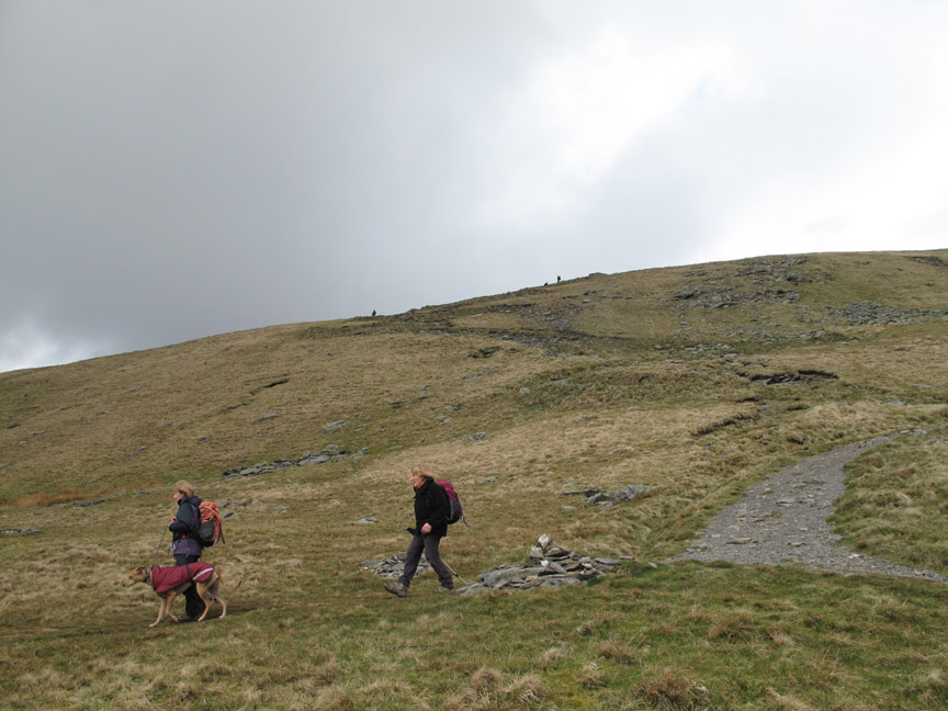
All roads lead to the start of the descent path from Blease Fell. John reckons this is the most popular ascent / descent path on the mountain.
As we reach the steep ground the path suddenly takes on a characteristic urban sprawl as it starts to zig-zag down the fell.
The park planners decided a few years ago to confine the path to a series of tight bends, properly built up and drained to prevent a reoccurrence of the damaging erosion of old. From above they still look intrusive to me but it serves the purpose, considering the number of folk that use the route.
It is such a shame though that they couldn't have found a way to manually 'pitch' the path with stone rather than drive a digger. What I think has been lost is that natural line, that sense of mountain wildness if not actual wilderness.
From below the embankments are growing over well so the overall effect is a gradual improvement to the fellside. Despite all the discussions we had on the way down, I still think the path could have taken a more sympathetic line.
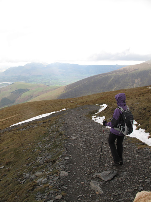
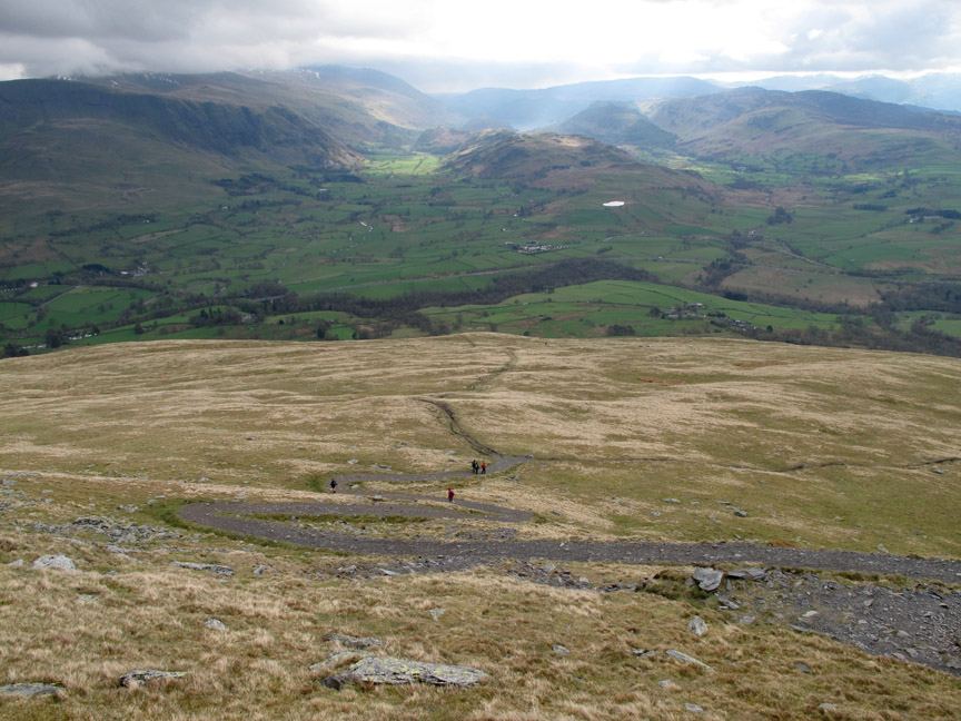
Once below the 600m contour the slope lessens and we take the footpath back towards the Glenderaterra Valley.
Familiar views ahead once again.
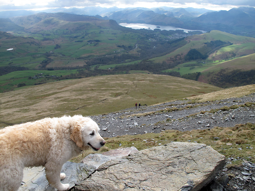
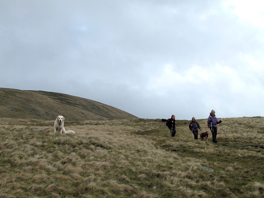
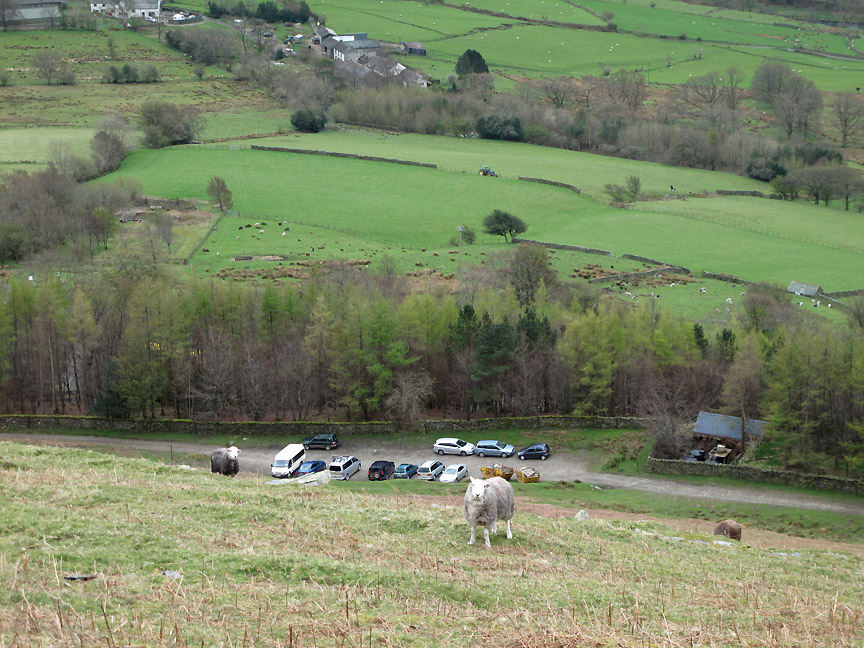
Just one obstacle to pass before we reach the end of the walk . . . and she stands four square in the way of a direct descent.
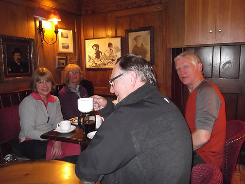
[ It was a bit early for anything stronger ]
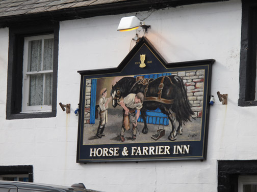
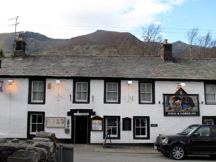
A last look back at the wide summit ridge of Blencathra above the roof line of the pub. An interesting route and our first complete traverse of the entire top ridge of the fell that we have so often climbed in shorter sections. - - - o o o - - - |
Technical note: Pictures taken with either Ann's Fuji Finepix Compact or my Canon G10/1100D camera. Resized in Photoshop, and built up on a Dreamweaver web builder. This site best viewed with . . . a quiet approach to a busy summit. Go to Top . . . © RmH . . . Email me here Previous walk - 11th April 2012 Ullock, Longside and Carlside A previous time up here - 28th April 2011 Blencathra via Three Edges [ including, on that occasion, our ascent of Sharp Edge ] Next walk - 14th April 2012 Scafell and Slightside
|