![]()

Remember: Press F11 for a full
screen view of this page.
|
|
|
Remember: Press F11 for a full
screen view of this page. |
|
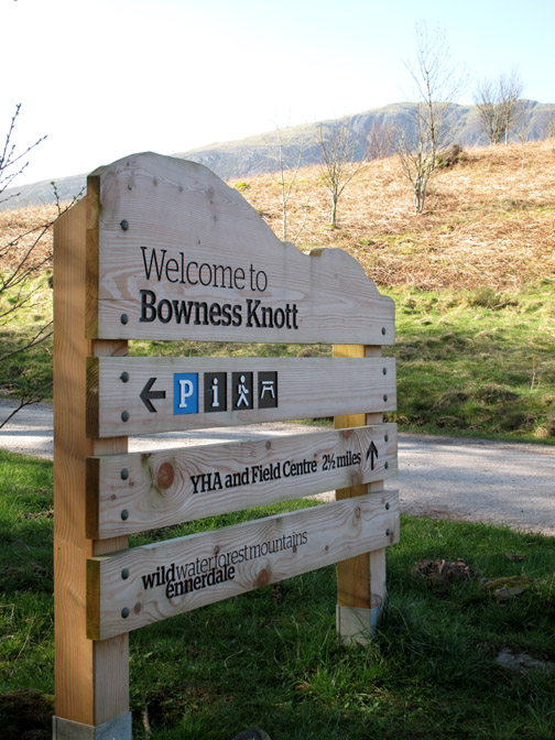
" Great Borne and Starling Dodd " Date & start time: Wednesday 28th March 2012, 9.30 am start. Location of Start : The Bowness Knott car park, Ennerdale, Cumbria, Uk ( NY 109 153 ) Places visited : Rake Beck, Herdus, Great Borne, Starling Dodd, Smithy Beck, and back. Walk details : 6.5 mls, 2275 ft of ascent, 5 hrs 40 mins. Highest point : Starling Dodd, 2,076 ft - 633 m Walked with : Sherran and Bill, Alan, Ian, Ann and the dogs, Harry and Bethan. Weather : Sunshine and blue skies but hazy.
|
" Great Borne and Starling Dodd " at EveryTrail [ Alter the settings to zoom or change the Map, use Everytrail to download the Gps route ] |
|
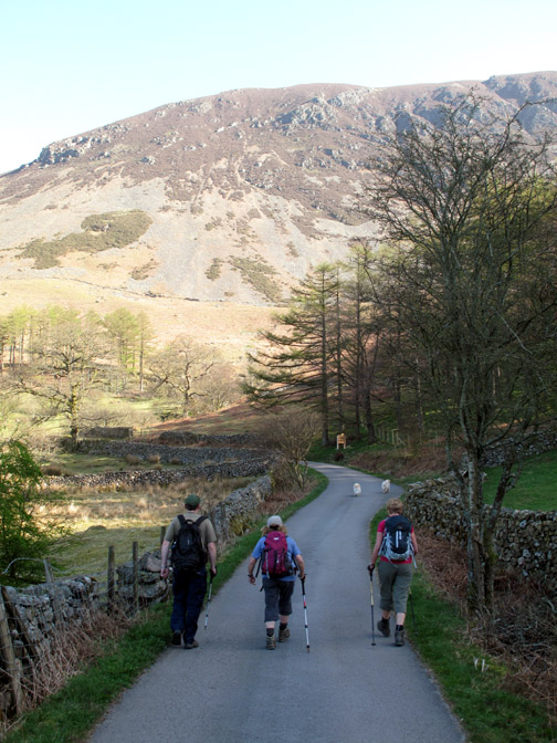
A mini-OFC meet as we are joined by Ian and Alan, Sherran and Bill for a walk in the western Lakes. Sherran and Bill had never walked Great Borne and Alan was in Ennerdale this week but on the other side of the lake, so Bowness Knott car park is an obvious starting place for today. We plan to meet Ian there so we drive round from Loweswater, passing our local lake on the way.
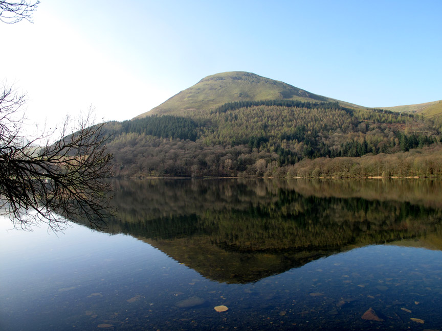
This was Loweswater . . . calm in the sunshine with beautiful reflections of Carling Knott opposite.
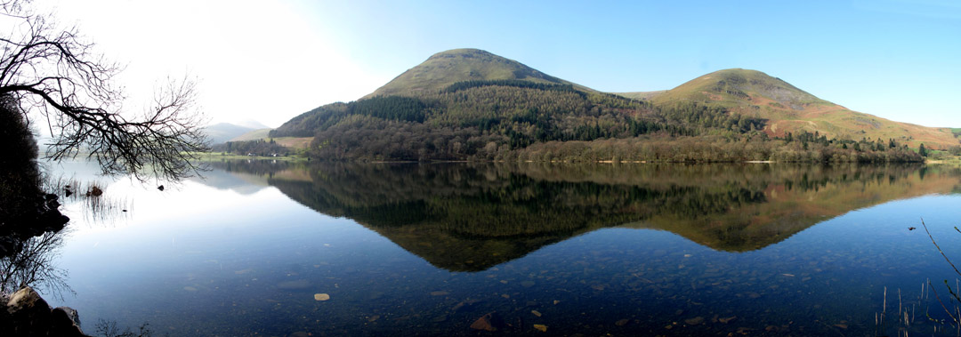
Standing back the view extends to give us a sunny panorama of the lake . . . now including Burnbank Fell on the right.
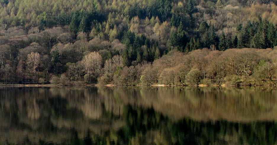
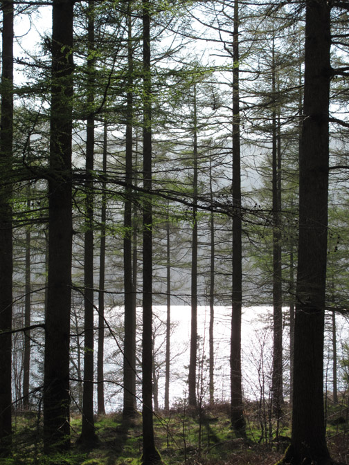
By using my 75 - 300 zoom the detail of Holme Woods waterline is brought into sharp focus.
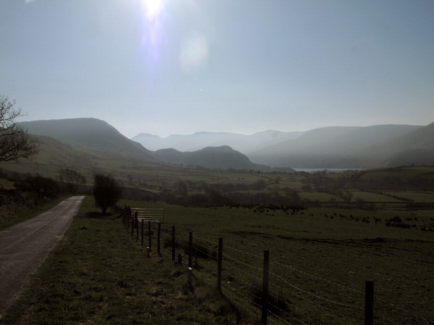
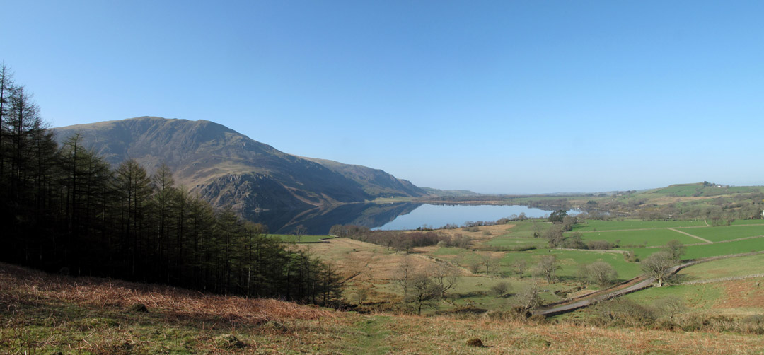
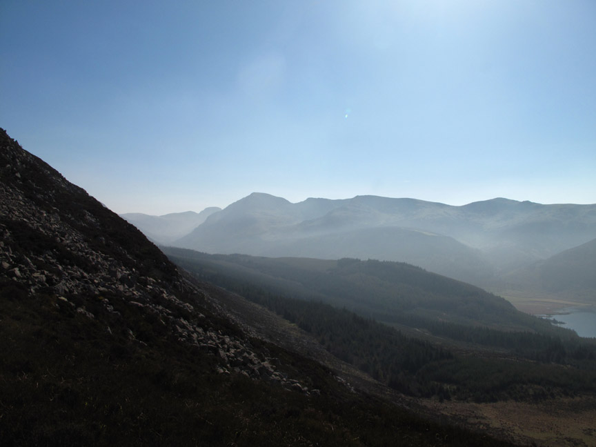
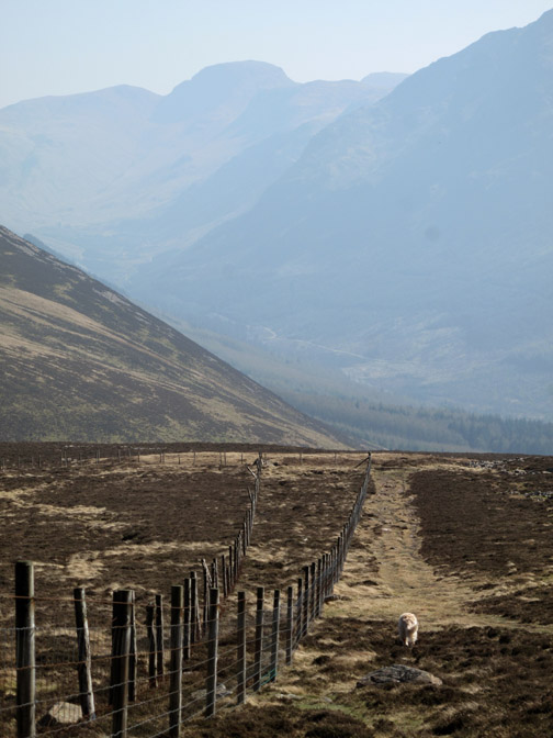
Over the hill and not too far away, Ennerdale . . . ahead is Great Borne and its outlier, Bowness Knott. Behind them Caw, Haycock, Steeple and Pillar stretch up the valley and away into the haze.
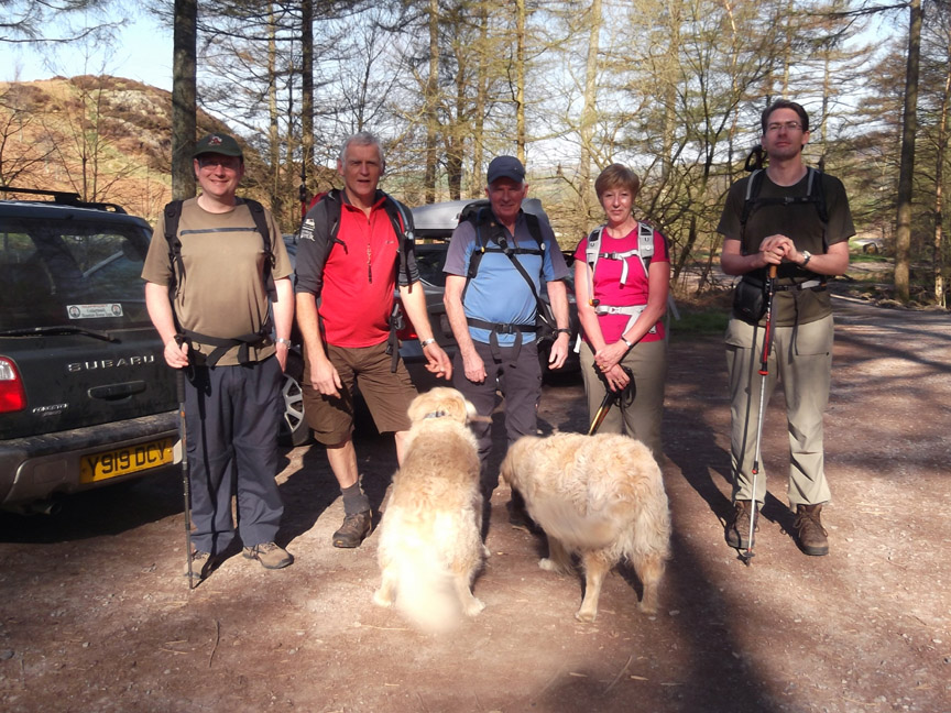
Today's crew . . . a bit of an OFC mini-meet ! Ian Smith (up from Bedford), myself, Bill and Sherran (on hols from Cambridgeshire) and Alan Kilduff (Lancashire). [ Photo by Ann.]
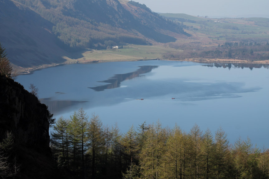
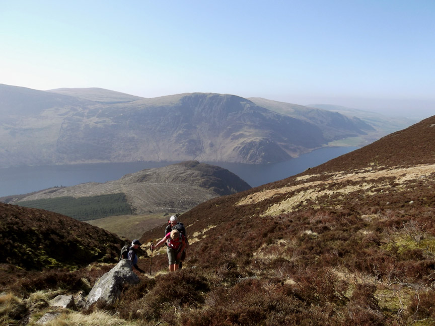
Time to start the climb at the the bend where the road crosses Rake Beck. There's an obvious stile to use and as we climb the view of Ennerdale Water expands below us. The bright weather is tempered by a strong haze at this point, which is evident even looking across the water at Crag Fell.
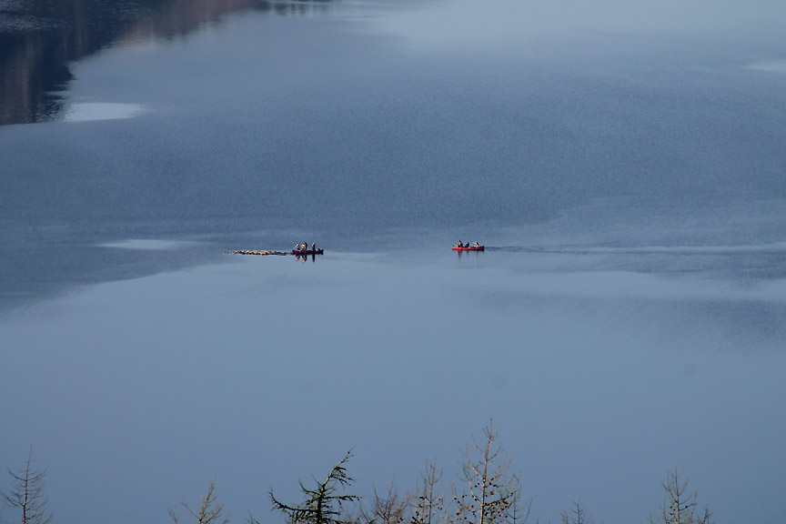
Below there are a couple of boats out on the water.
They've paddled out to explore the 'island' in the centre of the lake. In calm weather the rocks stand clear of the water but in rough weather any waves will hide the island completely.
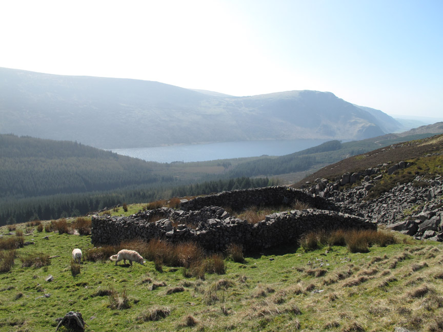
Part way up there's a circular stone wall . . . this is an old 'Fox Bield' or a fox trap. An item of bait (a dead chicken or some meat of some sort) was hung over the hole and in his/her attempts to secure it, the fox would fall in and then couldn't get out due to the shape of the structure. A free meal but often a final one for the fox.
Climbing upward once again . . . the view up the valley was still notable for the strong haze.
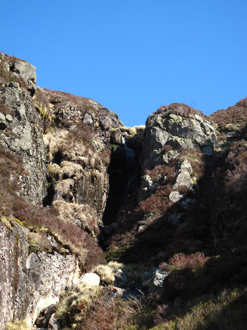
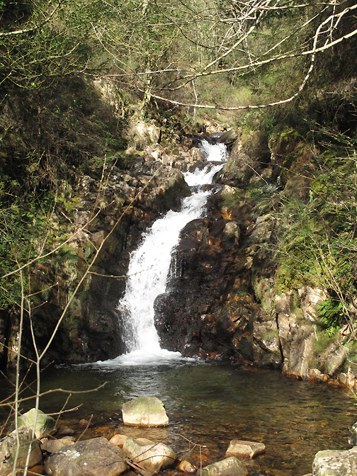
Nearing the waterfall on Rake Beck which follows down that cleft in the rock.
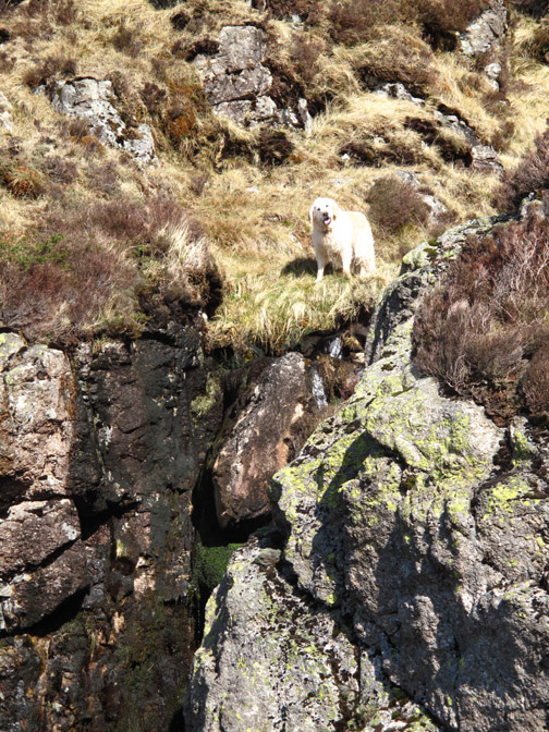
SCAREY . . . Big Brother is watching you !
" But I'm ok . . . as Dad is down here with me ! "
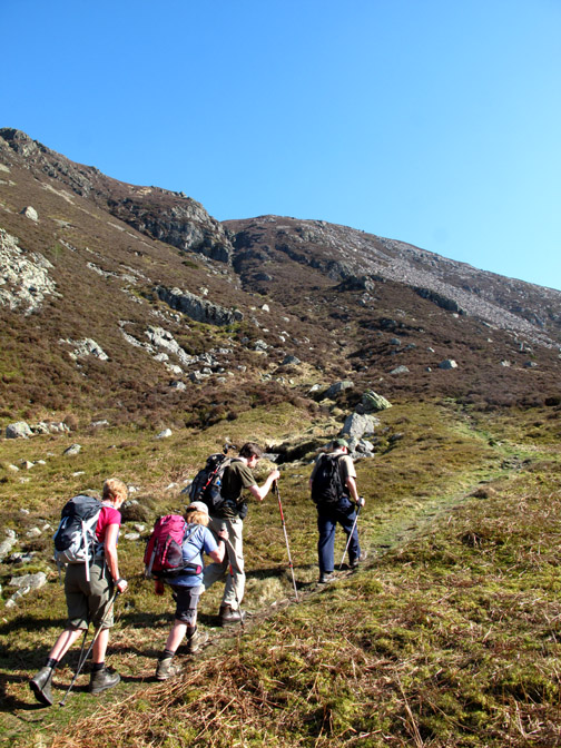
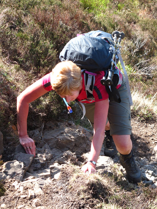
The steep climb over . . . we reach more level ground.
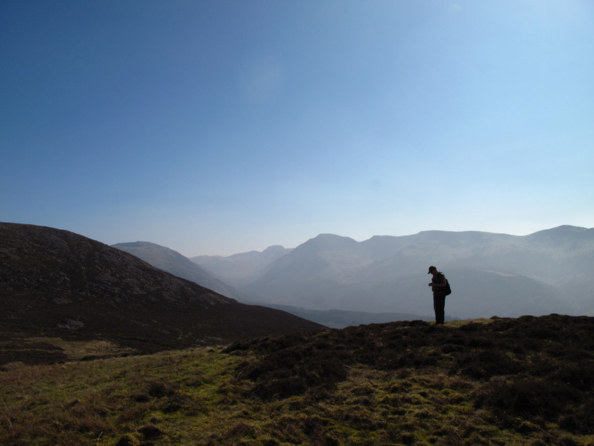
Ian stops to admire the view as we divert west slightly to visit the summit of Herdus.
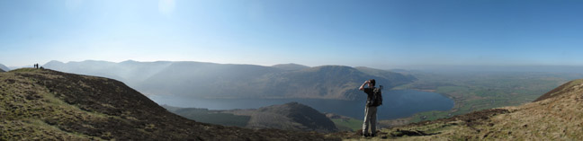
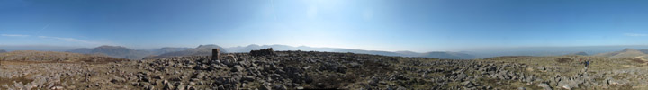
Alan and I walk a little further on enjoy a a better view of the valley . . . just as the others reach the top of Herdus itself. Click here or on the photo above for a larger Loweswatercam annotated panorama.
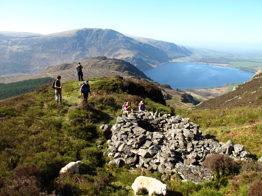
Walking ahead slightly, I'm first to the top and manage a virtually people-free photo from the summit of Great Borne Click here or on the photo above for a Loweswatercam 360 degree annotated panorama.
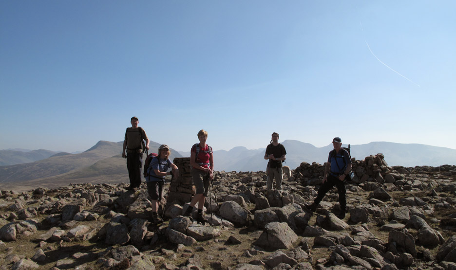
My fellow walkers arrive and form some sort of group for a Great Borne trig-point photo.
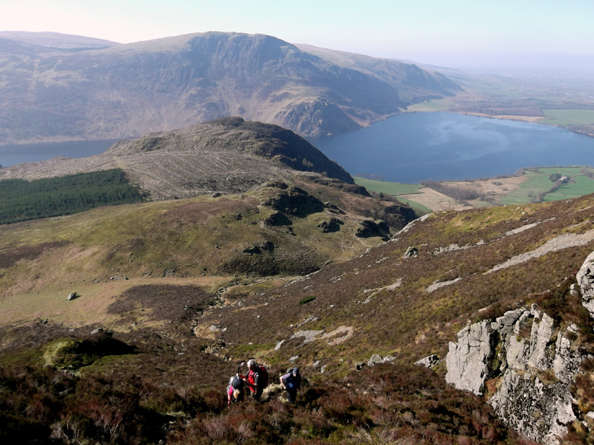
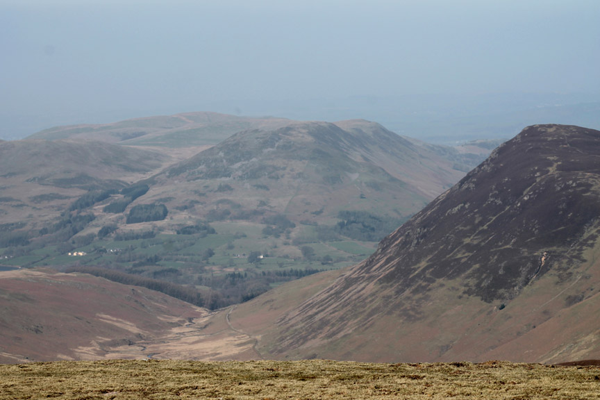
A quick change of camera and lens and some of the detail shows through. This is Low Fell and Fellbarrow past the heather-covered slopes of Mellbreak.
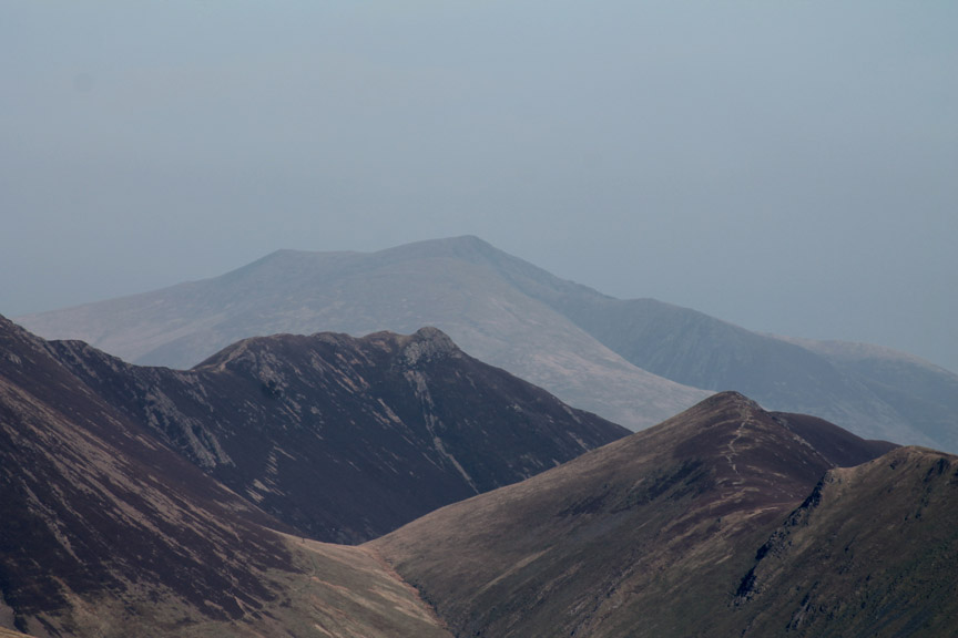
Full zoom shows Ard Crags, Causey Pike and distant Blencathra.
At the head of Ennerdale valley . . . Green Gable and Great Gable.
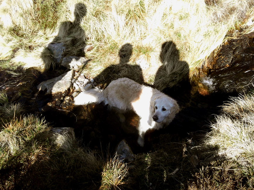
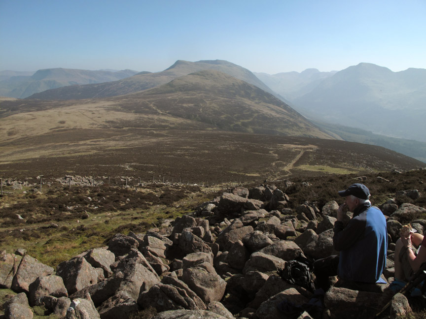
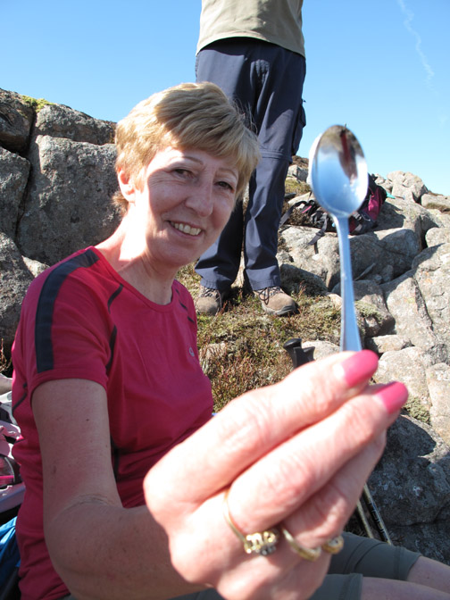
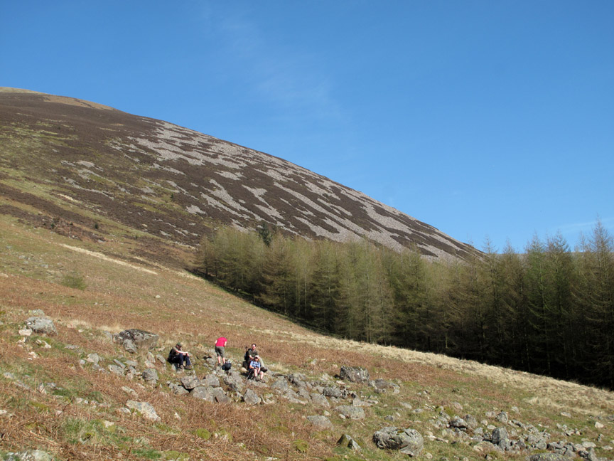
Just off the summit was a good place to stop for lunch . . . great views and granite rocks, plus a sit-mat, make comfortable seats.
Ann enjoys a view of Grasmoor . . . but what is Bill doing down there with Sherran ?
Problem solved . . . coffee is served !
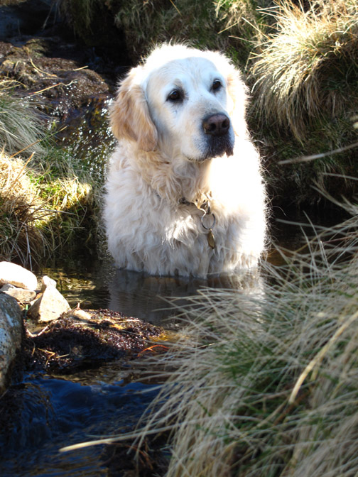
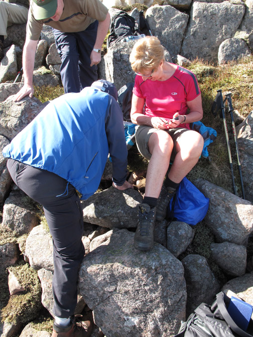
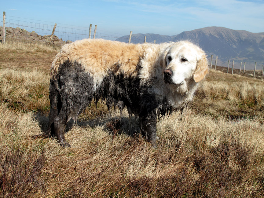
After a second squeeze of the suntan cream bottle we're off, but at the turn of the fence is Scaw Well, a mountain spring and cool, boggy, gloriously wet and mucky pool . . . yes, you've guessed it !
A dog has got to do what a dog has got to do !
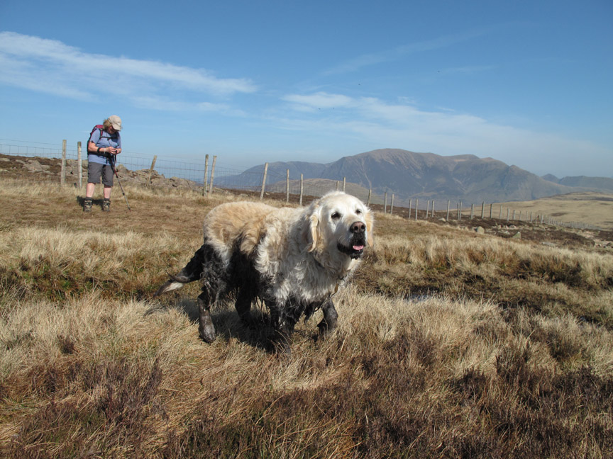
I'm off . . . as that look means Harry is just about to shake that peaty water all over the place.
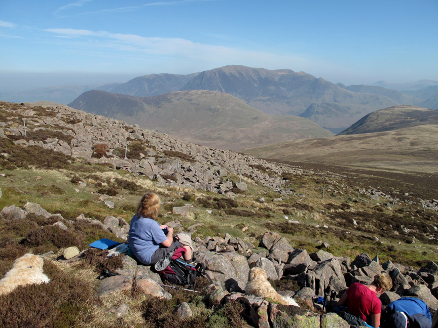
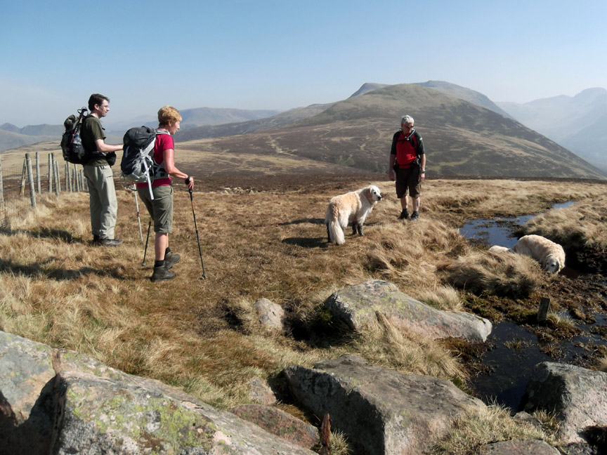
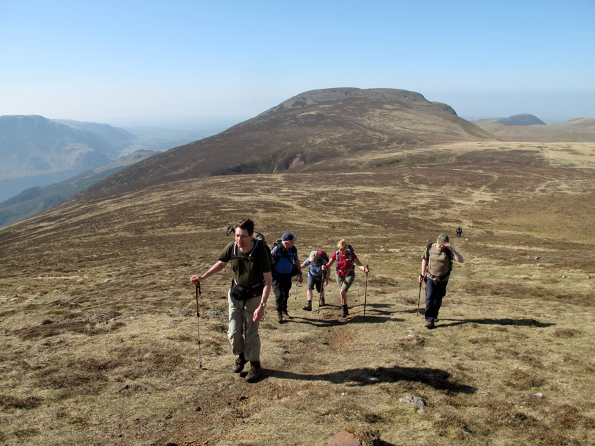
From Great Borne we follow the high ground across to Starling Dodd . . . Alan leads the second climb. Behind us you can see two of the relatively few other walkers we had seen today . . . these are less frequented fells.
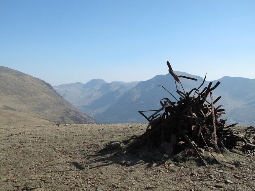
The iconic summit cairn of Starling Dodd where walkers over time have gathered old Victorian iron fence posts to form an artistic sculpture. Sign it and take it to London, you could probably call it art !
It's a great place for a second summit view. Click here or on the photo above for a Loweswatercam 360 degree annotated panorama.
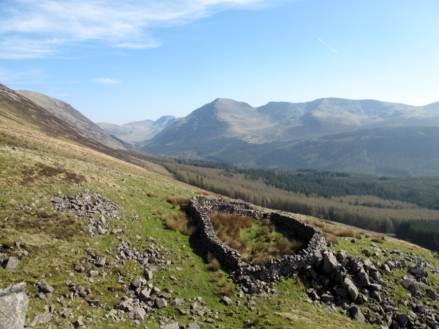
Our plan was now to drop down off the side of Starling Dodd to the forest below but we saw an odd piece of stone wall in the distance and Bill and I diverted across to Clews Gill.
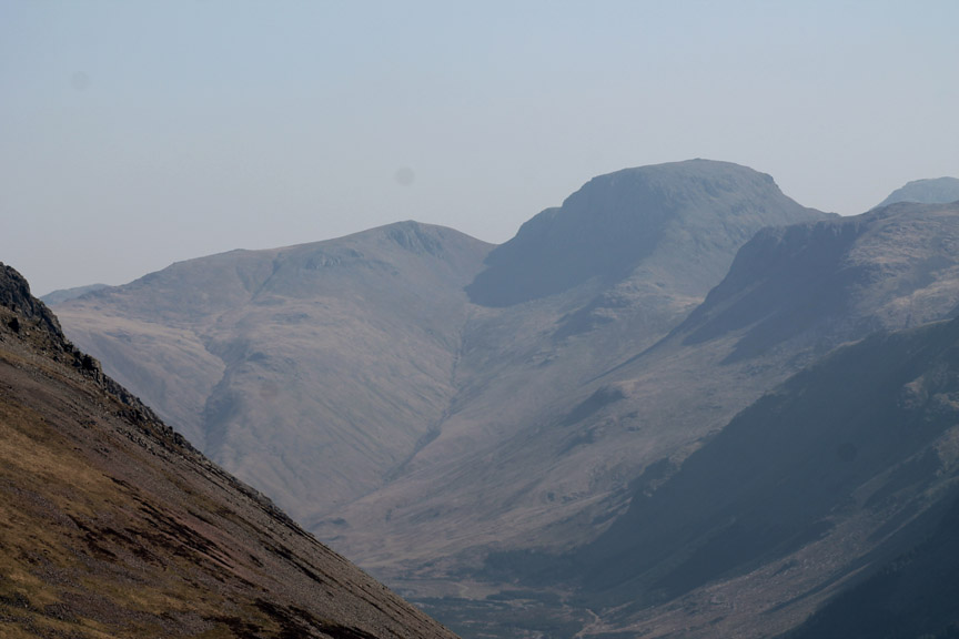
Had we got the map out we would have noted the sheep fold clearly shown . . . but then we wouldn't have caught the view back up the valley to Pillar and Great Gable.
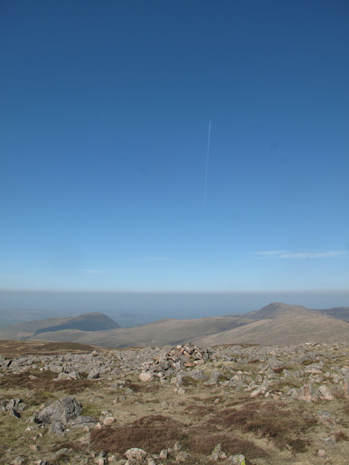
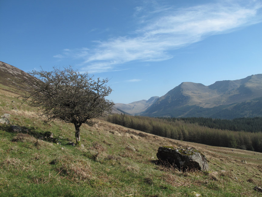
The gentle breeze that had been blowing most of the morning has been clearing the haze away so the long distance views are slowly improving as the day goes on.
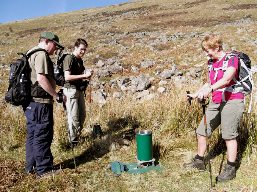
Meanwhile . . . the others had taken a more direct route and found this item on the fell side . . . an Ennerdale rain gauge . . . hardly used over the last ten days !
After the rapid descent the others take a break, theoretically to wait for us after our longer diversion to the sheepfold. Actually, I think they were just enjoying the sunshine !
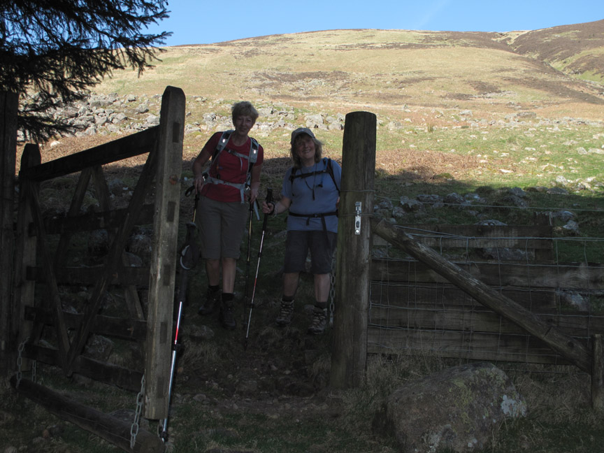
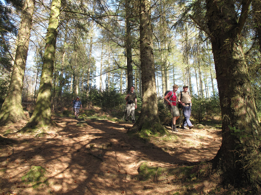
Smiles all round as we reach the forest gate. The contrast in the shadows here meant that the camera had to use the flash setting to catch the detail.
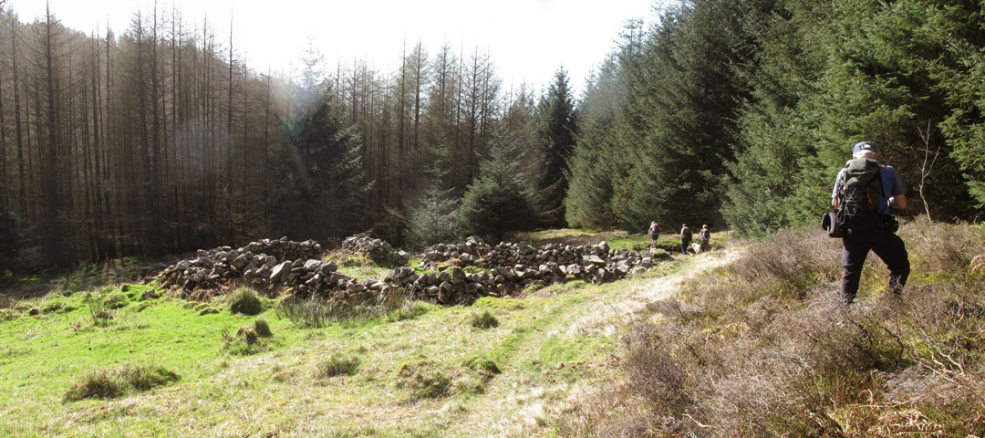
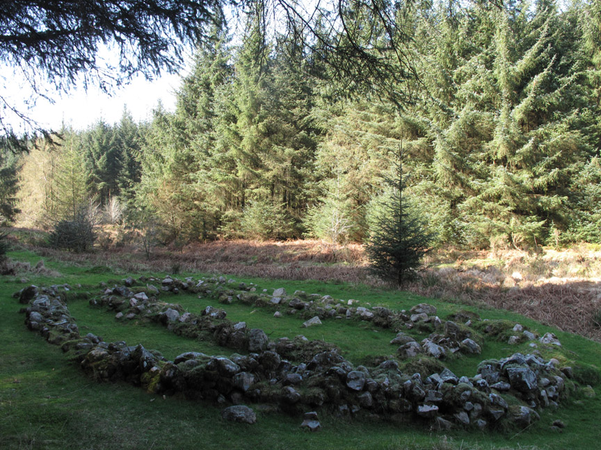
" Settlement at NY 132 1590 " The map was out and ready for this pile of stones.
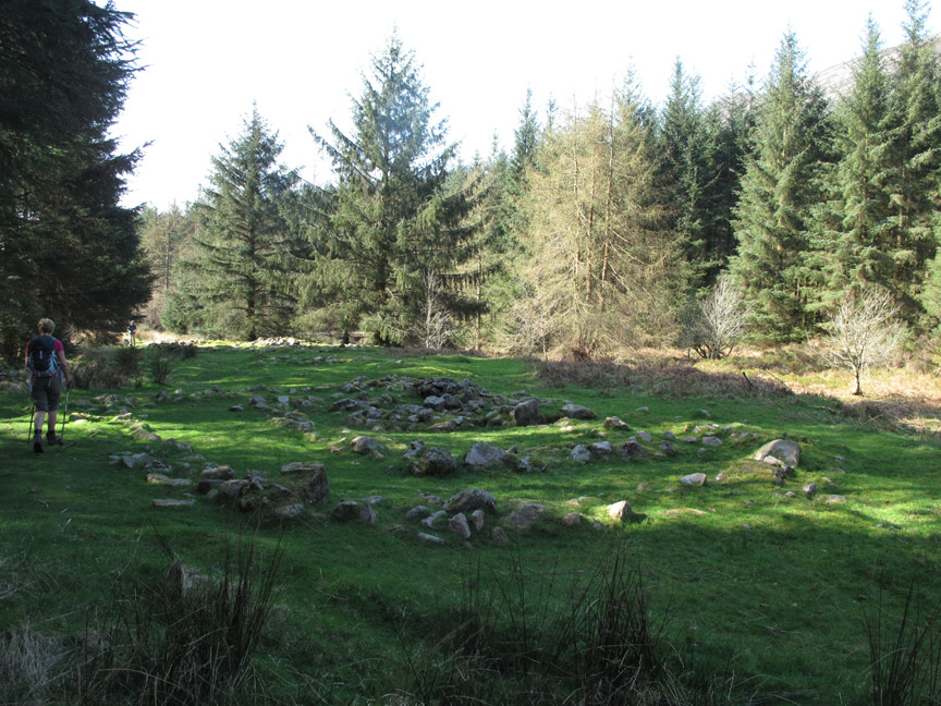
As we walked through the forest and crossed Starling Gill we came across more ancient walls. This area is notable for Iron Age and Bronze age settlements but exactly what is what is difficult to tell as the signs have disappeared. The area also had a longhouses for the workers cutting timber in medieval times. Maybe this was one ?
There was an iron foundry down by the lakeside which used iron from "Iron Crag" and timber from the forest to make wrought iron, which was subsequently transported down the lake and over to Barrow-in-Furness on the coast. However these ruins probably pre-date those times.
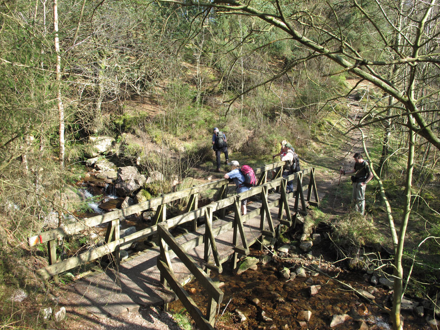
Continuing down the forest track we turned onto the way-marked "Smithy Beck Trail"
. . . which took us over the said river.
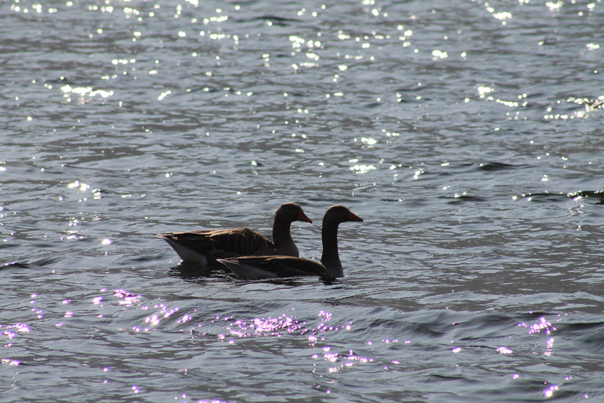
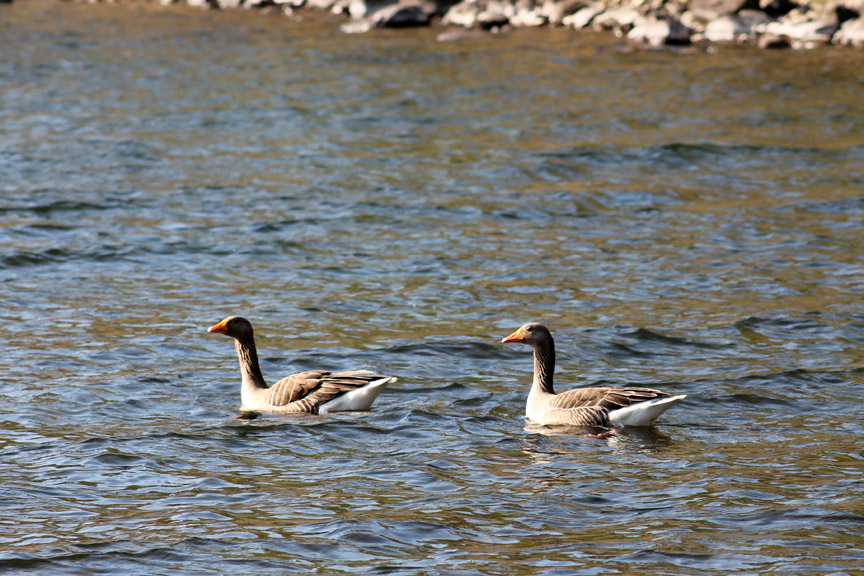
Greylag Geese floating in the sparkling waters of the lake.
A great view of Steeple Fell as we arrived at the lake.
As we walked out onto a slight headland the sun caught their other side and the true colours of the geese were apparent.
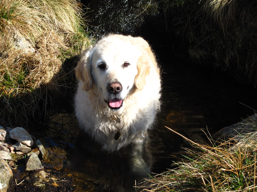
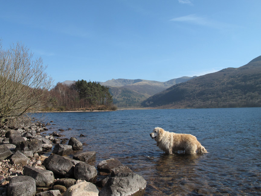
The lake also gave the opportunity for the dogs to swim, cool down and hopefully loose some of the peat bog that had stayed in their coats from earlier. - - - o o o - - - We'd booked a Kirkstile meal for later in the evening . . .
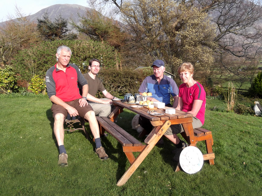
. . . so there was plenty of time to enjoy some famous Loweswatercam Cheese Scones helped down with copious cups of afternoon tea in our garden. - - - o o o - - - |
Technical note: Pictures taken with either Ann's Fuji Finepix Compact or my Canon G10/1100D camera. Resized in Photoshop, and built up on a Dreamweaver web builder. This site best viewed with . . . flour, butter, milk, cheese and a few secret ingredients, cooked and served on a fine day. Go to Top . . . © RmH . . . Email me here Previous walk - 25th March 2012 Loweswater Sky at Night A previous time up here - 18th March 2006 Great Borne and Starling Dodd with Angie Next walk - 29th March 2012 Hen Comb with Sherran and Bill More pictures of the walk from Bill, Alan and Ian
|