![]()

Remember: Press F11 for a full
screen view of this page.
|
|
|
Remember: Press F11 for a full
screen view of this page. |
|
" Sunshine over Cogra " Date & start time: Monday 9th January 2012 1.30 pm start. Location of Start : The Lamplugh Mines track, Cross Rigg, Cumbria, Uk ( NY 086 185 ) Places visited : Followed up alongside Leaps Beck & Knock Murton, to the forest and back. Walk details : 2.75 mls, 550 ft of ascent, 1 hrs 15 mins. Highest point : Overlooking Cogra Moss, 1000 ft - 307 m above sea level. Walked with : Ann and the dogs, Harry and Bethan. Weather : Sunshine all the way !
|
" Sunshine over Cogra " at EveryTrail [ Alter the settings to zoom or change the Map, use Everytrail to download the Gps route ] |
|
Off for a walk on the west side . . . no . . . not the wet side but the west side of the fells at Lamplugh, up and round the corner from Loweswater, about a quarter of an hour's drive from home.
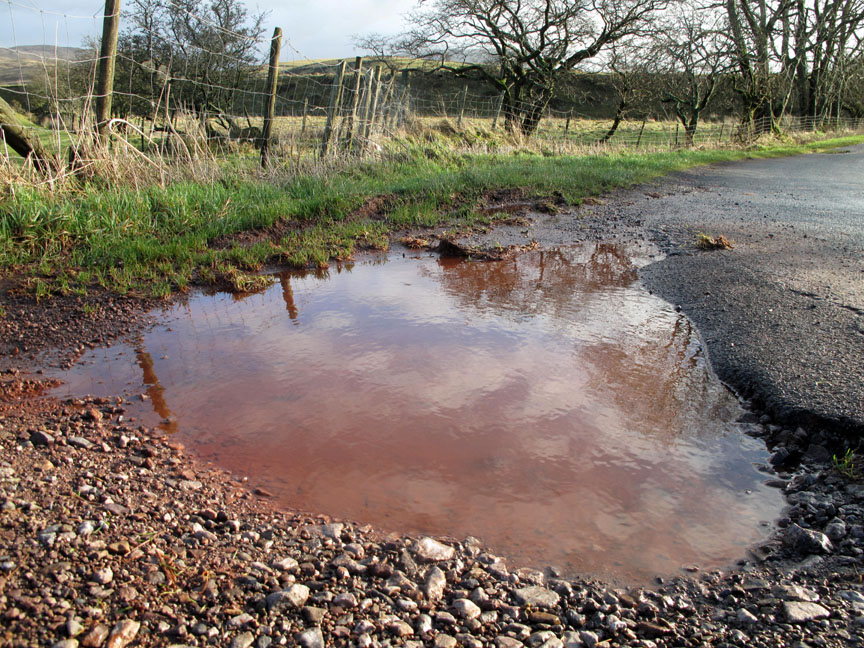
You can tell a) it has been raining recently, b) there's been lots of rain recently as the bank is made up of soft mud, c) the pool of water is red from the iron content of the soil . . . we must be on the road near Knock Murton.
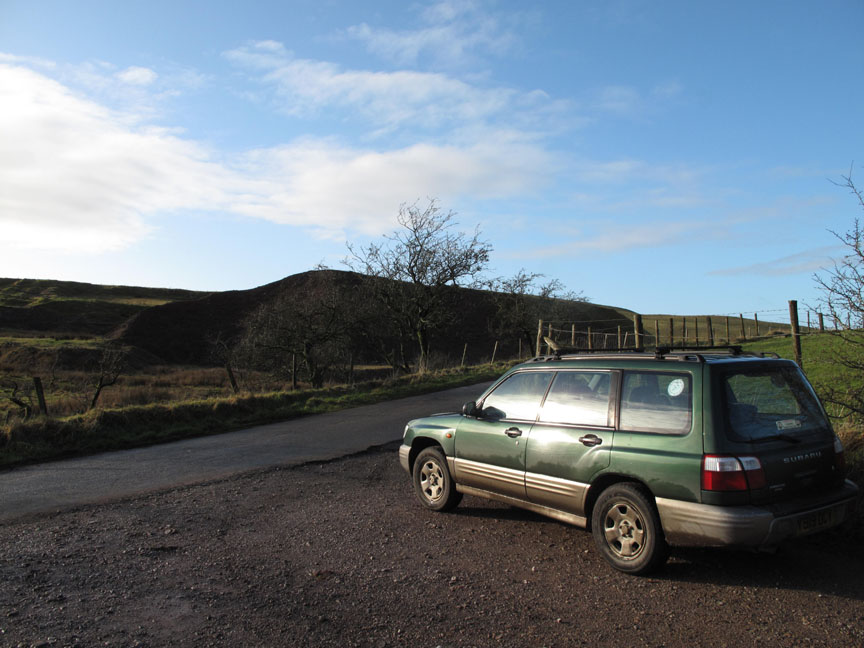
Old iron ore waste tips are a feature of the fell road up here at Cross Rigg. We park at the exit from the old mine road that travels across the fields from the forest.
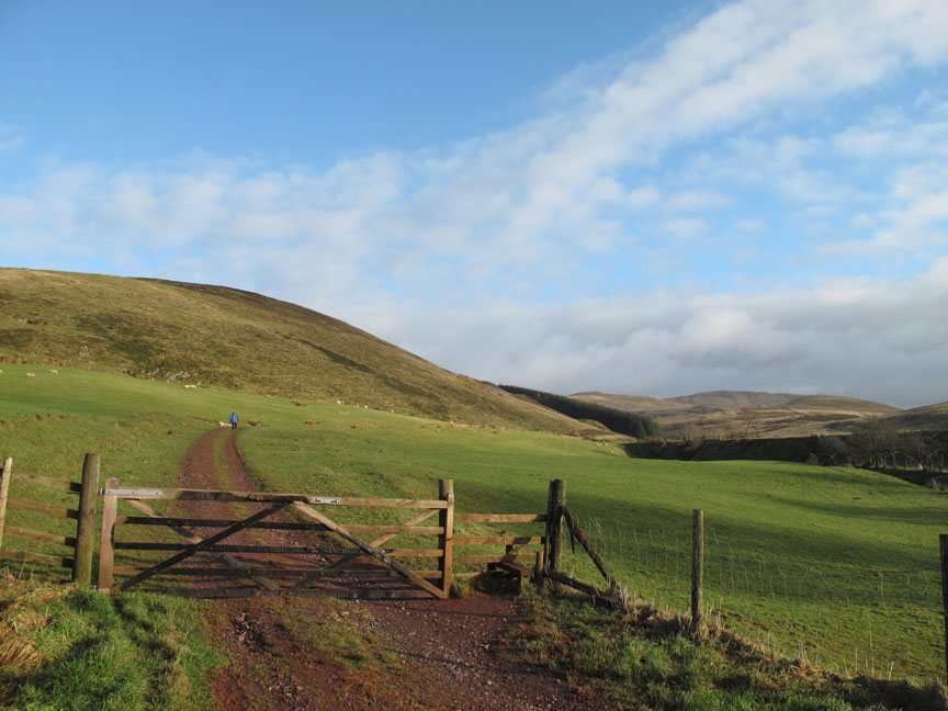
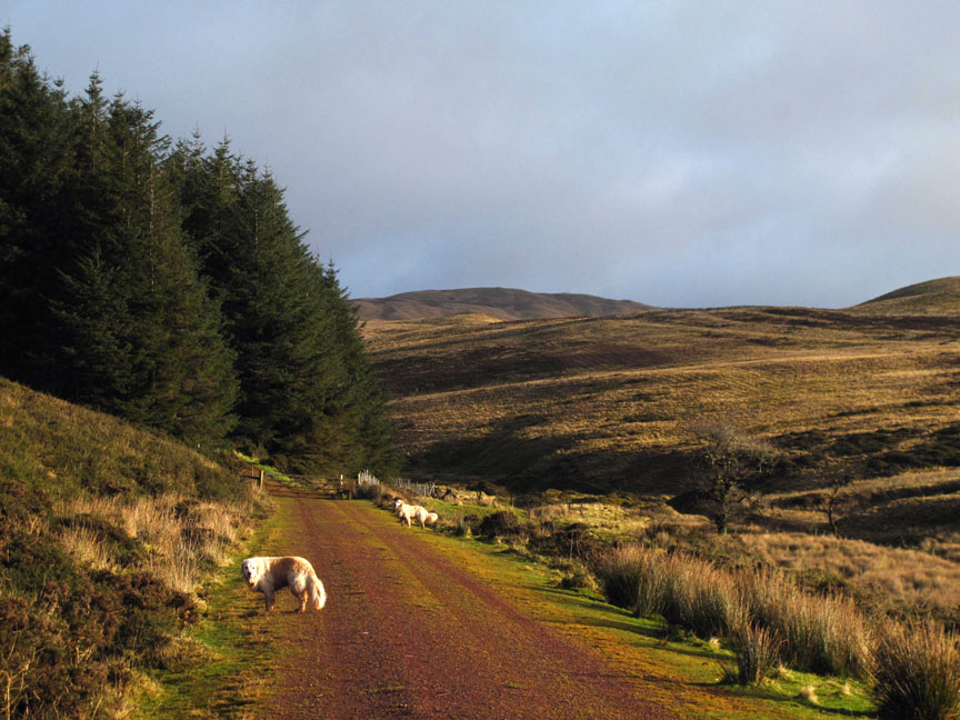
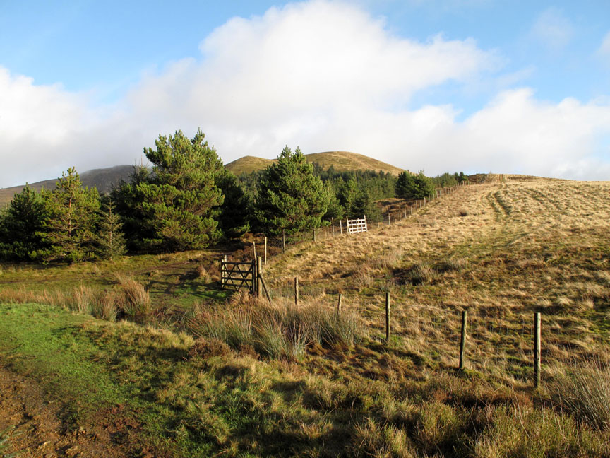
Our route would follow up the track up and into the forestry in the distance.
Nearly at the forest gate . . . the last branch of the railway used to run in the cutting below the track.
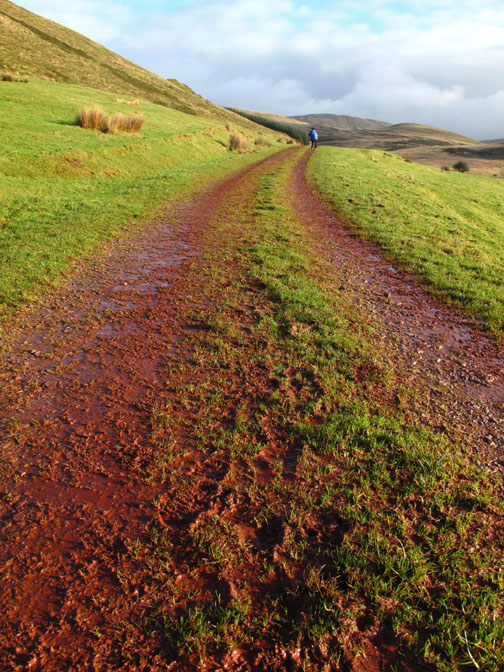
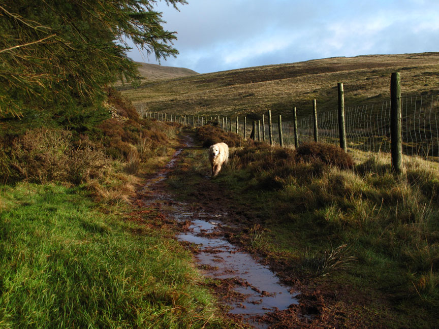
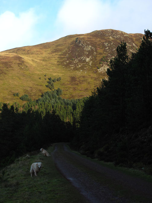
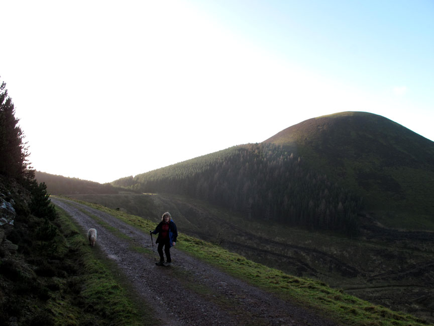
Round the outside of the trees. The path is holding up well, possibly due to few people using the track in this poor spell of winter weather. The dogs are getting progressively redder as they run back and forth.
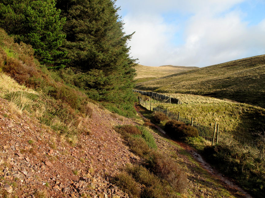
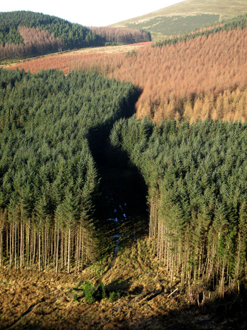
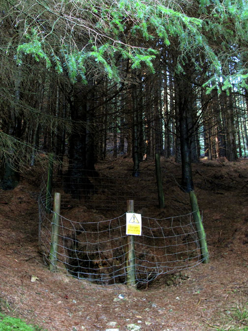
The last of the spoil heaps originates from an mine addit higher up in what is now a mature stand of forest. It would have all been open fell when the mine was in production.
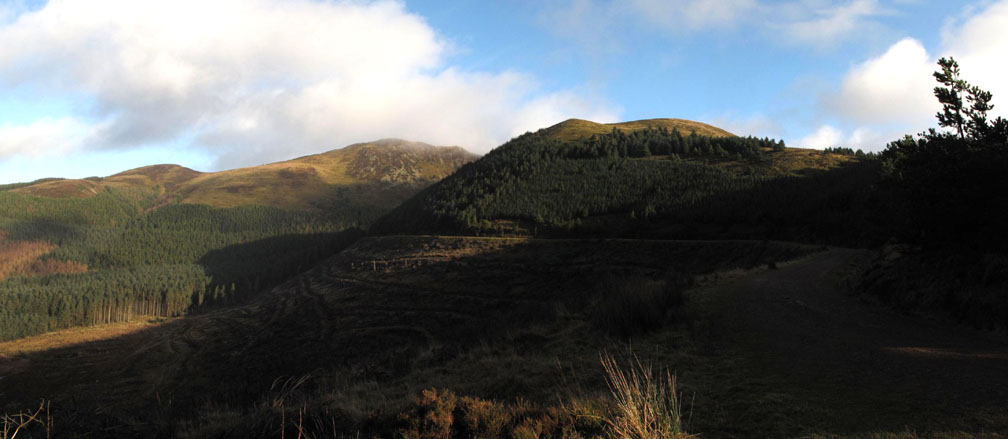
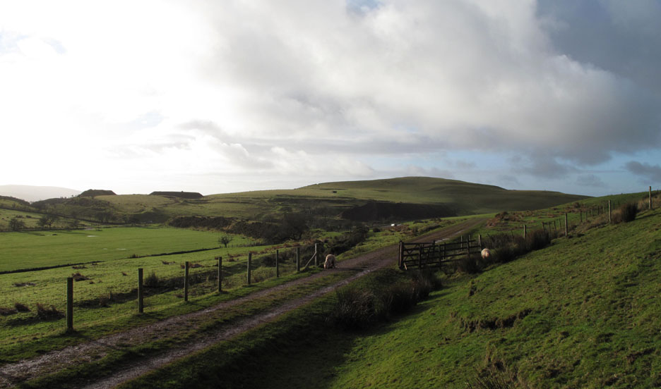
The track splits and the right hand option would have taken us up onto Low Pen and eventually Blake Fell . . .
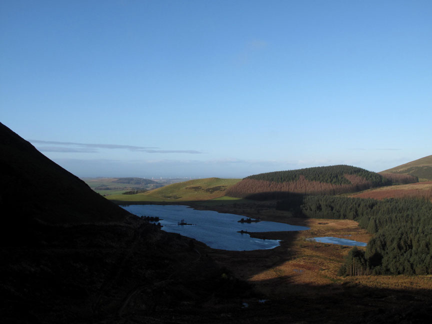
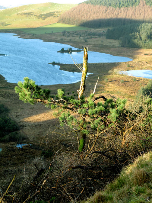
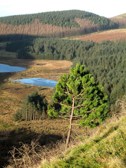
But we stay low and walk across to the forest track that gives us beautiful views of Cogra Moss reservoir. The track from Felldyke, should we have used it today, would have been in Knock Murton's shadow all the way.
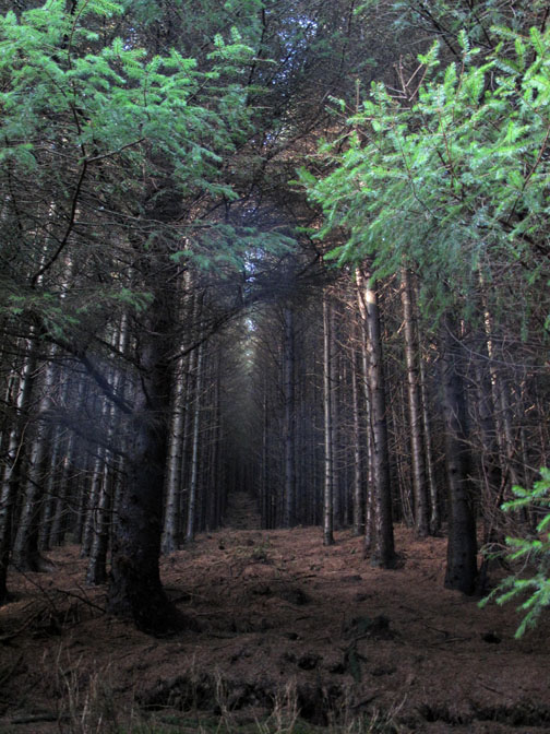
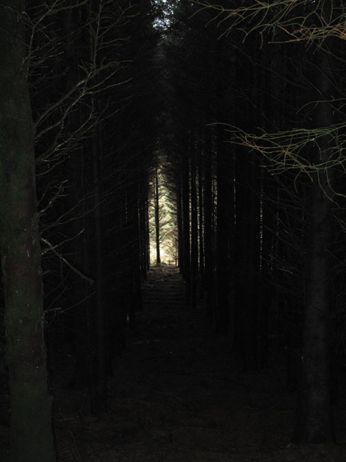
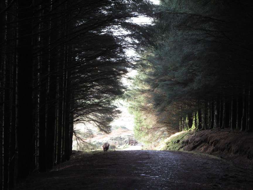
With the low winter sun, even our track is is temporarily in the shade. We walk along the forest road, contouring round towards Blake Fell.
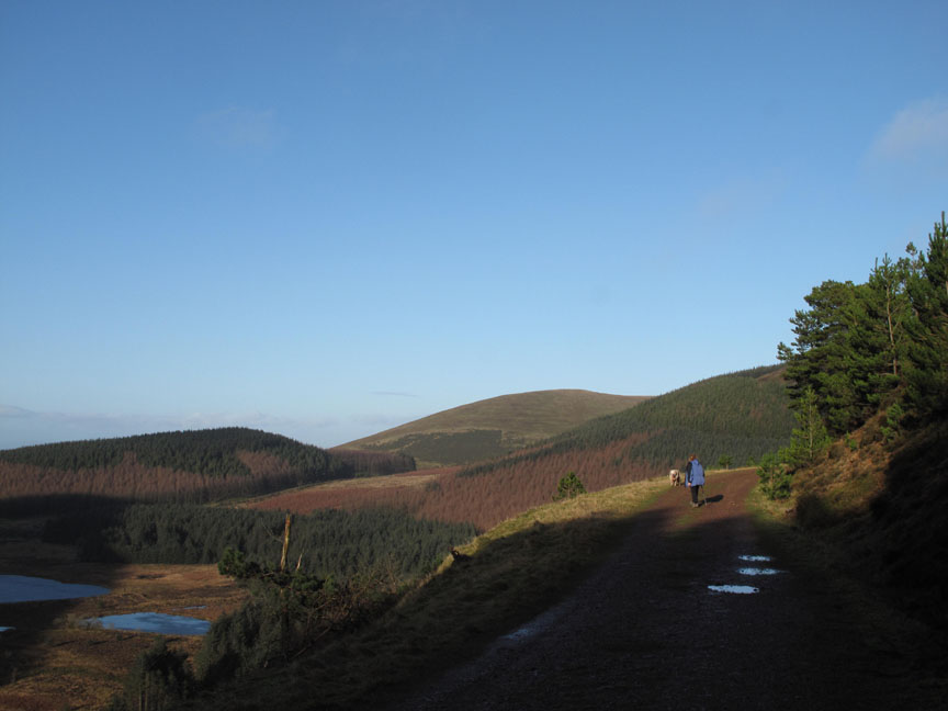
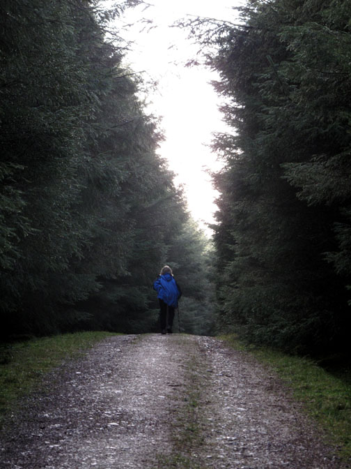
Ann walks out of the darkness into the light.
Then we turn and retrace our steps . . . pass the sunglasses !
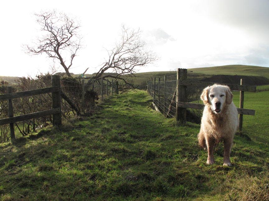
Safely out . . . protected by our faithful hounds . . . not !
The grassy top of Keltonfell and several iron ore waste tips define the skyline to the west. The old rail track bed can be seen below and to the left of our path.
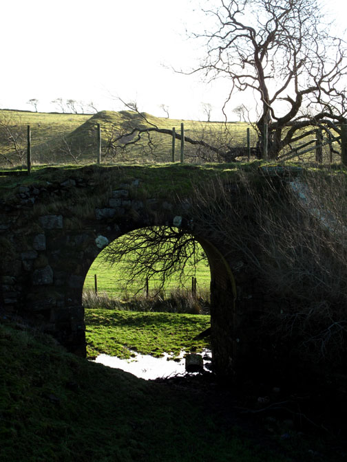
" Can we go over the bridge and back along the embankment ? " . . . " Okay then." . . . Big Kid ! - - - o o o - - - |
Technical note: Pictures taken with my Canon G10 camera. Resized in Photoshop, and built up on a Dreamweaver web builder. This site best viewed with . . . more of this big yellow light in the sky please. Go to Top . . . © RmH.2011 . . . Email me here Previous walk - 5th January 2012 1st Wainwright for a while A previous time up here - 6th February 2010 Blake Fell from Cogra Moss Next walk - 12th January 2012 Low Fell with a football
|