![]()

Remember: Press F11 for a full
screen view of this page.
|
|
|
Remember: Press F11 for a full
screen view of this page. |
|
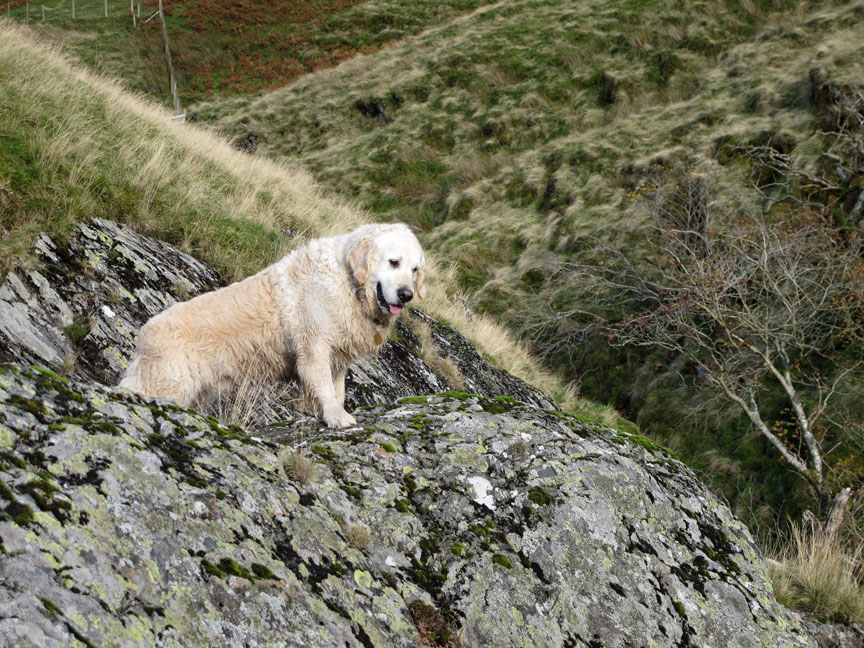
" Souther Fell and the Falls " Date & start time: Sunday 17th October 2011, 11.45 am start. Location of Start : Roadside at Mousthwaite Comb, Scales, Cumbria, Uk ( NY 350 272 ) Places visited : Mousthwaite Comb, Souther Fell, Glendermackin Valley, White Horse Bent. Walk details : 5.25 mls, 1650 ft of ascent, 3 hrs 50 mins including lunch. Highest point : Souther Fell 1712 ft - 522 m. Walked with : Jo, Ann and the dogs, Jodie and Amber, Harry and Bethan. Weather : Poor to start with squally showers but clearing nicely.
|
"
Souther Fell and the Falls " at EveryTrail [ Alter the settings to zoom or change the Map, use Everytrail to download the Gps route ] |
|
The weather is not so good today but we get out anyway, choosing a northern fell to avoid the worst of any rain. A poor start improves over lunchtime and by the end we are walking in sunshine in the remote Glendermackin Valley.
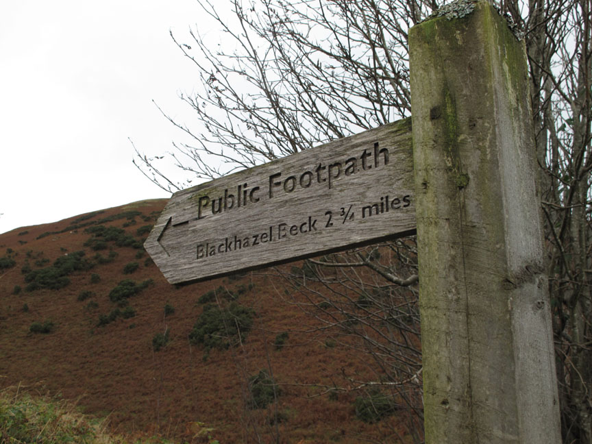
At the time we didn't know where Beckhazel Beck was, but as our walk was potentially longer than 2.75 miles, then we may find out where it is along the way. On checking the 1:25k map later I discover Beckhazel is the small stream that drains into the River Caldew from the back of Mungrisdale Common. Of all the small streams and potential places to signpost, such as the larger River Glendermackin, Scales Tarn, Sharp Edge, Foule Crag, it seemed strange that they picked this one for the signpost . . . fame at last for Beckhazel Beck . . . but nowhere near where we would walk today !
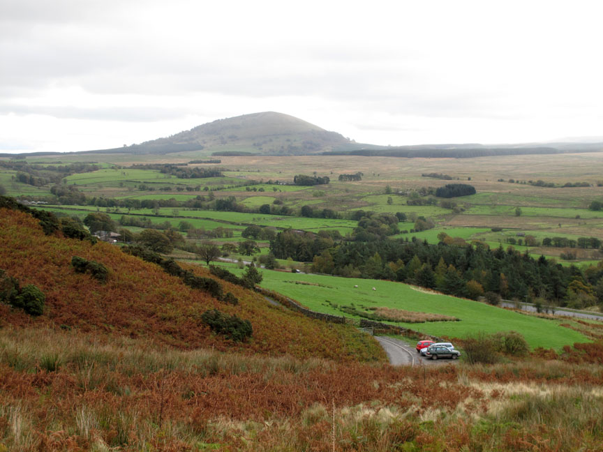
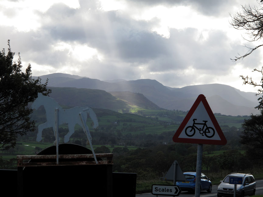
The signpost was down at the roadside at the bottom of Mousthwaite Combe, close to where we parked today. That's Great Mell Fell in the background, clear of cloud, which is more than could be said of Loweswater when we left it half an hour ago.
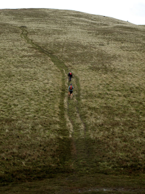
A wide angle shot looking up Mousthwaite Comb, the starting point for many routes including Blencathra, Souther Fell . . . and it seems, Beckhazel Beck.
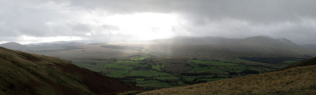
Mmmm . . . it seems that lovely Loweswater weather is spreading east and catching us up. A last ray of sun falls on Matterdale Common as we reach the top of the comb.
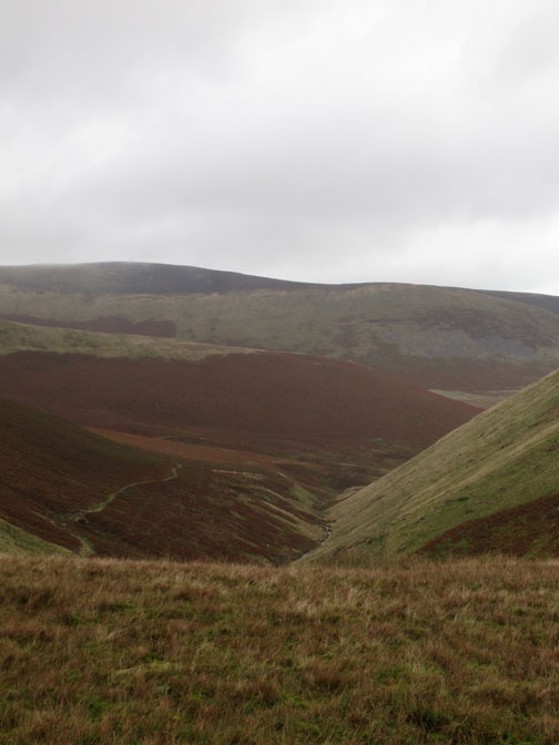
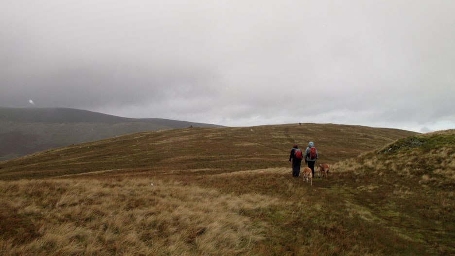
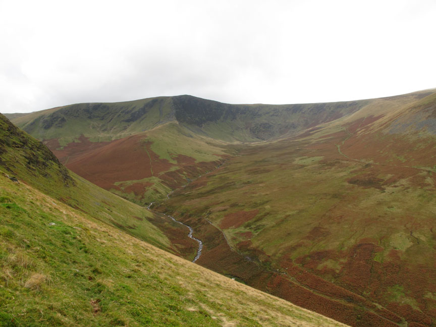
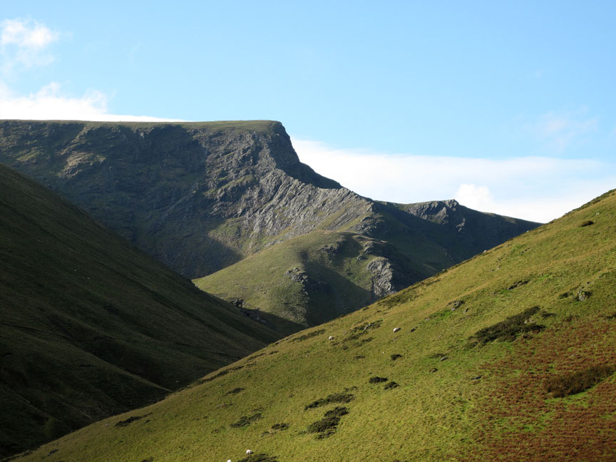
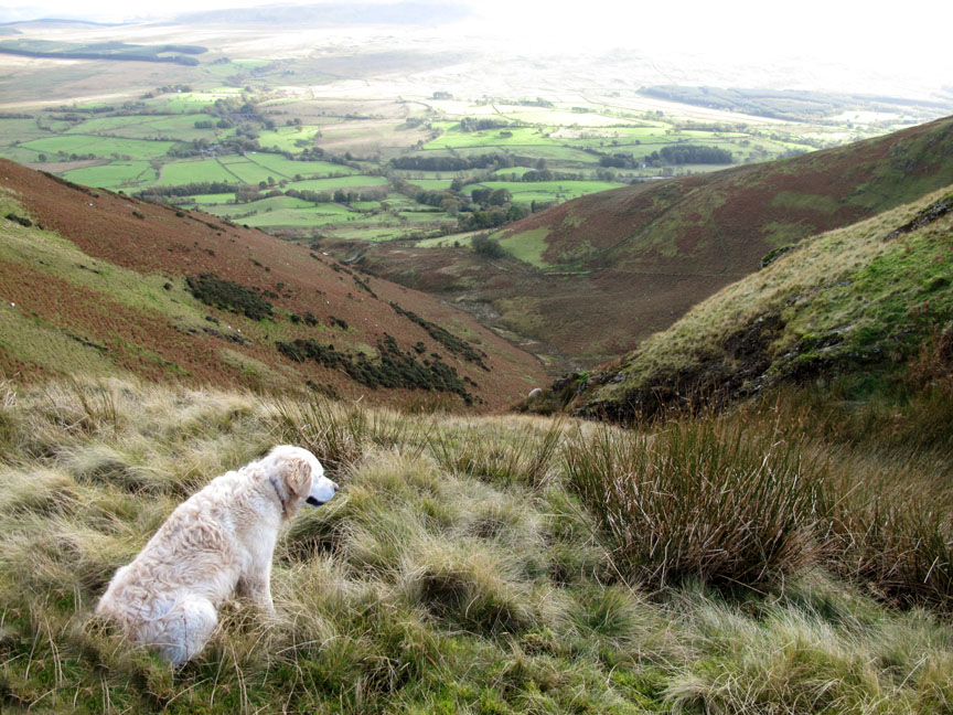
That's the Glendermackin Valley heading up to Scales Tarn, the path can be seen part way up the fell. Sharp Edge is up there somewhere in the cloud.
Souther Fell is a long, gentle fell of moorland grass spanning the gap between Mousthwaite Comb and Mungrisdale Village. The Glendermackin heads south from Blencathra then turns sharply to flow all the way round the northern end of this fell before turning south once again, joining with St John's Beck from Thirlmere. It then turns again and flows west into Keswick as the newly formed River Greta, a journey of thirteen miles to complete the five mile hop to Keswick from its source.
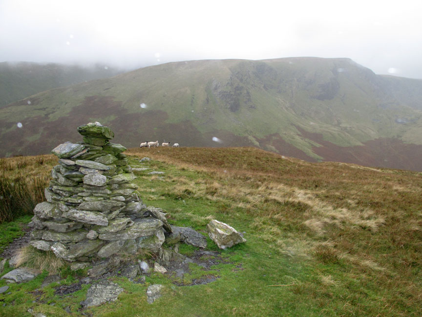
The southern cairn on Souther Fell was where the weather caught up with us.
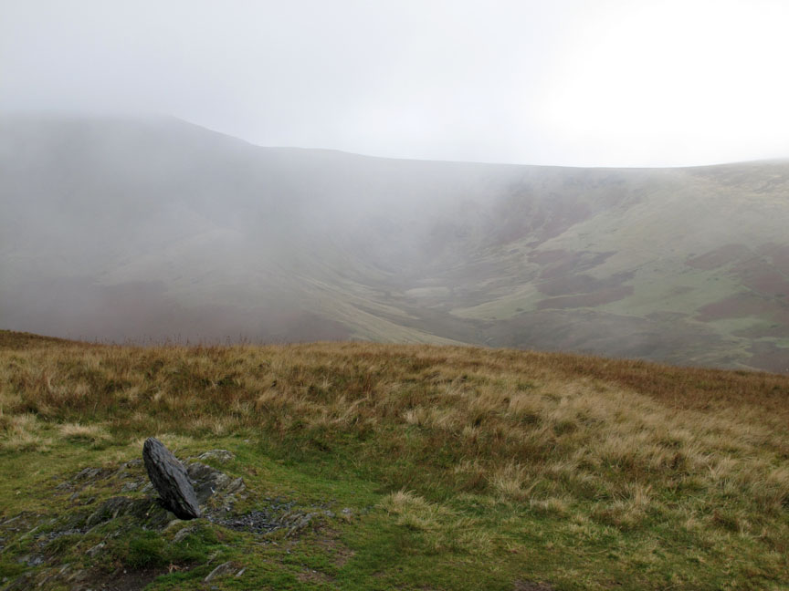
It wasn't as bad as it looked, but the low cloud did spread down the valley and obscured most long distance views for a short while.
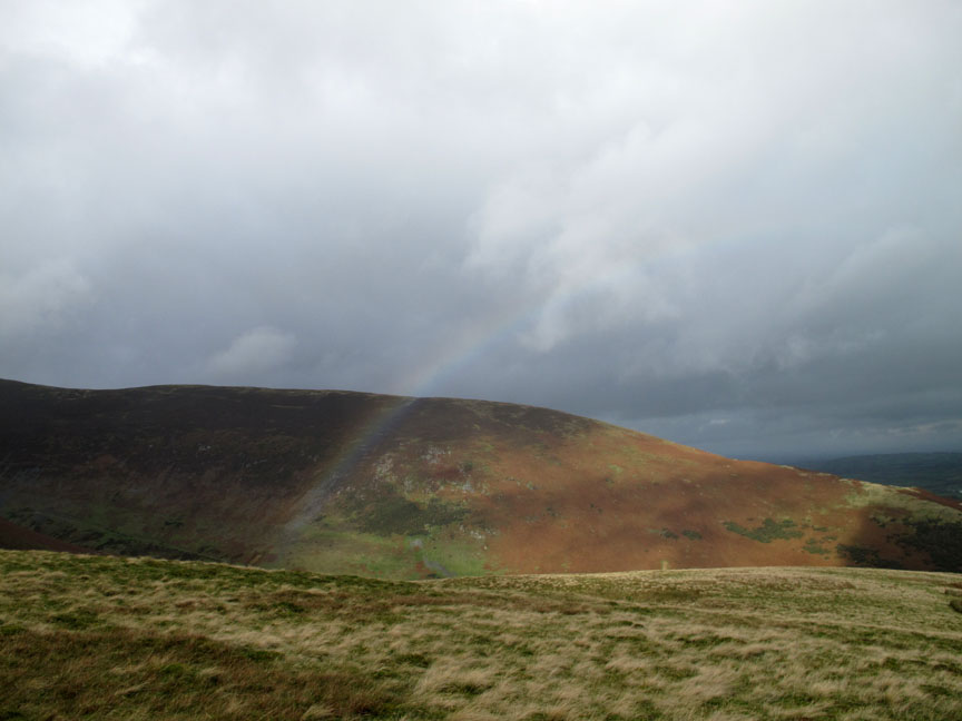
As the rain cleared we were treated to a little thank you present for our slightly damp troubles. A delightful little rainbow formed ahead of us over The Tongue of Bowscale Fell.
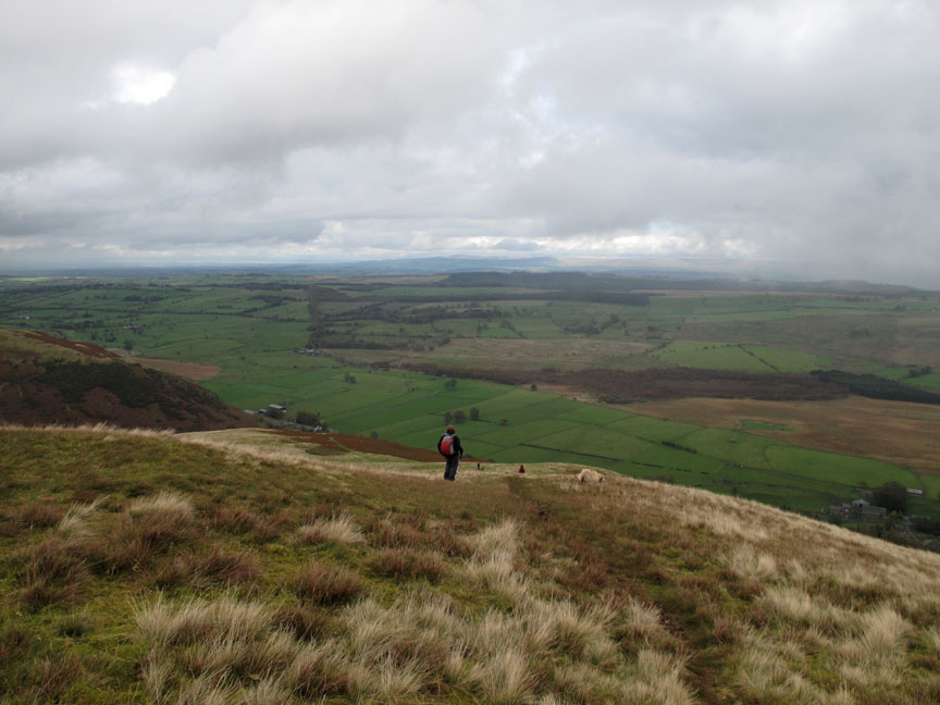
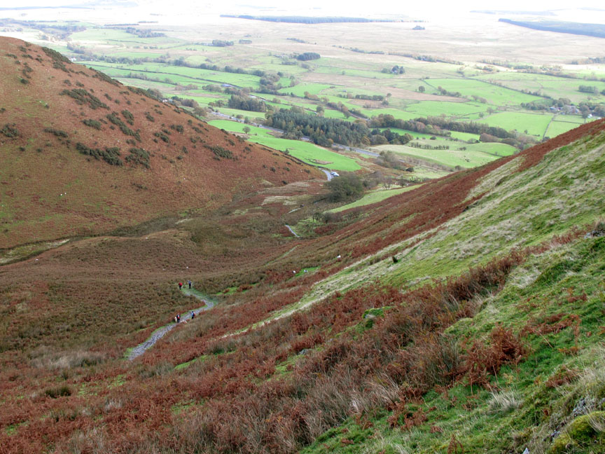
Ann looks down on the fields of Mungrisdale, the flat Eden Valley and the slowly expanding vista of the higher Pennines.
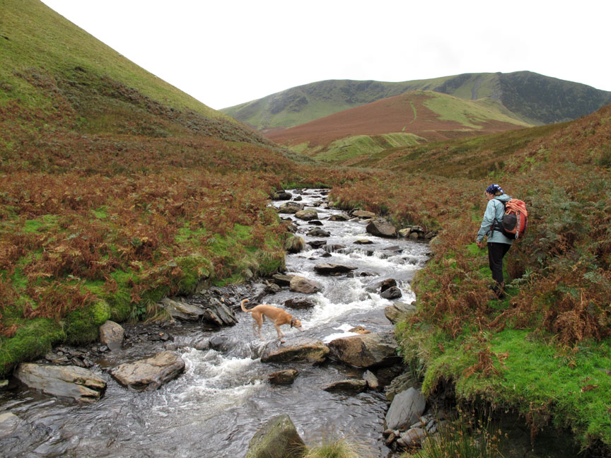
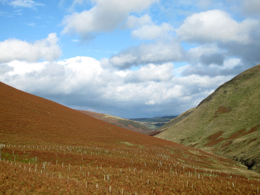
Our route now had two options, one was to follow the river down and round the fell end, returning by road, or to drop off the edge of the fell and follow the river upstream, back towards Mousthwaite Comb again.
with Bannerdale Crags providing a backdrop to our view.
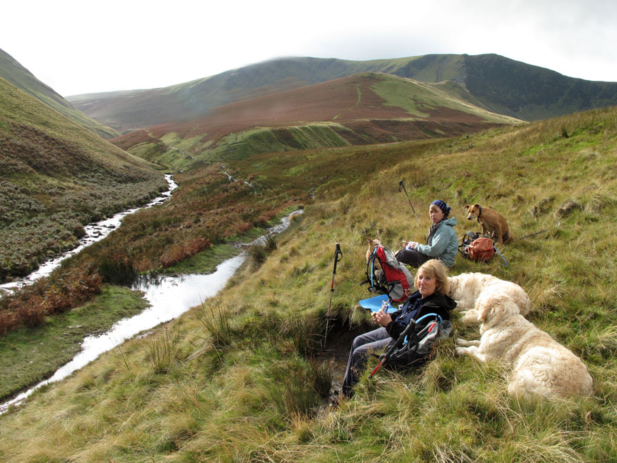
Could it be brighter, could that be sun on the puddles ? Could that be time for lunch . . . is the Pope Catholic ? . . . yes on all counts.
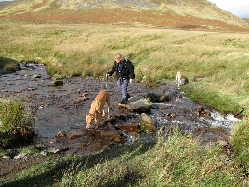
Underway again as we cross Bannerdale Beck.
Looking into the sun the crossing looks completely different.
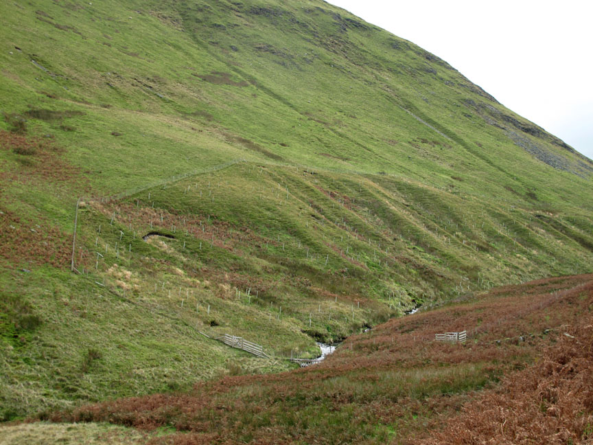
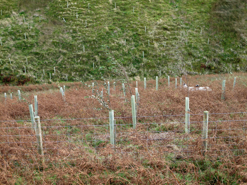
A few years back they planted new trees in the valley in order to extend the habitat potential and bio-diversity of the area. It will be interesting to see how much they've grown.
Some of the trees have grown well and have climbed above their plastic tube protection . . . others seem a little slow. I'm sure the fence was to keep those sheep out of the newly planted area.
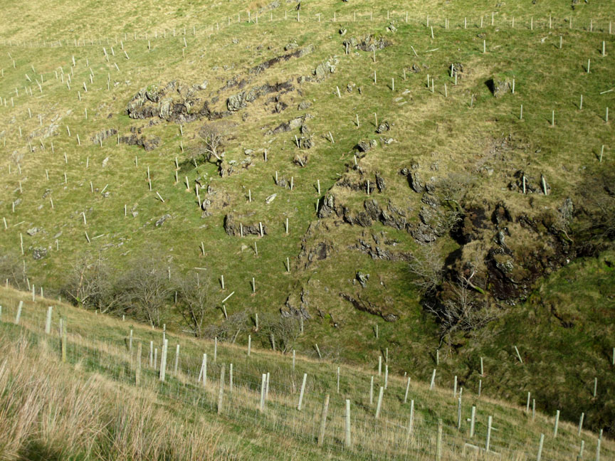
Higher up the valley and the poor soils and harsh climate of the valley has not done great things for the "new forest".
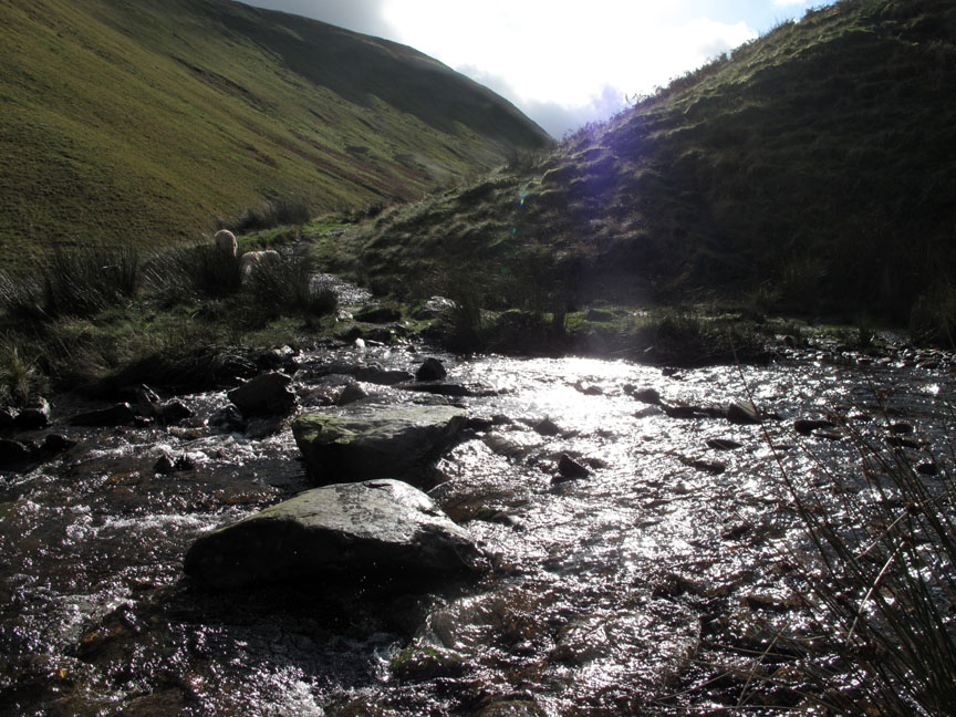
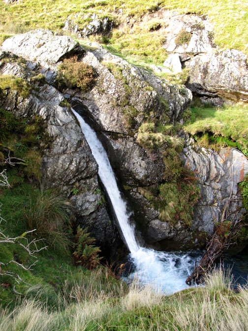
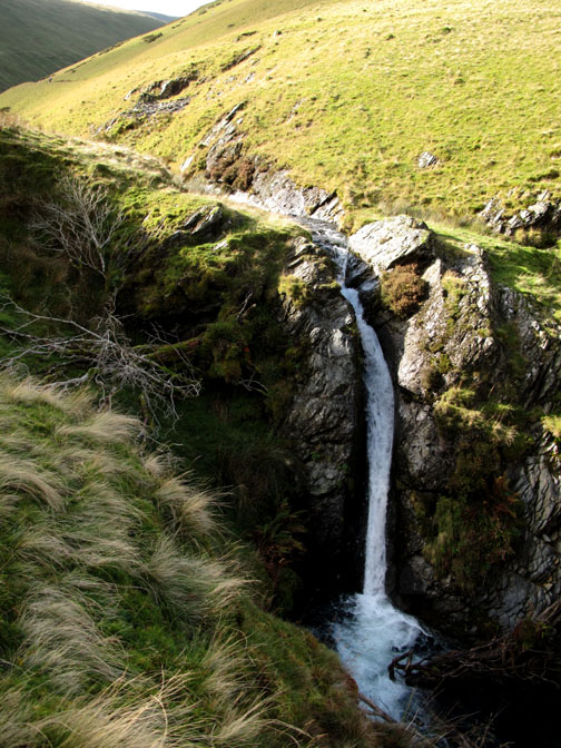
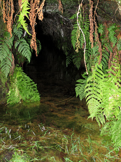
Looking north, back down the path we had just walked. The improved weather and sunshine has added a little vibrant colour at last. - - - o o o - - - At the turn of White Horse Bent the map shows a waterfall, but we've never seem it until today. The falls have formed in a cleft in the rock and face away from the path, so despite the slight roar of the water, nothing is normally seen. I make my way off-route deliberately to find them . . .
The origin of the name "White Horse Bent" is lost in the mystery of time but it may be a derivation of a local feature "White Dog Bend".
On the way back, to say the weather had improved would be an understatement. Sharp Edge as clear as a bell, leads up to Foule Crag and across to Blencathra summit.
Looking down once again into Mousthwaite Comb.
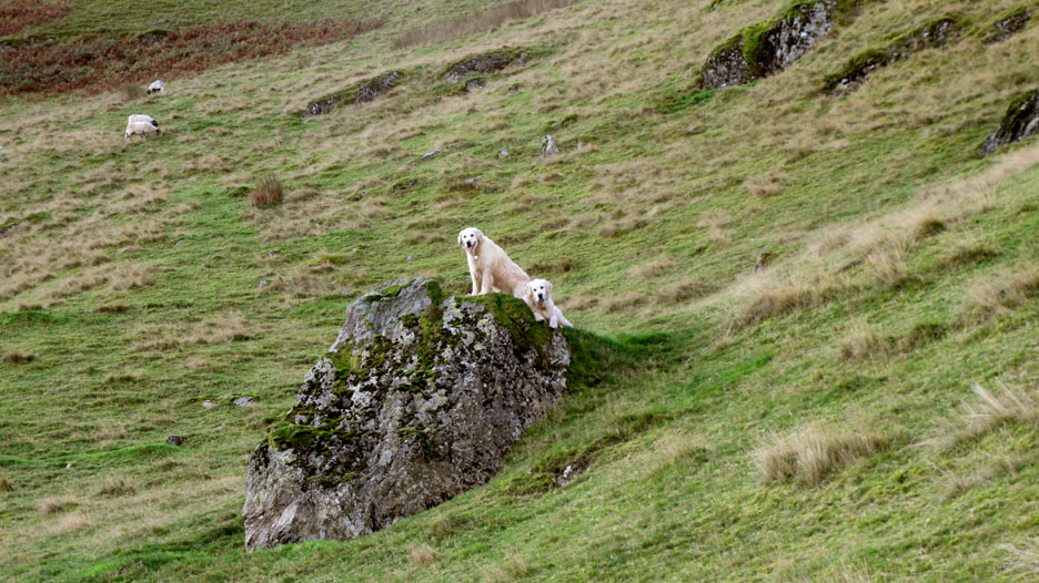
I'm sure there was just one sheep up here last time I passed this way. [ Hold your cursor over the picture to see the rock a year ago]
The two guys ahead of us had diverted across the slope to investigate the top of the scree slope. I followed . . . well it was just a short hope across from that last rock.
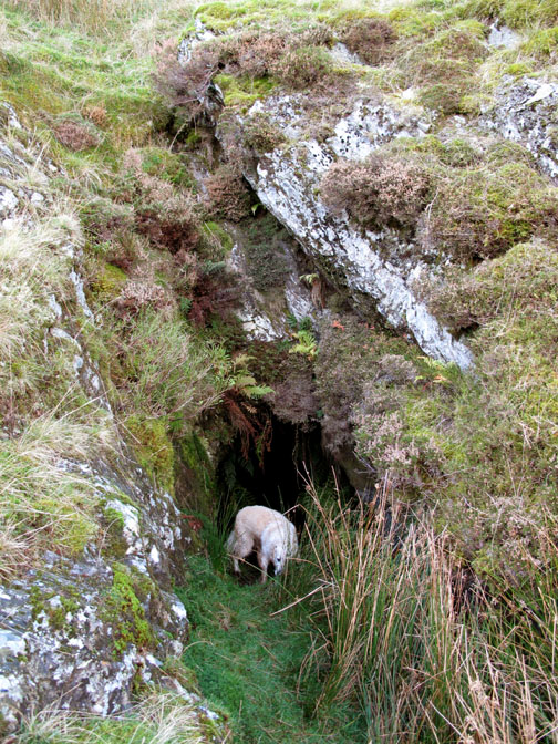
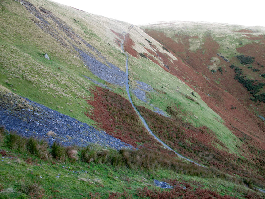
The mines, associated with the workings in the Glendermackin Valley above Scales Beck junction was reputedly on the same lead vein but was never a commercial success. It dates from the 1890's. (John Adams ~ Mines of L D Fells)
The spoil heap extends down, almost to the main path, so I scramble and slide down the wet grass and re-join the girls.
Looks like I'll have to walk a little faster to catch up.
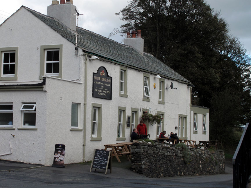
After reaching the car, we drove back towards Keswick to re-join the A66 main road. The White Horse Pub sign still stands out, advertising the pub which closed a while back.
GOOD NEWS . . . it's open again, 11 am to 11pm . . . and serving customers once again. Please give it your support if you're passing. We would have done so ourselves but we are a little short of time as we have another event on our calendar tonight . . . - - - o o o - - - |
Technical note: Pictures taken with either Ann's Canon 75 or my Canon G10 digital camera. Resized in Photoshop, and built up on a Dreamweaver web builder. This site best viewed with . . . tickets to a Ralph McTell concert in Keswick this evening. Go to Top . . . © RmH.2011 . . . Email me here Previous walk - Sat 15th October 2011 Fangs Brow with Jo A previous time up here - 15th March 2009 Souther Fell from the south 'In between' event - 23rd October 2011 A holiday visit to New Zealand Next walk - Saturday 3rd December 2011 Buttermere First Walk Back
|