![]()

Remember: Press F11 for a full
screen view of this page.
|
|
|
Remember: Press F11 for a full
screen view of this page. |
|
" Low Fell with Neil ... on a Misty Day " Date & start time: Thursday 11th August 2011, 4 pm start. Location of Start : Thackthwaite , Cumbria, Uk ( NY 148 236 ) Places visited : Fellbarrow, Smithy Fell, Sourfoot Fell, Low Fell, the Old Pine and back. Walk details : 4.1 mls, 1375 ft of ascent, 2 hrs 15 mins. Highest point : Low Fell 1,387ft ( 423 m ) Walked with : Neil (Haslewood) and the dogs, Harry and Bethan. Weather : Found the best part of a damp day . . . mostly dry but very humid.
|
" Low Fell with Neil ... on a Misty Day " at EveryTrail [ Alter the settings to zoom or change the Map, use Everytrail to download the Gps route ] |
|
A Low Fell walk again (you don't have one for ages then two come along in close succession) but very different weather this time as Neil and I take the dogs for a fast stroll across the tops in what was quite poor weather.
A damp morning with low cloud in the valley meant that there were no fells to be seen. After a sizeable delay, which included morning coffee, wood collecting and lunch we found a dry spell and headed out for a walk. Neil chose the summits as he hadn't been to Low Fell for quite some time.
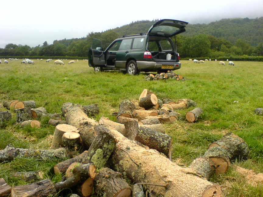
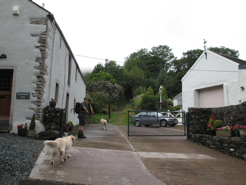
Ann dropped us off at Thackthwaite at the start of the walk which avoided us having to fetch the car later.
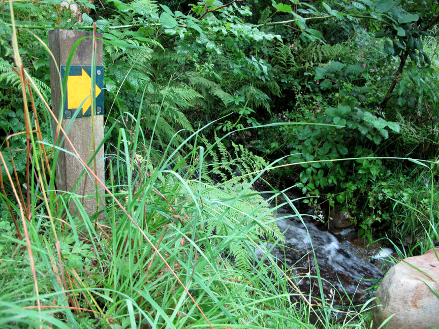
Up the track from the village. The damp weather of the last 24 hours has left everything soaking wet and the streams and tracks carrying excess water.
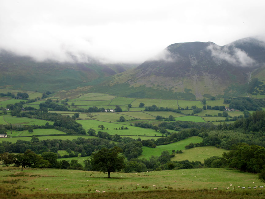
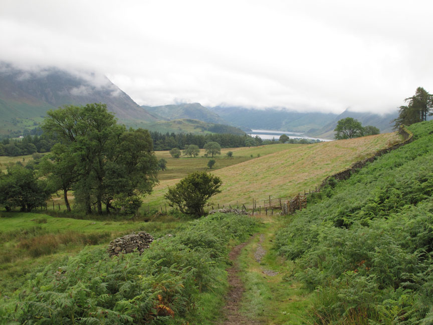
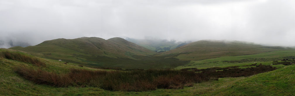
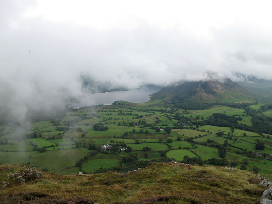
The clouds have lifted compared to this morning as we climb the track and start to get views across the valley. The valley opposite is Hopebeck with Dodd summit the only high ground clear of cloud.
Looking back up the Lorton Valley towards the Loweswater end. Rannerdale Knotts next to Crummock Water is also clear of cloud now.
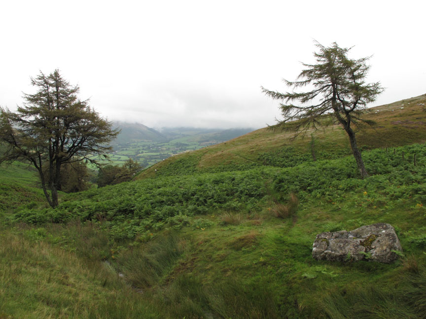
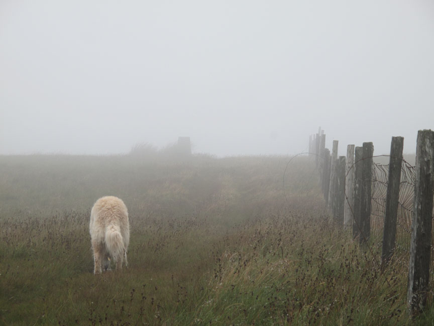
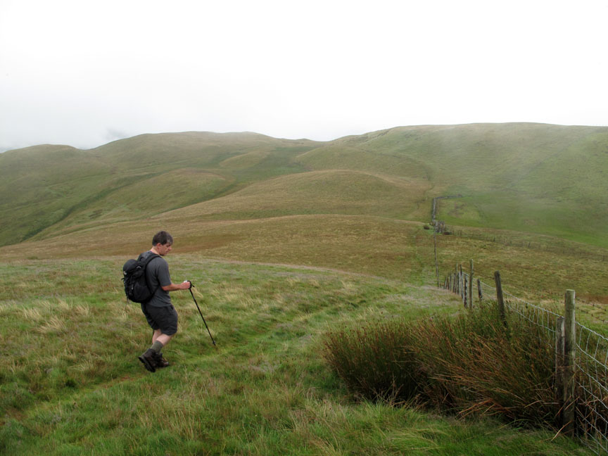
Neil and I decided to add Fellbarrow to the day even though the cloud was down. Here we've left the main path and taken a sheep trod between the larch trees of the Meregill Beck valley.
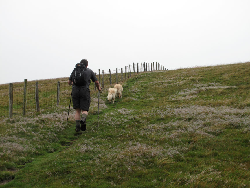
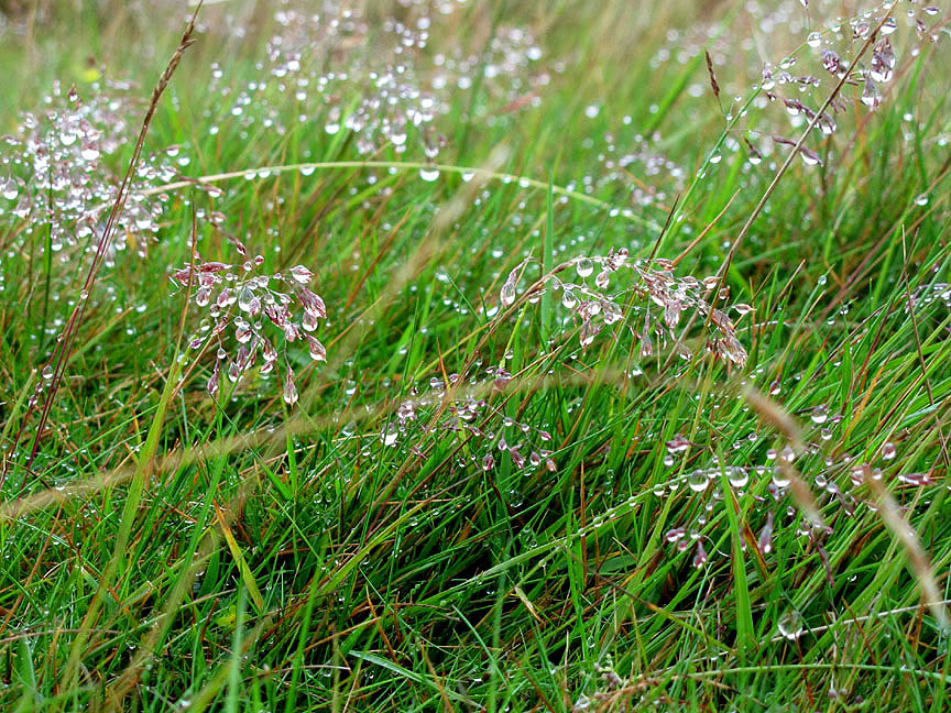
Heading up to Fellbarrow along the fence. The misty weather has left droplets of moisture on the grass and there's no wind to shake it off.
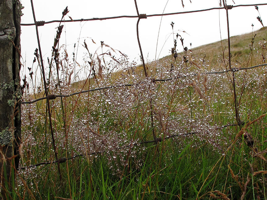
Close up of the fence, the droplets of water on the grass catching the light.
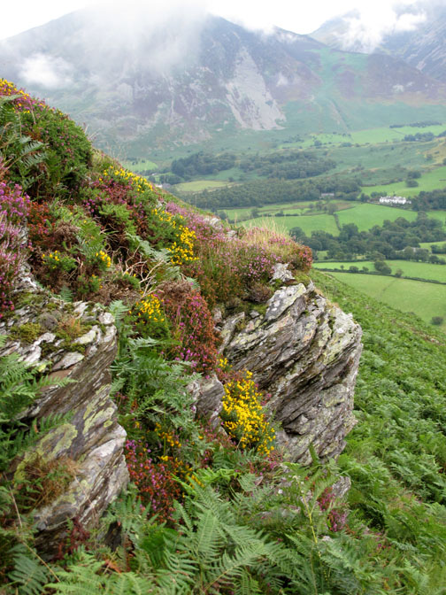
Delicate artwork
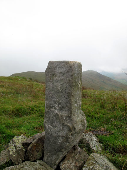
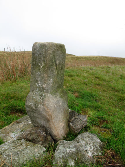
The old fence carries us to the summit, changing sides to reach the summit cairn.
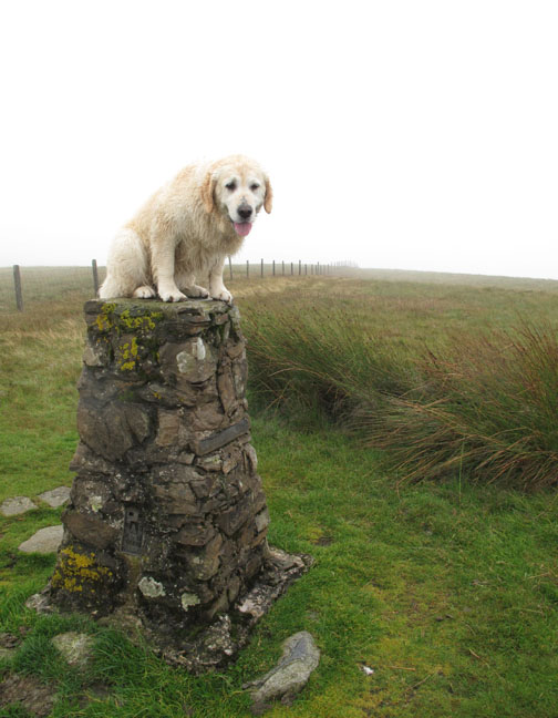
We discourage Harry and Bethan to jump up nowadays since Harry injured his leg last year but they still bark at the trig so I lifted each of them onto the pillar in turn, provided they sat still and waited for me to lift them down again . . . I'm happy . . . the camera's happy . . . and they're happy too !
Sentinels of Smithy Fell on our way back towards the next section of the walk.
From Smithy Fell we walked across to the ridge opposite, which claims the name of Sourfoot Fell.
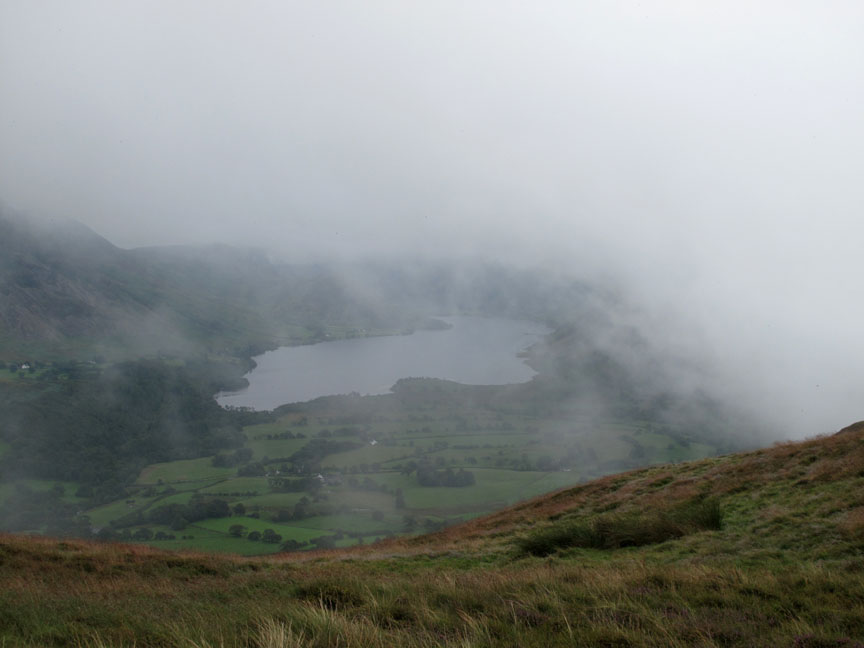
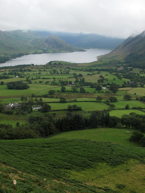
The view from Sourfoot Fell looking south down Crabtree Beck Valley towards the hidden Loweswater lake and fells. Low Fell to the left . . . Darling Fell to the right.
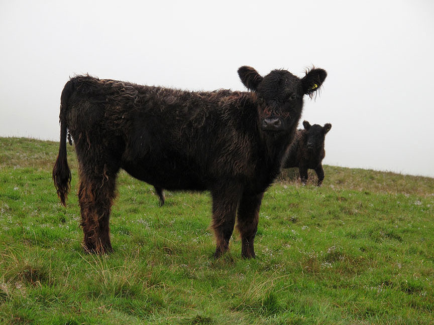
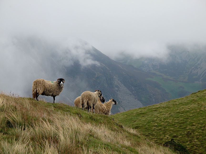
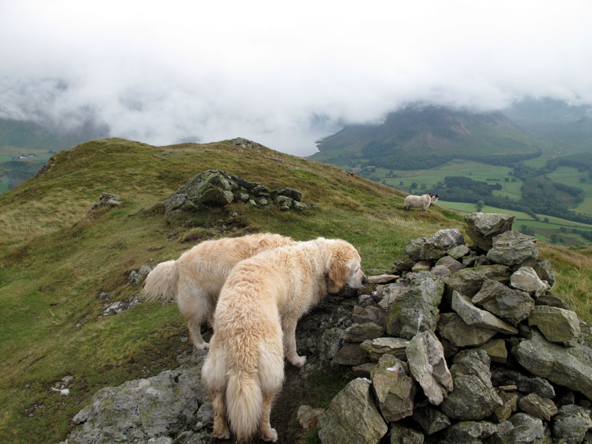
Swaledale Sheep on Low Fell as we walk across to the next summit. Behind them the clouds slowly swirl across the side of Grasmoor and Whiteside.
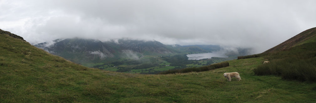
Reaching the edge allows us the first view of Crummock Water since we started the walk at Thackthwaite.
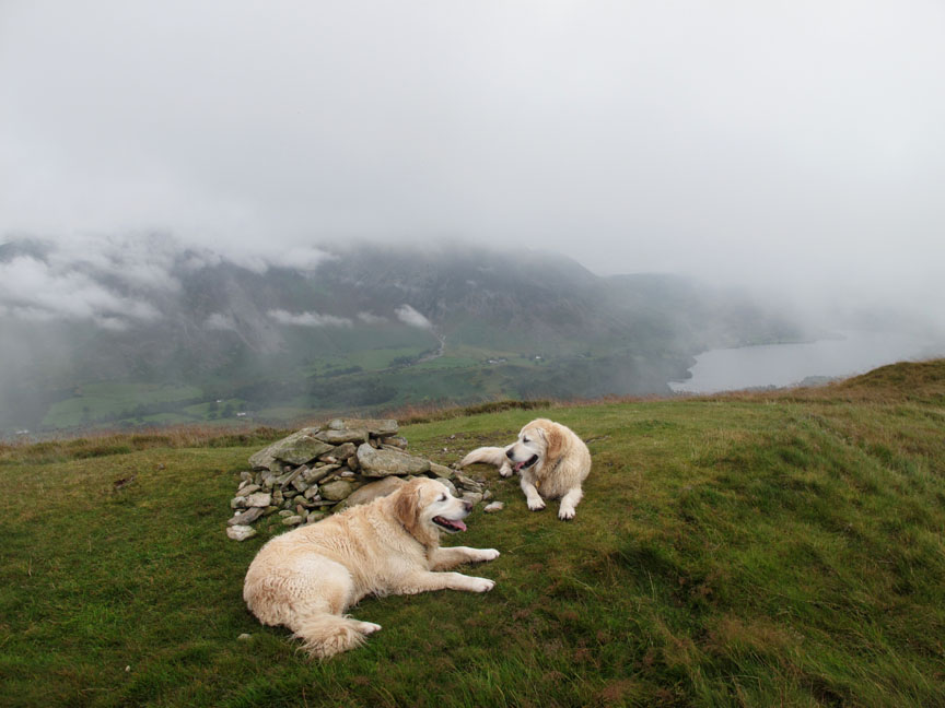
The summit of Low Fell. Not tired . . . just told to sit for this one . . . well at least I know where they are !
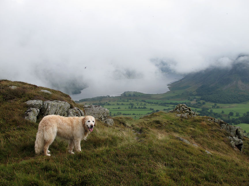
Lovely views as the lake comes and goes between the valley mist. Fine weather gives superb views here . . . but the poor weather also has its compensations.
" We're sure there was a dog treat up here last week."
Bethan makes her way down to the southern viewpoint.
The cloud was lifting nicely . . . we even had a hint of sunshine, seen here over the Loweswater fells.
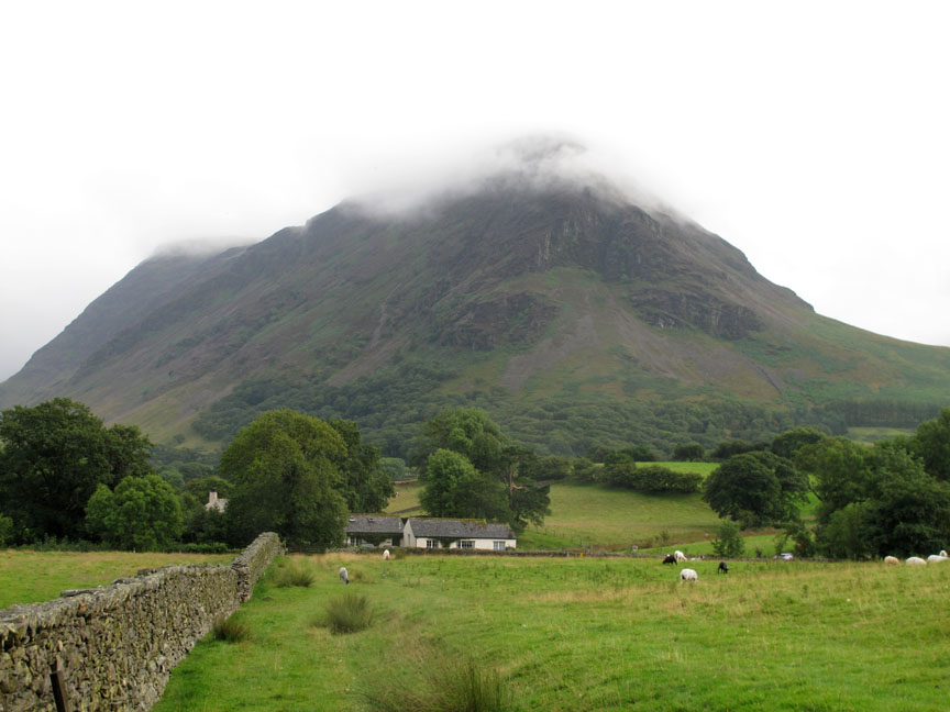
The cottage is down there in front of the lake. Ann either has good eyesight or binoculars as she saw us here on the top of the fell (she told us afterwards).
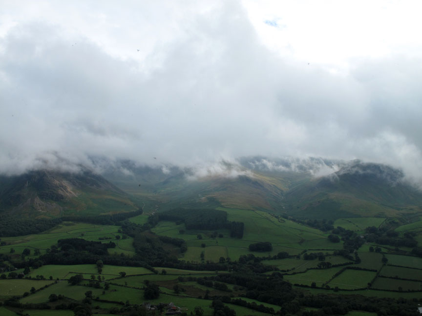
The cloud is still low though it is rising and the valley is now clear. Strangely with the clearer weather it started to rain but not sufficient to bother with waterproofs.
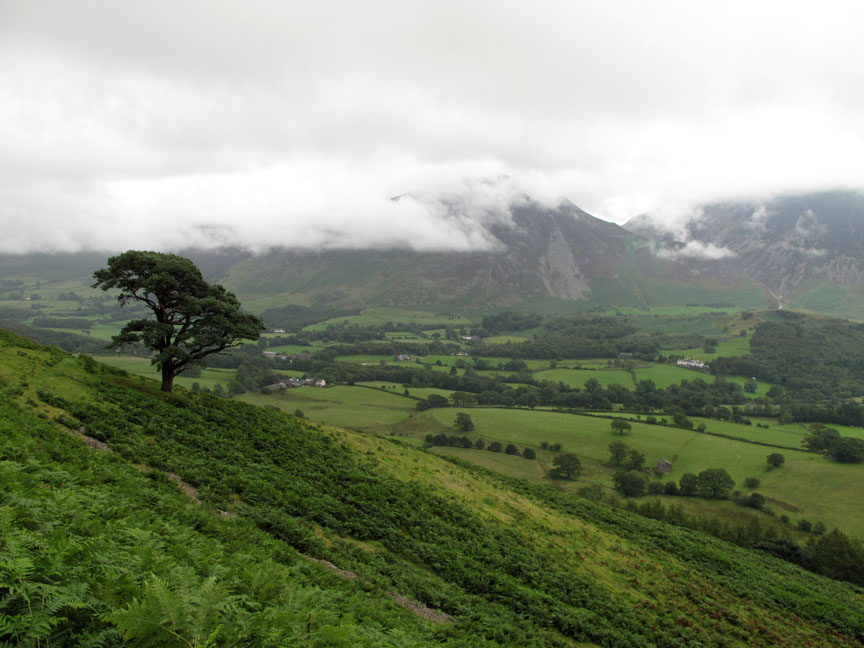
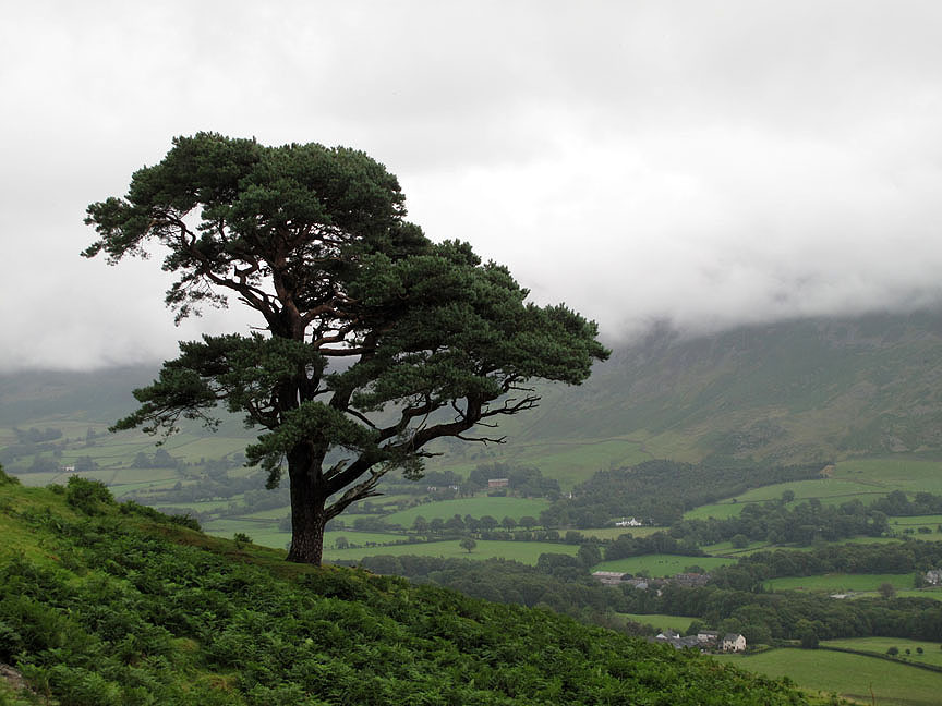
The old Scots Pine looks magnificent in any weather. [ There's a winter picture of it in our new 2012 Calendar on sale now by the way ;o) ]
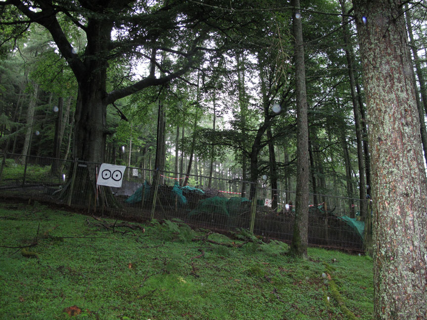
Above the track the caged, pheasant rearing area seems to be in use this year after looking derelict for the last few years. The sheet with the circles is supposed to represent eyes . . . to frighten off the predators of the young birds inside.
A short walk back passed Foulsyke House and cottages, across two fields and we're "home and slightly damp" rather than "home and dry". - - - o o o - - - |
Technical note: Pictures taken with my Canon G10 digital camera. Resized in Photoshop, and built up on a Dreamweaver web builder. This site best viewed with . . . A kettle and teapot while you select a start time. Go to Top . . . © RmH.2011 . . . Email me here Previous walk - 4th August 2011 Langstrath after the rain A previous time up here - Sunday 5th July 2009 Low fell with David Mc Naughton Next walk - 13th August 2011 Wansfell and the Pike
|