![]()

Remember: Press F11 for a full
screen view of this page.
|
|
|
Remember: Press F11 for a full
screen view of this page. |
|
" The Hopegill Valley and Dodd " Date & start time: Tuesday 28th June 2011, 4.50 pm start. Location of Start : The gated road, Swinside, Cumbria, Uk ( NY 168 242 ) Places visited : Hopegill Valley and up onto Dodd, an outlier of the Whiteside Ridge. Walk details : 2.5 mls, 950 ft of ascent, 2 hrs 15 mins. Highest point : Dodd, 1475 ft - 454 m. Walked with : Ann and the dogs, Harry and Bethan. Weather : Late afternoon . . . with classic late afternoon Summer sunshine.
|
" The Hopegill Valley and Dodd " at EveryTrail [ Alter the settings to zoom or change the Map, use Everytrail to download the Gps route ] |
|
It has been a lovely spell of fine weather, better than forecast, so today we took the car a short distance to the Hopegill Valley which sits on the northern side of Hopegill Head. Adding a minor summit to the walk just adds to the enjoyment.
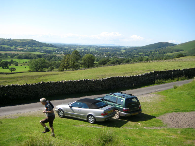
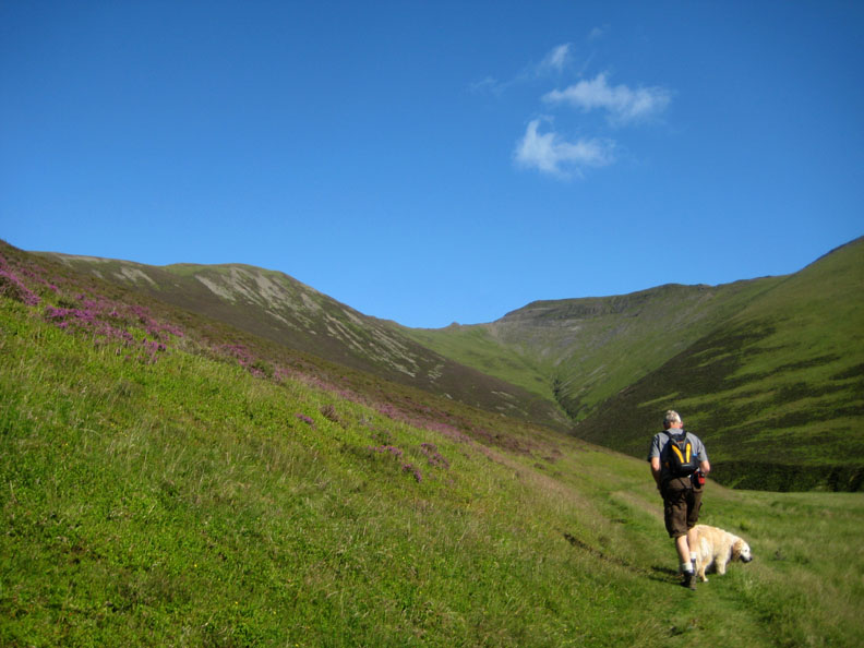
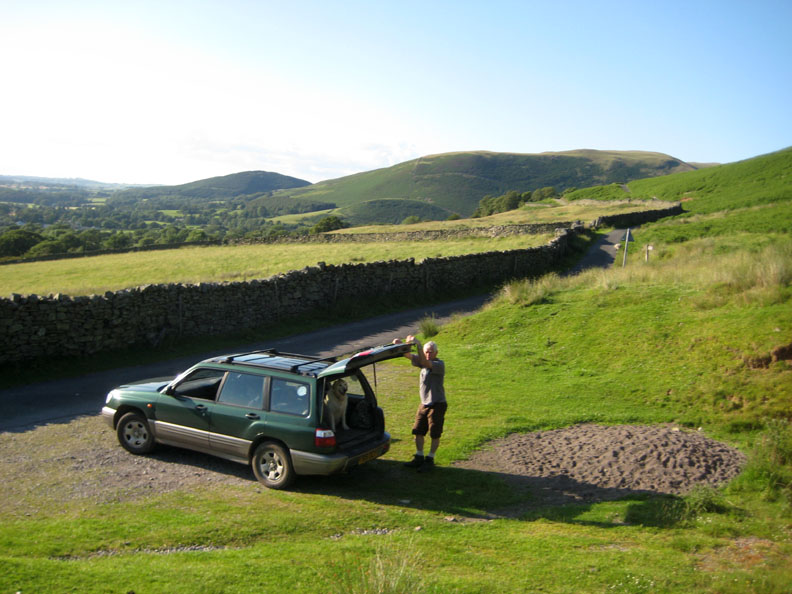
We are not alone ! There's someone else in the valley . . . so we parked our car next to theirs near the top Swinside road. [ As it turned out it was a couple from Crosby on the coast who we had met here several times before.] I seem rather keen to get going !
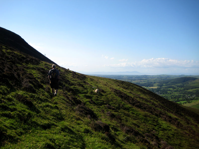
Immediately you leave the car park you climb up alongside the intake wall. From the start, the views up the Lorton Valley are very good.
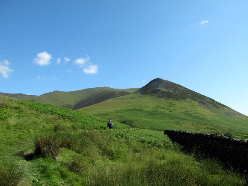
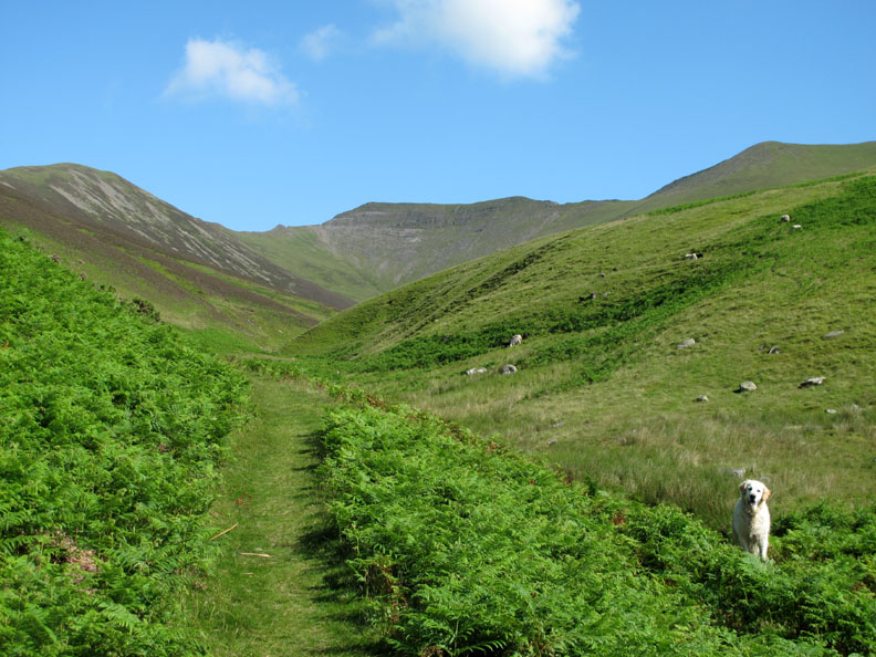
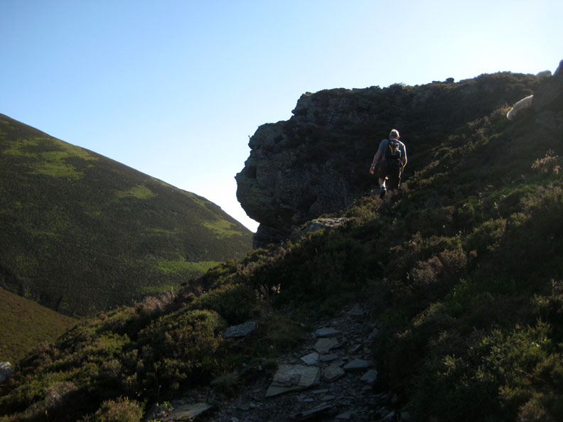
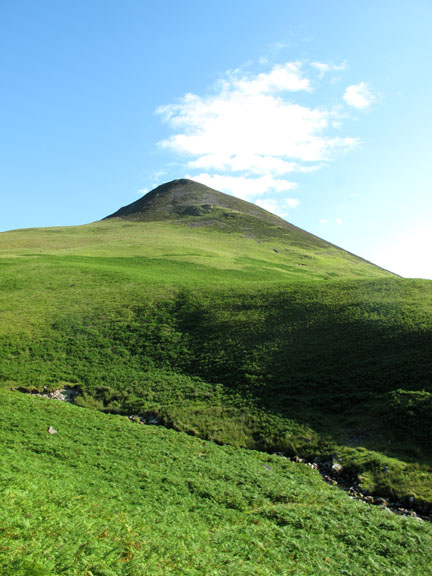
Ahead the fine little outlier of Dodd which sits proud on the side of the Whiteside Ridge, which itself leads west from Hopegill Head.
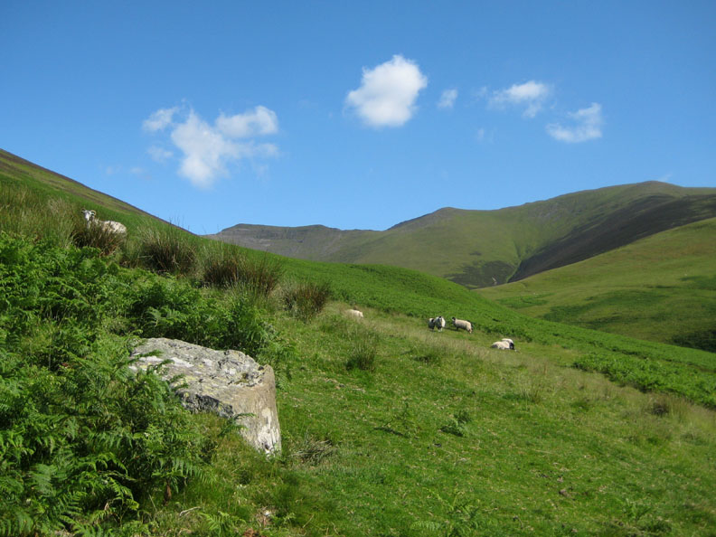
Not so many sheep up here this year but those that were were used to good photographic effect.
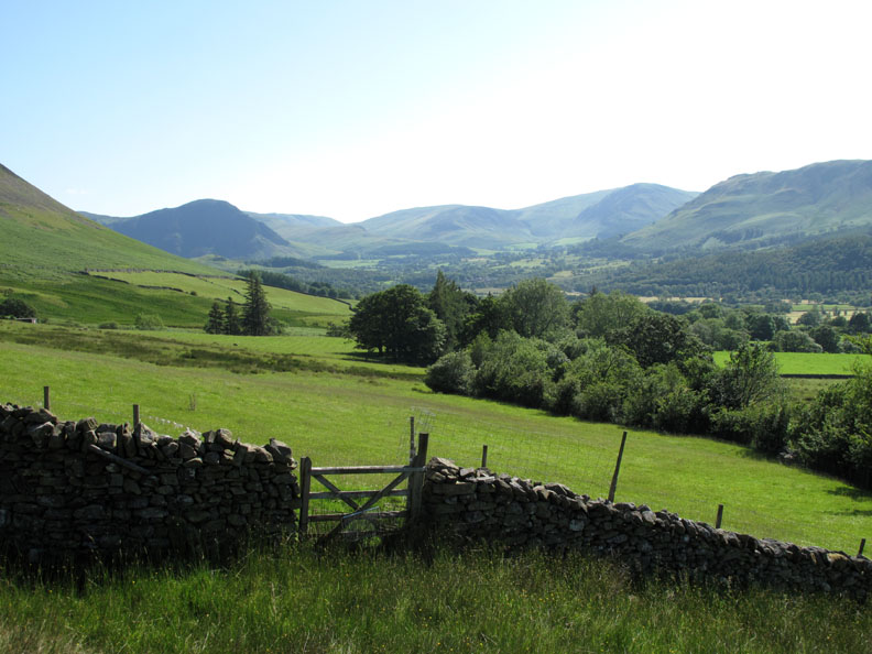
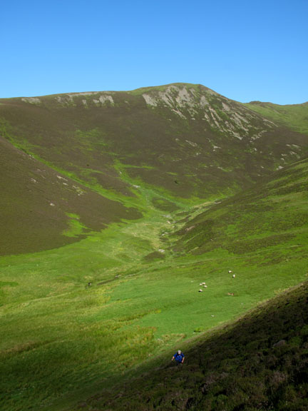
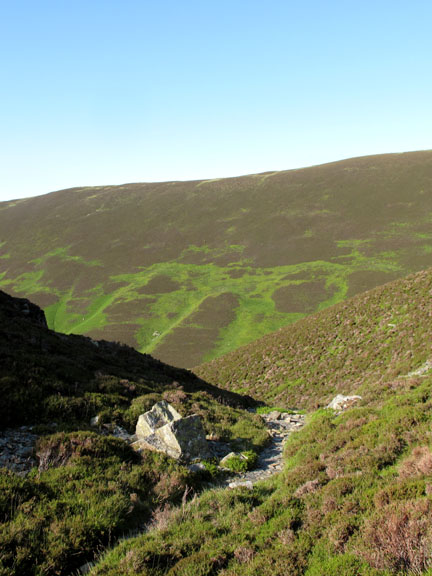
As we round the flanks of Swinside we enter the Hopegill Valley and see the distinctive table mountain outline of Hopegill Head before us.
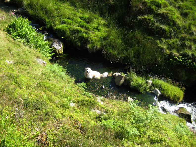
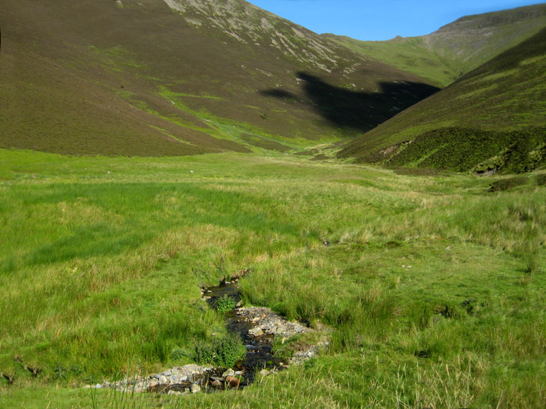
Down below is Hope Beck. Should we call this the Hope Beck Valley or follow the map and call it the Hope Gill Valley ?
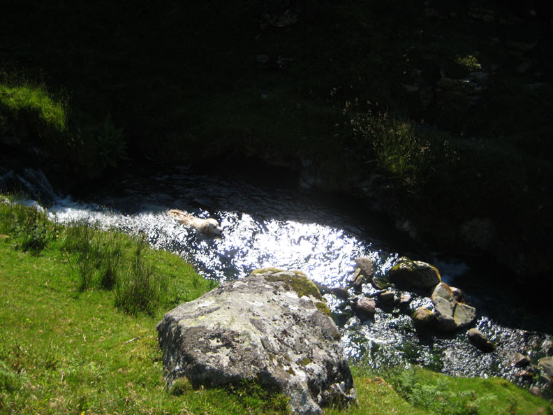
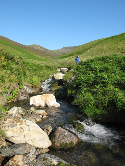
Which ever way, Harry was certainly 'hope-ing' for a swim . . . not for me though as the water was too cold and the pools too small.
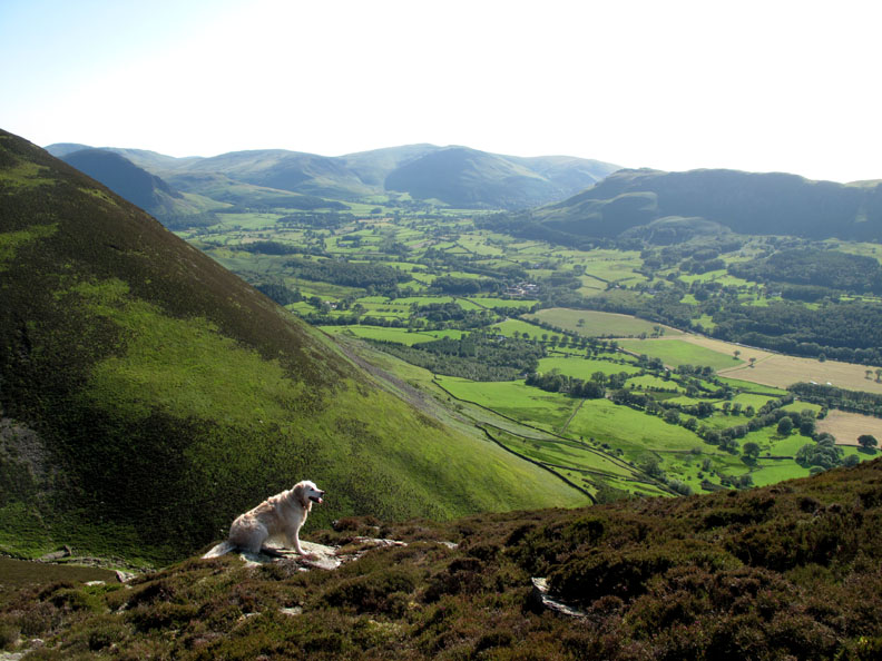
Looking north over Lorton Valley and across the Solway to Criffel in Scotland.
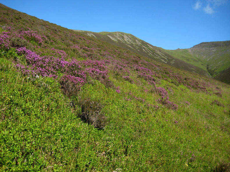
This walk really allows you to pick out the bands of vegetation as they change. Lower down we started in bracken, here are some low lying bilberry plants but it soon gives way to heather.
Higher up the plants are still a way from flowering but down this low in the valley the first of the purple heather is starting to bloom.
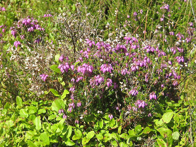
A real mixture of plants here at the margin of the heather band.
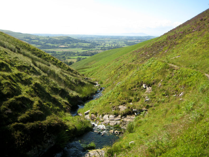
Crossing the beck.
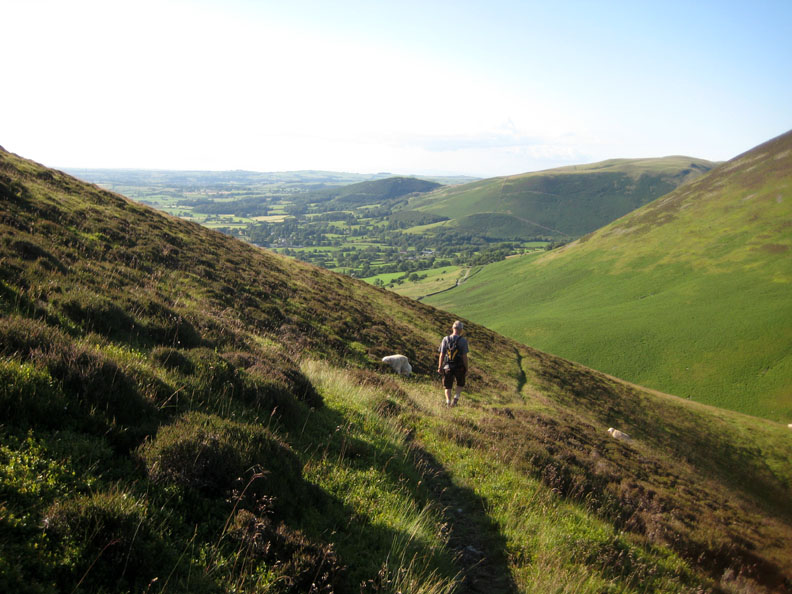
A gradual climb with a lovely view straight ahead as we rounded the fell.
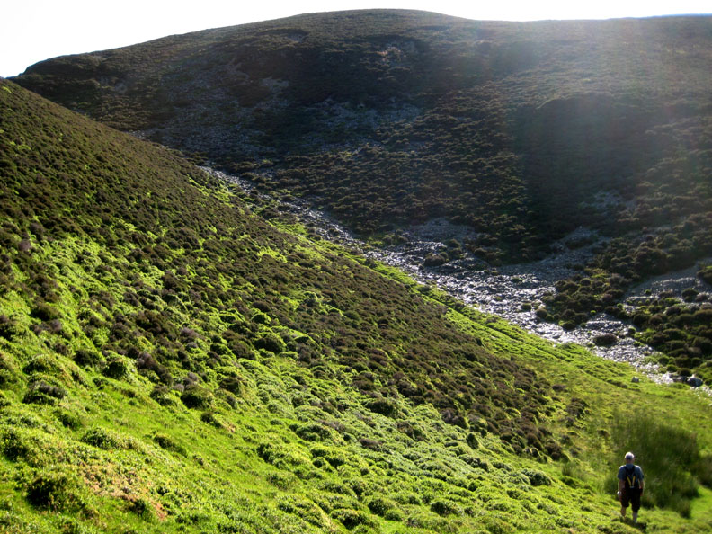
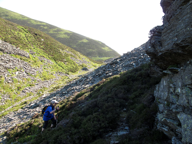
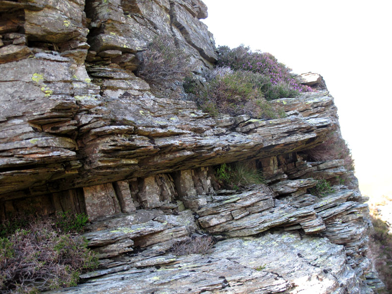
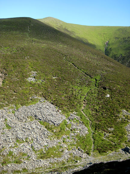
Having climbed a little too high it was easier to drop down slightly rather than get involved in all that tussock and heather. Dodd has an abundance of rock breaking through to the surface on this inner edge and we follow the short, dry valley upward.
I'm thinking "glacial overflow channel" here causing the cliff which faces backwards towards the high ridge of Whiteside. Maybe it is just an intrusion of harder shales, compared to the rest of the the Whiteside ridge and it hasn't eroded as quickly.
Could this be an intrusion on an intrusion ? An interesting six inch layer of strata, the joint plains of which runs at right angles to the rock on either side.
Neolithic Man . . . and a modern man walking close by. Can you see the ancient head in the rock ?
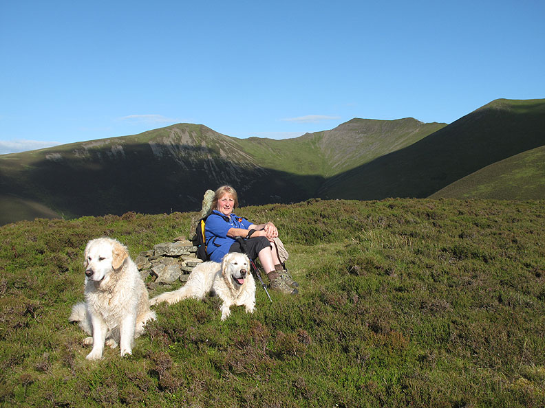
Bethan chooses a flat stone to enjoy the view over Loweswater and Brackenclose.
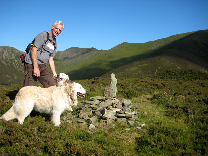
Although not the highest point on the summit of Dodd, this cairn has the better view and qualifies for the larger cairn.
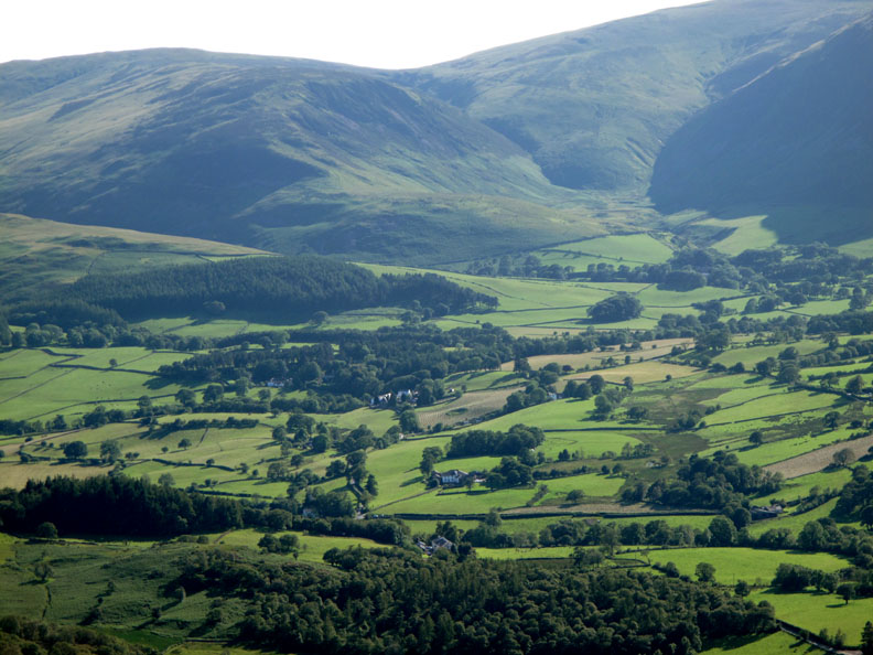
Zooming in on the centre of the Loweswatercam world . . . our cottage plus the other houses and the pub, seen across the top of the Scale Hill woods !
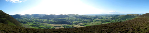
Taking in the wider view of the valley . . . . Click here or on the photo above for a Loweswatercam 180 degree annotated panorama.
Ann seems to have sat down to enjoy the view to the full, while I was slaving away taking the panorama shot.
There's a reasonable path down which traverses the side of the fell.
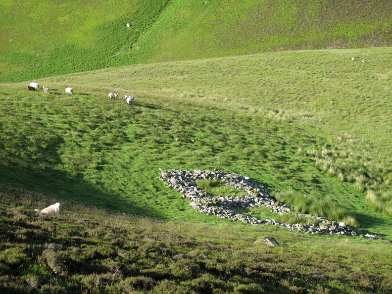
An old sheepfold , the walls of which are now no more than a foot high.
Our upward track can be seen on the other side of the beck so there's one last drop down and a stream crossing point to find before we rejoin it.
One last dog and I can shut the back of the car.
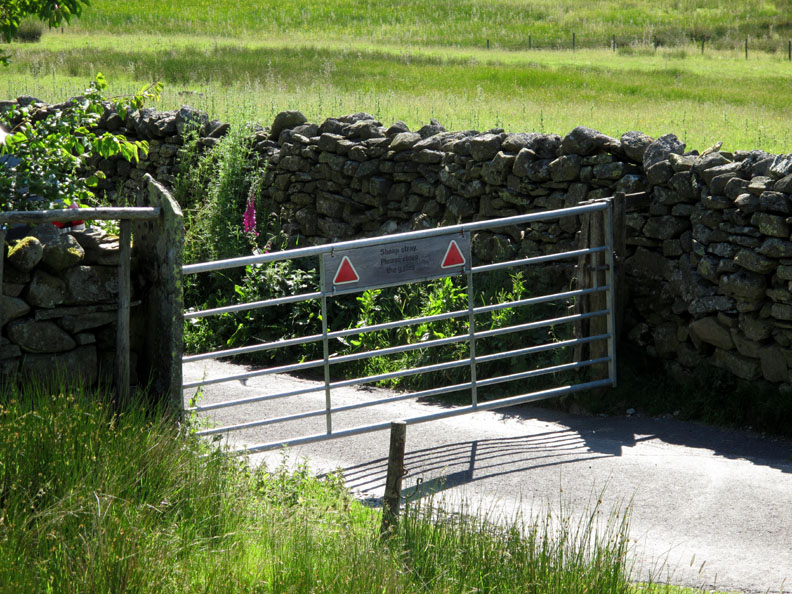
Last one out . . . shut the gate . . . no need to turn out the light. The sky dims automatically . . . but it's not really dark till about midnight at the moment.
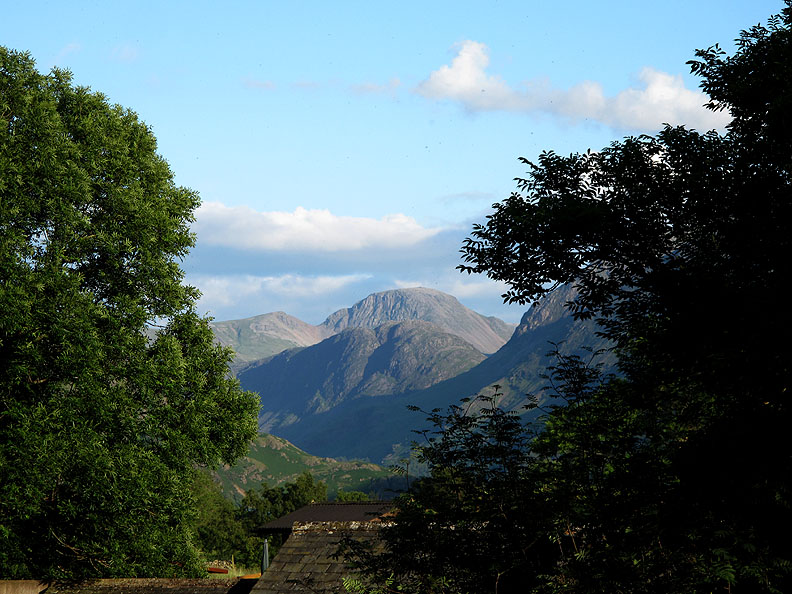
7.40 pm, back home and the sun still has a couple of hours before it sets. We can enjoy the clear air and the lovely view up the valley towards Haystacks and Great Gable for a while longer yet. - - - o o o - - - |
Technical note: Pictures taken with either Ann's Canon 75 or my Canon G10 digital camera. Resized in Photoshop, and built up on a Dreamweaver web builder. This site best viewed with . . . long, sunny summer evenings. Go to Top . . . © RmH.2011 . . . Email me here Previous walk - 23rd June 2011 Hen Comb and Mellbreak A previous time up here - 24th May 2008 Five go to Hopegill Head Next walk - 2nd July 2011 High Spy via Nitting Haws
|