![]()

Remember: Press F11 for a full
screen view of this page.
|
|
|
Remember: Press F11 for a full
screen view of this page. |
|
" A walk in Limestone country ~ Scout Scar " Date & start time: Thursday 16th June 2011, 3 pm start. Location of Start : The Cunswick / Scout Scar car park, Kendal, Cumbria, Uk ( SD 488 924 ) Places visited : The Mushroom, Scout Scar escarpment, Hodgson's Leap and the trig point. Walk details : 2.4 mls, 325 ft of ascent, 1 hr 35 mins. Highest point : Scout Scar 764 ft - 235m. Walked with : Ann and the dogs, Harry and Bethan. Weather : Sunny but the strong breeze was still present, especially close to the edges.
|
" A walk in Limestone country ~ Scout Scar " at EveryTrail [ Alter the settings to zoom or change the Map, use Everytrail to download the Gps route ] |
|
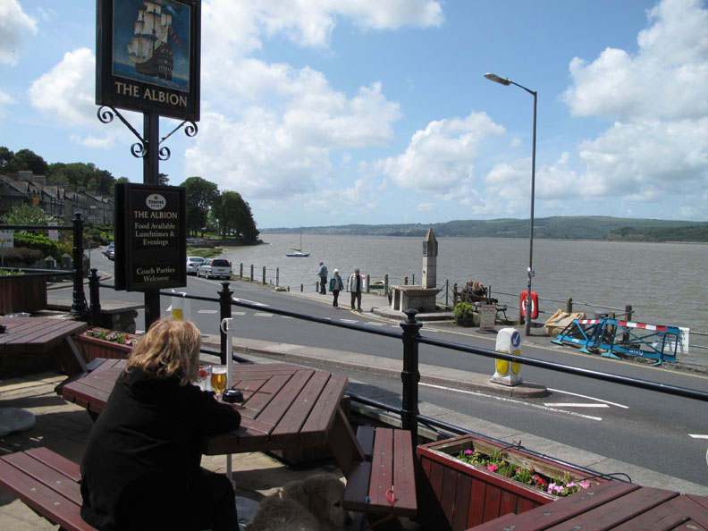
Where were we . . . Oh yes . . . we had just finished an enjoyable lunch at The Albion overlooking the estuary of the River Kent. The tide had turned as we finished lunch so we headed north in the car through the village of Levens towards Scout Scar.
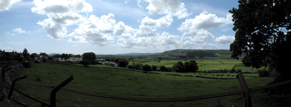
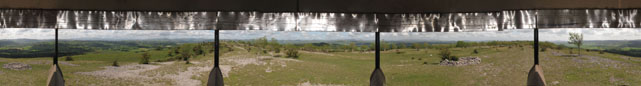
"Leaving Levens" . . . not on a jet plane but by road . . . we looked back and virtually saw our recent Balloon Flight in one panorama. In May we had taken off in our balloon from Levens Hall to the left of this picture and crossed the skies above the Lyth Valley landing behind the trees to the right, in the Winster Valley, on the other side of Whitbarrow Scar.
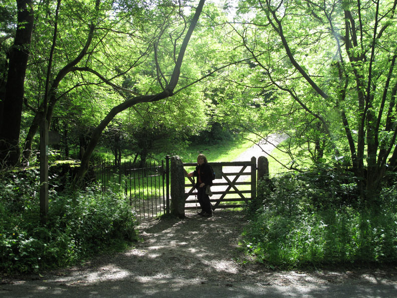
Today we had our feet firmly on the ground and had decided to climb Scout Scar, one of the southern limestone escarpments of Cumbria.
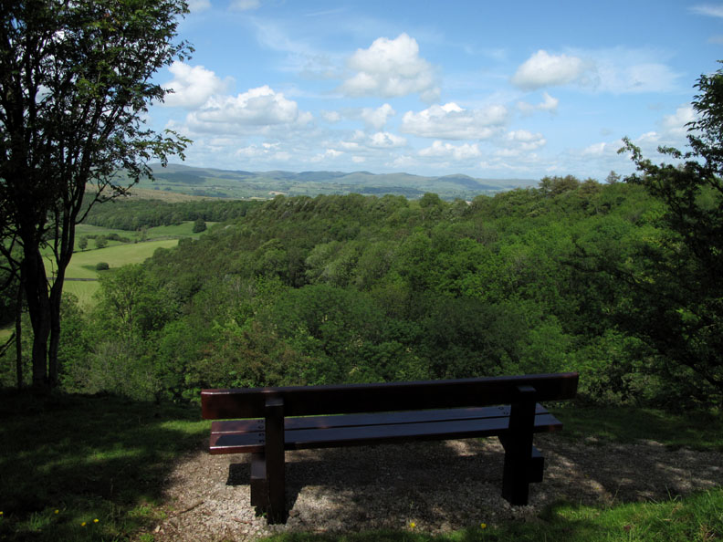
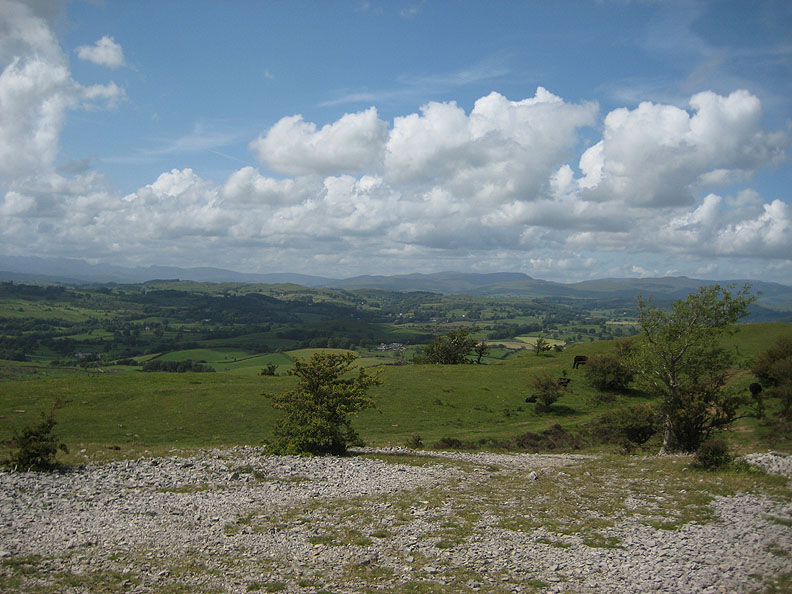
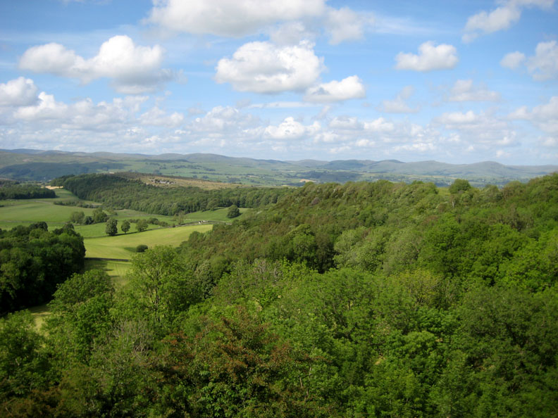
The view from a seat as you leave the trees behind and start to emerge onto the limestone plateau. The distant views include the fells beyond Kendal, towards Long Sleddale and the Winash area of the far south-eastern Lakes.
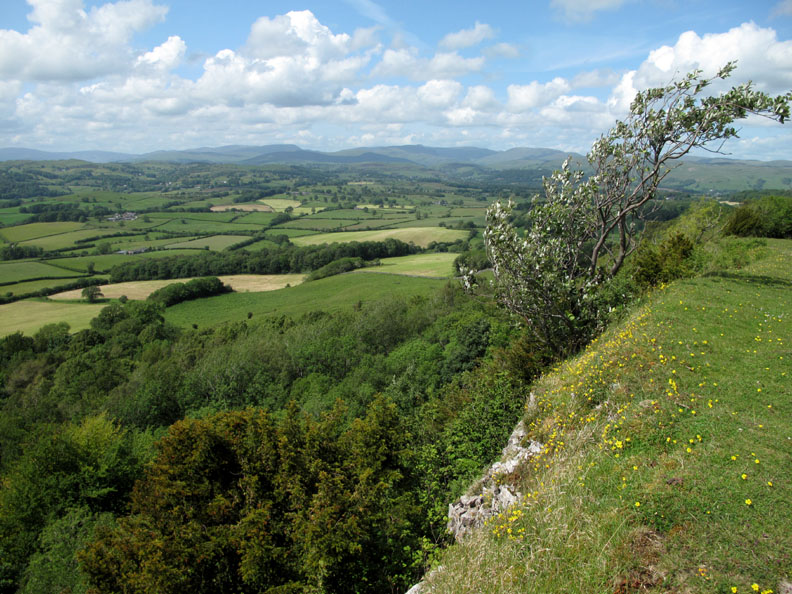
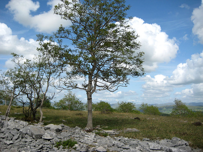
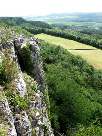
Scout Scar features a limestone escarpment which rises gently on its eastern side but has a steep drop-off to the west. The prevailing south westerly winds have shaped this tree, encouraging its branches to grow up and over the cliff edge.
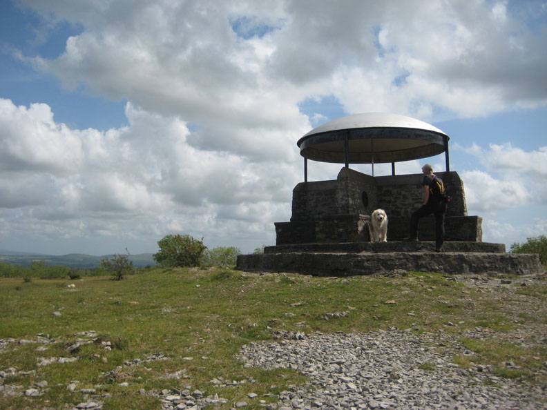
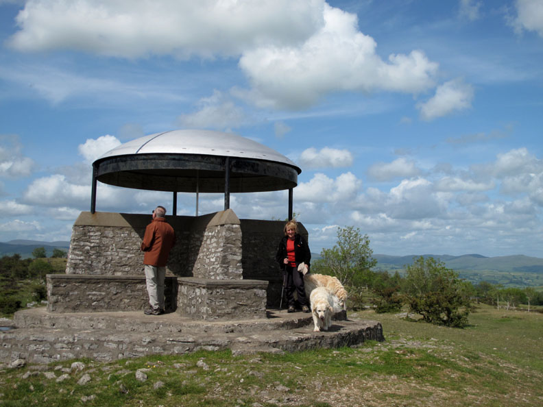
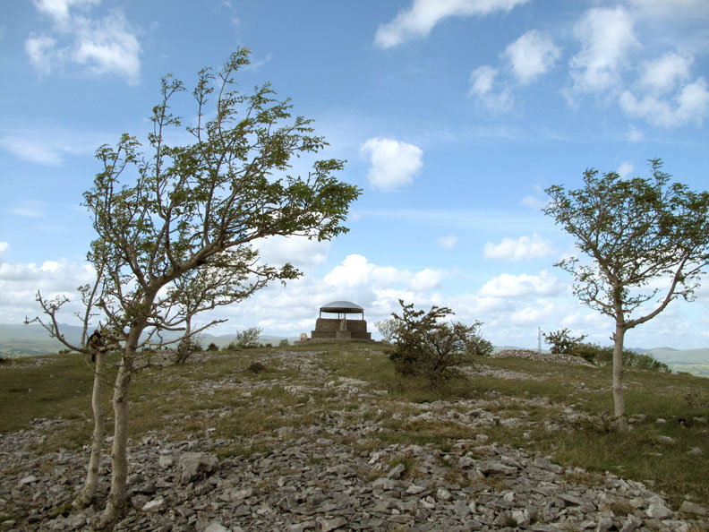
Near the summit of the fell is the restored viewpoint seat, known locally as The Mushroom. [ Hold your cursor over the picture to see the information plaque attached to the stonework.]
Ann was not alone . . . another gentleman was also up at the seat. He was reading the information board that was positioned within the dome. The small half step up seen here on the southern side was put in at the request of the late Harry Griffin, to help older folk (he was in his 90's) to climb up onto the plinth and therefore enable them to enjoy the extensive views to the full.
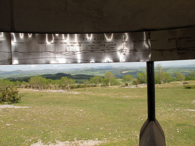
A full 360 degree signboard offers the names of all the fells and various features that you can see from the Mushroom.
Click here or on the photo above for a Loweswatercam 360 degree annotated panorama.
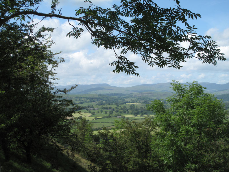
The view north from the Mushroom includes distant Red Screes and Fairfield. On the ground at our feet the exposed stones remind us that the local geology here is limestone not slate.
As we walk along the summit ridge we pass these Ash trees. The well drained nature of the soil and the dry weather of Spring has left them looking a little like Australian Gum Trees. Small leaves, some slightly withered in the dry wind and with bark that was more silvery than brown.
Looking back as we walk south we can see the Mushroom commanding the high ground.
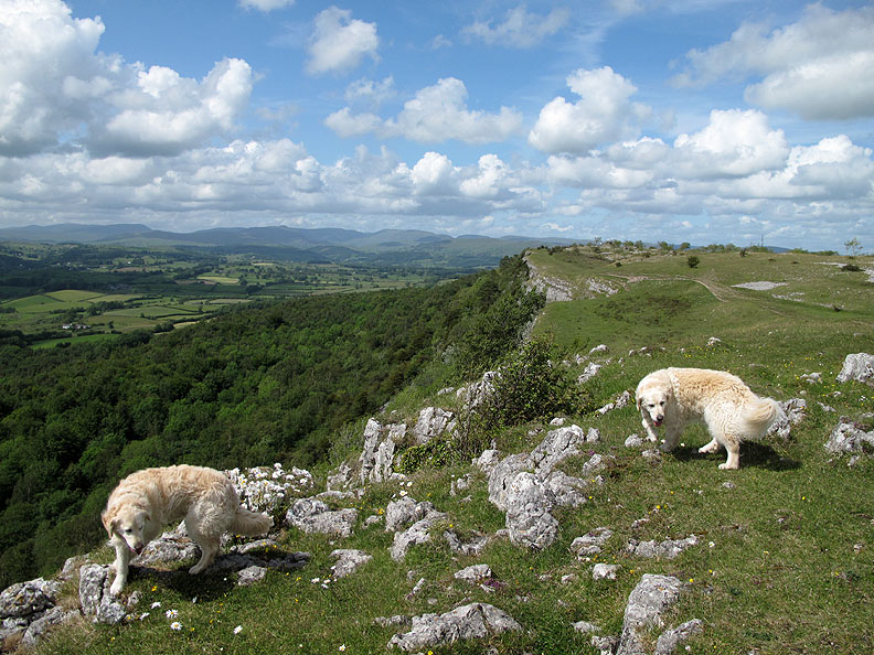
Wind blown dogs on the edge of the escarpment.
Legend has it that a certain Mr Hodgson, in a drunken moment, bet he could ride his horse down the steep edge of Scout Scar. He blindfolded his horse, which meant that both had no idea of what they were letting themselves in for, and sadly neither survived. ( Thanks to Dave Brown for the story.)
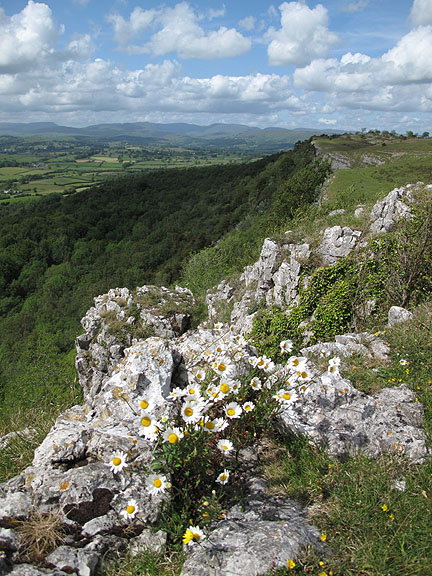
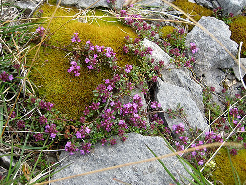
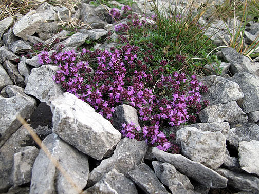
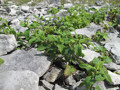
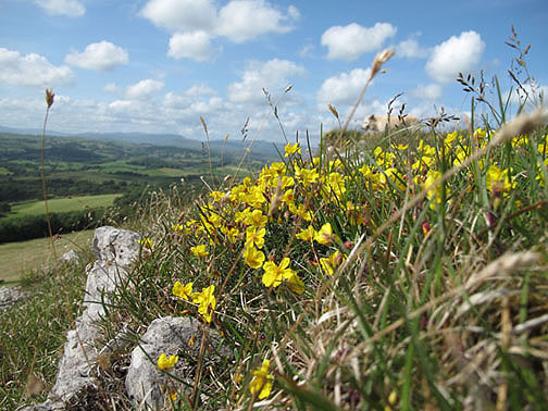
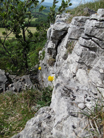
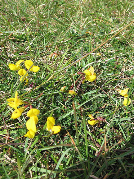
[ You may gather that flowers are not my strong point !]
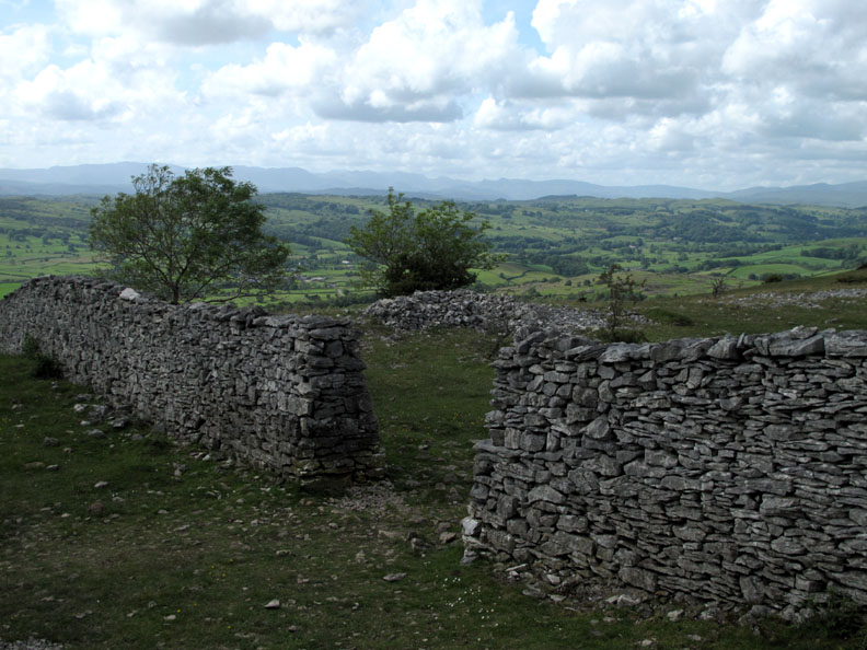
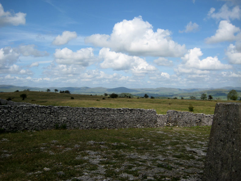
The walls here are different too as they are constructed of limestone rocks which have a subtly different colour and shape to the stone in the Northern Lakes area.
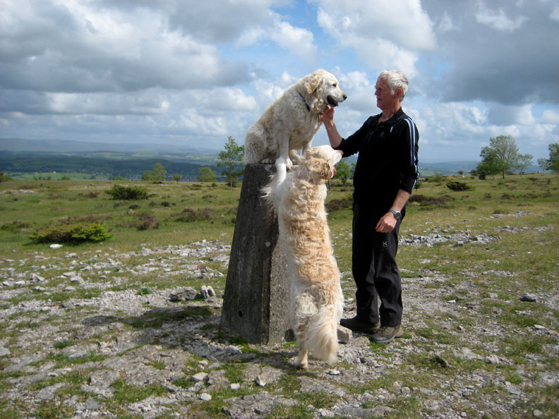
With the sun emerging from behind a high cloud we reach the trig point and have a clear view to the north-east again.
I cheated on this one as I didn't want Harry to jump up onto or down from the trig point due to the problems he had with his leg last year. A helping hand was on offer to allow him to reach his high perch.
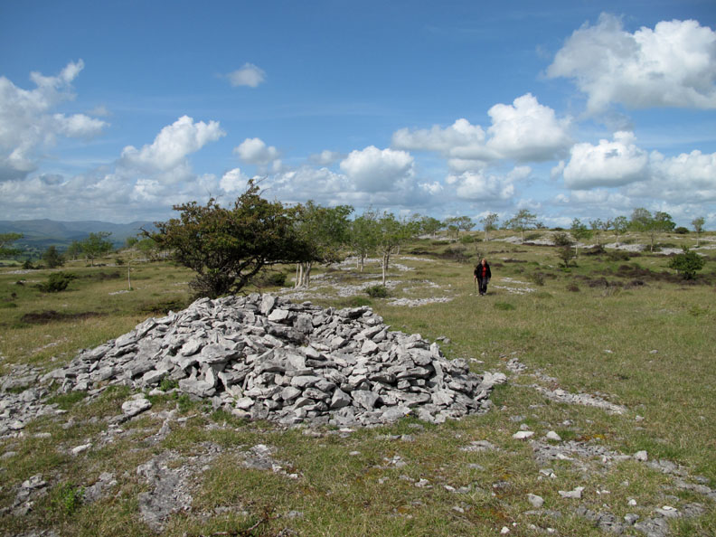
Walking slightly further south we get to a place described on the map as a "Pile of Stones". They're not wrong with that description then !
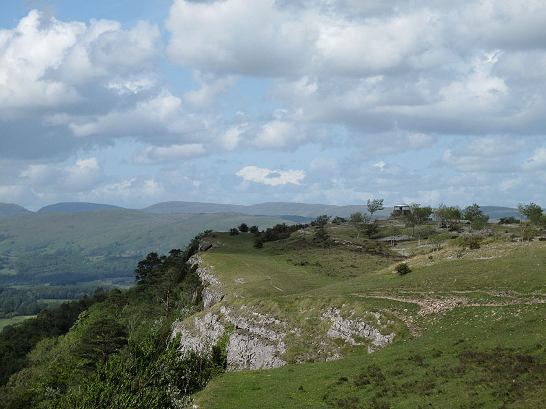
Overlooking Barrowfield Woods, as we start to make our walk back to the car.
The Mushroom naturally draws you to itself even though we had visited it once already a short while ago.
Our view north once again before we drop down into the trees at the end of a slightly shorter but no less delightful a walk. - - - o o o - - - |
||||||||||||||||||||||||||
Technical note: Pictures taken with either Ann's Canon 75 or my Canon G10 digital camera. Resized in Photoshop, and built up on a Dreamweaver web builder. This site best viewed with . . . the chance to see from the ground what we had seen from the air. Go to Top . . . © RmH.2011 . . . Email me here Previous walk - 16th June 2011 (am) Morecambe Bay and Arnside A previous time up here - 4th May 2011 A Big Balloon Flight over South Cumbria Next walk - 20th June 2011 Buttermere Round The Lake
|