![]()

Remember: Press F11 for a full
screen view of this page.
|
|
|
Remember: Press F11 for a full
screen view of this page. |
|
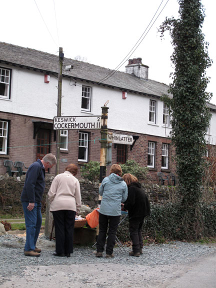
" Meal Fell and The Knott " Date & start time: Sat 26th March 2011, 11 am start. ( NY 252 339 ) Location of Start : Roadside south of Orthwaite, Bassenthwaite, Cumbria, Uk Places visited : Brockle Crags, Great Cockup, Meal Fell, Little and Great Sca Fell, Knott, Burn Tod, and back via Burn Tod Gill and Brockle Crags again. Walk details : 8.3 mls, 2250 ft of ascent, 6 hrs 5 mins. Highest point : The Knott, 2,329ft - 710m Walked with : Ian, Jo, John, Ann and the dogs, Jodie, Polly, Harry and Bethan. Weather : Sunshine, blue skies but large white clouds and hazy with a cool easterly breeze.
|
Meal Fell and The Knott at EveryTrail [ Alter the settings to zoom or change the Map, use Everytrail to download the Gps route ] |
|
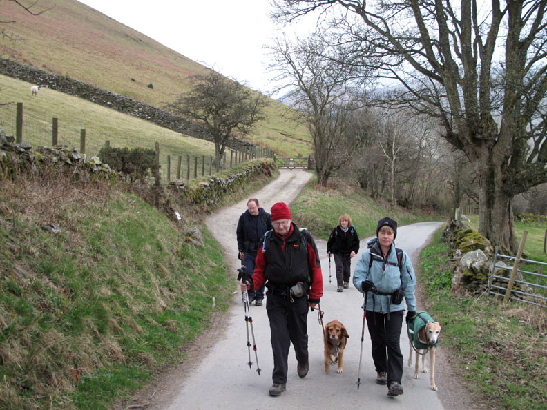
Sherran and Bill were to join us on this outing on the Back o'Skidaw fells but a last minute decision saw just five of us out for this walk. Still it was 'dinner for seven' by the end of the day after we enjoyed a walk in the late March sunshine.
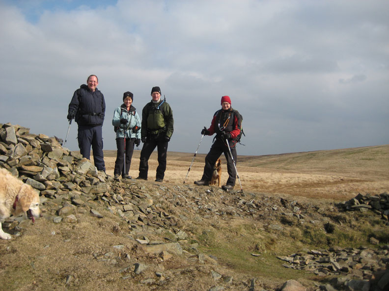
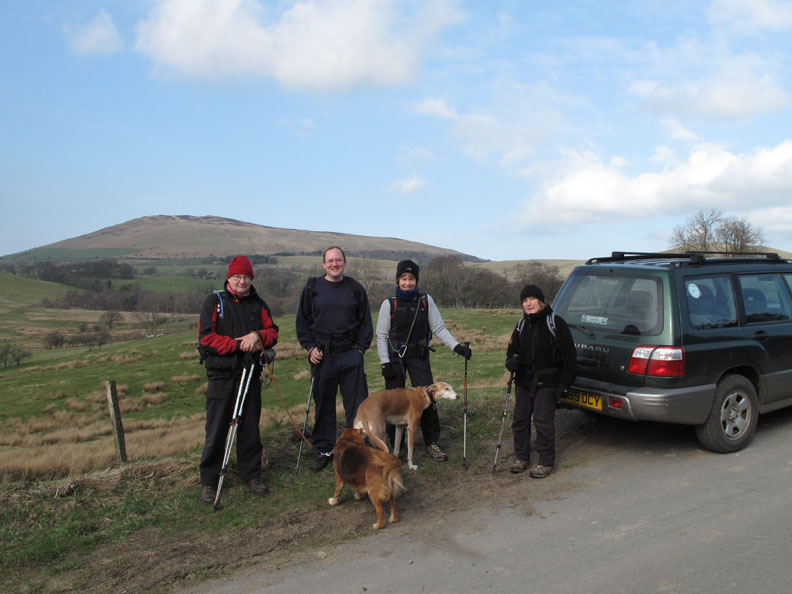
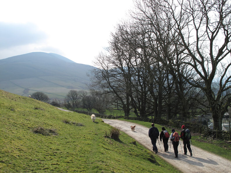
John, Ian, Jo and Ann . . . dressed and ready to go. The weather was confusing . . . after a warm few days the sunshine belies the cool breeze, hence the hats and gloves.
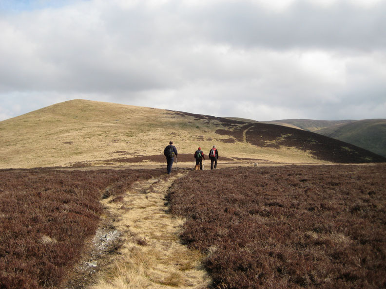
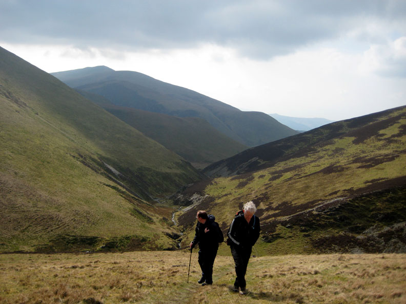
John, Ian, Jo and Ann . . . walking the track !
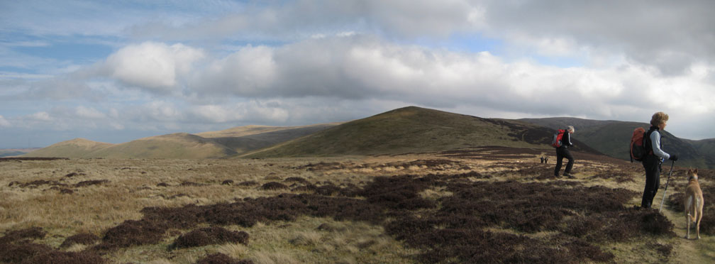
John, Ian, Jo and Ann . . . towards Brockle Crags . . . the grass covered triangular outcrop on the fellside ahead.
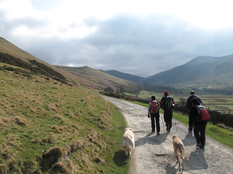
John, Ian, Jo and Ann . . . but you know that already ! May I introduce Binsey in the background.
Blue skies and fluffy clouds at this time as we divert to the summit of the first of the two Brockle Crag outcrops.
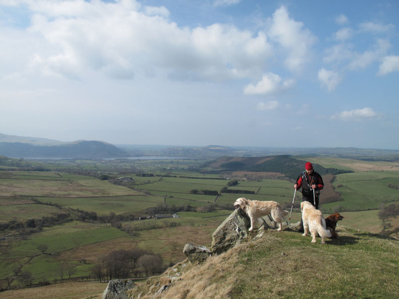
John taking centre stage with our two and Polly.
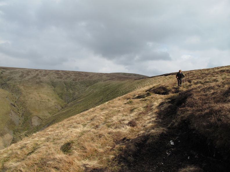
John, Ian, Jo and Ann . . . oh no . . . not again ! From Brockle there's a clear footpath up onto Great Cockup which takes you up past this prominent erratic boulder.
A short hop up to the minor cairn on the first part of the ridge towards the summit. In the distance, a hazy view of Dash Falls, the summit of Bakestall and the northern end of the Skiddaw summit ridge
A sunken grouse butt is so obvious that you think you've reached the summit. The triangular peak in the distance, also seen in the last photo, is Lonscale Fell.
However, the summit of Great Cockup is further on, at the top of the next rise. This could mean this is Little Cockup . . . but no that name is written across an outcrop on the fell side a little nearer to Orthwaite Hall and farm.
We set off again, aiming to reach the first Wainwright top of the day.
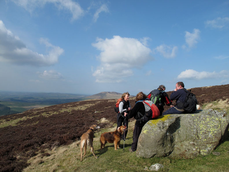
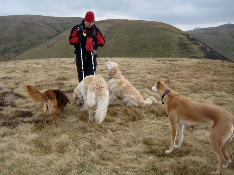
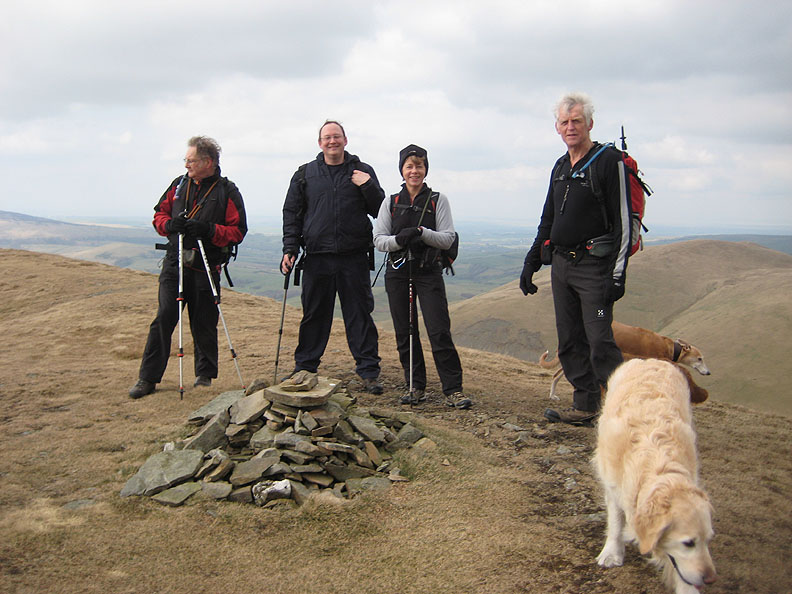
Celebrations, for the dogs at least, in the form of summit treats.
I was spotted taking a picture of Ian's nose. [ I hasten to add that I wasn't . . . I was using my newly-repaired camera to photograph the following shot. ]
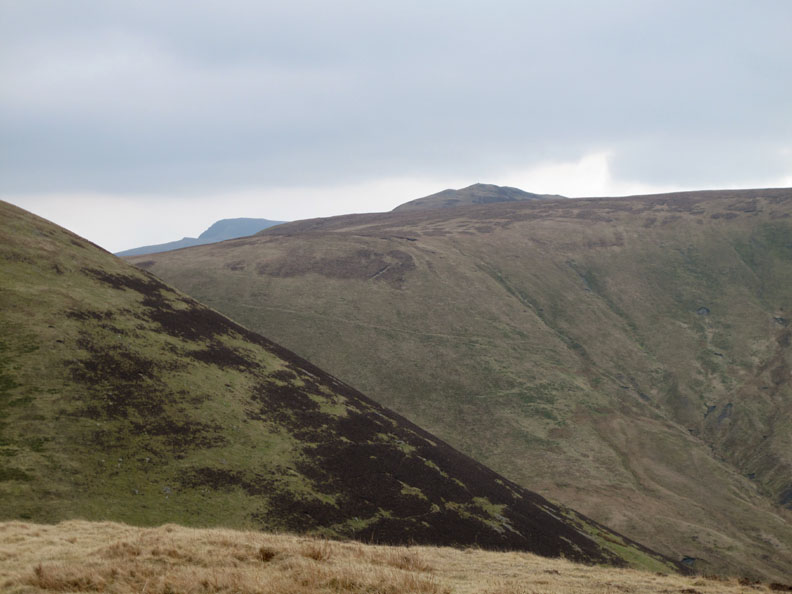
A first view of Foule Crag on Blencathra and the top of Great Calva from the summit of Great Cockup.
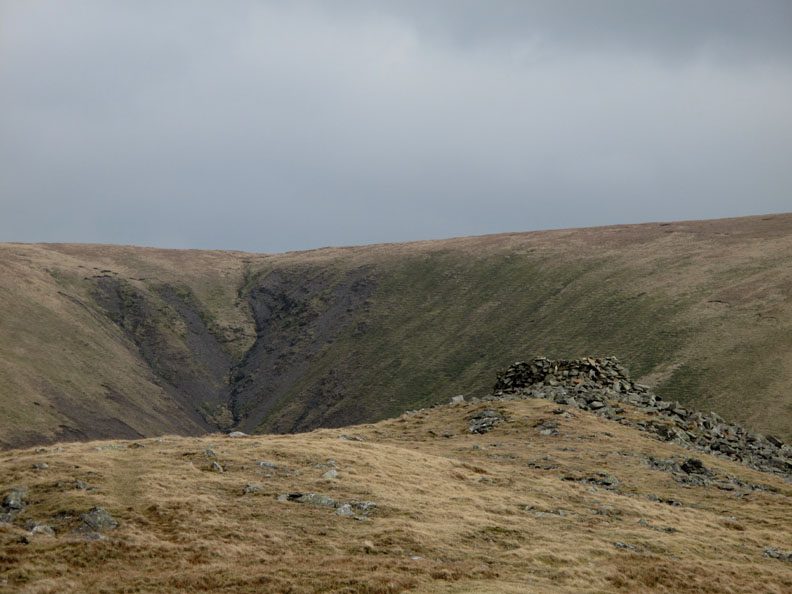
We head north east into what is quite a cold breeze considering the fine weather. The gradually rising ridge ahead has been cut buy a deep ravine known locally as Trusmadoor.
Trusmadoor . . . an instantly memorable name for a dry valley . . . a rarity in the Lake District. Possibly it was a glacial overflow channel when the waters of Burntod Gill (r) and Frozenfell Gill (l) were blocked from flowing away to the right by ice and therefore flowed left to escape to the sea. Possibly it was the remnant valley of Burntod Gill that was robbed of water when Frozenfell Gill cut back and pinched its headwaters. Answers please on the back of a five pound note and addressed to us here at Loweswatercam ;o)
A study in silhouette . . . Big Skiddaw and Little John.
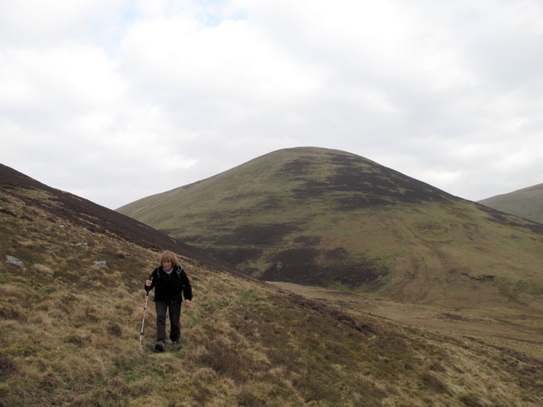
Ian and I make our way up towards the next summit . . . Meal Fell. We would follow the Burntod Gill down from here at the end of the day.
John, Ian, Jo and Ann . . . no it's not . . . it's me on the right this time.
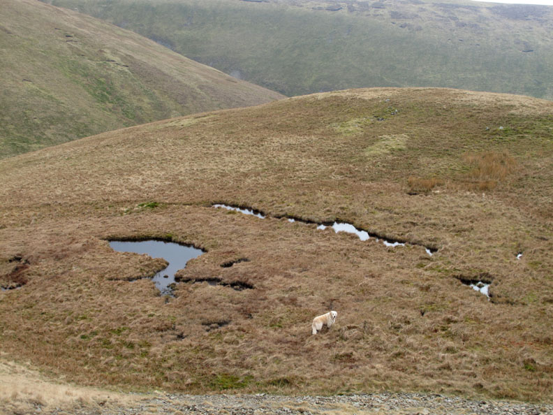
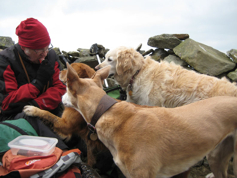
Meal Fell is notable in that it has the remnants of a summit tarn which Harry has managed to find and walk in already . . . hence the brown wellington look.
It is also notable for having a rocky outcrop which has been put to good effect by building a good shelter from the stones.
It's now two o'clock after a midday start from Orthwaite . . . Meal Fell . . . so it's time for a meal ! [ Hold your cursor over the picture to see whether the dogs were offered any ]
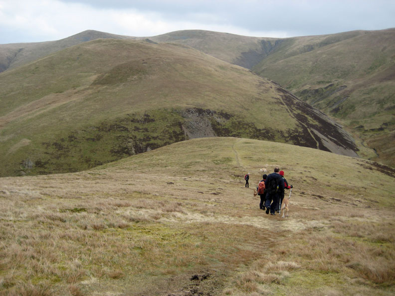
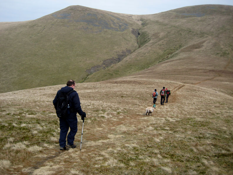
The walking from here is back on moorland grass as we take the obvious path up and left to Little Sca Fell.
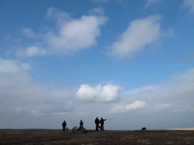
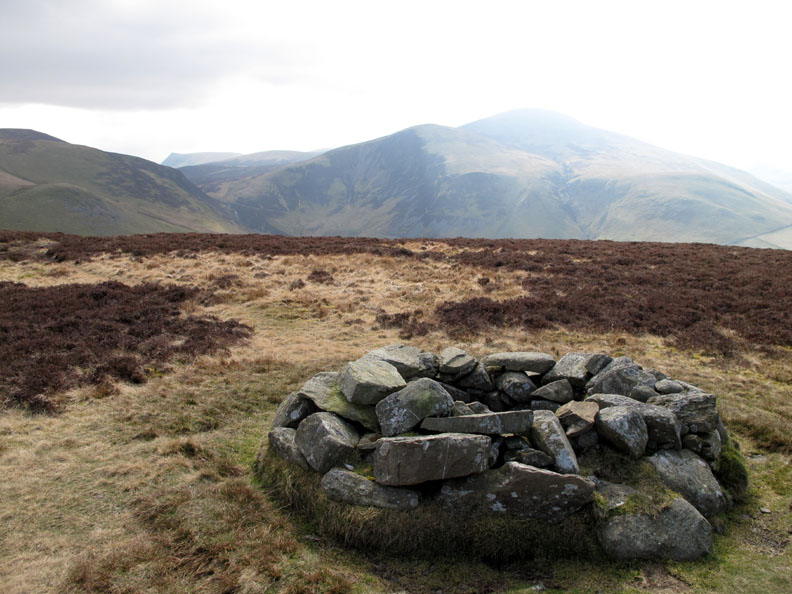
The summit cairn, the hollow and surrounding wind shelter. The abundance of stones here might just have something to do with the dug-out pit.
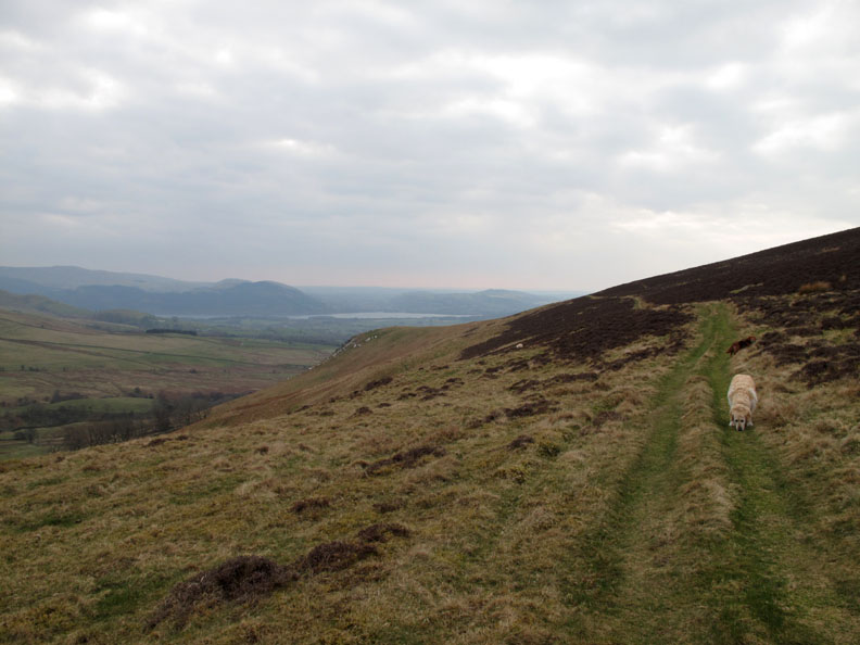
A northerly wide view of Longlands, Lowthwaite and Brae Fells in the sunshine. Nice to think that one of the fells closest to the Scottish border has a Scottish sounding name.
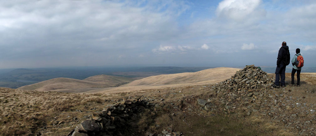
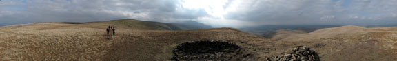
Click here or on the photo above for a Loweswatercam 360 degree annotated panorama from the summit of Little Sca Fell.
Onward from Little and Great Sca Fell (not to be confused with Scafell or Scafell Pikes) to the summit of our fourth Wainwright of the day, Knott.
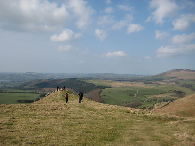
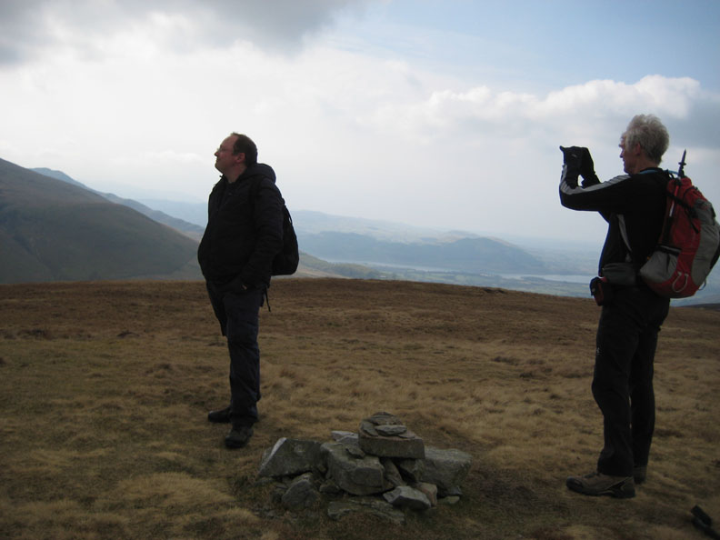
Big blue skies as we pause for the view from the summit.
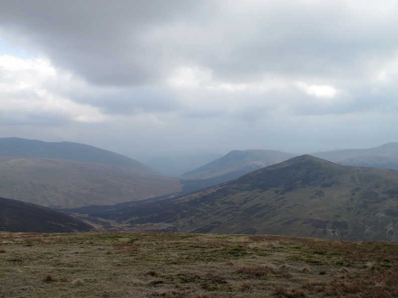
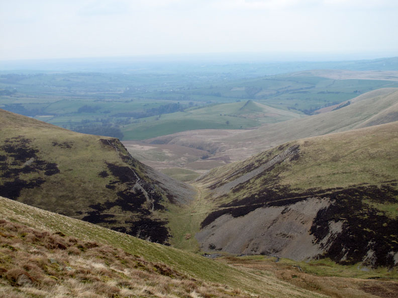
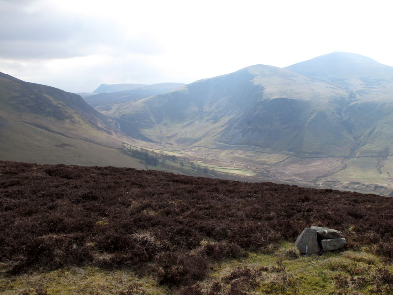
This is the view, or as much of it as we will see today, down the fault valley that splits Blencathra from the Skiddaw fells. It hosts to the lake at Thirlmere and continues on through Dunmail Rise towards Grasmere and Windemere. Great Calva is the fell to the right, with Lonscale behind.
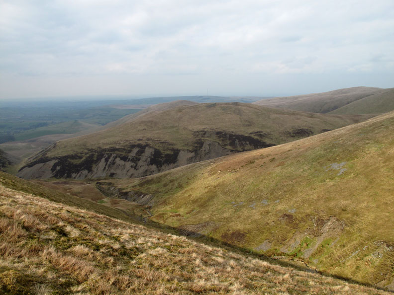
We turn west now, directly along the fold of my map, heading for Burn Tod ahead. Unfortunately up here there is no defined path, so the going is rather slow due to the tussocky grass.
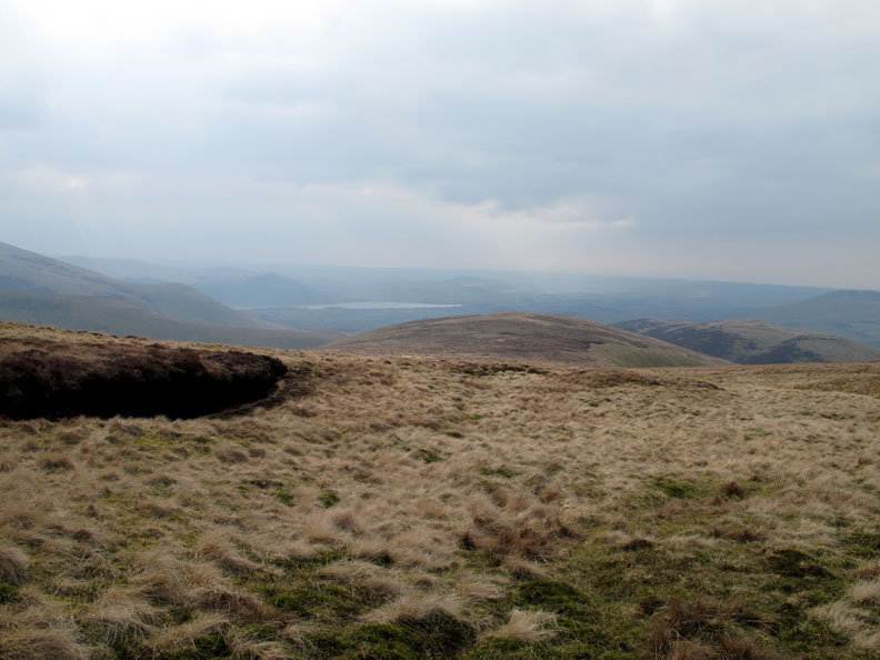
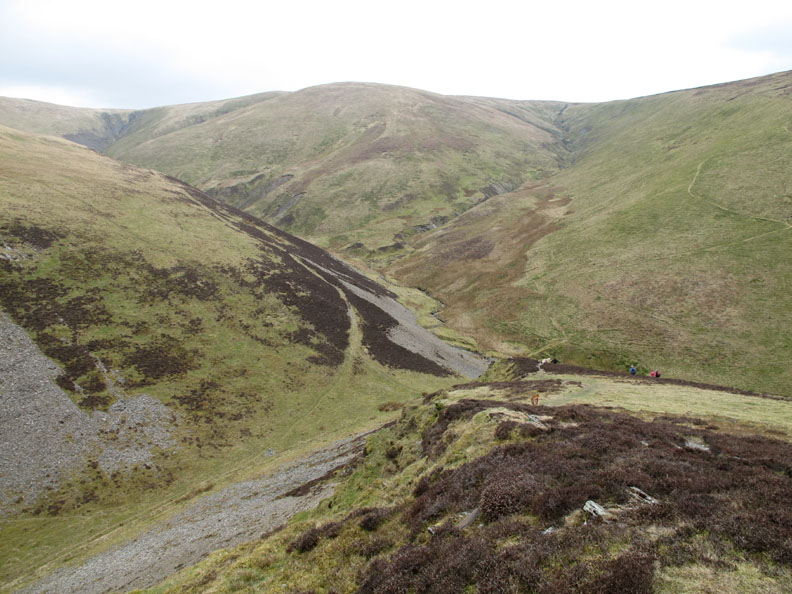
The head of Burntod Gill with Trusmadoor and Over Water ahead. Our path skirts below the darker peat hags of the flatter summit vegetation to the left.
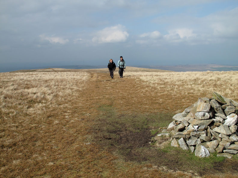
The path becomes more defined as walkers, Ann included here, follow the natural line across the fell side.
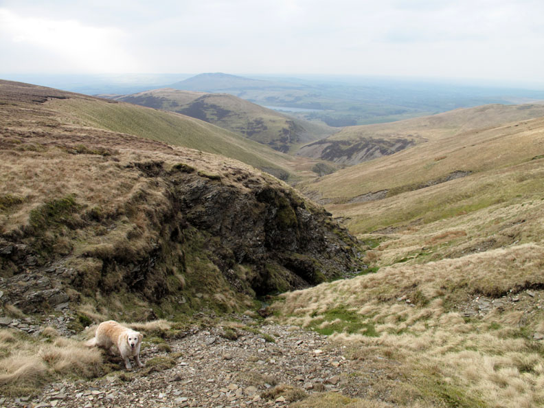
Meal Fell across the sunshine of Frozen Fell. We're making our way back down to Trusmadoor shortly on the zig-zag path off the end of Burn Tod.
That place that starts with the letter 'T'.
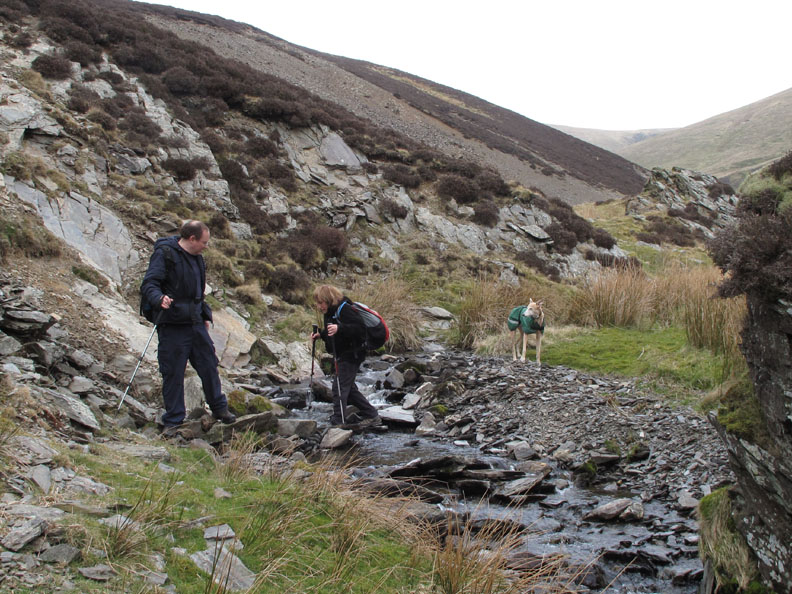
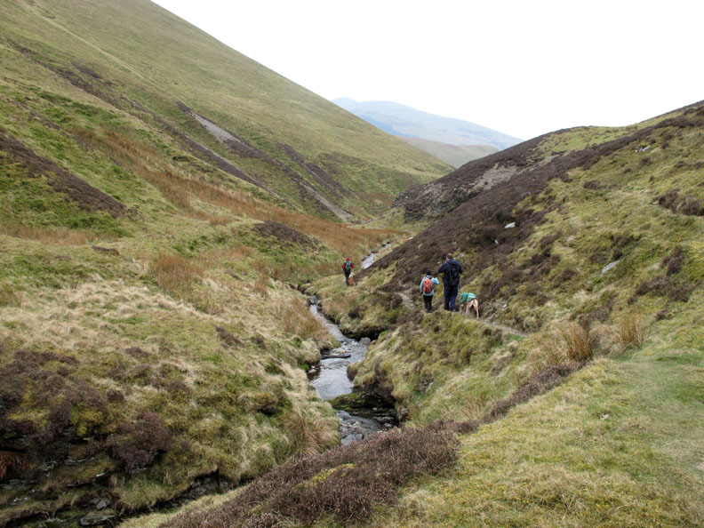
A quick stream crossing to avoid the rock fall behind Ian and we're on our way down Burntod Gill valley.
A well defined route once again.
Nearly out into the wider Dash Beck Valley leaving Burn Tod behind.
Heading for the white stones of Brockle Crag once again.
Goodbye to Dash Falls for another day. The air quality hasn't improved much during the day and as a consequence the view hasn't really improved.
John, Ian, Jo and Ann . . . yes it's them again but in a different left to right order.
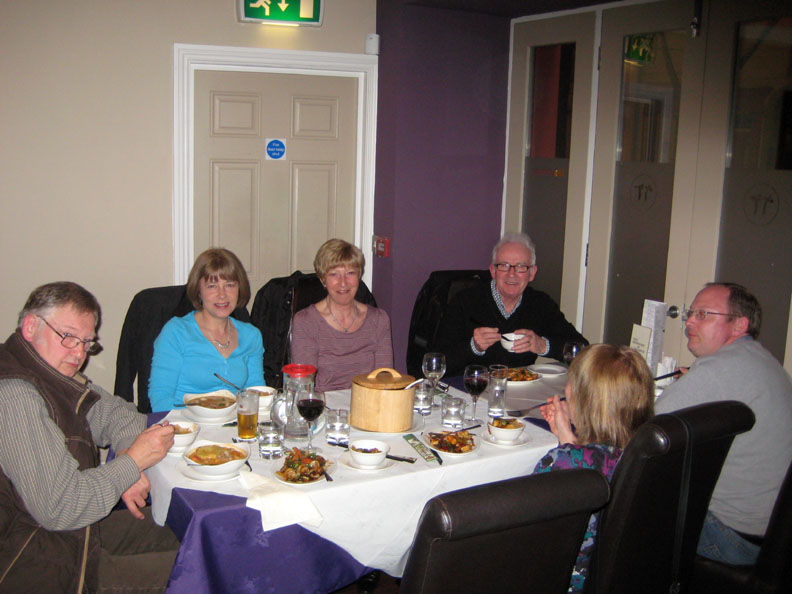
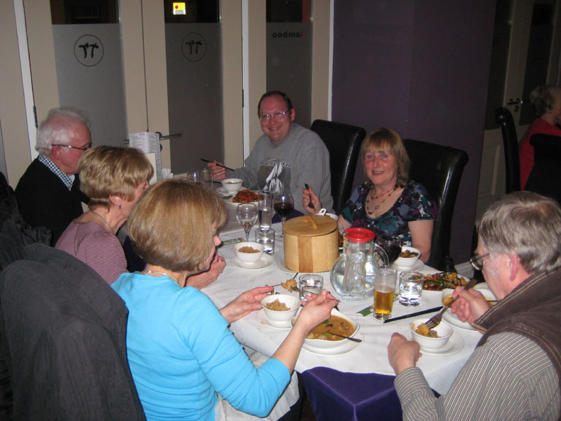
At the start of the report I promised you a meal for seven which I can now reveal . . . as Sherran and Bill have joined us for the evening.
All dressed up in posh indoor-gear at Bamboo in Cockermouth. Chinese and Thai . . . heartily recommended . . . enjoy your supper ! - - - o o o - - - |
Technical note: Pictures taken with either Ann's Canon 75 or my Canon G10 digital camera. Resized in Photoshop, and built up on a Dreamweaver web builder. This site best viewed with . . . a meal to celebrate Jo's birthday and good friendship. Go to Top . . . © RmH.2011 . . . Email me here Previous walk - 24th March 2011 Blake and Cogra with Sherran & Bill A previous time up here - 15th October 2005 Longlands, Knott and Brae with Jill Next walk - 27th March 2011 Hen Comb and Friends
|


.jpg)
.jpg)