![]()

Remember: Press F11 for a full
screen view of this page.
|
|
|
Remember: Press F11 for a full
screen view of this page. |
|
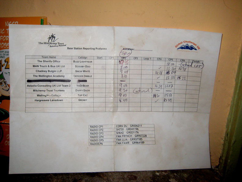
" The Mitchtemp Trust Brecon 10 Peaks Event" Date & start time: Saturday 12th March 2011, 5.30 am start. (pre-dawn) Location of Start : The southern lay-by, Storey Arms, Brecon Beacons, Powys (SN 988 198) 10 Peaks visited : Corn Du, Pen y Fan, Cribyn, Fan y Big, spot .730m, Trig 642m, Storey Arms, Fan Frynych, Fan Dringarth, Fan Llia, Fan Fawr Storey Arms. (a 20 mile 6,500 ft route) My Walk details : 13.4 mls, 1825 ft of ascent, 13 hrs 30 mins including stops and the drive. (To be technically correct I only summited peaks 2, 3, 4, 5, 8 and 9.) Highest point : Pen y Fan 2907 ft - 886 m. Walked with : John, Steve, Paul, Mitchtemp guys and nine teams of (approx) four people. Weather : Misty to start, clearing midday but closing in again by the end. Light but cool breeze.
|
The Mitchtemp Trust Brecon 10 Peaks Event at EveryTrail [ Alter the settings to zoom or change the Map, use Everytrail to download the Gps route ] |
|
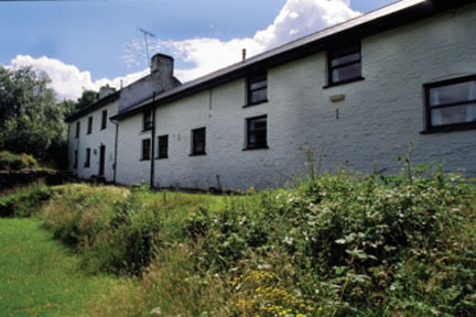
An invitation to help marshall a fund-raising event, this time in Wales, sees us driving down to the Brecon Beacons for a 10 Peaks mountain walk. I dropped Ann in Swansea and returned to Llwyn y Celyn Youth Hostel, the HQ for the event the following day.
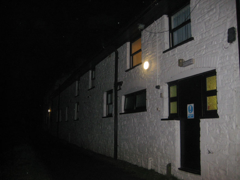
When I actually arrived it was dark ! ( Many thanks to the YHA site which provided the daytime picture )
The hostel was base for the Mitchtemp Trust this weekend and all 42 beds were booked by them. Fortunately the four mountain guides from Cumbria (that's us) had been offered accommodation at the hostel which made our weekend a whole lot easier. The Trust was set up by David Hempleman Adams " to offer youngsters the chance to experience the great outdoors, to give theme the hope, confidence and life skills to meet the challenges in their lives and together build trust and motivation through a journey of experience, adventure and fun." This weekend was a sponsored walk with a difference for supporters of the trust.
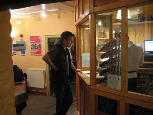
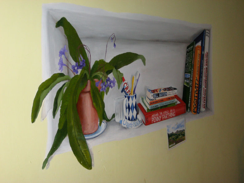
Time to relax and enjoy the rest of the short evening at the hostel. Not having stayed at hostels for many years I was very pleasantly surprised with the sleeping arrangements (nice bunks and proper duvets), by the decoration (excellent artworks such as the one above), the general facilities and the hostel prepared food. Time for an early night . . . 10.30 pm early for me !
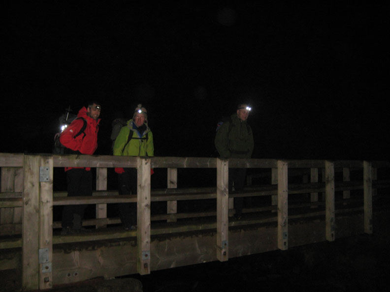
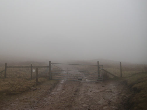
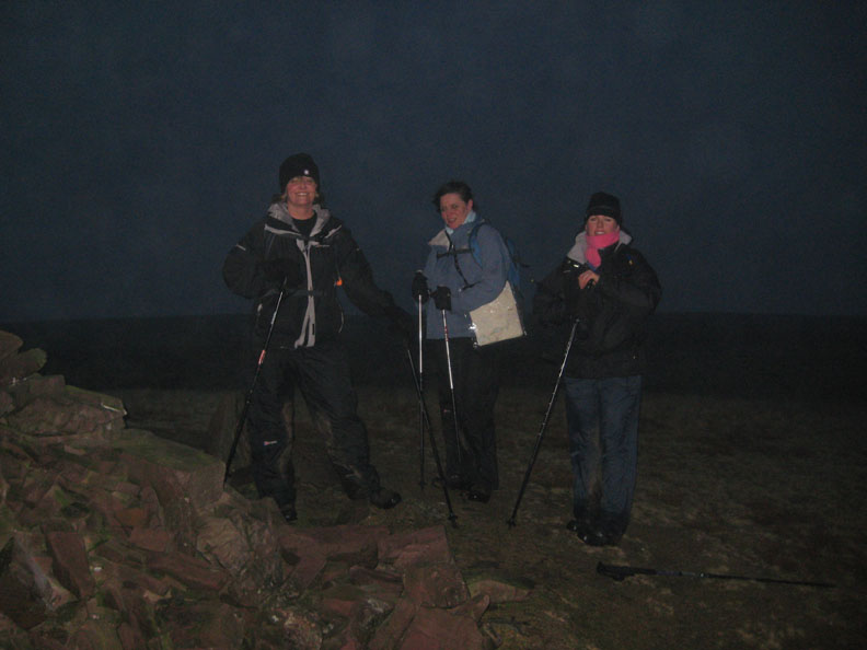
The reason was, that as marshals, we had to be out on the hills in advance of the teams . . . so it was a dark, misty, 5.30 am start up the path to Pen y Fan summit.
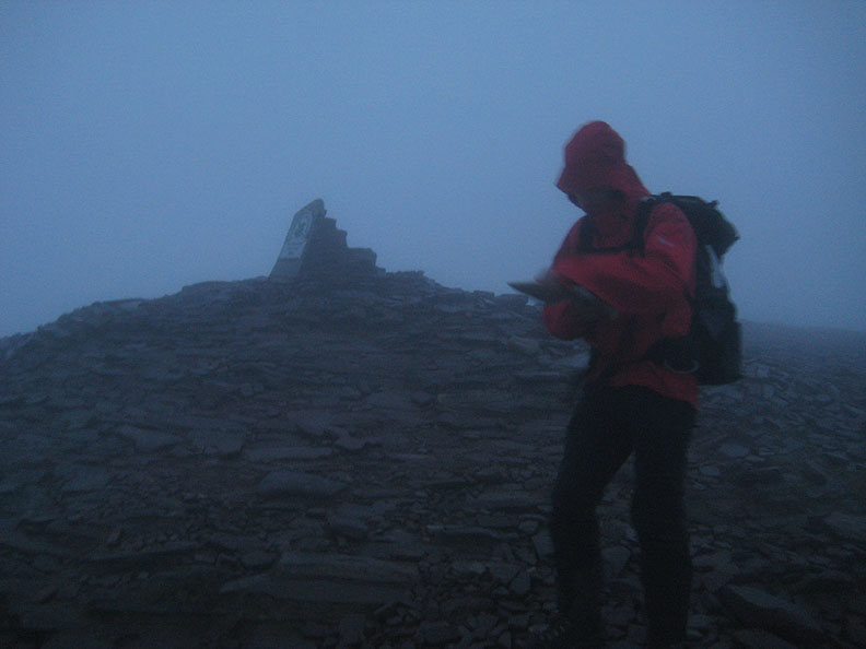
Corn Du [pronounced Corn D Mark ;o) ] the first checkpoint . . . where we left Steve to set up the first radio relay station of the day. (that's him with the head torch.)
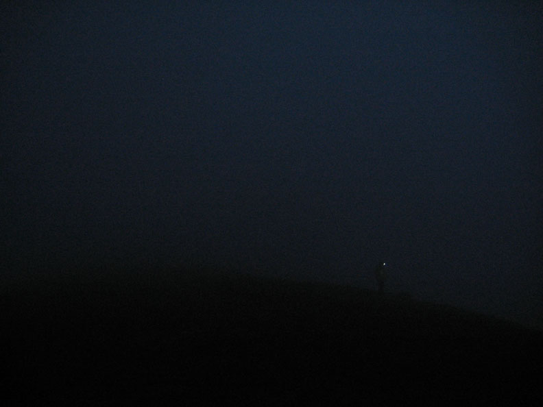
By the time the remaining three of us reached Pen y Fan summit it was starting to get light. Paul checks the map as he and I leave John to set up the next checkpoint for the teams to reach.
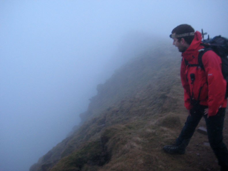
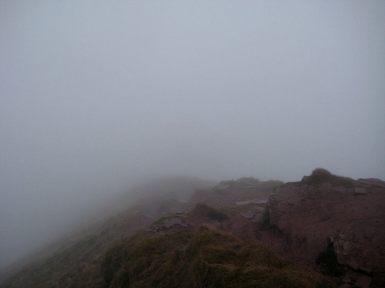
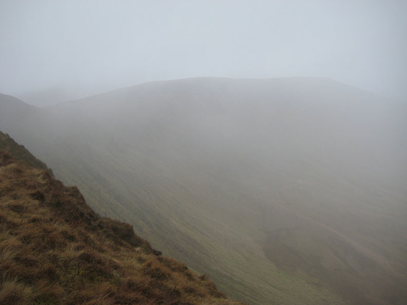
The visibility on Cribyn was no better but at 6.40 am it was at least light enough to turn the torches off. Paul looking over the edge . . . he would patrol this area of the route to make sure passing teams were all ok.
The sign post at Bwlch ar y Fan looking back up into the mist-covered Cribyn.
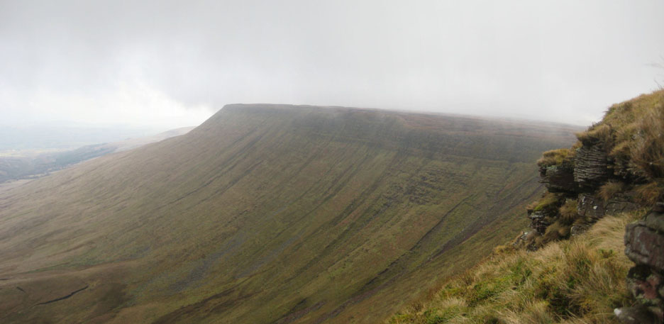
The muddy, northern and sharp descent from Fan y Big. The teams should stop at this point and double back along the escarpment heading for the next summit on the ridge to the east. [ One team had to climb Fan y Big twice, the second time was on the way back up, after going the wrong way ! ]
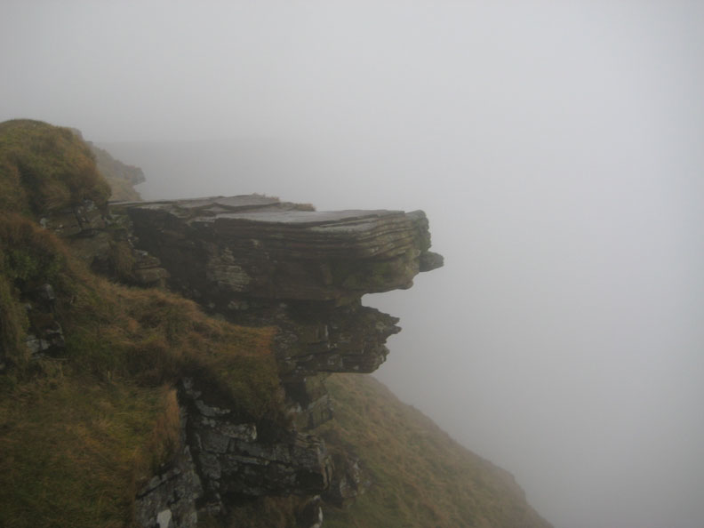
Despite the mist there's dramatic rock scenery here on the top of the escarpment. The horizontal strata of red sandstone has protected the ground beneath from being eroded over the millennia of time.
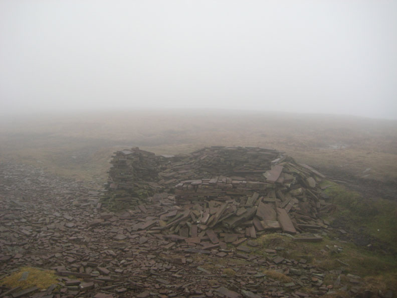
With flat, almost slate like shapes, making a shelter like this would have been as easy as building lego. However, there was no time today to stop and repair this one though as the teams were already passing the earlier checkpoints.
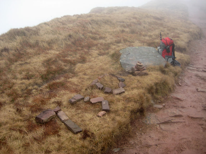
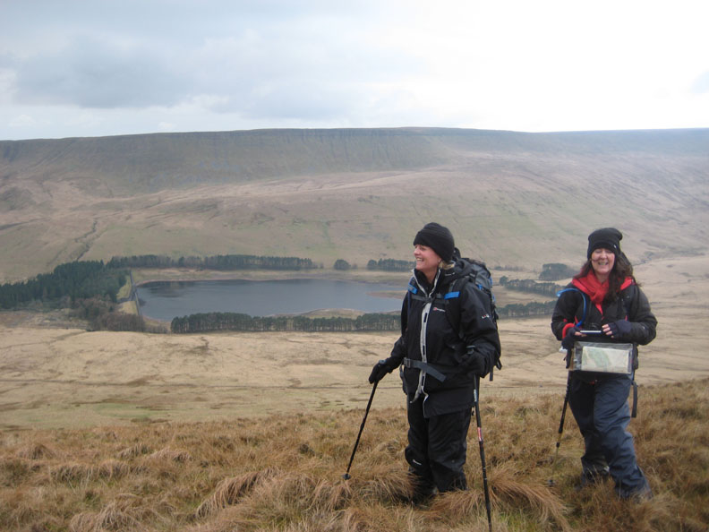
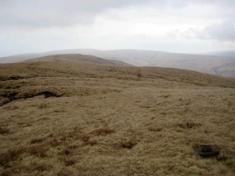
My first marshaling point, and radio checkpoint 2, was located at a spot height of .730m on the map . . . this must be the place !
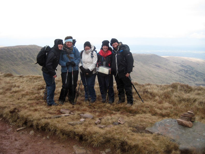
The first of the teams has followed me along the ridge and suddenly appear out of the gloom. A brief photo call for team Chadney Bulgin from Portsmouth (call sign Snow White) and they were on their way.
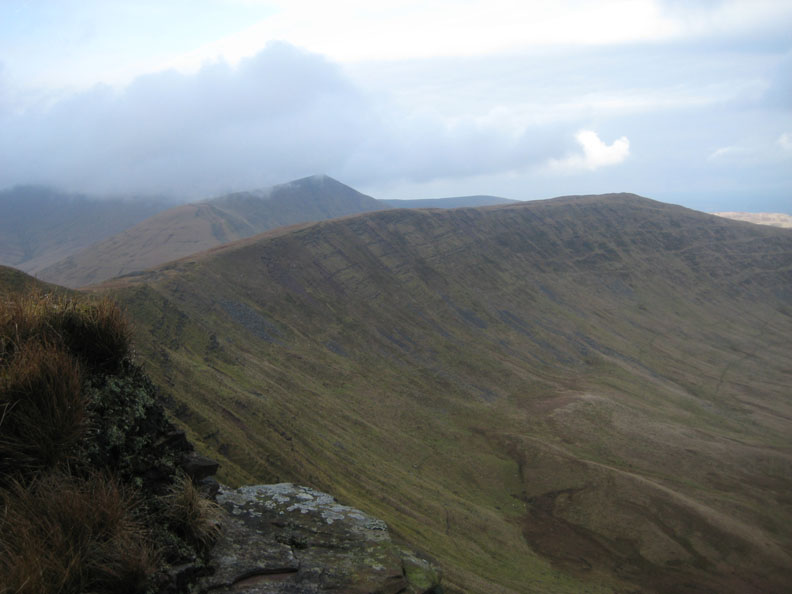
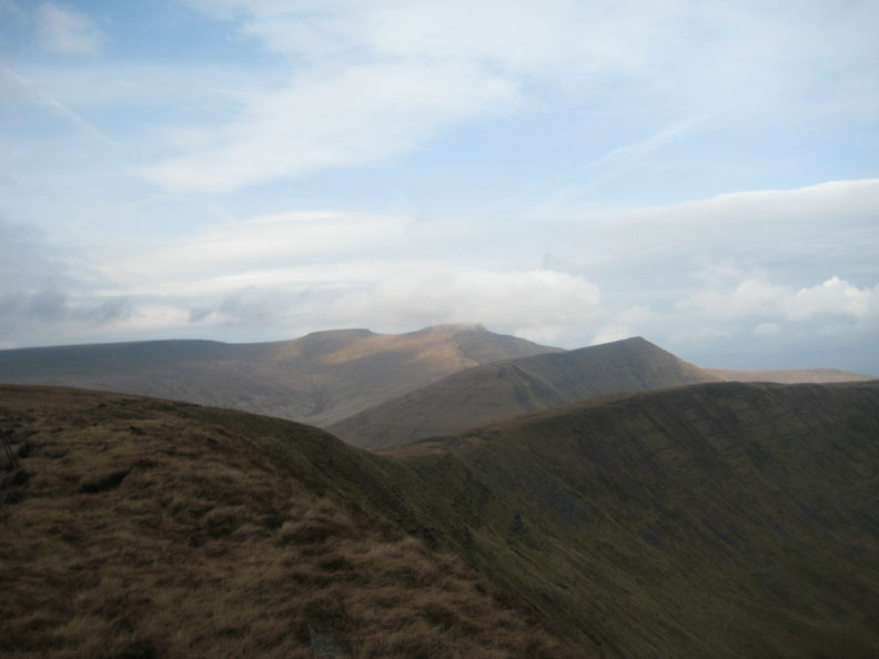
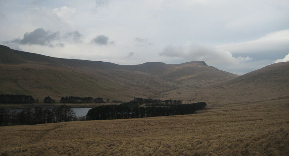
What's this . . . the mist is starting to clear and I get my first view back. The ridge extends from here back towards Fan y Big and now I can see the next team in the distance.
By 9.30 am the cloud base was definitely on the rise and I was getting consistent views in both directions. This is the continuing ridge eastward towards Craig Cwareli.
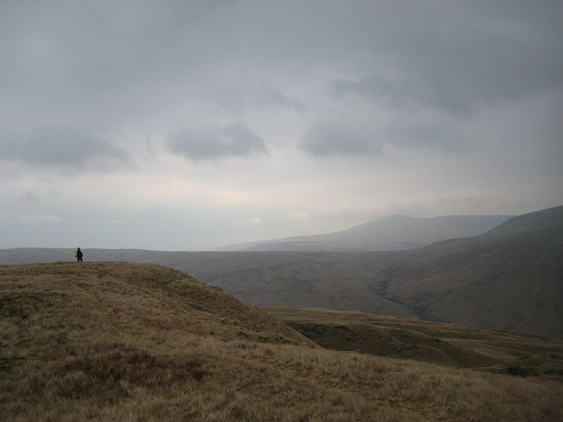
Fan y Big is really clear now as I grab a sandwich and wait for the last team through.
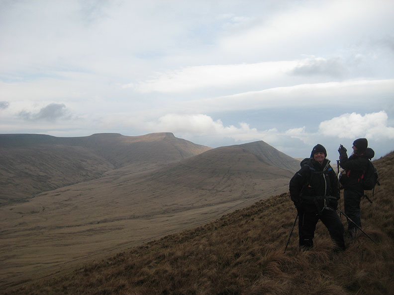
Several sandwiches later Pen y Fan had fully arrived into view . . . but not the ladies of "The Sheriffs Office" (Team Buzz Lightyear)
Don't panic . . . they weren't far away !
Radio Checkpoint 2 now closed, I walked down with this last team towards Upper Neuadd Reservoir. The skies had cleared as forecasted but there was still a gentle but cool breeze blowing.
They insisted on taking my picture . . . Modesty prevents . . . but then they would be disappointed if I didn't include it here after all their efforts.
Last but by no means least . . . the ladies made their way down to the next checkpoint, heading for the Filter House of the reservoir below.
Looking back from the fell road at Corn Du and Pen y Fan, both now enjoying dappled sunshine.
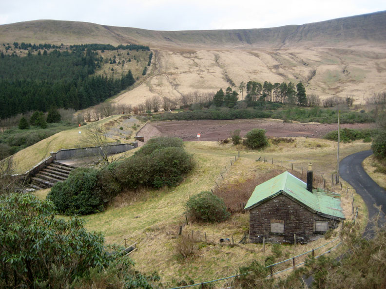
The lower reservoir below Upper Neuadd has been drained and is no longer used.
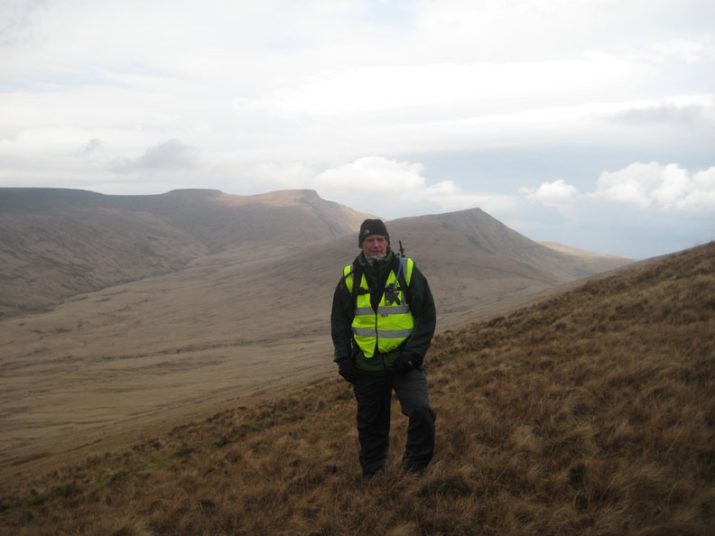
Four members of the team continue on with another of our marshals, Ben.
One of the team preferred not to continue the walk so my colleague Kevin and I took her by car from the nearby car park and around to Talybont Reservoir where she jumped ship for a lift back to base.
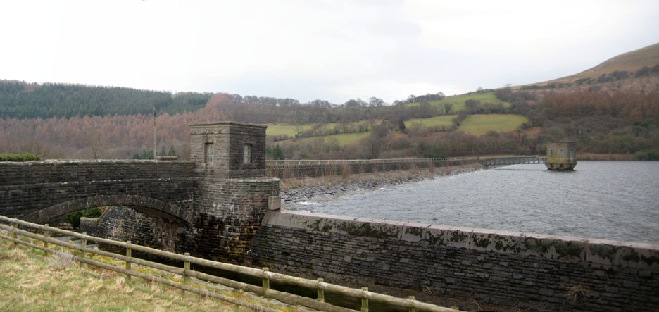
A quick view of Talybont dam as we set off for the second half of the day.
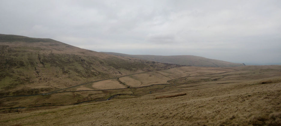
Brecon Canal ??? Yes Kevin and I were due to change positions from east to west to meet the teams a second time on the next section of the walk. We drove round the top past Brecon, to get to our new positions.
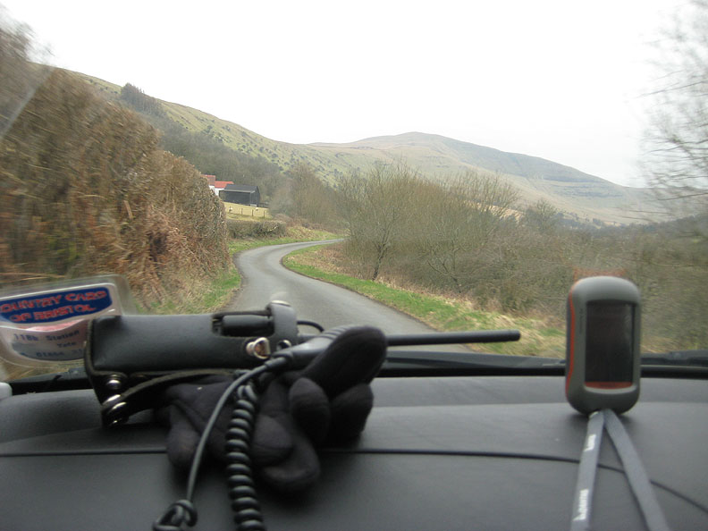
Heol Senni Valley and Fan Nedd . . . Two way radio and Garmin Dakota 20 hand-held Satnav. The gps was really good, giving me full O.S. mapping for the hills and turn-by-turn for the back roads. [ It also gave me statistics and the tracklog that you see at the head of this page.]
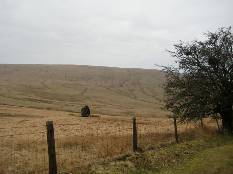
Fan Llia and the standing stone Maen Llia, alongside the road just before we parked. [ This is a bit of a give away . . . I convinced several teams that we ran across the hills to get ahead of them ! ]
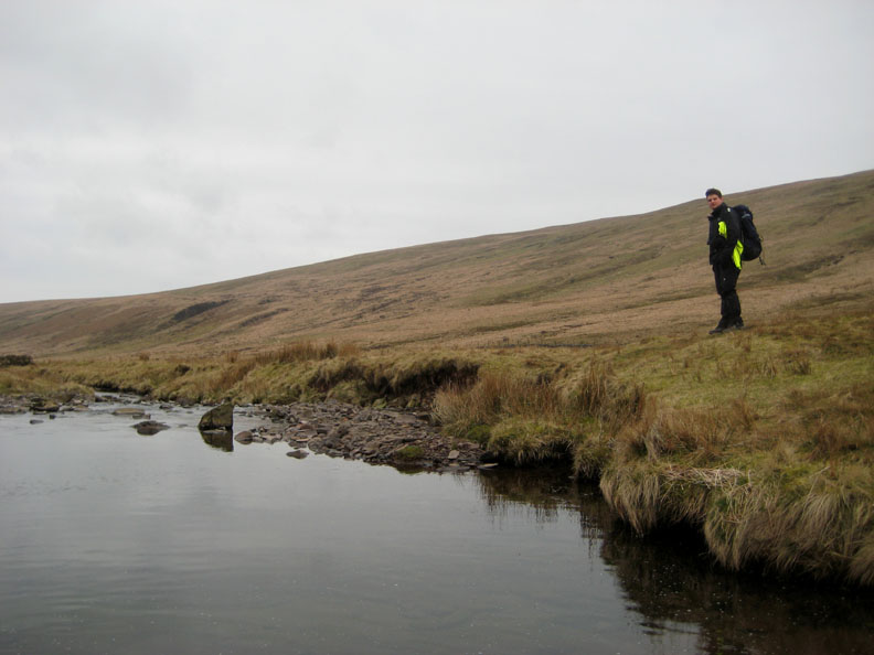
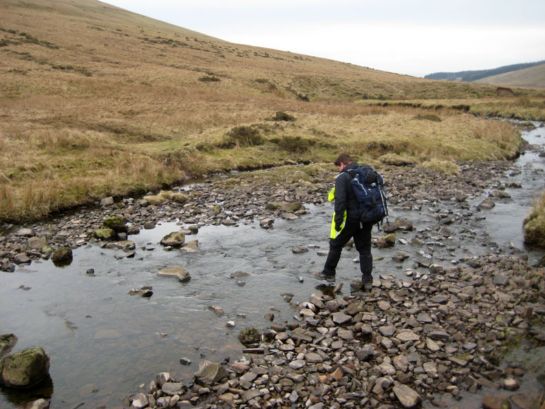
One more river to cross . . .
Kevin finds a less deep section to cross the infant Afon Llia The water from here would flow down and join the Afon Mellte above the Neath Waterfalls.
Climbing steadily up Fan Llia . . . The car can be seen far below now but the weather has lost that sunny edge and is looking decidedly murky.
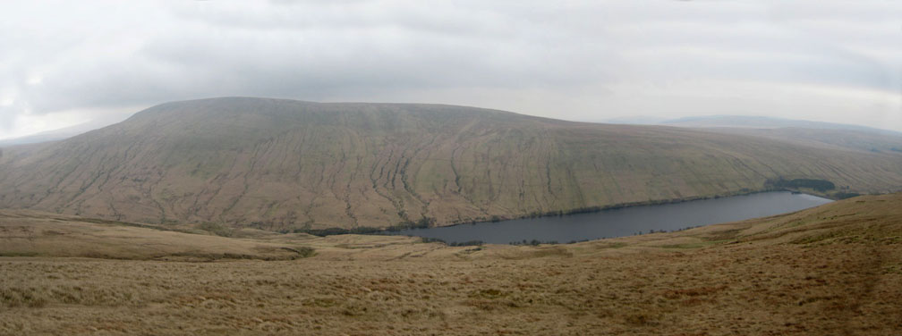
The view from the top of Fan Llia looking over Ystradfellte Reservoir to Fan Fawr, Peak 10 of the event.
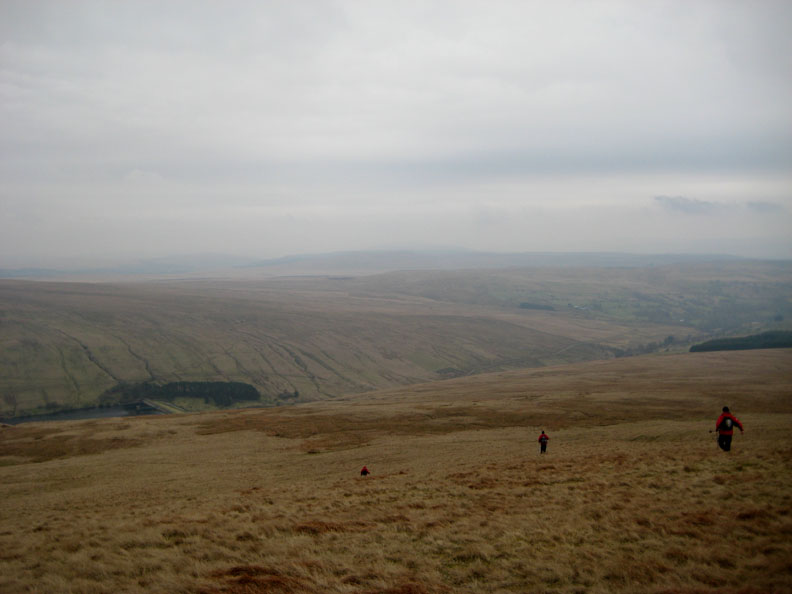
The lads from Wellington Academy (Officer Dibble) set off from my location heading down and across for their last peak of the day.
During the next hour or so the other teams came and went. Mmmm . . . where is Buzz Lightyear ?
Rather than wait around in the slightly cool conditions I walk along the ridge to Kevin who is manning the checkpoint on Fan Dringarth. With the use of the radios we ascertain the location of the girls and meet up as they cross the moorland towards us.
With the three remaining members of the team we walk back, picking up two more required summits (No.8 and 9) As you can see the daylight had beaten us (6.30 pm here) and so we had to cut short their route and exit the hills. So as not to short-change their sponsors, Kevin and I found them an extra peak on the way back and allow them to complete "ten peaks in the day" target . . . everyone was happy.
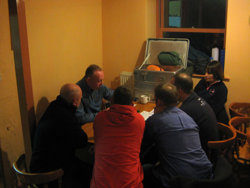
Job done . . . everyone booked in and home safely. - - - o o o - - - Soon after . . . back at base and following a nice warm supper . . .
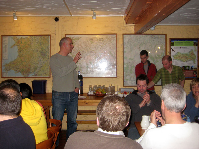
Mark said a few words about the day and thanked everyone for taking part The event raised over £11,000 for the trust, enough to offer about 80 youngsters a weekend away at a Mitchtemp Trust Adventure Camp.
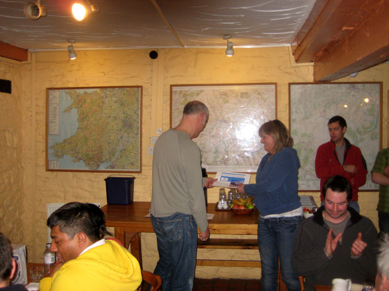
Each team was presented with their certificates.
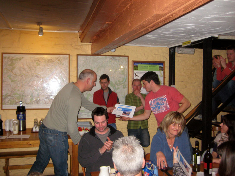
Another presentation but I'm sorry I didn't catch the team name. ( my colleagues Steve and Paul in the background here.)
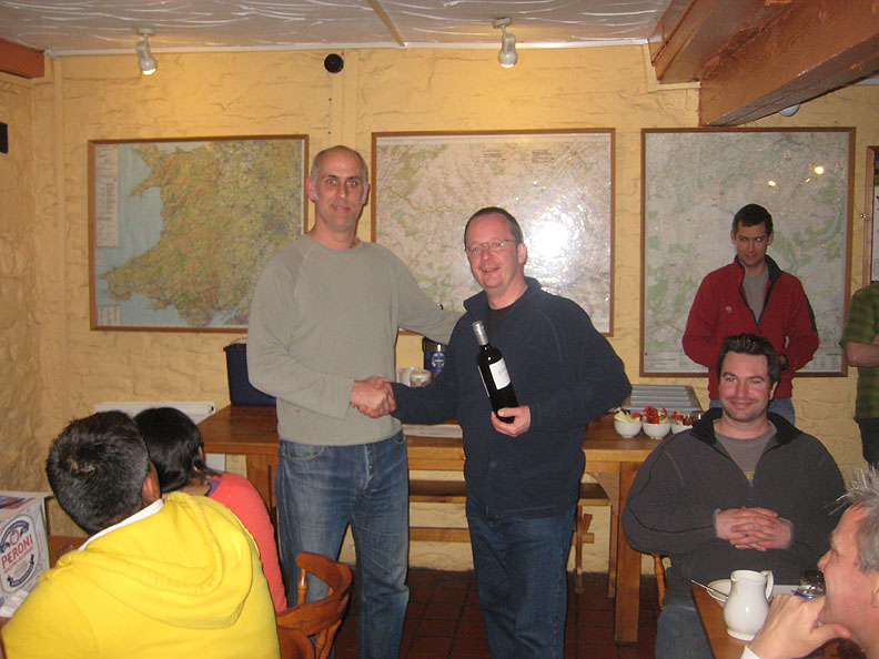
A special mention and reward for the team that raised the most sponsorship . . . the Chadney Bulgin team ( Snow White). - - - o o o - - - From our point of view, a big thanks to Mark, Graham, Ness, Tessa, the Mitchtemp Trust and all the teams for giving us a great day out on the hills too. - - - o o o - - - |
Technical note: Pictures taken with Ann's Canon 75 digital camera. Resized in Photoshop, and built up on a Dreamweaver web builder. This site best viewed with . . . a good hostel at the start and finish of the day. Go to Top . . . © RmH.2011 . . . Email me here Previous walk - 6th March 2011 Grike and Crag Fell A previous time up here - 3rd February 2002 A winter walk - Neath Valley, South Wales Next walk - 13th March 2011 Nicholaston Woods and Oxwich
|