![]()

Remember: Press F11 for a full
screen view of this page.
|
|
|
Remember: Press F11 for a full
screen view of this page. |
|
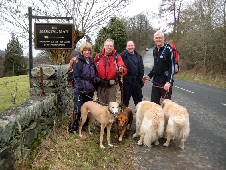
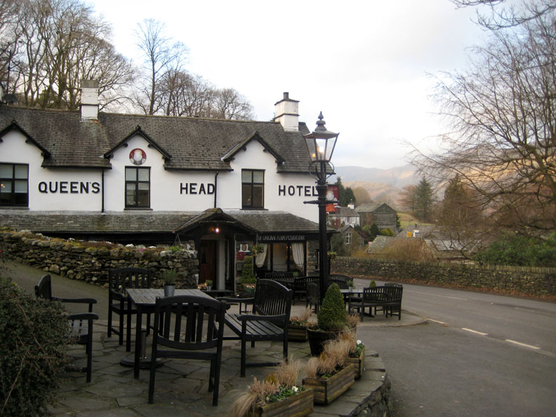
" Troutbeck Tongue near Ambleside " Date & start time: 5th March 2011, 12.05 pm start. ( NY 415 040 ) Location of Start : Roadside above the Queens Head Inn, Troutbeck, Cumbria, Uk. Places visited : Town Head, Ing Bridge, Hagg Bridge, Troutbeck Tongue, the clapper bridge and back via Troutbeck Park Farm. Walk details : 5.3 mls, 1050 ft of ascent, 3 hrs 45 mins. Highest point : Troutbeck Tongue 1191 ft - 364 m. Walked with : Jo, John, Ian, Ann and the dogs, Jodie, Polly, Harry and Bethan. Weather : Overcast but clearing slowly. A cool breeze springing up at lunchtime.
|
Troutbeck Tongue near Ambleside at EveryTrail [ Alter the settings to zoom or change the Map, use Everytrail to download the Gps route ] |
|
Two fells down in the Ambleside area of the Lakes are suggested for today's walk. Troutbeck Tongue and Wansfell Pike. They are adjacent fells and neither are very big, but several factors pleasantly conspired against us doing both.
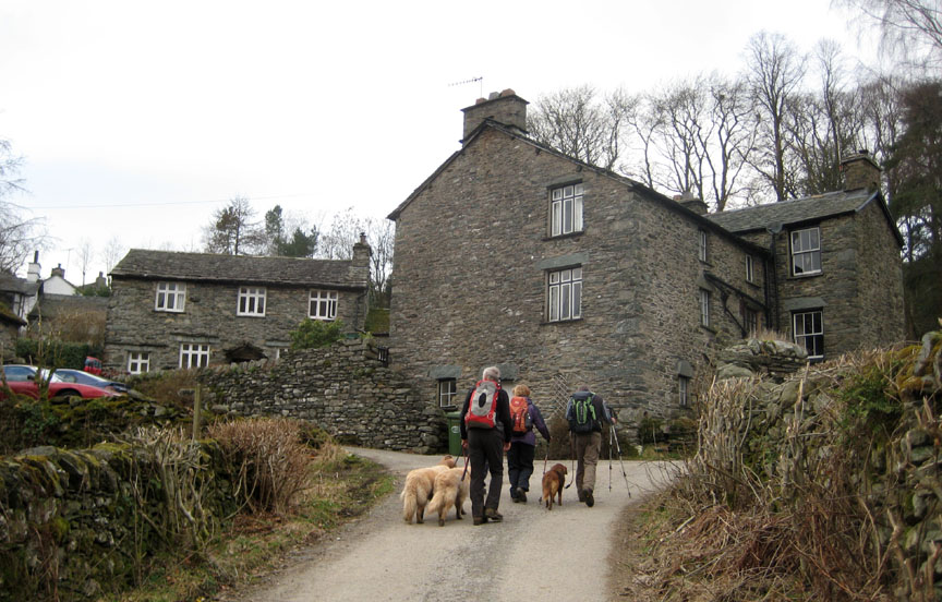
The Mortal Man up the hill but we'll take the road to the left and down into the valley through the houses of Town End.
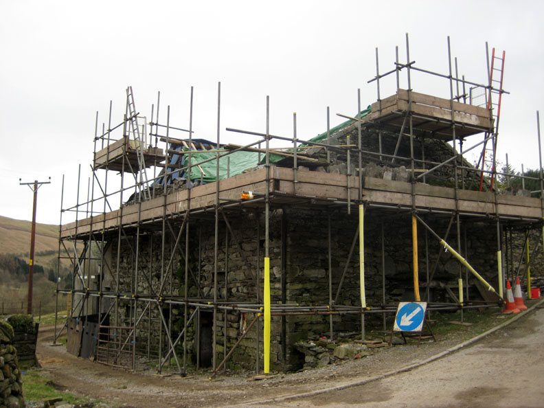
Lots of old and beautiful houses and they have been photographed many times so I thought I'd take this different view of a major barn renovation - a complete strip down and rebuild of the roof in progress. I wonder what it will look like next time we come across this way ?
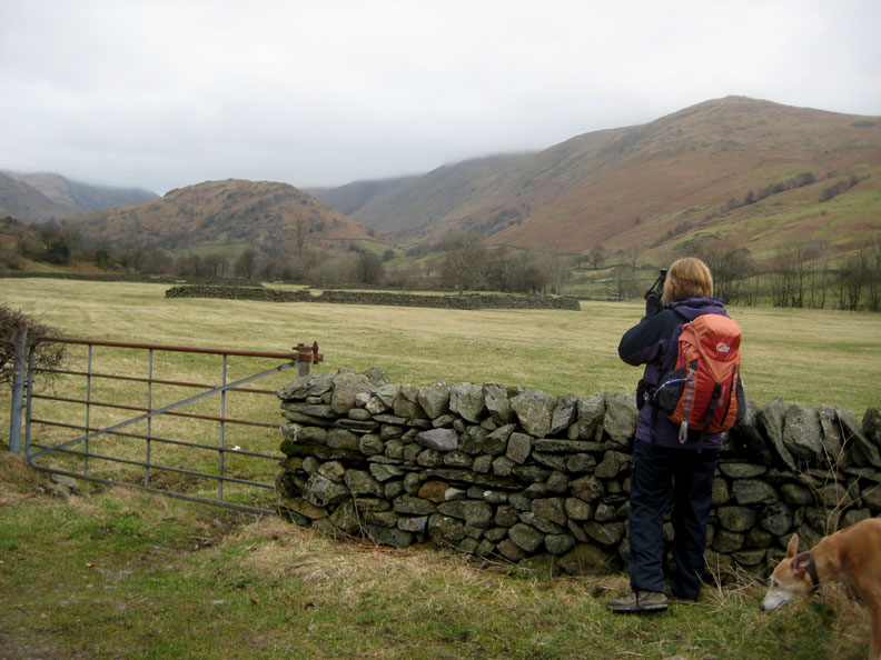
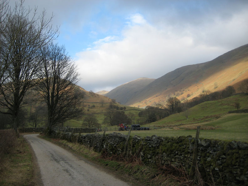
Jo stops for a photograph of Troutbeck Tongue across the fields and stone walls of the valley.
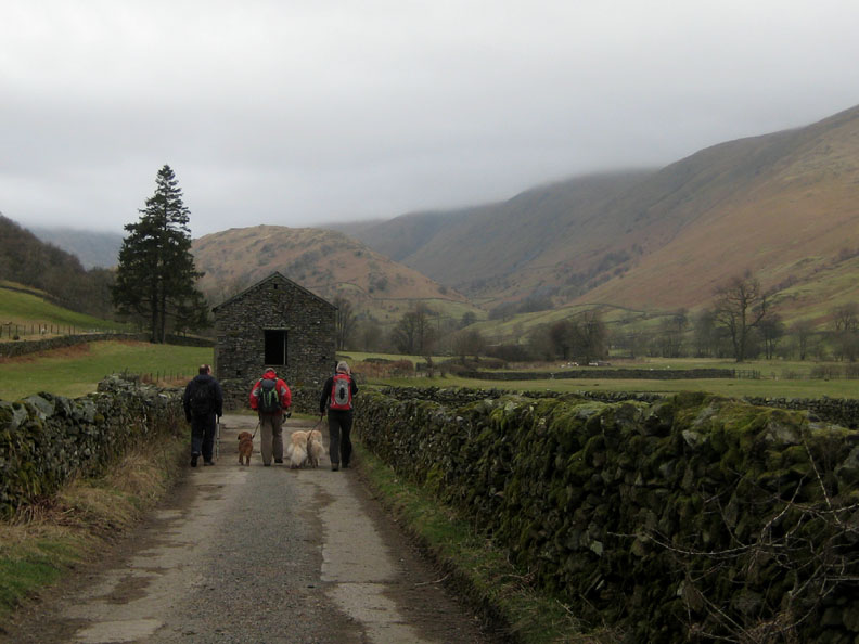
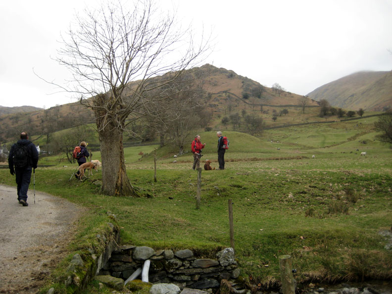
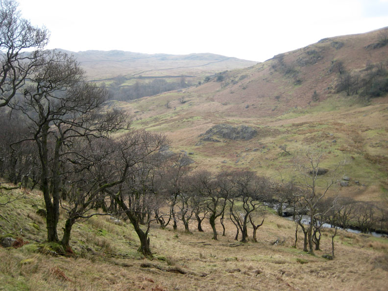
Passing the old barn and heading for Troutbeck Tongue. The cloud is down on the tops and so we decide to walk the Tongue first, leaving Wansfell for later if we had time.
Hagg Bridge where the streams that flank the Tongue, Hagg Gill and Trout Beck join together before continuing on down the valley towards Windemere.
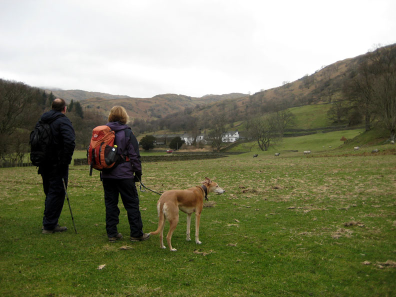
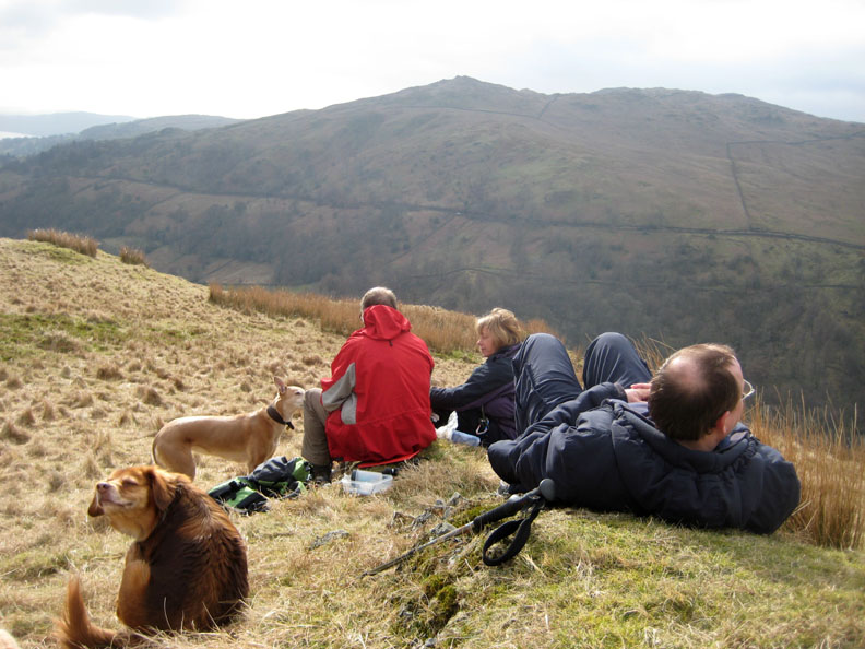
Ian and Jo contemplate the view to Troutbeck Hall farm. We would return down the valley and the woodland behind.
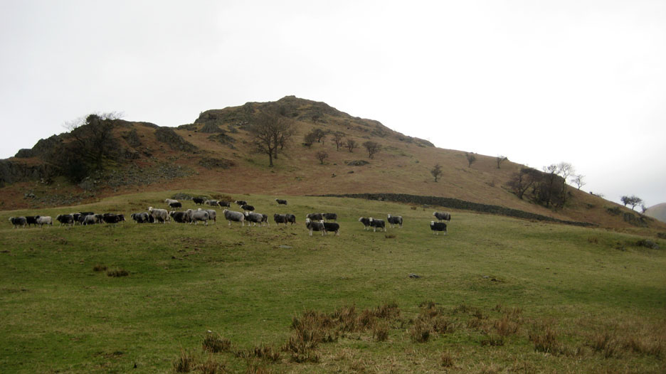
A glacial moraine in the valley floor is shown on the map as Hall Hill. Posh round here . . . they even name their moraines.
We cross the open pasture towards the wall and the track that runs on the other side of it.
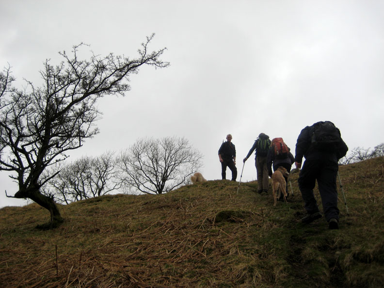
Over the track and steeply up. After the level walk in along the valley the steepness of the ascent comes as a bit of a surprise.
Line astern . . . following the path up.
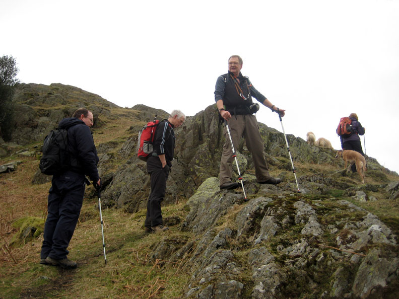
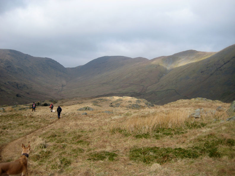
John pauses on one outcrop to enjoy the view back down the valley.
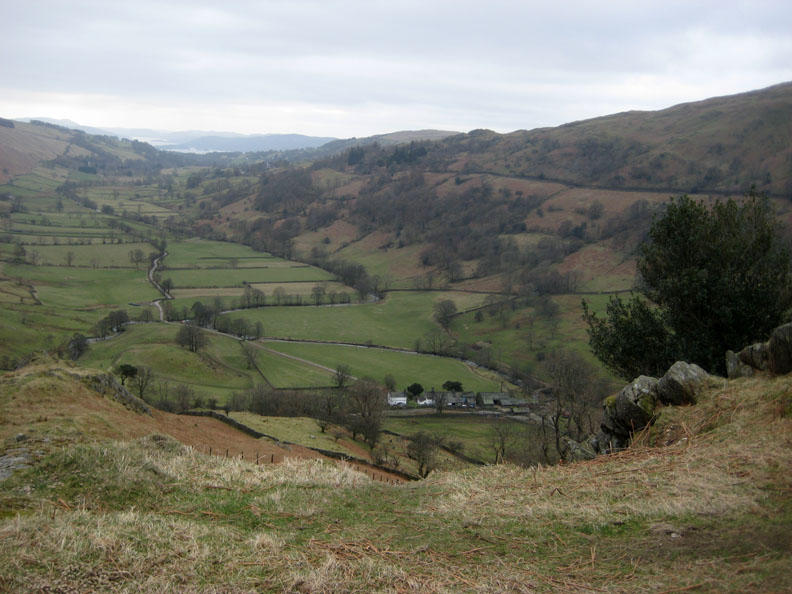
The farm is now well below us and Windemere appears for the first time in the distance.
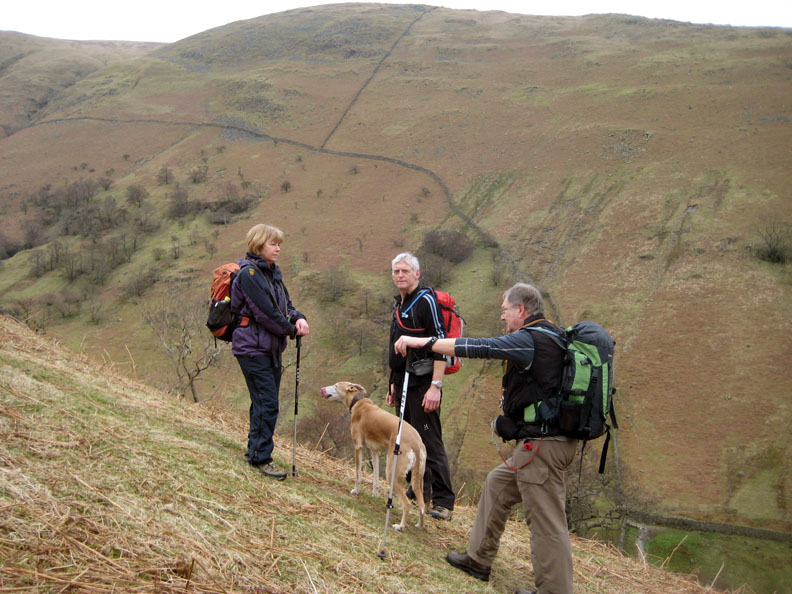
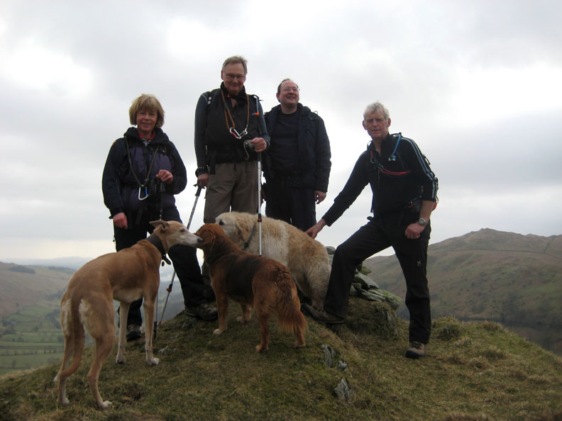
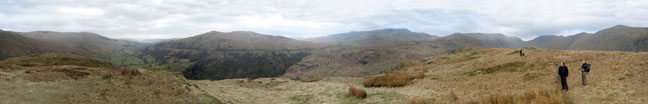
Summiteers . . . aka Richard who we walked with this week.
From the top we had a great view given the hazy conditions. Click here or on the photo above for a Loweswatercam annotated panorama.
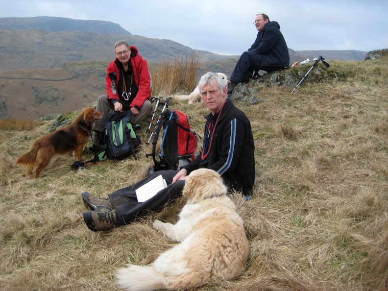
Time for lunch ? We find a spot near the summit but one which is out of the slight but cold northerly breeze.
That's better . . . the sun comes out at the same time as the lunchbox is emptied. Ian obviously relaxing . . . taking advantage of the moment.
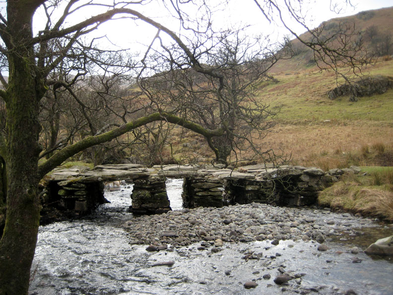
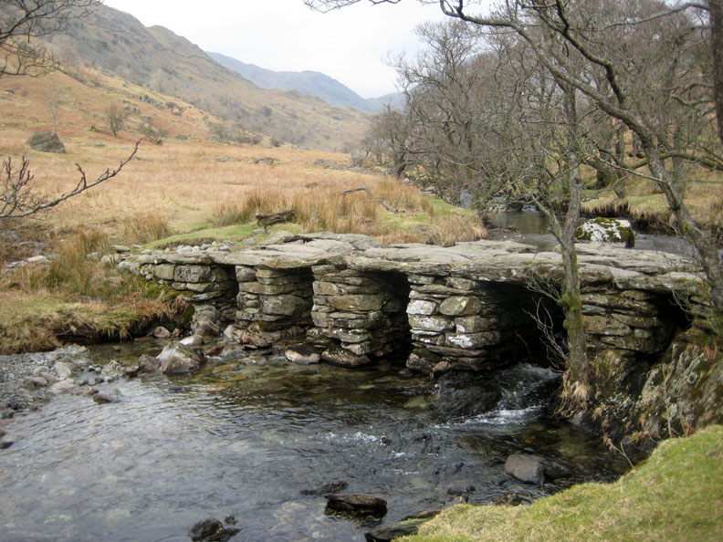
Rather than return the same way we walk a little further north up the Tongue, before heading left to look for the slate foot bridge.
Down below the fence and just at the start of the old woodland is a rather unique footbridge.
Not only has it stone slab tops like many a clapper bridge . . .
. . . but it was actually six feet or more wide, enough to drive a cart across presumably.
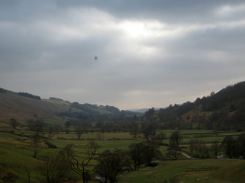
Returning to the track up from the farm we notice a red balloon passing by. [ Watch this space . . . in a month or so, weather permitting, Ann and I are booked on a similar flight over Cumbria ]
The promised forecast of more sunshine in the afternoon was true.
Back up through Town End and the many old houses . . .
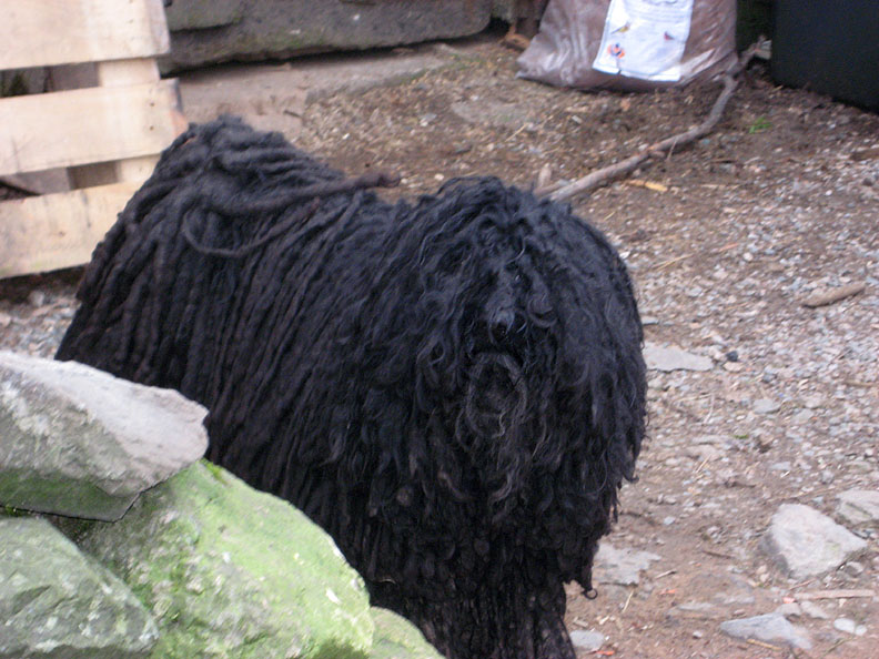
. . . one of which was home to this interesting if rather wary dog. He / she was not impressed by our passing by.
Back at the main road we found another obstruction to us continuing our walk to Wansfell.
It was gone three o'clock so a second walk to the second summit may have been compromised by dusk so we cut our losses and took pleasure from the afternoon walk that we had enjoyed here in Troutbeck. - - - o o o - - - |
Technical note: Pictures taken with Ann's Canon 75 digital camera. Resized in Photoshop, and built up on a Dreamweaver web builder. This site best viewed with . . . an open attitude to route planning on the day. Go to Top . . . © RmH.2011 . . . Email me here Previous walk - 4th March 2011 Mellbreak with Richard A previous time up here - 16th September 2006 Adding Wansfell to Troutbeck to make a longer walk Next walk - 6th March 2011 Grike and Crag Fell
|