![]()

Remember: Press F11 for a full
screen view of this page.
|
|
|
Remember: Press F11 for a full
screen view of this page. |
|
" Low Fell with the Dogs " Date & start time: Saturday 12th February 2011, 3.30 pm start. Location of Start : Road-side near Thackthwaite Village, Cumbria, Uk ( NY 148 235 ) Places visited : Thackthwaite, Low Fell, north and south summits. Walk details : 4.2 mls,1300 ft of ascent, 2hrs. Highest point : Low Fell 1,387ft 423m. Walked with : Myself (Ann) and the dogs, Harry and Bethan. Weather : Blue skies, becoming cloudier. Gentle breeze on the summit ridge.
|
Low Fell with the Dogs at EveryTrail [ Alter the settings to zoom or change the Map, use Everytrail to download the Gps route ] |
|
The morning started very bright and sunny but some clouds rolled in. It brightened up again in the afternoon, so I set out with Harry and Bethan to climb Low Fell, a local favourite of mine, and whose impressive ridge I gaze out at each day from my kitchen window.
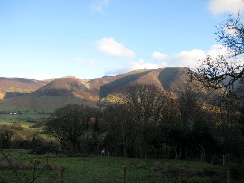
Parking the car just short of the hamlet of Thackthwaite, I set off up the track next to Galloway Farm. At the top of this track I stop to take in this view of Dodd, Hopegill Head and Whiteside, criss-crossed with lovely shadow effects.
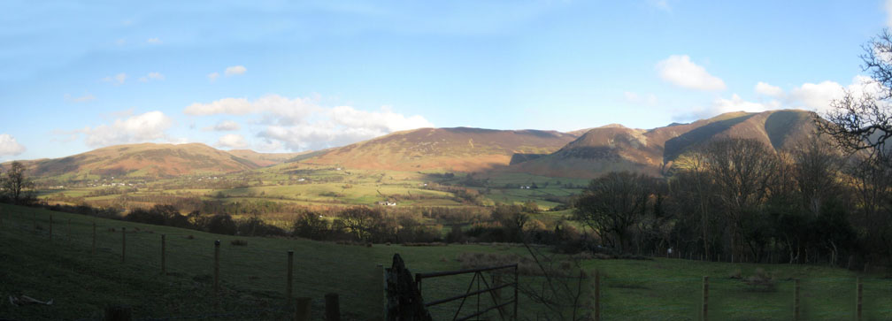
This wider panorama from the same spot shows Lorton's Kirk Fell, Swinside, Ladyside Pike and Grisedale Pike behind. It is also a good spot to take in the wide sweep of the Lorton Valley across to the Whinlatter Valley.
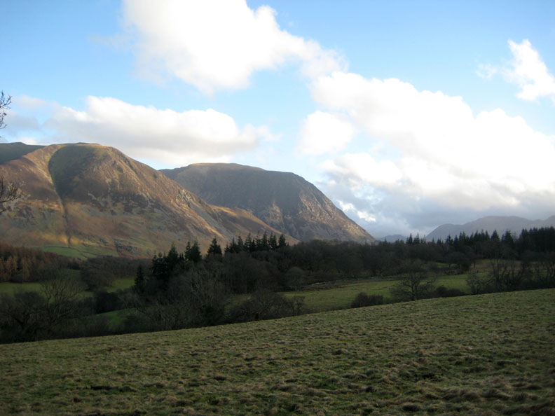
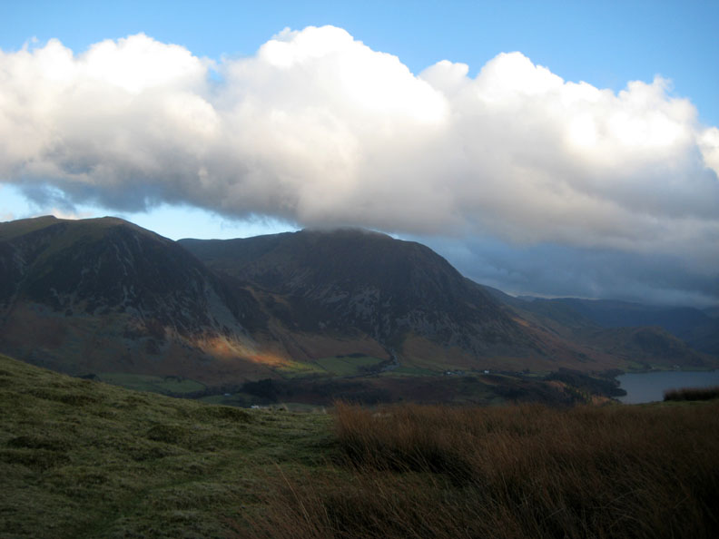
Cloud is building up amongst the high fells at the top end of the Buttermere Valley.
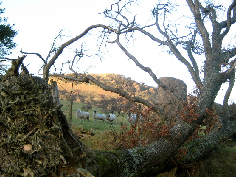
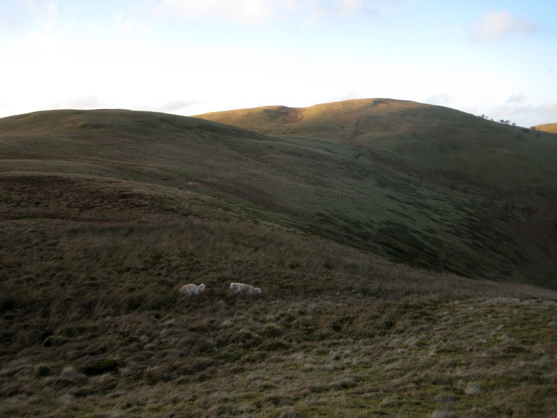
This tree was brought down in the gales of January 2005. It frames the sheep rather nicely at this point.
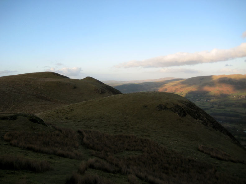
Fellbarrow in the late afternoon sun, as seen from the top of the zig-zag path behind Watching Crag.
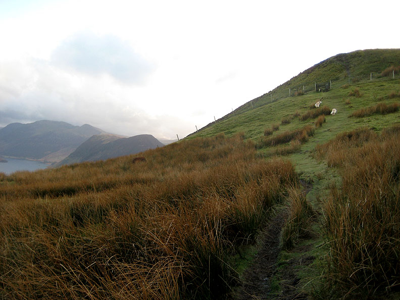
We have reached the ridge and the first view of Crummock Water appears ahead of us.
A little sunshine above Lanthwaite Green with the cloud just atop Grasmoor.
Up the short steep rise to the stile and dog gate that leads upwards to the main summit.
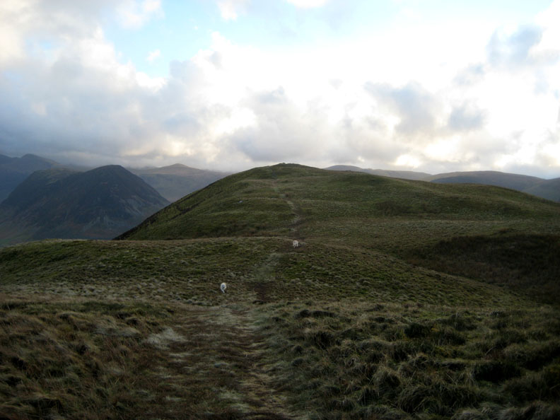
The summit can be seen immediately ahead on the skyline.
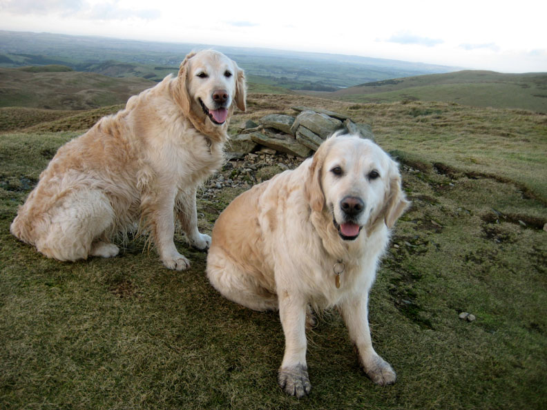
My happy companions, Bethan and Harry at the summit cairn.
A look behind to show the route we have followed along this beautiful ridge walk.
We reach the southern cairn as Mark Weir's helicopter flies past on the way to Honister.
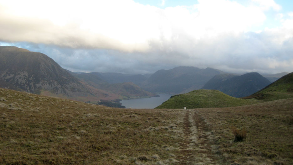
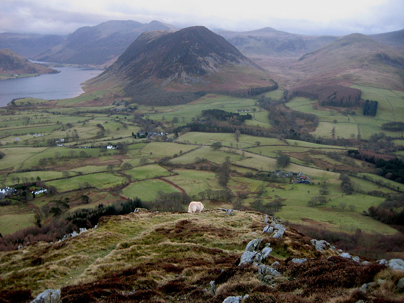
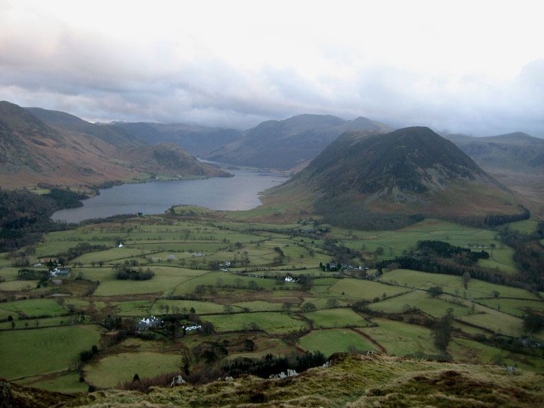
Beyond the cairn is the viewpoint, always worth the small diversion for the full view down into the valley. Mellbreak and the High Stile ridge directly ahead, Crummock to the left, Mosedale to the right with Starling Dodd at the end. And for those that know this valley well, you will also spot Foulsyke House, the Vicarage, the Church, the Kirkstile Inn and our cottage !
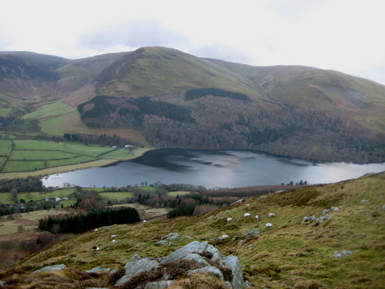
Looking to my right we have Loweswater below Carling Knott and Burnbank Fell.
A final shot of my favourite local view again, this time Buttermere lake can be seen beyond Crummock, behind Rannerdale Knotts. Time to turn around and yomp back along the ridge to the car. - - - o o o - - - |
Technical note: Pictures taken with Ann's Canon 75 digital camera. Resized in Photoshop, and built up on a Dreamweaver web builder. This site best viewed with . . . time to descend before it got dark ! Go to Top . . . © RmH.2011 . . . Email me here Previous walk - 10th February 2011 Sunny Ling Fell A previous time up here - 24th August 2007 Two Loweswater Walks Next event - 12th - 14th February 2011 The 2011 Tethera Play - re-build
|