![]()

Remember: Press F11 for a full
screen view of this page.
|
|
|
Remember: Press F11 for a full
screen view of this page. |
|
Rannerdale Knotts . . . Feb 1st. Date & start time: Tuesday 1st February 2011, 3.15 pm start. ( NY 173 173 ) Location of Start : The National Trust car park, Buttermere, Cumbria, Uk Places visited : High House Crag, Low Bank, Rannerdale Knotts and back. Walk details : 2.9 mls, 915 ft of ascent, 1 hrs 35 mins. Highest point : Rannerdale Knotts 1,160ft 355m. Walked with : Ann and the dogs, Harry and Bethan. Weather : Overcast with a cool breeze. Cloud on the tops.
|
Rannerdale Knotts at EveryTrail [ Alter the settings to zoom or change the Map style, use Everytrail to download the Gps route ] |
|
Following a morning working in the garden and a very pleasant lunch, it was time to get the dogs out for a walk. We needed to get to Buttermere at some point soon so a walk in that direction seemed a good idea.
Blue skies high above the central fells had made it a pleasant morning, but the cloud is slowly drifting across and one-by-one hiding the tops as the day goes on.
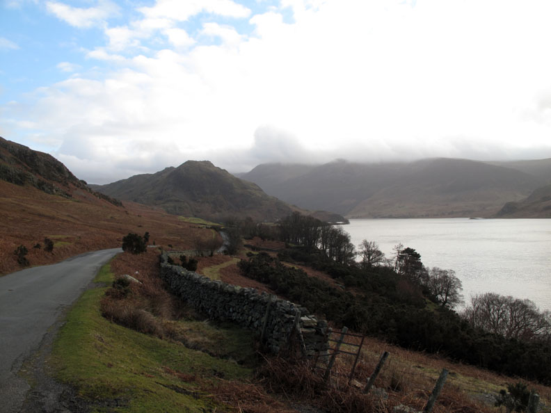
We park at the National Trust car park at Buttermere for a change. Normally we part at Hause Point and get straight into the climb up the front. For those that like the coincidence of numbers, the map reference of the start today is 173 173.
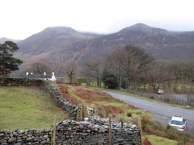
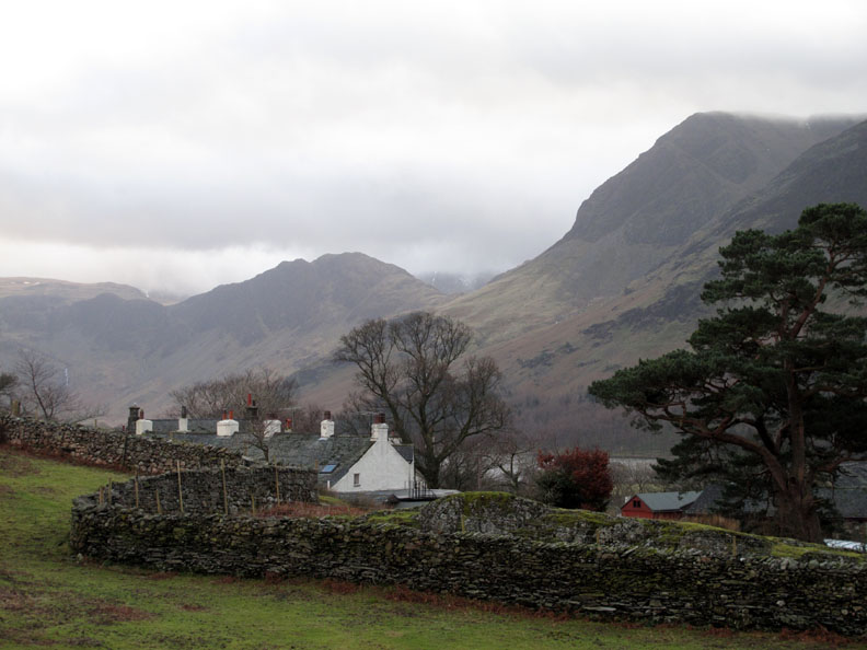
Looking over Crag Cottages at the familiar outline of Haystacks against a backdrop of cloud.
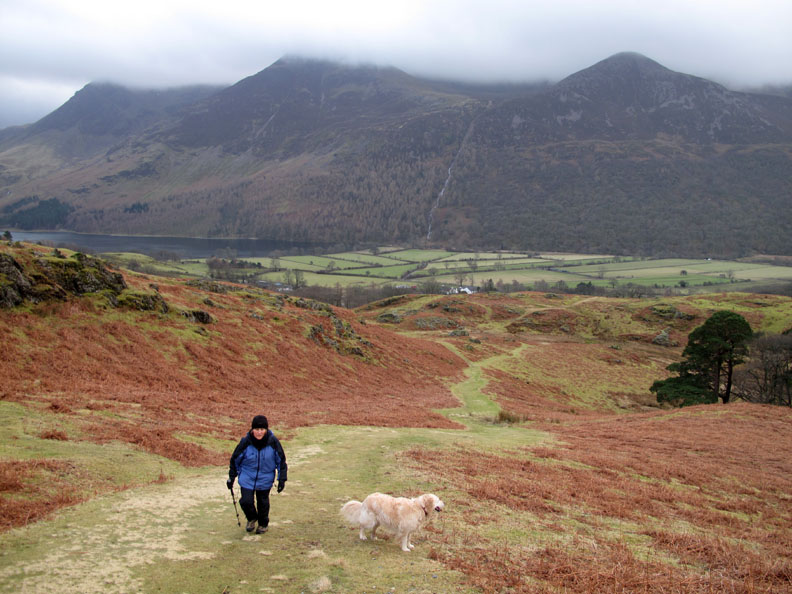
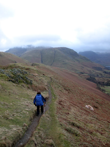
Ann makes her way up the thin green path towards the ridge of Low Bank ahead. The dogs, seen as a white smudge close to Grassgarth Coppice, don't seem bothered by the etiquette of paths.
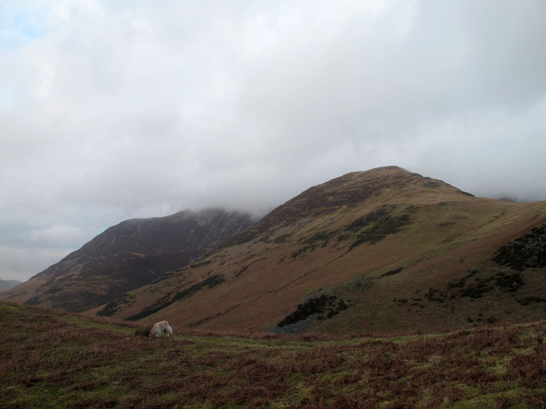
With the undulations of the climb we enjoy occasional views of the fells around as they appear and disappear between the rock outcrops and bracken covered humps. This is High Snockrigg, the start of the climb up to Robinson, which is still out of sight behind it.
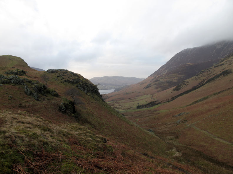
Three peaks behind Ann . . . High Crag, High Stile and Dodd. Red Pike is already 'head in the clouds'.
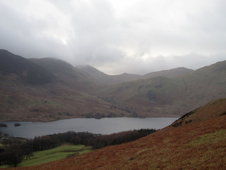
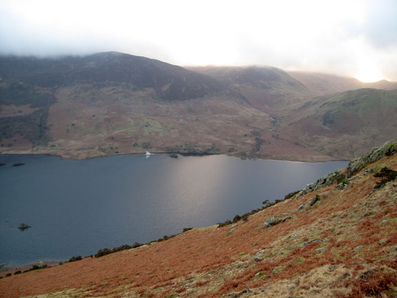
Nearly on the ridge now and we are looking across Crummock towards Great Borne, Floutern Cop and Gavel.
The last of the climb done for now as we top the ridge and get full views of Whiteless Pike and Grasmoor.
It is the multiple bumps and crags that gives Rannerdale its name 'Knotts'. It is formed by an intrusion of hard Skiddaw Slate which survived the erosive effects of glaciation. The same outcrop presumably created Low and High Ling Crags on the shore of Crummock Water opposite the end of this ridge.
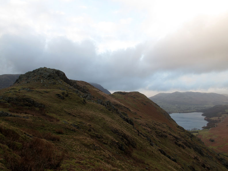
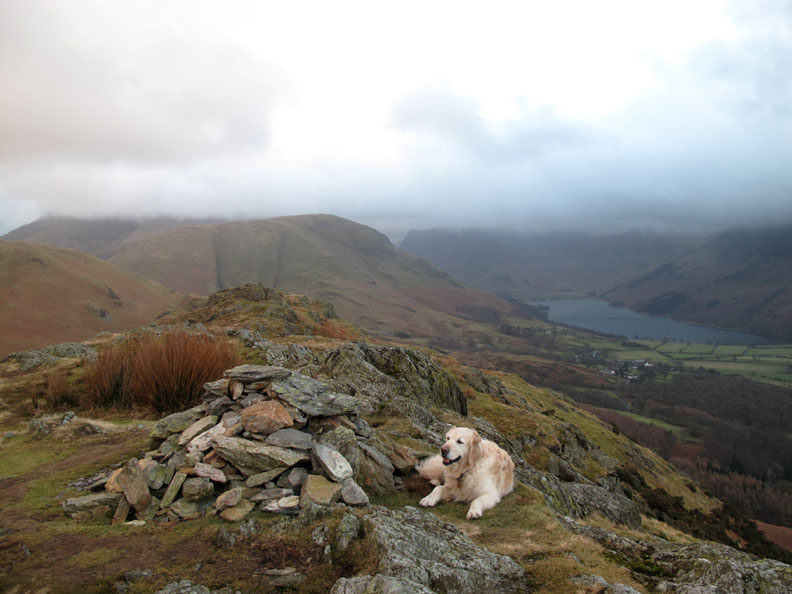
The second summit of the Knotts. There was more sunshine on Low Fell than there is here, though the photo doesn't really show it.
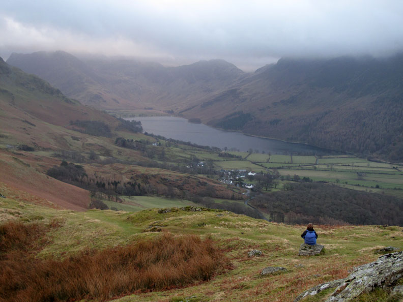
Sometimes I sit and think . . . sometimes I just sit ! Ann obviously in contemplative mood as she looks up the valley to the mist-covered fells.
Nearing the summit . . . all is peace and quiet . . . apart from the sudden roar of a Eurofighter aircraft flying down the valley. ( Sorry, no time to take a close up) . . . This brings the tally to four aircraft types today. Chinook, Tucano, a Hawk and this Typhoon. No peace for the wicked.
By the time we reach the top all is quiet again.
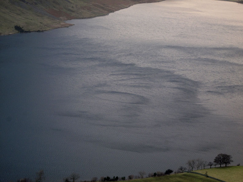
Time to stop and admire the patterns created by the wind as it blows down the valley and creates ripple effects on the water.
The influence of the imposing bulk of Mellbreak on the strong south-westerly breeze causes vertical downdrafts that produce almost circular rings on the water.
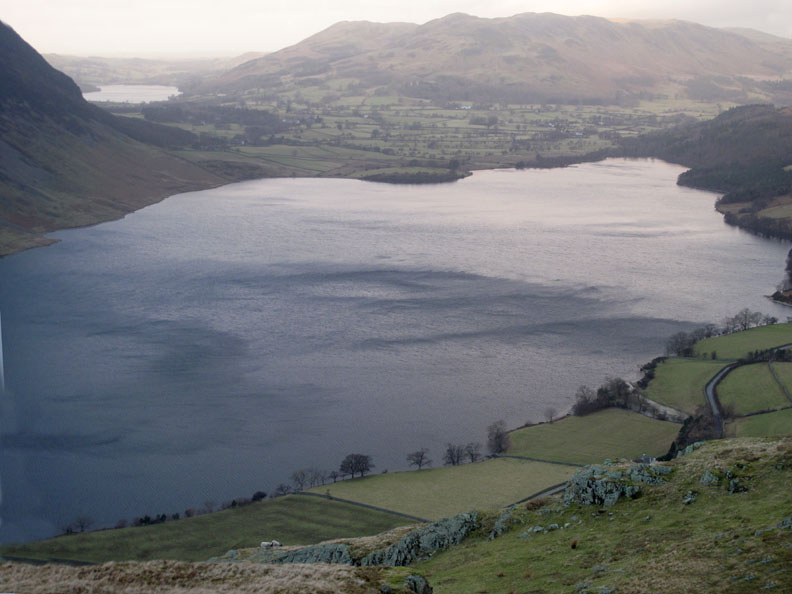
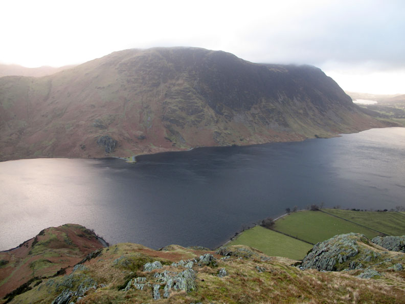
Zooming out to enjoy the full aspect of Mellbreak. High and Low Ling Crags can be seen on the opposite shore, directly in line with Hause Point below.
A fan delta where the debris of the Scale Force and Floutern Valleys has been deposited in the lake . . . This is sounding a bit like a geography lesson . . . blame it on Peter Wilson who sent me his book recently, all about Lake district Landforms ! More information in due course . . . once I've finished reading it.
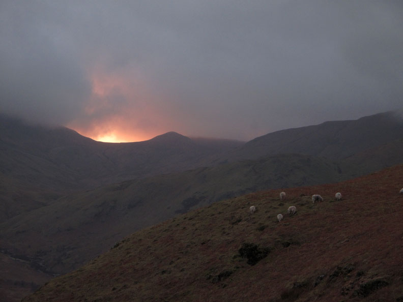
After spending much of the afternoon being covered and then uncovered by cloud Floutern Cop has one last dramatic stand, back-lit by the low sun. Time is getting on. The sunset is noticeably later now but there's still no stopping it at the end of each afternoon. Just time to pop into Syke Farm before we drive back home. - - - o o o - - - |
Technical note: Pictures taken with my Canon G10 digital camera. Resized in Photoshop, and built up on a Dreamweaver web builder. This site best viewed with . . . a slightly better weather forecast than they are promising for the next few days ! Go to Top . . . © RmH.2011 . . . Email us here Previous walk - 30th January 2011 Buckbarrow and Seatallan with Ian A previous time up here - 30th June 2008 Rannerdale Knotts afternoon Next walk - 7th February 2011 Damp Mosedale and Cogra Moss
|