![]()

Remember: Press F11 for a full
screen view of this page.
|
|
|
Remember: Press F11 for a full
screen view of this page. |
|
Sale Fell from St Margaret's Church Date & start time: Monday 17th January 2011, 2.30 pm start. Location of Start : Adjacent to St Margaret's Church, Wythop, Cumbria, Uk ( NY 191 302 ) Places visited : Dodd Crag, Sale Fell, The Rivings, Lothwaite End and back. Walk details : 2.85 mls, 880 ft of ascent, 1 hr 40 mins. Highest point : Sale Fell 1167 ft - 359 m. Walked with : Ann and the dogs, Harry and Bethan. Weather : A lovely sunny afternoon but cold in the shadow of the fell. [ Alter the settings to zoom or change the Map, use Everytrail to download the Gps route ] |
|
Another lovely blue sky afternoon again (these really are a lot nicer than the rainy ones). We drive a short distance to the top of Bass Lake and enjoy a circular walk around Sale Fell.
On the way there we pass St Cuthbert's Church, 3/4 mile south of the village of Embleton, built 1806, and remodelled 1884. A classic little church with Yew trees in the grounds and a small detached building, probably the Church Sunday School, close by.
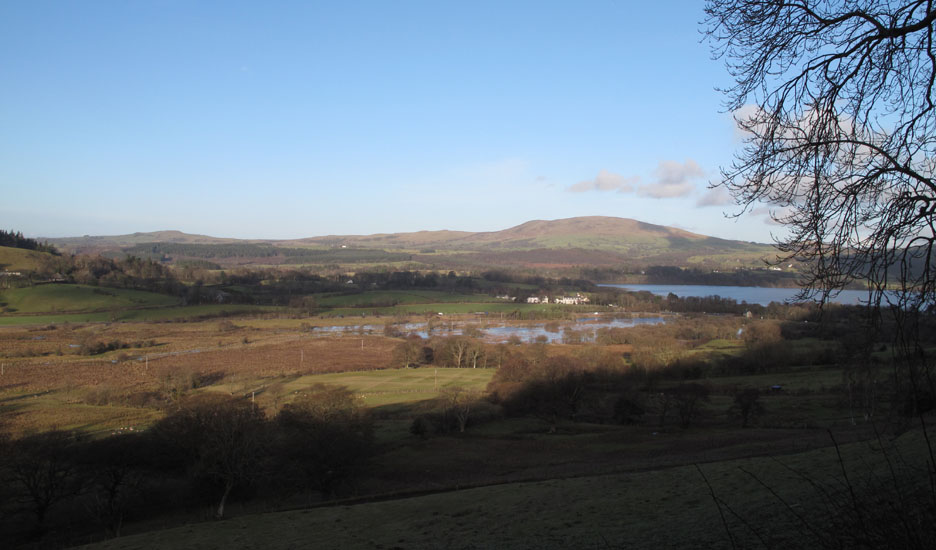
From the road alongside the other local church, St Margaret's we look out over a flooded Routenbeck nature reserve and across to Binsey.
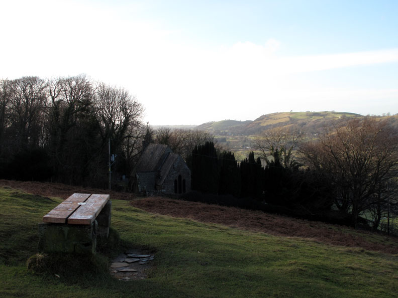
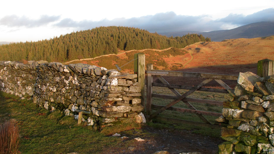
The path up Sale Fell from this side climbs past the church where there is a handy seat to stop and enjoy the expansive view if you haven't done so already.
To the right, once passed the trees, we can look over Embleton Village. Watch Hill and forested Smetmurthy Common are the second set of low hills to the north, the grass area on top of the first is unnamed but it is the location of Cockermouth Golf Club.
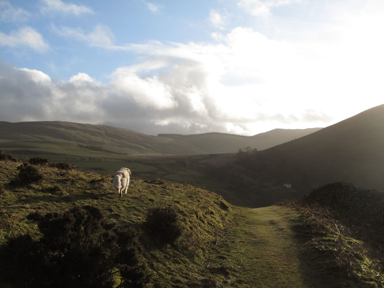
Reaching the top of the rise, the path to Kelswick Farm drops down the other side and follows the fell side round. We'll take a sharp left here and follow up the ridge towards the summit.
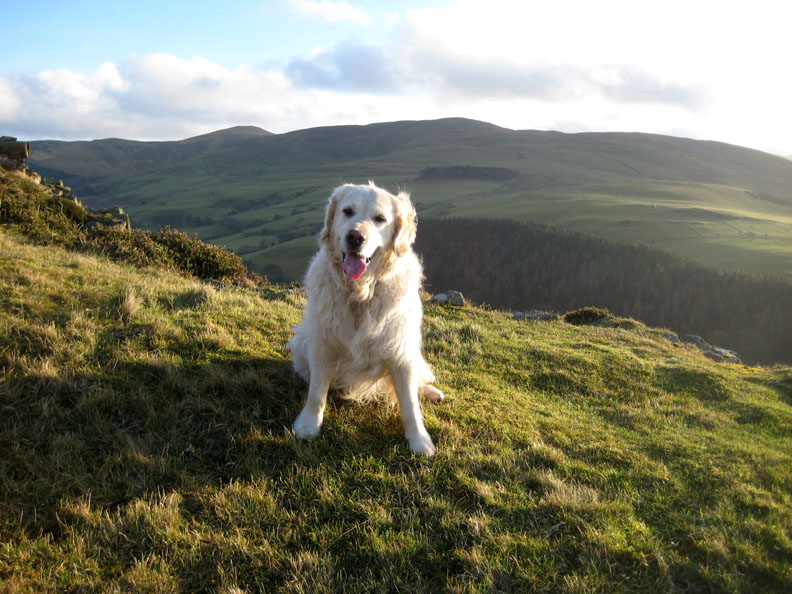
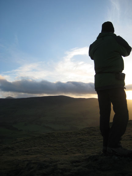
Harry looking pleased to be out.
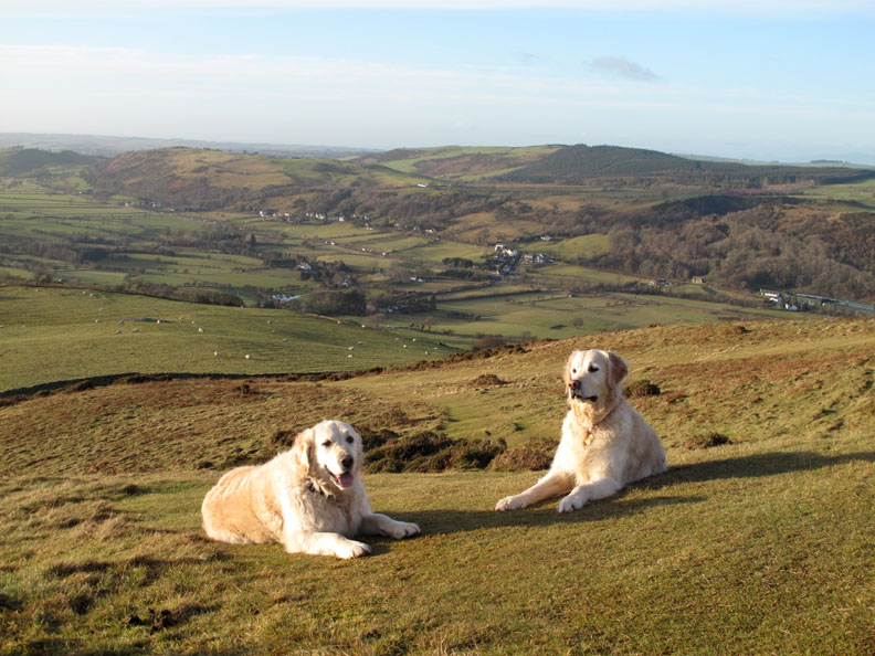
Time for another photo session . . . I thought I would include Embleton behind, but of course I've already shown you that. How about both looking this way for the camera at the same time ? [ Move your cursor over the photo to see if they cared about the photographer ! ]
Climbing up gently past the small outcrop known as Dodd Crags.
Zooming in on the distant and more well known Great Dodd on the ridge leading up to Helvellyn.
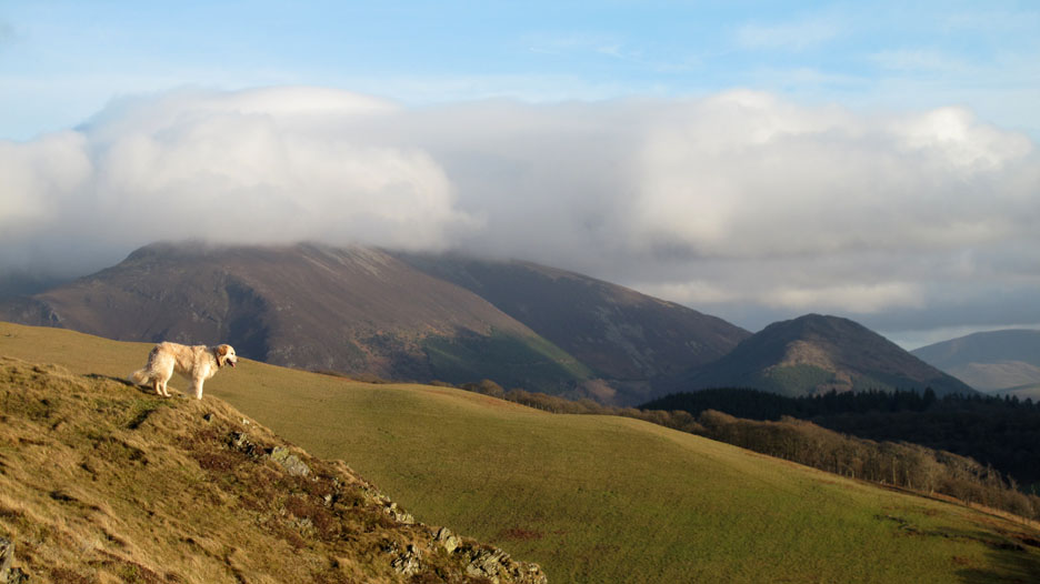
Bethan this time . . . looking down on the view. Ullock Pike has a fine head of cloud on it and there's yet another Dodd, this time one on the side of Skiddaw.
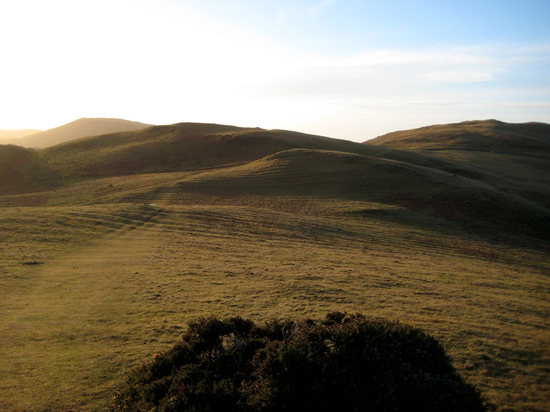
The undulating ridge leading to the top of Sale Fell.
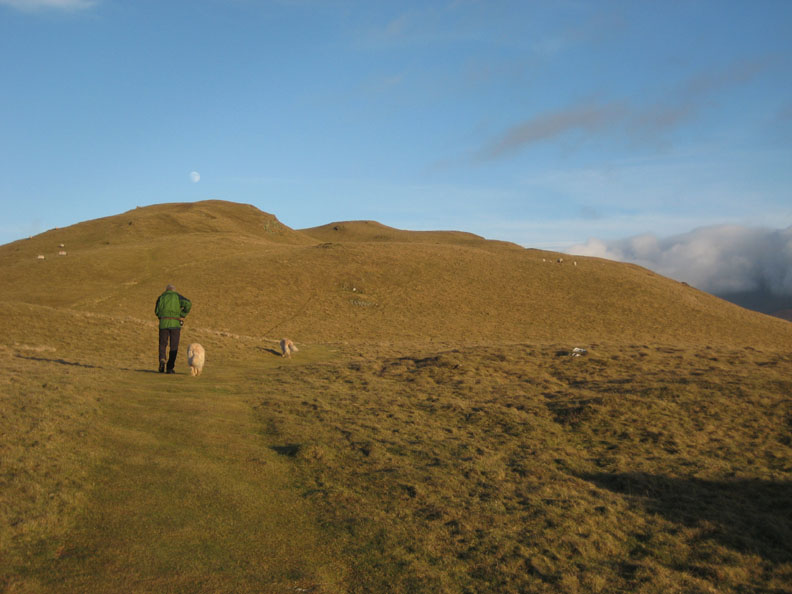
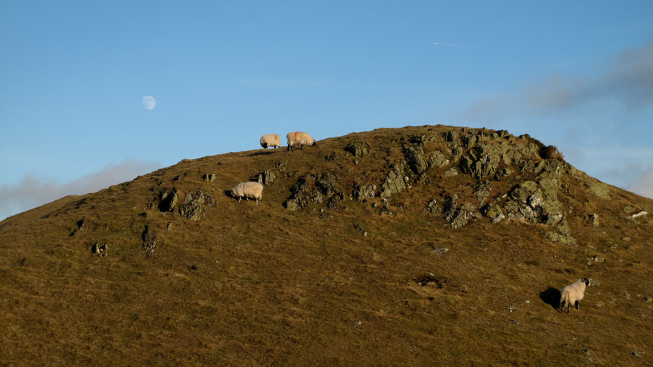
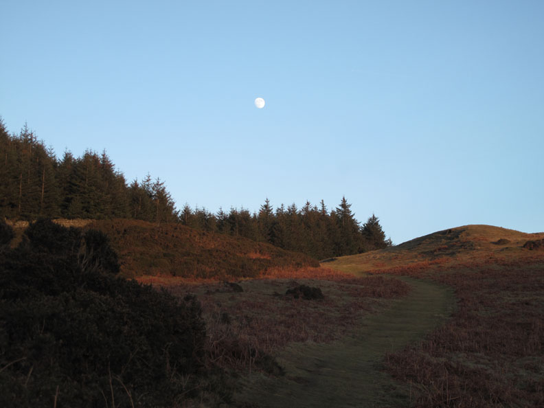
The big moon rises over the summit of the fell as a runner and a fellow walker climb ahead of us.
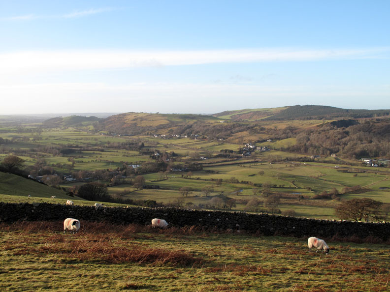
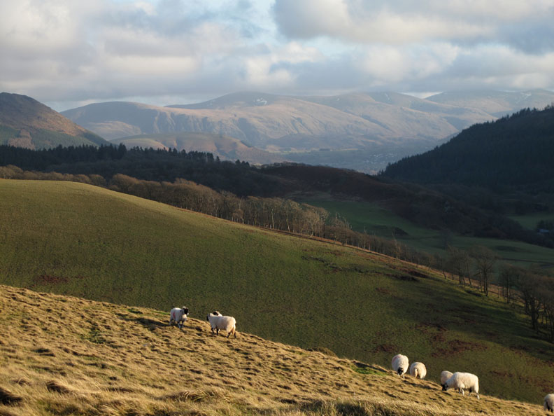
Sheep may safely graze . . . Note the aircraft flying over . . . moisture levels must be low as there is hardly a vapour trail left behind it.
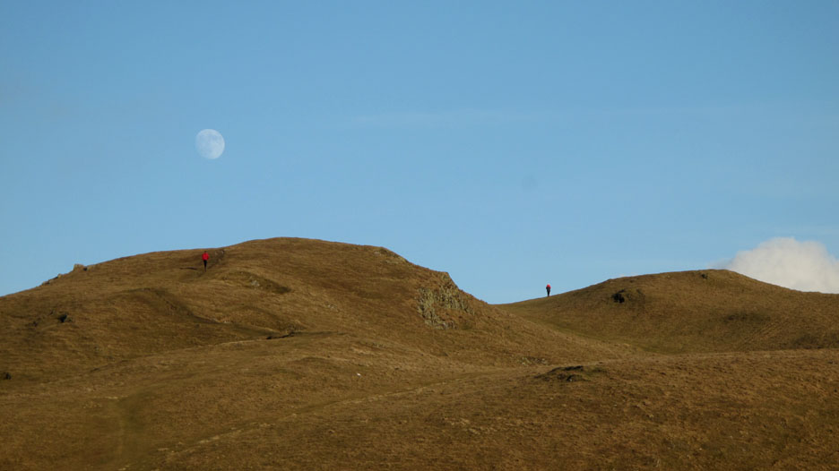
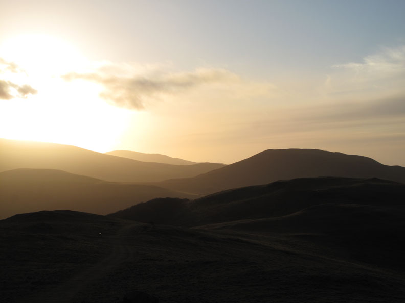
Another photo . . . another song . . . "Fly me to the Moon".
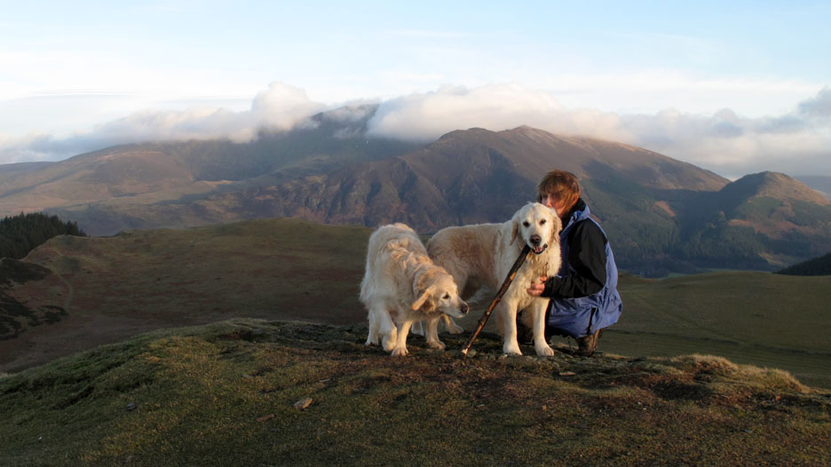
The summit of Sale Fell with the three loves of my life !
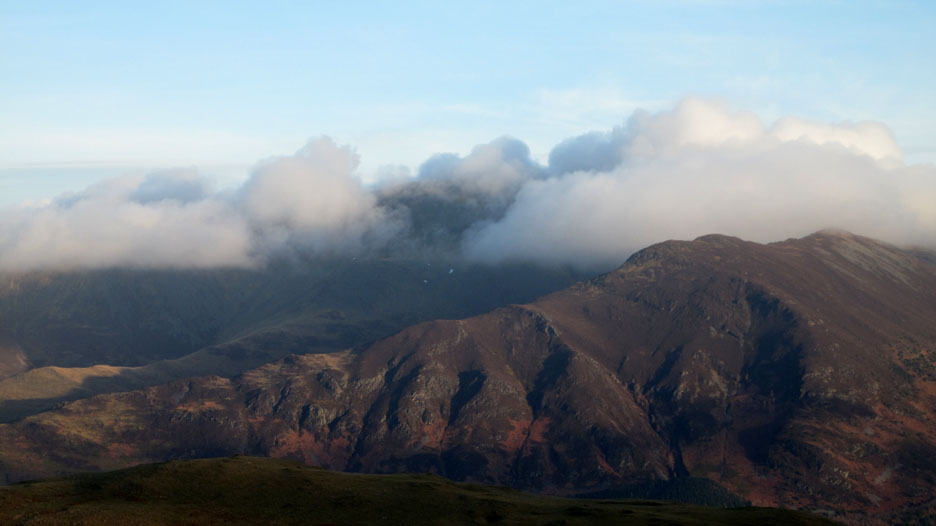
Clouds and Rocks . . . Colour and Form . . . Skiddaw and Ullock Pike.
From the grassy top of Sale we cut down to the old field gate. Ahead is the area known as the Rivings and beyond it the trees of Wythop Woods.
Looking back at the summit of Sale Fell off to the right. Evidence of historic cultivation (ploughing) can be seen on the more level parts of the grassland on the way across.
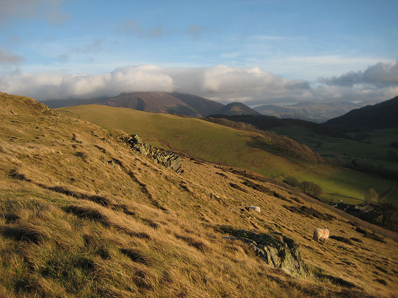
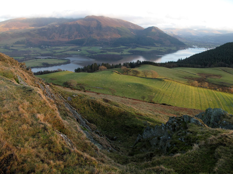
Marked on the map as an old quarry . . . This was the view looking down on Lothwaite fields and Ladies Table Woods, with Bassenthwaite Lake beyond.
Stronger sunshine adds more colour to the fields.
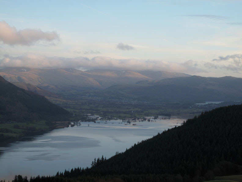
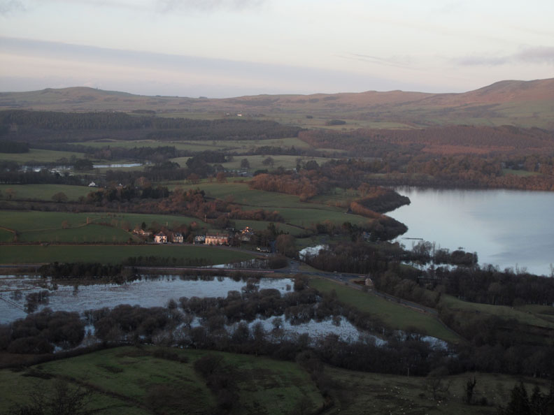
Zooming in on the flooded top end of the lake and cloud covered Helvellyn beyond. In between, lost slightly in the distant gloom, is the town of Keswick.
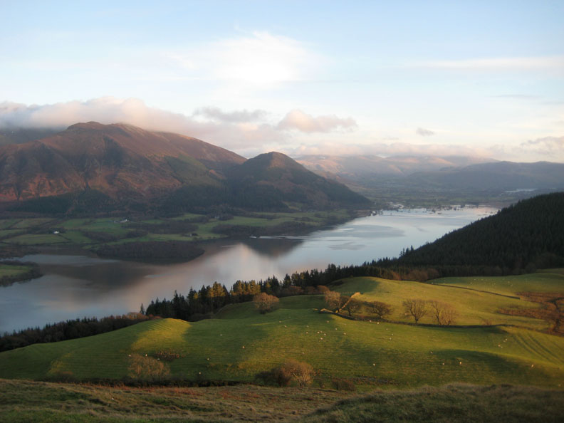
My eye was caught by the many colourful folds in the landscape all with varying amounts of golden tinge in the afternoon light.
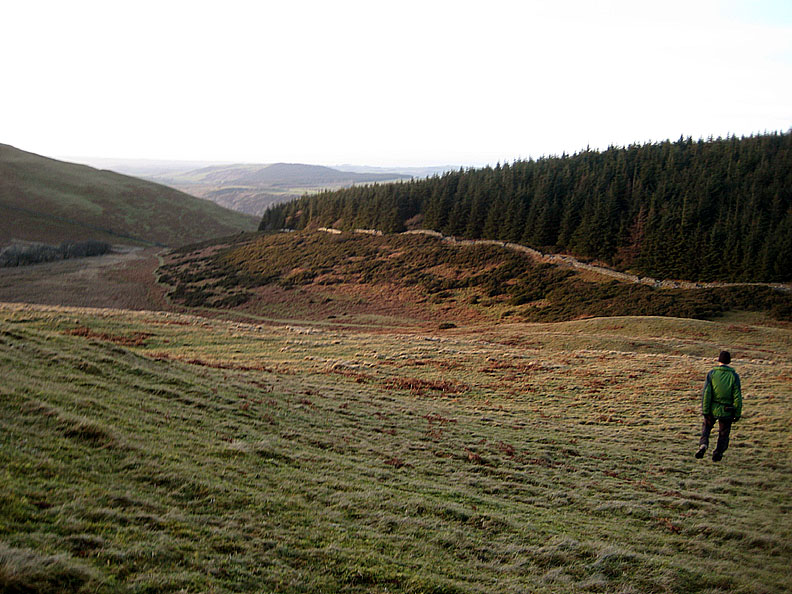
To complete the circular walk we head back down from the end of the Rivings / Lothwaite minor ridge and pick up the path back to the Church below the forest wall ahead.
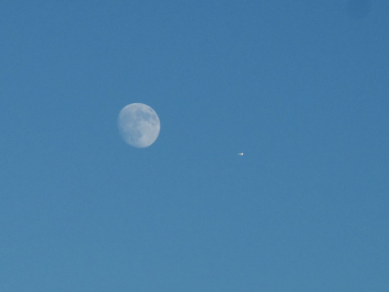
Looking back, that moon is still there, shining bright white in the deep blue sky.
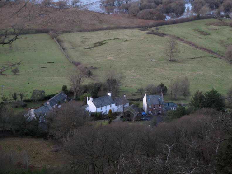
Down below as we round the fell, the houses of Routenbeck. Beyond them we can see the flooded reed beds of the Routenbeck Nature Reserve again.
The houses of Dubwath and the bottom of Bassenthwaite Lake. The water in the distance, a few fields over, is the River Derwent as it leaves the lake heading for Cockermouth.
Round the fellside again so we regain our view of Embleton. It's a short drop down now past the viewpoint chair and the Church, back to the car. - - - o o o - - - |
||
Technical note: Pictures taken with either Ann's Canon 75 or my Canon G10 digital camera. Resized in Photoshop, and built up on a Dreamweaver web builder. This site best viewed with . . . a holiday ticket booked for one of those big aeroplanes. Go to Top . . . © RmH.2011 . . . Email me here Previous walk - 16th January 2011 Great How ~ Thirlmere A previous time up here - Sunday 18th Oct 2009 Routenbeck & Sale Fell Next walk - 19th January 2011 Hen Comb and Sunset
|