![]()

Remember: Press F11 for a full
screen view of this page.
|
|
|
Remember: Press F11 for a full
screen view of this page. |
|
Buttermere and Fangs Brow Date & start time: Wednesday 8th December 2010. Location of Start : The red phone box, Loweswater , Cumbria, Uk ( NY 143 211 ) Places visited : Buttermere and Honister Valley plus Fangs Brow in Loweswater Walk details : A drive and a short walk followed by a 2 mile late afternoon stroll. Highest point : The relative warmth of the afternoon sun ! Walked with : Ann and the dogs, Harry and Bethan. Weather : Blue and White with some late yellow. [ Alter the settings to zoom or change the Map, use Everytrail to download the Gps route ] |
|
Following my morning walk to Rannerdale, Ann and I take a car ride up to the bottom of Honister Pass and enjoy some late and predictable sunshine on another Fangs Brow walk.
Our friend Richard had asked us if Honister Pass was open at the present time . . . we said no . . . but decided it would be a nice place to drive to in order to enjoy the views of Buttermere under snow. Lets see how far we get . . .
This is the top end of Crummock Water looking over to Red Pike and High Stile Crummock is regarded as one of the deeper Cumbrian Lakes so there's a fair reservoir of heat held in the water. As a result it hasn't really shown signs of freezing over like some of the other lakes.
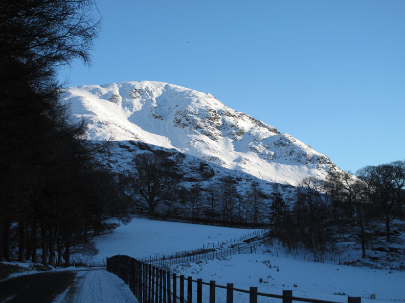
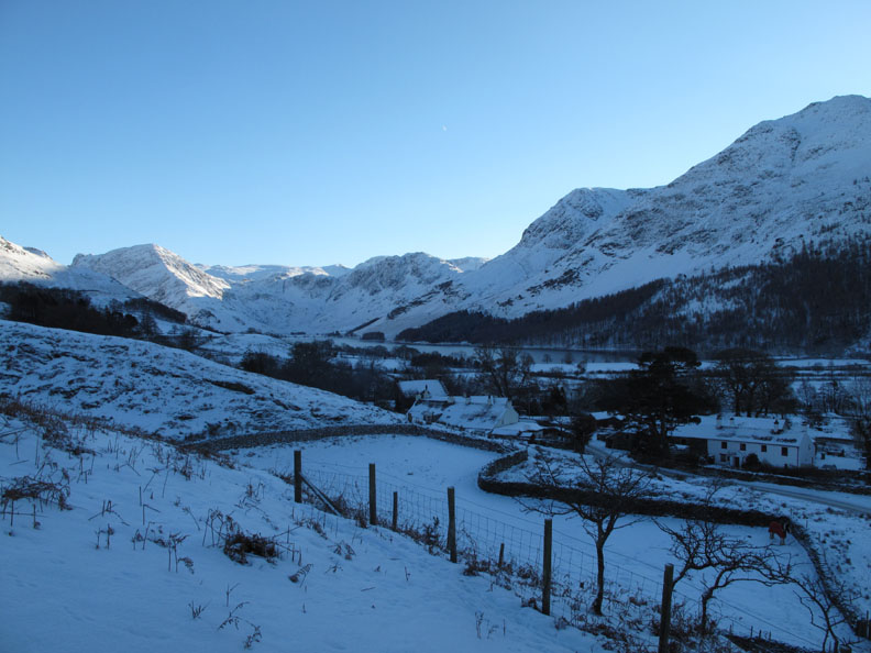
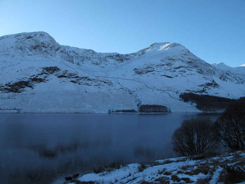
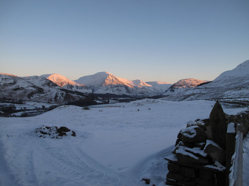
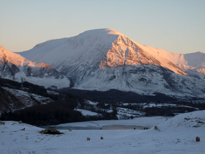
This was the alpine-like view as we rounded the bend by Wood House. The snow covered slopes go by the name of High Snockrigg.
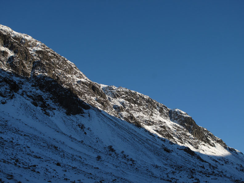
A brief stop for a photo of High Crag seen over the deserted National Trust car park. Those people who were out for a walk had parked on the roadside to avoid getting stuck in the snow covered parking area.
Sunshine on the high fells . . . but the valley is shaded by them as a result.
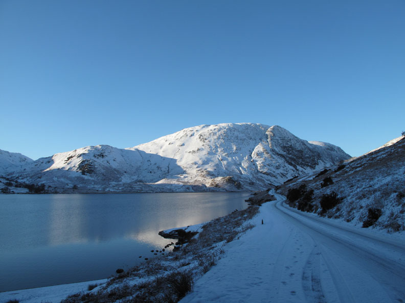
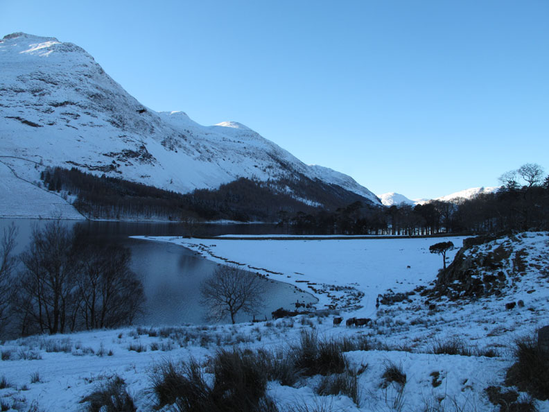
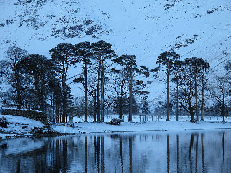
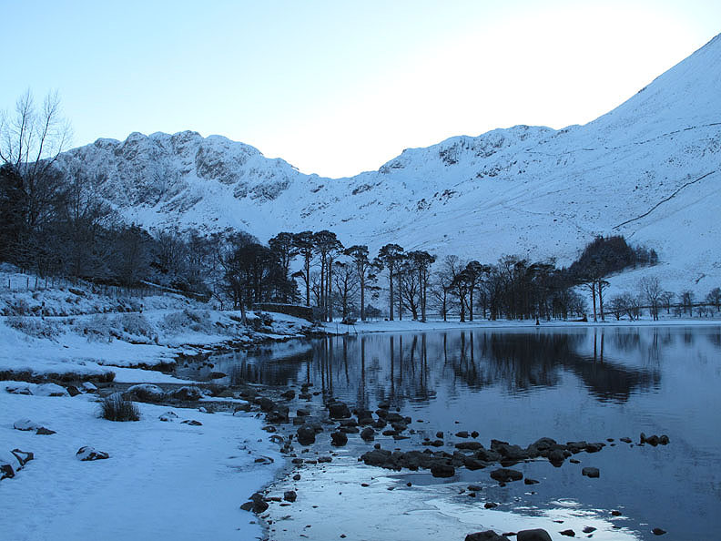
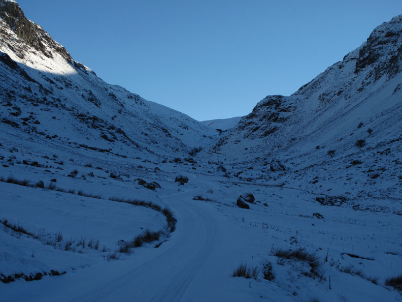
Buttermere now and the road is still passable with care. Who said snow and ice is white . . . its true colour is more likely to be blue !
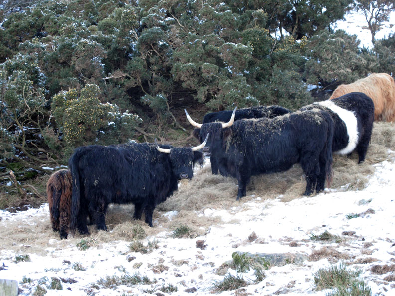
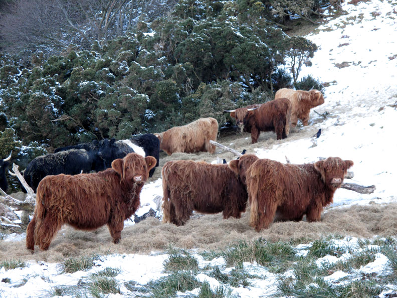
Galloway cattle enjoying some extra winter feed . . . in the company of some Highlands too. These are pretty hardy animals, capable of living outdoors even in the coldest winter but still they need some extra feed to help them through the cold spell . . . and it's still only December.
Feed is going to be a problem for farmers this year if the cold weather lasts as long as last year. They were not able to grow as much as they normally do in what was a very short growing season in 2010.
Looking around . . . they do at least have a nice winter view to accompany their lunch. These are the fells of High Crag and High Stile seen across Crummock Water.
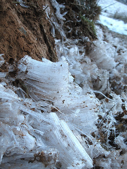
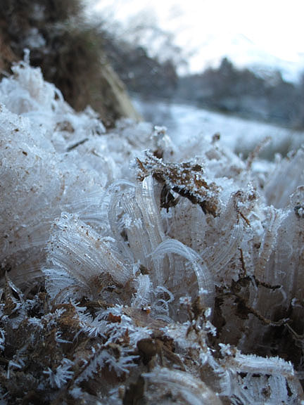
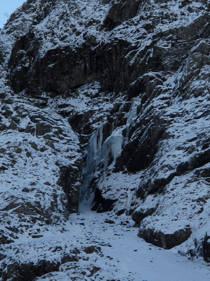
The moisture has frozen into extended crystals and broken up the surface soil, lifting gravel and leaves several inches into the air. With the surface structure destroyed, the path will be liable to extra erosion once the melt sets in.
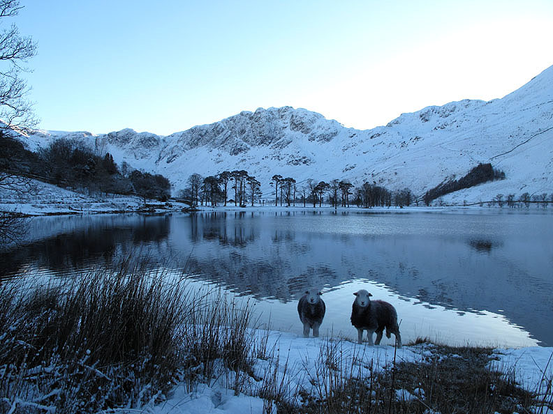
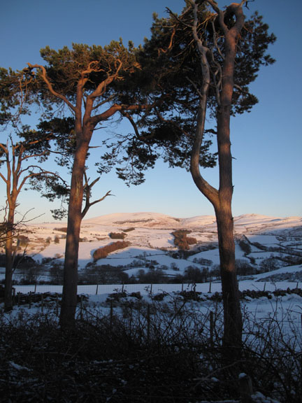
One for Jayne . . . The Buttermere Pines with a couple of stocky Herdwick Sheep paying me attention as I stop and take their photo.
A study in (almost) black and white.
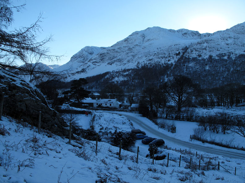
Sunshine to the west but the valley is in quite deep shadow, even more than the camera suggests.
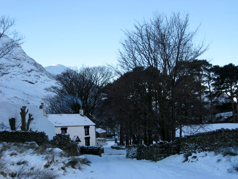
The last house up the valley . . . Gatesgarth Cottage. The lady is keeping a nice fire in the hearth by the look of it.
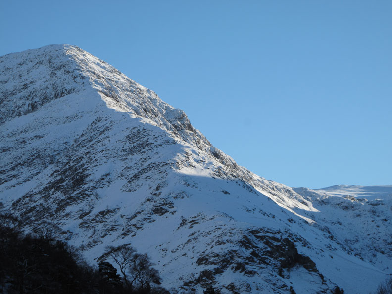
Sunshine on Fleetwith Pike beyond the last of the houses.
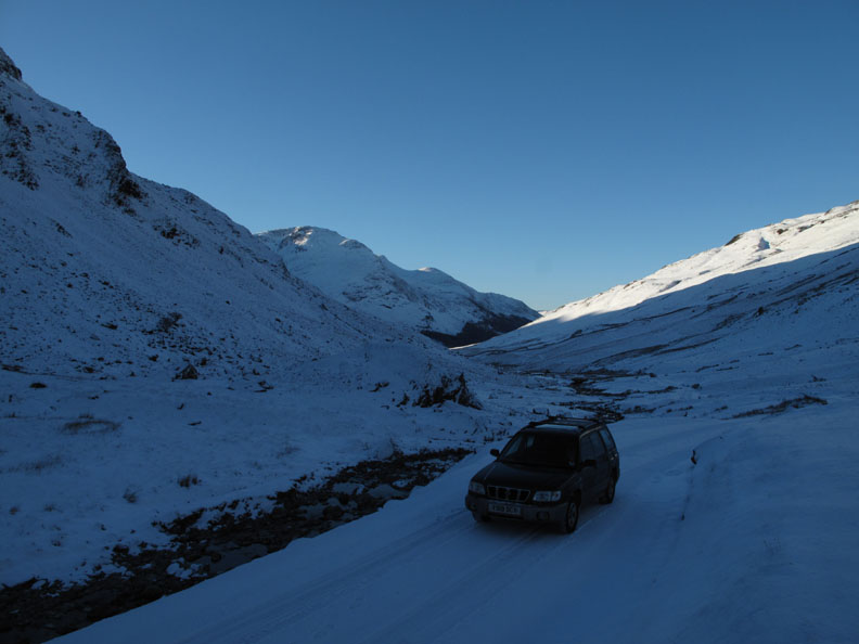
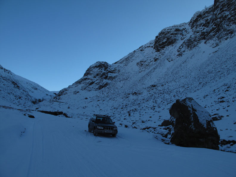
Driving is not too difficult as the soft snow provides more traction than ice. Even from here I think we can confirm that the road up the pass will be impassable.
Equal numbers of tracks on the road. Those that had driven up here before us has left equivalent tyre marks as they drove back down the valley.
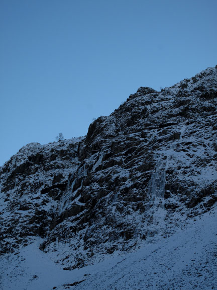
Yew Crags and sunshine on the old slate quarries on the left hand side of Honister.
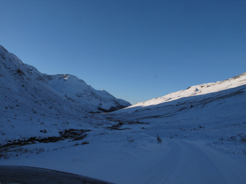
The end of the road today . . . time to turn around . . .
. . . and make our way back down the valley.
The valley was extremely cold so Ann and I decide to find somewhere warmer for a walk this afternoon. - - - o o o - - -
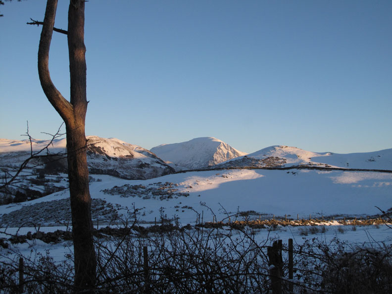
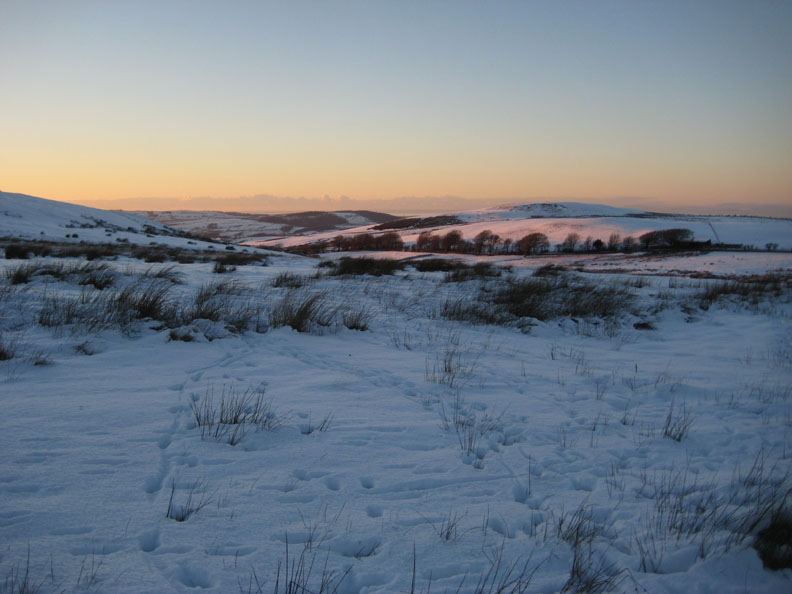
Grasmoor stands out between Low Fell and the slopes of Burnbank Fell as we park the car on the high section of the road above the farm.
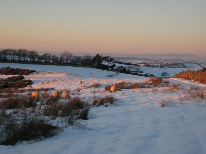
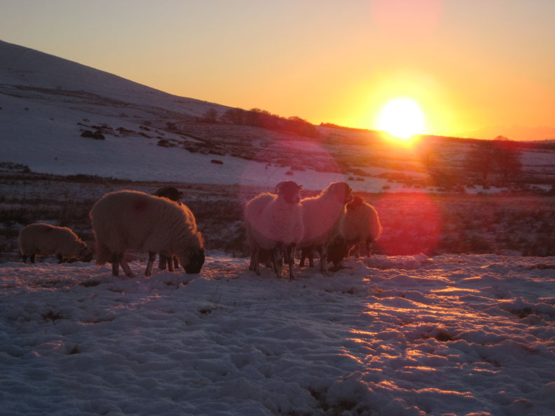
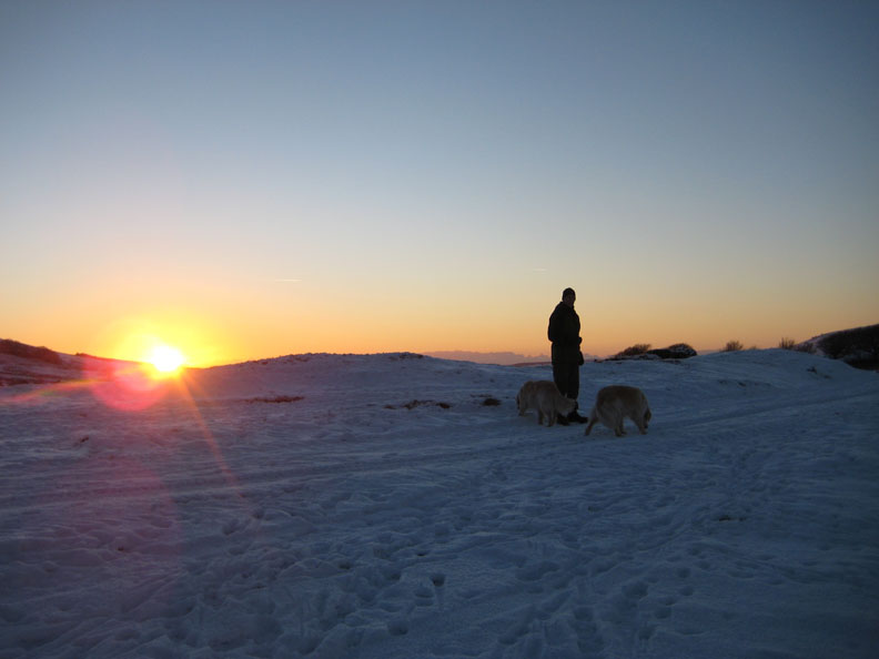
Sunshine and yellow sheep as opposed to the blue tint on the Buttermere Herdwicks.
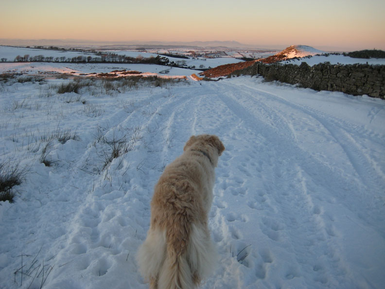
Criffel and the Scottish Lowlands can be seen due to the clear visibility today.
The only cloud in the sky is far to the west over the Irish Sea.
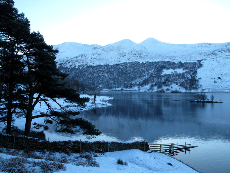
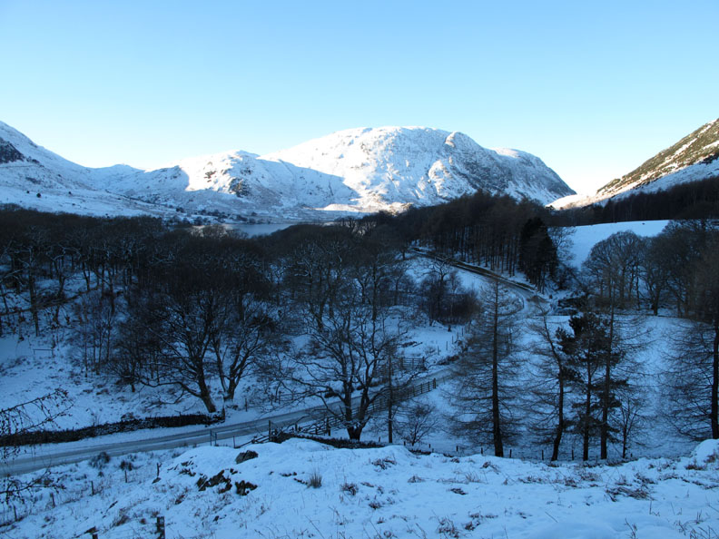
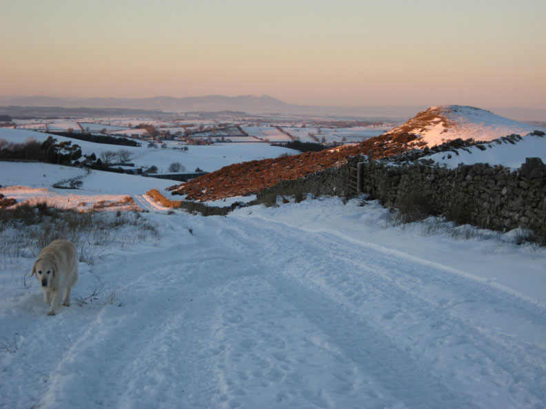
Following the Old Coffin Road we reach our first full view down into the Loweswater Valley.
The lake below us is frozen over, unlike Crummock Water to the right.
As we have walked into the shadow of Burnbank, and as it is getting closer to sunset at 4pm, we turn for home.
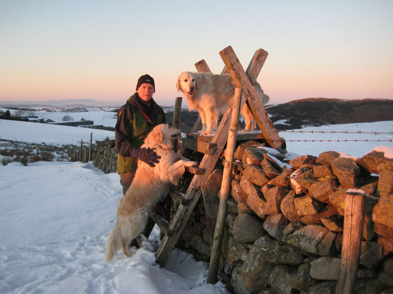
Back into the sunshine . . .
Photography with a certain amount of stile !
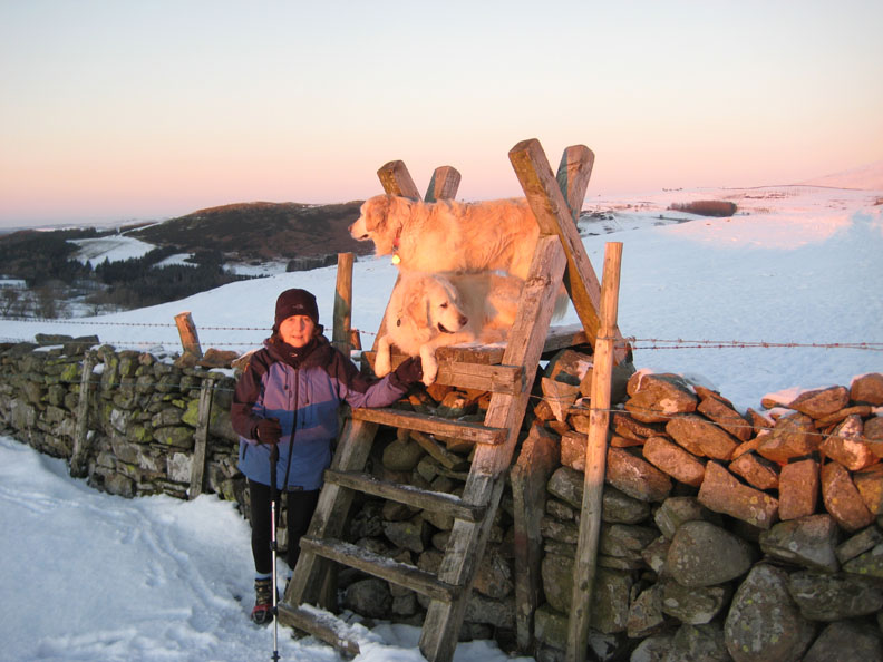
Ann swaps places for her December photo-shoot.
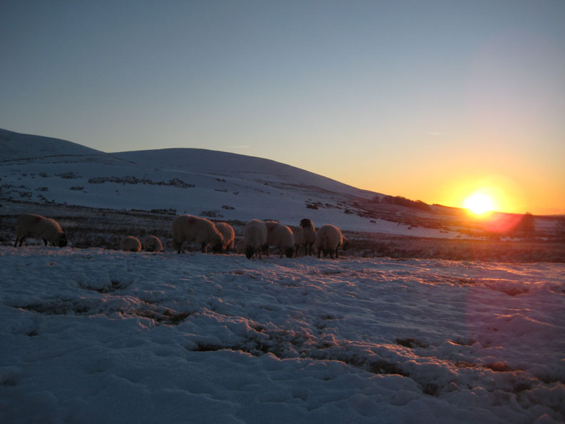
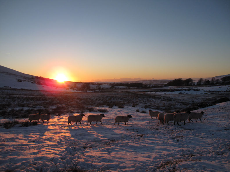
Sheep may safely graze . . . if they can find anything under the snow.
Our micro-spikes have been really useful again this year as they have stopped us from slipping on the ice hidden by the covering of dry snow.
And so back to the car and home after three outings in the day. - - - o o o - - - |
Technical note: Pictures taken with either Ann's Canon 75 or my Canon G10 digital camera. Resized in Photoshop, and built up on a Dreamweaver web builder. This site best viewed with . . . a well charged camera battery and a large memory card. © RmH.2010 # Email me here # or leave me a Guest Book Entry Previous walk - 8th December 2010 An early outing to Rannerdale A previous time up here - Saturday 25th July 2009 Family and Fangs Brow Next walk - 11th December 2010 Green Harrot Fell
|