![]()

Remember: Press F11 for a full
screen view of this page.
|
|
|
Remember: Press F11 for a full
screen view of this page. |
|
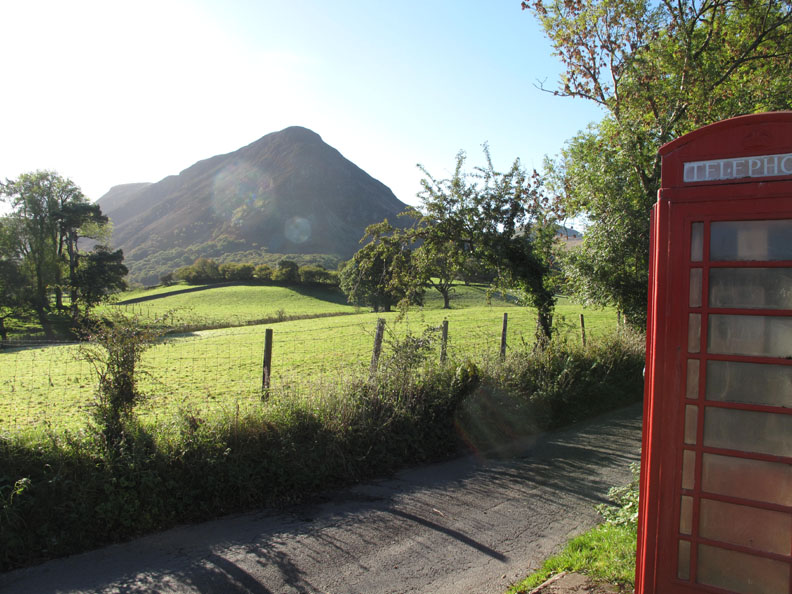
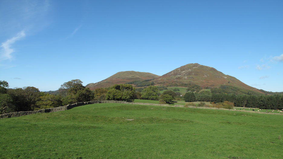
Mellbreak with Bethan Date & start time: Wednesday 20th October 2010, 11.05 am start. Location of Start : The red phone box, Loweswater , Cumbria, Uk ( NY 143 211 ) Places visited : Kirk head Farm, Mellbreak and back. Walk details : 3.5 mls, 1400 ft of ascent, 1 hr 45 mins. Highest point : Mellbreak north top 1654 ft - 509 m. Walked with : Myself and Bethan. Weather : Beautifully sunny, cloudless sky, cold in the shade. [ Alter the settings to zoom or change the Map, use Everytrail to download the Gps route ] |
|
The weather is brilliantly sunny again with not a cloud in the sky. Harry is off for a therapeutic"swim" this morning which leaves Bethan and I at home . . . but this weather is just too nice to stay indoors !
Location of Start : The red phone box, Loweswater , Cumbria, Uk ( NY 143 211 )
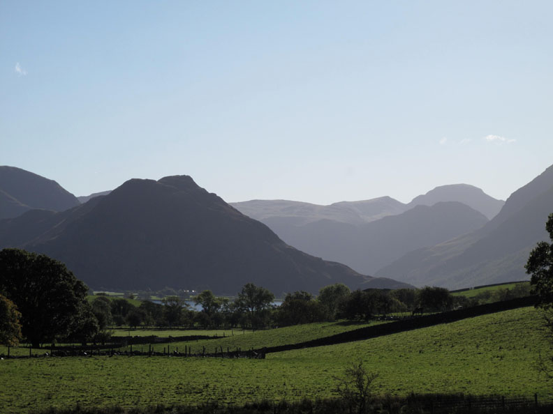
It is a second wonderful Autumnal day and the sun is high in a cloudless sky. All the fells at the head of the valley are clear, if a little mellowed by the valley haze.
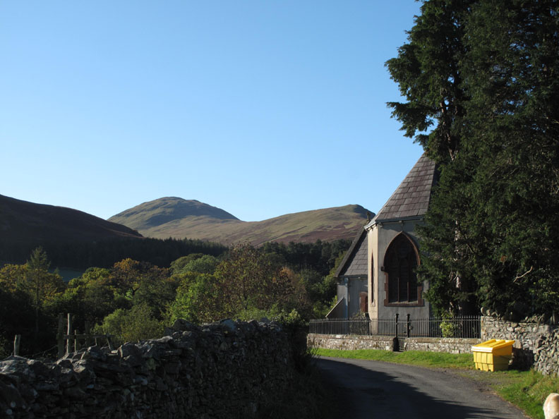
Hen Comb as I walk up past Loweswater Church.
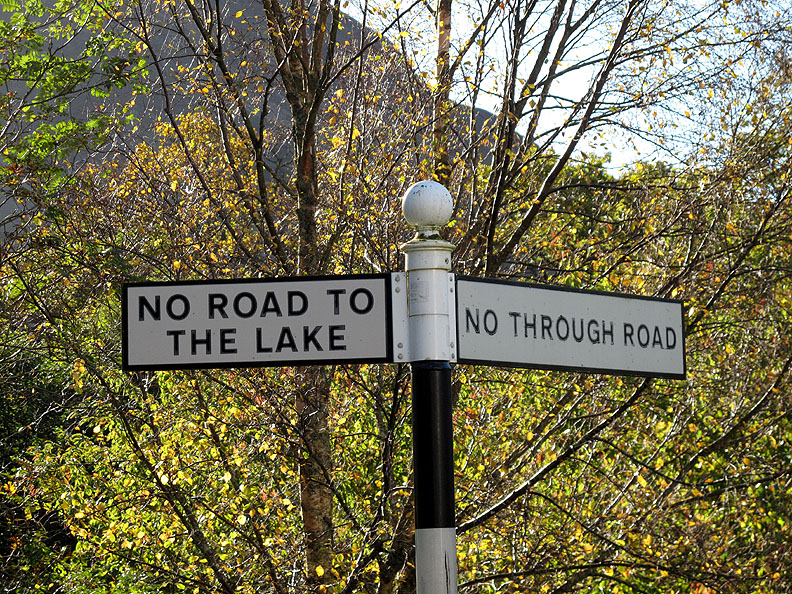
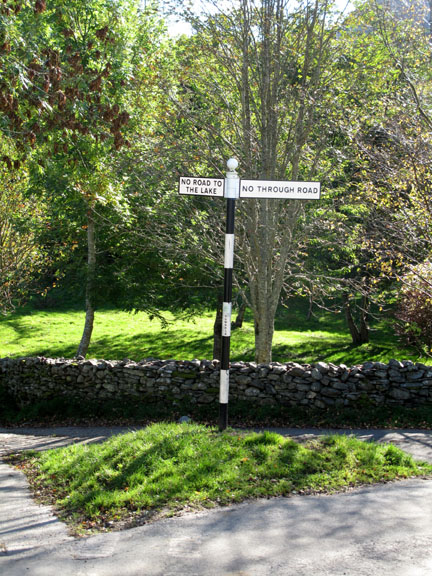
AW's Negative Signpost. Good job I didn't want help with navigation today !
The Kirkstile from near to Kirk Head Farm.
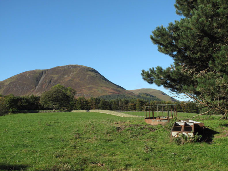
Carling Knott and Burnbank Fell from the start of the Mosedale Track.
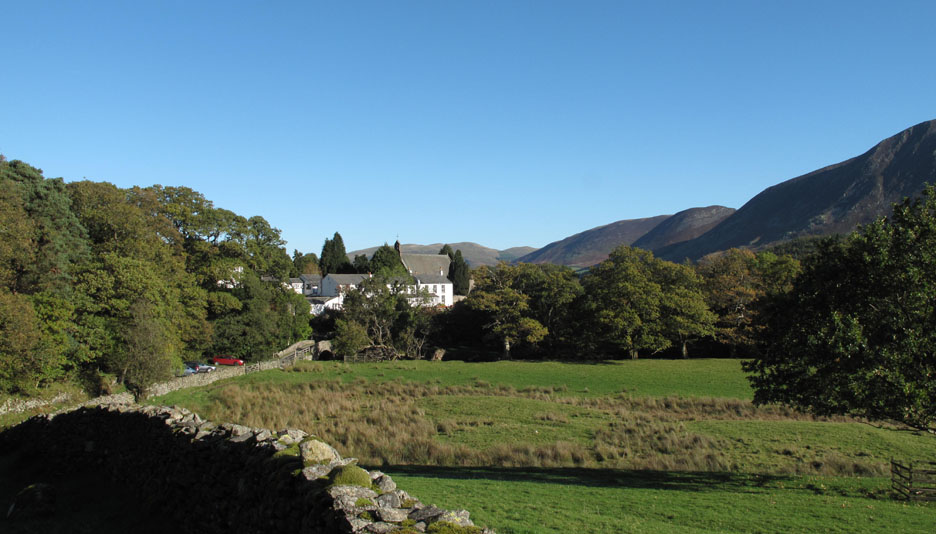
The houses at Low Park with Crummock Water behind.
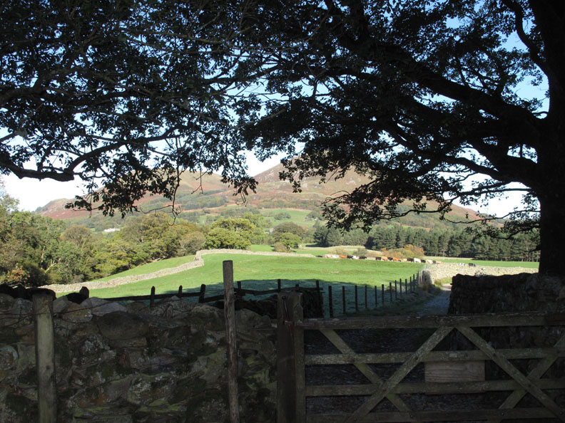
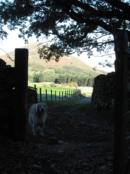
Looking back through the fell gate at Low Fell and Darling Fell beyond. Oh no . . . where's Bethan ?
I've always wondered how to photograph this section of the path which climbs rapidly from the gate and leads you to the base of Mellbreak. The low autumnal sun casting a long shadow just caught my eye today and answered my question.
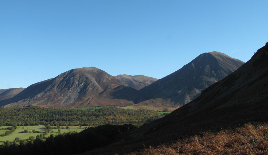
Looking across at Whiteside and Grasmoor.
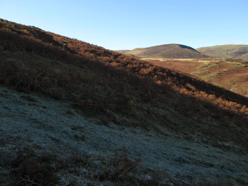
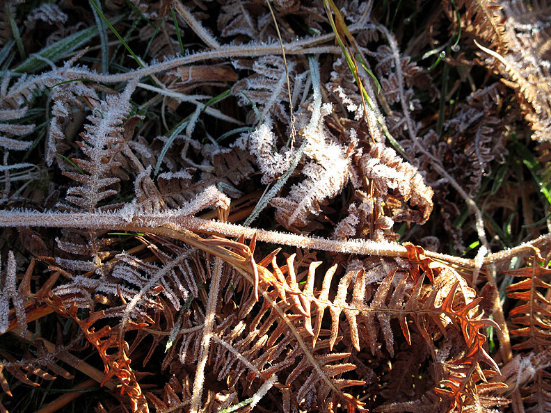
The sun had not reached under the northern end of the fell so the overnight frost still remained in the shadows. It was cold enough here for me to drag a pair of gloves out of my pocket and use them to good effect.
Ice crystals on the dying bracken.
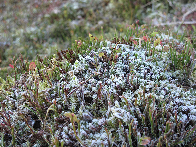
A frosting too on a patch of sphagnum moss nearby.
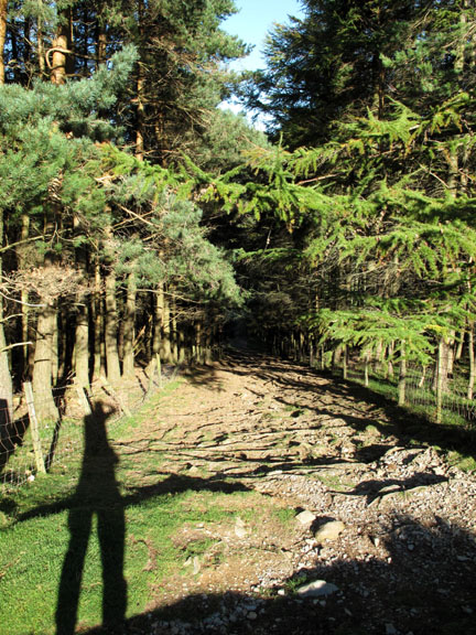
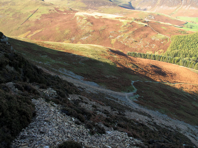
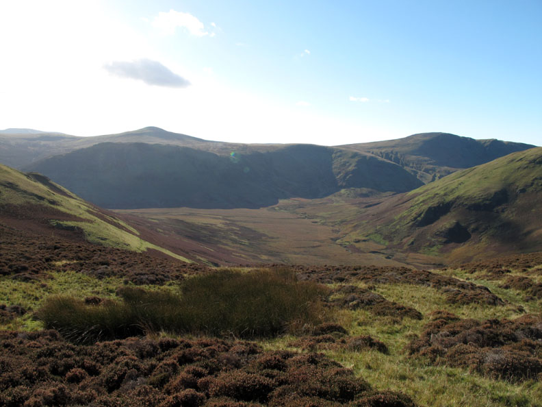
Climbing now and the washed out gully on the front of the fell has to be avoided but sufficient time has passed for a new path to develop . . . so no problem.
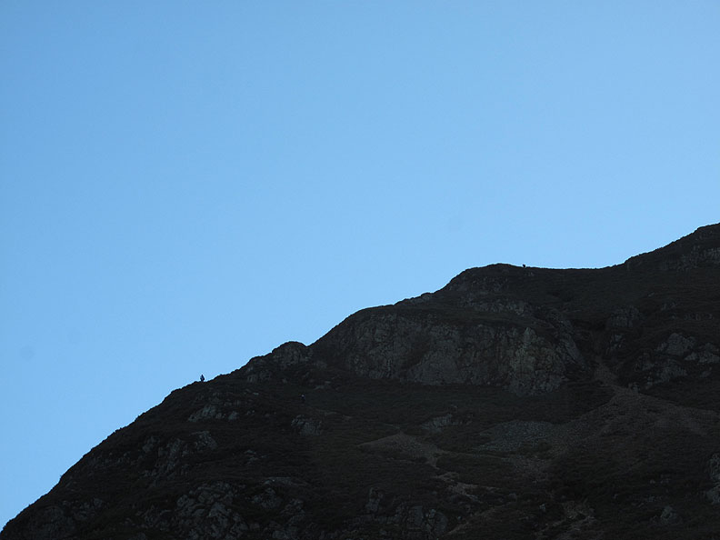
Looking up I spot two other people high up on the climb.
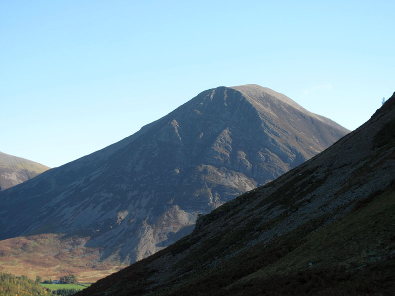
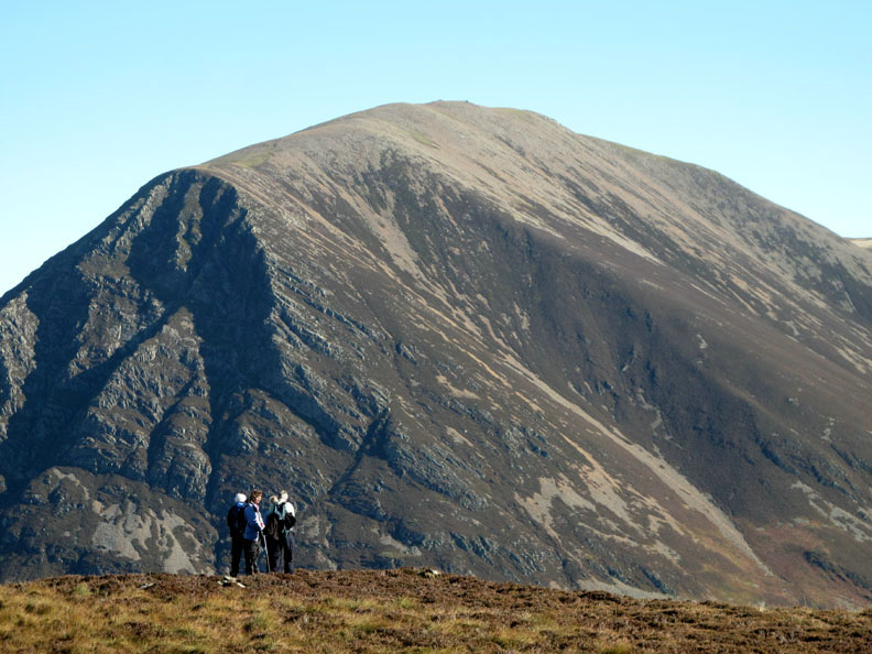
Grasmoor is always an impressive sight from here.
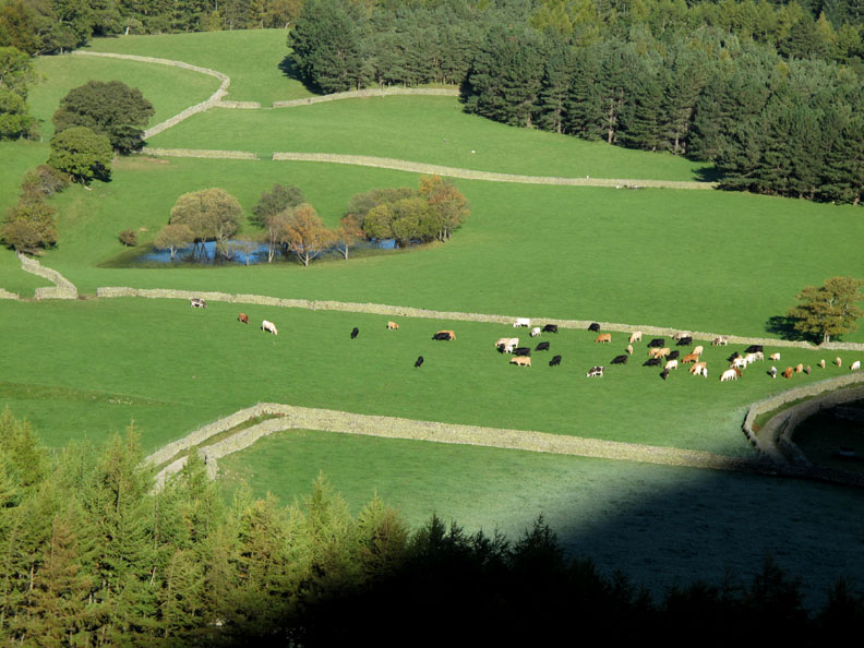
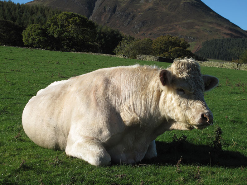
Looking down on the cattle on the Kirk Head fields. As the sun traverses the sky so the patch of frosted ground recedes.
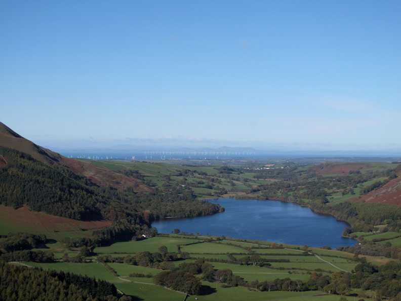
Visibility today is wonderful. This is looking over Loweswater at the Solway Firth and the Scottish hills beyond.
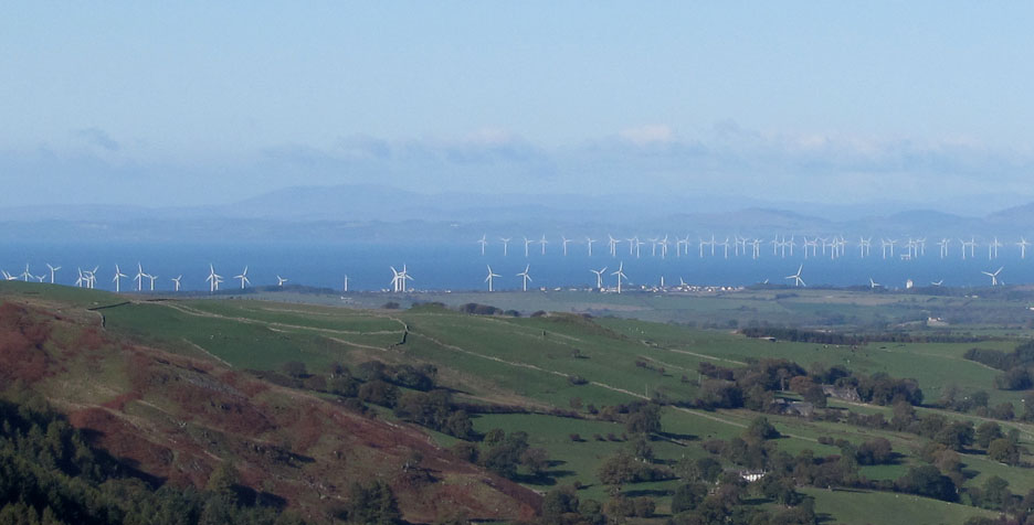
My my . . . what a lot of mechanical things not doing a lot of work today !
Turning towards more picturesque views as I look up Crummock Water. Whiteless Pike and Robinson are now in view.
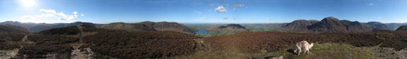
The full panorama from the 'Surprise' viewpoint.
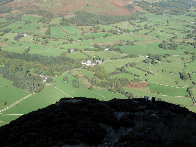
Loweswater Hamlet. The area must include a church and possibly a pub but very few other village features to qualify for the definition of hamlet.
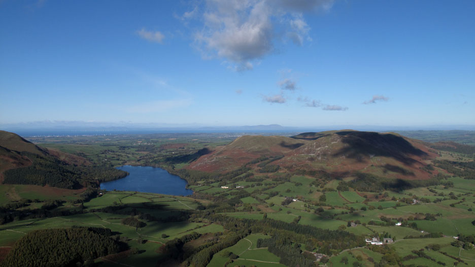
From the top of Mellbreak we can see the full panorama of the Scottish coast above Low Fell.
I was not alone . . . The two people I had seen earlier turned out to be four and we all gathered at the summit to admire the view.
Click here or on the photo above for a big value, Loweswatercam 360 degree annotated panorama from today.
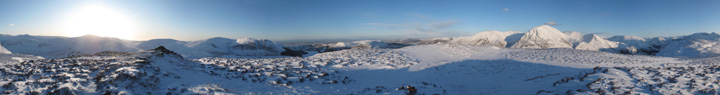
Click here or on the photo above for the James Bell animated Loweswatercam 360 degree winter panorama from the same place. and ( my advert ) click here to find out details of how to buy a framed copy for yourselves ready for this Christmas. ( This will take a little longer than normal to load by the way )
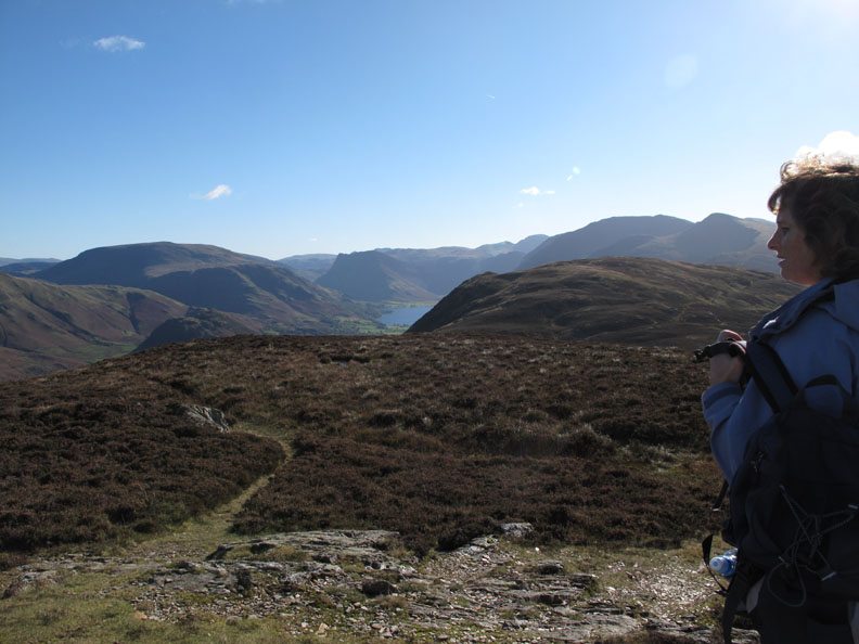
My temporary fellwalking companions move across to see the view from the edge . . .
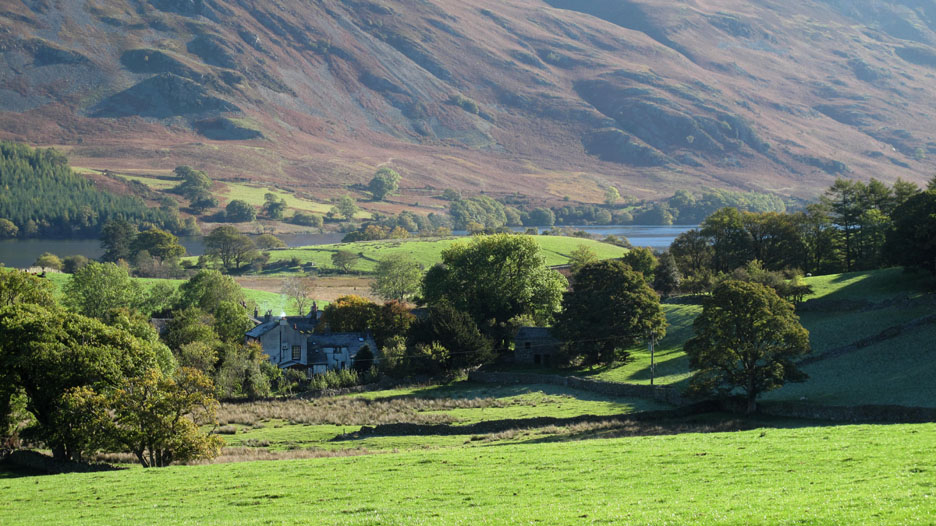
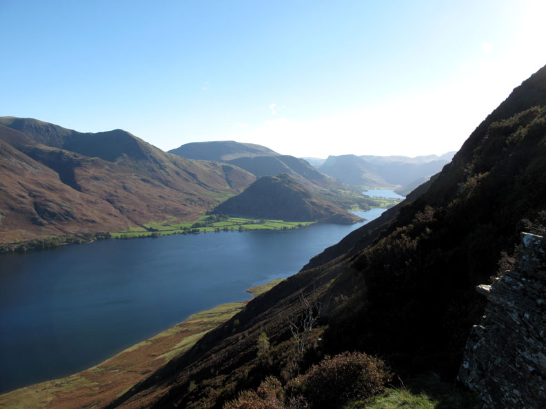
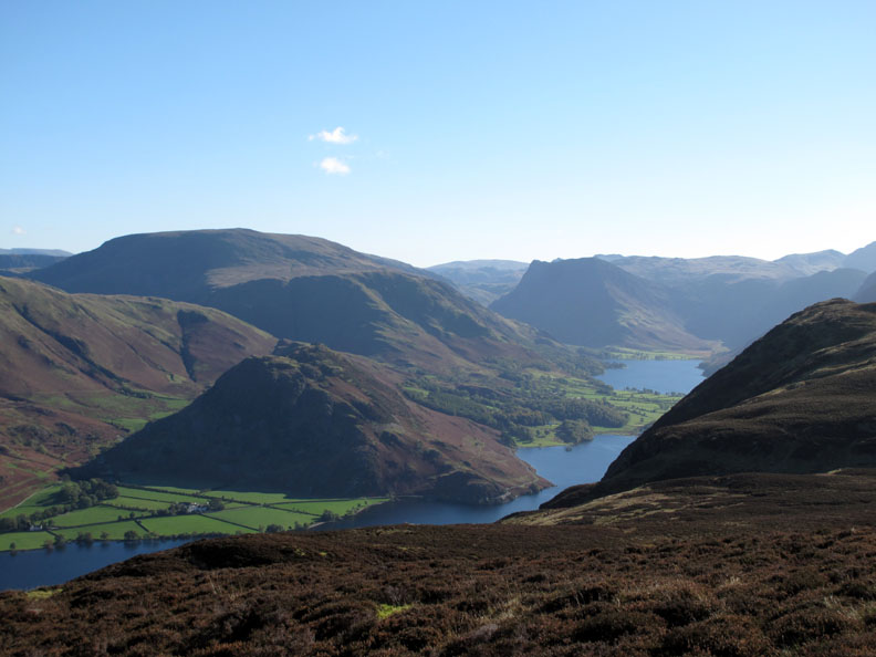
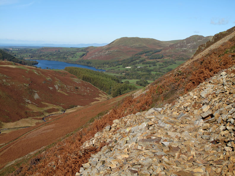
. . . so I follow and do likewise. Below is Rannerdale Knotts, Robinson and Fleetwith Pike with Crummock Water and Buttermere beyond.
My route takes me back to the opposite side of the fell ready for a descent down from the mid-point of Mellbreak.
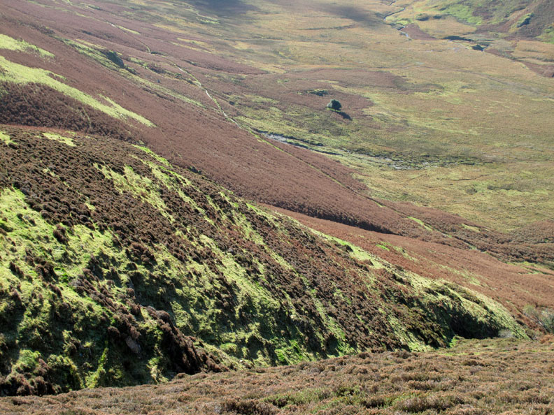
A direct descent towards the Mosedale Holly is a steep affair following the grassy path down but I take my favourite route diagonally down on an oversize sheep trod under the western crags of Mellbreak.
The path gradually descends towards Loweswater again.
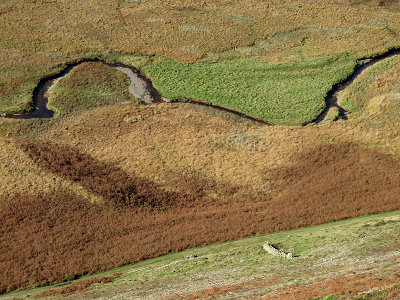
Oxbows and damp ground in the Mosedale Valley below me.
Back on the Kirk Head track . . . Low Fell across the field with the ancient earthworks, probably a fort or stockade from the days of Earl Beothar I am led to believe.
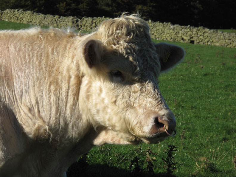
Lord of all he surveys . . . a rather fine Charolais Bull.
Worth a second look . . . as he had a second look at me as I passed.
- - - o o o - - - |
Technical note: Pictures taken with either Ann's Canon 75 or my Canon G10 digital camera. Resized in Photoshop, and built up on a Dreamweaver web builder. This site best viewed with . . . a cool t-shirt but a handy pair of gloves too. © RmH.2010 # Email me here # or leave me a Guest Book Entry Previous walk - 19th October 2010 Knott Rigg for Harry A previous time up here - 6th January 2010 Mellbreak to try for a panorama again Next walk - 20th October 2010 Harry's Swim and Walk
|