< The direct route to the
cloud covered summit. |
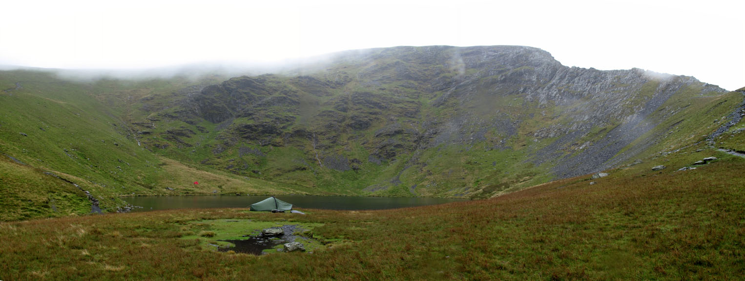
Two wild-campers, one public and one more
private. |
Atkinson Pike, the opposite end of the
Blencathra ridge. |
Sharp Edge path > |
![]() Click here to go back to the
Blencathra page ( or better still just press your back space key )
Click here to go back to the
Blencathra page ( or better still just press your back space key )
Technical note: Pictures taken with a Canon G10 Digital camera.
Panoramas created using Microsoft ICE Program.