![]()

Remember: Press F11 for a full
screen view of this page.
|
|
|
Remember: Press F11 for a full
screen view of this page. |
|
Scafell 3 Peaks Challenge Date & start time: Sunday 12th September 2010, 4.30 am start. Location of Start : Seathwaite Farm, Borrowdale, Cumbria, Uk ( NY 235 122 ) Places visited : Seathwaite, Stockley Bridge, Grains Gill, Esk Hause, Calf Cove, Great End, Ill Crag and back (eventually) to Grains Gill and down to the valley again. Walk details : 8.5 mls (approx), 2950 ft, 8 hrs 30 mins including breakfast and lunch. Highest point : Ill Crag 3038 ft - 935 m. Walked with : Myself and Bethan, with five other marshalls and seven challenge teams. Weather : Forecasted poor to start but clearing. Windy with a cloud base at 700m.
|
|
This morning the alarm went off at 3.30 am . . . yes 3.30 am . . that's in the morning ! I got up, ate a very early pre-breakfast breakfast, then Bethan and I were in the car and on the way by 4. It was a challenge getting up, but we were meeting folk that had been up all night. They had climbed Ben Nevis the evening before and were already on their way south to Cumbria. They were the ones on the real 3 Peaks Challenge.
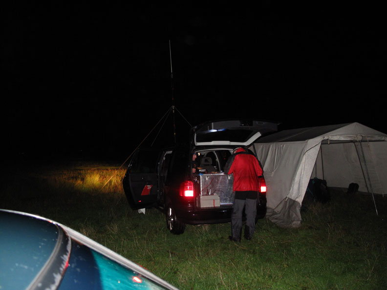
4:26 am . . . Seathwaite Campsite. Arrived at Seathwaite Farm to meet the guys from CARE International who were supervising the fundraising event. [ Good practice requests that organised 3 peaks events do not start from Seathwaite before 5 am in order to give the locals some chance of a reasonable nights sleep . . . if you're doing it yourself, please follow suit and be as quiet as possible ]
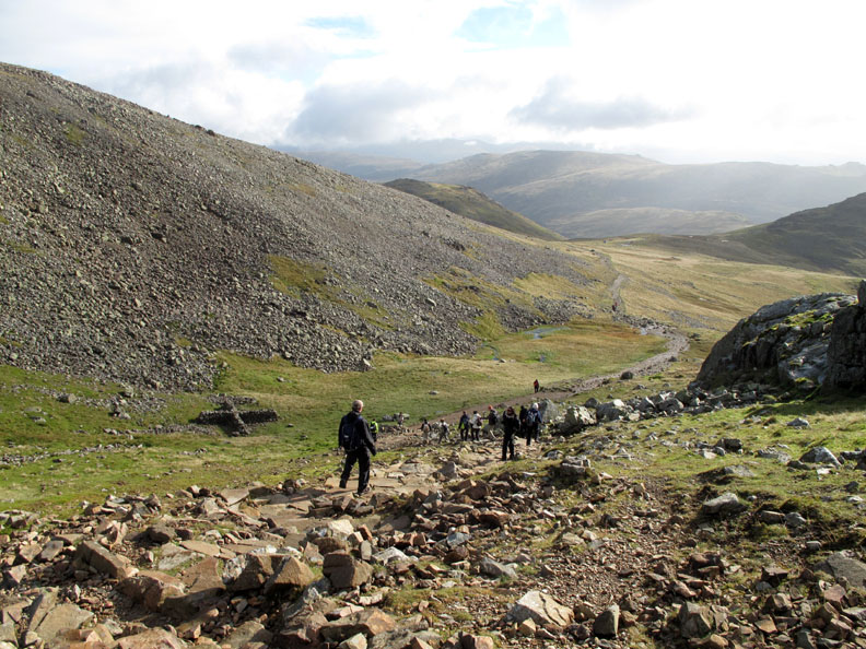
I collected my radio and team information and set off up the track to Grains Gill in order to be in place on the fell before the first teams arrived.
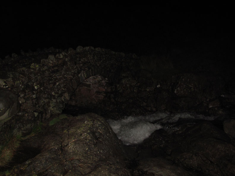
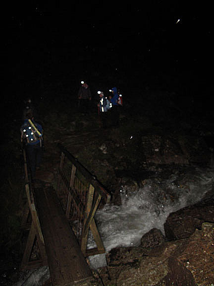
5:00 am . . . Stockley Bridge There's plenty of water passing under it due to the heavy rain in the last 24 hours.
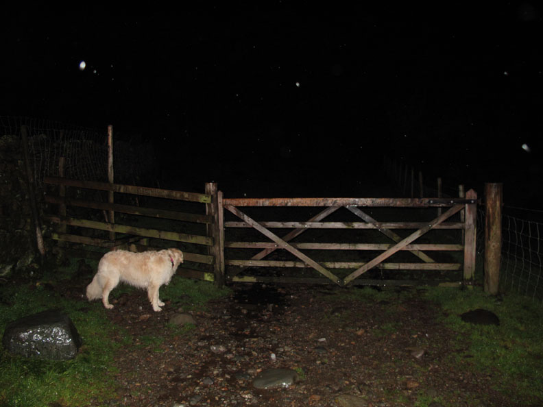
The last gate . . . it's the open fell from here on. There were a couple of white dots ahead, presumably head torches of the other marshalls.
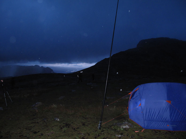
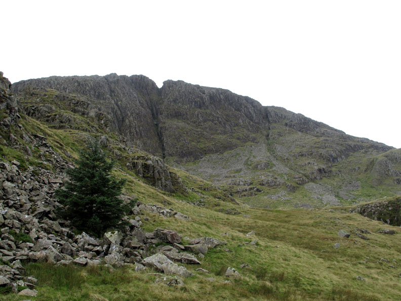
6:11 am . . . Esk Hause. After a steep pull up Grains Gill we reach Esk Hause. Phil, the marshall here had decided to camp out overnight in order to be ready for the first teams this morning. The pole is a radio mast to improve communications between the valley, the marshals and the summit of Scafell Pike.
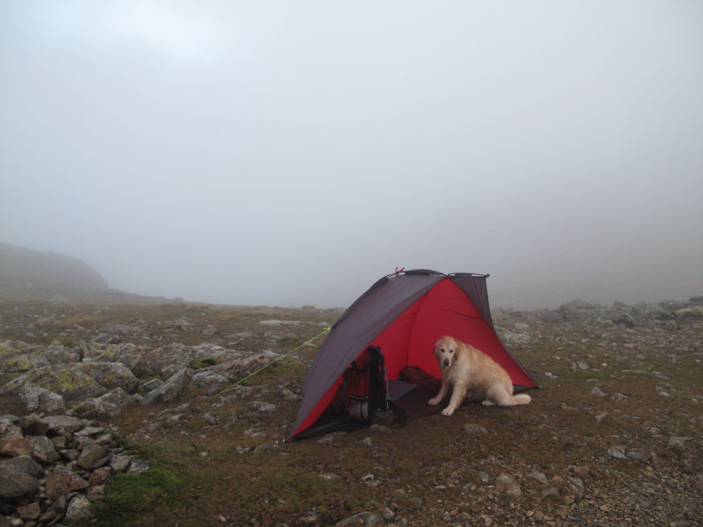
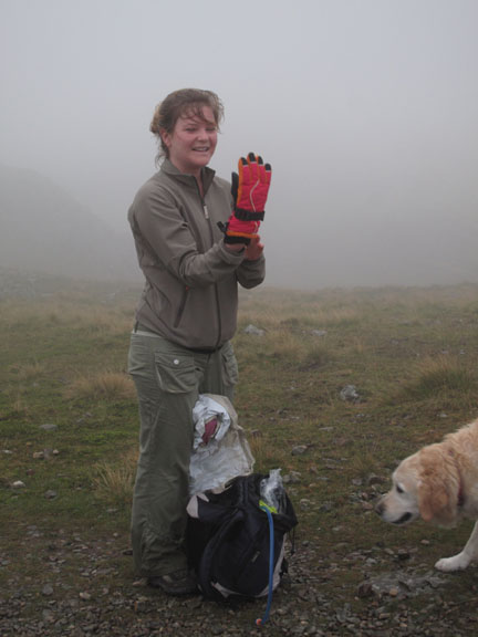
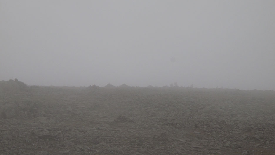
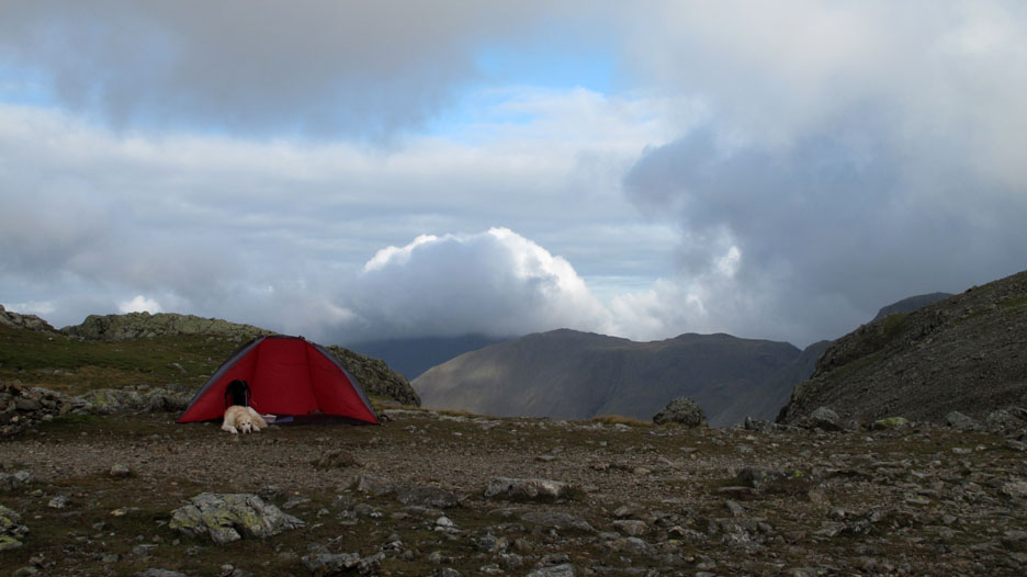
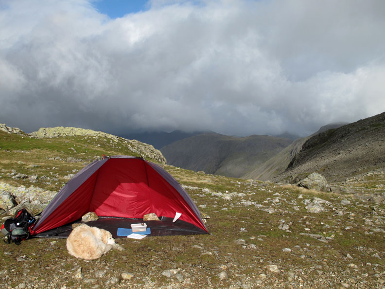
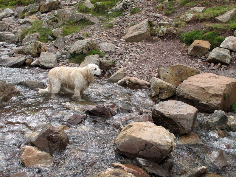
7:10 am . . . First light at Calf Cove. Bethan looks (not) really happy at being up here on this (not) fine morning . . . and no furry brother to cuddle up to either. I put up a light wind shelter to give us both a little protection. It took twice as long as normal due to the strong breeze . . . but then that was the point of putting up the shelter wasn't it !
7:23 am . . . the first team through and they are really chatty and seem to be in great spirits.
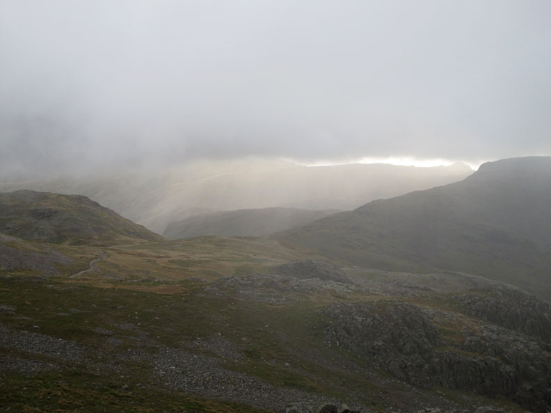
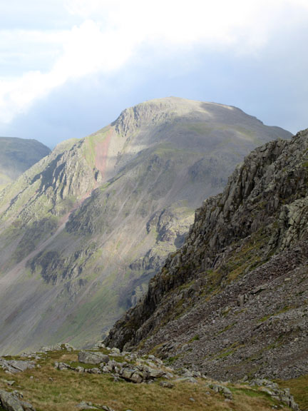
8:00 am . . . Looking down into Wasdale. The cloud has started to lift slightly and I walk with one of the teams up onto the start of the Broad Crag ridge. This was the first view I had of Lingmell, Pillar, Kirk Fell and Great Gable, still very much in the cloud.
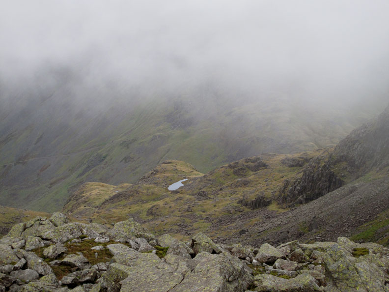
The un-named tarn down on Lambfoot Dub, far below us.
Looking back at the red dot which is Bethan's and my shelter as an early group of 3 Peaks walkers made their way back down to Esk Hause. They were not part of our challenge group but were doing their own independent attempt.
I leave "Team Health" to make their way across Broad Crag Coll and on towards their goal of Scafell Pike.
Empty Paths . . . The last team is a long way off (they took a wrong turning in the valley) and were not expected up here until at least an hour from now.
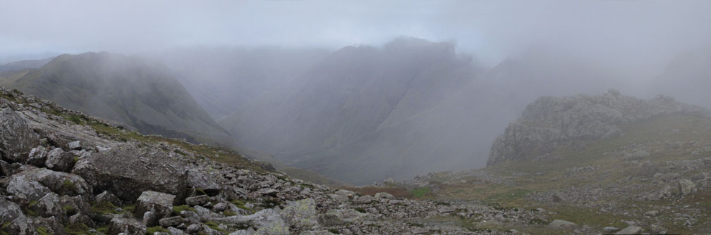
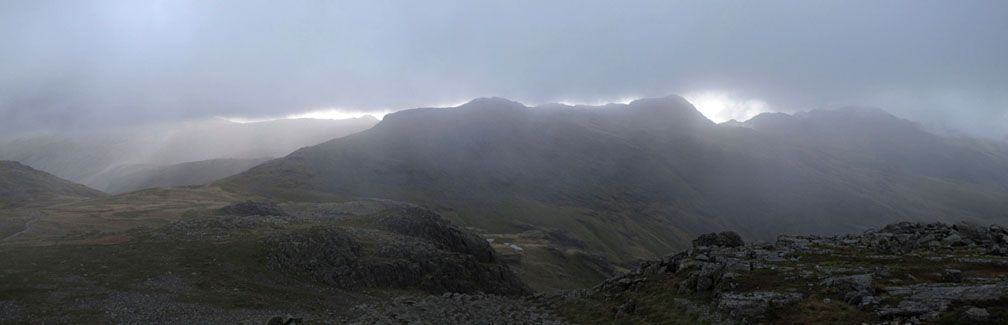
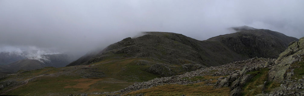
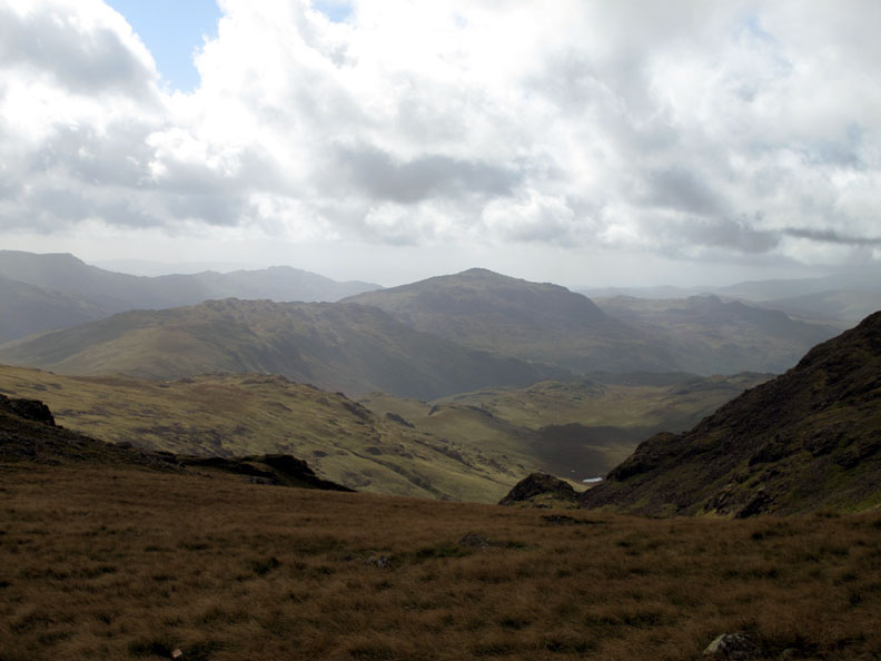
Looking across at a southerly panorama. To the left is Esk Hause, the cloud is just starting to clear Esk Pike and Bowfell, and Crinkle Crags on the right is nearly out too. Click here or on the photo above for a bigger, Loweswatercam photo. Time in hand for a little extra excursion.
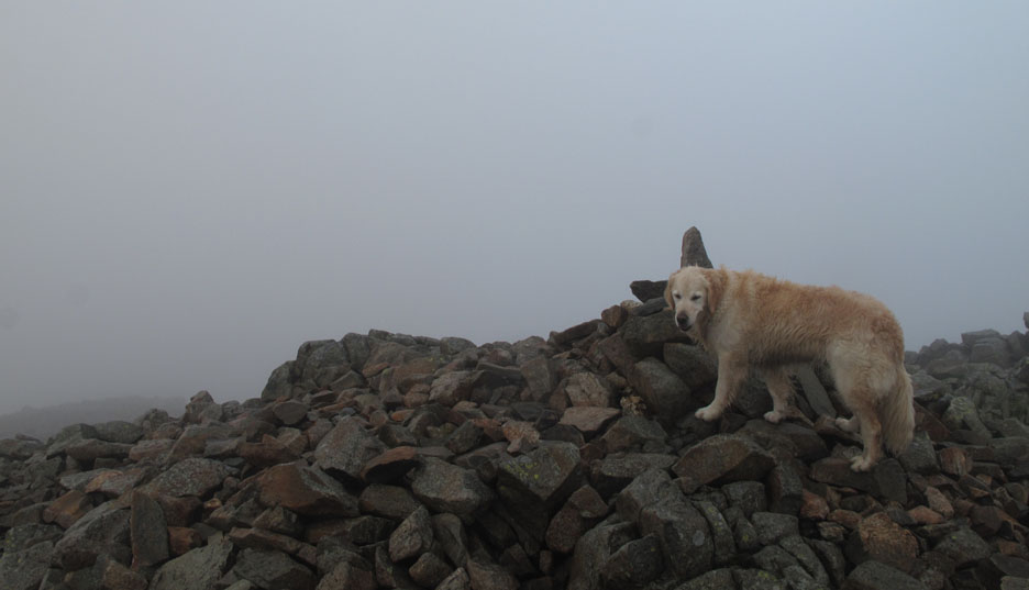
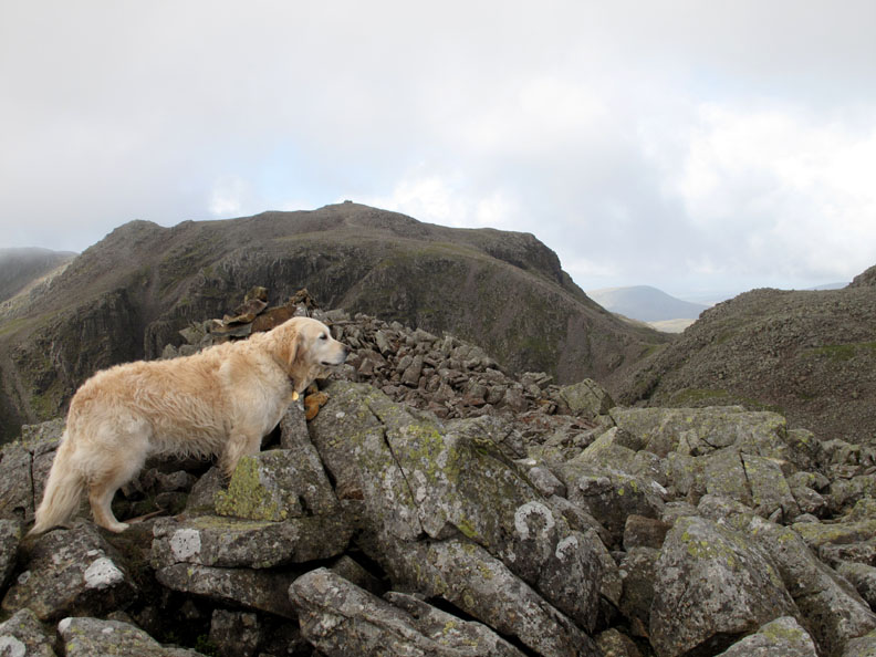
Radio in my pocket, Bethan and I climb the extra half mile to the summit of Great End. Not the best photo . . . but we were back into the cloud again.
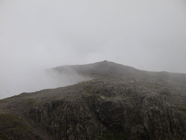
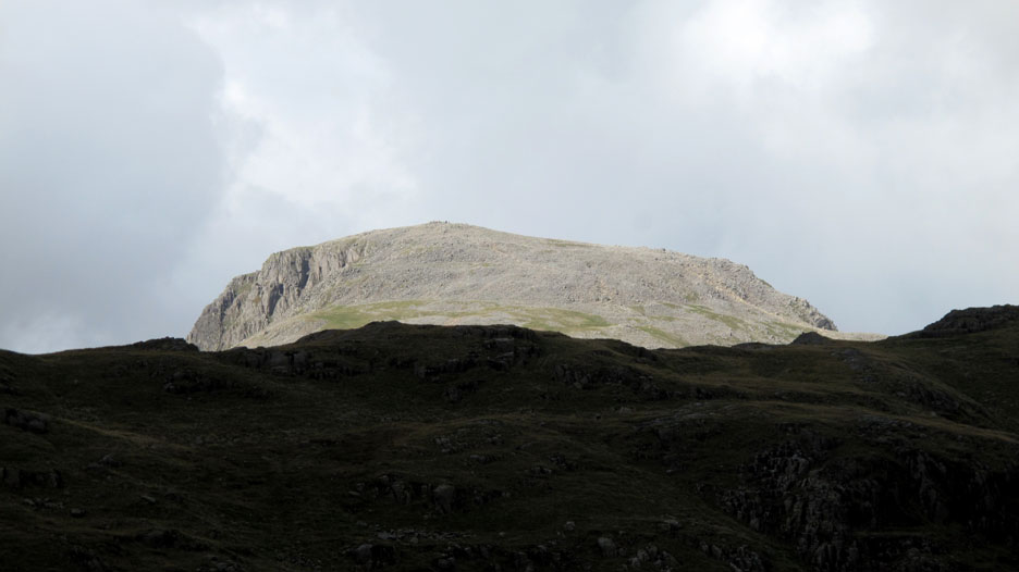
8:35 am . . . Being up in poor weather has it's compensations . . . nice views as Scafell Pike Summit is partially clear. The small figure to the left of the summit cairn is probably my colleague Phil K, ready and waiting to greet the successful summit teams.
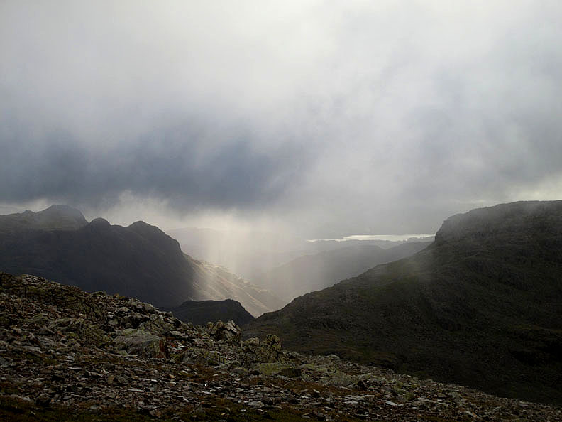
8:45 am . . . Clearing clouds over the high fells. Click here or on the photo above for a bigger, Loweswatercam photo. The forecast was for the weather to clear during morning . . . but of course that would be a few hours yet as it was still breakfast time for most folk.
That's better . . . a burst of sunshine over the Langdale Valley Dramatic light contrasts the dark shadows of the Langdale Pikes with the bright sunshine on the valley alongside.
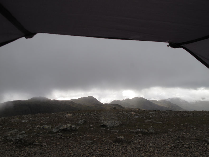
8:45 am . . . The view from the shelter. I'm back on station and waiting for the first teams to return triumphant from the summit.
Time passes . . . and the weather improves. The wind is still a problem as Bethan catches a few minutes shut-eye in the shelter of the tent.
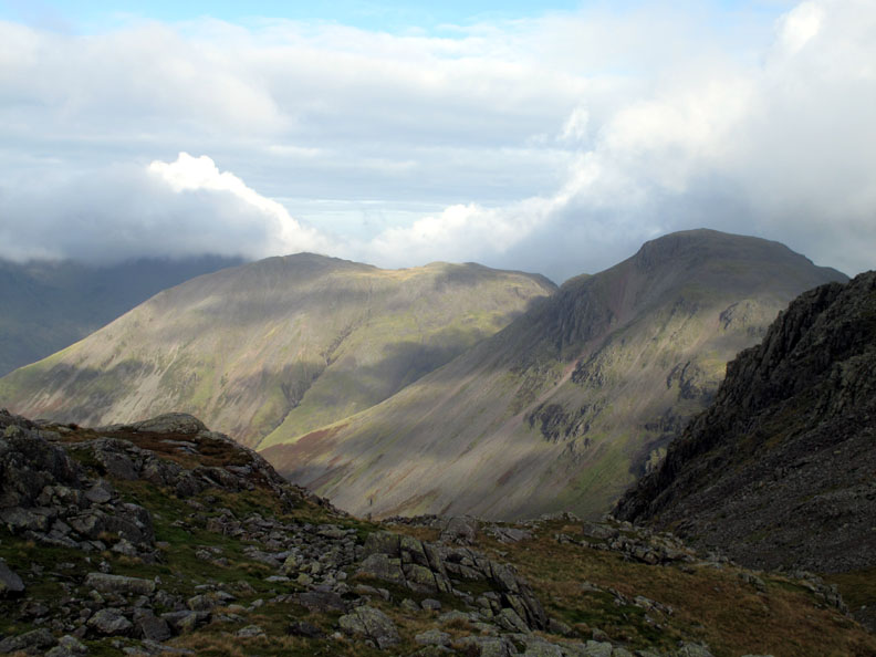
Left to right, we have cloud covered Pillar, sunny Kirk Fell and shaded Great Gable. The sunshine and fast moving clouds interacted to give lovely light effects.
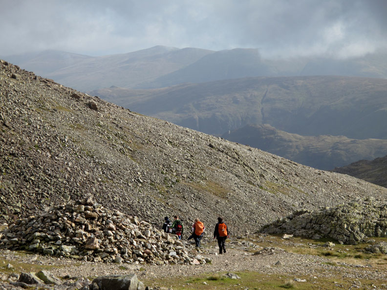
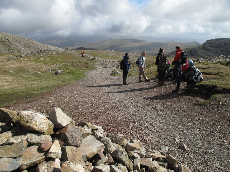
9:30 am . . . the teams are passing now, making their way back down Calf Cove past the X shaped shelter marked as Bield on the map. I think this was built as a pony shelter when the Victorian fell tourists used to travel up this far with their guides and ponies. From here on to the summit it was too rough for the animals. [ Don't quote me on this specifically . . . it's not definite . . . just a feeling I've gathered following discussions about fell walls ]
9:48 am . . . Calf Cove This was probably the last of the six teams making their way back down. Unfortunately there was the seventh team who had only just passed, they were still making their way up.
Well Bethan . . . time to eat another sandwich and perhaps catch another dog-nap for you ? There now followed a short intermission while I caught up and finished reading the September edition of the little Cumbria Magazine !
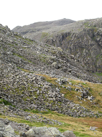
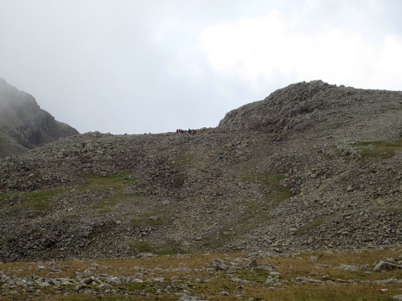
Not having brought a bed, sleeping on the stoney ground was not an option so I decided to walk up towards Ill Crag to meet the last team who had radio'd in to say they were on the way back. Looking across I could see them passing underneath Broad Crag.
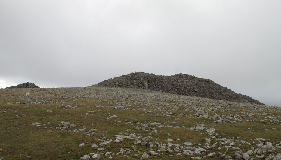
Ill Crag summit was not far away . . . how about a quick trip over to the summit ?
This top is a real omission from the Wainwright list of summits as the view from Ill Crag is really stunning on a nice day.
Looking down on Pen and Samson's Stones in Upper Eskdale.
11:05 am . . . time to be heading back across the stoney summit to meet the other marshalls and the last team.
11:15 am . . . "Team Justice" re-group after the rocky crossing between Ill Crag and Calf Cove. There's now bright sunshine as we walk back we pass the spot where I had pitched the shelter earlier.
11:24 am . . . Harter Fell as we make our way back down to Esk Hause.
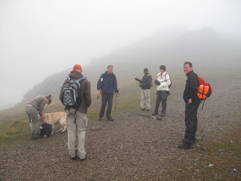
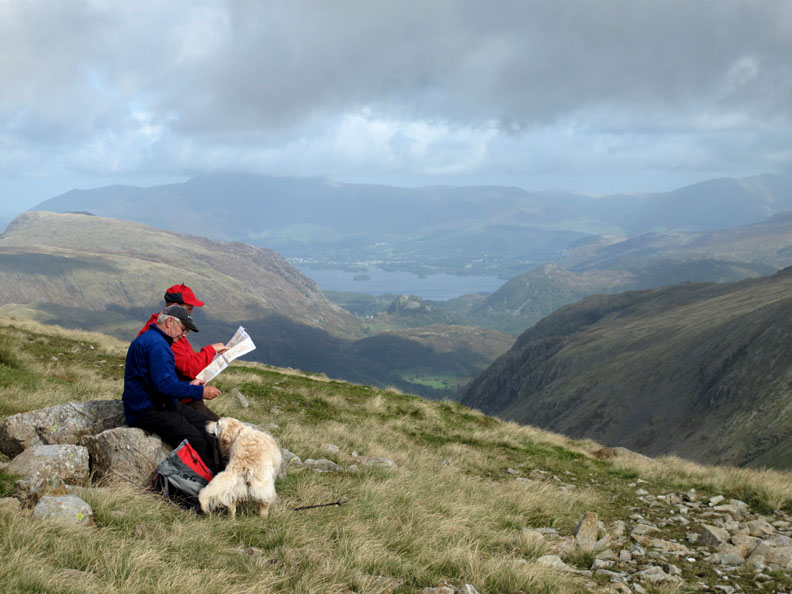
Ever friendly, Bethan makes her way over to these two gentlemen who had paused to relax on a comfortable rock and study their map.
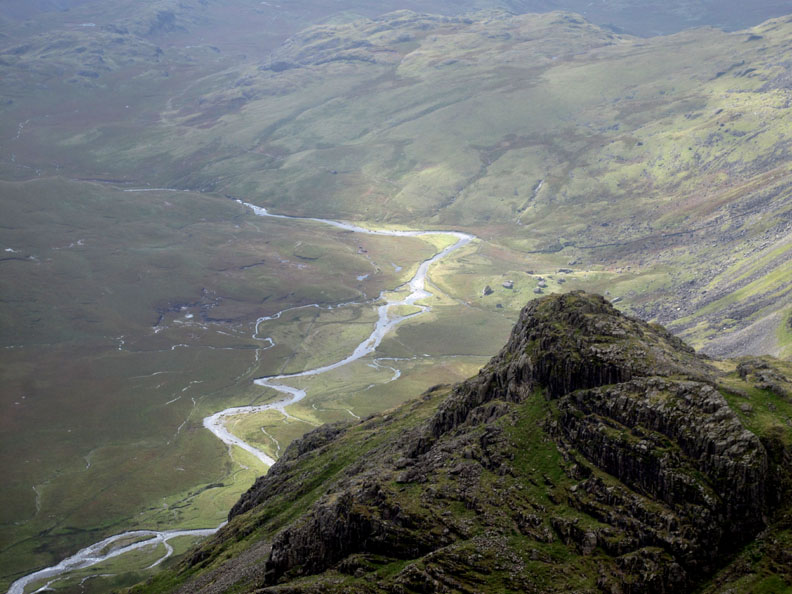
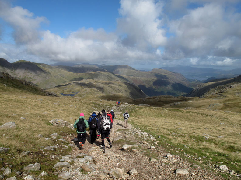
11:45 am . . . following the last team down, we make our way towards Grain Gill once again. Sprinkling Tarn can just be seen above the girl with the pink hat and Derwent Water is there, way down the valley.
Grains Gill or Ruddy Gill as it is also called on the map. Why ? . . . Ruddy implies red as can be seen from the soil on either side of the beck.
12:15 pm . . . " On the trail of the lonesome Pine " Great End, imposing at the head of the valley as we start our descent.
Sunshine on Great Gable, shadows on Seathwaite Fell. The high summit disappeared from view as we made our way down the valley. Our friend Richard and his brother plan to climb it sometime today . . . he should be enjoying good weather by now.
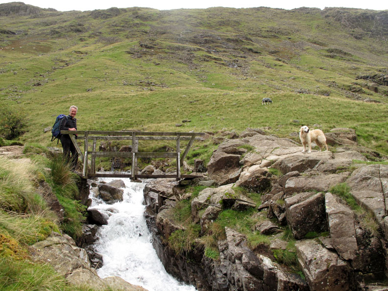
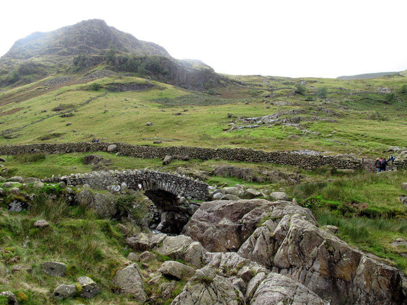
12:30 pm . . . my colleague, the other Phil, crossing White Bridge on the way back down. This is the same bridge that I photographed on the way up in the rain.
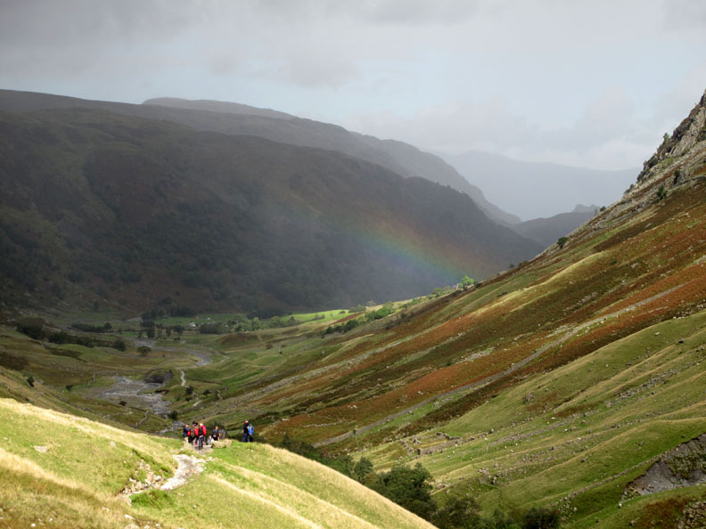
The weather would play one last trick on us before we ended the walk. A brief shower had us diving for jackets again . . . but it was soon past and we were left with a delightful rainbow.
12:49 pm . . . Stockley Bridge again, twenty minutes from the campsite and the car. Time to say goodbye to the last team and send them on their way in their minibus on the road to Wales and their attempt to climb the three highest peaks of each region of mainland Britain in under 24 hours top to top. Ben Nevis, Scafell Pike and Snowdon . . . a Three Peaks charity fundraising event, English section safely completed. - - - o o o - - - |
Technical note: Pictures taken with either Ann's Canon 75 or my Canon G10 digital camera. Resized in Photoshop, and built up on a Dreamweaver web builder. This site best viewed with . . . a double sandwich box for two breakfasts in the day . . . and don't forget the dog biscuits ! © RmH.2010 # Email me here # or leave me a Guest Book Entry Previous walk - 9th September 2010 Crummock and Mellbreak A previous time up here - Sunday 31st May 2009 HSBC/VSO Scafell 3 Peaks Next walk - 16th September 2010 Wet and Dry Scale Hill Walks
|