![]()

Remember: Press F11 for a full
screen view of this page.
|
|
|
Remember: Press F11 for a full
screen view of this page. |
|
Dent Fell and Nannycatch Valley Date & start time: Wednesday 21st July 2010, 3.15 pm start. Location of Start : The forest gate beyond Wath Brow, Cleator Moor, Cumbria, Uk ( NY 041 139 ) Places visited : Uldale Plantation, Dent Fell, Raven Crag, Nannycatch Gate and back on the bridle way. Walk details : 4.3 mls, 960 ft, 2 hrs 30 mins. Highest point : Dent Fell, 1144 ft - 352 m. Walked with : Jo, John, Ann and the dogs, Jodie, Amber, Polly, Harry and Bethan. Weather : Sunny and dry after a poor morning. Still some cloud about causing shadows.
|
|
With the forecast suggesting clearer weather on the coast we set our sights west and travel over to Cleator Moor. We turn down in the town past the Rugby Club and drive a short distance up to the forest gate to start our walk this afternoon.
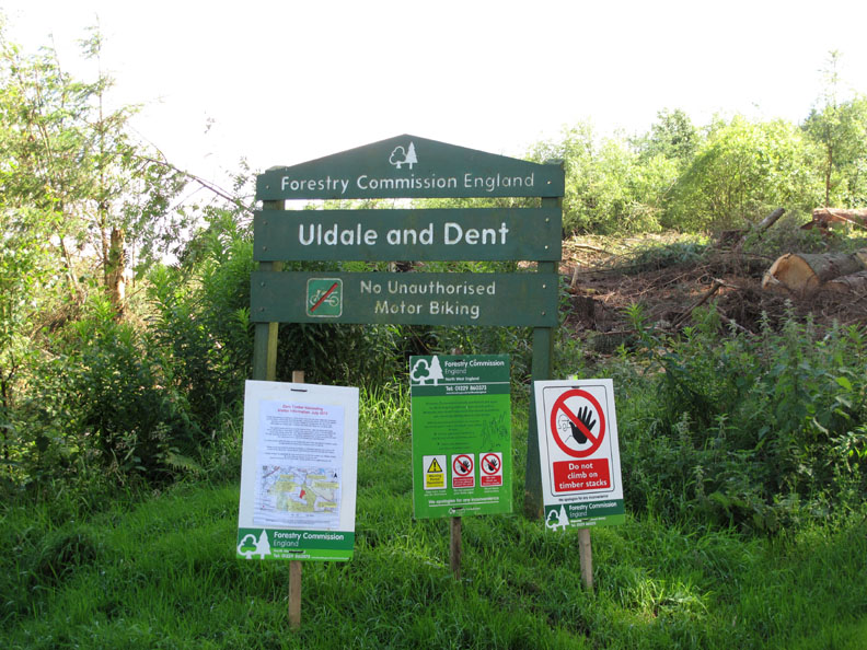
Thou shall, thou shalt not . . . plenty of reading matter to start the walk !
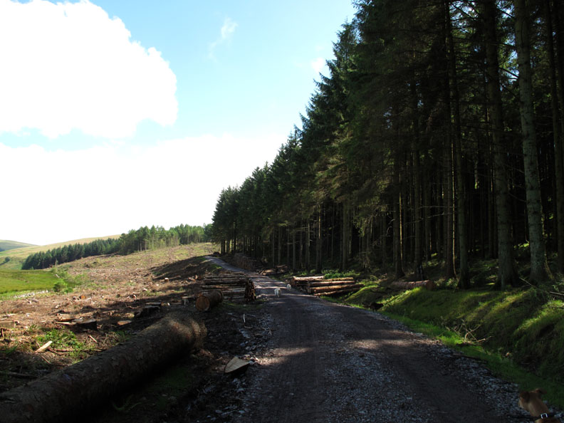
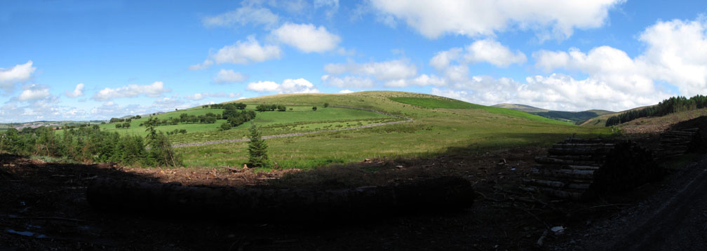
The reason for all the fuss . . . they've been felling the trees on the lower slopes of Dent Fell. Everything was very different . . . and rather brown and muddy in places.
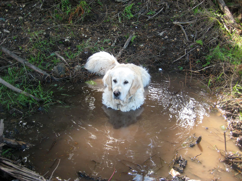
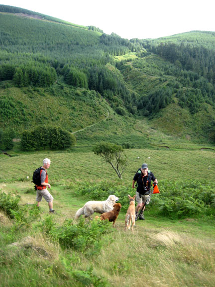
Great . . . two seconds into the walk and Harry is " forestry colour " already !
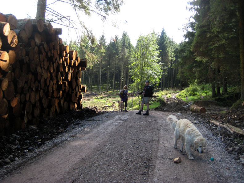
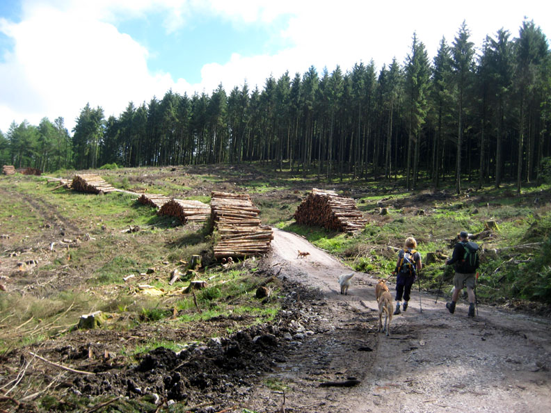
Stacks of timber ready to ship out for use. New gravel on several sections of the walk meant we were not as muddy as a previously mentioned dog.
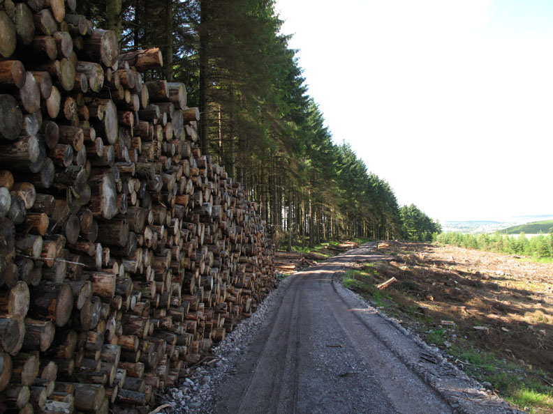
These were big logs . . . it said so !
Due to the clear felling, there is a full width view of Flat Fell today Our route back would walk the valley this side of the hill rather than go over it. It has certainly turned out a nice afternoon now.
More logs stacked up as Harry returns to collect his green ball. I've taken to carrying it on shorter walks and it is useful when there are less sticks about to play with than there are today.
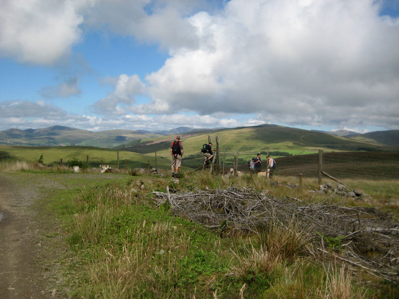
Matchstick men and women.
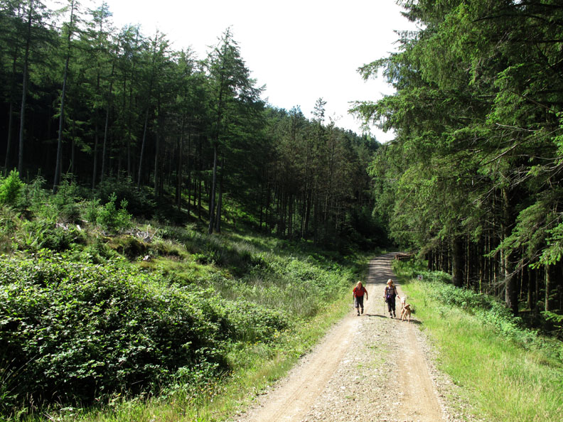
Only a small part of the forest has been cleared so far so our route continues up through an undisturbed patch of tree lined fell side.
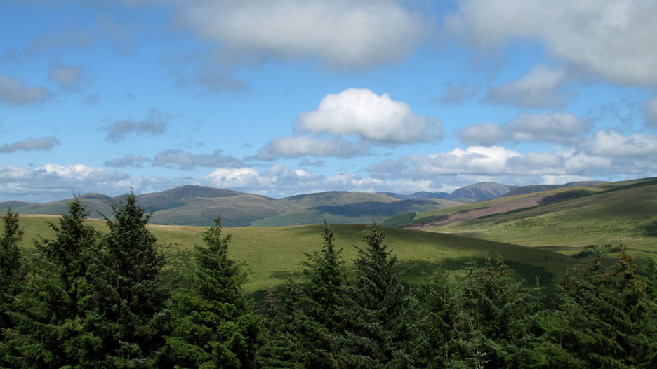
Clearing the trees, we get our first view north across Flat Fell to the two major peaks of Blake Fell and Grasmoor.
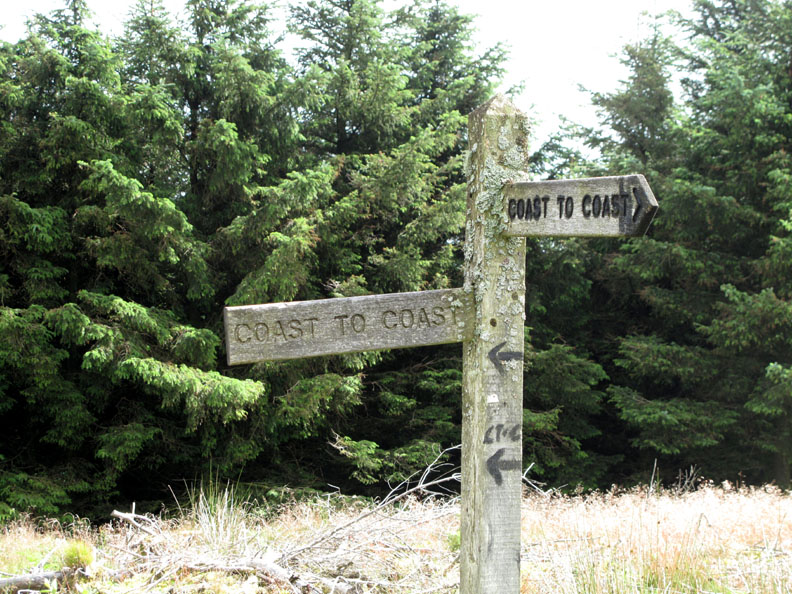
The old sign post as we join the Coast to Coast path. When first erected the signpost was wrong and must have confused C.to.C walkers on their first day out. First it was corrected using graffiti but now it's been turned and points in the right direction. [ Move your cursor over the photo to see what it used to be like]
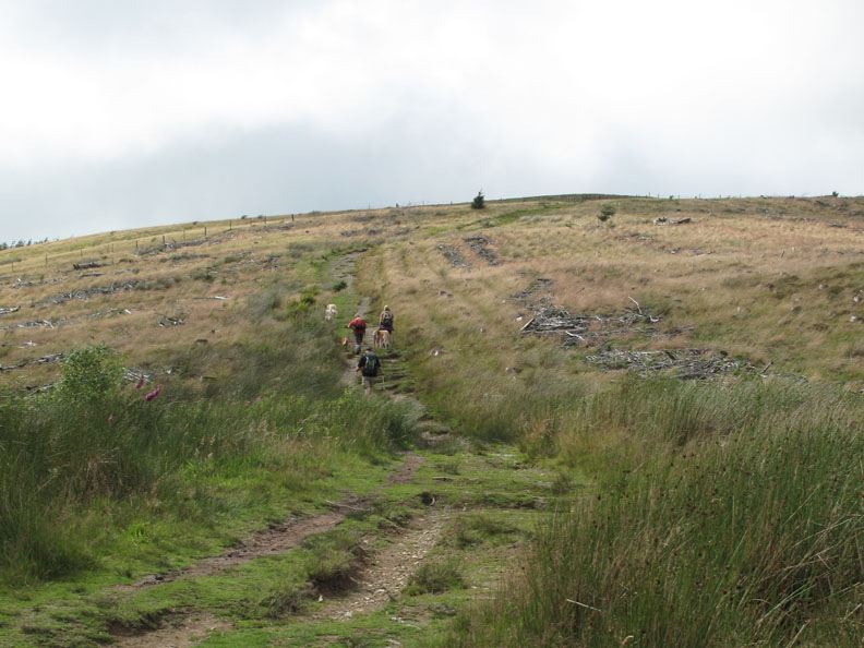
We climb the short distance up the C.to.C route towards the summit of Dent.
A full view of the west coast from the path up to the summit. The sunshine gives good visibility but there's still a lot of moisture in the air making it less clear than expected.
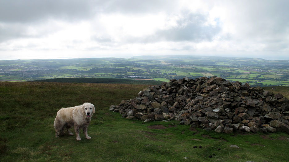
The Cairn on the western end of the fell with St Bees Headland in the distance. Originally an ancient cairn, it has now been re-sculptured to include two shallow wind shelters.
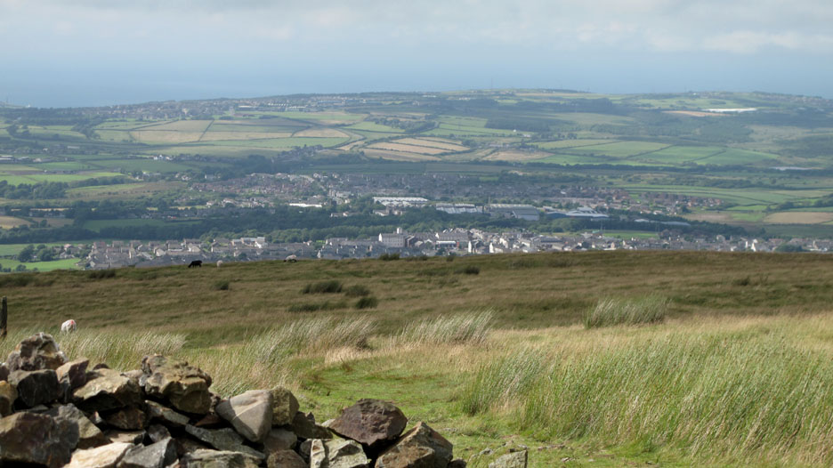
Bright sunshine now, zooming in on the west coast town of Cleator Moor.
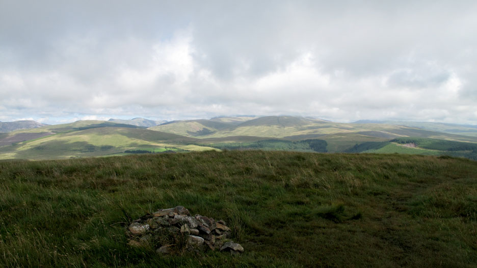
Turning east and retracing our steps we pass the true summit of Dent a second time. Looking this way we can see into the central fells. The High Stile Ridge is clear but there's still cloud on the Scafells and Pillar.
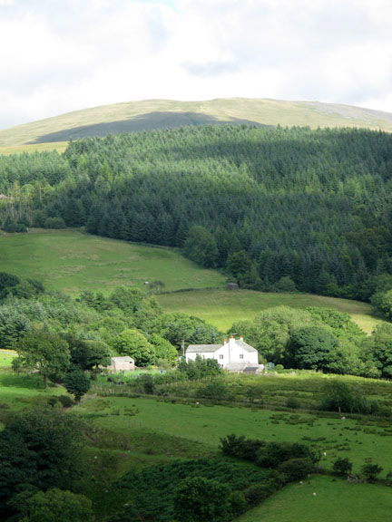
Lank Rigg behind the forest has a delightful light and shade pattern across it.
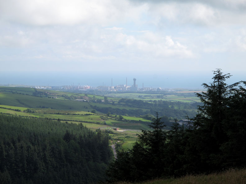
Sellafield, love it or hate it, it is instantly recognisable. It does however provide a major source of employment on the West Cumbrian Coast.
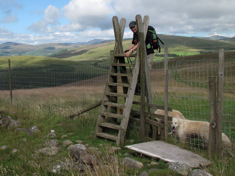
Time to cross the high deer fence . . .
. . . on the even higher ladder stile. Fortunately there's a dog gate otherwise this would have been a real problem to get everyone over.
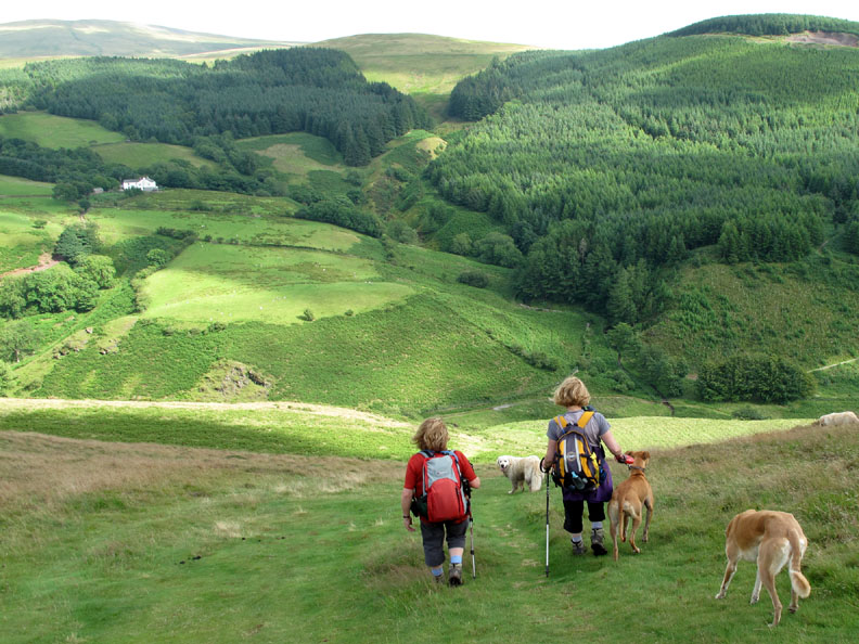
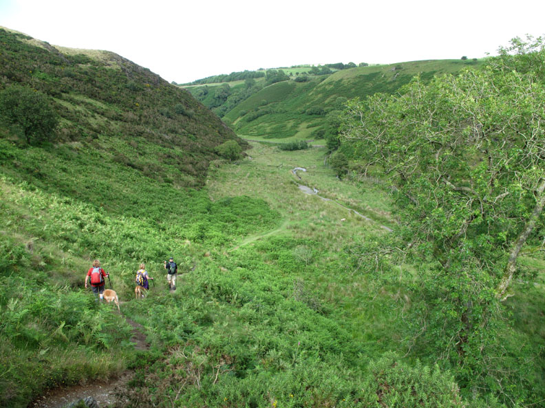
Ann and Jo start the steep descent into the Nannycatch Valley.
Down into the valley. The summer greens and extensive bracken make the detail remarkably indistinct.
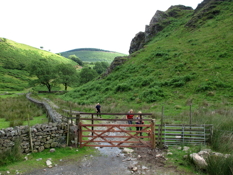
Raven Crag above Nannycatch Gate It would have been a better photo of the girls if the gate had not been so tall.
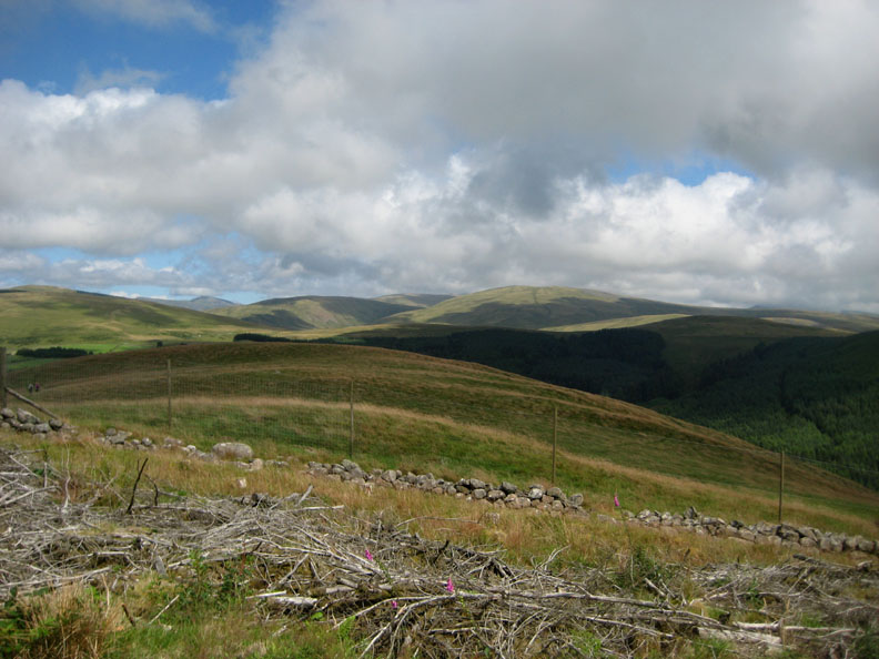
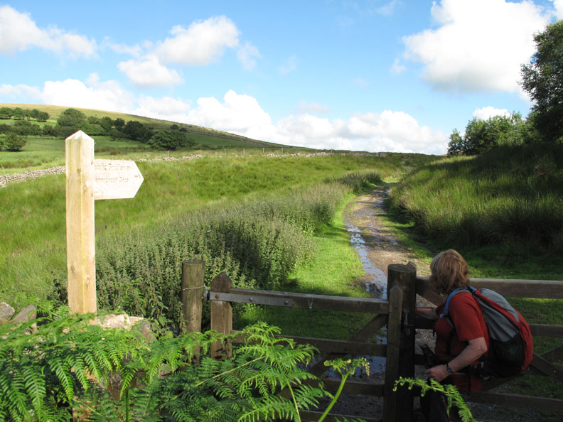
The C.to.C route went right but we took the bridle way left back towards the car. Someone has spent a lot of time and energy relaying the path and controlling the stream bed to the right. As the wall is the boundary of the National Park and we are just inside it, I guess it was them.
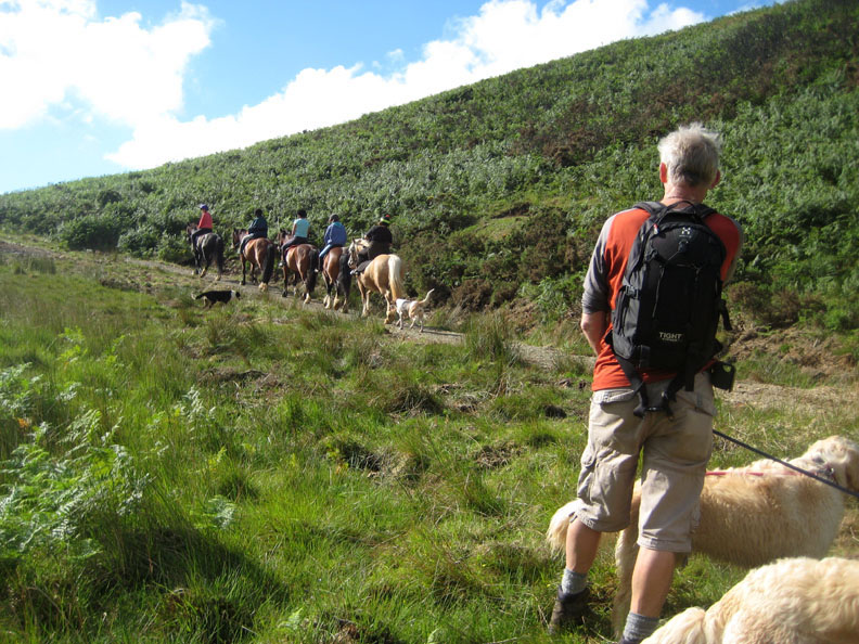
You can tell it's a bridle way . . . five bridles have just passed us. The trek ponies are from the nearby Low Cock How Riding Stables up on the Cold Fell Road.
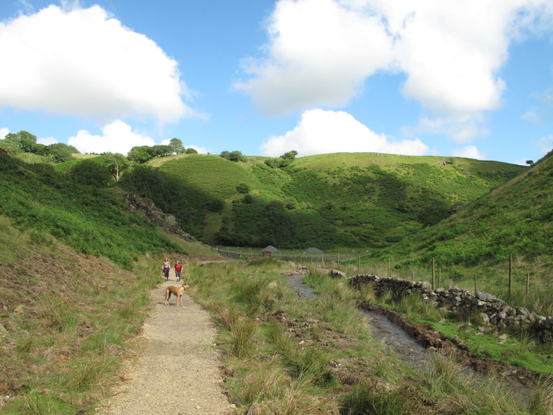
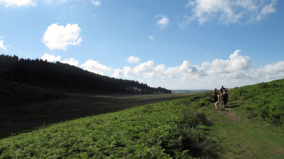
Away from the stream the path dries somewhat and turns green, back to a pleasant grass surface. On the way up, occasional trenched, humps and drainage ditches allows the water to run off well but also ensured we had to keep one eye on the path to avoid tripping over them.
Back to the car after a delightful two and a half hour stroll around Dent Fell and Nannycatch. Last one through, please close the gate ! - - - o o o - - - |
Technical note: Pictures taken with either Ann's Canon 75 or my Canon G10 digital camera. Resized in Photoshop, and built up on a Dreamweaver web builder. This site best viewed with . . . lunch in the garden before the walk. © RmH.2010 # Email me here # or leave me a Guest Book Entry Previous walk - 20th July 2010 Base Brown & Plumbago A previous time up here - 6th August 2008 A damp Dent and Flat Fell Next walk - 26th July 2010 Low Fell with Tom & Sam
|