![]()

Remember: Press F11 for a full
screen view of this page.
|
|
|
Remember: Press F11 for a full
screen view of this page. |
|
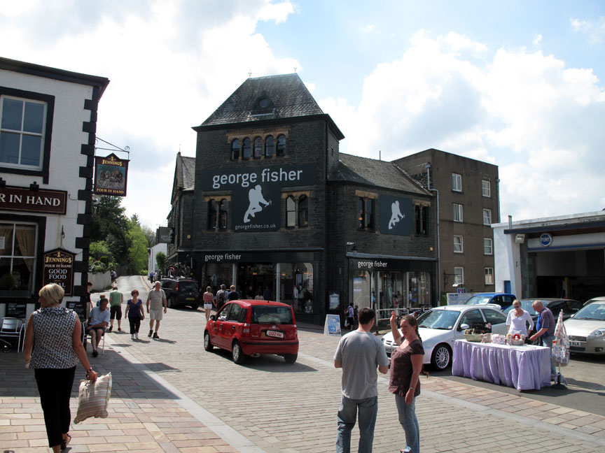
Walla Crag Festival Route Date & start time: Friday 21st May 2010, 9.30 am start. Location of Start : George Fishers Shop, Keswick, Cumbria, Uk ( NY 266 232 ) Places visited : Springs Road, Castlerigg, Walla Crag, Cat Gill, Derwent Water, Centenary Stone, Friars Crag, the boat landings, the festival field, and back. Walk details : 5.3 mls, 1050 ft, a rapid 2 hrs (no tea break this morning) Highest point : Walla Crag 1243 ft - 379m. Walked with : Myself and an Oregon 450 Gps for company Weather : Positively summer !
|
|
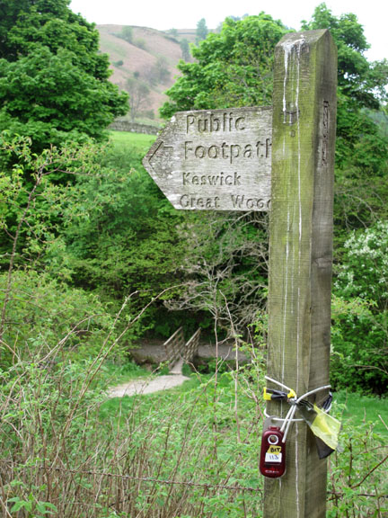
Fishers have asked me to set out a Gps Geo-Trail so that others can follow a route up through town onto Walla Crag returning by the lakeside to enjoy some of the best local views and attractions. I'm doing it in working time . . . so who am I to refuse ?
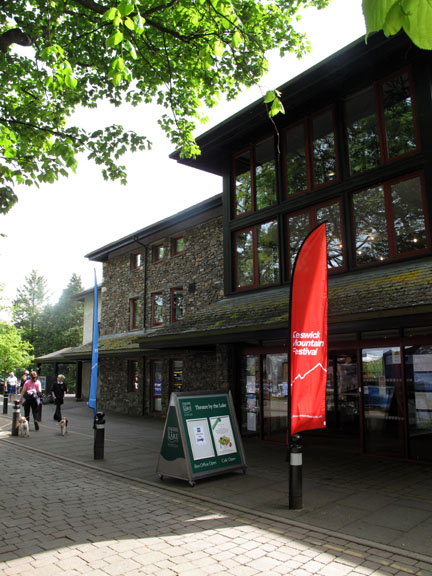
The walk started in the centre of Keswick. It's a scorcher of a day and sunglasses and a hat were needed . . . but I didn't have them with me !
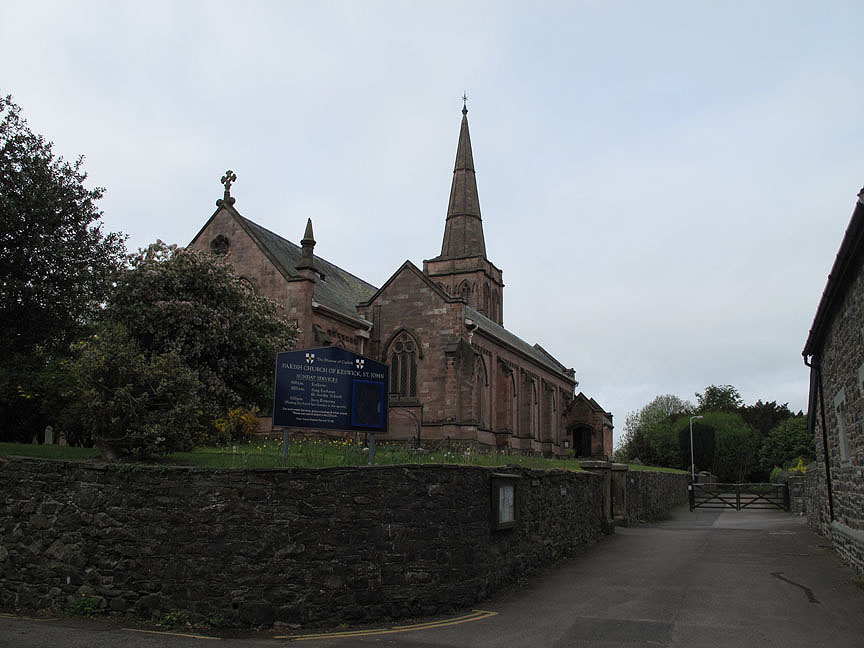
St John's Church on the way out of town.
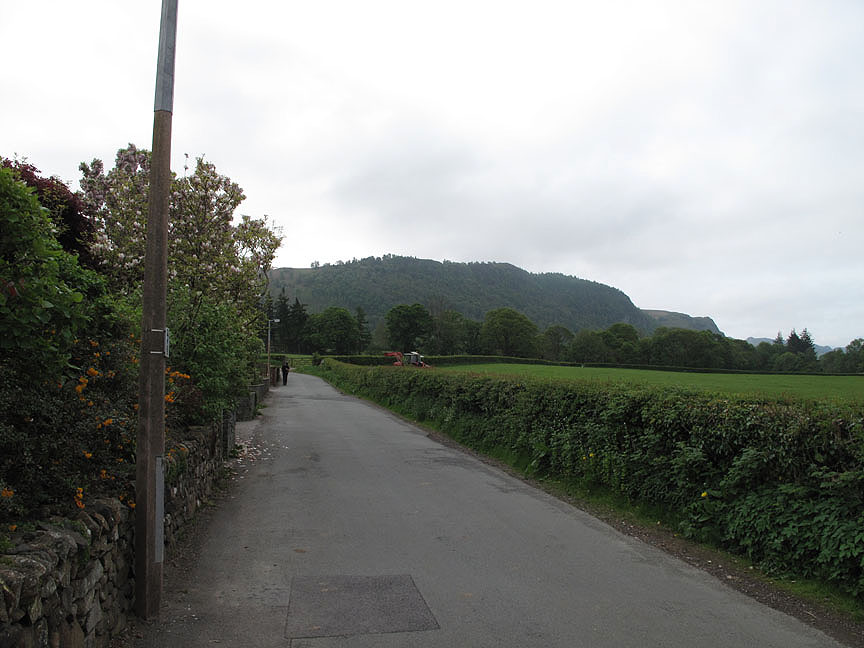
My high point of the walk in sight . . . Walla Crag.
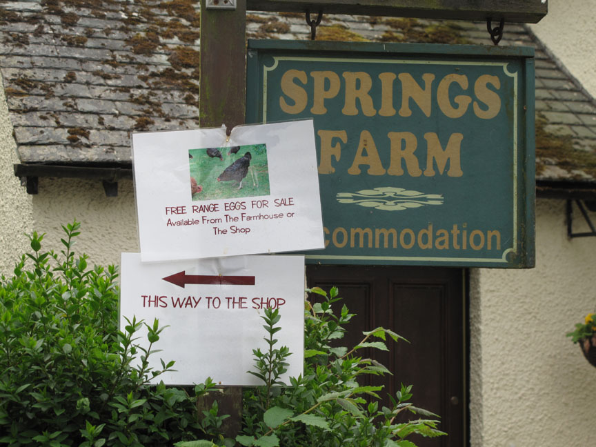
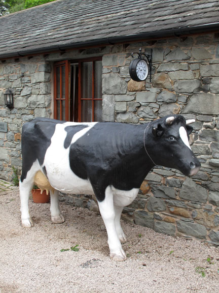
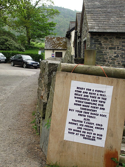
The route takes you past Springs Farm . . . where there are lots of goodies on offer.
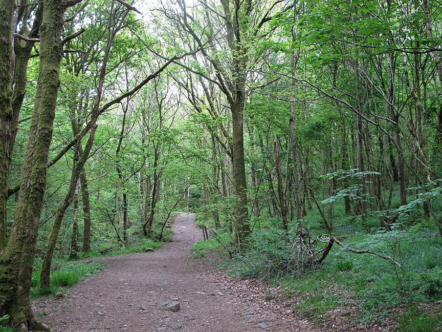
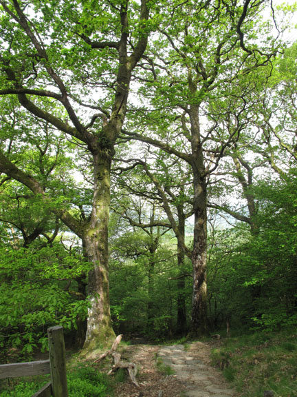
Up through Springs Woods and the temperature drops delightfully.
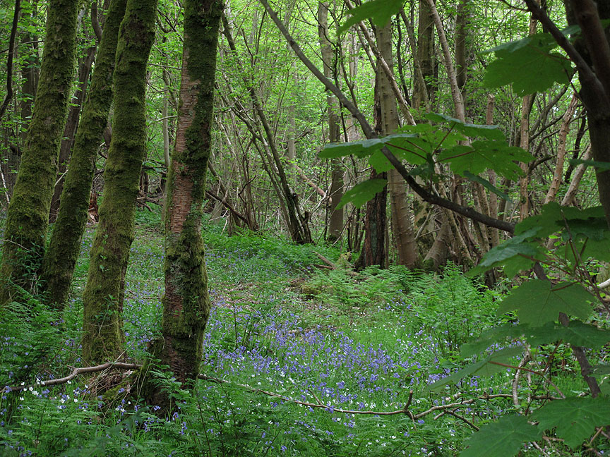
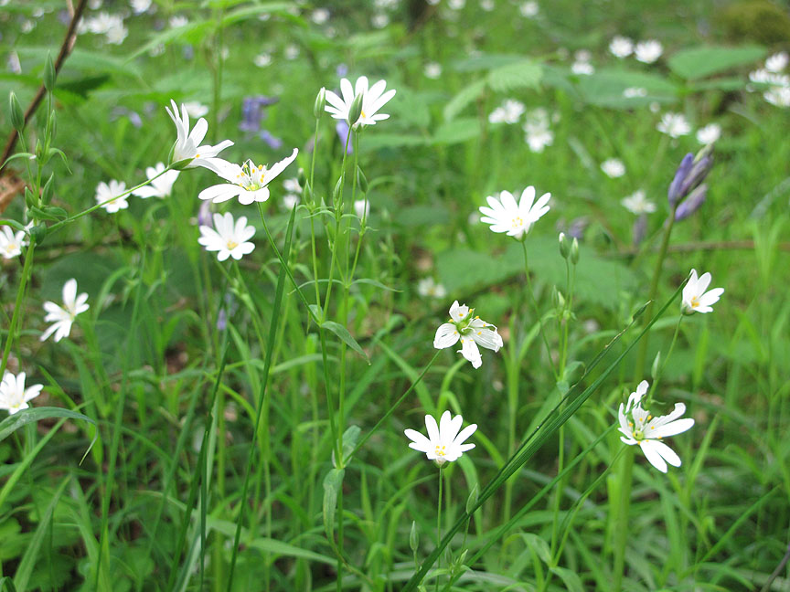
The bluebells are at their best at the moment.
These Greater Stitchwort are delightful too.
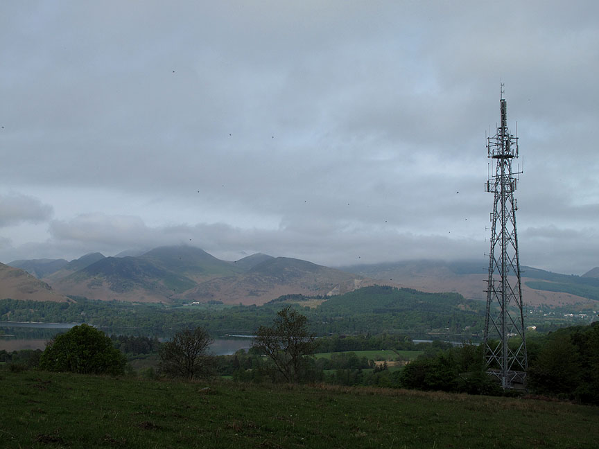
Open ground as I pass the Keswick TV Mast.
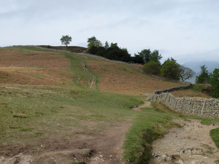
The Fell Gate . . . now you are out onto Walla Crag proper. The TV mast and Keswick can be seen below.
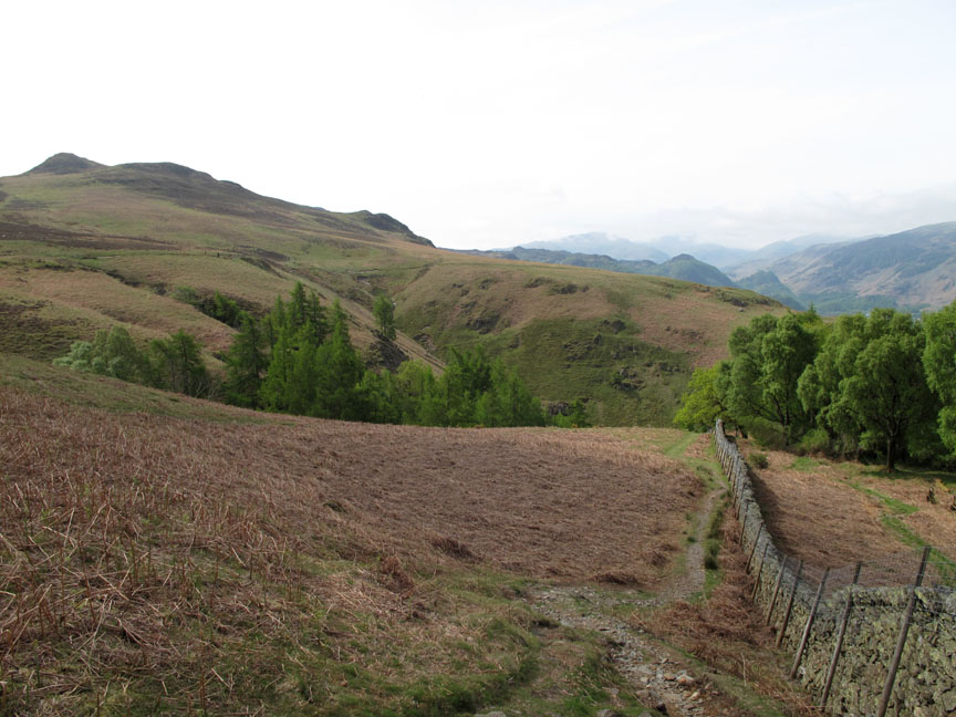
The path to the summit follows the wall and heads for the high ground.
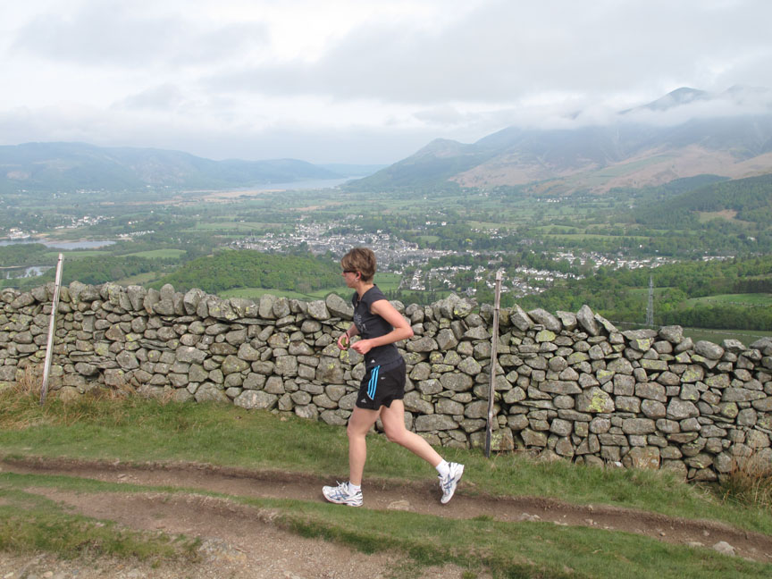
Someone is better dressed for the weather than I. My staff uniform, wool socks and boots are proving a little warm today.
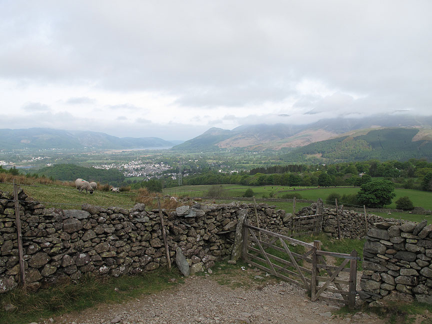
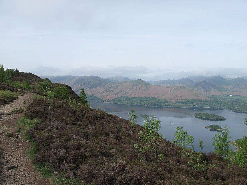
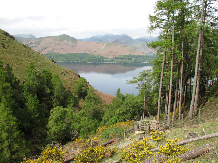
Through the gate and I get my first clear view of Derwent Water.
Keswick is spread out below as I gain height.
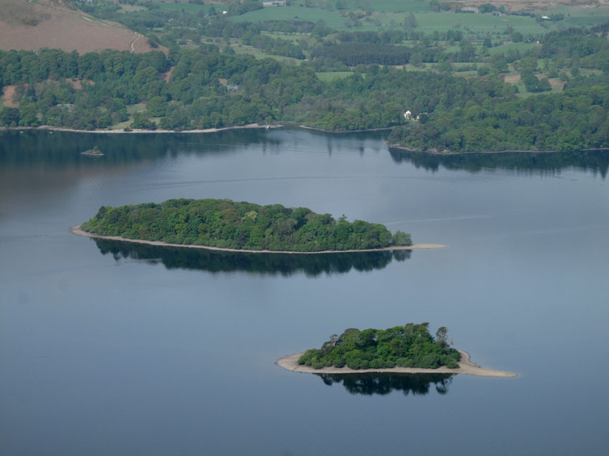
St Herbert's and Rampsholme Islands.
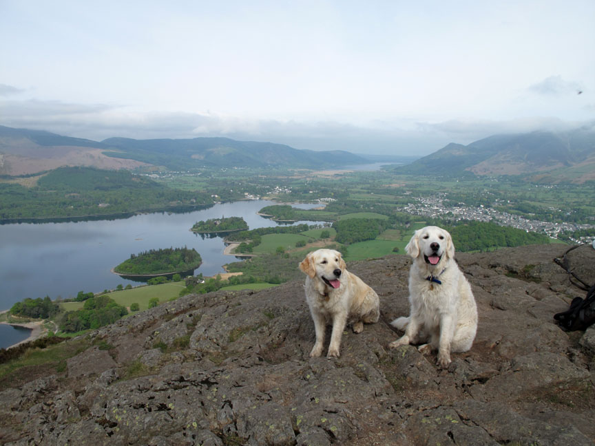
I don't remember putting Harry and Bethan in the car this morning ? That's because these two retrievers on Walla Crag were Ella and Josh from Hampshire. They were allowed to pose for a photo . . . but I know retrievers don't normally have to be asked, it just comes naturally.
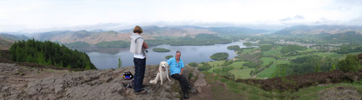
Click here or on the photo above for a wider annotated panorama.
I proceed on down towards Cat Gill after hiding some treasure for a Cub Scout group doing this course in a day or so. [ Sorry folks . . . if you follow my geo-trail later you'll have to provide your own treasure ]
Cat Bells and Causey Pike back this view at the top of the gill. It's a steep descent . . . mind where you're putting your feet . . . as AW famously said.
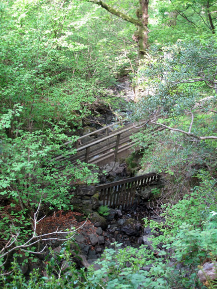
[ It's so hot today that I must admit stopping to refresh my face in the cool water . . . mmm ! ]
Across the Borrowdale Road and down to the lakeside.
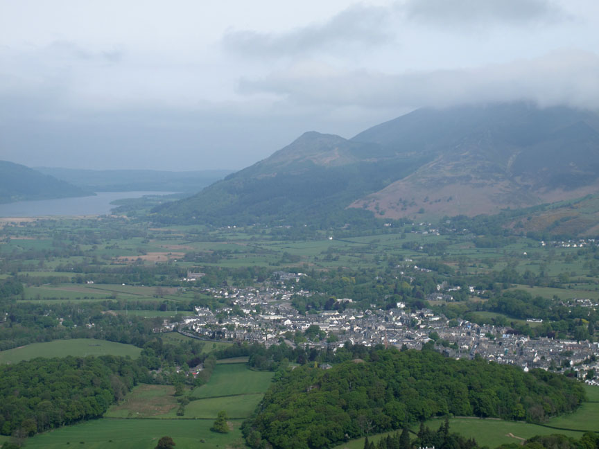
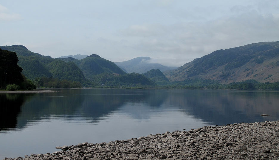
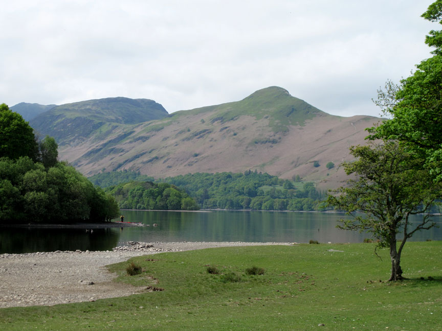
The view up the lake to Castle Crag in the Jaws of Borrowdale and Great End with a wisp of cloud in the background.
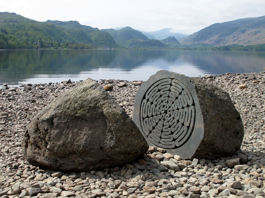
The route then takes the foreshore path back to town . . . but there's a boulder to find first . . . could that be it ?
No . . . this one looks more promising.
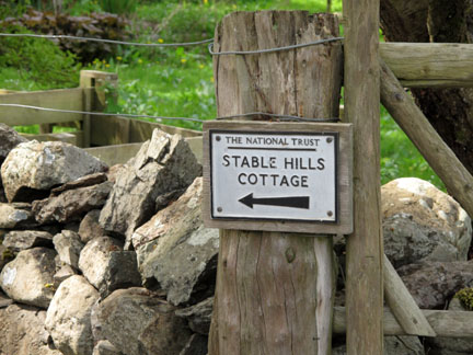
The Centenary Stone celebrated 100 years of the National Trust. It can be found near the promontory at Calfclose Bay.
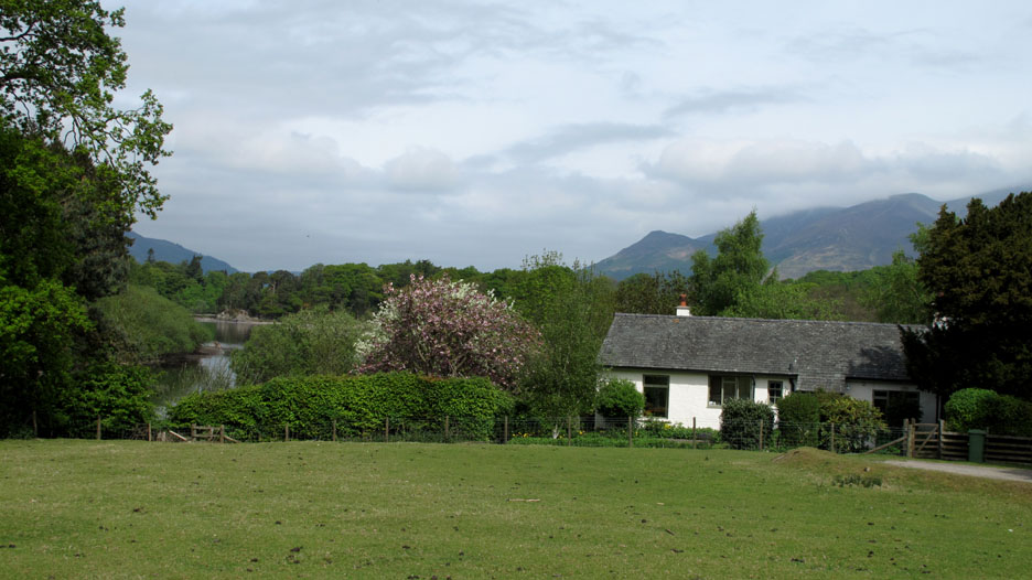
The cottage at Stable Hills overlooks Lord's Island.
Her Ladyship overlooks me !
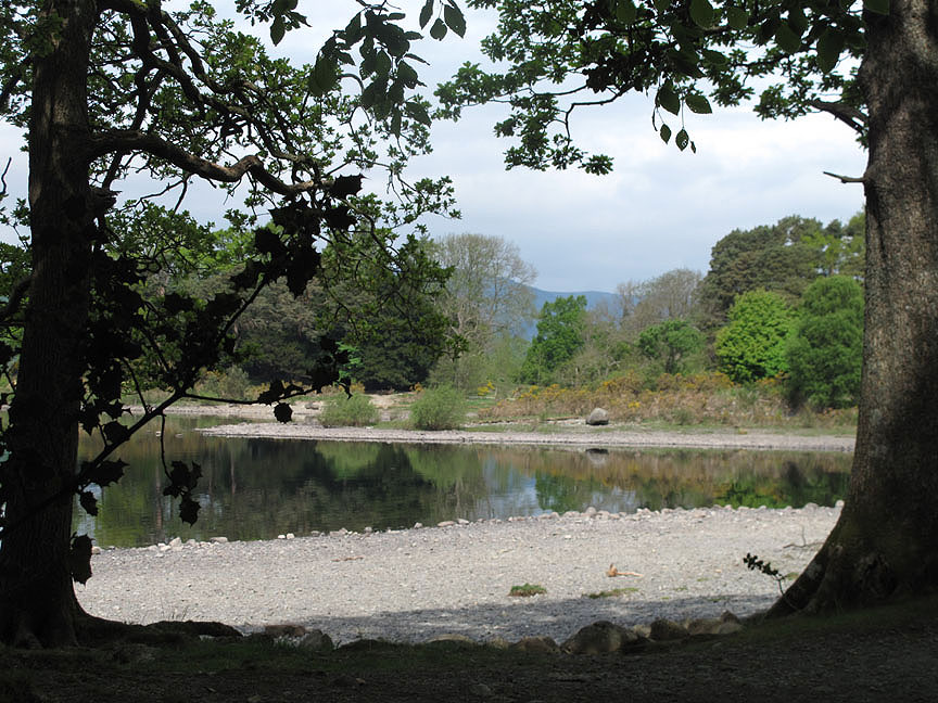
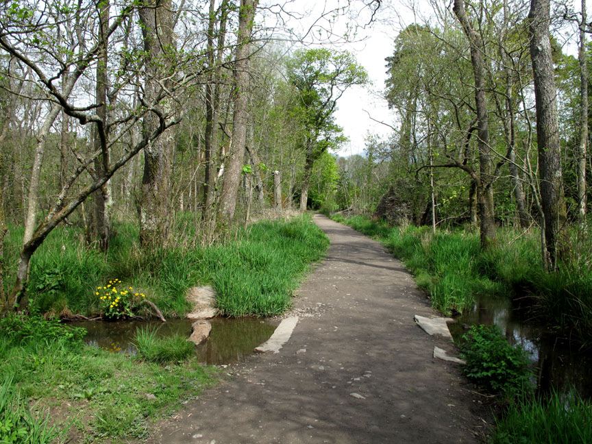
Ings wood brings a measure of coolness as I head back to town.
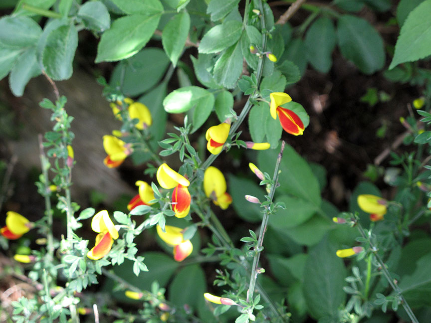
Colourful Broom along the way.
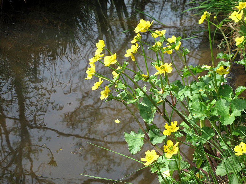
Large Buttercup like St John's Wort alongside the beck.
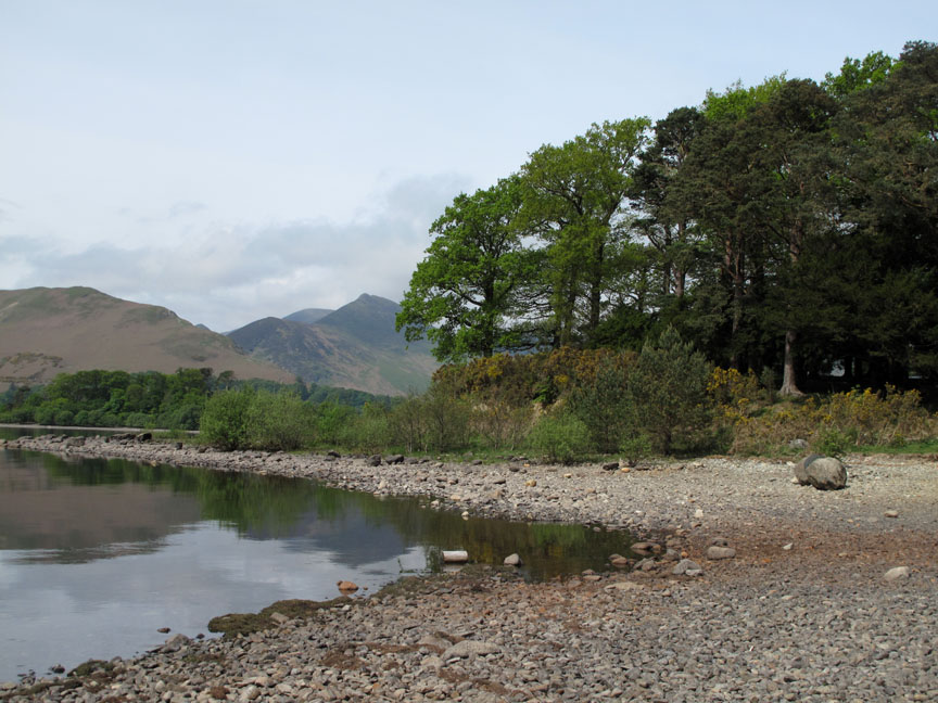
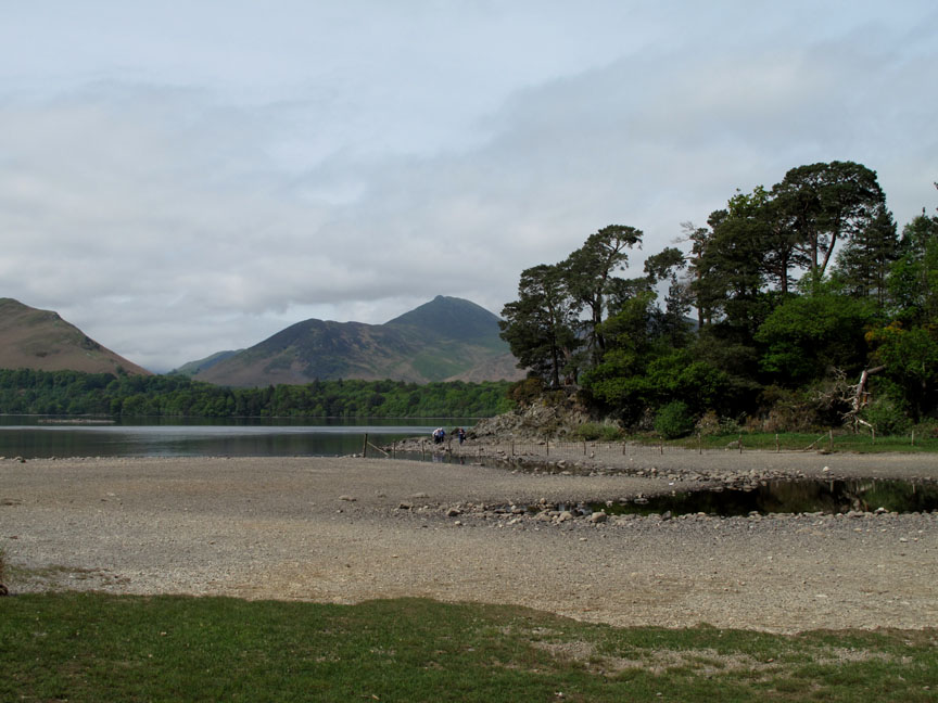
Catbells and Maiden Moor from Strandshag Bay.
The recent weather has been so dry that the bay next to Friars Crag is almost completely empty. If it were tidal . . . I'd say the tide was out !
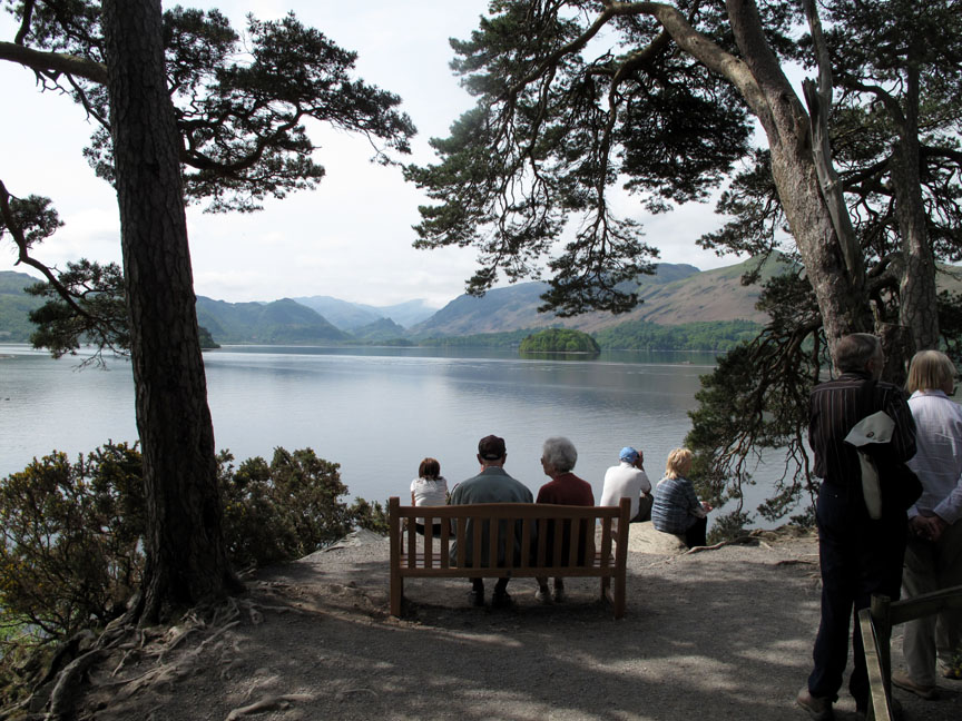
The view from the seat is as good as ever. Did I mention the people ?
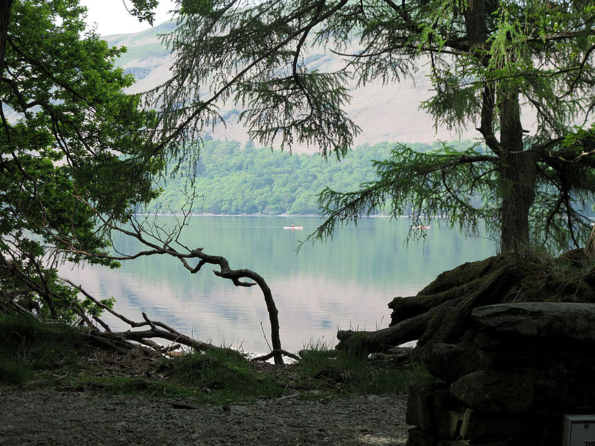
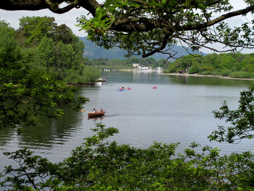
Summer is here and folk are out enjoying the lake.
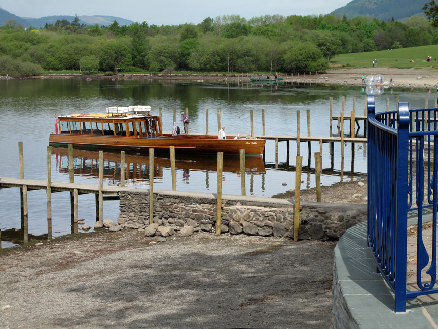
The Keswick Launch takes on it's first passengers for the next scheduled departure around Derwent Water.
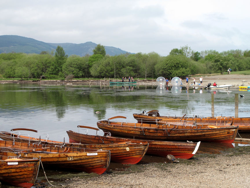
Giant bubbles in the background . . . the latest water sport . . . walking on water.
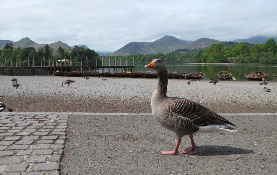
This guy has no need of bubbles . . . he's quite at home on water or in the air.
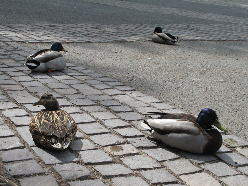
Mallard ducks relaxing in the partial shade of the boat landings.
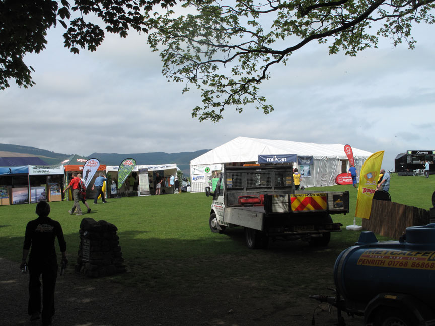
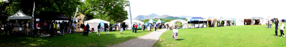
The site is being prepared for the Keswick Mountain Festival village this weekend.
A lot of the stands are open already and are attracting a lot of visitors.
Click here or on the photo above for a larger panorama of the site.
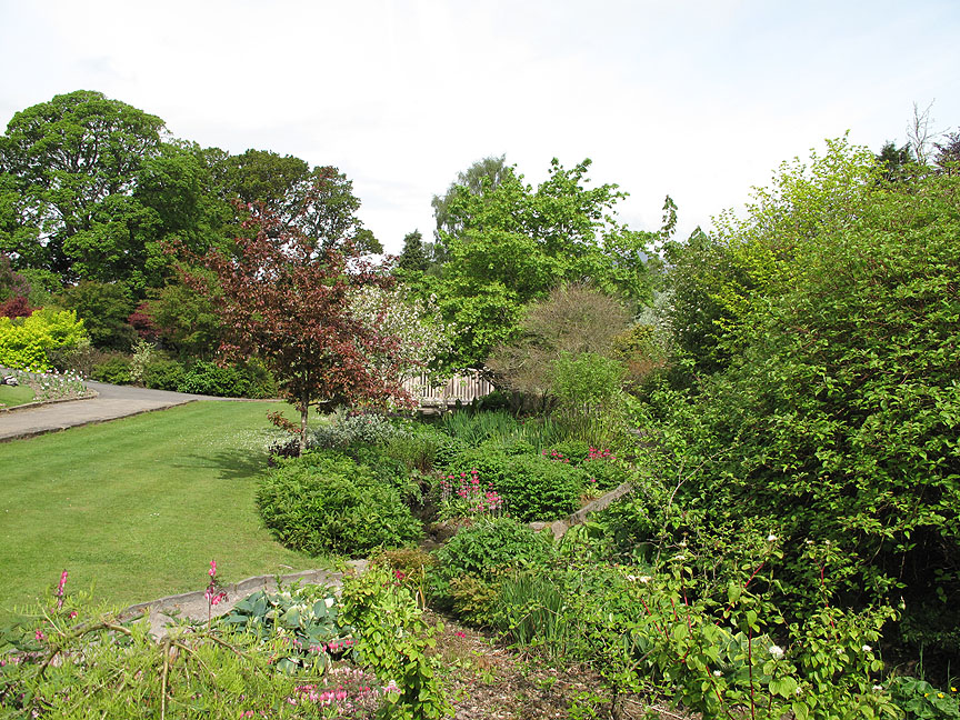
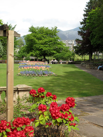
Today's route is a circular walk . . . so I head back through the park, passing the wonderful array of flowers.
Should you wish to follow this route yourself click on my Everytrail map link at the top of the page and download the Gps route file (see ... "Export this trip") [ It has been planned, walked and checked but as we're not walking with you it is at your own risk . . . as usual for this site] Have a great walk . . . and take a little longer than I did . . . in order to really enjoy the sights on offer. - - - o o o - - - |
Technical note: Pictures taken with my Canon G10 digital camera. Resized in Photoshop, and built up on a Dreamweaver web builder. This site best viewed with . . . three hours to spare to walk the route yourself. © RmH.2010 # Feel free to email me if you enjoy the route # or leave me a Guest Book Entry Previous walk - 20th May 2010 Dale Head to Buttermere A previous time up here - 8th January 2010 Snowy Walla Crag for sunset Next walk - 5th June 2010 The OFC Orrest Head Walk
|