![]()

Remember: Press F11 for a full
screen view of this page.
|
|
|
Remember: Press F11 for a full
screen view of this page. |
|
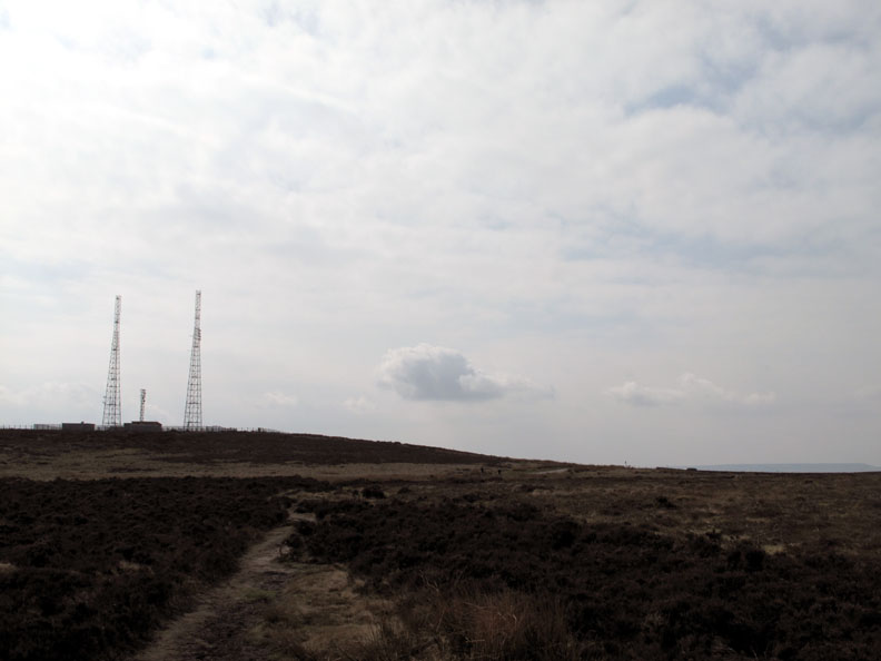
Ilkley Moor and the Cowper Stone Date & start time: Sunday 18th April 2010, 10.15 am start. Location of Start : The Radio Masts, Morton Moor, Ilkley, W.Yorkshire, Uk ( SE 102 453 )) Places visited : Cowper Stone, Badger Stone, Wicken Tree Crags, back via the moorland road. Walk details : 2.6 mls, 325 ft, 1 hr 30 mins. Highest point : Morton Moor 1260 ft ( 388m ) Walked with : Liz (Lemal) Ann and the dogs, Harry and Bethan. Weather : Overcast and hazy compared to yesterday.
|
|
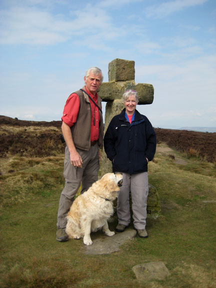
Following yesterday's Yorkshire walk we stayed on at Liz's house overnight and ventured out onto Ilkley Moor on the Sunday . . . without any visible vestige of head-wear it must be said.
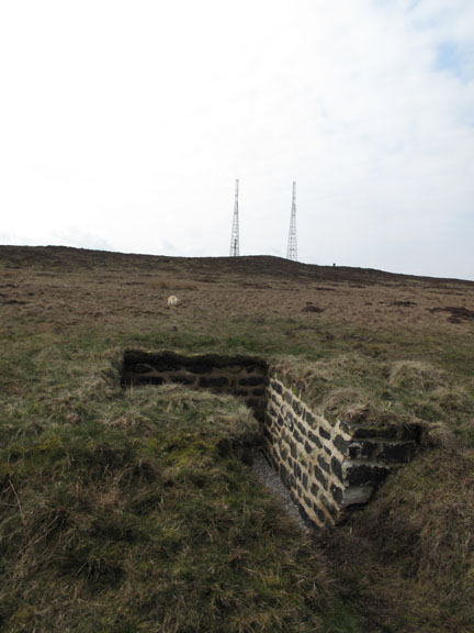
Morton Moor Radio Masts and off road parking next to their perimeter fence was extensive and very handy.
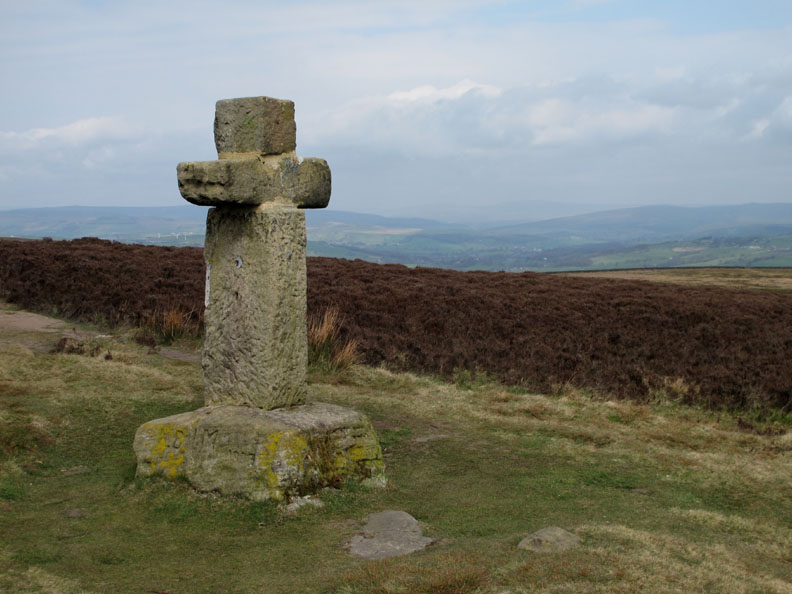
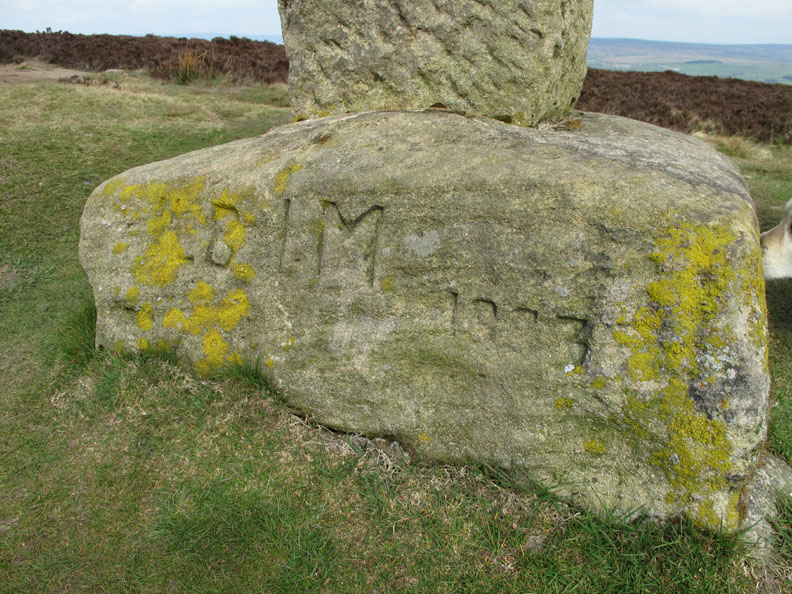
Thought to be a very ancient stone, it has been repaired after being struck by lightening many years back.
An inscription of unknown origin, possibly graffiti from 1883, as the stone is much older.
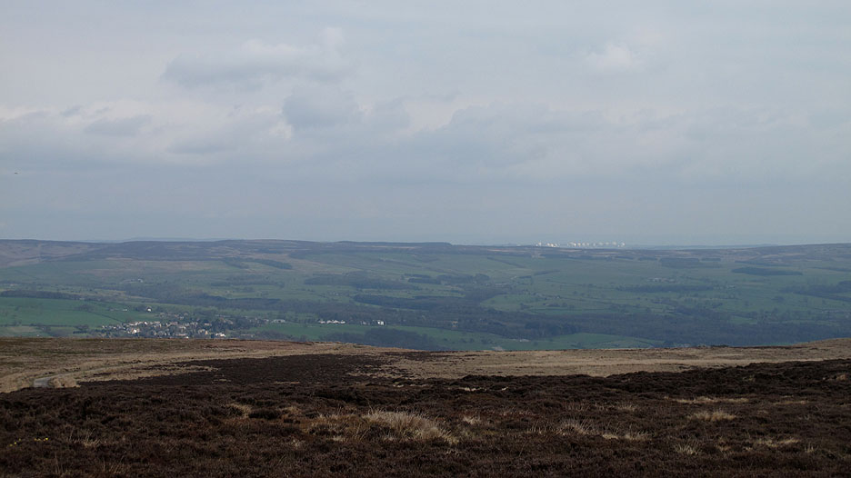
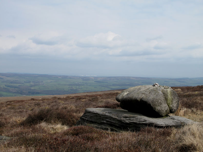
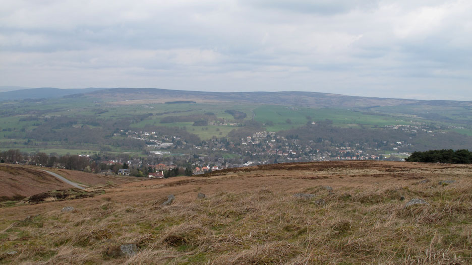
Menwith Hill Camp with it's ever expanding radar golf balls in the distance, seen over the village of Middleton, part of the town of Ilkley in Wharfdale below.
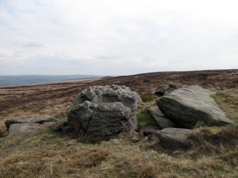
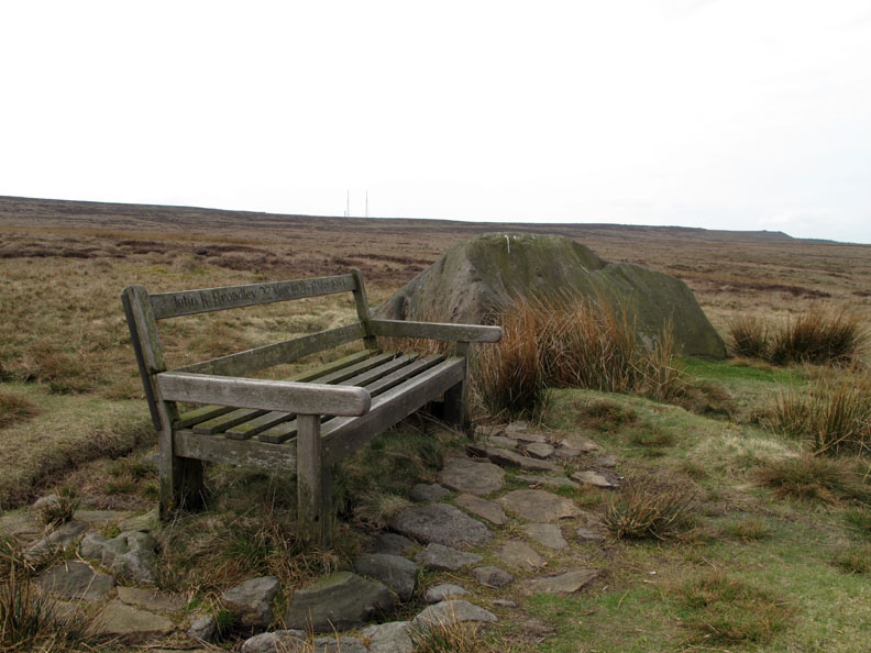
One of several grit stone boulders that are scattered across the moor.
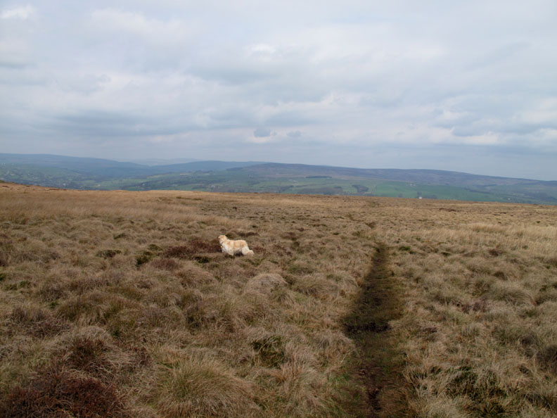
We take a small path heading north across the moor in an attempt to see down into Wharfdale.
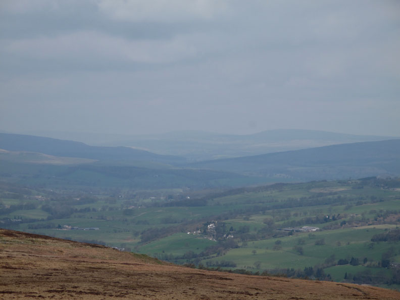
A hazy day today as we look up the Wharf Valley In the distance, to the left, is Great Whernside that we looked across at yesterday from Buckden Pike.
More rocks on the moor. Many of these stones have ancient 'Cup and Ring' markings of considerable antiquity.
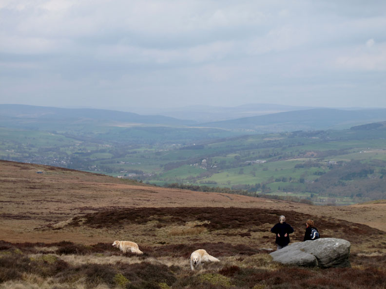
The girls stop at another to admire the view.
I believe this one may be called the Badger Stone. Folklore has it that this is where markets or gatherings were possibly held around the time of the equinoxes in medieval times.
A little closer to the gentle edge and we manage a view of the western end of Ilkley Town. The famous Cow and Calf Rocks are further round to the right it seems.
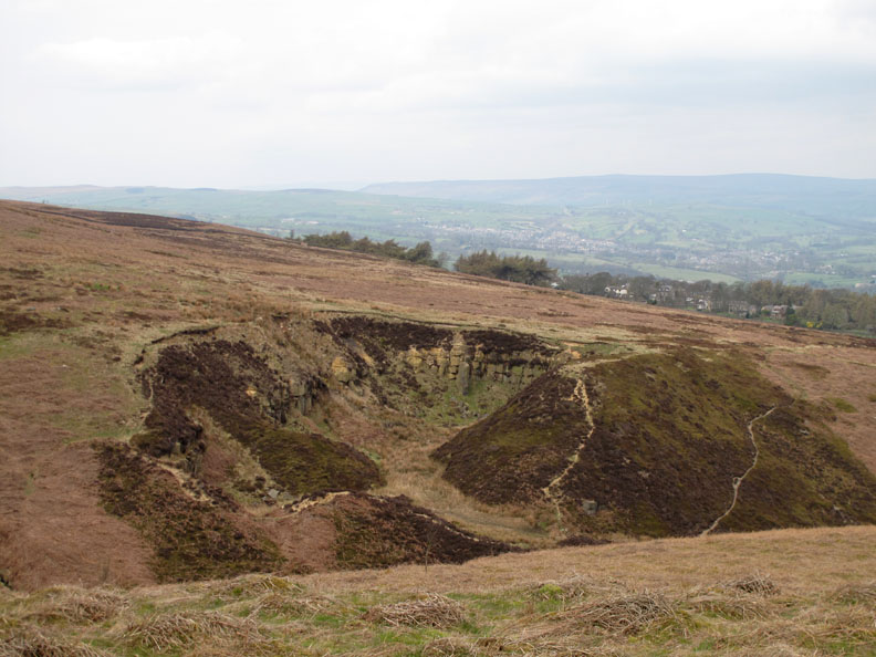
An old quarry, long since abandoned and overgrown probably provided much of the local building stone for the town. To complete the walk we skirted round the head of this valley (Spicey Gill) and headed back up the moorland road towards the cars parked at the radio masts. It seems the route over the moor (shown on the map as Keighley Road) follows the route of an old Roman Road. Full of history this place it seems ! - - - o o o - - - |
Technical note: Pictures taken with either Ann's Canon 75 or my Canon G10 digital camera. Resized in Photoshop, and built up on a Dreamweaver web builder. This site best viewed with . . . a hat . . . and a history book ! © RmH.2010 # Email me here # or leave me a Guest Book Entry Previous walk - 17th April 2010 Buckden Pike with the OFC A previous time up here - 17th Nov 2007 On Ilkley Moor - bah'torch Next walk - 21st April 2010 Bowness Knott and Contrails
|