![]()

Remember: Press F11 for a full
screen view of this page.
|
|
|
Remember: Press F11 for a full
screen view of this page. |
|
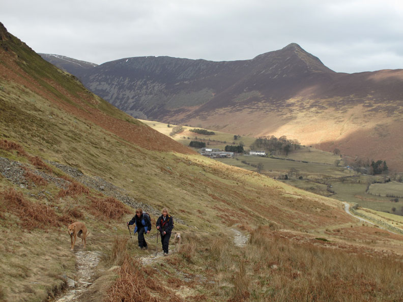
Catbells from Little Town Date & start time: Sunday 14th March 2010, 12. noon start. Location of Start : Chapel Bridge, Newlands, NW Cumbria, Uk ( NY 232 194 ) Places visited : Little Town, Hause Gate, Cat Bells, Skelgill Bank, Skelgill and back. Walk details : 3.8 mls, 1125 ft, 3 hrs 25 mins including lunch. Highest point : Catbells 1481 ft ( 451m) Walked with : John, Jo, Ann and the dogs, Jodie, Amber, Polly, Harry and Bethan. Weather : Overcast but with some good sunshine. A slightly cool breeze on top.
|
|
A midday walk up one of the iconic Lakeland peaks for John, Jo and Ann and myself. Surprisingly few people on top . . . but a surprise from the people we did actually meet.
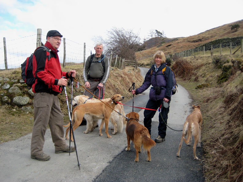
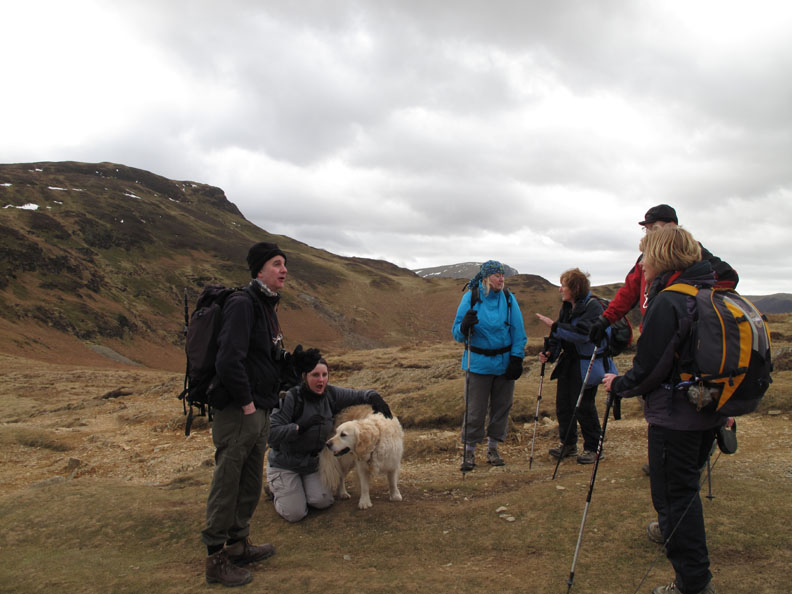
" Crufts on tour " A group photo by Ann this time, taken on the road leading to Little Town.
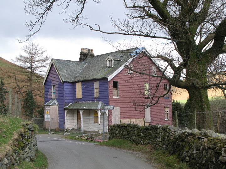
A photo from the archive . . . the Purple House at Rigg Beck. This was a landmark property in recent years but following the death of the owner it became very dilapidated and eventually burnt down. It's colour reflected the artistic nature of the owner who painted it to complement the colours of the heather on neighbouring fells, or painted it as a snub to the apparent draconian planning regulations of the national park authority . . . I'll leave you decide which which was the real reason.
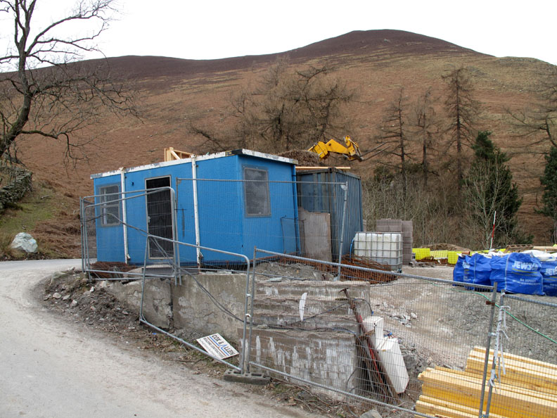
Eventually the site was bought and cleared ready for re-building which has now begun. I had heard the owner had received planning permission for two houses but it was only a rumour so the sight that greeted us as we turned the corner was quite a surprise.
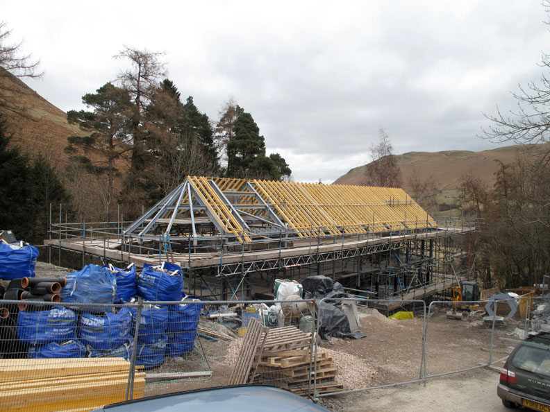
Set down below the road was a large steel framed building in course of construction . . . an architects dream come true. It will be an interesting, modern building and I look forward to seeing it finished and fully landscaped. It should be good.
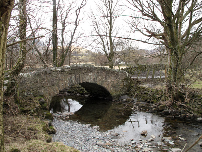
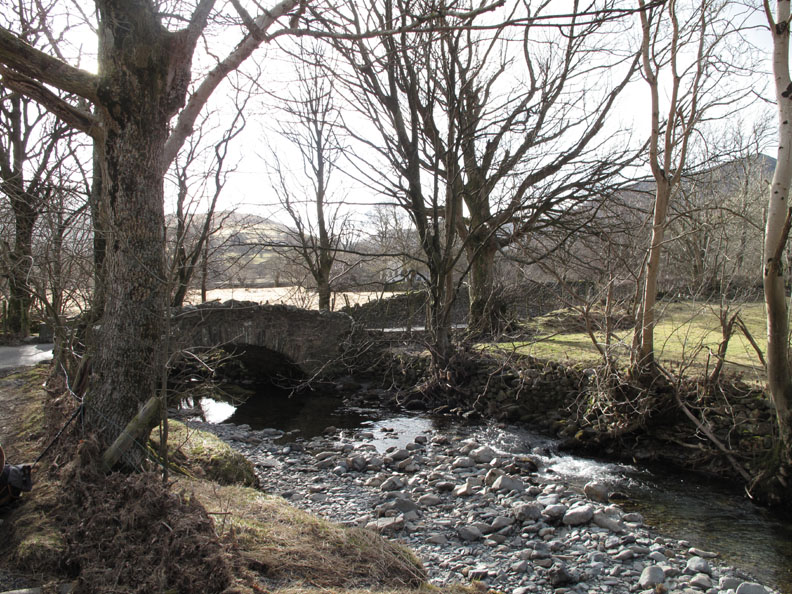
. . . and so to our parking spot just a little further down the hill alongside Chapel Bridge in the Newlands Valley.
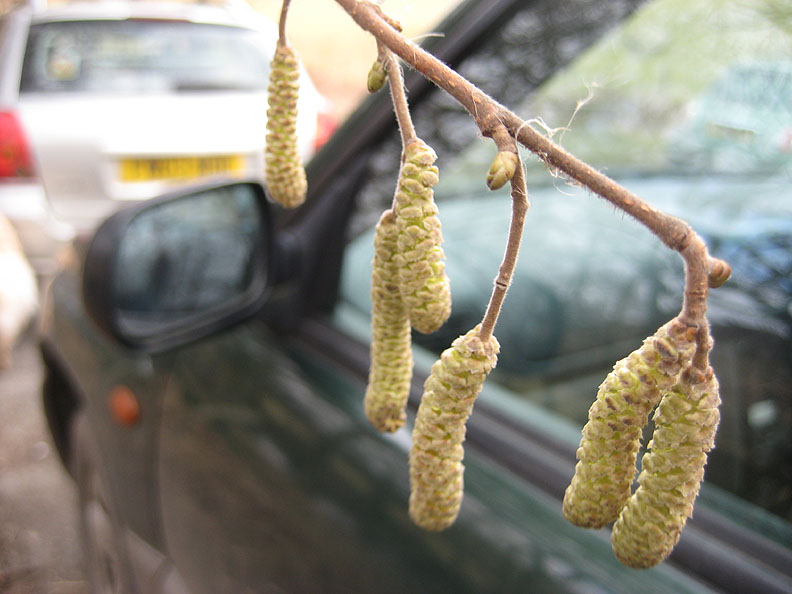
Spring is in the air . . .
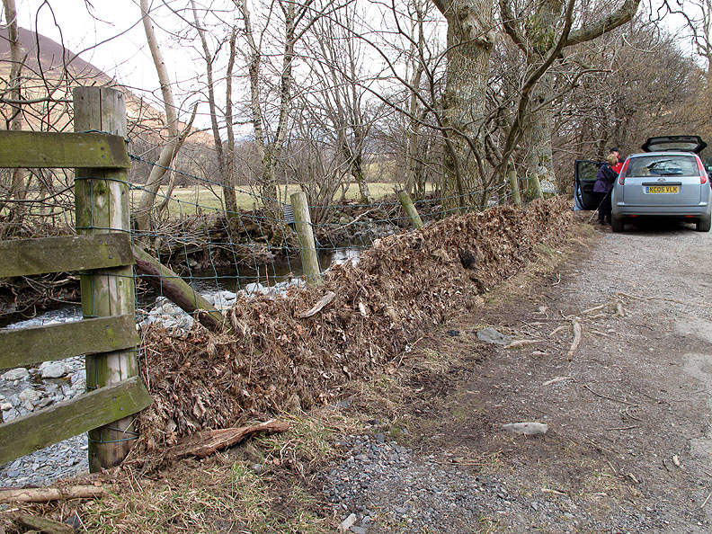
. . . but signs of the winter floods are still evident. This fence was full of debris so the water level at this point must have been at or above fence level during the November floods.
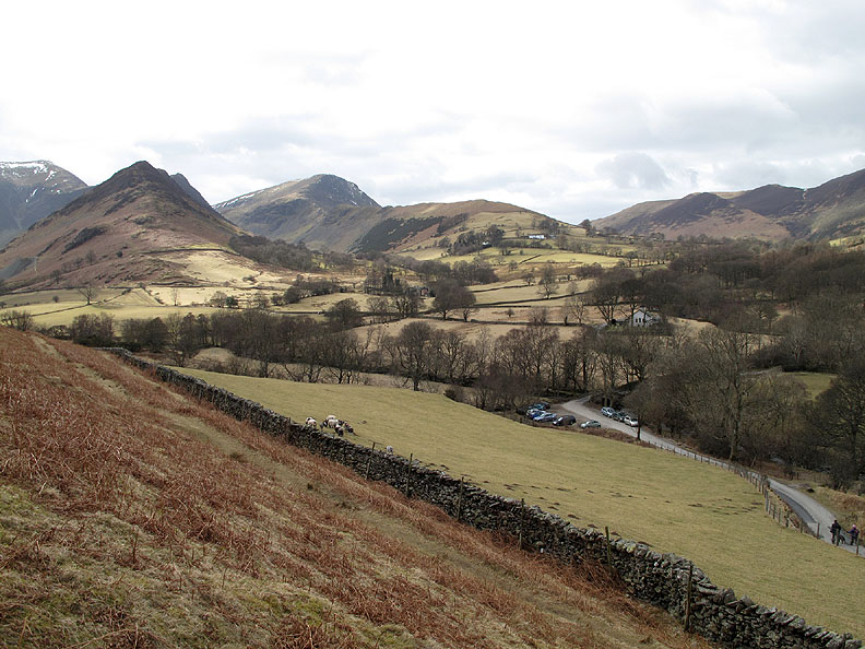
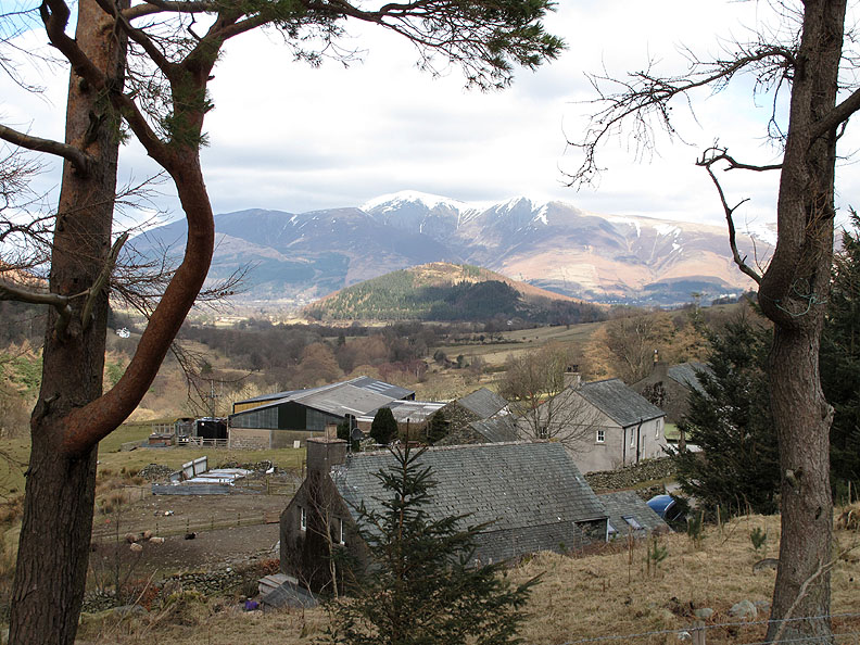
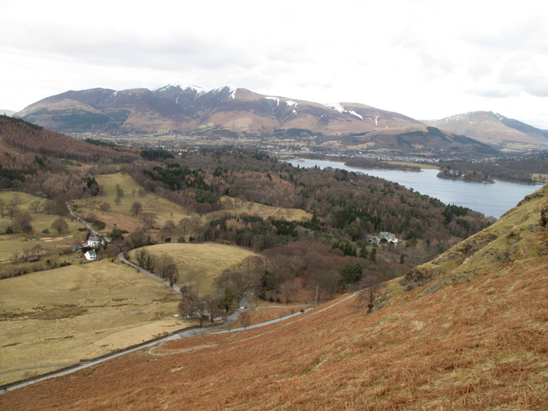
Looking back at the car soon after we started, but what catches the eye are the twin peaks of Hindscarth and Robinson and their spurs, Scope End and High Snab Bank that dip down into the Newlands Valley.
John's favourite house within Little Town . . . but someone else bought it just before he found it ! Looking over the house to the rest of the hamlet and to the snow capped summit of Skiddaw beyond.
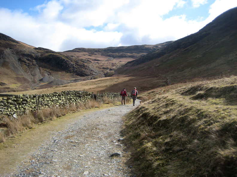
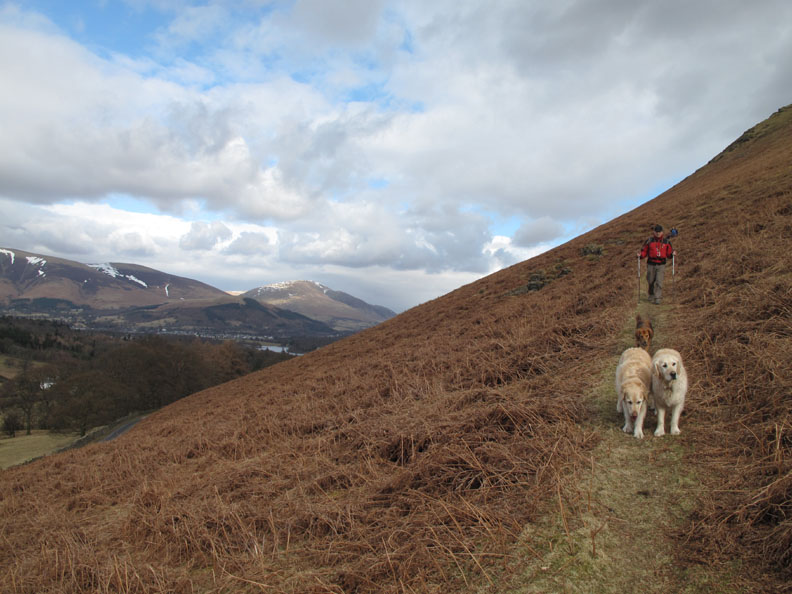
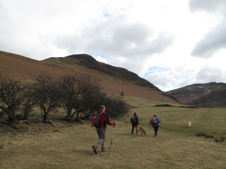
John and I stride out, up the lane to the Yewthwaite mine complex.
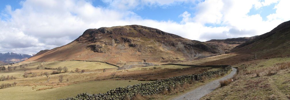
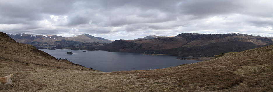
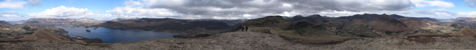
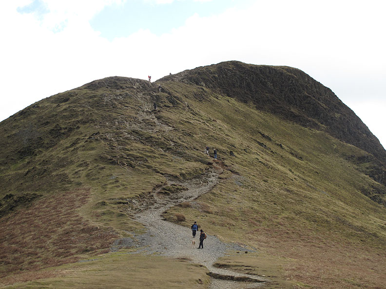
The panorama of Catbells taken from just above the track.
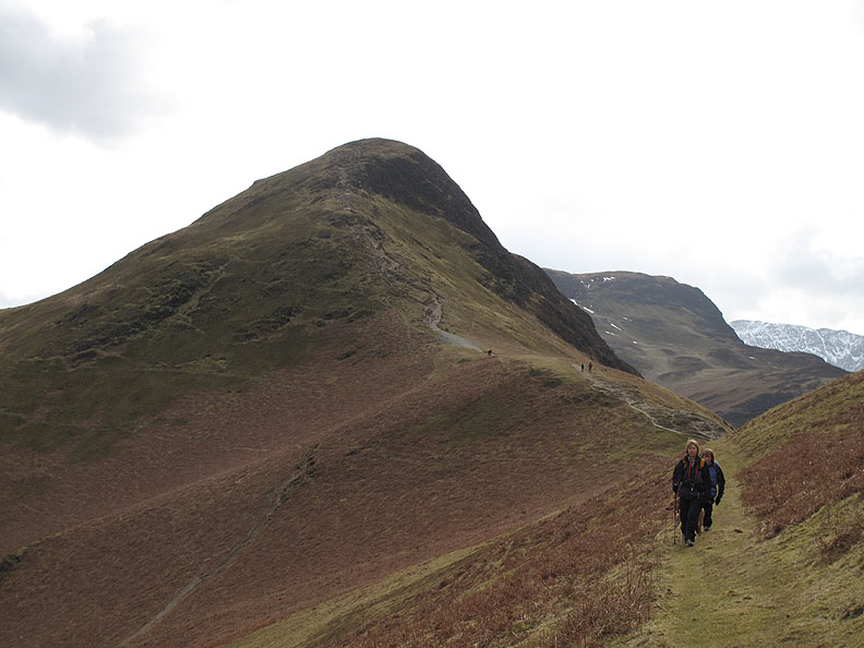
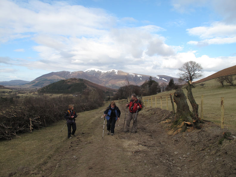
A very short distance behind us, Ann and Jo, now on the footpath leading up to Hause Gate. the distinctive peak of Causey Pike in the background.
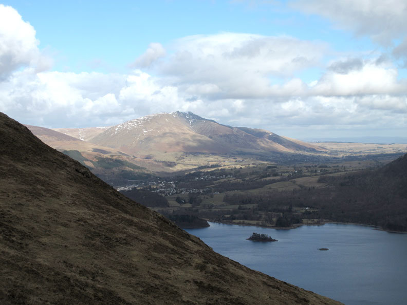
The view from Hause Gate. No gate here any more, there may not have ever been one in the first place but the view as you reach the crest of the hill is superb. To the left Skiddaw and Blencathra, below is Derwent Water and across the way, Walla Crag and Bleaberry Fell.
The path we climbed then descends towards Brandlehow but we will turn left here for the summit of Catbells.
I mentioned we met some folk on the walk . . . A shout from along the path and we were talking to Lin, Chris and Debz, friends of ours from the OFC. They recognised us first, but perhaps I should say they recognised the dogs first, then us !
Lin, Chris and Debz headed south for Maiden Moor and Rosthwaite and we headed north a short distance to the summit of Catbells.
Light and shade over the Lakes.
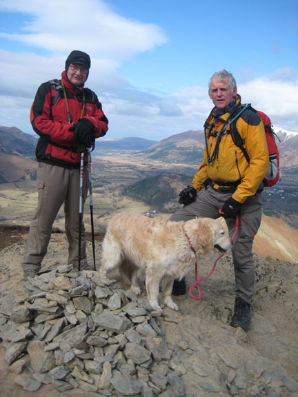
John reaches the rocky summit of Catbells . . . the clarity of the air was superb.
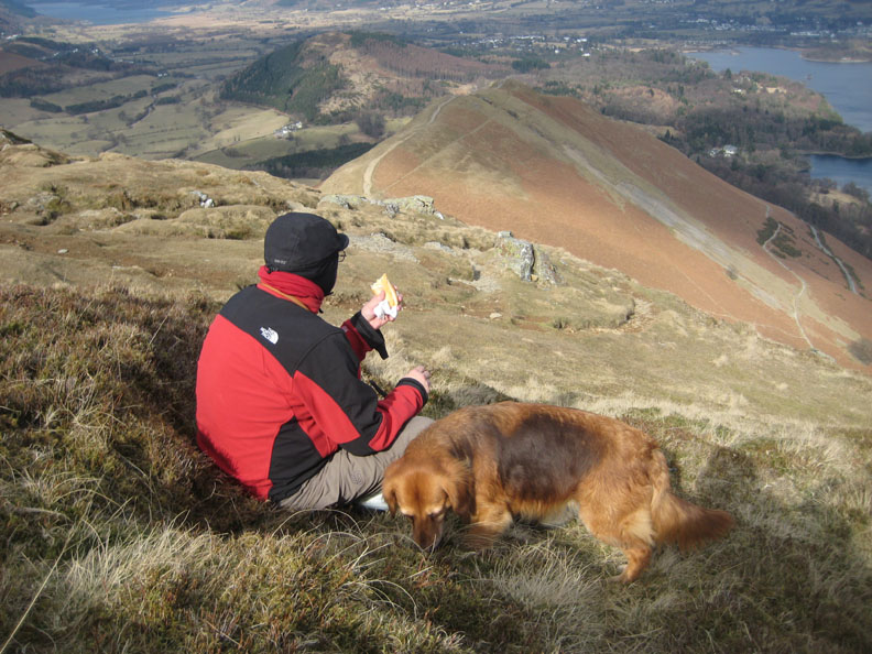
Time for a break . . . time for a . . . sandwich.
Bethan and Harry gets their lunch . . . but it's dog biscuits for them.
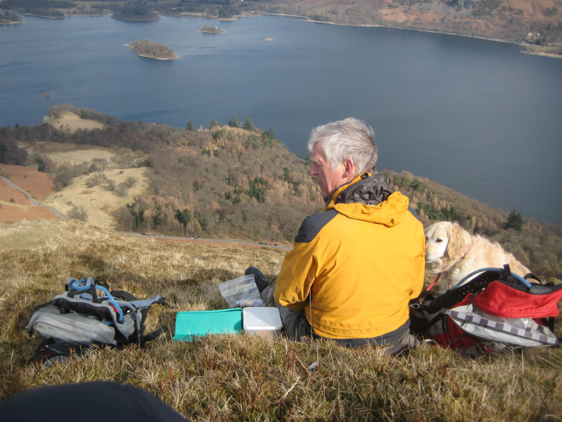
Jo enjoys her lunch with a view.
Looking down on Little Town.
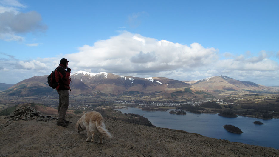
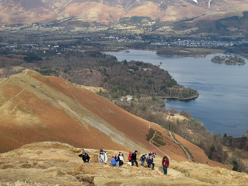
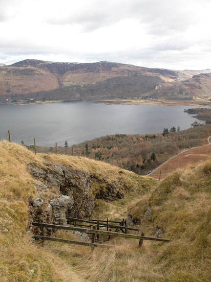
Unusually there was no-one on the summit as we arrived but the expected crowds were not far away. Looking up we can see the northern end of Derwent Water and the houses of Keswick.
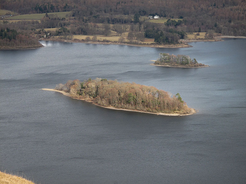
St Herbert's Island in the centre of the lake is bathed in sunshine.
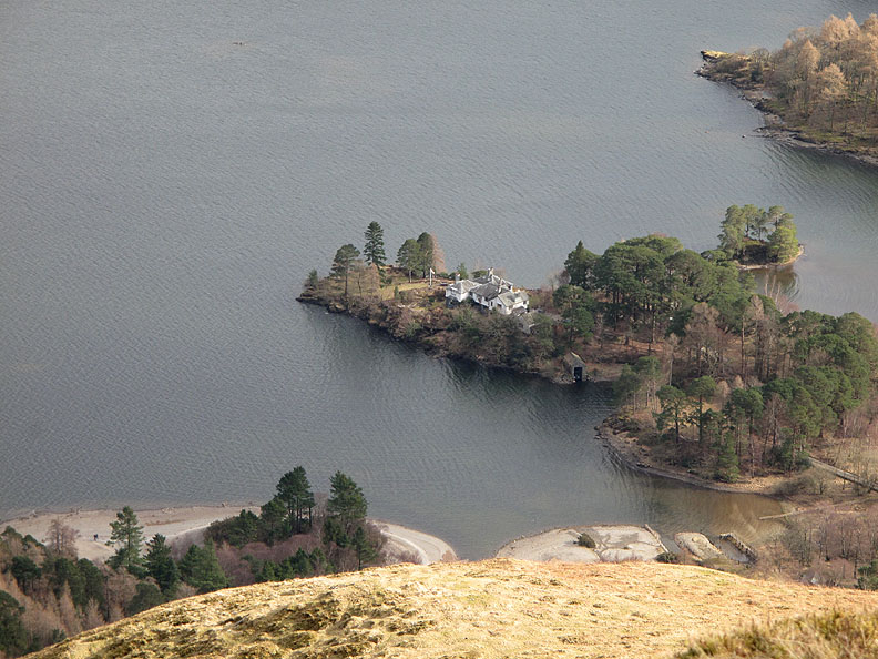
Similarly, Brandlehow Point and it's rather fine house.
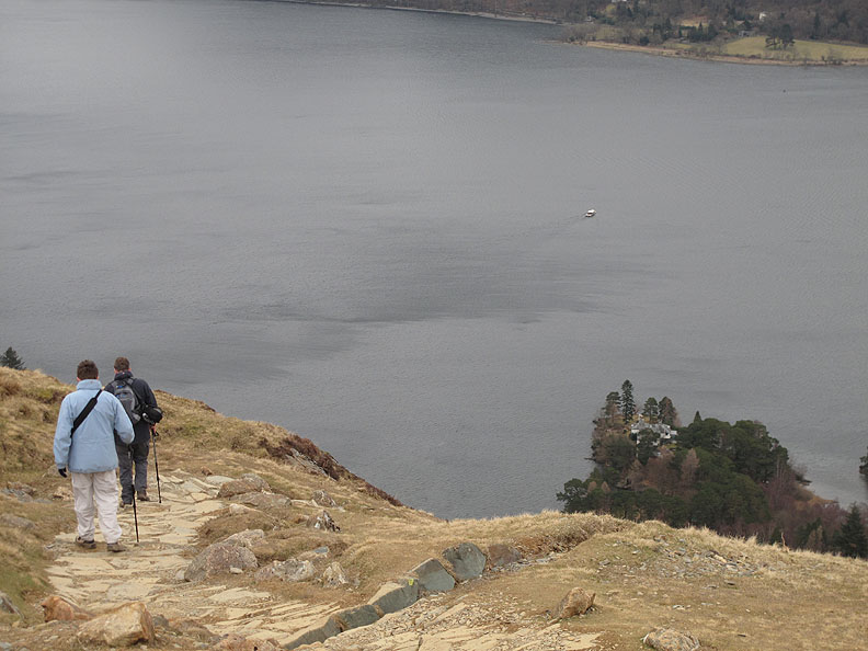
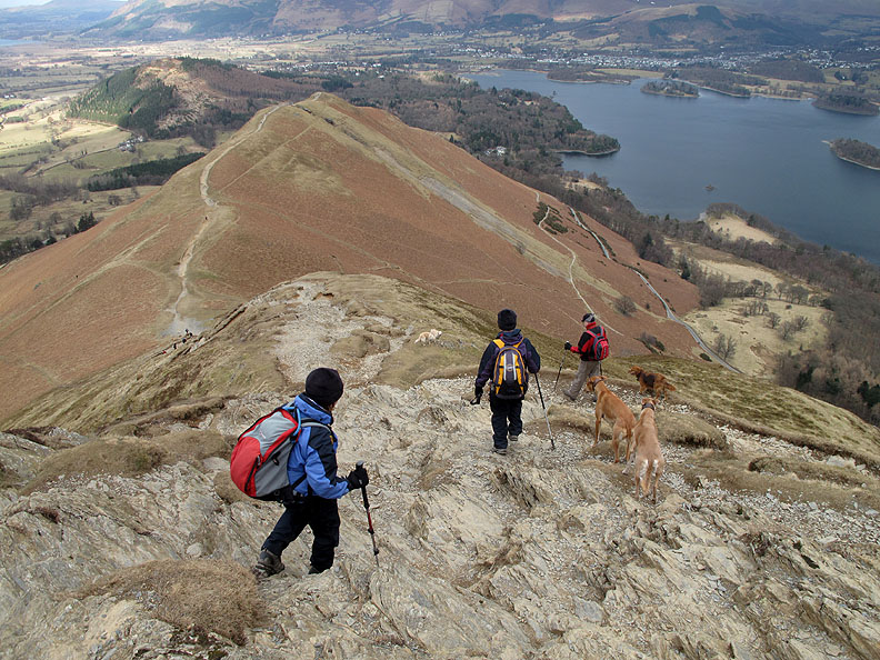
Starting the descent of the northern end of Catbells . . . the bare rock is evident but what was rather unexpected was the very polished nature of the rock as a result of the passage of numerous feet.
Whoever said Catbells was an easy climb was slightly inaccurate. That's quite steep !
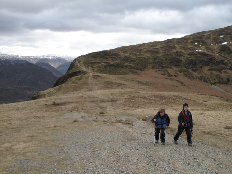
Jo and Ann walking a track slightly below the summit path.
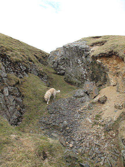
The Brandlehow and Old Brandley Mine worked a lode for lead ore on the Derwent Water (eastern) side of the fell.
We continued on down the northern end of the fell.
Rather than descend to the cattle grid on the hairpin bends at Hawes End we take a side track, diagonally down towards Skelgill Farm.
We take the middle of three possible routes back to Little Town. Our choice was the valley road, the mine track or this footpath through the fields.
New fencing replaces an old Hawthorn hedge . . . a rather drastic option it seemed to us. It is difficult to imagine the hawthorn recovering from such heavy pruning.
In the next field, an example of the sort of old field hedge that they were presumably replacing.
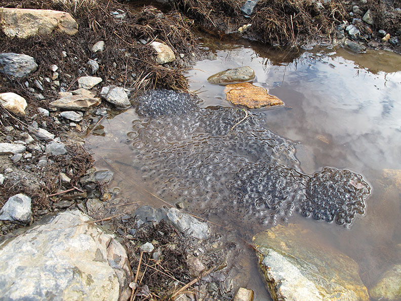
Spring is in the air . . . and new frog spawn in the pool.
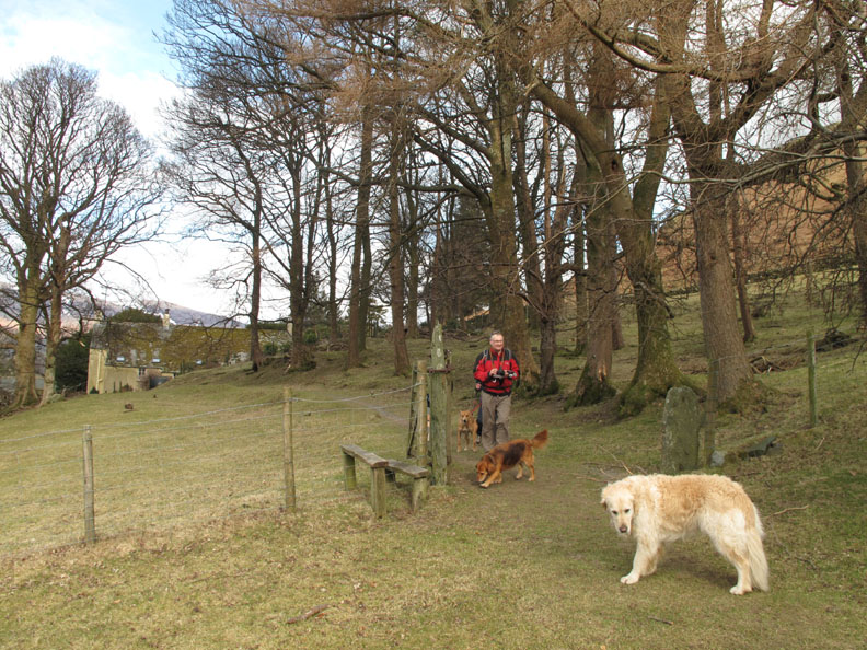
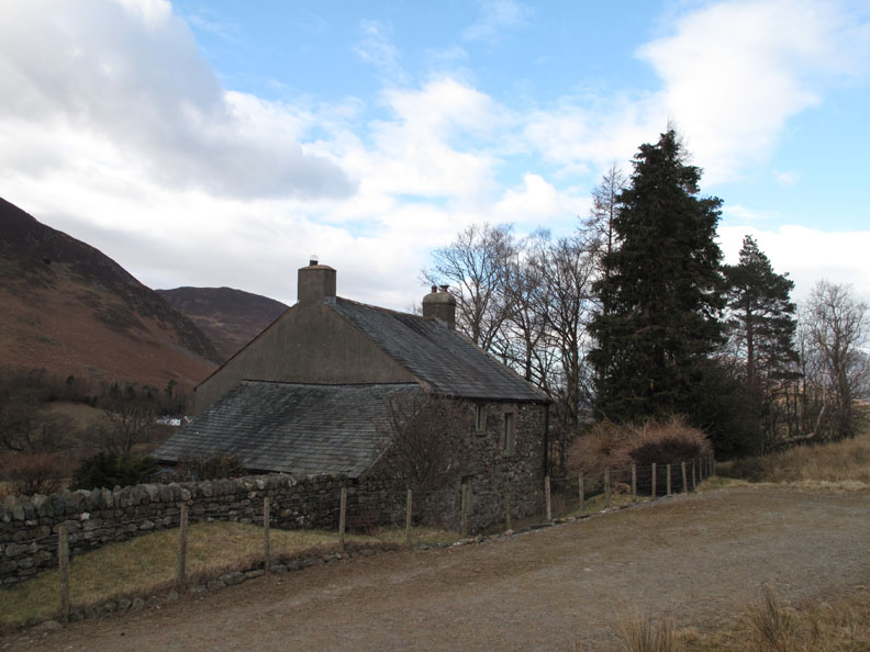
An old building marked on the map as East House is still inhabited, if only on an occasional basis.
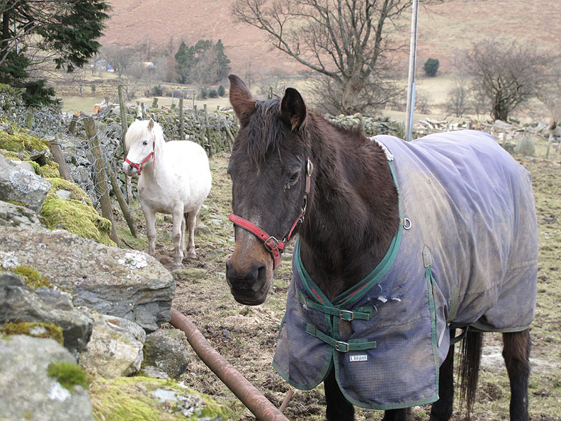
The ponies back at Little Town towards the end of the walk.
A low sun washes out the colour from the sky as we reach the cars again. - - - o o o - - - |
Technical note: Pictures taken with either Ann's Canon 75 or my Canon G10 digital camera. Resized in Photoshop, and built up on a Dreamweaver web builder. This site best viewed with . . . friends in high places. © RmH.2010 # Email me here # or leave me a Guest Book Entry Previous walk - 13th March 2010 Stickle Pike and Caw fell A previous time up here - 20th March 2007 Catbells, and another visit to the Vet Next walk - 23rd March 2010 Mellbreak with John Grayson
|