![]()

Remember: Press F11 for a full
screen view of this page.
|
|
|
Remember: Press F11 for a full
screen view of this page. |
|
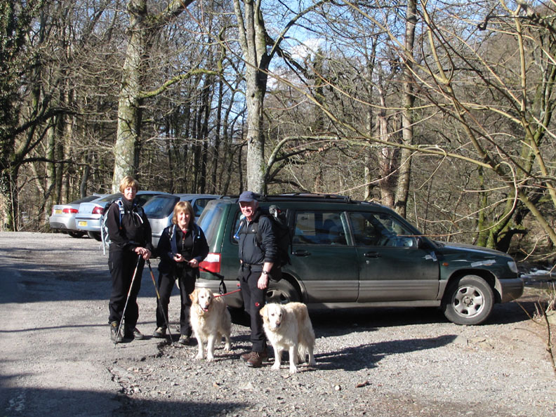
Lily Tarn and Loughrigg Fell Date & start time: Tuesday 9th March 2010, 10.50 am start. Location of Start : Roadside at Clappersgate Bridge, Ambleside, Cumbria, Uk ( NY 367 035 ) Places visited : Clappersgate, Lily Tarn, Loughrigg, Elterwater (Britannia) R.Brathay to Skelwith Bridge. Walk details : 7.4 mls, 1500 ft, 5 hrs 20 mins including lunch and other refreshments ! Highest point : Loughrigg Summit 1,101ft ( 335m) Walked with : Sherran and Bill, Ann and the dogs, Harry and Bethan. Weather : Beautiful to start but clouding over.
|
|
It's always great to meet up with friends and this week Bill and Sherran are up in the Lakes. Together we climb Loughrigg, a popular fell and Sherran's favourite but we chose a route that Ann and I haven't done before.
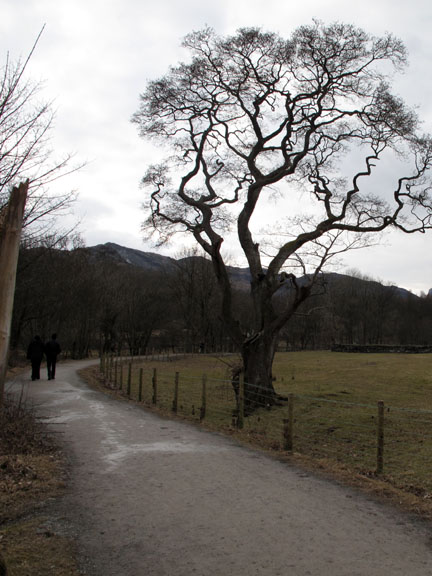
The start at Clappersgate Village, parking over the bridge on the back road to Skelwith Bridge.
The River Brathay. We would walk full circle and walk alongside the upper reaches of the river later in the day.
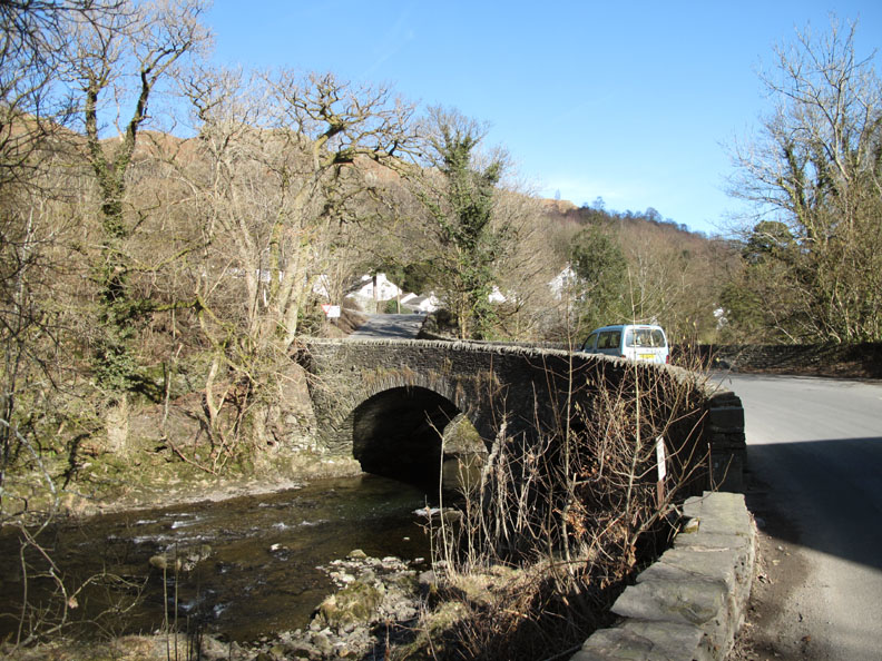
The bridge at Clappersgate.
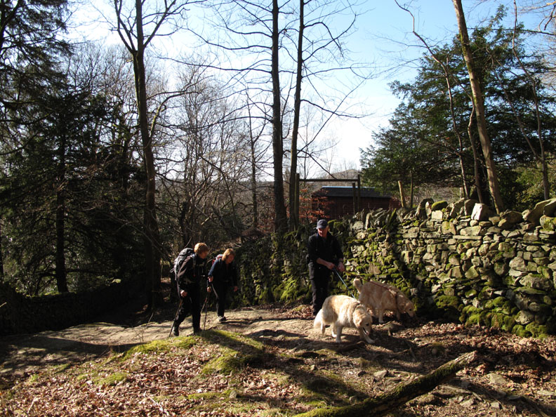
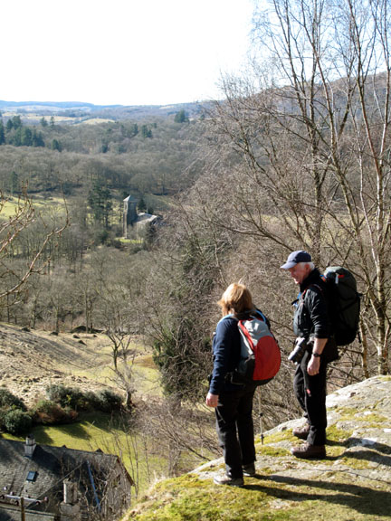
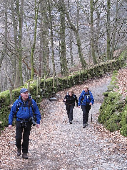
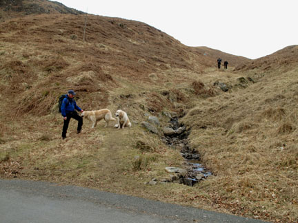
Bill and the dogs lead the way up the fell on a lovely woodland track.
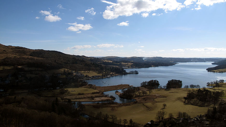
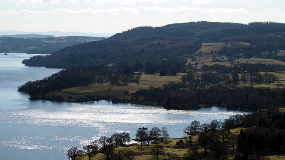
There's an excellent view of Windermere from up here, and it gets better as we climb. We're looking down on Waterhead, the squarish field in front of the boats hold the remains of Galava Roman Fort.
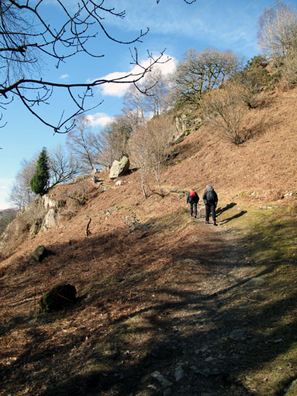
As we climb the view of the fells improves too.
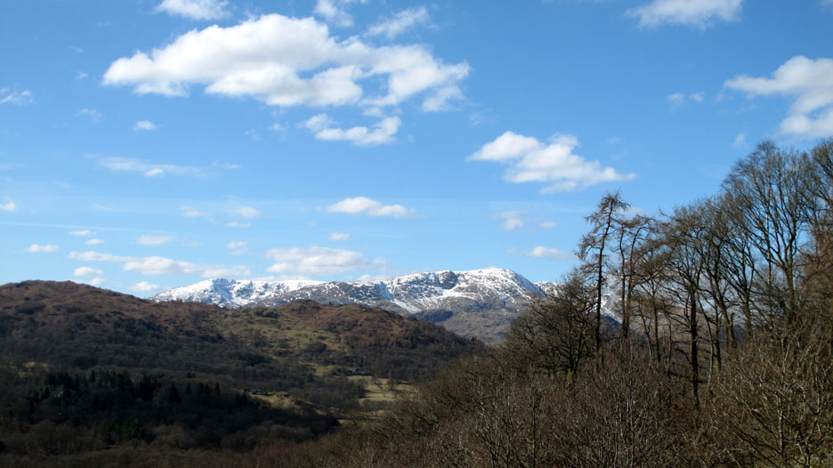
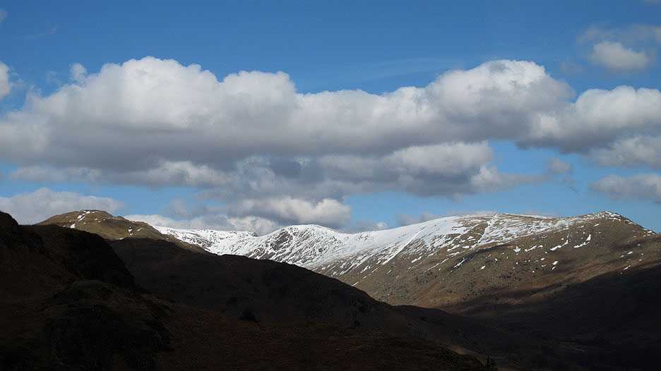
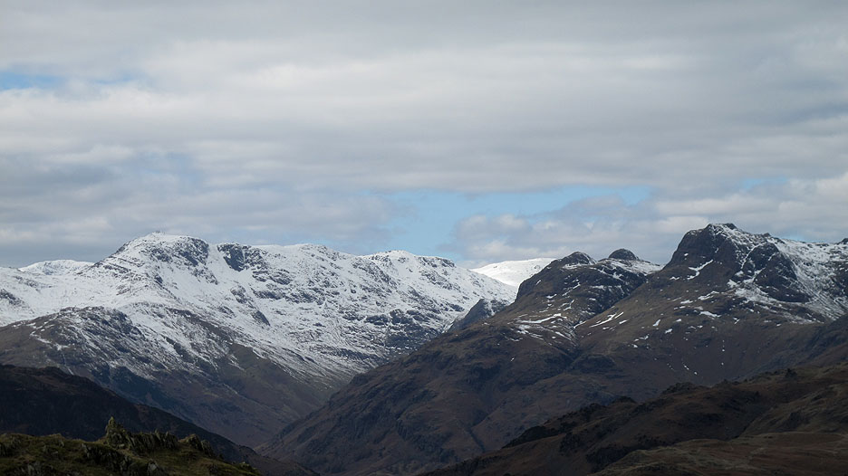
Snow is still on the high fells. (l to r) Coniston Old Man, Wetherlam, Great Carrs, Crinkles, Bowfell and Esk Pike.
The sun glistens on the lake at Pullwood Bay.
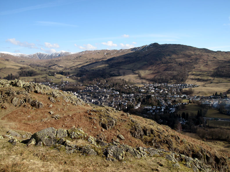
Wansfell stands tall over the town of Ambleside.
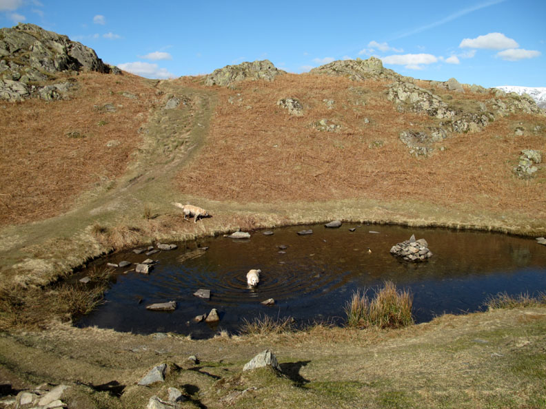
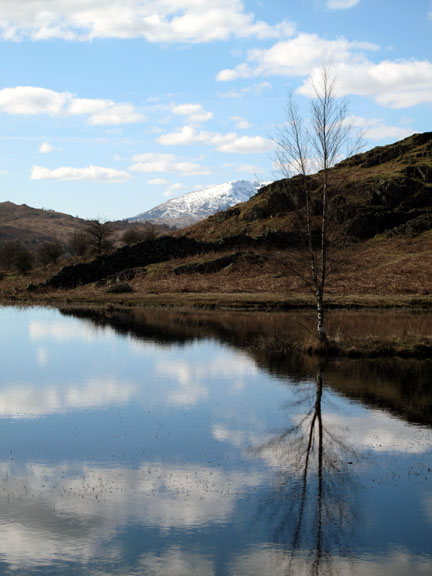
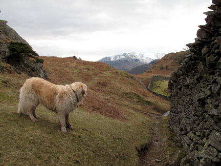
The first of many small tarns as we start to cross Loughrigg Fell. This one is not particularly blessed with a name . . . but Harry the dog appreciated the swim.
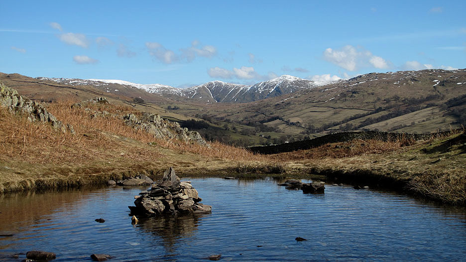
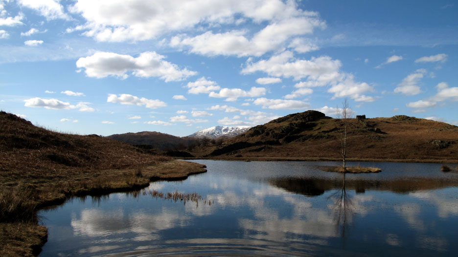
Same Tarn, different perspective. Behind are the Kentmare fells of Yoke, Ill Bell and Froswick leading to snow clad Thornthwaite Beacon and High Street.
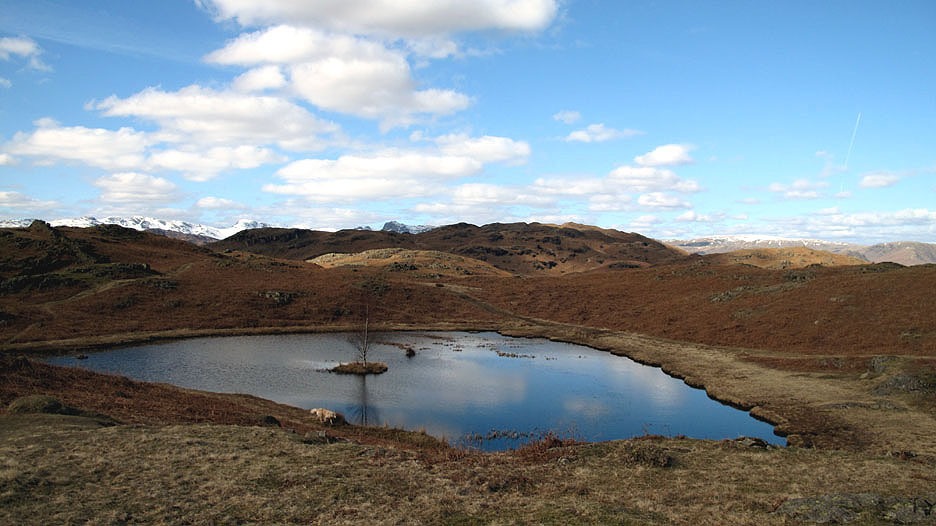
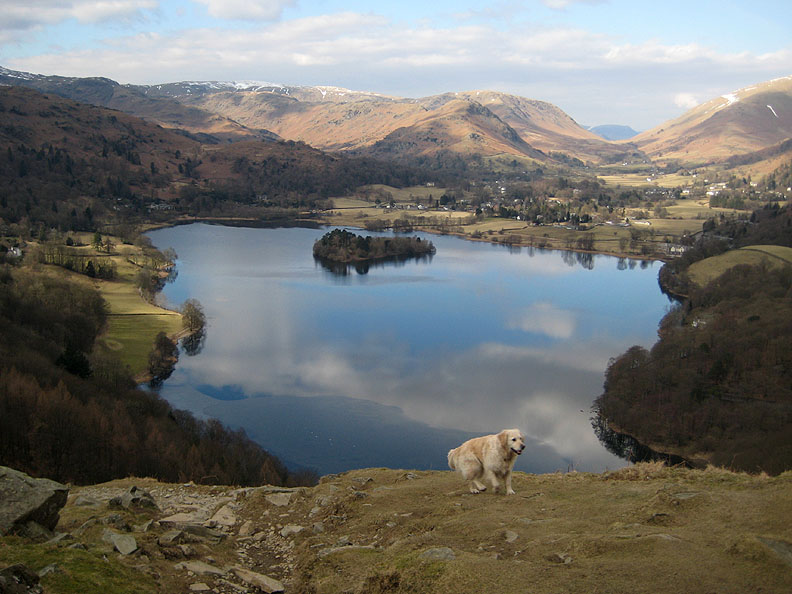
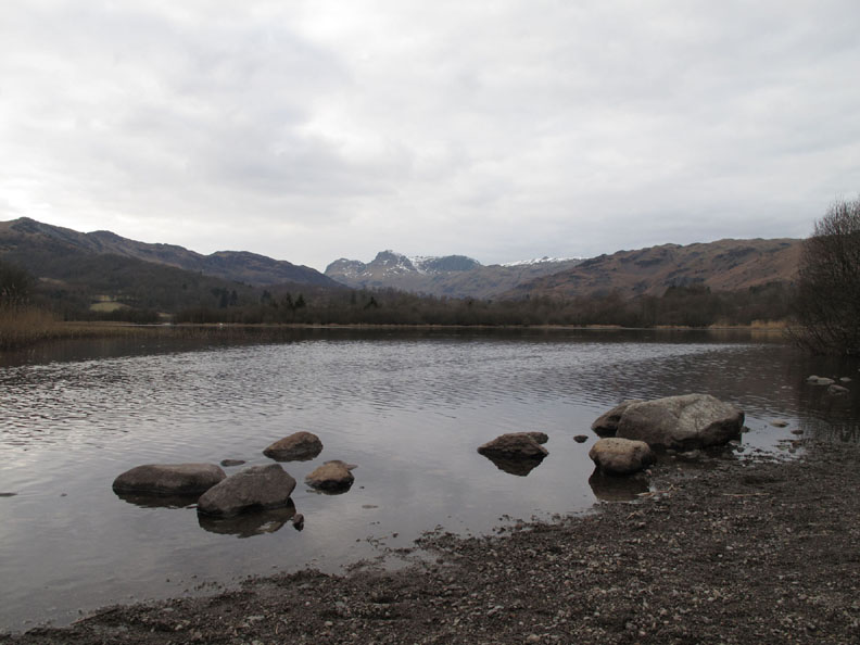
Over a rise and round a corner and we come face to face with Lily Tarn reflecting the rich blue of the sky.
Doggy Ripples on the move !
We continue on across the fell Sherran and Ann following along, deep in conversation no doubt.
To the north, the snow covered fells of another " round ". The shaded start of Nab Scar, then Heron Pike Fairfield (hidden) Hart Crag, Dove Crag and down to High and Low Pike.
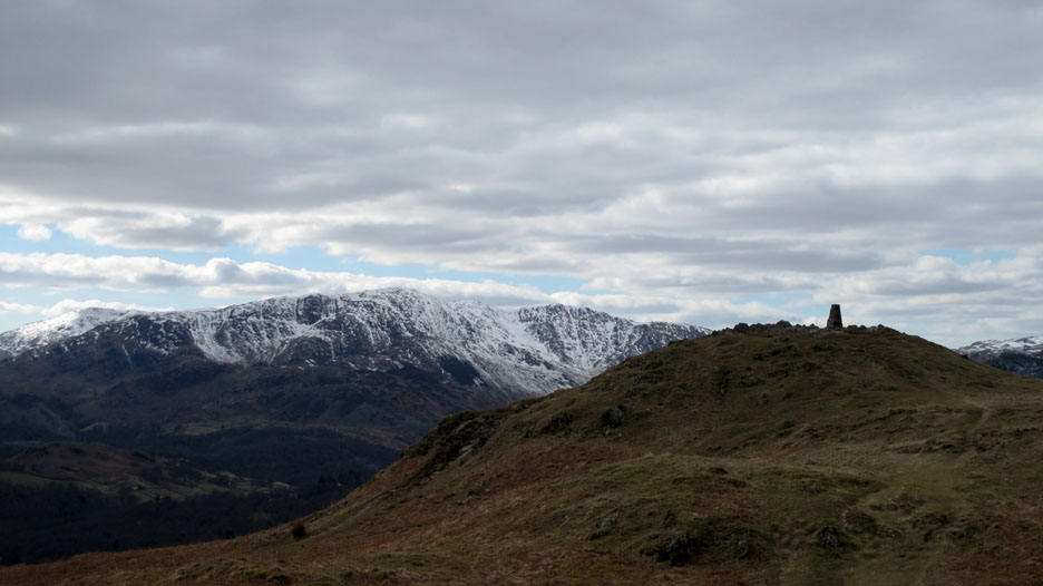
Cloud starts to gather to the south and west as we near Loughrigg summit trig point.
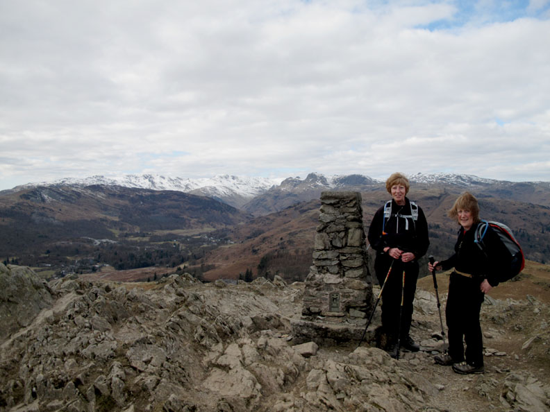
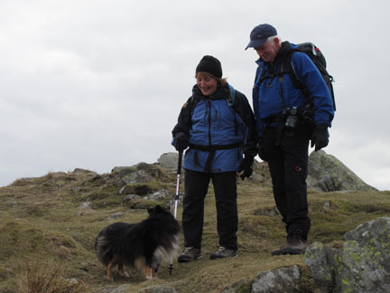
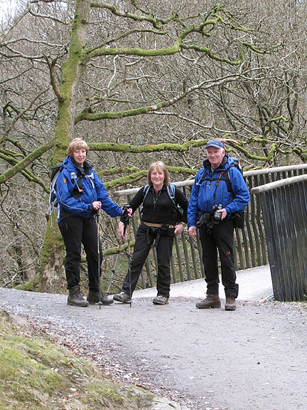
The two ladies stop for a photo at the rather breezy summit.
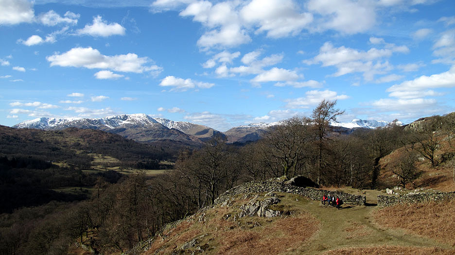
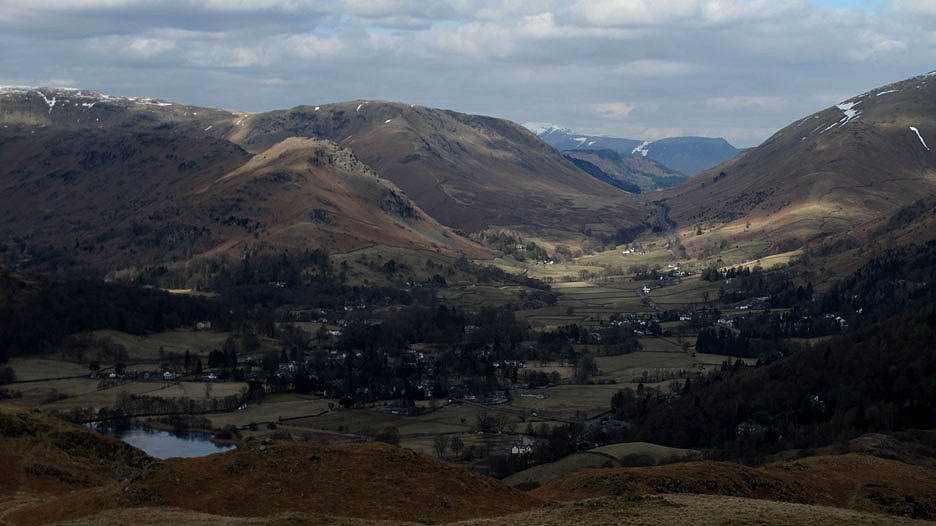
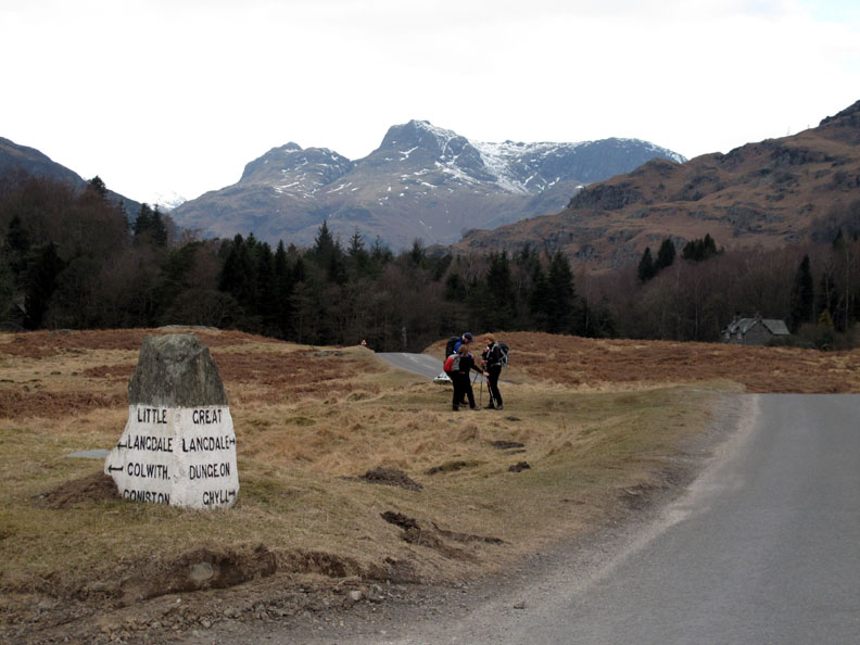
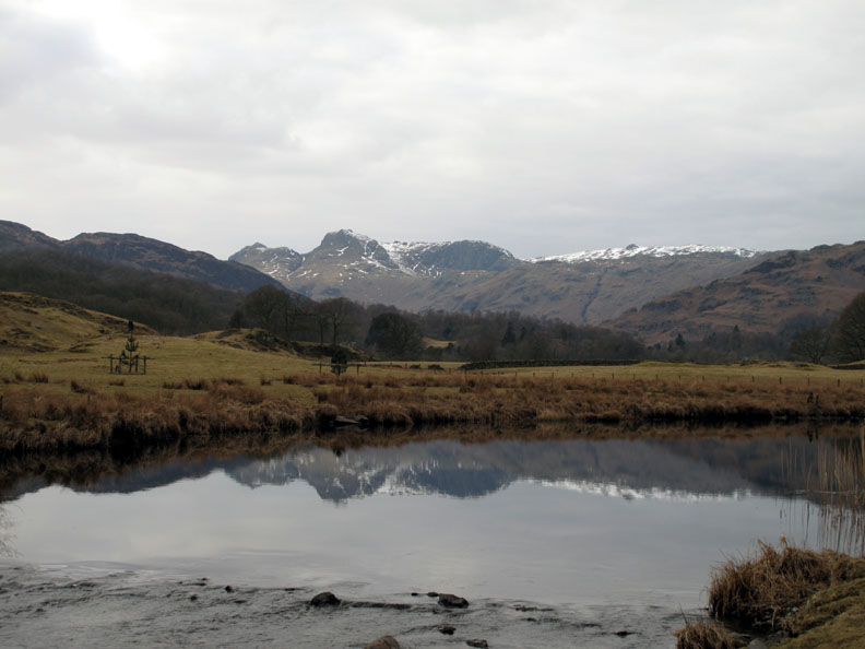
Behind them are the fells of the Langdale Valley.
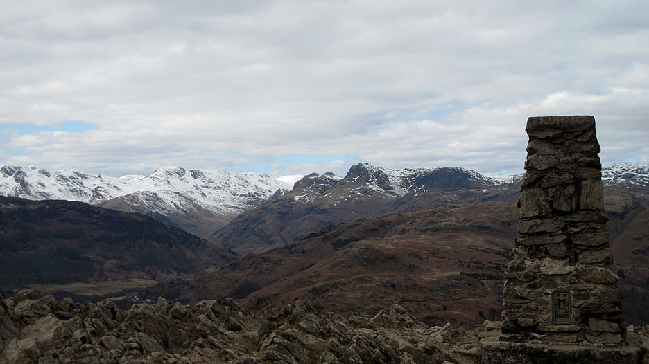
Zooming in on Bowfell and the Langdale Pikes.
Light and shade on Grasmere, Helm Crag and the fells around Dunmail Raise.
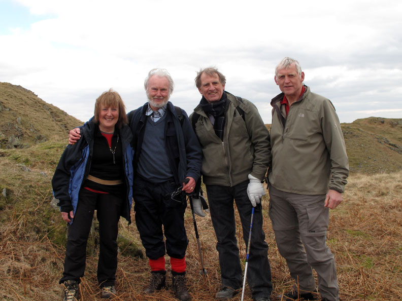
A welcome shout and we are recognised Dave and John from Horwich (in Lancashire) recognised the dogs and put two and two together.
Many thanks for introducing yourselves Dave and thanks for your kind words of appreciation.
Together we walk down the north western end of Loughrigg enjoying the views down to Grasmere below.
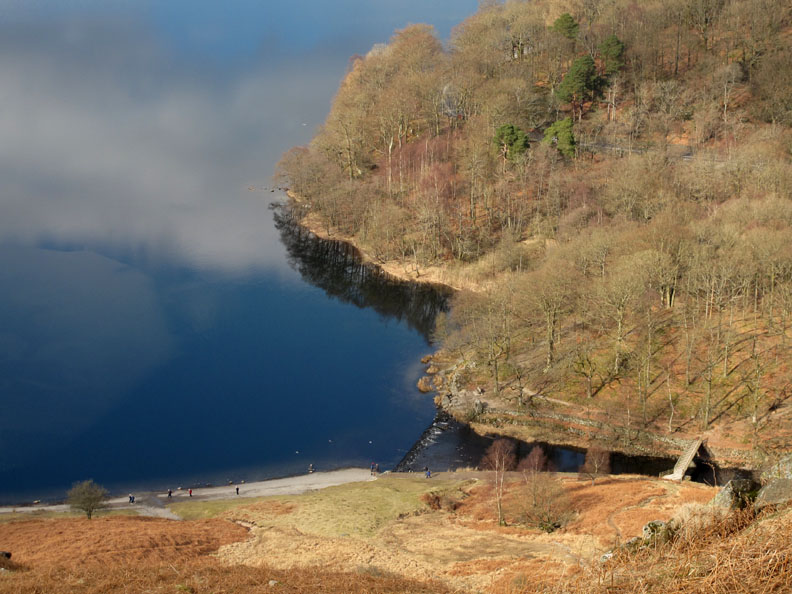
The weir and bridge at the outflow below Baneriggs Woods. The main road from Ambleside to Grasmere and Keswick can just be seen in the trees.
That day we parked the car at the top but this time we continue down the other side of Red Bank towards Elterwater Village.
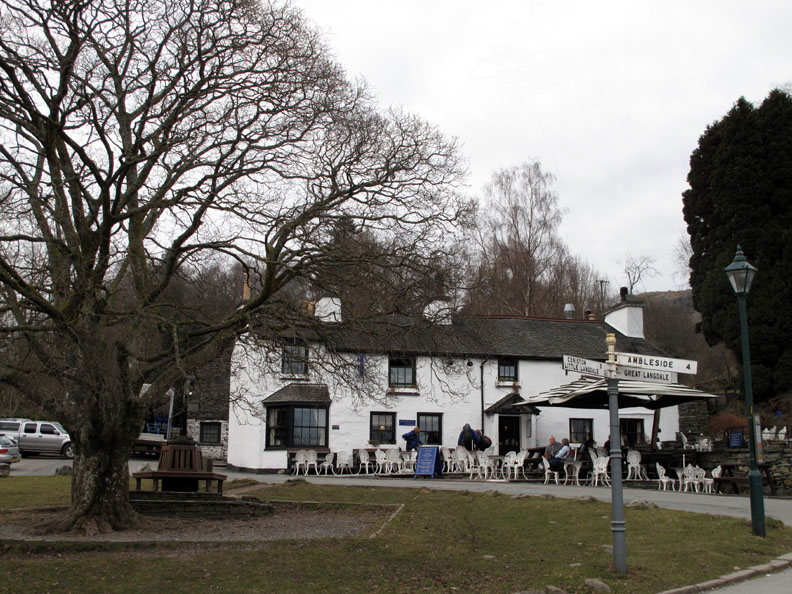
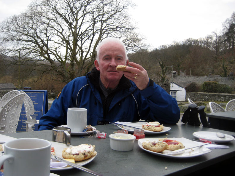
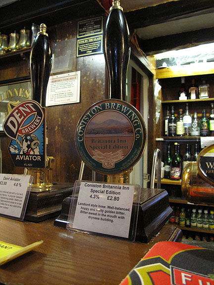
Convenient placed is the Britannia Inn. What a lucky coincidence !
Cheers !
The final leg now . . . following the River Brathay downstream to Skelwith Bridge.
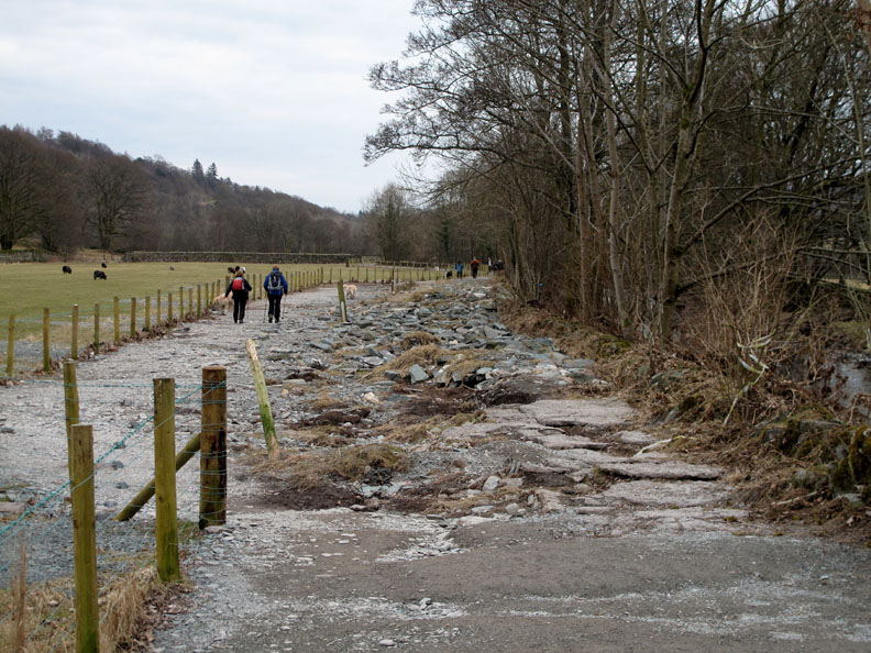
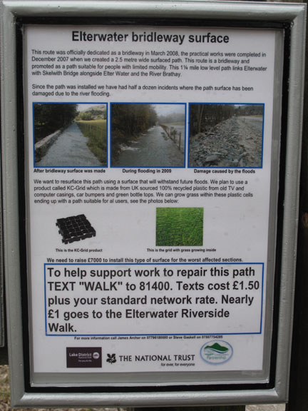
November 09 flood damage has wiped out the normal path washing the surface completely off the normal pathway.
If you have a spare pound or two you may wish to " text " a donation.
The river expands to form large meandering pools that are collectively known as Elter Water. The backdrop of the Langdale Pikes fail to be reflected in the rippled waters.
However Wetherlam manages to gain a reflected image in this calm stretch of the river.
Not to be outdone, the Langdales also manage a slight reflection.
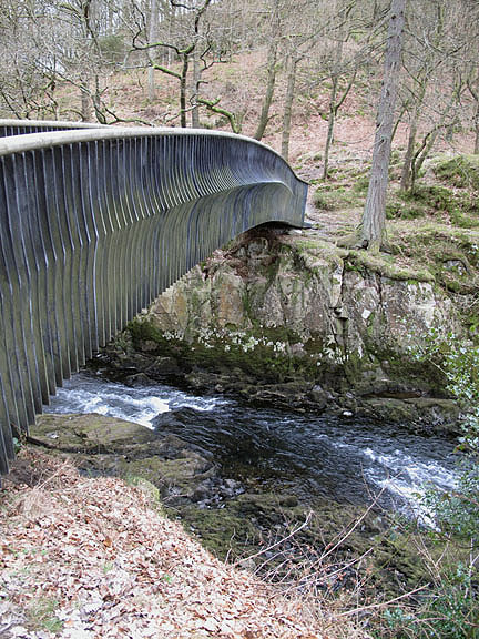
The bridge was built to allow Cumbrian Way walkers to by-pass the narrow road section over the main Skelwith Bridge.
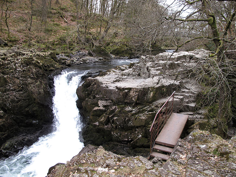
The Falls just above Skelwith Bridge at the end of our walk. - - - o o o - - - You may have noticed that we have finished the walk at a different location from the start. We had left Bill and Sherran's car parked behind the Skelwith Hotel / Chester's Cafe . . .
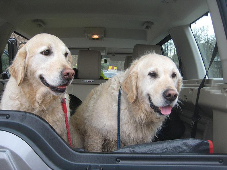
. . . so it was in the lap of luxury that Harry and Bethan (and ourselves) completed the short road section back to the start and our waiting car. - - - o o o - - - |
Technical note: Pictures taken with either Ann's Canon 75 or my Canon G10 digital camera. Resized in Photoshop, and built up on a Dreamweaver web builder. This site best viewed with . . . mid walk refreshments for a change. © RmH.2010 # Email me here # or leave me a Guest Book Entry Previous walk - 7th March 2010 Bakestall and a Cold Lunch A previous time up here - 15th March 2006 Grasmere and Loughrigg in the snow Next walk - 13th March 2010 Stickle Pike and Caw fell
|