![]()

Remember: Press F11 for a full
screen view of this page.
|
|
|
Remember: Press F11 for a full
screen view of this page. |
|
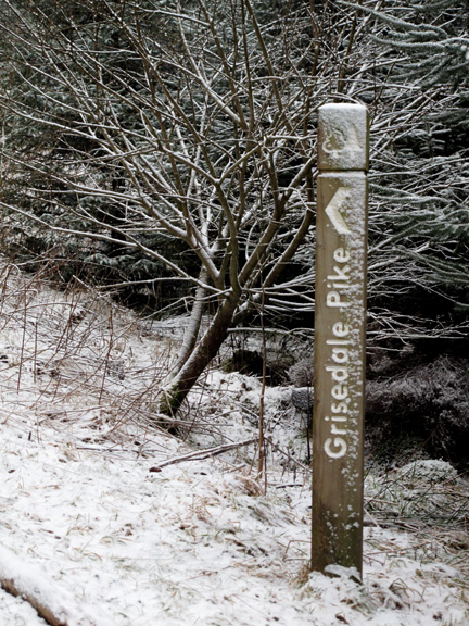
Arctic Grisedale Pike Date & start time: Sunday 21st February 2010, 11.10 am start. Location of Start : Revelin Moss car park, Whinlatter, Cumbria, Uk ( NY 209 242 ) Places visited : Sandeson Gill, NW ridge of Grisedale Pike, (almost) Grisedale Pike, the small tarn, Hobcarton End and return to Revelin Moss Walk details : 3.6 mls, 1550 ft, 3 hrs 30 mins excluding the nice lunch. Highest point : Just 150 ft short of Grisedale Pike summit, 2420 ft ( 745 m) Walked with : Dave and Josie (Dimmock) David and Jennifer (Hall) Ann and the dogs, Harry and Bethan. Weather : Snowing to start and going down hill fast as we went uphill slowly.
|
|
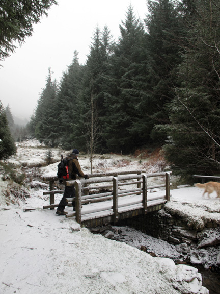
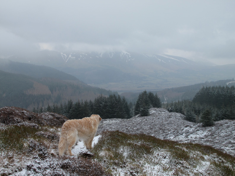
A walk planned when the weather was brilliant takes on a whole new aspect as the clouds come in and it starts snowing. Grisedale Pike, even though it is just 1500 ft above the Whinlatter valley takes on a real Arctic feel as we climb for the top.
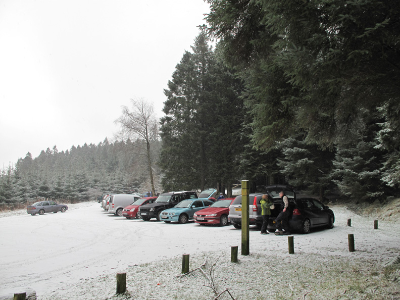
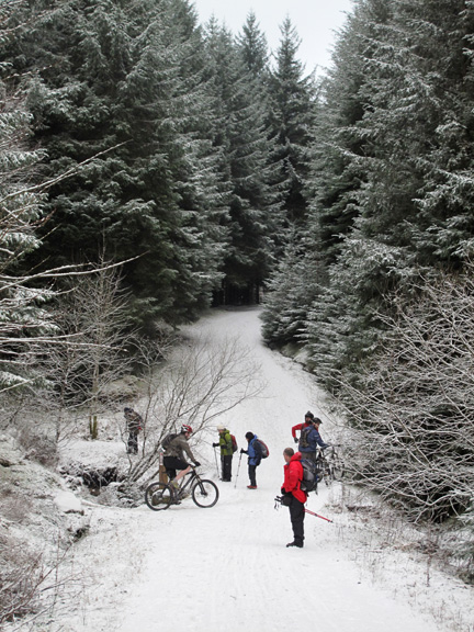
Plenty of cars about today in the car park but many of their owners are out enjoying the mountain bike trails that Whinlatter has to offer in abundance.
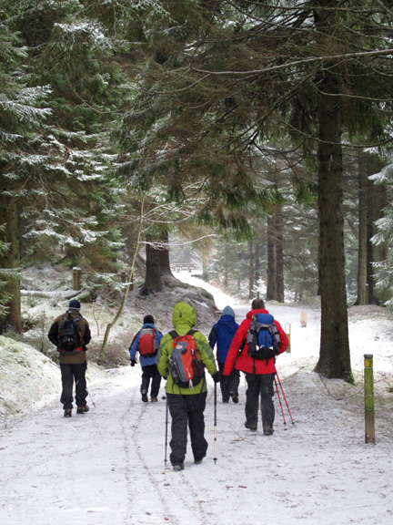
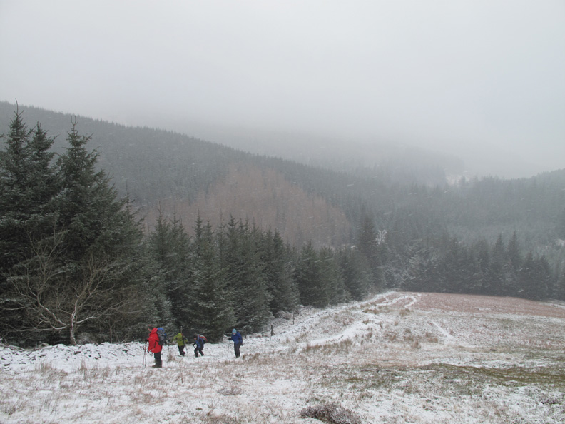
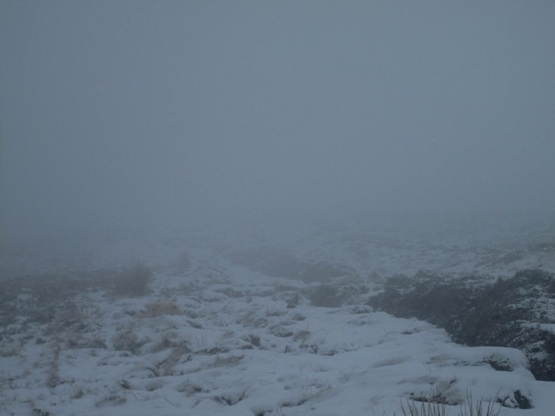
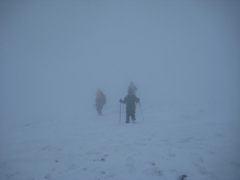
The climb started well enough but there was a lot of snow in the air.
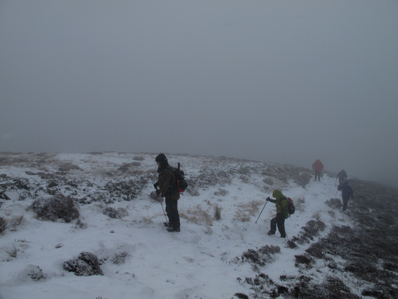
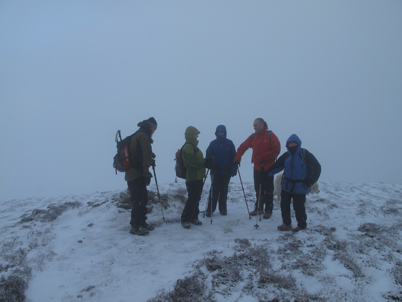
The snow remained the same as we climbed but the wind gradually increased and we entered the cloud !
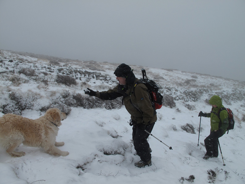
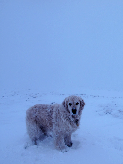
Dave still wanted to play so Harry humoured him with a game of "throw the snowball".
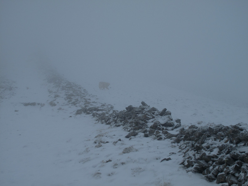
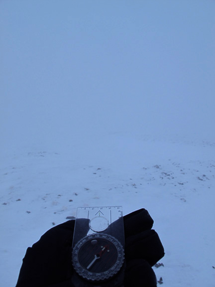
Interesting conditions . . . a summit bid may not be possible.
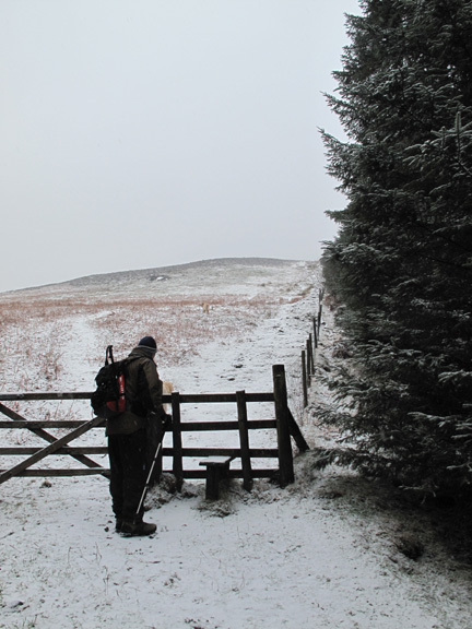
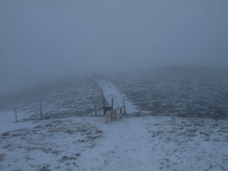
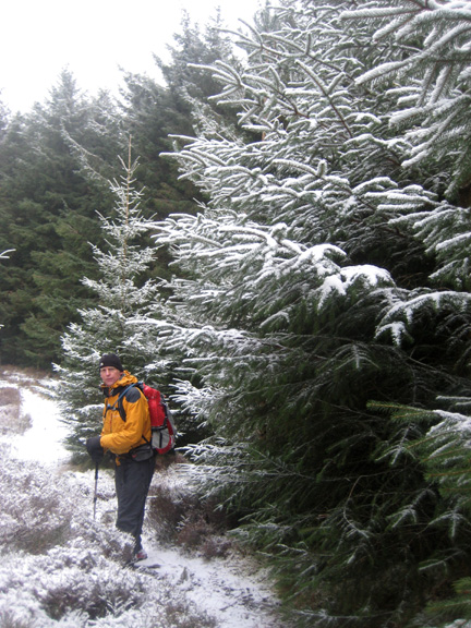
However navigation is easy on this route up the fell . . . just follow the old wall.
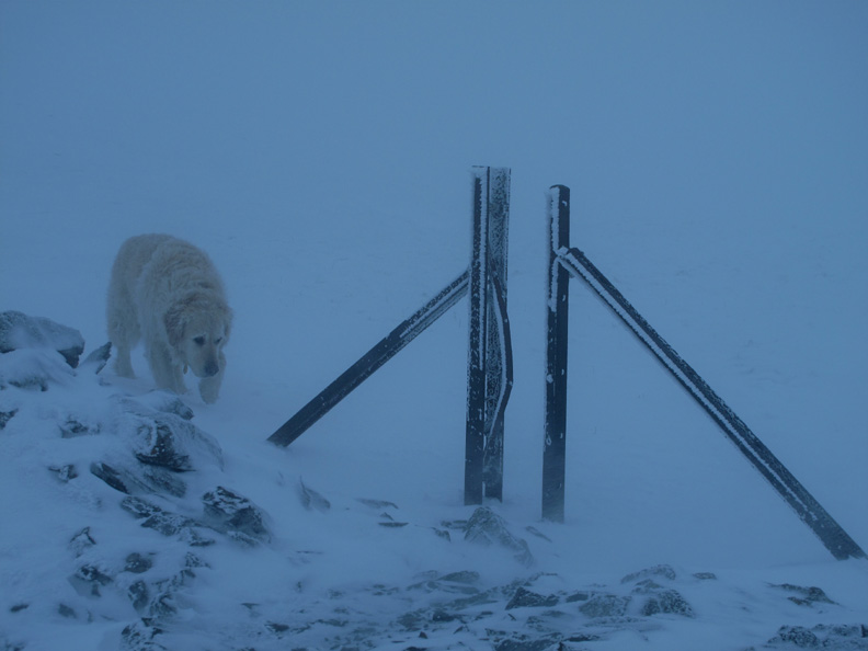
Just a few hundred yards and 150 feet (45m) from the summit is a change of angle of the fence line and a small tarn hidden today under a layer of snow and ice. These landmarks really do identify our position exactly.
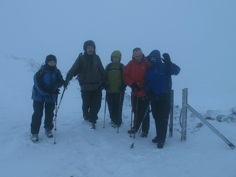
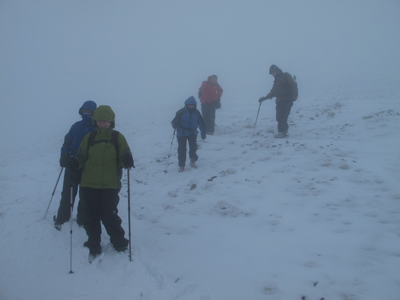
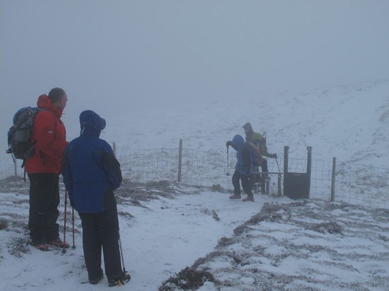
In view of the exposed nature of the walk to the top from here, we stop for a committee meeting. We had three alternatives: to go on to the top where we could seen nothing, to go back down the way we had come up, or to turn at this point and descend via the Hobcarton End Ridge. A group decision is reached. We'll leave the summit for Dave to climb on a nice day and strike across to the alternative ridge for our descent back to the cars.
Follow my leader.
After a slight deviation we re-gain the path and find the snow covered zig-zags that we used last time we were up here.
Happy now as we find the cairn marked on the map . . . and it's in about the right place too.
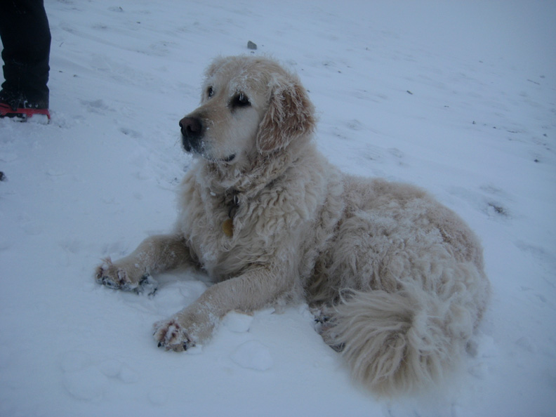
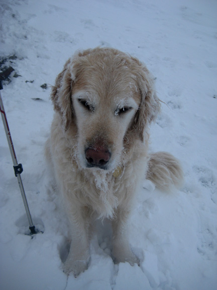
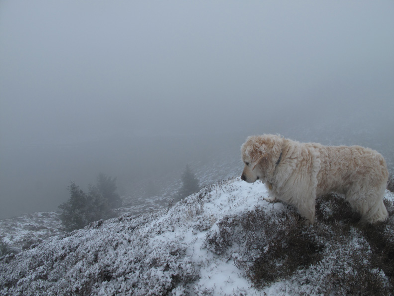
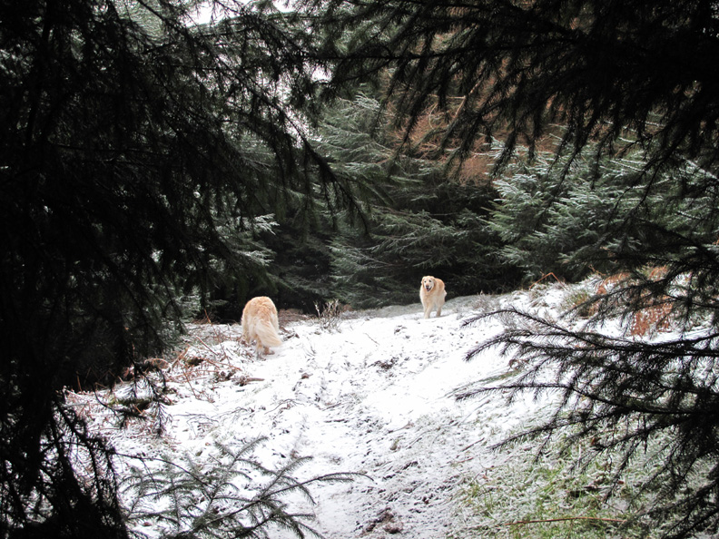
White haired Harry . . . and it's not due to his age.
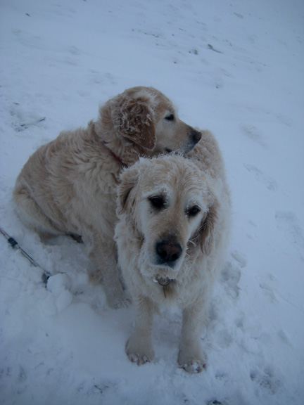
The next line on the map turns out to be a fence not a wall and the dogs jump the stile to the other side.
We make the crossing with a more leisurely climb.
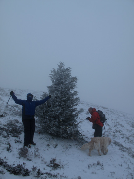
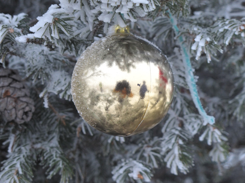
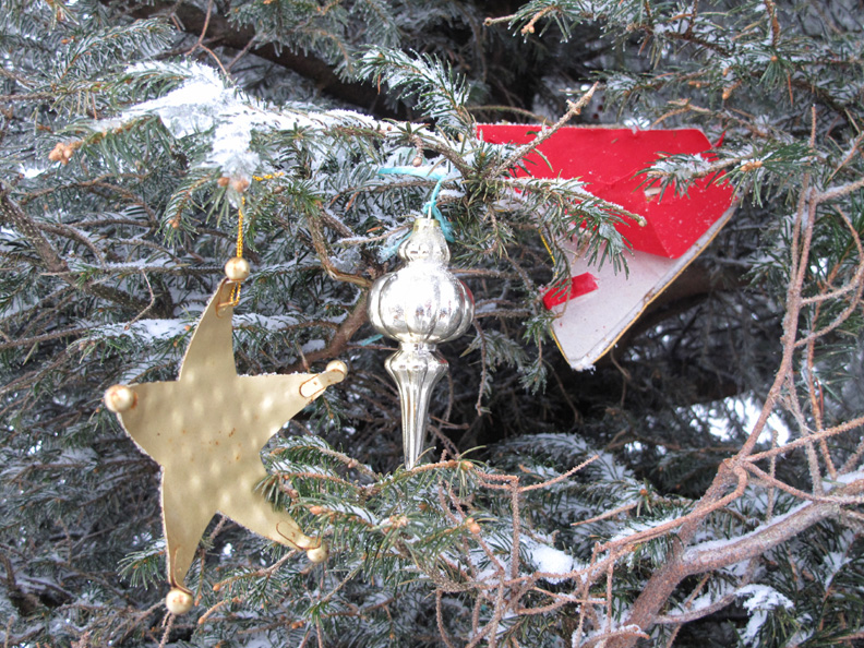
A real tree with real decorations and real snow on it.
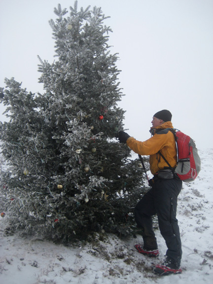
A star, bauble and the A of Merry Christmas.
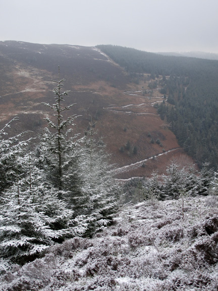
Previously we've stopped at the tree for lunch, but today it's just that bit too cold and exposed. We continue on down Hobcarton End . . . the Whinlatter Pass is down there somewhere.
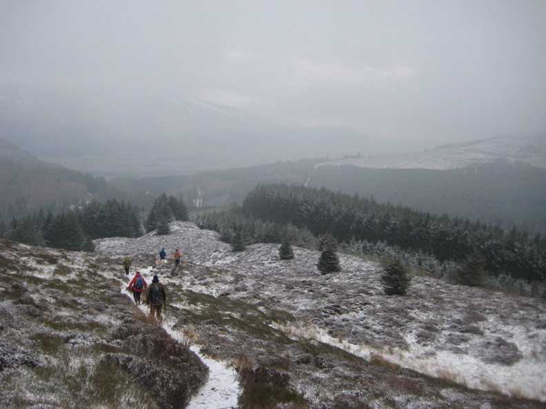
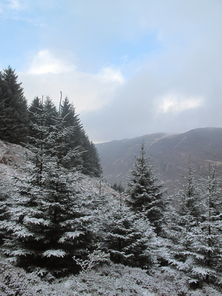
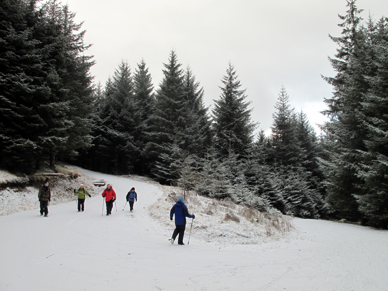
Reaching the trees again as we descend out of the cloud . . . and the view returns.
Back at low level it seems brighter now than when we started the walk . . . but looking over our shoulders, everyone agreed it still looked just as cold and windy . . . up there on the high summit.
. . . or even Polar Bears
A new covering of snow today makes the forest road white and slightly slippery.
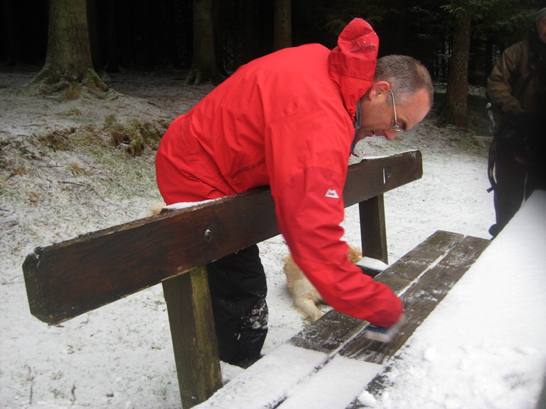
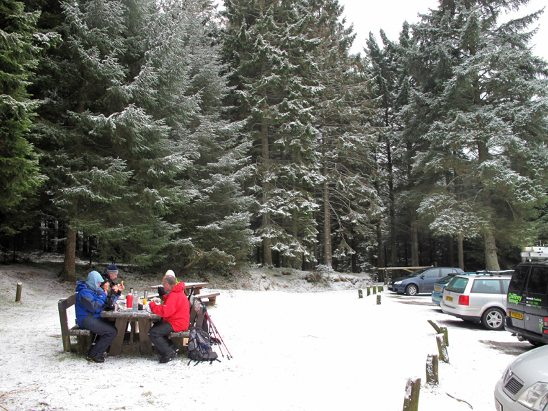
It's gone 2.30 in the afternoon . . . must be time for lunch ? David finds a brush from his car boot and prepares the bench for us to sit on.
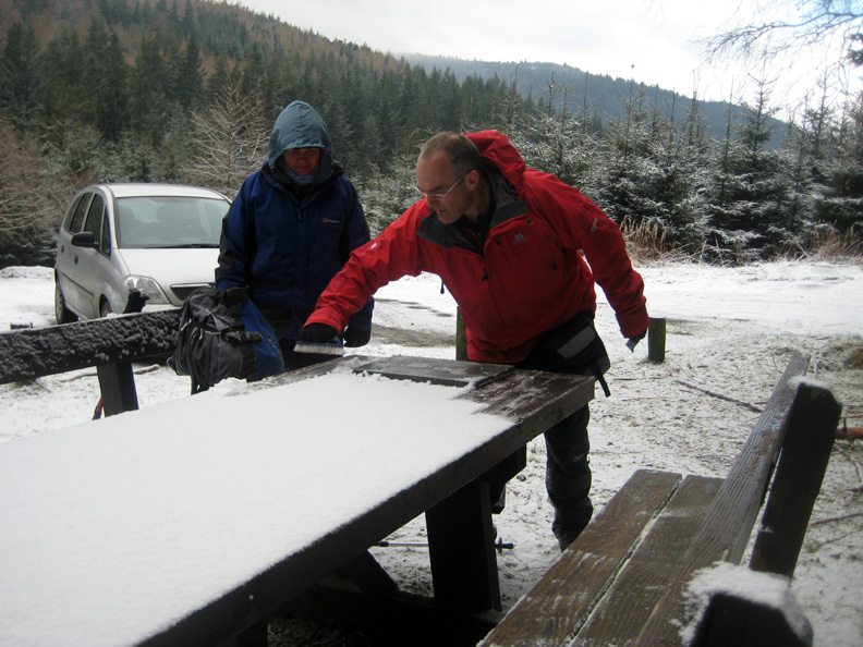
Followed by the table top
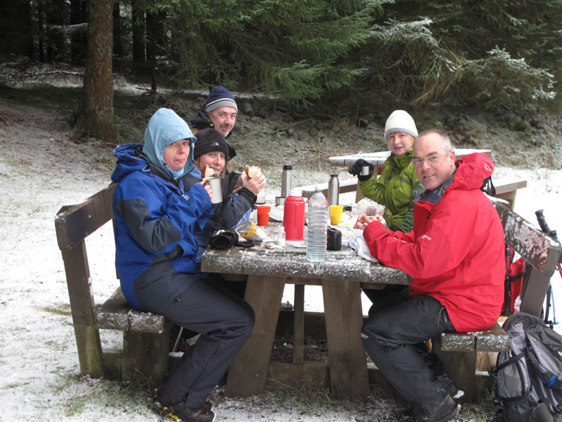
We carried lunch all the way round today so we were determined to eat it before we left for home.
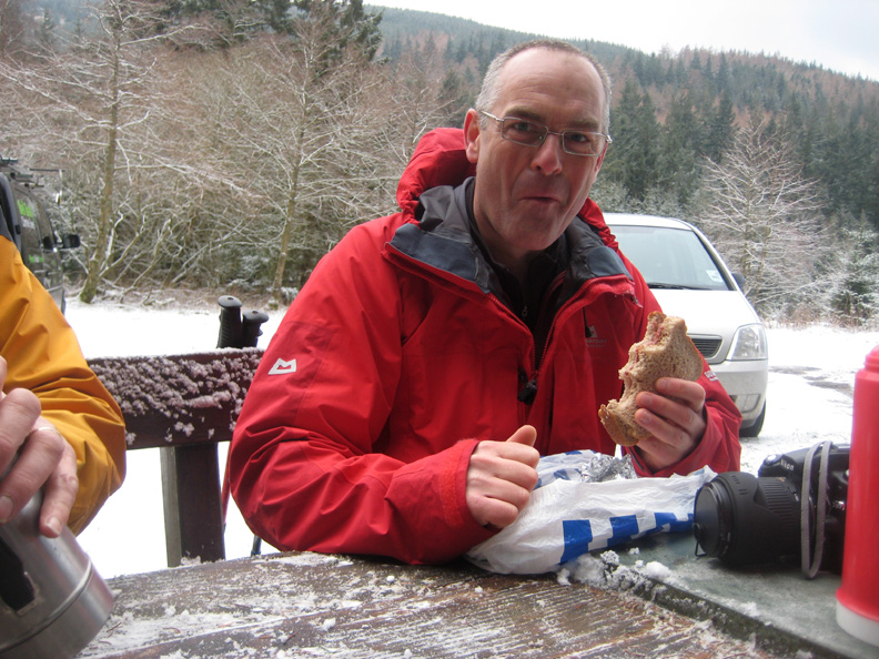
The smile says it all !
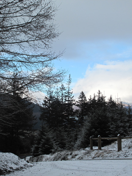
Lunch in surprisingly nice surroundings . . . no wind, no snow and just a hint of blue skies. We went down to the woods today and certainly got a big surprise . . . the weather. - - - o o o - - - |
Technical note: Pictures taken with either Ann's Canon 75 or my Canon G10 digital camera. Resized in Photoshop, and built up on a Dreamweaver web builder. This site best viewed with . . . A picnic table set for a late lunch. © RmH.2010 # Email me here # or leave me a Guest Book Entry Previous walk - 13th to 19th February 2010 Half Term Walks A previous time up here - 25th March 2008 Grisedale Pike in the snow Next walk - 22nd February 2010 Non-Arctic Darling Fell
|