![]()

Remember: Press F11 for a full
screen view of this page.
|
|
|
Remember: Press F11 for a full
screen view of this page. |
| Date & start time: Sunday 25th October 2009. 12.30 pm start. Location of Start : The red phone box, Loweswater , Cumbria, Uk ( NY 143 211 ) Places visited : Maggie's (other) Bridge, High Nook Farm, Black Crag, Gavel Fell, White Oak Moss, Little Dodd on Hen Comb and back via Kirkgate Farm. Walk details : 7.25 mls, 1680 ft, 4 hrs 30 mins including lunch. Highest point : Gavel Fell 1,720ft 526m Walked with : Gary and Sheena, Ann and the dogs, Tim, Harry and Bethan. Weather : High winds and grey weather with the possibility of showers coming in from the coast. |
Gavel
Fell on a Windy Day at EveryTrail |
|
Gary and Sheena were over in Loweswater again to walk a few more of these local fells. Last time they were here it poured with rain all day. Let's hope this time the weather is better than forecast and that we stay as dry as possible
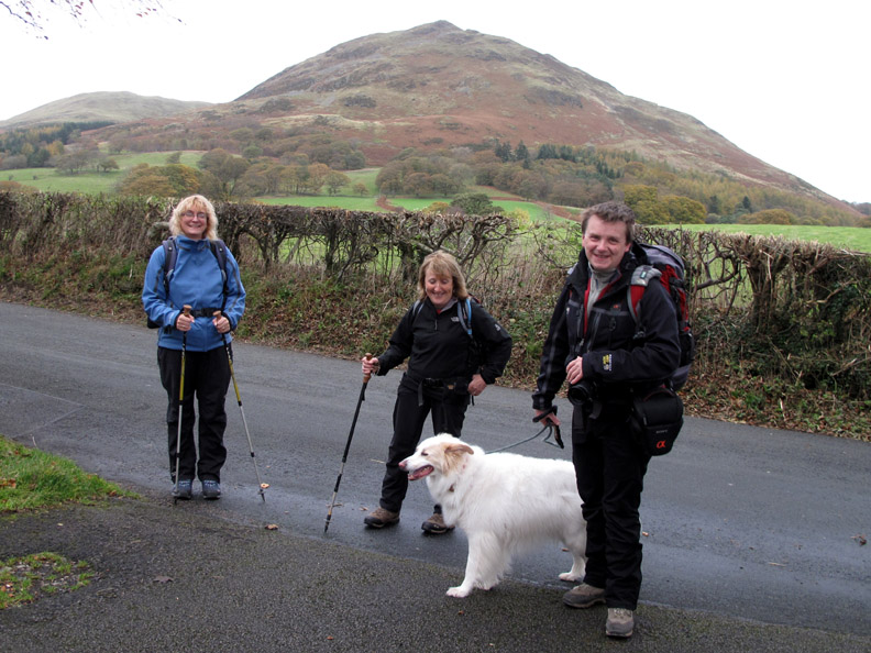
It's a good start . . . the roads are wet but the sky is dry as Sheena, Ann and Gary pause for a photo in front of Low Fell.
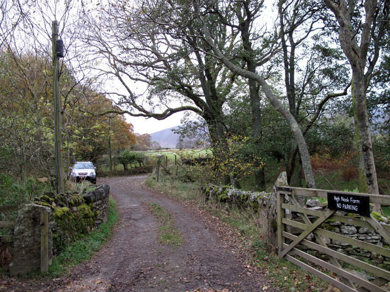
If it's Maggie's bridge to get across to Watergate Farm and Loweswater this must be Maggie's second bridge, about fifty yards downstream, that takes us across Dub Beck and up to High Nook Farm.
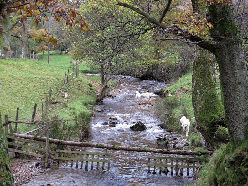
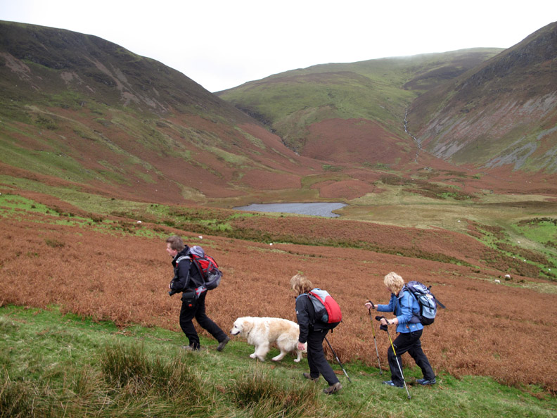
The combined waters of High Nook and White Oak valleys. The dogs are soon in and enjoying a cool dip in the water.
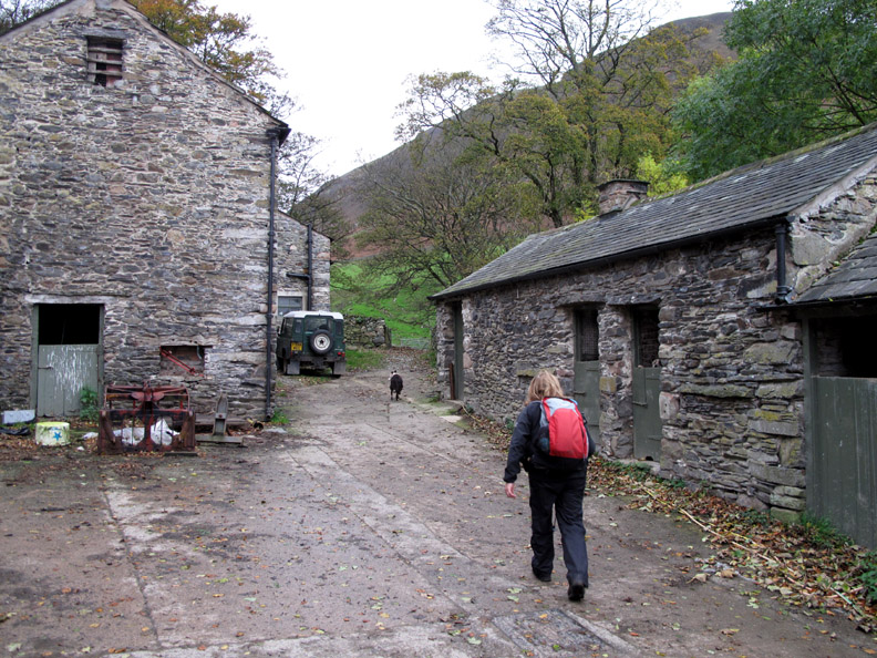
Ann takes the footpath through High Nook Farm, heading for the hills. Dave, the farmer's son and current tenant here, can remember a certain Mr Wainwright staying at the farm for bed and breakfast in the 1960's when he would have been researching the Western Fells for his guide books.
High Nook Tarn, hidden from the Coffin Road to Lamplugh which curves around to the right, becomes a feature of the head of the valley as we start the ascent of Black Crag.
Sheena nearing the top of Black Crag as Gary looks back for a photo of Loweswater.
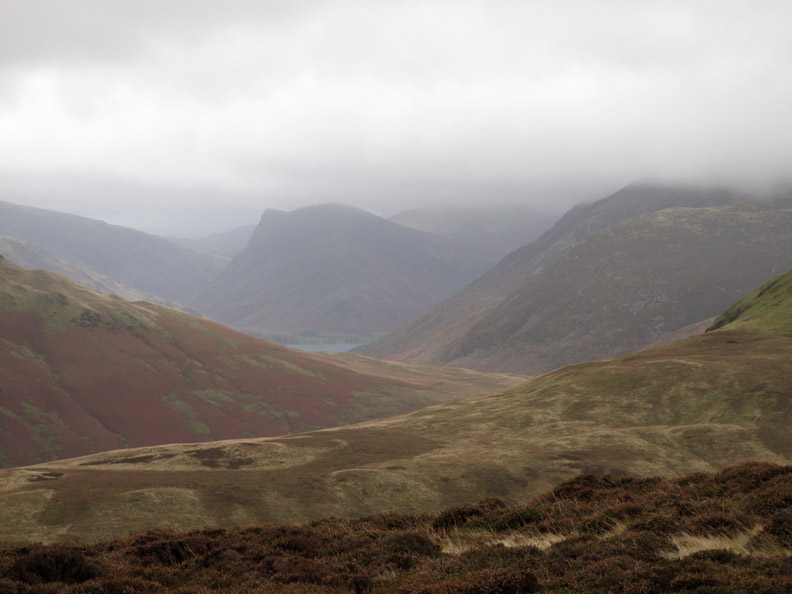
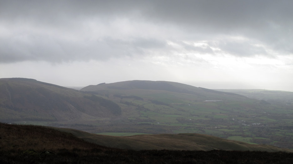
The central fells are covered in cloud and the distant Fleetwith Pike fades in the poor visibility.
To our right is the climb to Blake Fell, the highest of the Loweswater Fells but we continue straight ahead towards Gavel, our target for today.
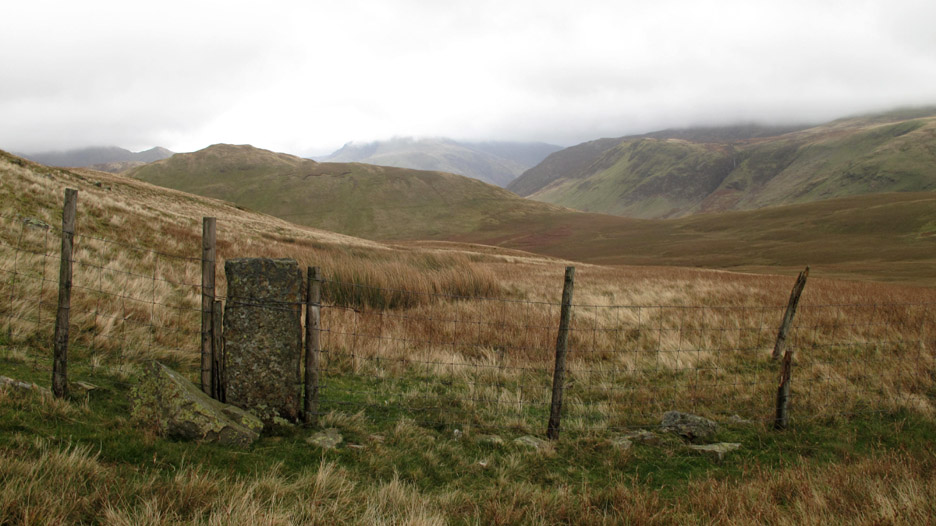
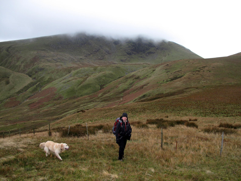
Now higher than Hen Comb, we are finally heading for the top of this fence which will lead us to the summit.
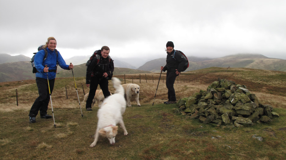
Camera shake as we try for a summit photo on Gavel.
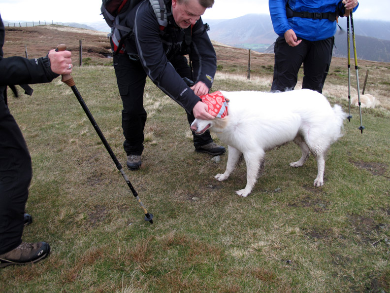
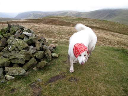
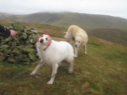
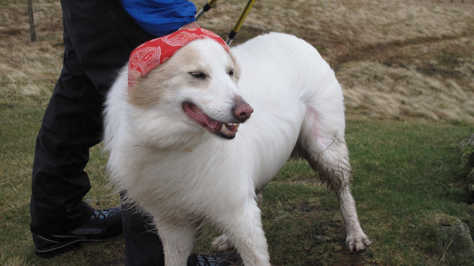
Gary remembers that Tim had been bought a Doggy-Buff recently. That would be good to keep the wind out of his ears and keep his head warm . . .
" Sartorial elegance " . . . a photo opportunity at last when he finally stopped dashing around with Harry and Bethan. - - - o o o - - - Time for lunch . . . where could we stop up here that's out of the wind ?
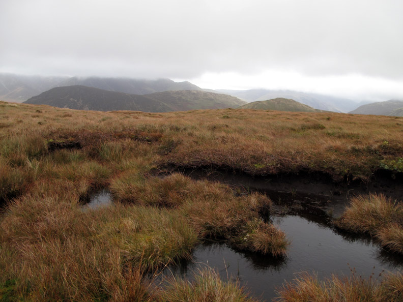
I know we'll sit over there by the lake ! The others called it a "peat bog" but I pointed out that the bank overlooking it was the only dry place to sit that was also out of the wind.
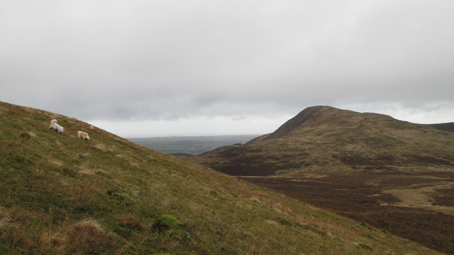
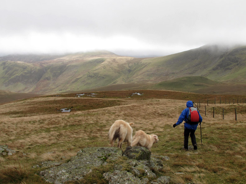
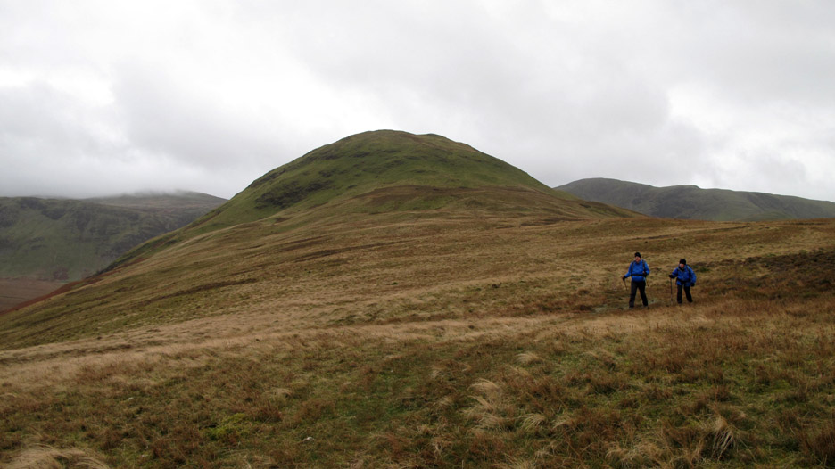
Fully refreshed we set off again, re-entering the wind tunnel that was the summit ridge heading down towards Floutern Cop, the smaller green fell in the distance.
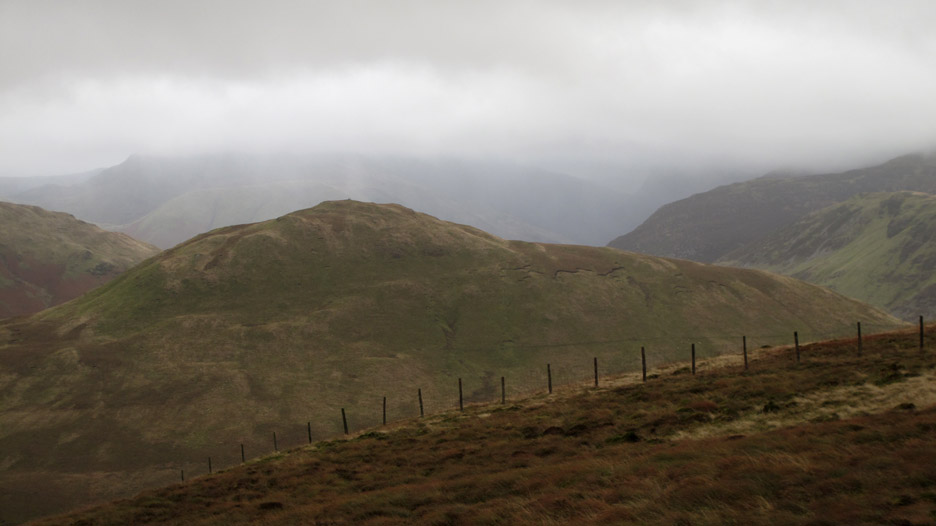
This is where the weather was coming from . . . Dent Fell and the Irish Sea.
A boundary stone built into the fence line, but there's no obvious inscription.
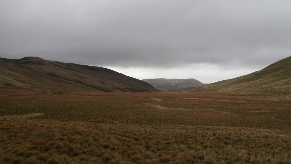
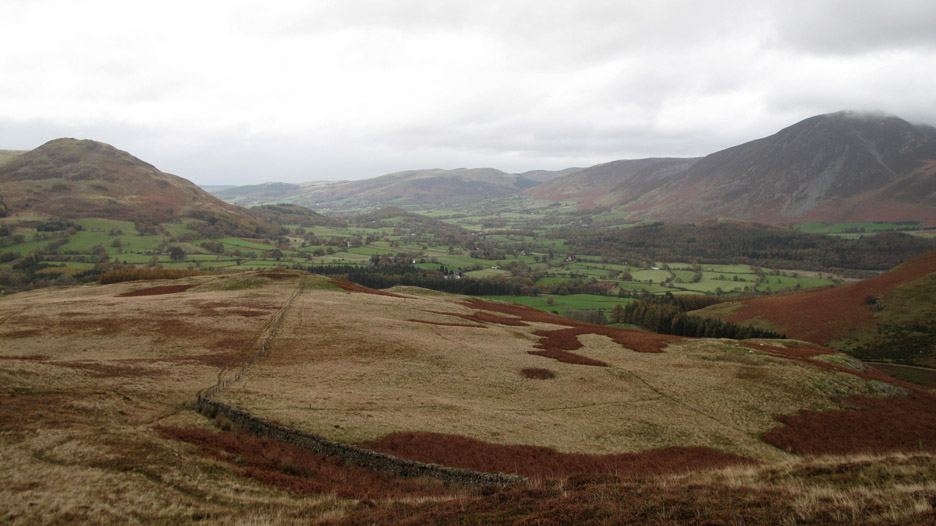
By keeping close to Floutern Cop we curved round on the higher raised ground and avoided the worst of the White Oak Moss, the damp ground at the head of the White Oak Valley.
To the other side of our route was Floutern Pass and the boggy ground that has developed at the head of Mosedale.
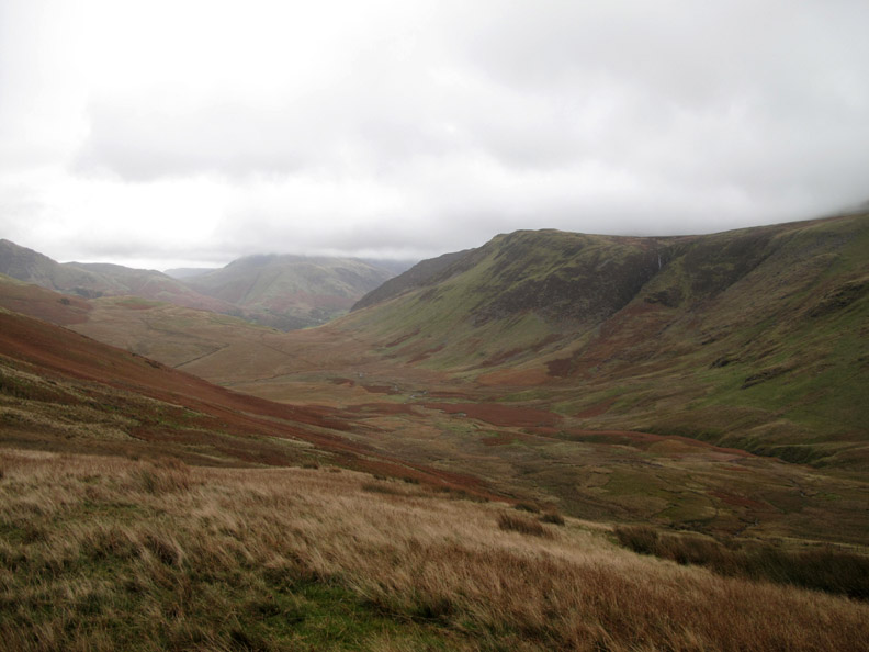
Gary, back from Everest Base Camp, is happy to settle for the oxygen filled atmosphere that has blown on our backs as we walked down the faint track Floutern and Great Borne.
We passed on climbing back up into the jet stream on the summit of Hen Comb and skirted round the western side of the fell, picking up the return path from the summit.
Familiar territory now for them and us. Last time Gary and Sheena were over here I seem to remember walking in the pouring rain. Today has been much kinder.
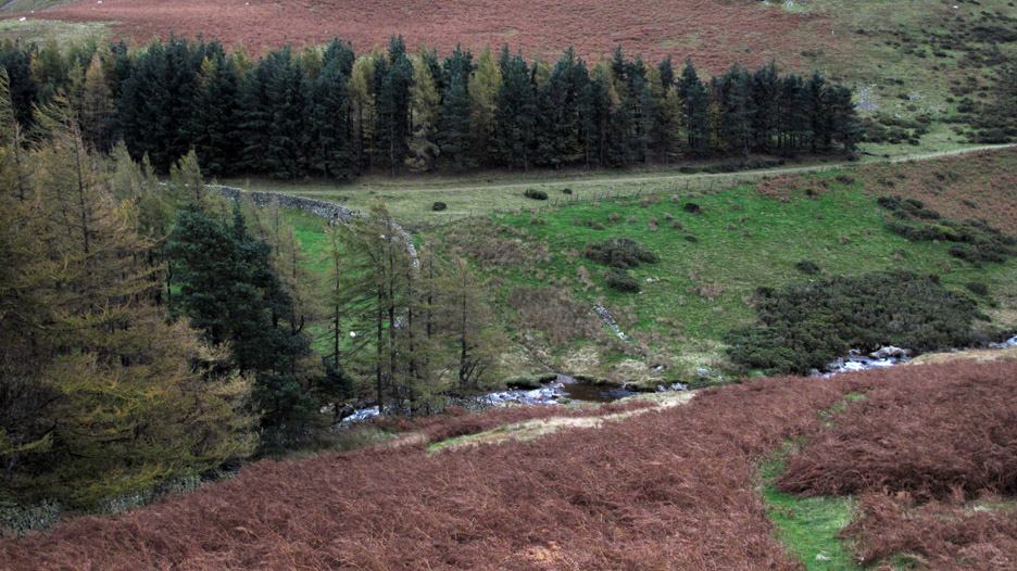
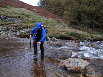
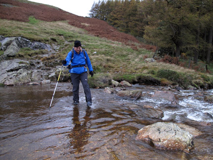
One last river to cross . . . and there's no bridge.
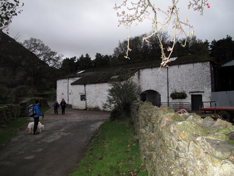
In the fading light we pass Kirkgate Farm, the flash of the camera illuminating the wall and tree above. - - - o o o - - - Five minutes after reaching home the heavens opened and it poured with rain . . .
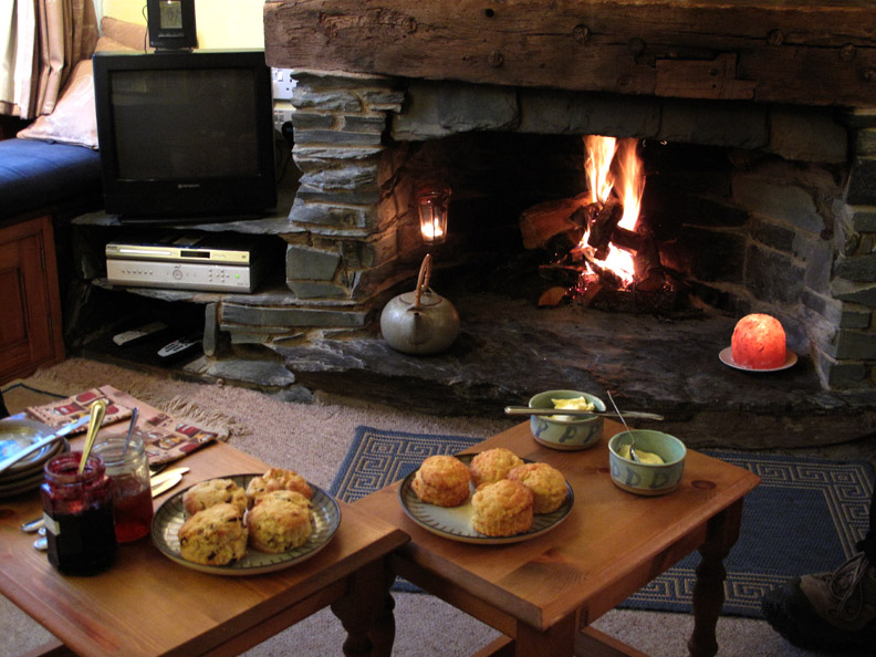
But we were all home and dry and the fire was lit, and everything was right with the world again. - - - o o o - - - |
Technical note: Pictures taken with either Ann's Canon 75 or my Canon G10 digital camera. Resized in Photoshop, and built up on a Dreamweaver web builder. This site best viewed with . . . let me guess . . . some after walk refreshments ! © RmH.2009 # Email me here # or leave me a Guest Book Entry Previous walk - Thursday 22nd Oct 2009 Grasmoor via Lad Hows A previous time up here - 7th March 2009 Hen Comb with Gary and Sheena For Gary's photos of the day click here Next walk - Wed 28th Oct 2009 Low fell with Keith, Simon and Beth
|