![]()

Remember: Press F11 for a full
screen view of this page.
|
|
|
Remember: Press F11 for a full
screen view of this page. |
| Date & start time: Thursday 22nd October 2009. 11 am start. Location of Start : Cinderdale car park, Crummock Water, Cumbria, Uk ( NY 163 193 ) Places visited : Lad Hows, Grasmoor, Eel Crag, Wandope, Third Gill Man Head, Whiteless Pike and back via Rannerdale Valley. Walk details : 7.2 mls, 3450 ft, 4 hrs 25 mins including lunch. Highest point : Grasmoor 2,791ft (852m) Walked with : Dave and Josie, John, Ann and the dogs, Polly, Harry and Bethan. Weather : High winds but avoiding the poorer weather on the adjacent central fells. |
Grasmoor via Lad Hows at EveryTrail |
|
A stormy day but we're on the edge of the bad weather. High winds on the high fells but our weather behaved itself as we enjoy a great walk on this popular round of the north western fells, in the company of John, Dave and Josie.
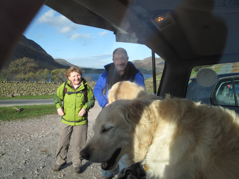
Ready to go . . . Josie, Dave, Harry and Bethan. Don't panic, Dave and Josie had their own car and didn't have to travel in the back with our dogs.
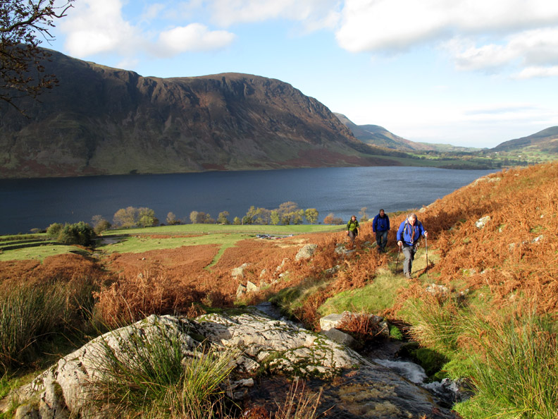
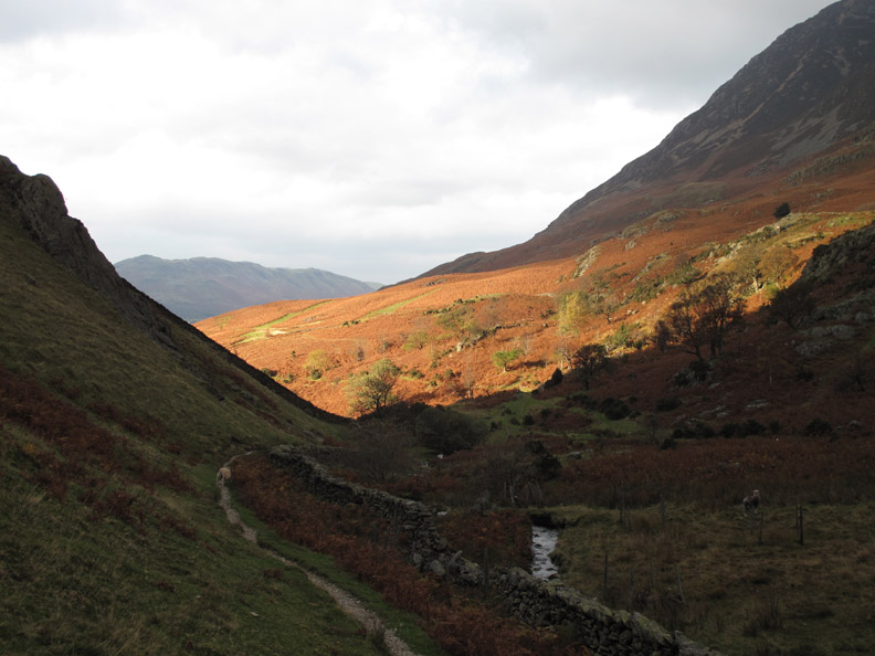
John, Dave and Josie as they start up the Lad Hows route, climbing steadily from the Cinderdale car park below.
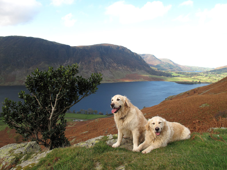
Harry and Bethan stop by the holly tree . . . hey that would make a great calendar cover for 2010. ( Blatant Loweswatercam 2010 Calendar plug ... see front page once you've finished this reading this one)
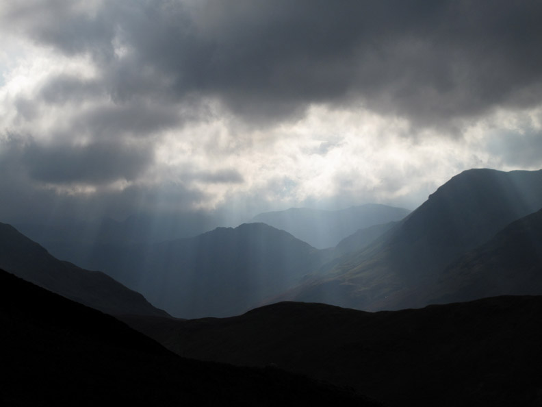
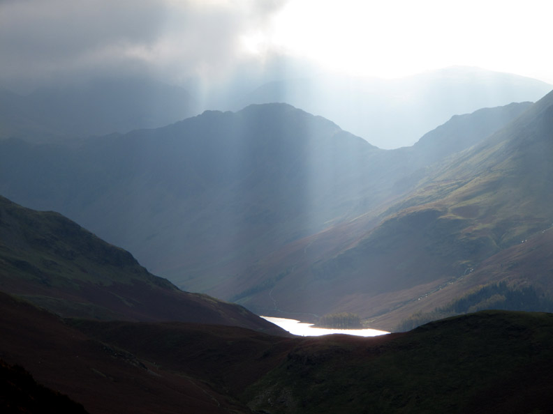
The skies were dramatic up towards the central fells . . . this is Haystacks with Rannerdale Knotts in front and Kirk Fell behind.
Sunlight reflecting off Buttermere lake by Burtness Woods, from just a little higher.
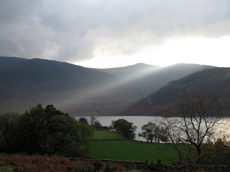
To the coast the weather was fine . . . we were just on the edge of the good / bad divide.
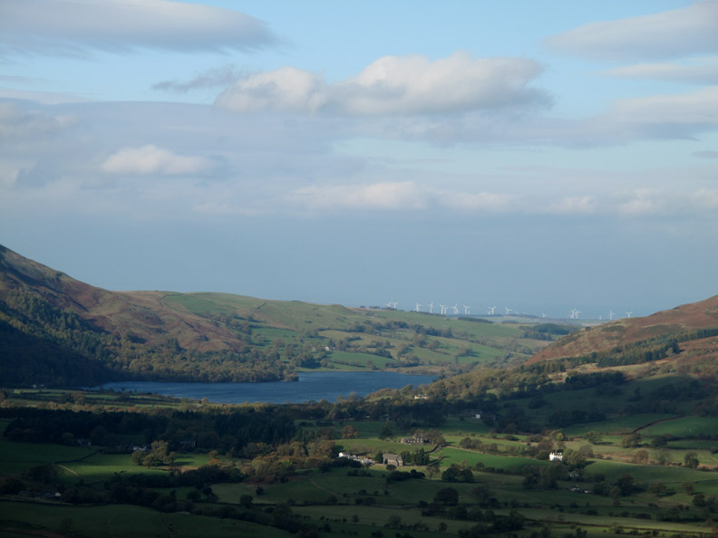
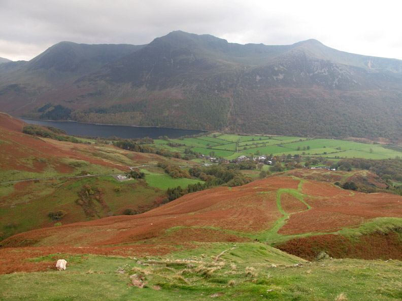
The Kirkstile Inn, the Church and Loweswater Vicarage in the sunshine and a blue but windy looking Loweswater behind. [ We won't say anything about the potential ring fence out by the coast ]
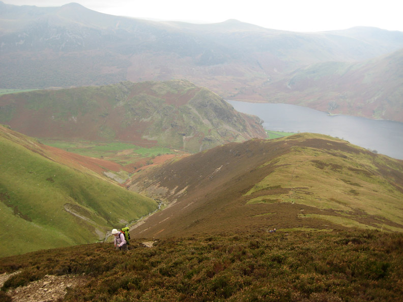
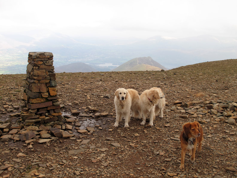
Lad Hows summit, a bump on the steady climb to the top of Grasmoor but a good place to stop and admire the view.
Ann's photo of Josie as the three lads fall behind . . . hey, we were having important conversations about computers and the like !
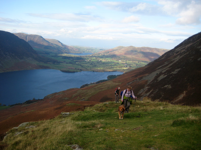
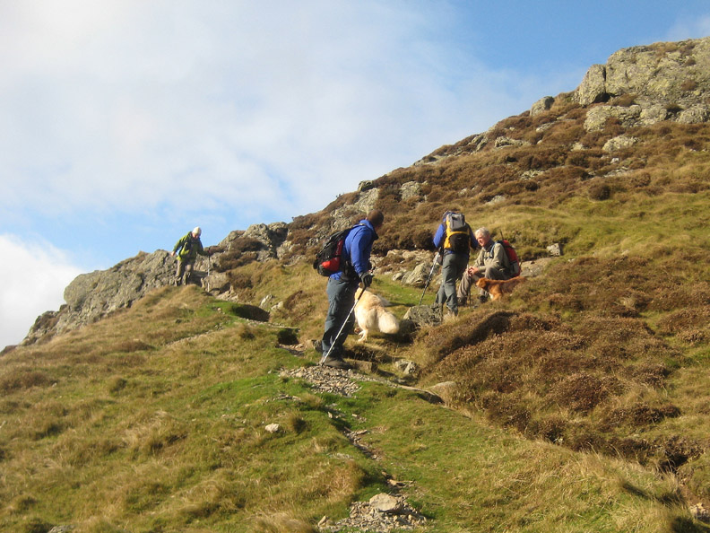
A short while later I had caught up, just as the ladies were reaching the steepest part of the climb. It's getting windy up here but it's pushing us up the slope (so I told John).
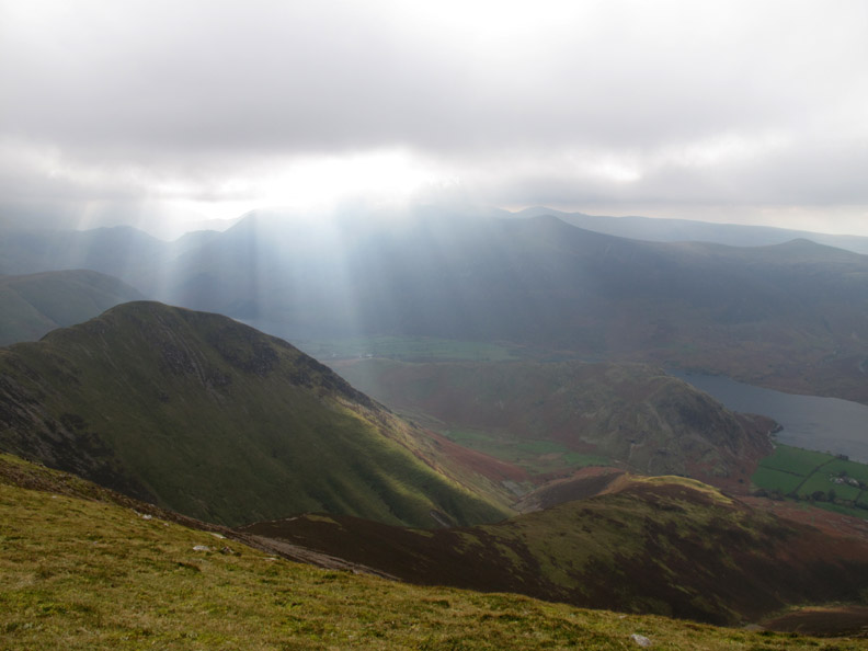
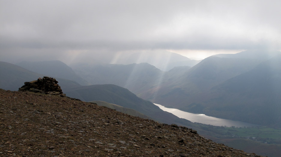
The summit ridge reached, those sunbeams are getting closer.
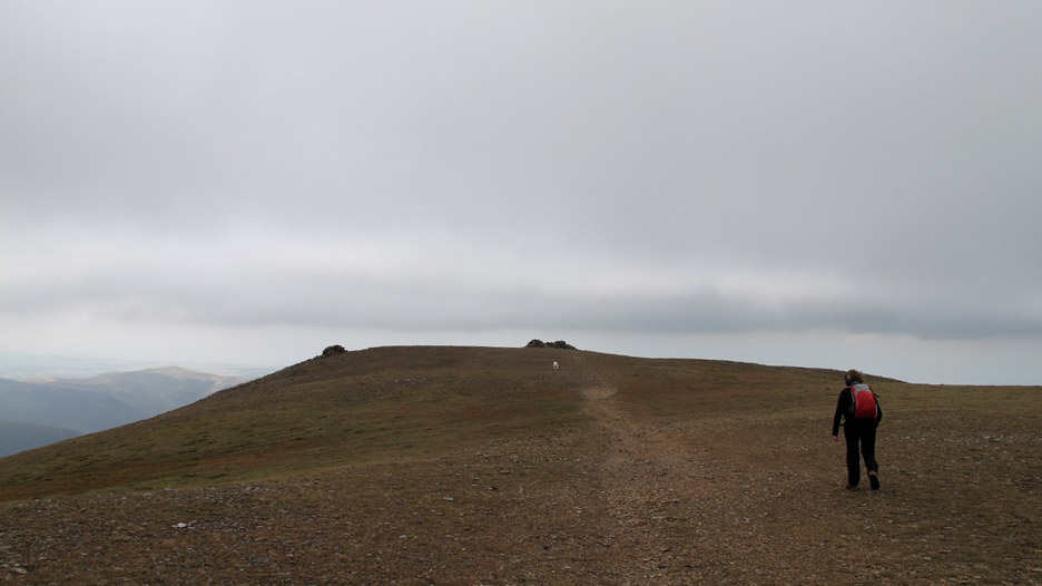
The flat top of Grasmoor comes as a pleasant change after climbing Lad Hows. There's the summit shelter ahead, plus the second shelter perched on the edge in order to catch the view down to the lake.
Not a bad view today either.
Lunch over, we set off again, back across the wide expanse of the summit ridge heading for the high fell in the distance.
The route ahead, down to the hause and up the other side, was taking us to the summit of Eel Crag / Crag Hill.
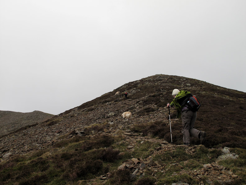
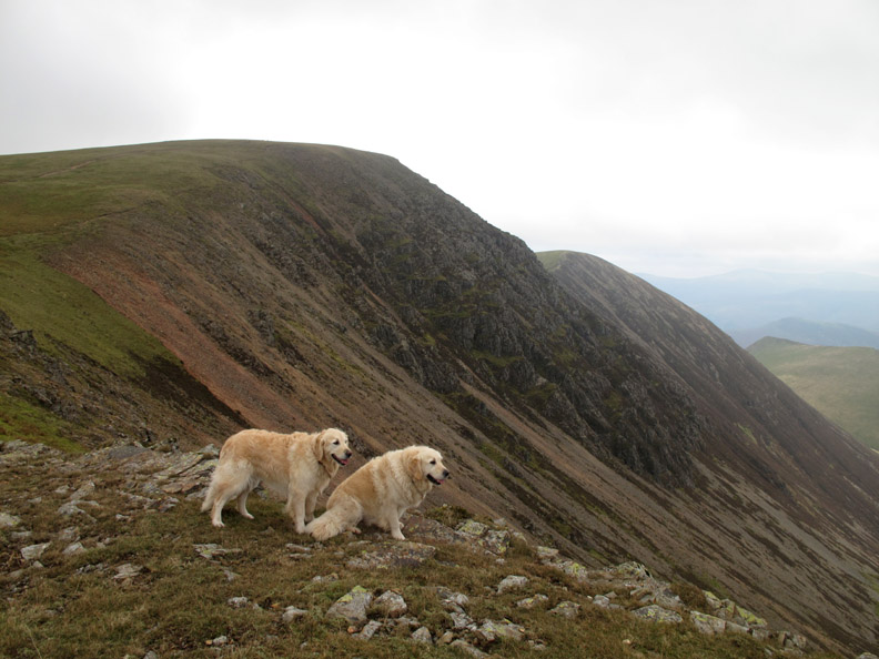
First to the top of Eel Crag / Crag Hill . . . as ever . . . the faithful hounds.
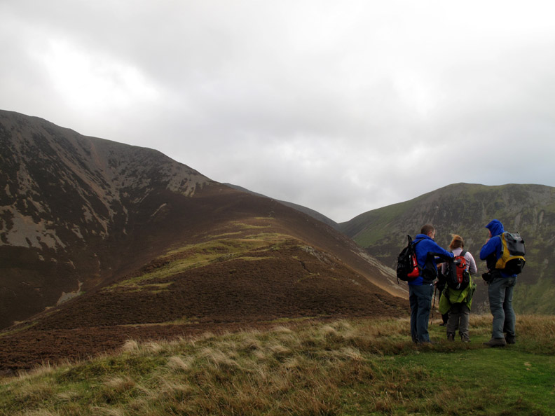
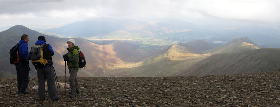
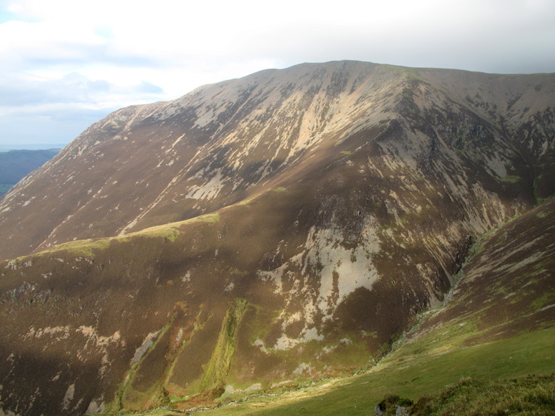
Wrapped up against the breeze, Dave, John and Josie discuss the view which extended from Grisedale Pike on the left, round to Causey Pike on the right. The Coledale Valley was below our feet.
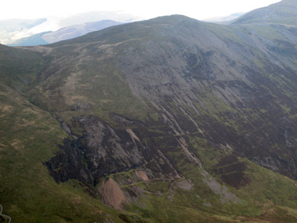
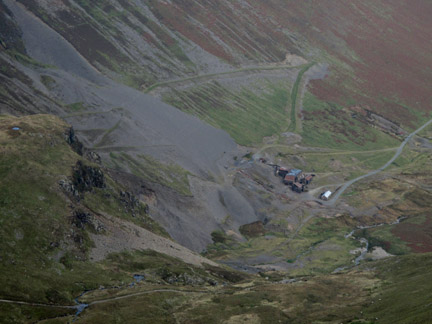
The Force Crag Mines were the last working underground mineral mines in the Lakes. They started as lead mines and ended by extracting Barites and other minerals. They closed for good in 1992. Now owned by the National Trust, you can occasionally visit the mine buildings on a guided tour.
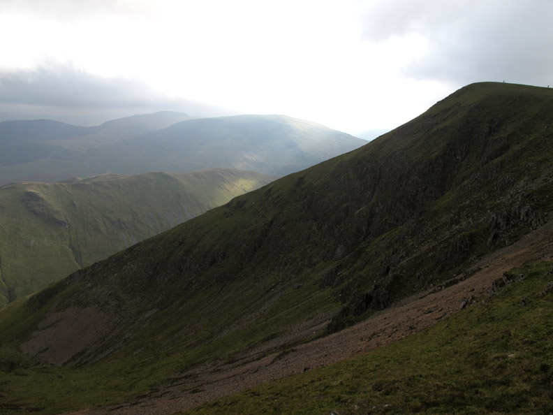
The dogs pause on the edge of Addacomb Hole, with the steep drop to Sail Beck below. Eel Crag that we had just left, can be seen behind.
The climb back up to the next summit, Wandope . . . two people on the top add a measure of scale to the photo.
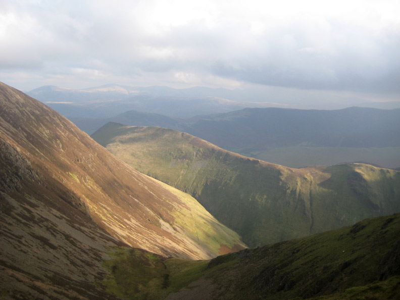
Strong sunlight for Ann as she looked down towards Ard Crags and Knott Rigg.
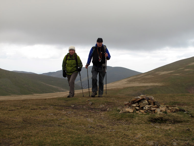
John and Josie stride purposefully up to Wandope's summit cairn.
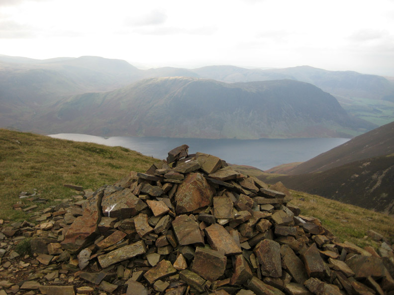
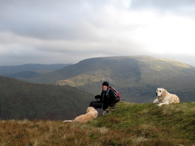
A large pile of stones marks the top of Thirdgill Head Man or is it Third Gill Head Boy . . . milk monitor . . . or janitor . . . the conversation was good but was getting a little silly at times.
Looking across to Grasmoor on our gradual descent.
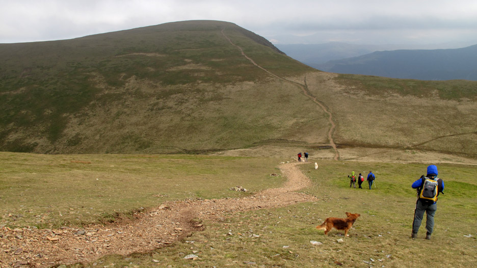
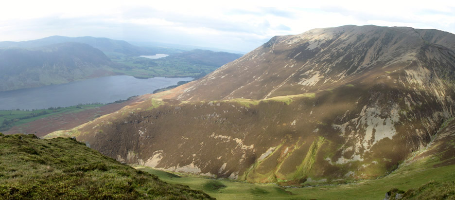
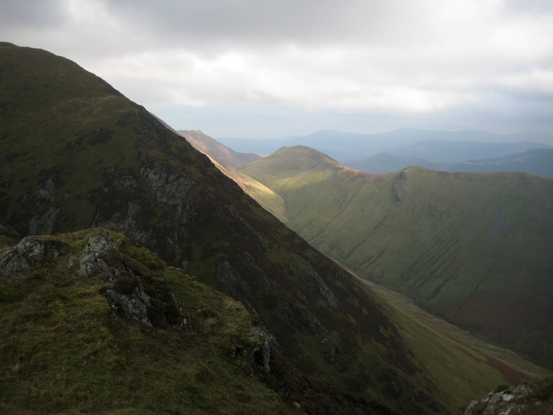
The full extent of the Lad Hows ridge that we had climbed earlier.
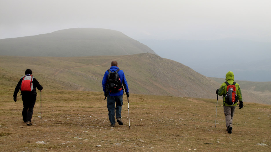
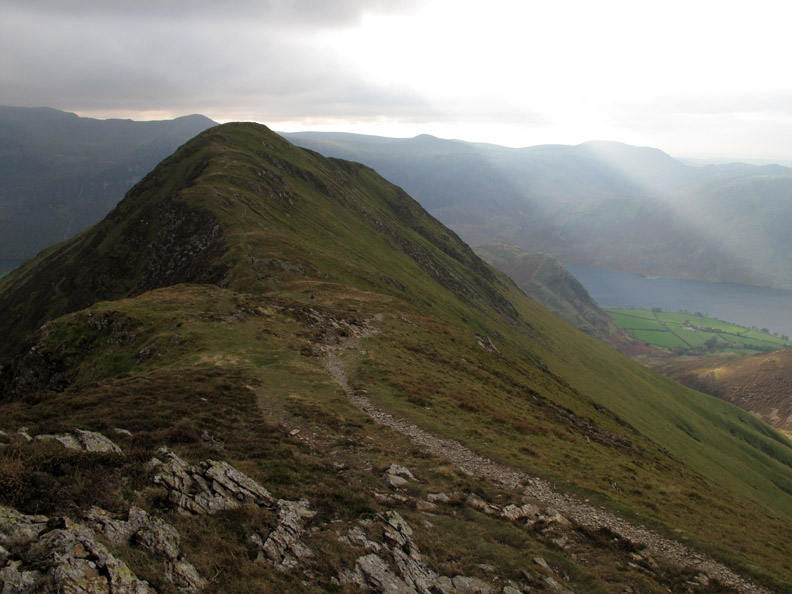
One last climb ahead . . . to the summit of Whiteless Pike.
The sunlight had moved round and was now illuminating Causey Pike in the distance.
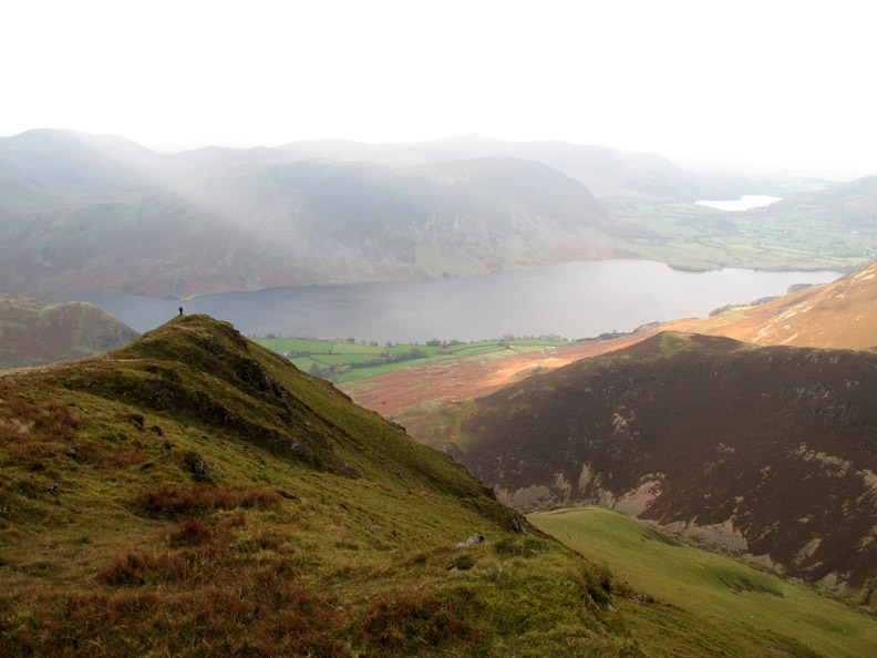
I recognise that red rucksack on the high ground ahead. Ann takes in the view of Crummock from her lofty perch.
Ann takes in the view before the start of the steep part of the descent. The rounded fell side of Robinson fills the background.
Completing the rocky part of the descent from Whiteless Pike
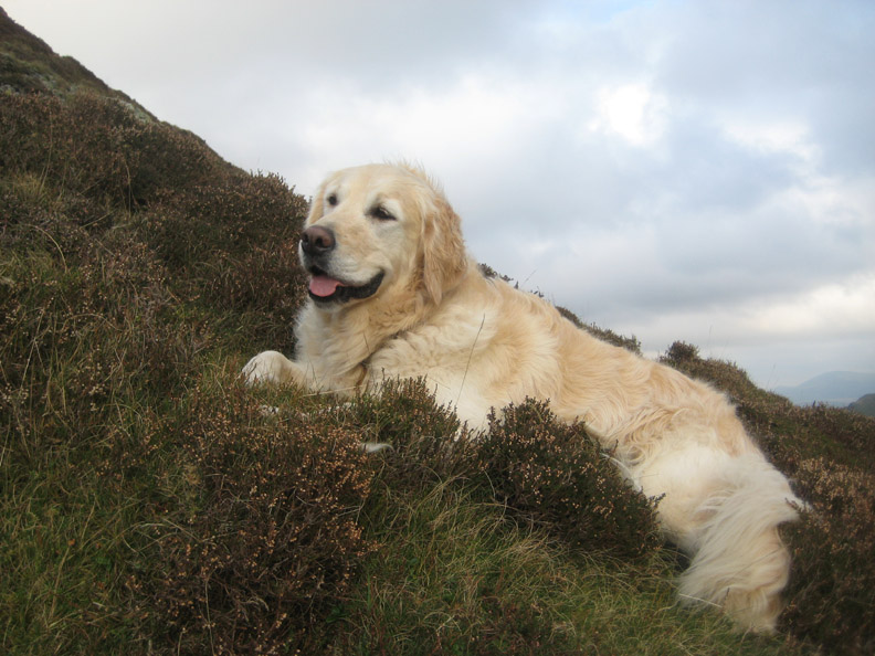
Harry taking advantage of a quick break.
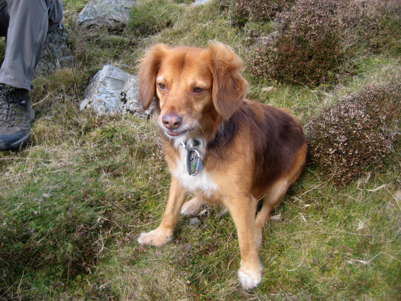
Polly likewise.
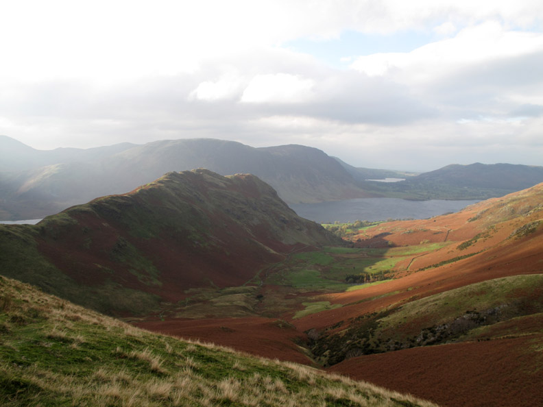
The sunshine is more widespread now as the afternoon progresses. The top of Rannerdale catches the sun but casts a shadow into the valley alongside.
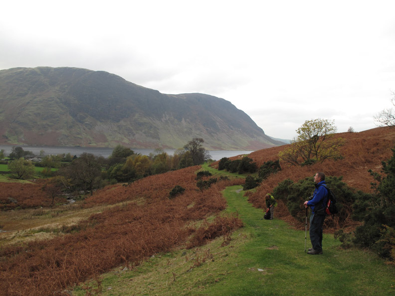
Green tracks to Buttermere Village, but we will turn right and follow the sun.
Light and shade . . . as we near the footbridge at the narrowest part of the valley.
Dave admires the bluebells . . . only he's about five months too late.
Nearing the end of the walk. The sun beams cast their light in a totally different direction from earlier in the day.
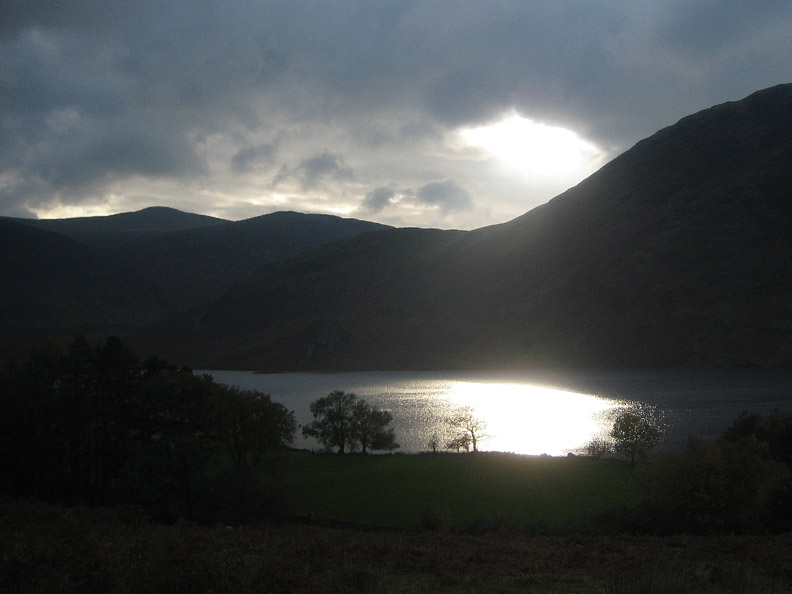
Sunlight on the water as we end an enjoyable walk in interesting weather. - - - o o o - - - |
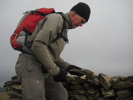
Technical note: Pictures taken with either Ann's Canon 75 or my Canon G10 digital camera. Resized in Photoshop, and built up on a Dreamweaver web builder. This site best viewed with . . . one more stone to improve the shelter for lunch. © RmH.2009 # Email me here # or leave me a Guest Book Entry Previous walk - Sunday 18th Oct 2009 Routenbeck & Sale Fell A previous time up here - 24th May 2006 Grasmoor with Fishers and Salomon Next walk - Sunday 25th Oct 2009 Gavel Fell with Gary and Sheena
|