![]()

Remember: Press F11 for a full
screen view of this page.
|
|
|
Remember: Press F11 for a full
screen view of this page. |
| Date & start time: Saturday 17th September 2009. 10.40 am start. ( NY 263 137 ) Location of Start : The red phone box, Stonethwaite, Borrowdale, Cumbria, Uk Places visited : Eagle Crag, Sergeant's Crag, High Raise, Sergeant Man, Low White Stones, Greenup Edge, Lining Crag and back to Stonethwaite. Walk details : 9.3 mls, 2700 ft, 6 hrs 20 mins including lunch. Highest point : High Raise 2,500ft ( 762m) Walked with : Daughter Jen, her friend Jen (confusing or what) Ann and the dogs, Harry and Bethan. Weather : Sunny but high clouds casting a few big shadows over the high fells. |
Sergeant
Crag Sergeant Man at EveryTrail |
|
A big cloud sat over the highest fells which cast a large shadow, but our way was clear and the views excellent.
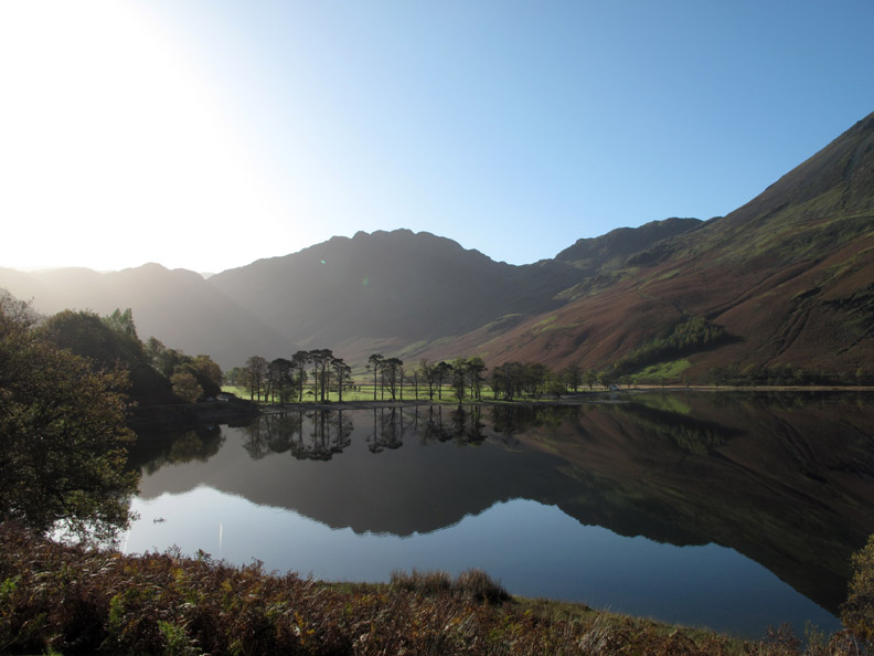
A clear blue autumn morning without a breath of wind, so the reflections of the Buttermere Pines were superb. Can't resist it . . . nor could ten or so other photographers . . . but they are all carefully "out of photo" for this shot.
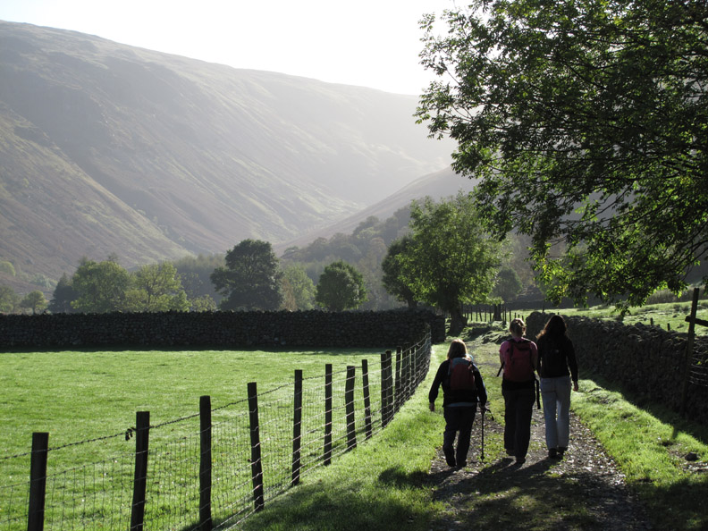
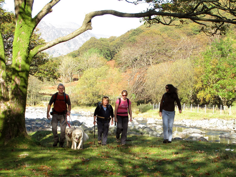
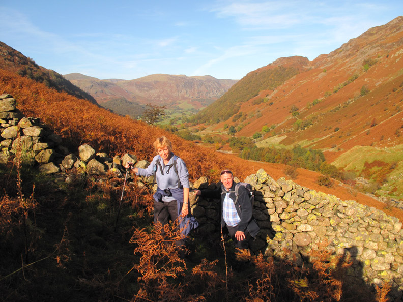
We parked at Stonethwaite Village and walked up past the Langstrath Hotel. We chose the valley path across the fields rather than the farm track up to the campsite.
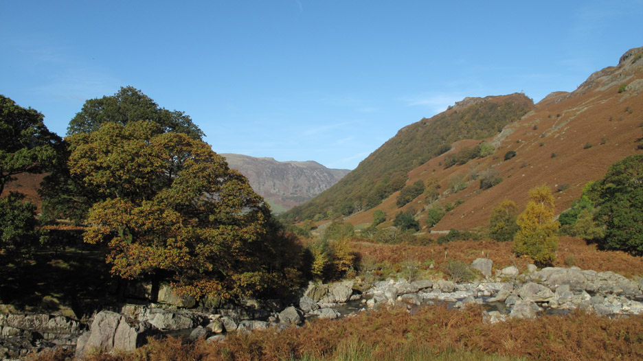
Looking back at the Langstrath and the beautiful Borrowdale morning.
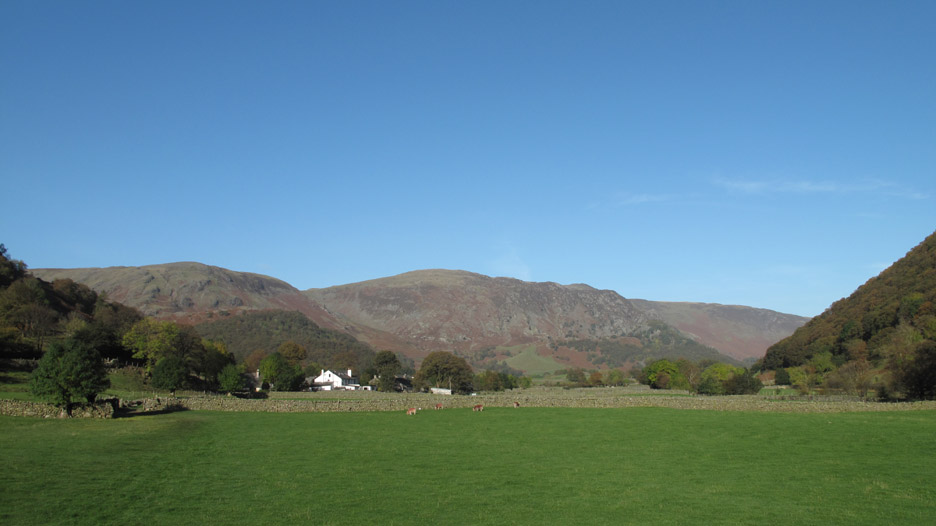
Low water levels and slightly hazy looking up the valley into the sun.
There's always something that you don't plan . . . There we were, minding our own business, Jen, Jen Ann and myself when we were approached by this guy with a big camera . . . Can we take your photo - you look a typical happy walking family - oh yes and can you sign this National Trust disclaimer absolving yourselves of any liability if we cracked his camera lens, and waiving any right to payment should we manage an appearance in the National Trust Calendar / brochure / web site in 2010. Well . . . what we do for a good cause ! Unfortunately they won't appear here or in our calendar because I forgot to get them to sign our disclaimer note so if you order your 2010 Loweswatercam Calendar here you can be pretty certain they'll not be in it.
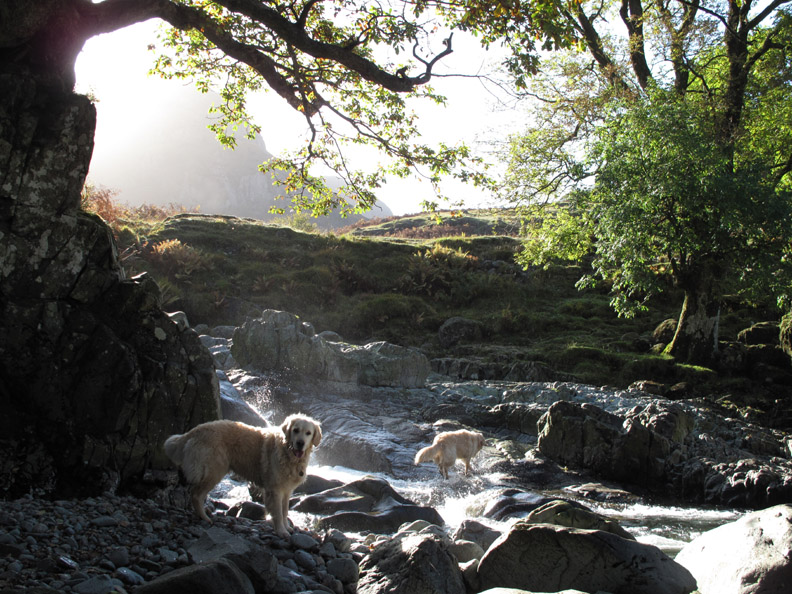
Our small charitable interlude over we continued on upstream, Harry and Bethan follow me down to the stream level but the picture of them in the sunlight turned out better than the one I had first intended to take so it's not included here.
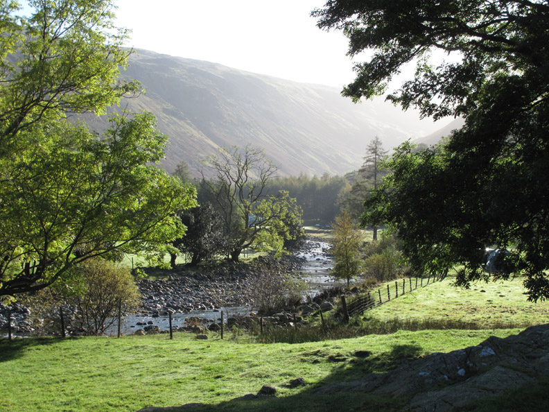
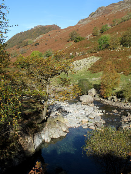
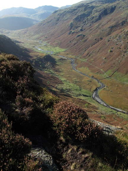
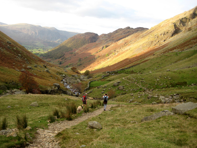
Just up stream from the confluence of the Langstrath with Greenup Gill the view back to Borrowdale took on a rosy autumnal look.
We diverted up Langstrath slightly in order to cross the river on the lower of the Langstrath bridges.
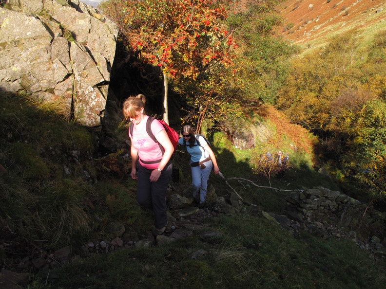
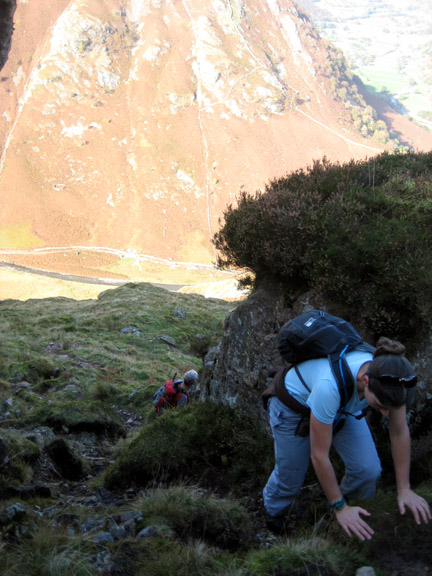
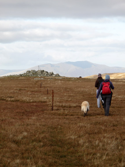
Jen and Jen break out into the sunshine again after scrambling up the rock path and away from Greenup Gill. I always think that this short, bad step is a measure of the route ahead. Cope with this and you'll cope with any scrambling on the rest of the walk.
We fell into conversation with two visitors from the east coast, Peter and Phillipa. They were trying to climb Eagle and Sergeant's crag on their first Wainwright round. We saw them on the summit of Eagle crag later on, so presumably their grand total of completed fells had increased by two by the end of today.
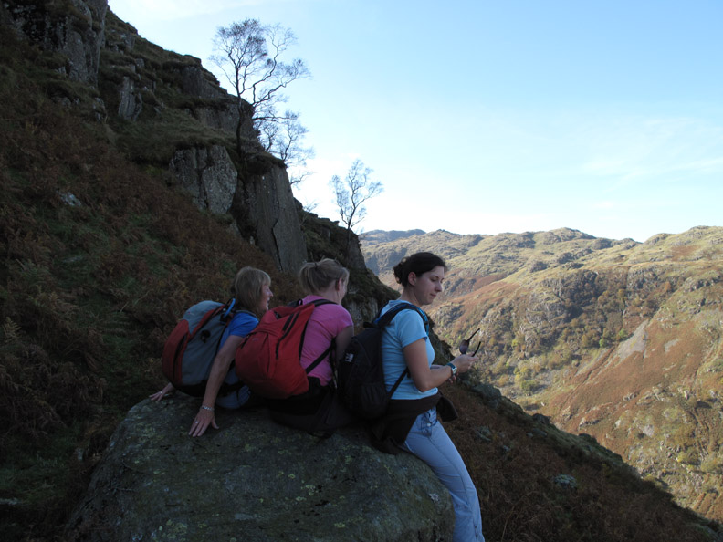
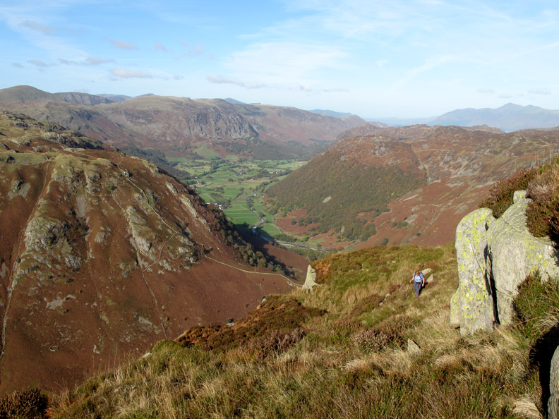
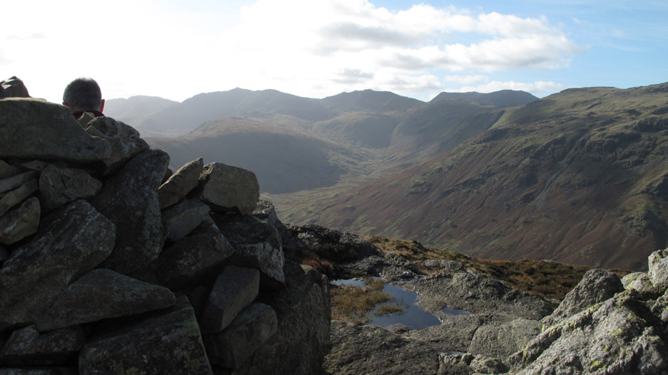
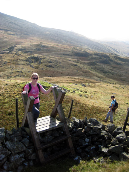
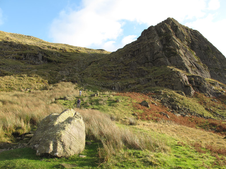
The main part of the climb complete, and the high level stile and fence negotiated without problem, we stop for a short break on a large boulder seat overlooking the valley.
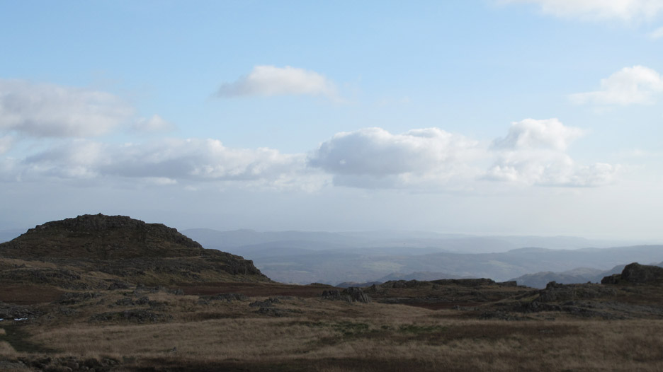
From here on, the ascent of Eagle Crag involves a series of relatively simple zig-zags up in between the rocks till you reach the summit.
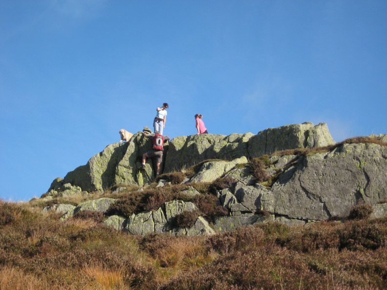
One last rock pitch . . . but you could just walk around on the grass !
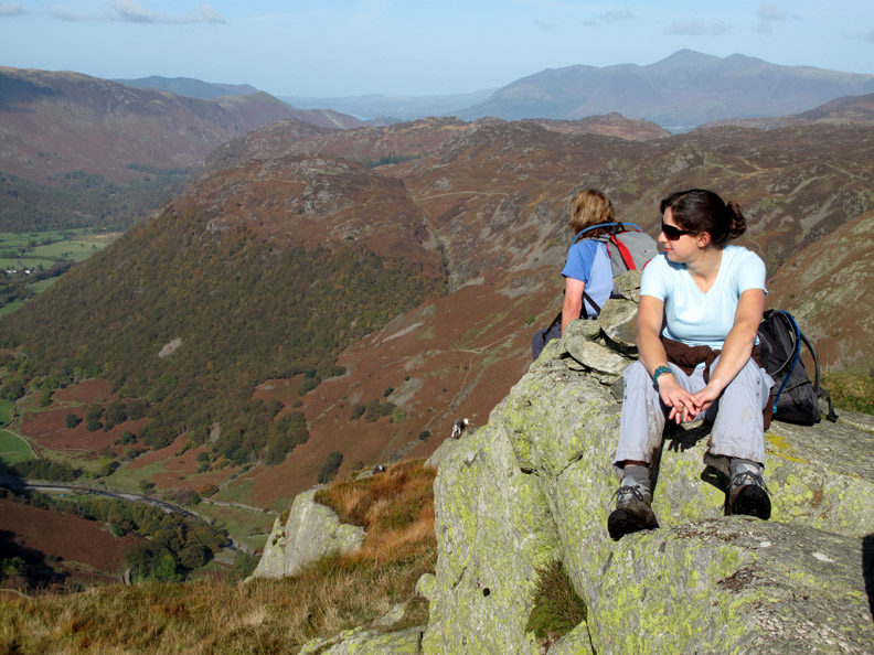
One of those 'Condor' moments . . . but without the cigar ! Jen and Ann sit and enjoy the view after the completion of the ascent.
Looking round . . . Honister Crags with the High Stile Ridge behind.
The unmistakable shape of Great Gable over Rosthwaite Fell.
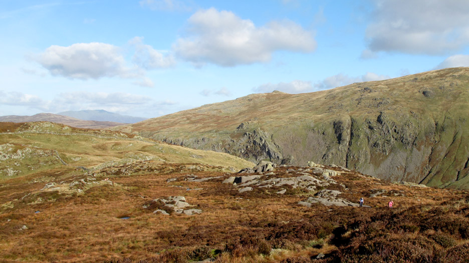
The crossing between Eagle and Sergeant's Crag is straightforward, if a little damp in one or two spots. Behind is Ullscarf with the minor peak of High Saddle centre picture.
Looking forward as we reach the top of Sergeant's Crag we have a fine view basically south to the Scafells, Esk Pike and Bowfell.
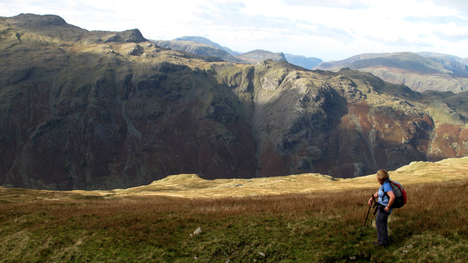
On the way, Ann stops to view the fells across Langstrath valley.
Looking back we can see our two recent summits and Skiddaw Fell in the background. Bass Lake and a few houses on the outskirts of Keswick can also be seen.
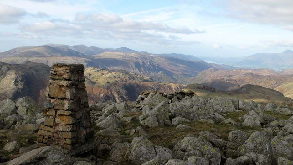
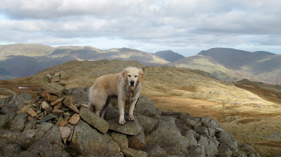
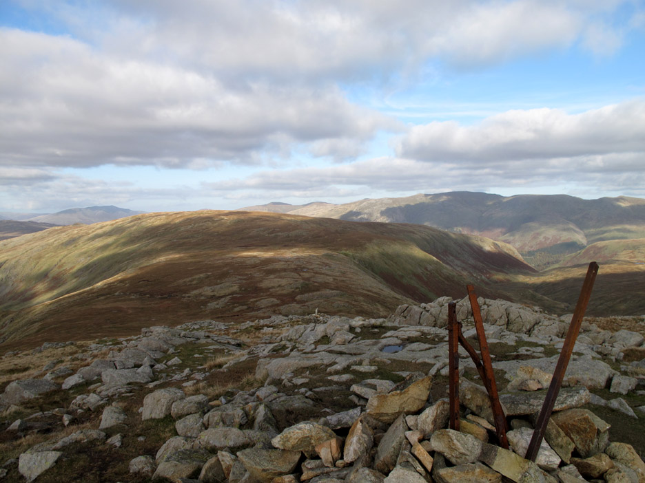
The fine stone trig point on High Raise is reached after a little effort. Most of the north western fells are now in view.
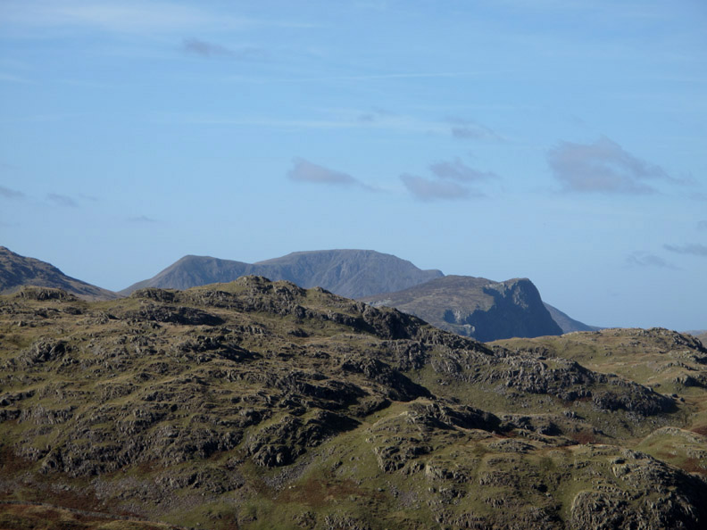
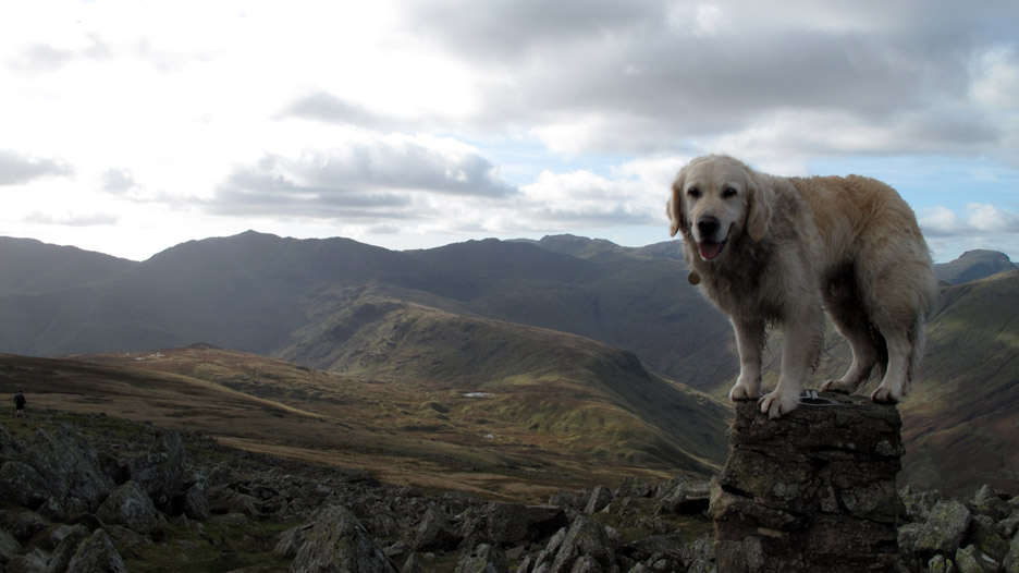
Turning round . . . Harry has claimed the high ground again ! Scafell Pike is the flattish looking fell with a slightly central peak seen in the middle of the photo.
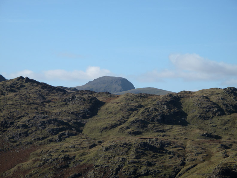
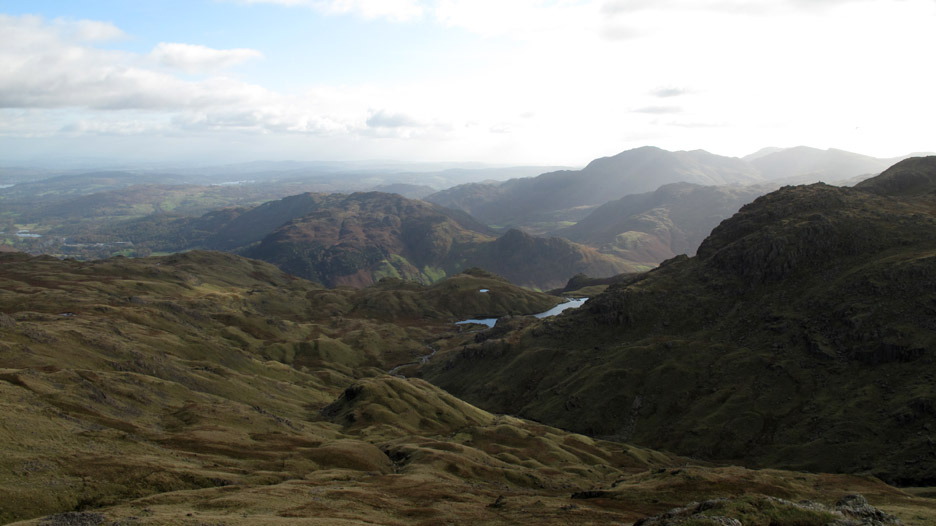
Looking south we can see into the Langdale Valley and across to the Coniston Fells. The lake is the partly hidden Stickle Tarn.
A close up reveals more of the detail . . . behind it is Side Pike on Lingmoor Fell.
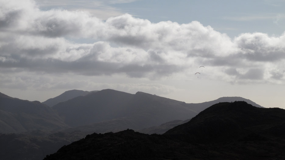
Two para gliders soar above the Langdale Valley . . .behind them are the Coniston Fells . . . notably Wetherlam (l to r) the Old Man of Coniston, Swirl How, with Great Carrs, Greyfriar and just a tip of Dow Crag showing in the centre.
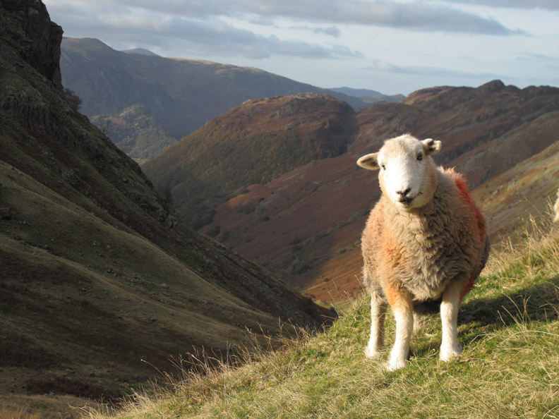
Objective four, though we weren't counting, was Sergeant Man. A slight rocky outcrop above Langdale, it has reasonable views south today over to Morecambe Bay and Lancashire.
Bethan climbs to the diminutive cairn on Sergeant Man. Behind her, to the east of where we are standing are (r to l) Fairfield and Seat Sandal, St Sunday Crag and the Helvellyn Ridge.
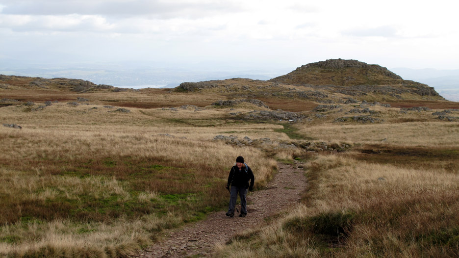
A good path leads us back towards High Raise as we turn and retrace our steps.
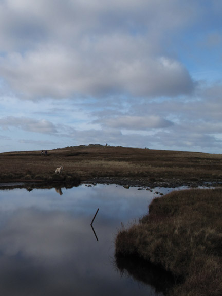
A few old items of ironwork define this minor peak as we start our descent to Greenup Edge.
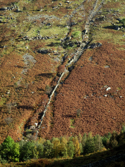
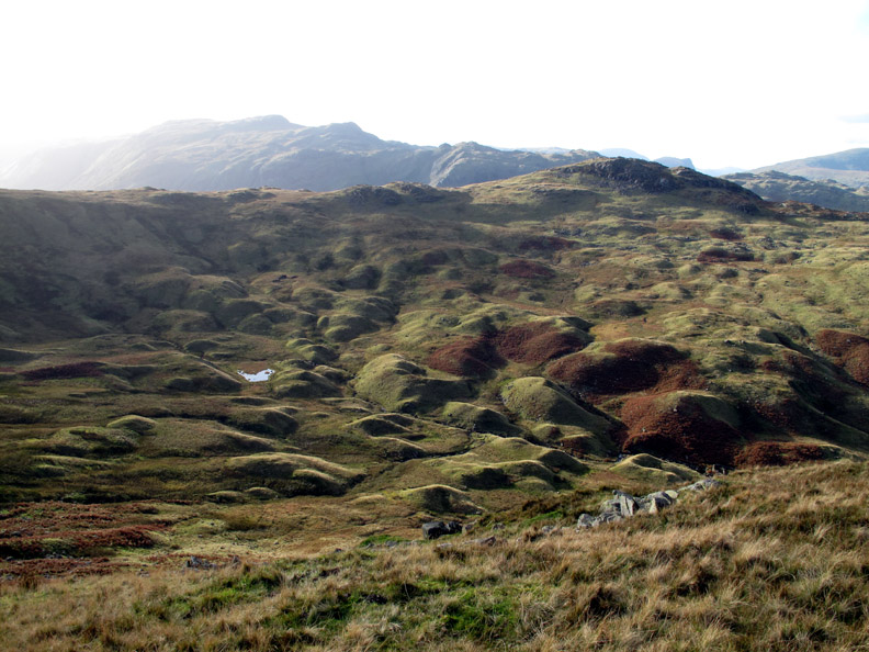
Known to geographers world wide as Drumlins, these are the residual piles of stones left behind as a glacier melts and retreats.
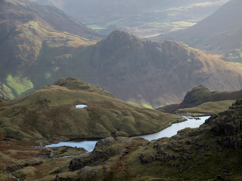
They fill the upper Greenup Gill Valley as we look down from Lining Crag.
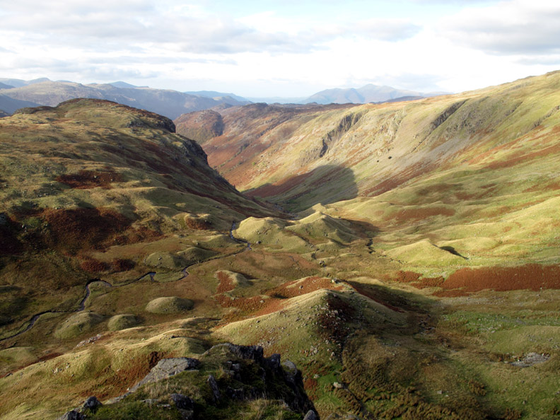
A pitched stone path brings us safely down from the top of the crag to the valley below.
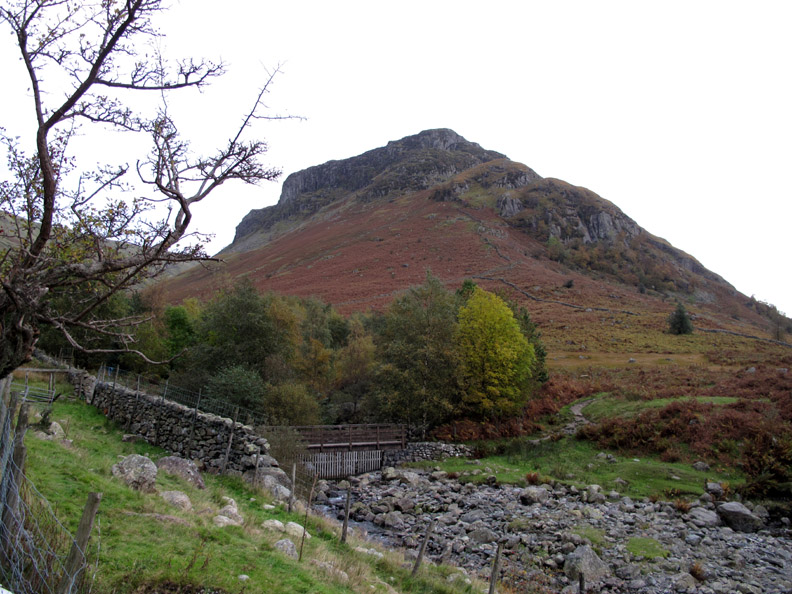
All that remains now is to walk down the valley path back to Stonethwaite.
Our circular walk almost complete as we pass the river bridge over Greenup Gill. We didn't cross this bridge earlier, but walked almost to it before turning and following the river up stream on the opposite bank. - - - o o o - - -
" I hope you enjoyed the walk as much as they did." - - - o o o - - - |
Technical note: Pictures taken with either Ann's Canon 75 or my Canon G10 digital camera. Resized in Photoshop, and built up on a Dreamweaver web builder. This site best viewed with . . . a mention in the National Trust brochure perhaps ???. © RmH.2009 # Email me here # or leave me a Guest Book Entry Previous walk - Monday 12th Oct 2009 Heron Pike and Alcock Tarn A previous time up here - 4th March 2006 Eagle Crag, Sergeant's Crag and High Raise in the snow Next walk - Sunday 18th Oct 2009 Routenbeck & Sale fell
|