![]()

Remember: Press F11 for a full
screen view of this page.
|
|
|
Remember: Press F11 for a full
screen view of this page. |
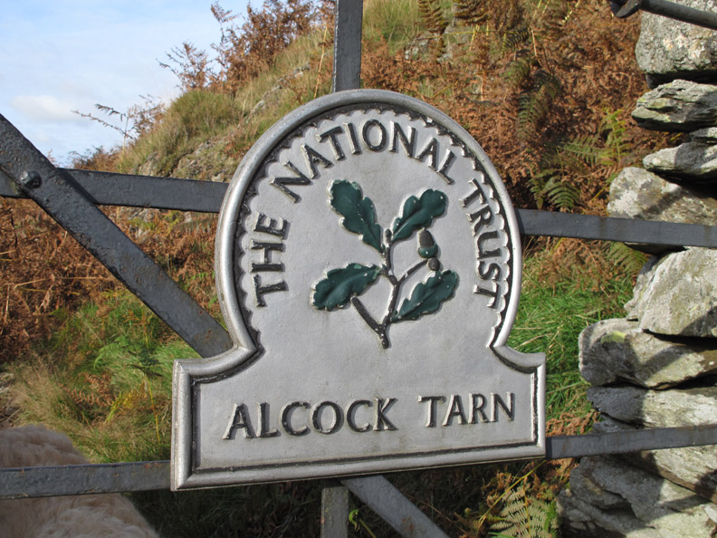
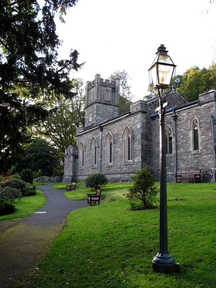
| Date & start time: Monday 12th October 2009. 1 pm start. Location of Start : Roadside near Rydal Church, Grasmere, Cumbria, Uk ( NY 365 063 ) Places visited : Nab Scar, Heron Pike, Alcock Tarn, Town End Woods and back via the Coffin Route. Walk details : 4.9 mls, 2150 ft, 3 hrs 50 mins including lunch. Highest point : Heron Pike 2,003ft ( 612m) Walked with : Ann and the dogs, Harry and Bethan. Weather : Sunshine all the way ! |
Heron
Pike and Alcock Tarn at EveryTrail |
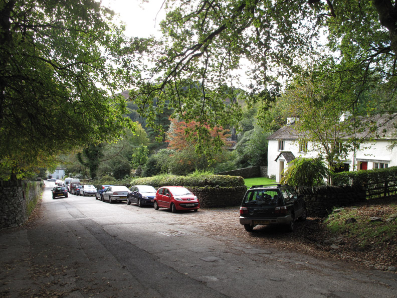
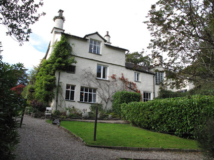
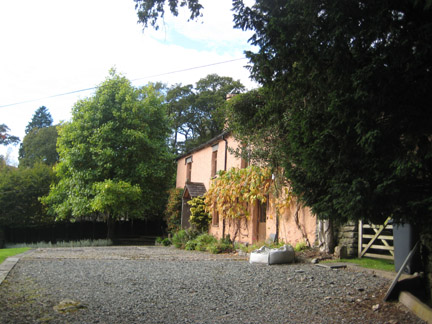
We grab the last parking space at the top of the road above Rydal Church. From here we walk up the last of the tarmac road towards Hart Head Farm, but not before passing two very attractive houses.
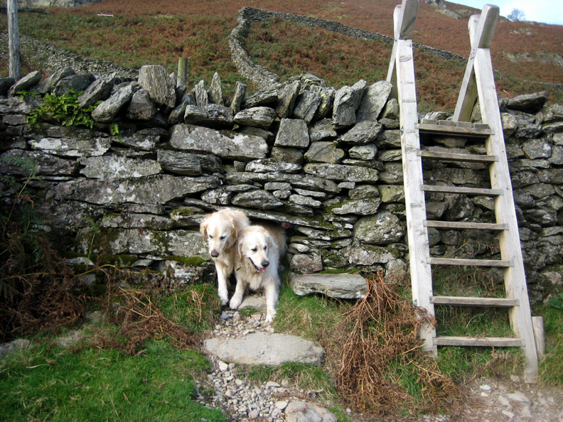
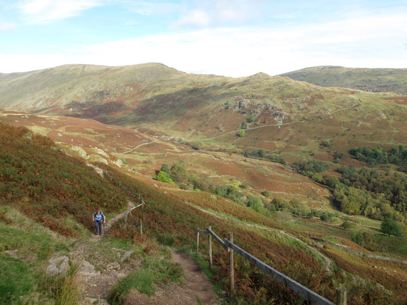
Above the farm we take the stile over the fell wall and start the main climb. Harry and Bethan come back to see where we are . . . room for two if you push your way through !
The pitched path makes climbing this section easy. It has bedded in well and is a fine example of the craft of path repairing.
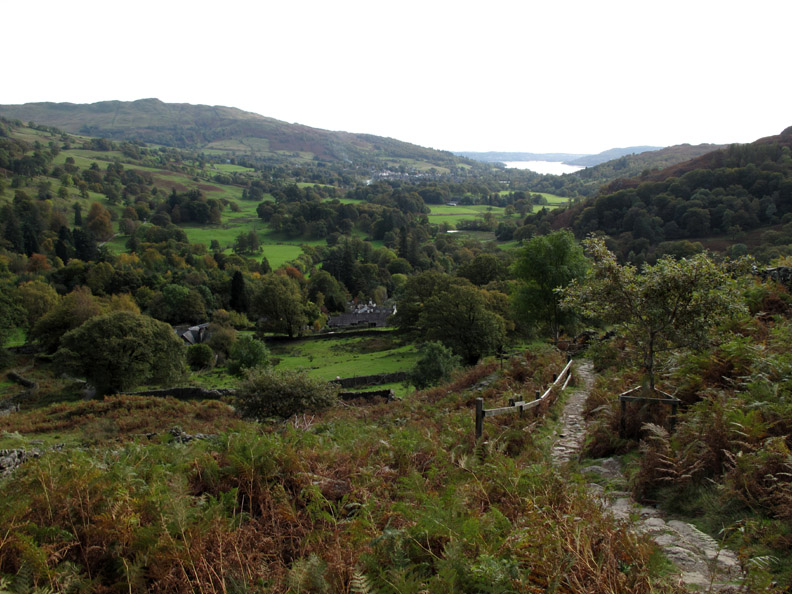
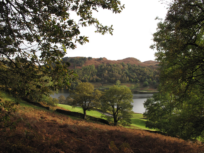
As we climb we look down on Rydal Water below us. Still waters allow the ducks to create bow waves as they swim along.
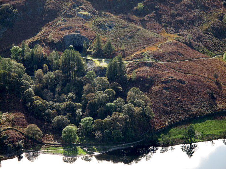
On the fell side above the lake, Rydal Cave can be clearly seen. This is a quarry cave resulting from the work of man rather than any form of natural erosion.
Climbing steadily, the path zig-zags a few times. Behind Ann are the summits of High Pike, Low Pike and Sweden Crag, the last part of the Fairfield Horseshoe walk.
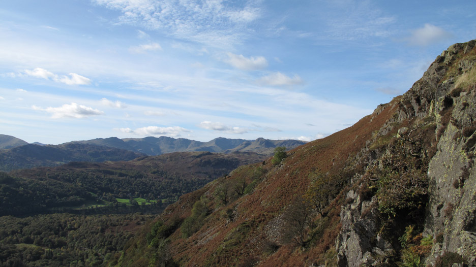
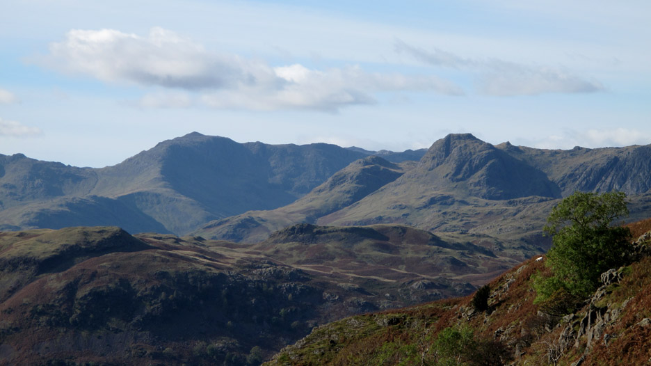
As we climb towards Heron Pike we pass above Nab Scar, the steep rock face above Rydal Water. In the distance is the full span of the Langdale Fells over the heather covered Silver How.
Zooming in, the pointed peak is Bowfell, with the Langdale Pikes to the right.
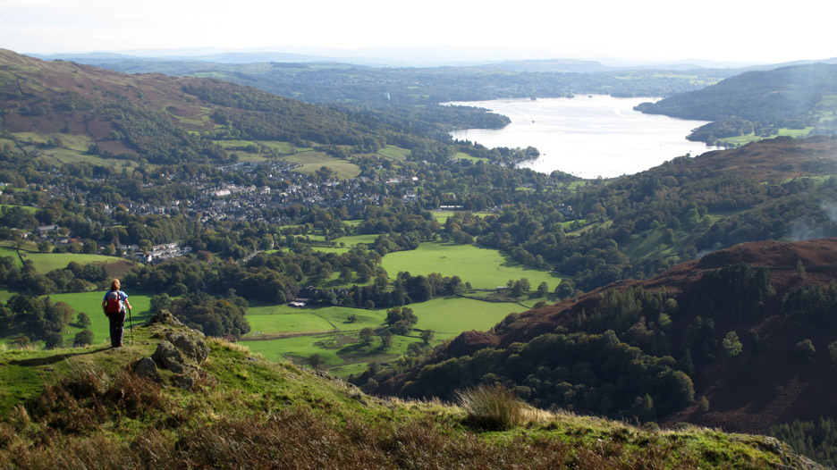
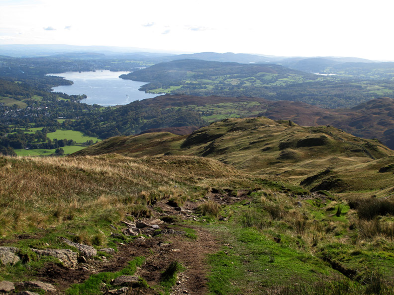
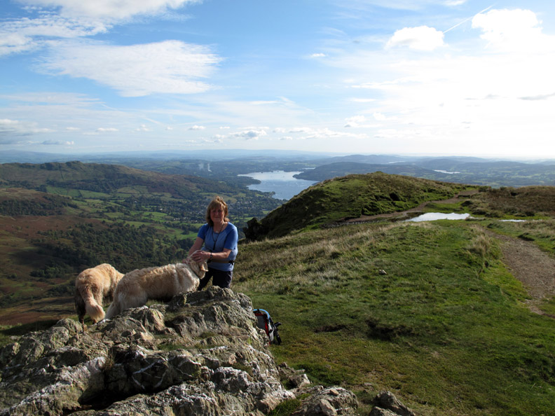
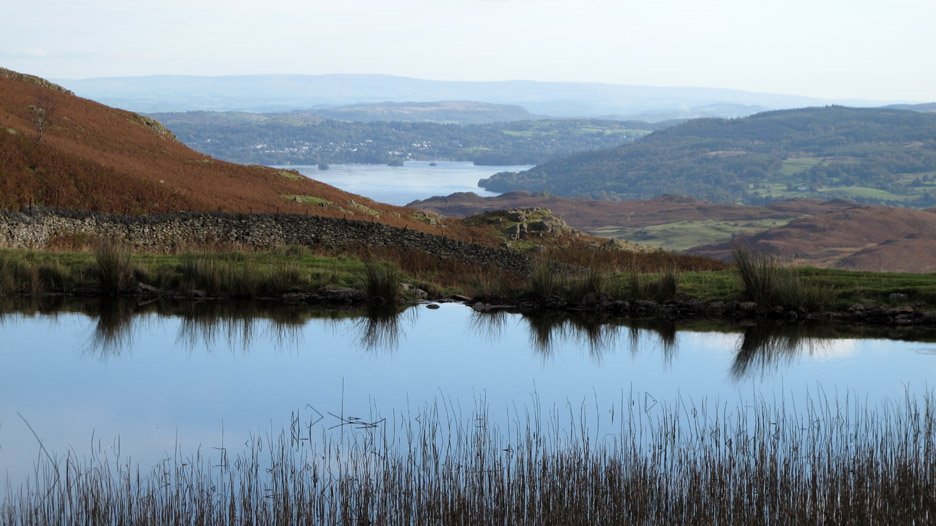
Ann stops to admire the view over Windermere. Walking the Lakes you should always allow time for the finer things in life, like stopping to check out the view.
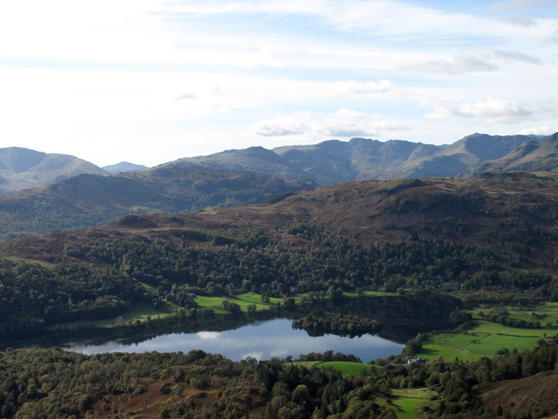
Grasmere with it's island reflected in the still waters. The peak appearing through the gap to the left is Harter Fell in Eskdale.
Onward and upward . . . with Nab Scar and Lord's Crag now far below.
Always a prominent feature from the main road, Helm Crag now blends into the background as we climb higher.
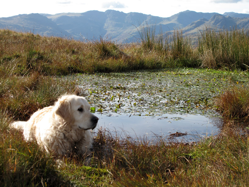
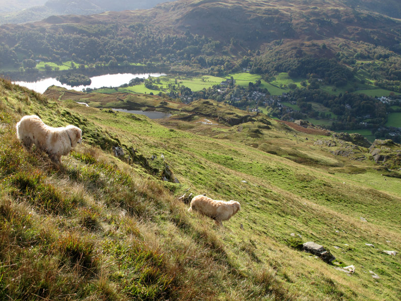
It's not particularly warm but Harry still wished to take a dip in one of the small pools on this part of the fell. I have a feeling this was a muddy peat bog when we walked this way in 2006.
The summit of Heron Pike and time for a spot of lunch on this beautiful sunny day.
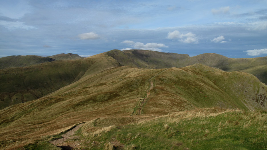
The route onward to Great Rigg and Fairfield . . . but we would take a sharp left here and head rapidly downhill on a footpath marked on the map as leading to Alcock Tarn.
It was steeper than we thought . . . and the path was less obvious than the map suggested . . .but no problem as we can see where we were heading.
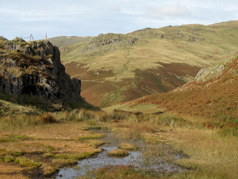
Seen through a gap in the rocks, there's a path up to Stone Arthur, the peak at the bottom of the ridge leading up to Great Rigg. This is one of the Wainwright summits that you can actually climb down to if you wish.
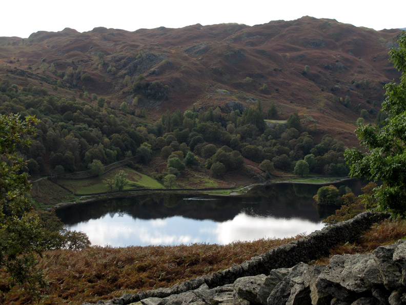
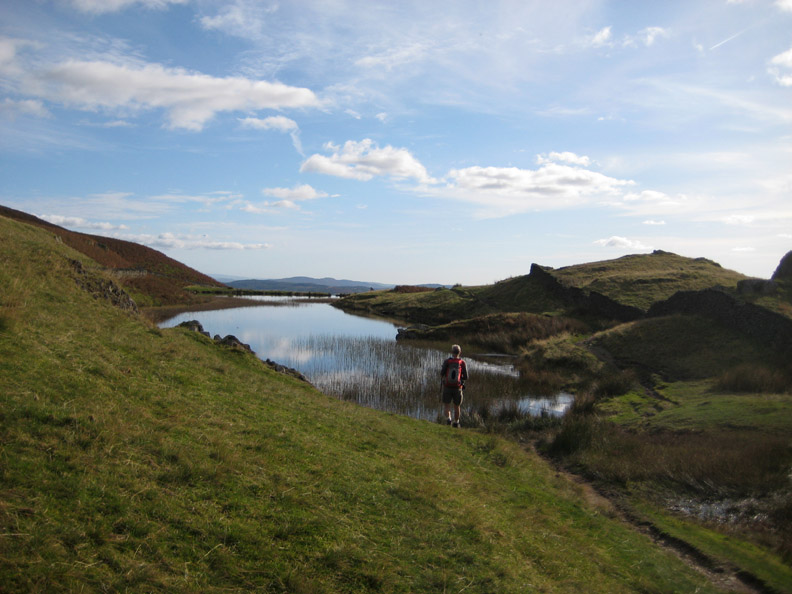
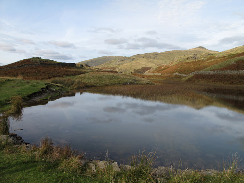
Alcock Tarn is tucked in a valley formed by these rocks.
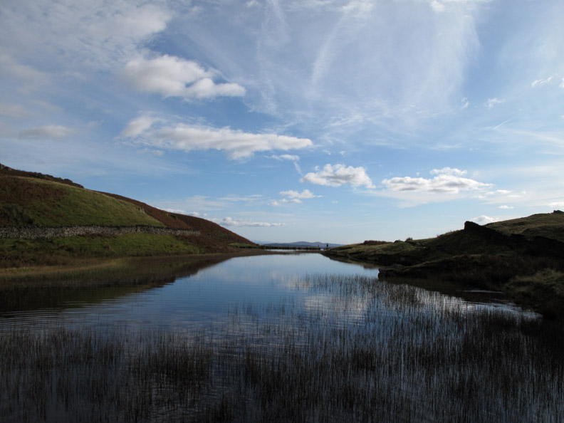
Big skies are reflected in the still waters of the lake today . . . at least it was beautifully still until something caused those ripples.
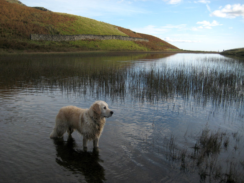
Hot dog . . . cool feet.
Ann walks around the end of the tarn which, with that bank at the end, turns out to be a small reservoir.
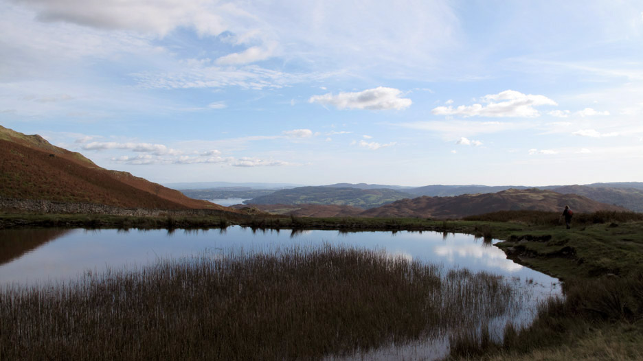
The view of Windermere is rather fine.
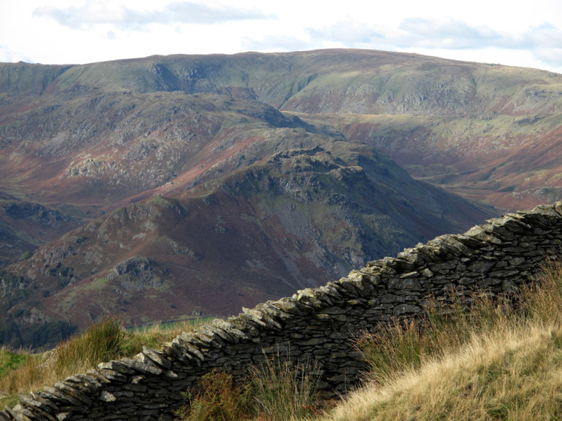
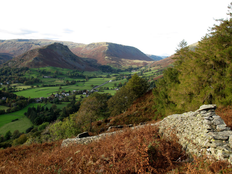
The view back includes Great Rigg and Seat Sandal.
We took the path towards Town End Woods and this brought us back down to the same level as Helm Crag
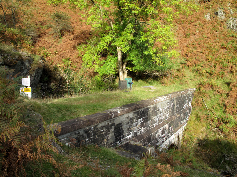
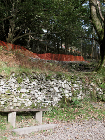
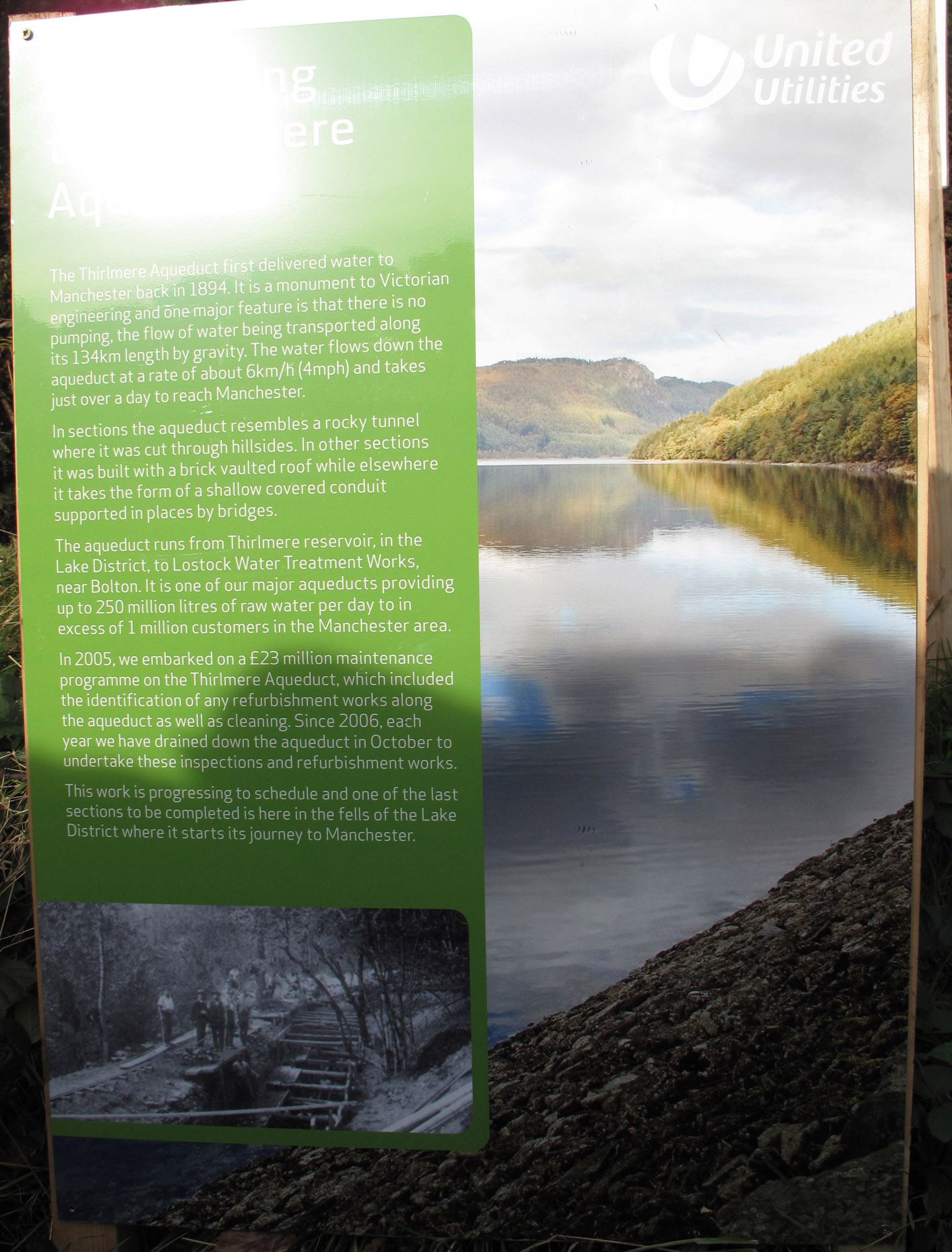
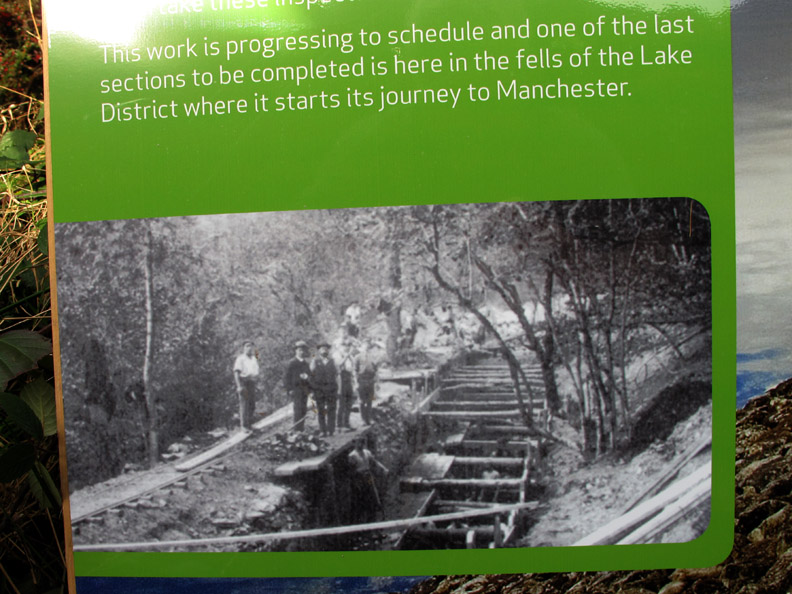
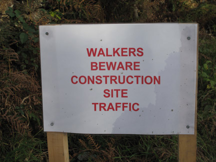
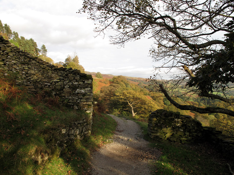
Needing to get back to Rydal, we took a secondary path above the woods and traverse round towards Nab Scar, heading for the Coffin Road. On the way we came across the Thirlmere Aqueduct as it makes it's way south, taking Cumbrian water to Manchester. It was a tricky path round the woods and on reaching the road we found the path had been temporarily closed . . . but it was a bit late by then.
The Victorian aqueduct is getting it's first major overhaul since 1894.
Rydal Water once again as we leave the building site behind and walk the undisturbed road.
The old Coffin Road continues on as a rather nice footpath, heading for Rydal Church.
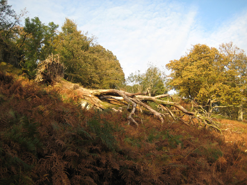
An old oak toppled by time lies forlorn above the path.
- - - o o o - - - |
Technical note: Pictures taken with either Ann's Canon 75 or my Canon G10 digital camera. Resized in Photoshop, and built up on a Dreamweaver web builder. This site best viewed with . . . a first visit to a new tarn for us, after all this time. © RmH.2009 # Email me here # or leave me a Guest Book Entry Previous walk - Sunday 11th Oct 2009 Whinlatter Return A previous time up here - 8th June 2006 The Fairfield Round on a hot summer's day Next walk - Saturday 17th Oct 2009 Dashing White Sergeants
|