![]()

Remember: Press F11 for a full
screen view of this page.
|
|
|
Remember: Press F11 for a full
screen view of this page. |
| Date & start time: Tuesday 11th August 2009. 1.30 pm start. Location of Start : The old Martindale Church, Ullswater, Cumbria, Uk ( NY 434 184 ) Places visited : Knicklethorns Farm, Low Brock Crag, Beda Head, Beda Fell, Heckbeck Head, and return via Dale Head Farm and Bannerdale Valley. Walk details : 5.6 mls, 1525 ft, 4 hrs 30 mins including lunch. Highest point : Just short of Heckbeck Head, 1730 ft ( 532m ) Walked with : Jo, Ann and the dogs, Jodie, Amber, Harry and Bethan. Weather : Cool and grey with the possibility of rain and cloud spreading from the north west. [Click on the drop down menu bar
for your choice of Google map or photo display ] |
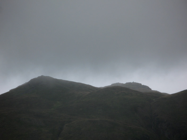
Beda
Fell in a bit of a Drizzle |
|
A late start today, due to inclement weather and a delightful cuppa at Jo's, finds us across the water ( Ullswater that is ) in the valley of Bannerdale. Jo, Ann and myself set off to climb Beda Head and the ridge beyond leading to Beda Fell. What more we achieve will be rather weather dependant.
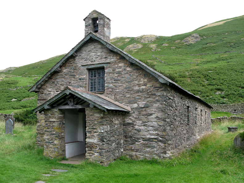
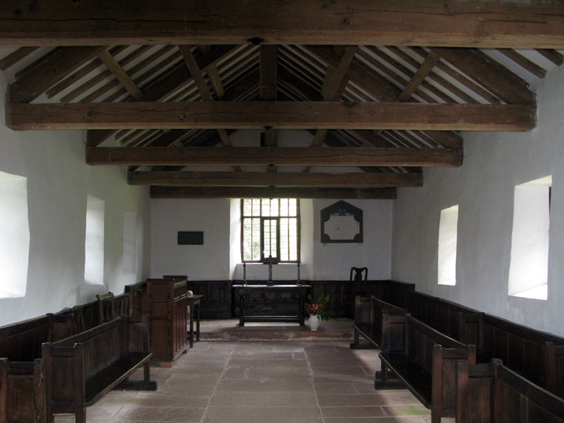
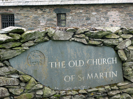
The Old Church of St Martin . . . they still hold services once a month during the summer. We pop inside to appreciate the building before we start the walk.
A plain but well maintained little Church, the pews turned sideways when not in use (I assume).
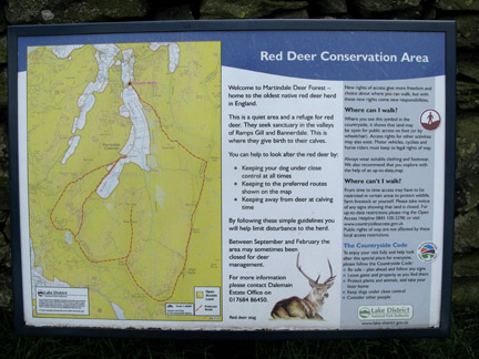
Click here or on the photo for a larger, more readable version of the Deer Conservation sign.
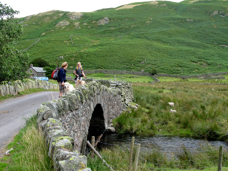
The walk underway, we cross the old stone bridge known as Christy Bridge.
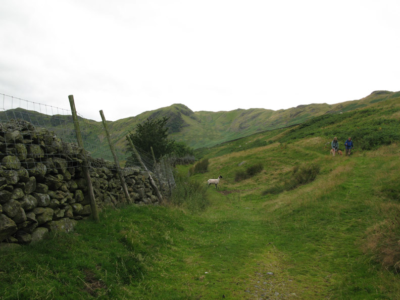
A short distance down the road and then we turn to start the climb.
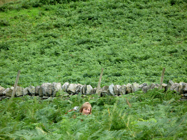
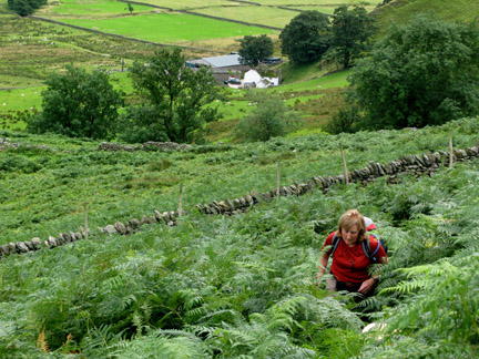
The Bracken is high again this year.
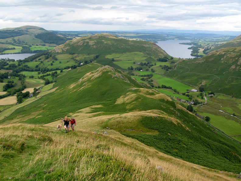
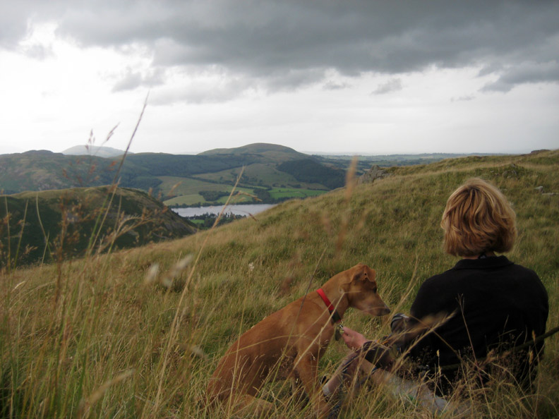
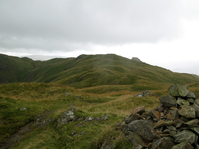
Having reached the ridge we can look back at Hallin Fell and Ullswater.
" Name that Fell " The closer green one is Sleet Fell (part of Place Fell) . . . The second is Blencathra (no points there) . . .What's the third fell behind ? [ Hold your cursor on the photo to find the answer ]
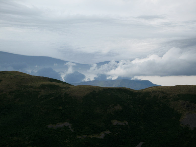
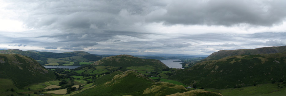
The cloud patterns today were delightfully unusual. The underside of the cloud base seems to undulate, probably in sequence with the undulating jet stream high above.
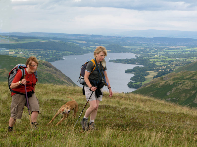
Young Amber is full of energy as she races round and round us . . .
. . . but sits reasonably quietly when attached to her lead over lunchtime !
On the bank next to the small shelter was our location for lunch today. The weather is holding out at present but there were signs of change that matched the forecast..
Sure enough the first of many showers arrived . . . flying across the valley from the direction of St Sunday Crag.
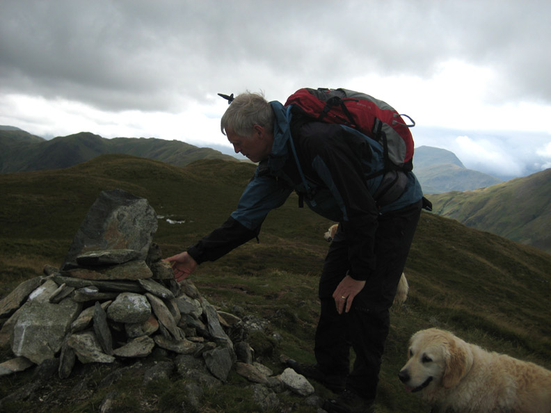
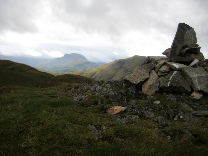
The summit cairn of Beda Fell was reached . . . but it needed slight adjustment.
That's better . . . the cairn is looking complete . . . AND . . . St Sunday Crag in the distance is clear again.
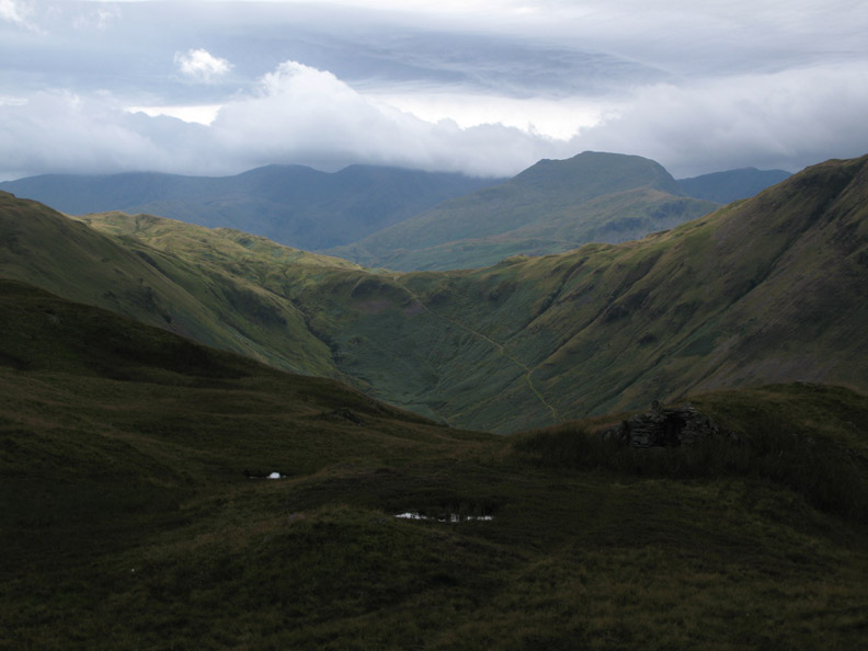
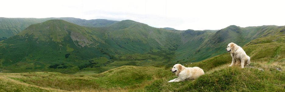
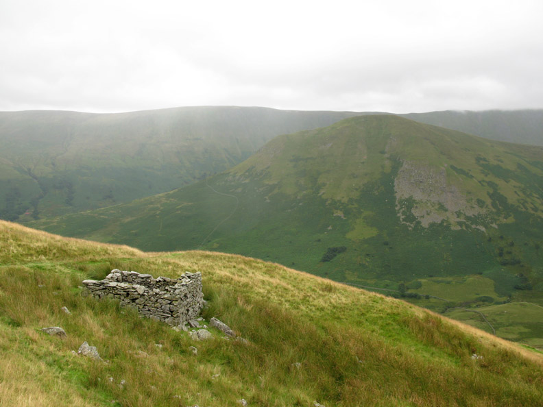
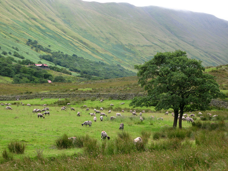
The view across Bannerdale. The Nab is the rounded fell on the left, with Rest Dodd in the centre and Satura Crag at the head of the valley behind the dogs. Behind them the cloud is just touching the highest part of High Street.
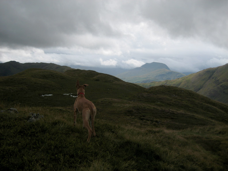
A dark cloud passes over us as we continue on up the ridge. Amber is checking out the route ahead.
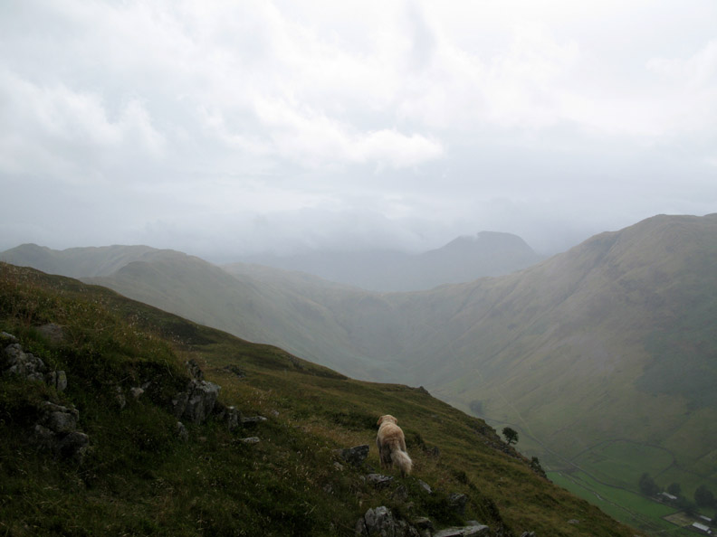
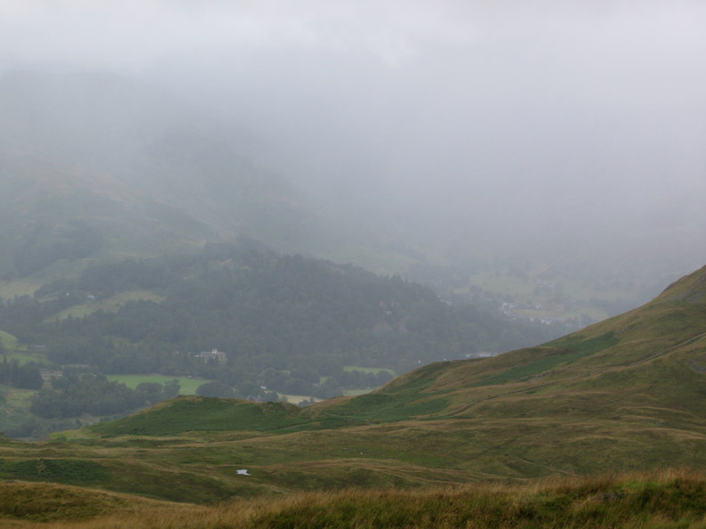
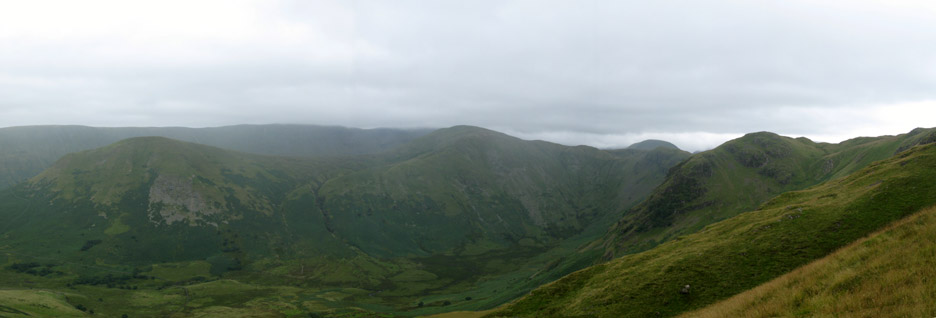
More bad weather as we look over to Boredale Hause and Patterdale.
Place Fell's summit cairn is just about to disappear into the cloud and rain.
We reached the path junction and were heading for Heckbeck Head ahead (that's a tricky one), but due to one thing and another, we retraced our steps and started our descent back to the valley.
An old stone building alongside the path. It was probably an old shooting Lodge rather than a barn or sheepfold.
The Nab and Rest Dodd again but this time with a grey tint from a passing shower.
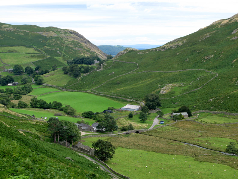
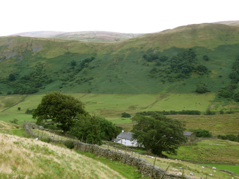
Dale Head Farm back at valley level. The farm is no longer in use, but the farmhouse is still very much lived in.
Looking back at the path we used on our descent.
The red roofed bungalow is now advertised as available for holiday lets during the summer . . . through the Dalemain Estate office. The bungalow was famous/ infamous for being used to entertain the German Kaiser on one of his Deer stalking holidays before the first world war.
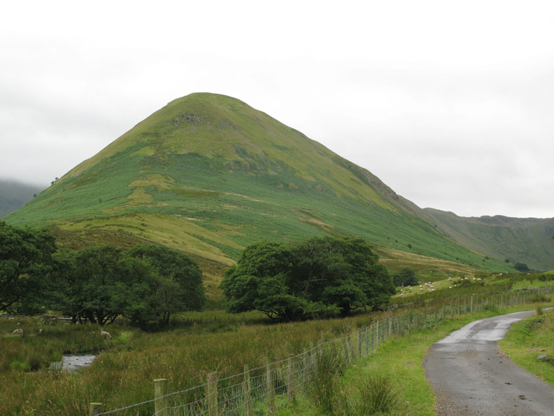
The Nab, once a 'no-go' area for fellwalking but is now open access and available to climb.
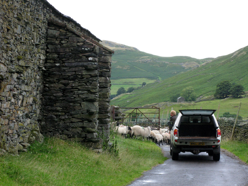
It was a simple valley walk back to the car . . . but it's rush hour and there's a delay.
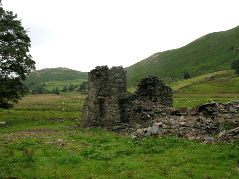
The ruined farm at Henhow . . . ripe for development ? In case you were wondering . . . someone has beaten you to it as there is already a planning application to re-develop the site for agricultural worker's housing. The buildings in the distance are Winter Crag . . . and St Martins Old Church at the end of our walk. - - - o o o - - - |
Technical note: Pictures taken with with Ann's Cannon 75 or my Cannon G7 Digital camera. Resized in Photoshop, and built up on a Dreamweaver web builder. This site best viewed with . . . tea at Jo's. © RmH.2009 # Email me here # or leave me a Guest Book Entry Previous walk - Friday 7th August 2009 Latrigg with John & Dee A previous time up here - 5th September 2006 A circular walk of Beda and Place Fells Next walk - Wed 12th August 2009 A direct ascent of Dale Head
|