![]()

Remember: Press F11 for a full
screen view of this page.
|
|
|
Remember: Press F11 for a full
screen view of this page. |
| Date & start time: Thursday 23rd July 2009. 11.30 am start. Location of Start : The National Trust car park, Buttermere, Cumbria, Uk ( NY 173 173 ) Places visited : Scale Bridge, Scale Force, Blea Crag, Lingcomb Edge, Red Pike, Dodd, Bleaberry Tarn then back to Buttermere and the Bridge Hotel. Walk details : 7.25 mls, 2,500 ft, 6 hrs 30 mins incl lunch. Highest point : Red Pike. 2,479 ft ( 755m ) Walked with : Jo, John, Sam, Thomas, Ann and the dogs, Jodie, Amber, Polly, Harry and Bethan. Weather : A drier day but still blustery with heavy skies . . . but the sun did shine occasionally. [Click on the drop down menu bar
for your choice of Google map or photo display ] |
Scale
Force and Red Pike |
|
A better day . . . and chance for us to climb up onto the High Stile Ridge following a request from the boys. An extended walk around to Scale Force means we don't do the full ridge, but it was still a good day out.
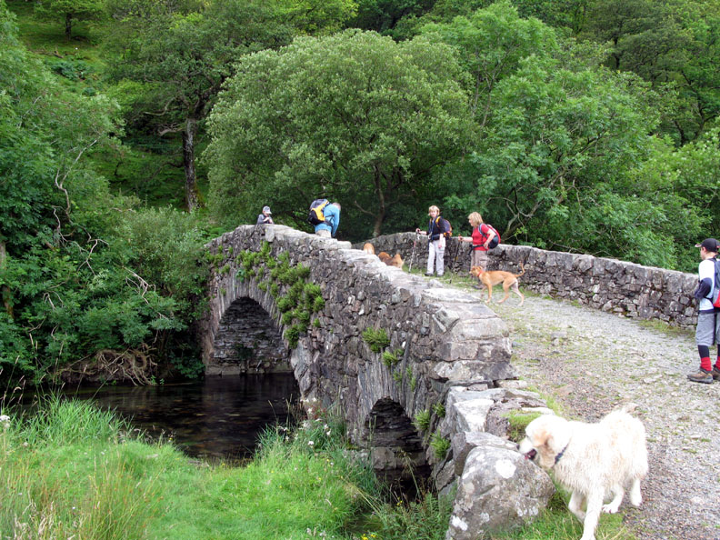
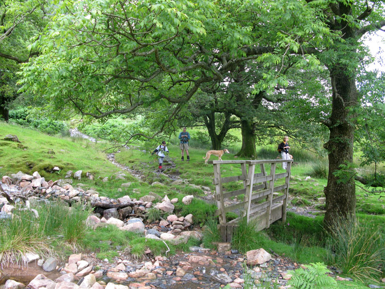
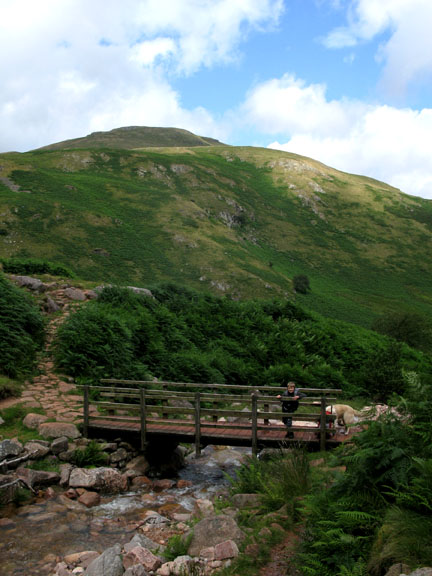
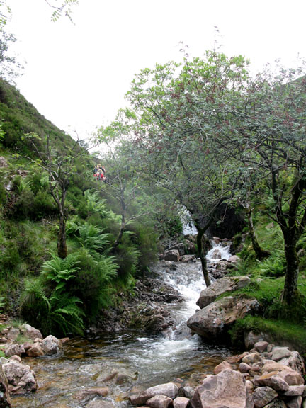
Scale Bridge, the lower of the two bridges that cross the river at Buttermere Dubbs.
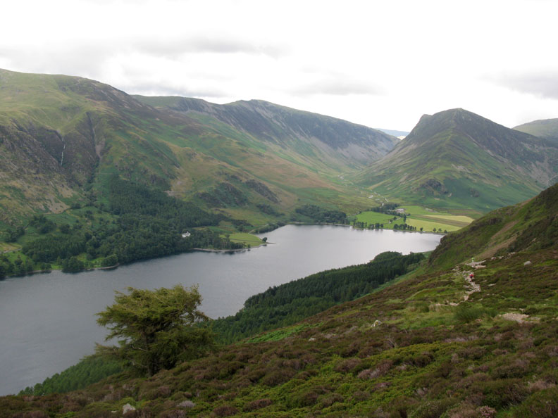
Sunshine is still restricted to Low Fell at the far end of the valley, but each time we look the clouds have rolled back a little more and the sunshine slowly creeps up the Buttermere Valley.
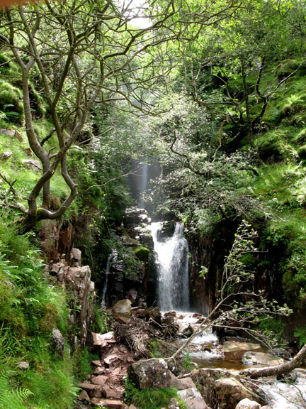
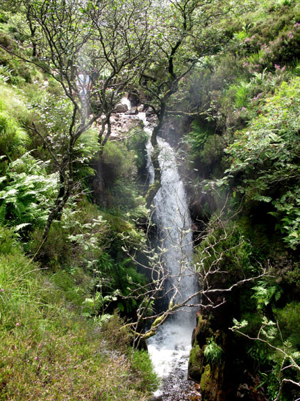
Far Ruddy Gill foot bridge We had planned to climb directly up to Red Pike and then continue onto the ridge, but to do that we needed to find the path up alongside Ruddy Gill. Unfortunately we failed to find the start of this unfrequented route and so continued on toward Scale Force instead.
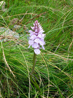
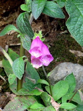
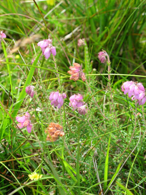
A damp path climbs slowly up the fell side towards the waterfalls. There was a wide variety of plants and flowers as we trekked across.
Looking across, there's green protective fencing half way up Rannerdale Knotts where they are repairing the footpath.
That's better, the sunshine is spreading up the valley and we might be in for a really nice day.
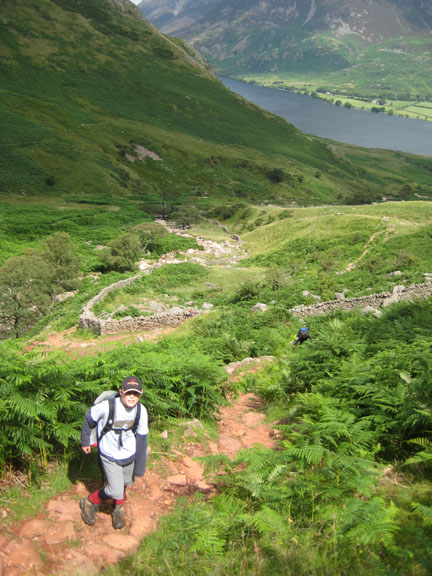
Rather than walk the length of the Scale Beck valley we take the second path to the left in order to reach the lower end of the Lingcomb Edge ridge. Unfortunately the path became distinctly vague at one point and we ended up tramping through rock and heather till we re-establised our route.
Back on track . . .
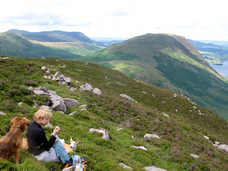
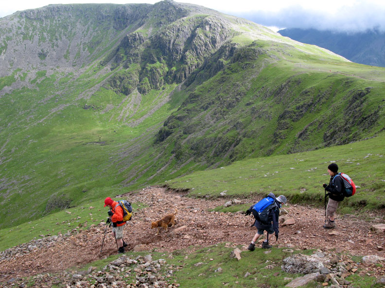
Ahead Red Pike is just in cloud as we make the start of the Edge. We decided to stop just short of the small cairn in order to enjoy a little lunch.
A sheltered spot just below the ridge becomes even warmer as the sunshine reaches us at last.
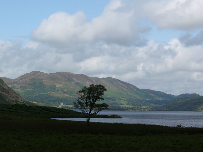
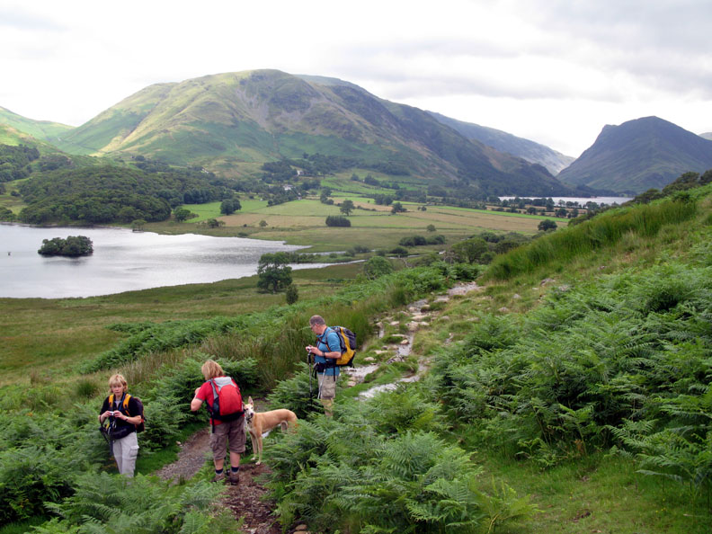
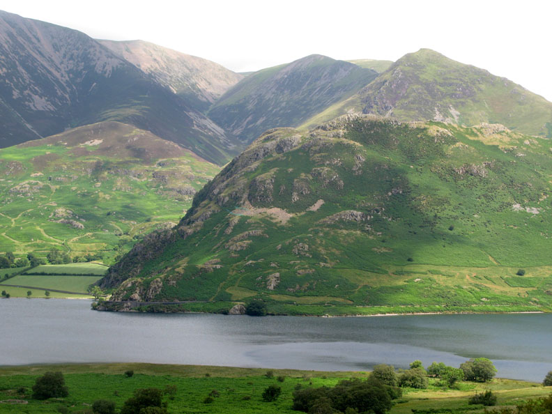
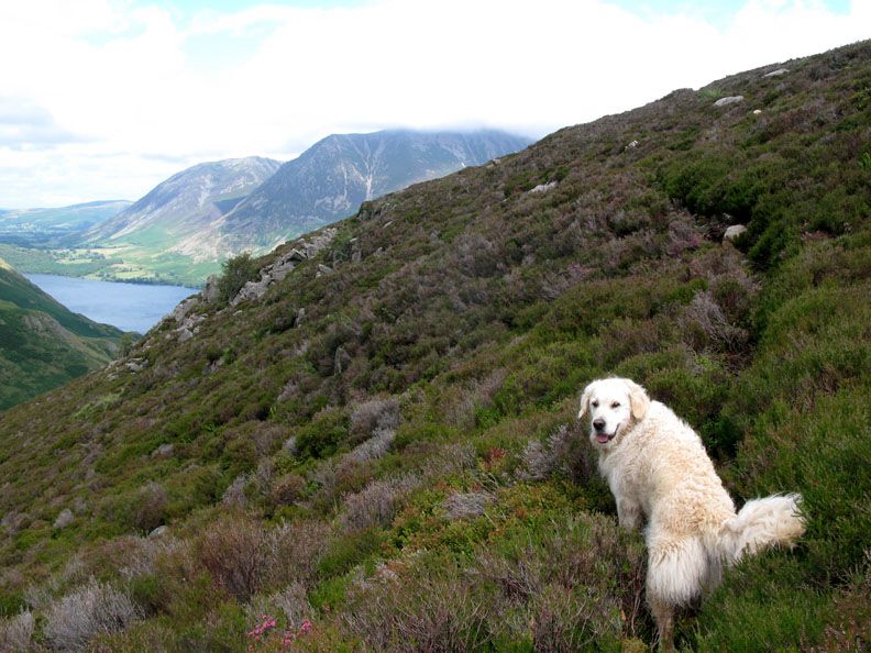
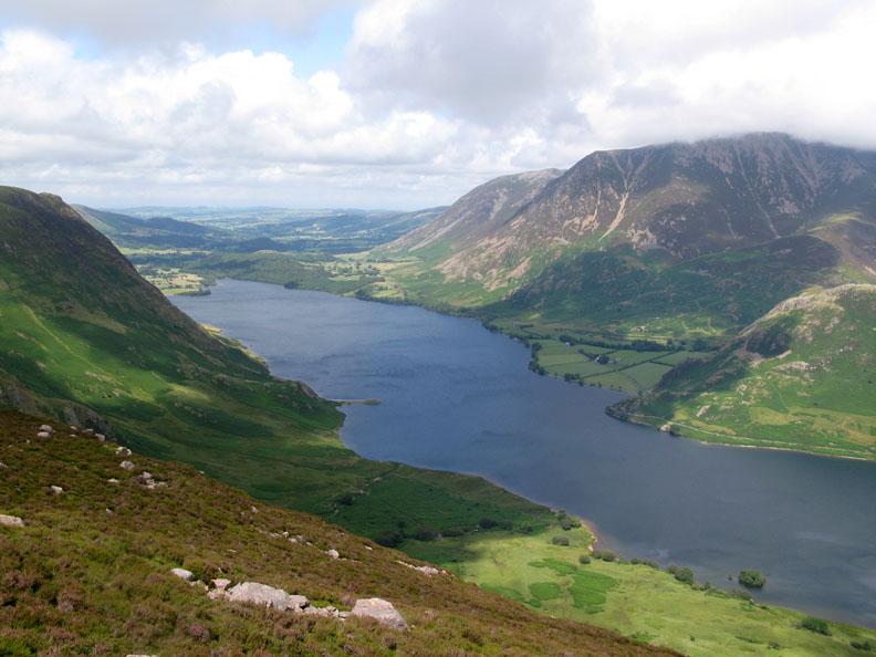
Lunch with a view . . . Crummock Water with Grasmoor holding just a wisp of cloud on it's summit. The breeze was making interesting swirls on the surface of the water as it moves down the lake.
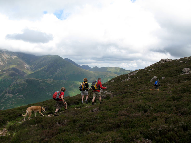
Cold enough for hats and gloves but warm enough for shorts ! We're on Lingcomb Edge now as we continue on towards Red Pike.
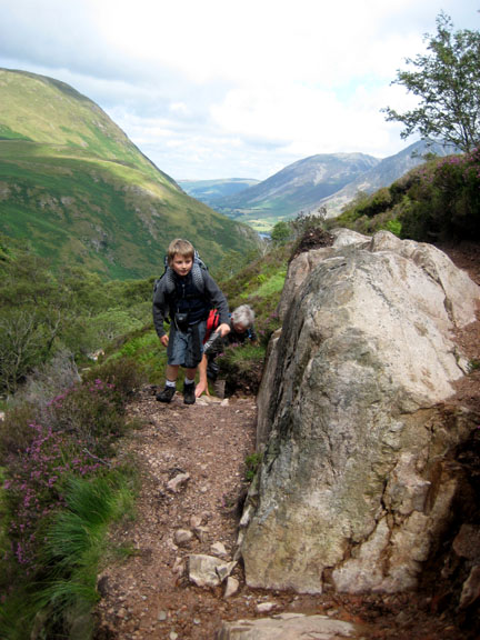
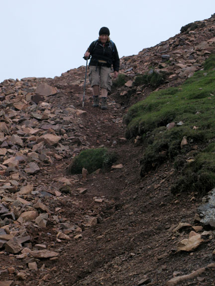
The Edge below us now as we climb the last steep section to the top.
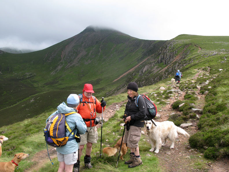
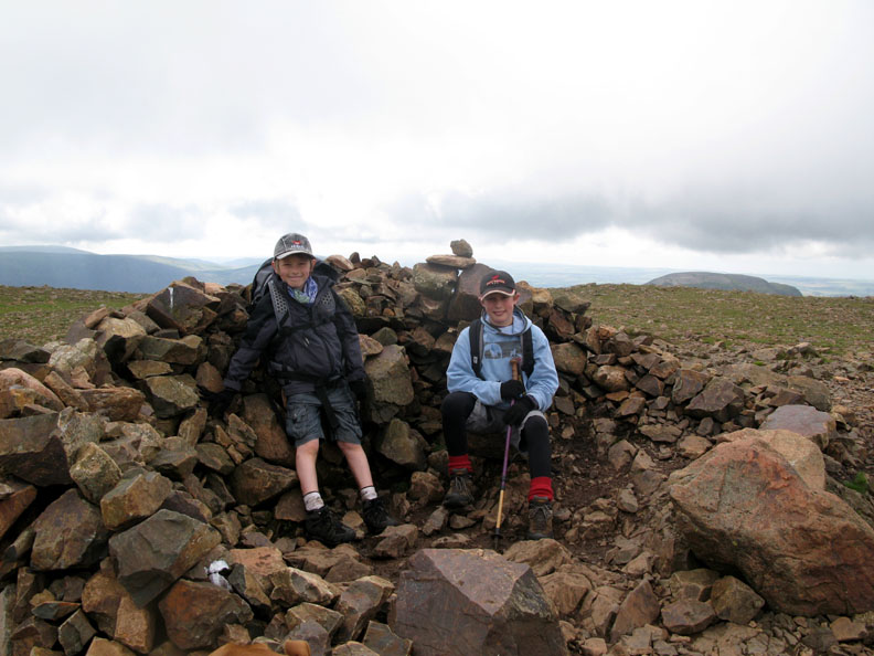
A quick stop in the summit shelter for the boys.
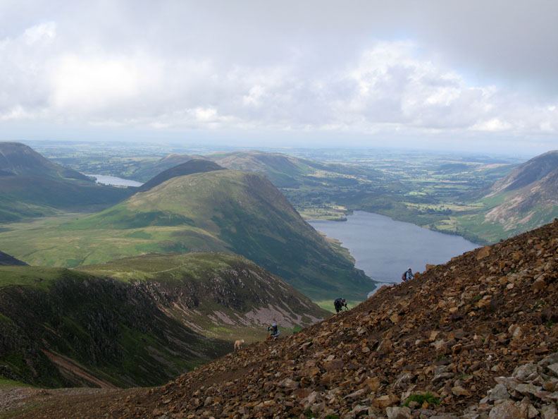
The view of Buttermere . . . with altitude.
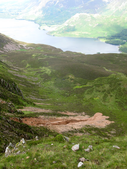
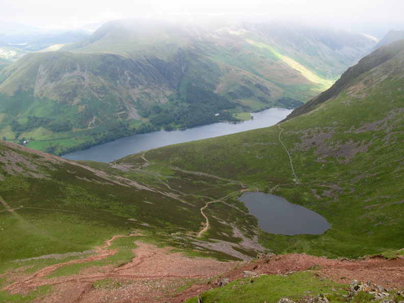
Looking down another red scree slope to Bleaberry Tarn below.
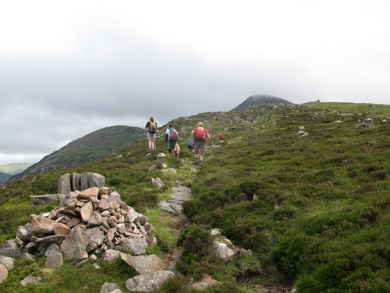
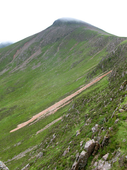
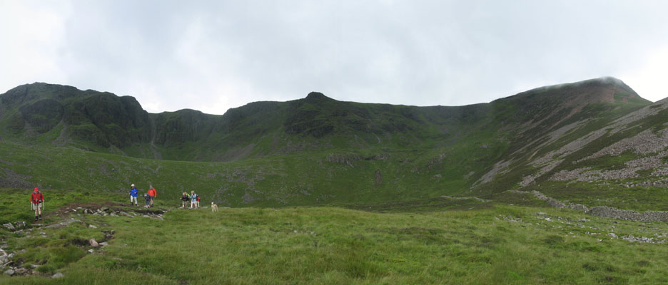
To progress further up the ridge to High Stile would mean several more hours before we could find an alternative route down into the valley so we decide to leave the tops here and start our descent despite the prospect of the rather loose and slippery path ahead of us.
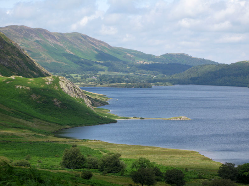
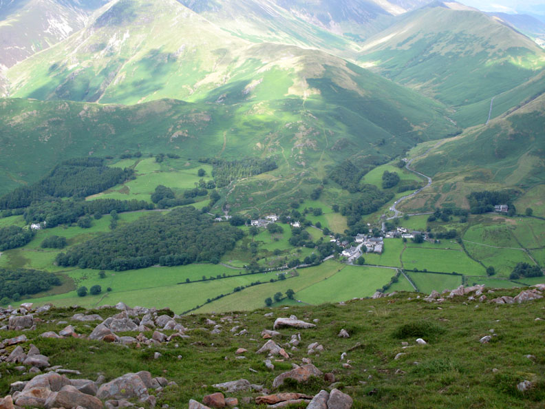
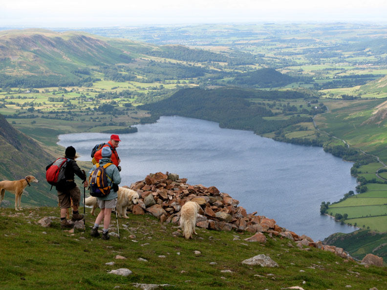
It was a short climb and we were on the summit of Dodd and looking down at the extensive view below. Beyond the lake is Lorton Valley, Cockermouth and the Solway Firth.
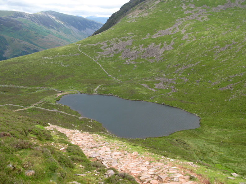
From the col (known as The Saddle) there's a good pitched path leading down to Bleaberry Tarn.
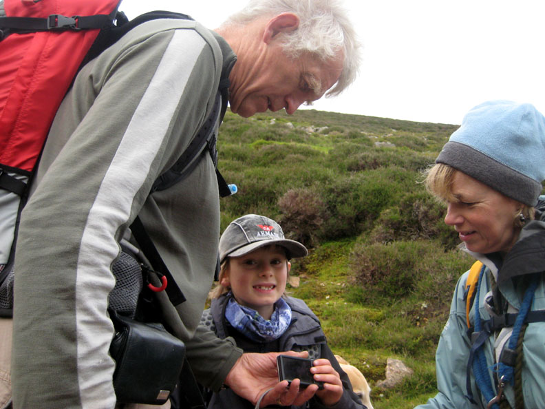
Tom shows us a photo of a large toad he found slightly higher up the slope.
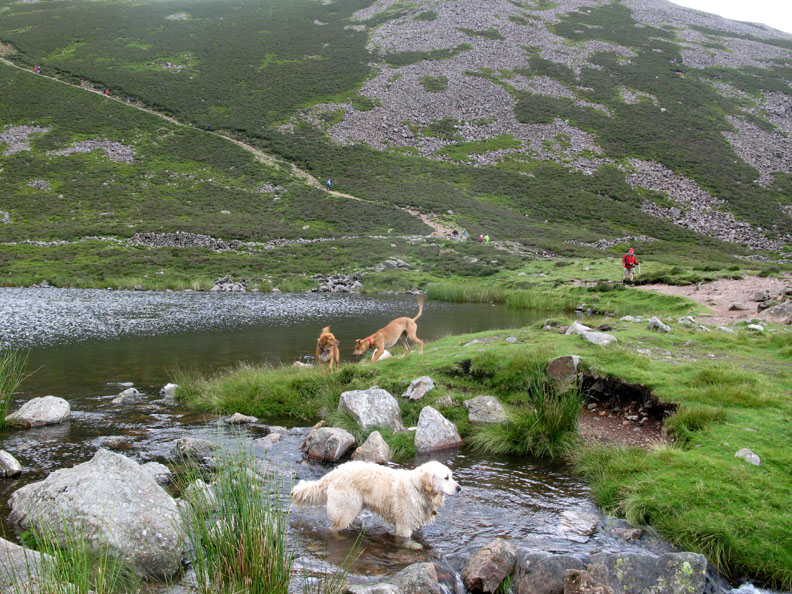
Lakeside, and the dogs enjoy a few moments play at the water's edge.
Bleaberry Comb with Chapel Crags behind with Red Pike to the right . . . the tarn is hidden now as we start our way down. Higher up the crags under High Stile to the left there is another hanging valley but there is no second tarn there, though it looks like there may have been at one time.
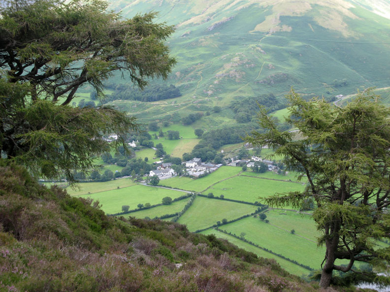
The path heads off towards Fleetwith Pike in the distance but soon it will turn back sharply and drop down towards the village.
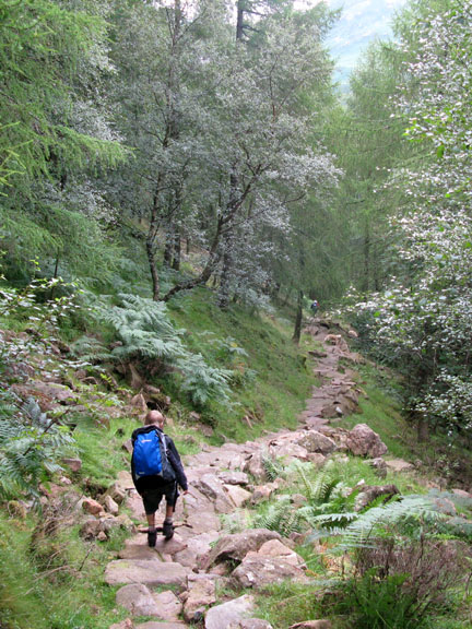
Our destination is getting closer now as we walk down between the Scots Pines.
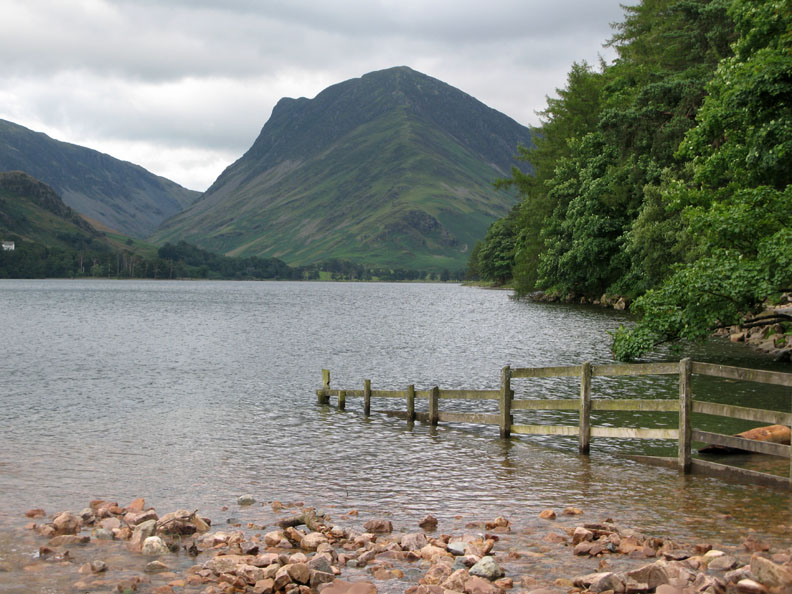
The classic Buttermere view of Fleetwith Pike as we cross Sour Milk Gill and head for the wooden bridge across the river. It's been a good walk and the boys are tired but happy at having made the top of the high fell.
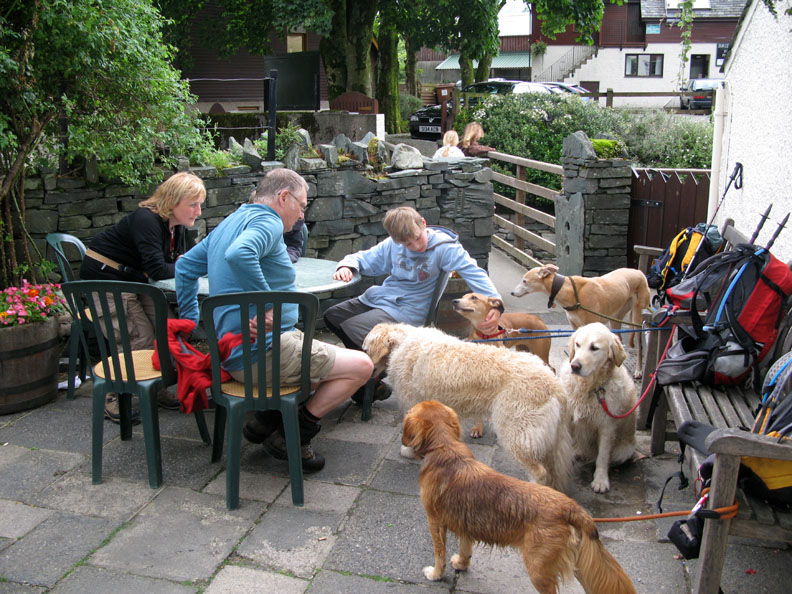
Chance for a little light re-hydration in celebration of our achievement. An extra cuddle for Amber because she's a little tired too ! I hope that bench is secure. - - - o o o - - - |
Technical note: Pictures taken with with Ann's Cannon 75 or my Cannon G7 Digital camera. Resized in Photoshop, and built up on a Dreamweaver web builder. This site best viewed with . . . an extra marshmallow topping on your hot chocolate at the end of the walk. © RmH.2009 # Email me here # or leave me a Guest Book Entry Previous walk - Wednesday 22nd July 2009 Howtown to Patterdale A previous time up here - 13th July 2004 High Stile after a bit of a ducking Next walk - Saturday 25th July 2009 Family and Fangs Brow
|