![]()

Remember: Press F11 for a full
screen view of this page.
|
|
|
Remember: Press F11 for a full
screen view of this page. |
| Date & start time: Sunday 1st February 2009. 10 am start. Location of Event : Maggie's Bridge car park, Loweswater , Cumbria, Uk ( NY 135 210 ) Places visited : High Nook Tarn, Blake Fell, Burnbank Fell, the chair and back via the Coffin Road. Walk details : 5.6 ml, 1700 ft of ascent, 4 hours. Highest point : Blake Fell, 1,878 ft ( 573m) Walked with : Jo, Ann and the dogs, Jodie, Harry and Bethan , meeting up with Edmund half way round. Weather : Overcast clearing to sun, very windy and cool on top. A wintry shower on Burnbank. The elusive Edmund on Blake Fell. |
|
|
Edmund is nearing the completion of his Wainwright 214 total and announced he was walking the Loweswater Fells today. Following slight confusion, we missed him at the start but meet up with him on Blake and complete the rest of the walk in his company.
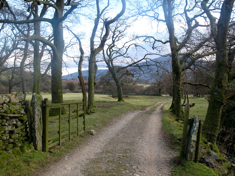
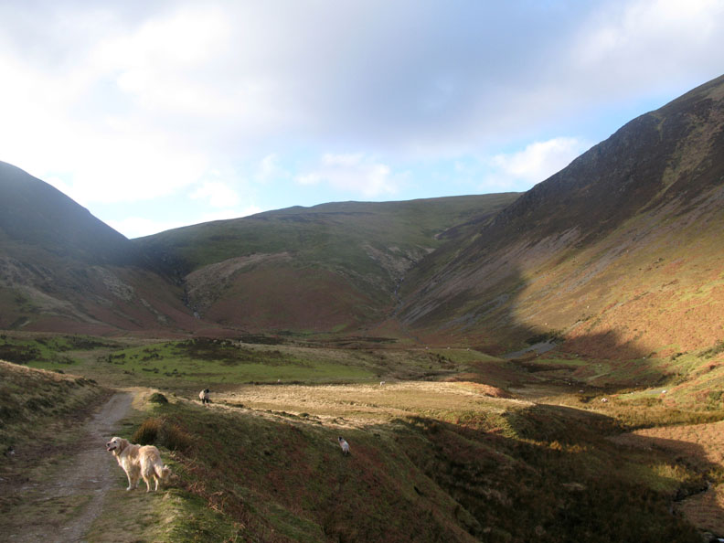
The three of us set off making directly for Blake Fell up through High Nook Farm.
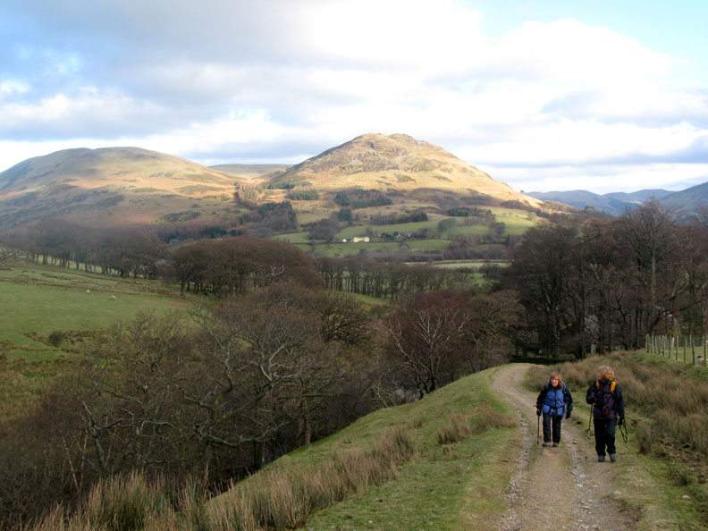
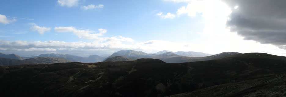
High cloud forms large shadows but it is basically a beautifully fine day.
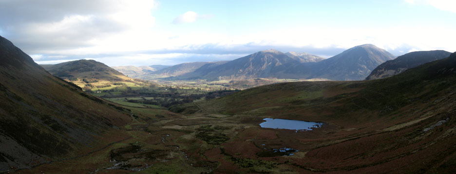
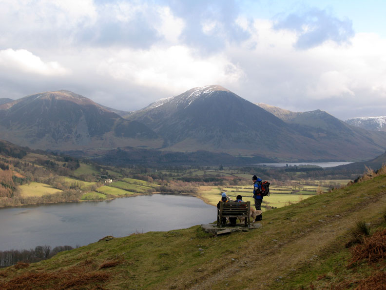
Reaching the fell wall, we look back over the Lorton Valley.
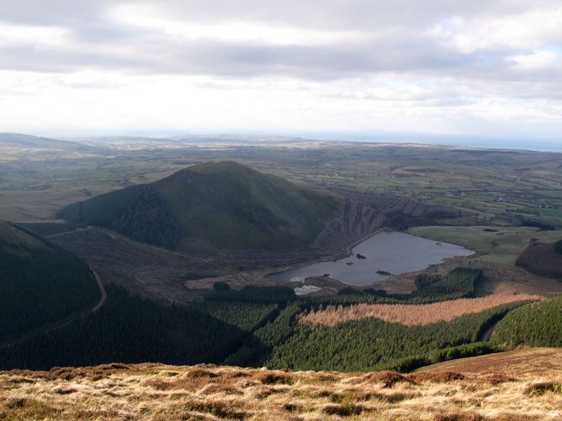
Ahead, but hidden away to the left, is High Nook Tarn. Our plan is to climb the bluff ahead using the feint zig-zag path up to Blake Fell, away up there to the right.
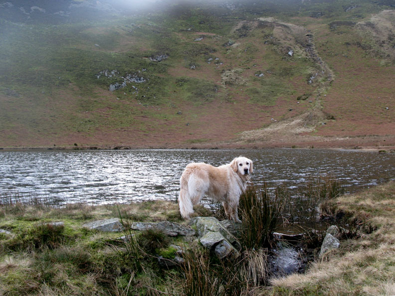
We hadn't necessarily planned to walk this close to the tarn, but obviously Harry has other ideas !
The small outflow sends the stream down to High Nook Beck and ultimately into the River Cocker.
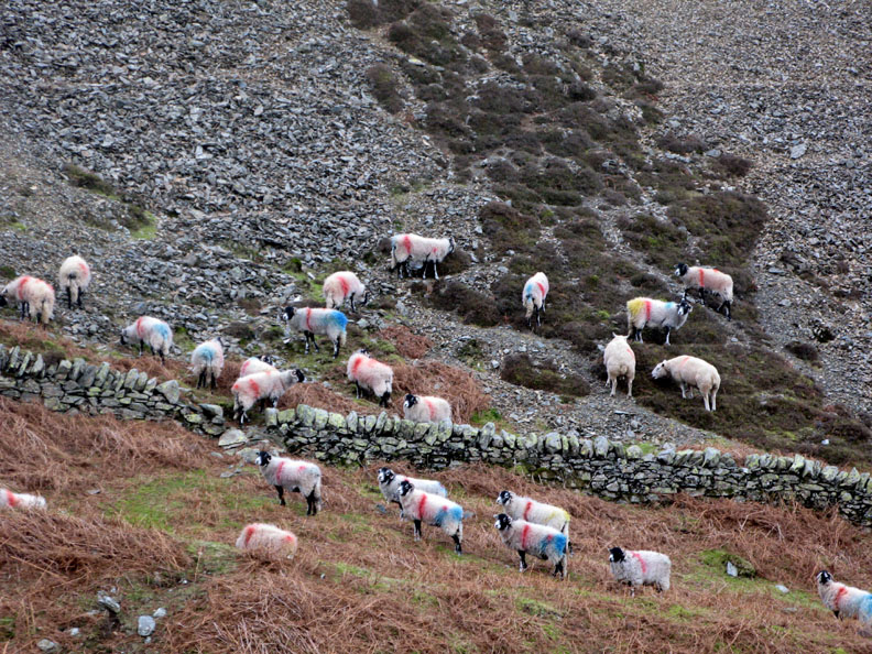
Colourful sheep graze on the poor winter grass.
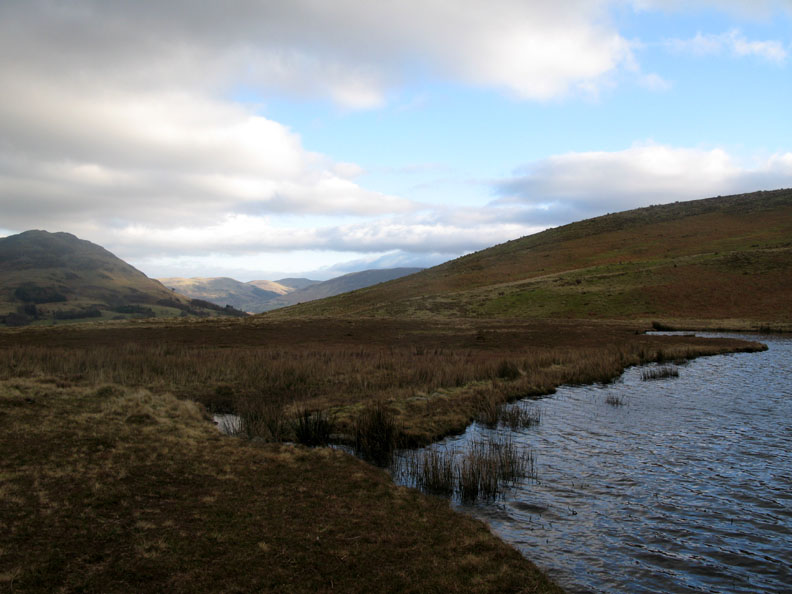
Climbing now, we look down on High Nook Tarn and the Lorton Valley. In front of the main tarn is evidence of a second one, now very much overgrown.
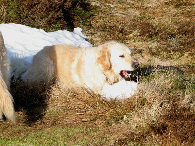
A remnant of snow on the fell holds a magnetic attraction for the dogs and they go over to have a chew on the ice.
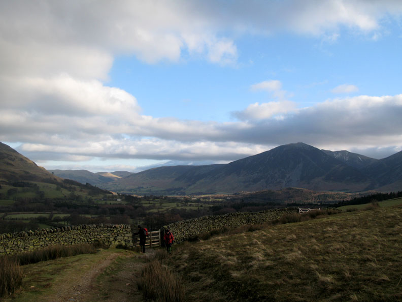
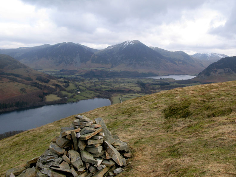
Clear air makes the fells stand out today. To the left is Carling Knott, then Low Fell, distant Skiddaw, Whiteside, Hopegill, Grisedale, Grasmoor, Whiteless and Robinson. In front of Grasmoor is Mellbreak and Black Crag, the start of the ascent to Gavel Fell.
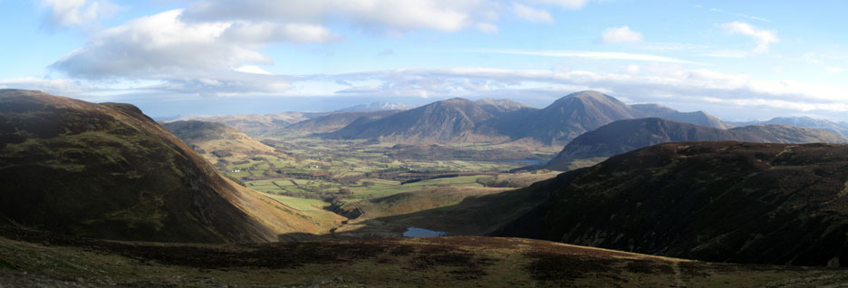
Nearing the ridge and the summit of Blake Fell. Someone has kindly made a new stile out of fence posts and a plank of garden decking. The non-slip surface was excellent.
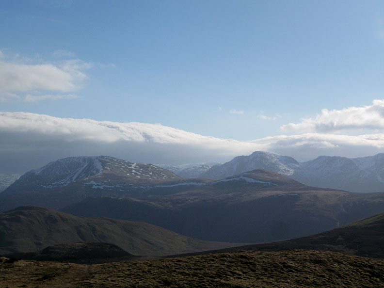
From the stile the panorama improves and it gets brighter too as the thicker cloud rolls away to the west. Fleetwith Pike, the High Stile Ridge and the ridge down to Great Borne now features in our view.
Behind Starling Dodd is the large bulk of Pillar Fell and the snow covered Scafell Pike through the gap.
Dent and Flat Fell (the lighter green one in front) are two Wainwright outliers.
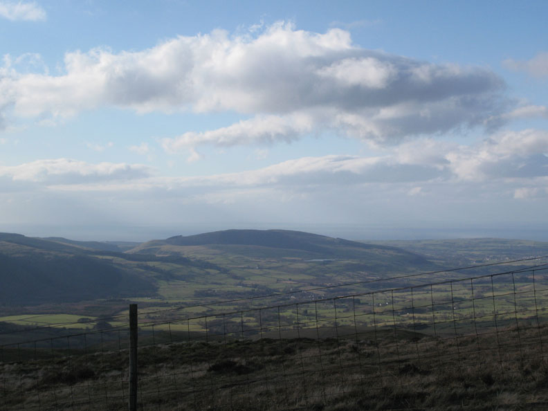
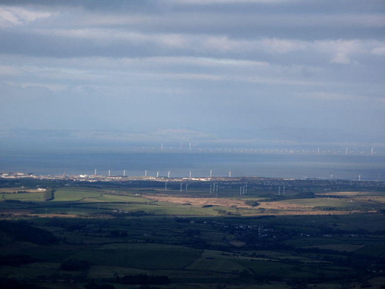
Looking north there's Scotland across the Solway. On the coast are two sets of turbines surrounding Workington, but out to sea we can now see the extent of the Solway offshore wind farm. Each of the white dots will sprout a turbine in due coarse. Best to publish a warning to shipping !
We leave the windy summit and the strong easterly breeze and shelter below the ridge for a spot of lunch. It's a nice spot too, with the view of Cogra Moss and Knock Murton Fell below.
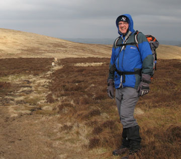
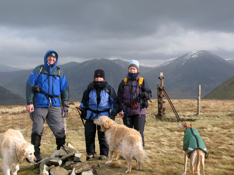
Aah ! the elusive Mr Edmund Harrison. In fact he found us, having been greeted at the summit by the dogs and seen Jo's hat just below the shelter.
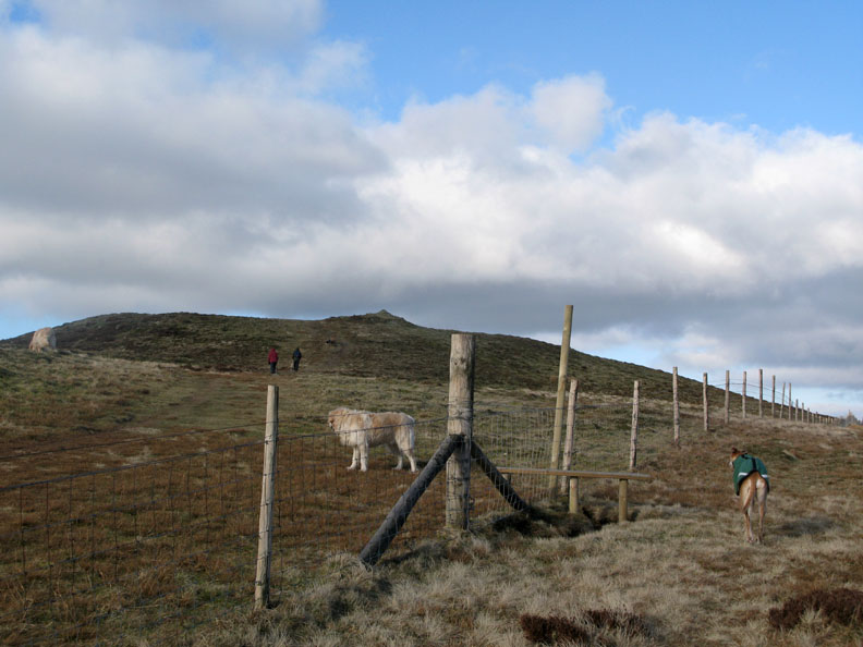
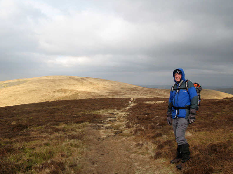
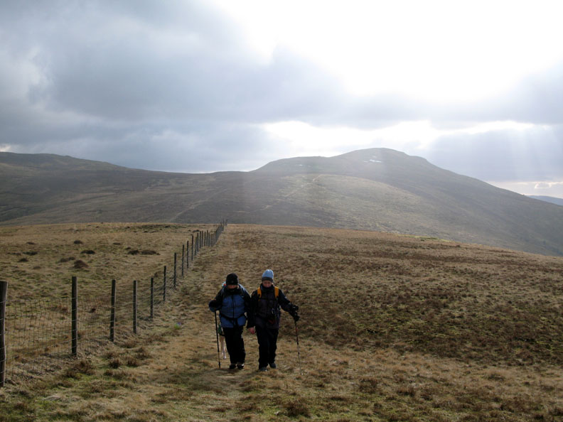
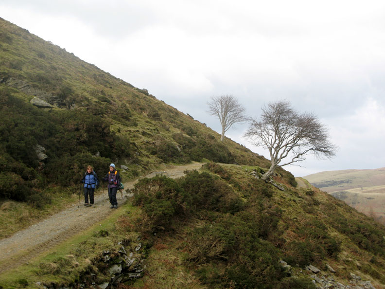
Lunch over, we walk the long grassy ridge down towards Burnbank Fell. The girls are well wrapped up against the cold.
The summit of Burnbank now boast a small cairn. The other reason for the extra layers is that the grey wintery cloud above us has just added some flakes snow to the air.
The only cairn that existed in Wainwright's day was this one overlooking Loweswater itself. It is considerably further down from the summit but offers a great view of the valley.
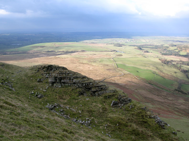
We drop down steeply past this unusual rock outcrop more likely due to an ancient landslide rather than quarrying. Similar example can be found on Robinson Edge and Helm Crag.
Edmund contemplates the steep descent, the returning sunshine adding bright colours to the trees below.
We make our way down the fell side. This part has definitely been quarried, probably for slate.
Jo had never walked the "Coffin Road" before. It traverses high above the lake and joins Loweswater village to Fangs Brow and ultimately to the west coast and St Bees.
Walking back towards High Nook.
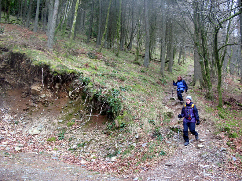
We take a more direct path back and cut down through Holme Woods.
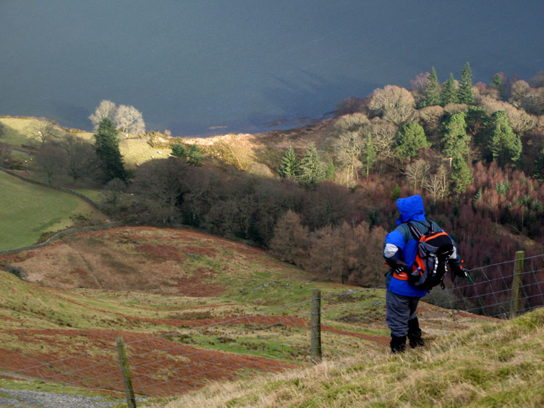
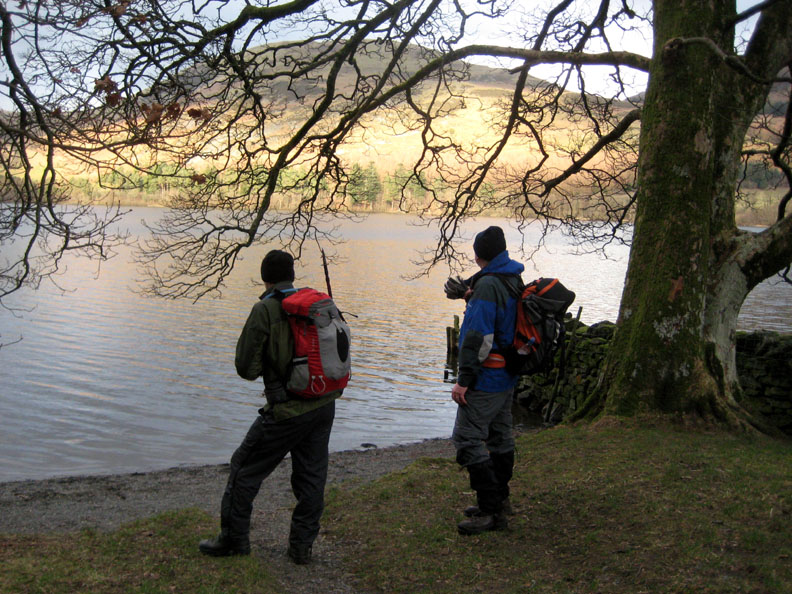
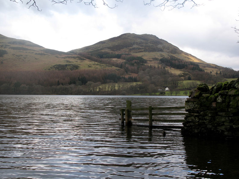
Edmund and myself down at lake level. There are no boats moored up here at this time of year !
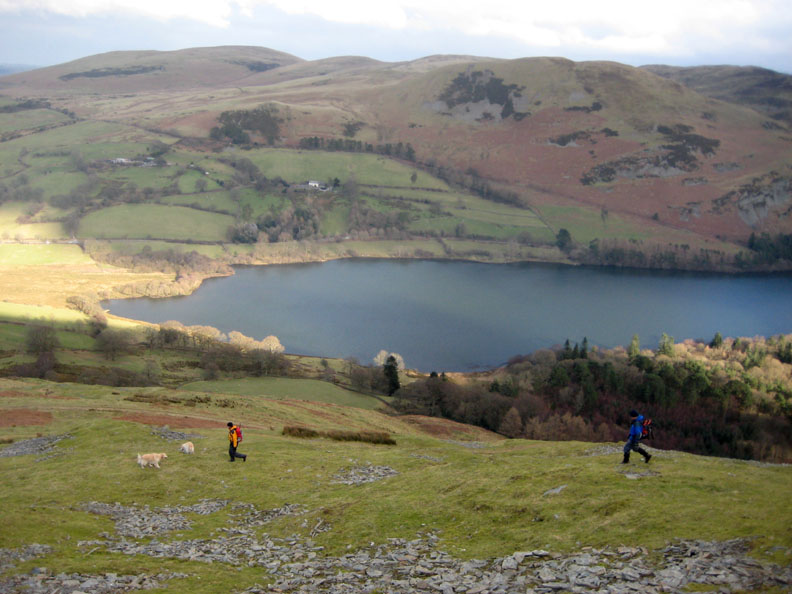
Low Fell and Crabtree cottages across the lake.
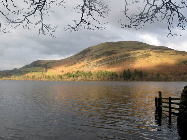
Bright sunshine lighting the lower slopes of Darling Fell.
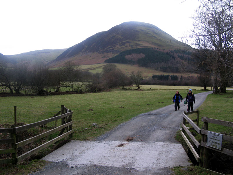
. . . and so back to the car park at Maggie's Bridge at the end of the walk. We set out as three and returned a a party of four, Edmund having completed another four summits today. Only six to go ! - - - o o o - - - |
Technical note: Pictures taken with with my Cannon G7 or Ann's Ixus 75 Digital camera. Resized in Photoshop, and built up on a Dreamweaver web builder. This site best viewed with . . . A warming cup of tea and some Lemon Drizzle cake. © RmH.2009 # Email me here # or leave me a Guest Book Entry Previous walk - 31st January 2009 Sheffield Pike with some snow A previous time up here - 23rd January 2005 Bethan takes a first fell walk on Blake
|