![]()

Remember: Press F11 for a full
screen view of this page.
|
|
|
Remember: Press F11 for a full
screen view of this page. |
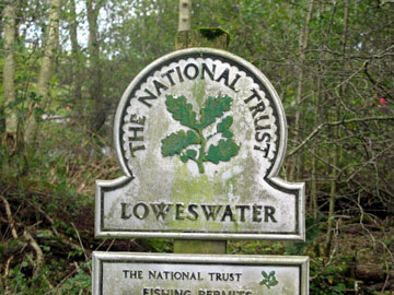
| Date & start time: Friday 24th October 2008. 12.30 pm start Location of Event : Maggie's Bridge car park, Loweswater , Cumbria, Uk ( NY 135 210 ) Places visited : High Nook Tarn, Black Crag, Gavel Fell, Fothergill Head ( hause between Gavel and Blake) High Nook Beck, Holme Woods, Holme Force and back via Watergate. Walk details : 6 ml, 1750 ft of ascent, 4 hours 35 mins. Highest point : Gavel Fell 1,720ft ( 526m) Walked with : Ian, his son Cory, Ann and the dogs, Harry and Bethan. Weather : Fine and dry. Cool breeze on the tops. The Loweswater sign at Maggie's Bridge. |
|
|
Today was the calm after the storm. It's blue skies and warm sunshine so time to get out and enjoy a walk with Ian and Cory who have travelled over from Seascale this morning. It may just be the calm "between the storms" however as tomorrow forecast promises to be very rough again.
I put these two in for those that saw yesterdays pictures and wondered what things were like today. - - - o o o - - - Today the weather and the forecast match again, but this time for the better. We have perfect walking conditions in prospect.
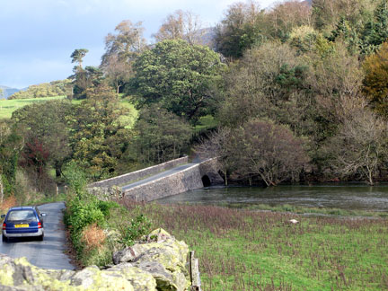
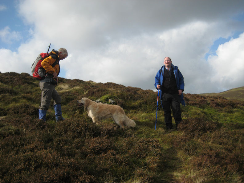
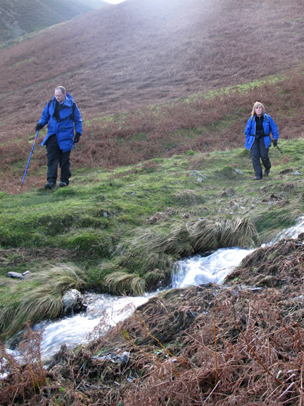
Ian and Cory are on holiday in Seascale and have travelled over to Loweswater to join us for a walk. This is Maggie's Bridge with the Church Beck stream down sufficiently to just fit under the concrete slab bridge.
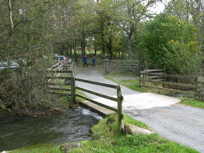
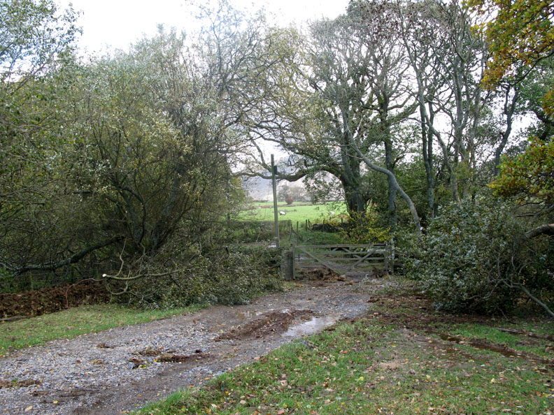
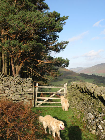
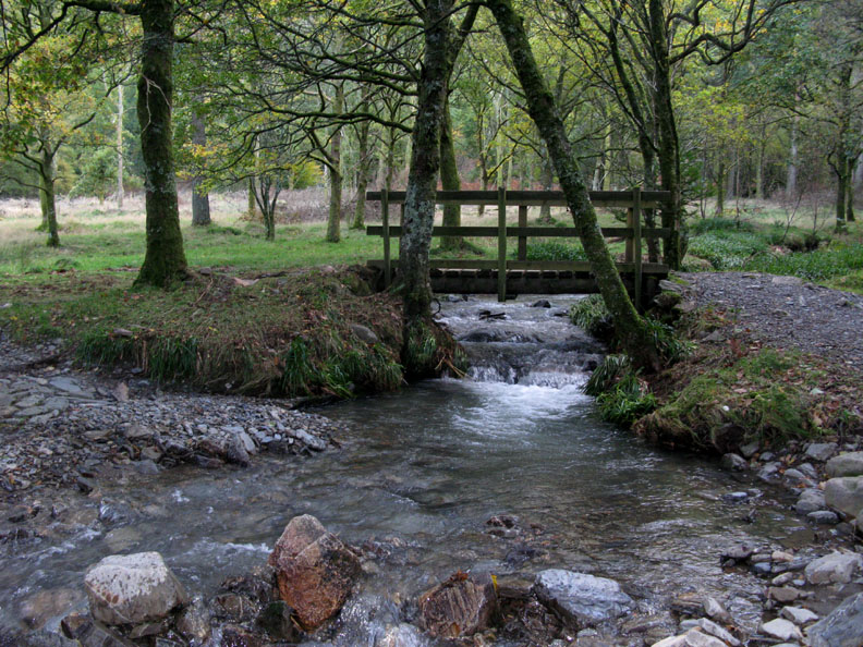
There has been considerable flow of water at the gate to High Nook Farm as flood debris is spread all around the gate. The wind had also brought down a large branch of a tree which had been cleared from the track way.
That's more like it . . . sunshine and blue skies.
This could almost be summer.
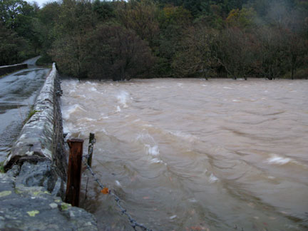
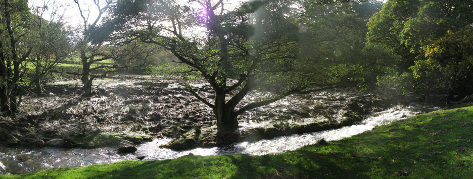
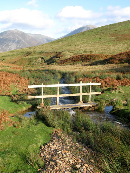
Here's the source of the floodwater. White Oak Beck had cut the corner and flooded straight across the bend, covering the grass with mud and rubble. This forced High Nook Beck to flood onto the meadow beneath my feet and then down the track to the gate we saw earlier.
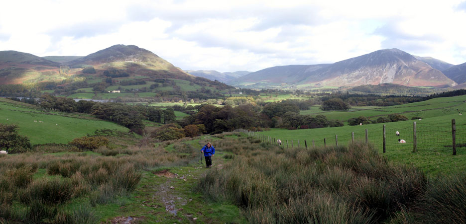
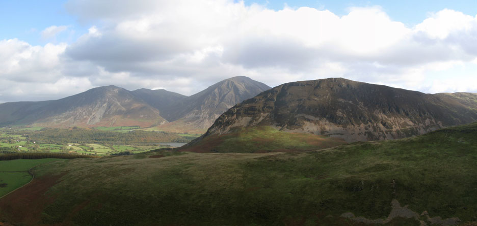
A small panorama of the Lorton Valley with Low Fell on the left and Grasmoor on the right. That's Ann in the middle.
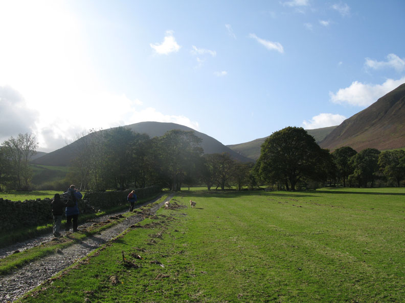
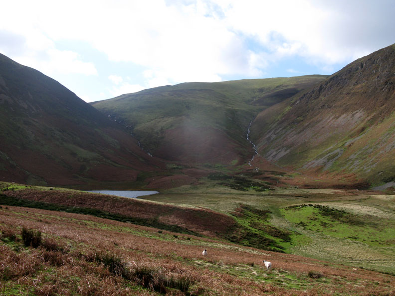
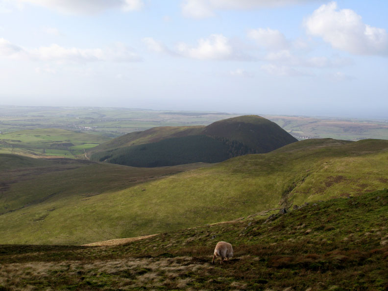
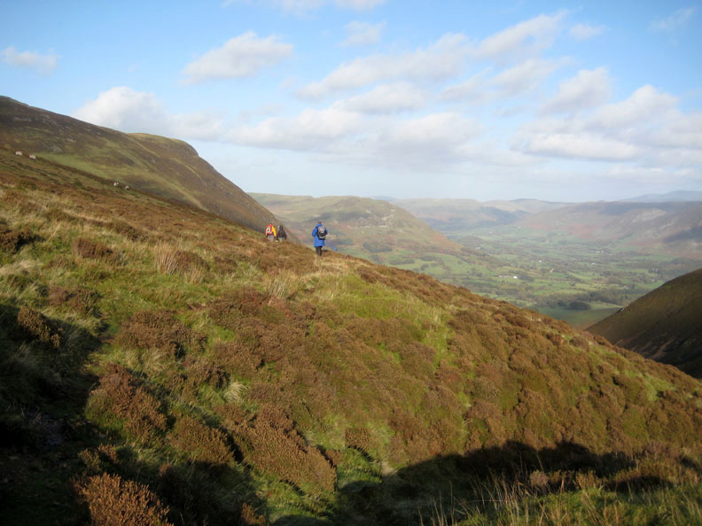
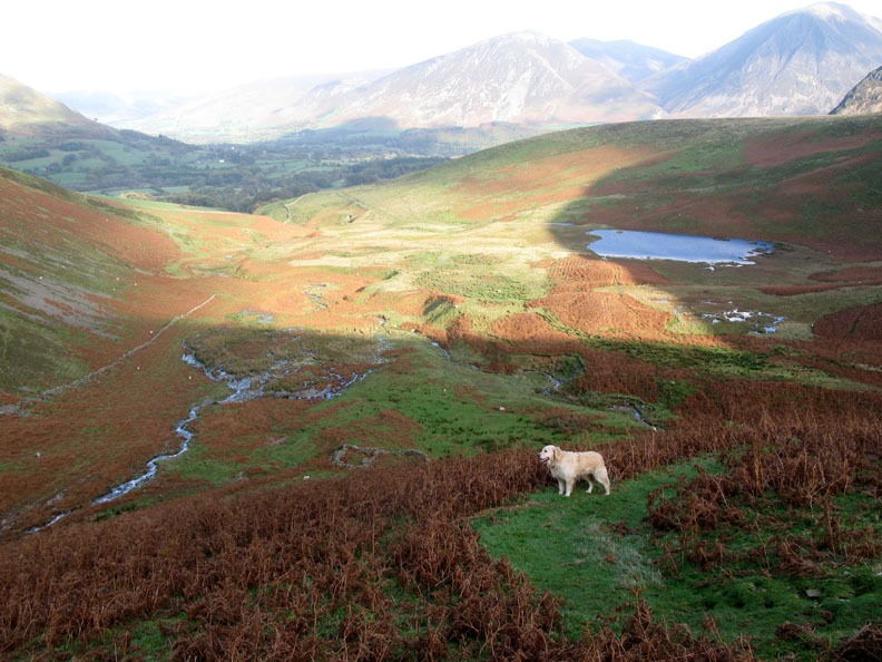
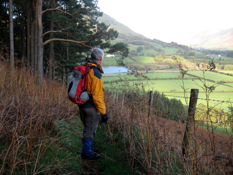
The hanging valley of High Nook and first sight of the small tarn. Our downward route would descend the zig-zags on the spur in the middle of the photo. They can just be seen underneath the sun's flare on the camera lens.
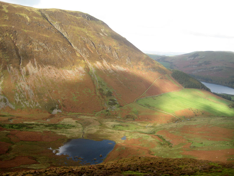
We climbed the fell onto Black Crag. With all the water, High Nook Tarn had developed a second pool just downhill to the right.
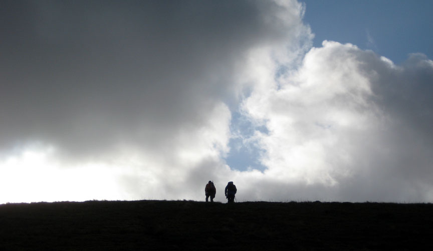
Up on the ridge, Ann and Ian look across to the distant hills.
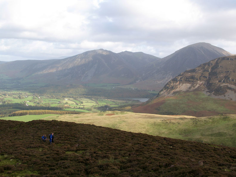
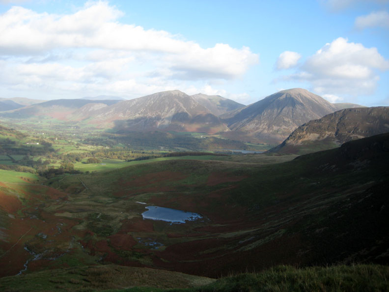
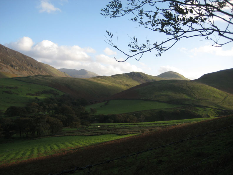
A wider view encompassing Whiteside, Hopegill Head, Grasmoor and almost the full length of Mellbreak
The wind is cooler and stronger up here so time to add a layer.
Ian and I leave Ann behind so she can take pictures of clouds !
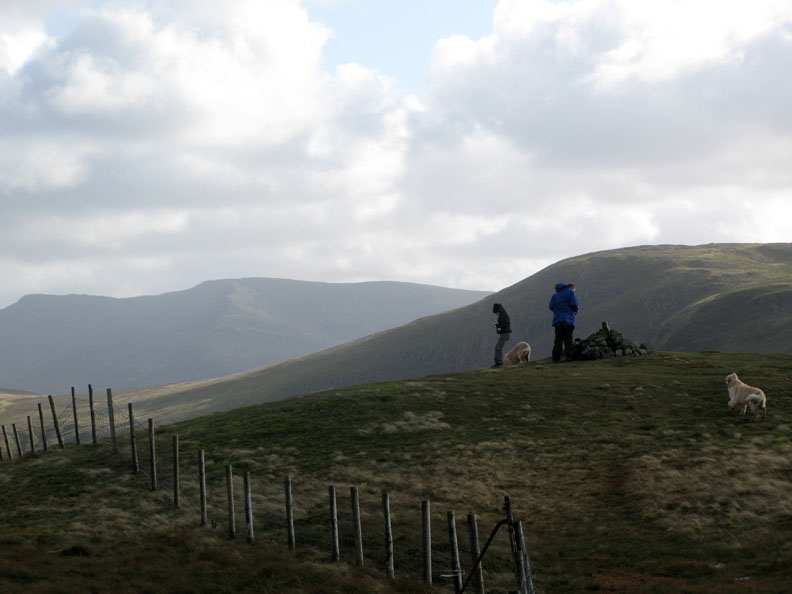
The fence and summit cairn of Gavel Fell. Behind are Pillar Fell, Steeple lost below the ridge of Scoat Fell with Great Borne to the right.
Clear to the north west too. That's Knock Murton and the Solway coastal plain.
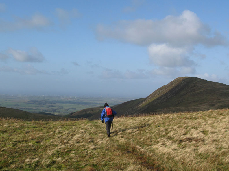
Distant wind farms behind Workington, as Ann sets off towards Blake Fell.
A slight cold shiver was felt as the sun passes behind a cloud and the apparent temperature drops several degrees.
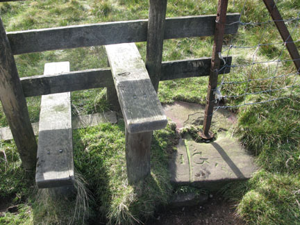
North west from the stile took us back towards High Nook and the Lorton Valley
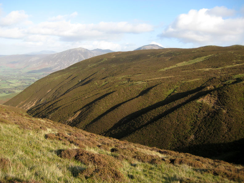
There's probably a technical name for these run-off channels on the side of Black Crag spur. They drain down to form the headwaters of the main beck.
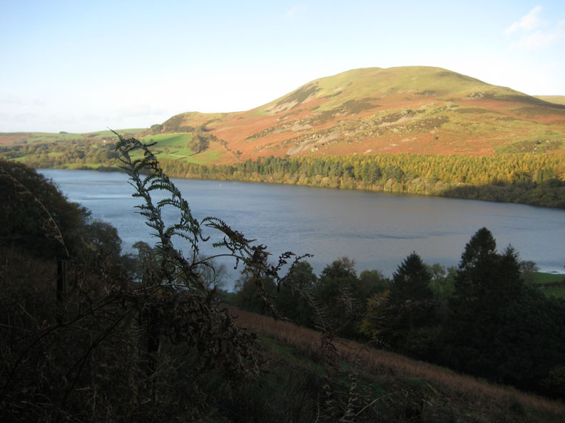
Crags on the side of Carling Knott catch the afternoon sun.
Our outward view returns as we reach the top of the zig-zags.
Half way down and Harry waits on one of the bends for us to catch up.
Perhaps I'm a little overdressed now we are out of the wind, but the gentle descent has done little to warm us after the cold summit breezes.
My view was across to Red Pike, across Hen Comb and the intervening valleys.
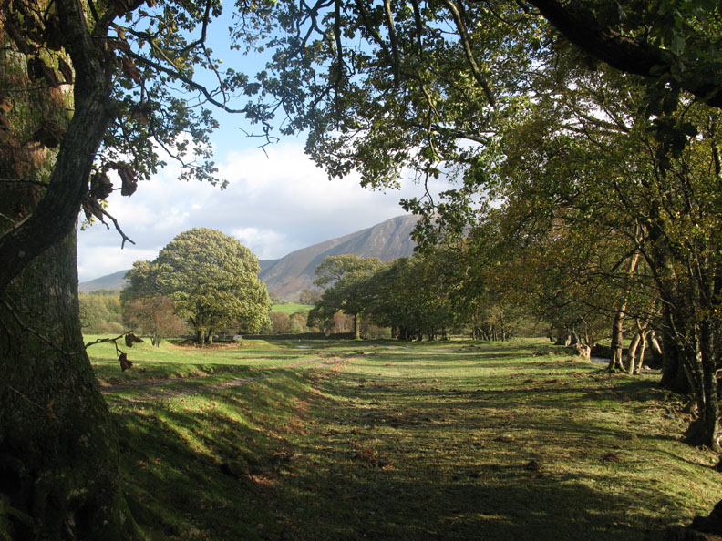
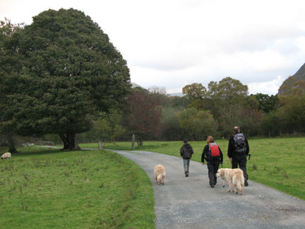
A more unusual view of Loweswater as we round the bend above Watergate Farm.
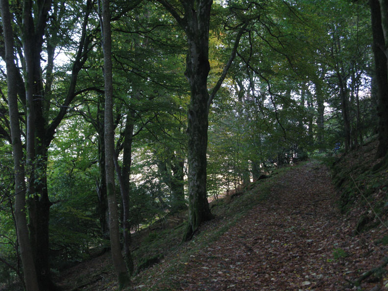
Beech trees, their leaves scattered over the forest track.
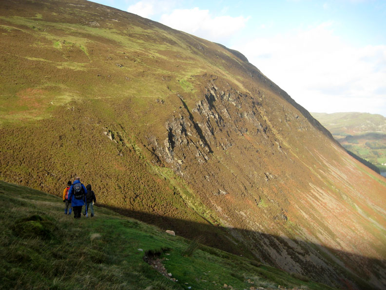
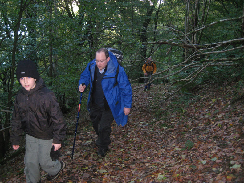
A short climb was needed to take us back up to the waterfall. Cory and Ian have just negotiated the fallen tree across the path.
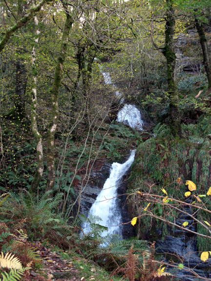
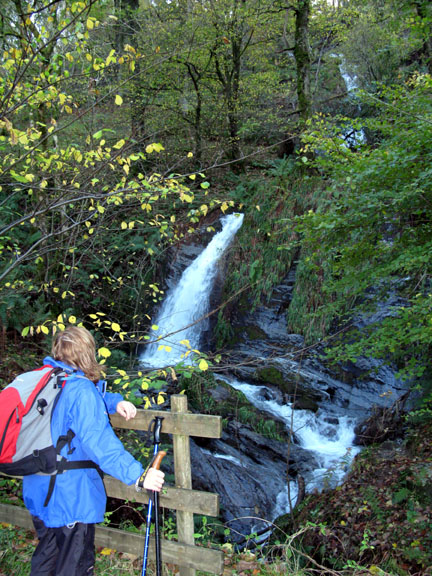
The force of water has deepened the beck and scoured away the cobbled roadway. Even the bigger stones have been washed away.
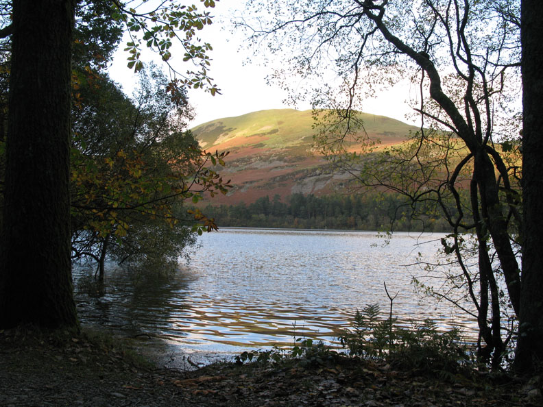
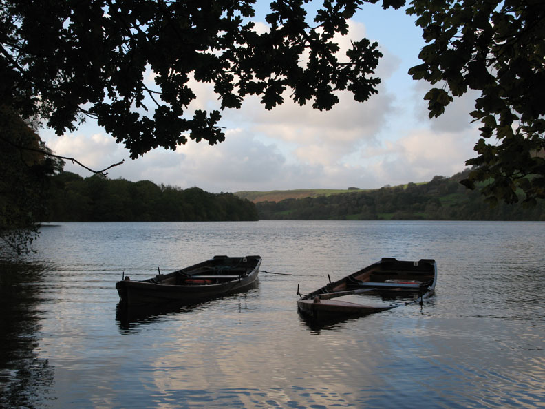
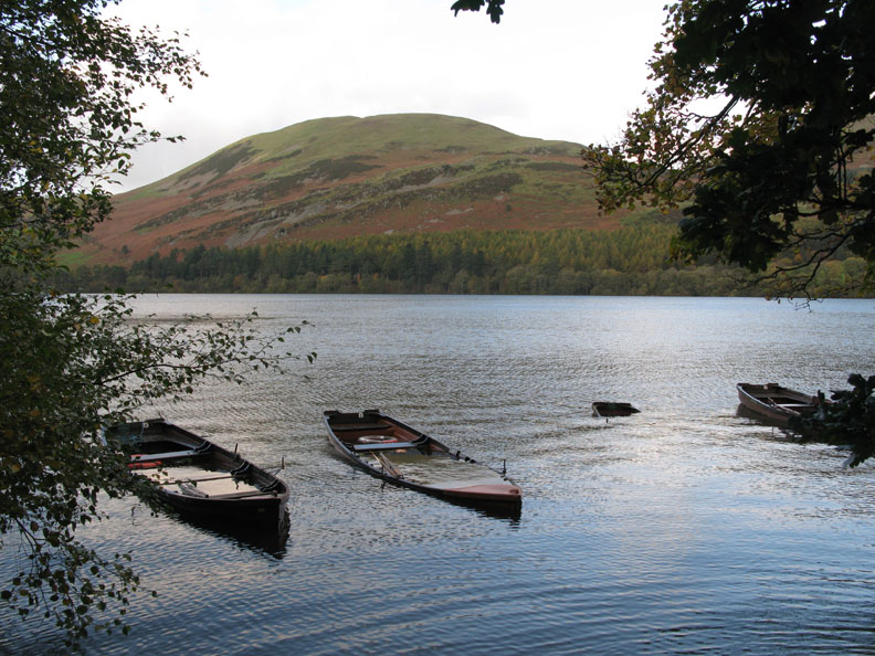
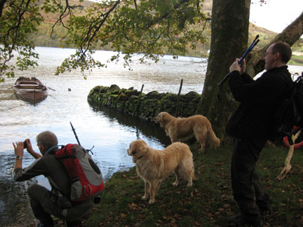
High tide at Loweswater lakeside.
The normally tranquil view of the rowing boats bobbing gently at their moorings has a slightly different look today.
Rain water and waves have flooded the boats, one of which has almost sunk at it's moorings.
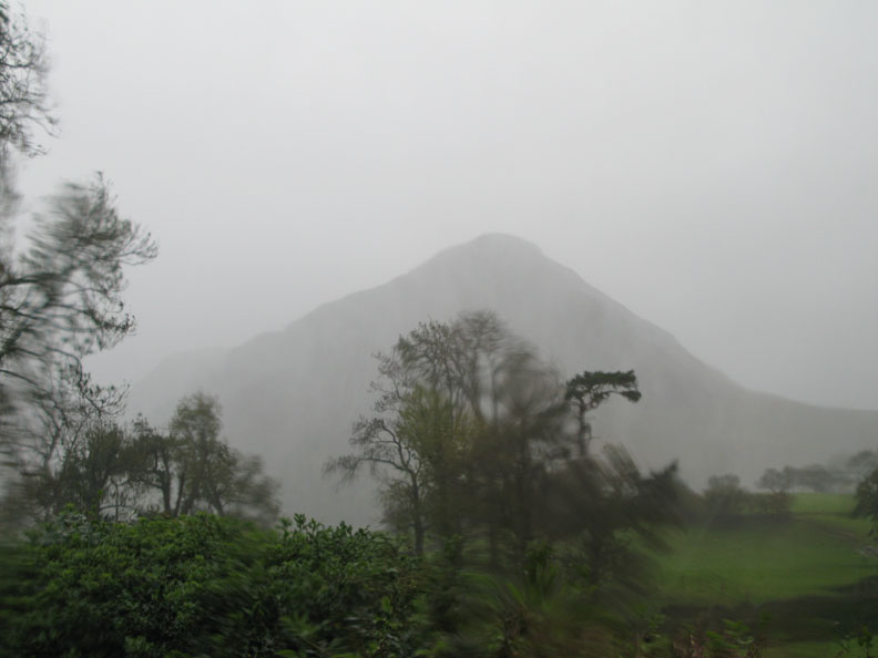
- - - o o o - - - I mentioned the calm between the storms . . . Today we're indoors and I have chance to post these photos . . . because this is the current view outside . . .
Gale force winds and heavy driving rain have started once again. [Photo taken from inside the house]
- - - o o o - - - |
Technical note: Pictures taken with with my Cannon G7 or Ann's Ixus 75 Digital cameras. Resized in Photoshop, and built up on a Dreamweaver web builder. This site best viewed with . . . a cup of tea, hot scones and a nice log fire . . . definitely ! © RmH.2008 # Email me direct # My Guest book (front page)
|