![]()

Remember: Press F11 for a full
screen view of this page.
|
|
|
Remember: Press F11 for a full
screen view of this page. |
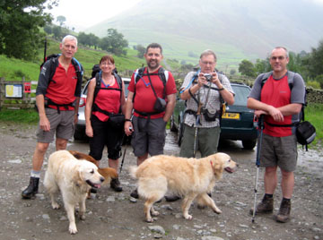
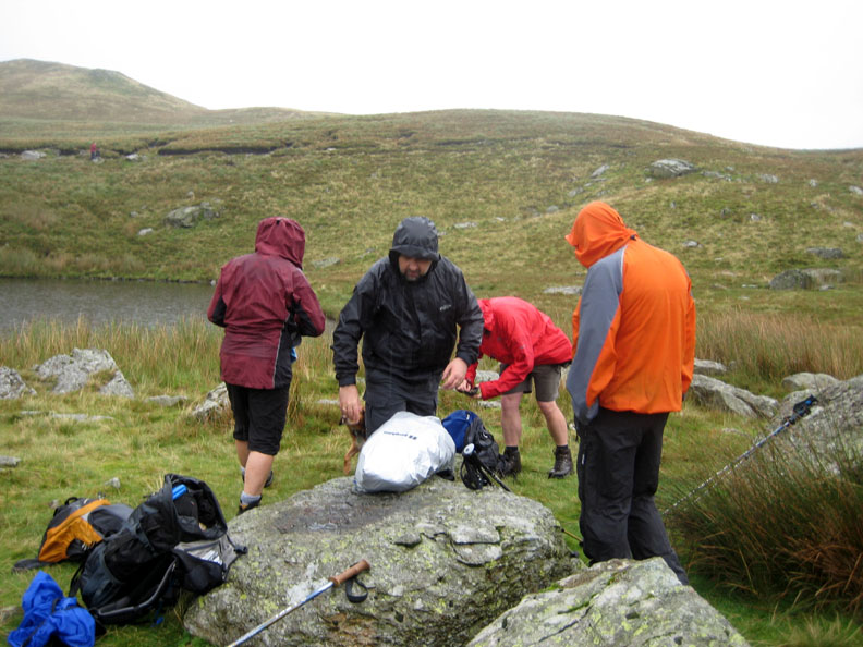
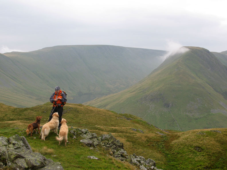
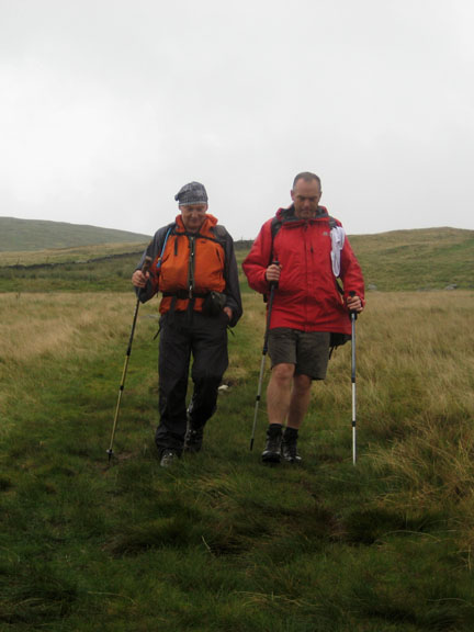
| Date & Time: Sunday 31st August 2008. 11.10 am start. Location of Start : The top car park, Hartsop Village, Cumbria, Uk. ( NY 410 130 ) Places visited : Boredale Hause, Angle Tarn Pikes, Angle Tarn, Brock Crags, Hayeswater, Hartsop. Walk details : 7.5 mls, 2100 ft of ascent, 5 hrs 30 mins including lunch. Highest point : Angle Tarn Pikes 1,857ft ( 567m)Walked with : Jill, Nigel, John, David, Ann and the dogs, Polly, Harry and Bethan. Weather : Grey weather with occasional light rain showers which dampened the clothing, not the spirits. The Red Team . . . photo by Ann, colours by coincidence. |
|
|
Jill and Nigel are up in the Lakes this week and really wanted to walk. The weather is still poor but the forecast did promise slightly less rain. A mid level walk would stand the best chance of staying out of the cloud, so we arranged to meet at Hartsop Village for a round trip to Angle Tarn Pikes.
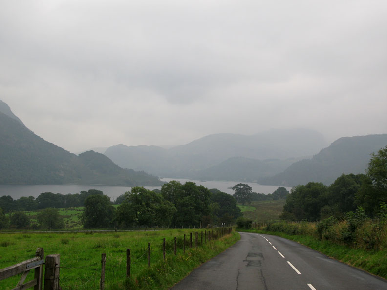
The view of Ullswater from the Dockray Road . . . This sums up the conditions pretty well. The forecast was for low cloud that would readily turn to rain on occasions, clearing slightly but with the chance of thunder in the east of the Park. Implication . . . there may be the odd dry spell . . . great !
Hey . . . it's an occasional dry spell as we meet up with the others. Jill and Nigel are staying in Ambleside, John over from St John's in the Vale, and David had travelled over with us from Loweswater.
Ann passes the Spinning Gallery Cottage in the village.
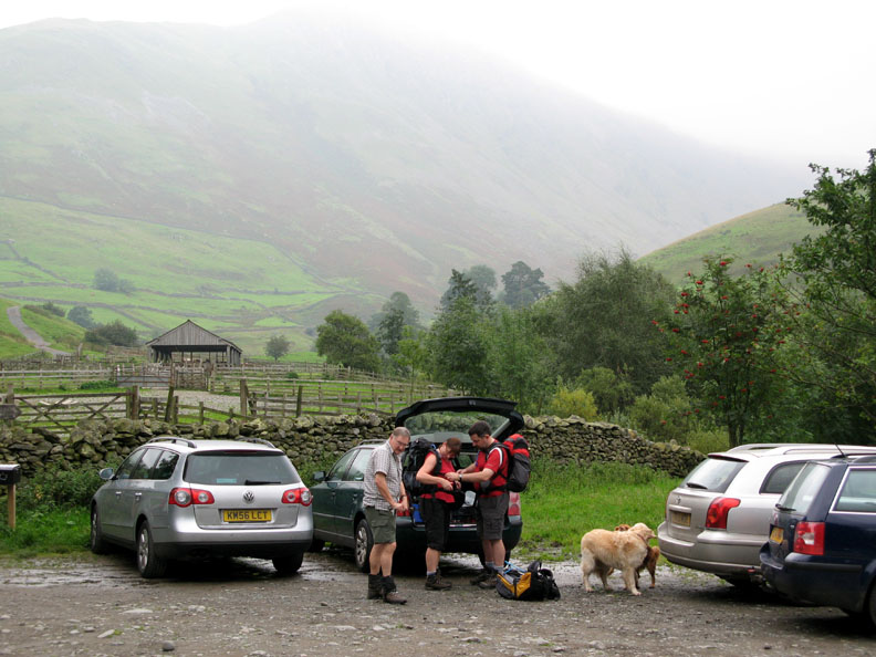
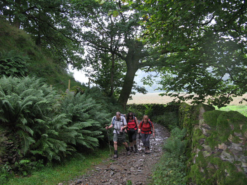
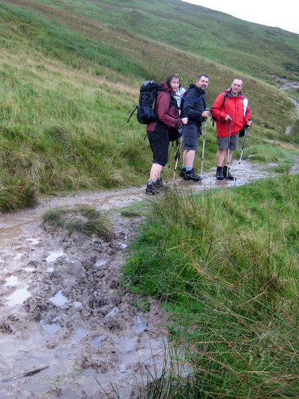
John with Polly, David and Ann. We walked down virtually to the main road, along the valley, then clockwise up to Boredale Hause. Doing it this way round allowed us an easy and a direct return to the cars at the end of the walk.
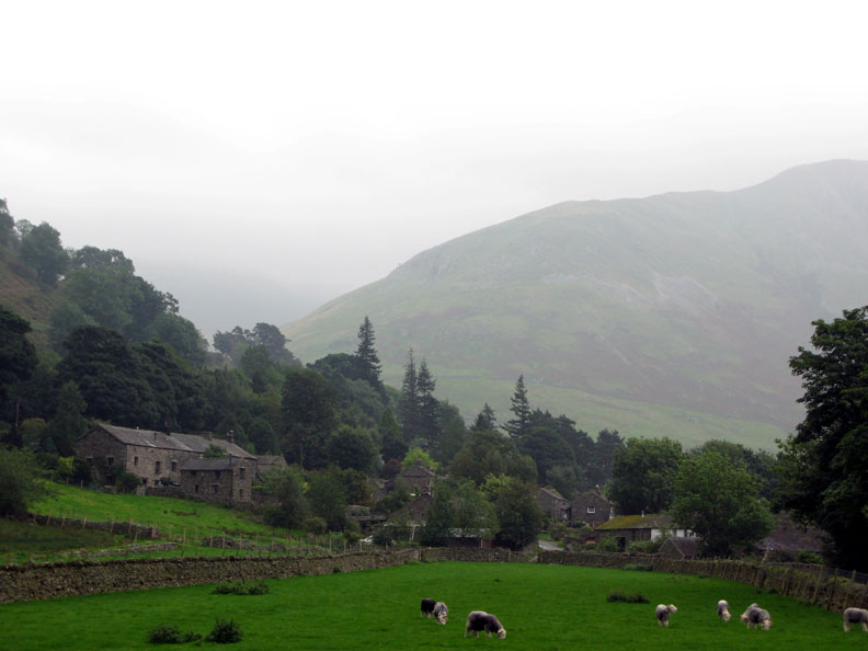
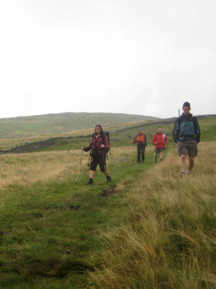
We follow the minor valley road north in the direction of Beckstones, leaving the delightful village of Hartsop behind.
The bridle way continues where the road ends.
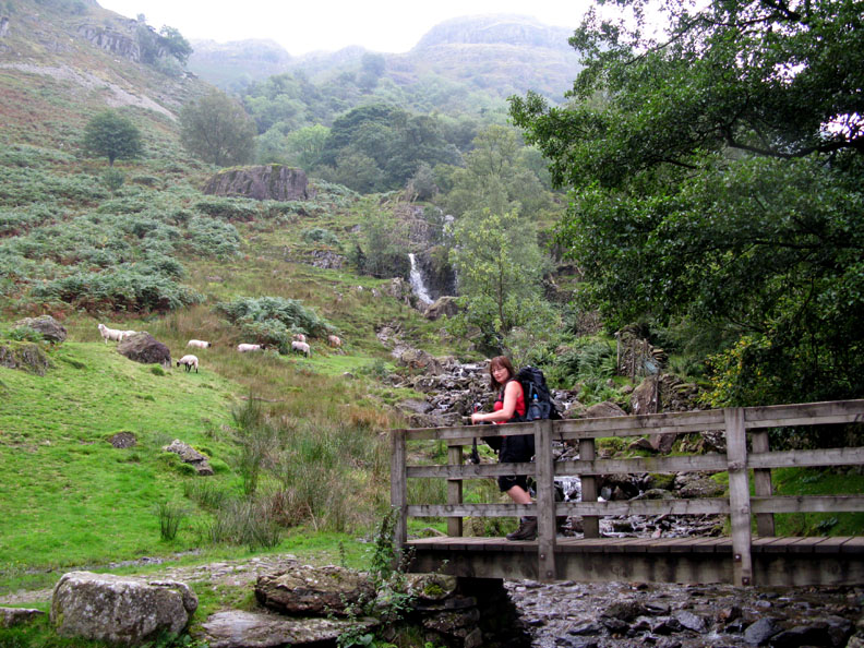
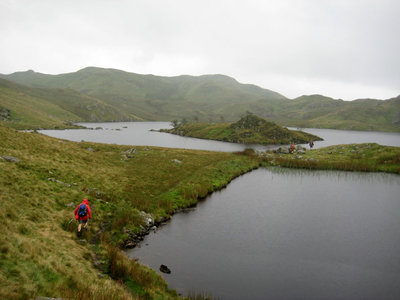
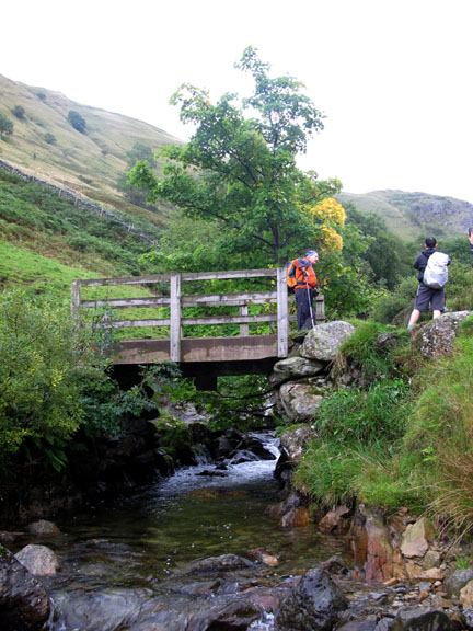
Jill crosses the Angle Tarn Beck bridge. High above is Patterdale's Angle Tarn, one of the prettiest tarns in the Lake District. I wonder if we'll see it's beauty today ?
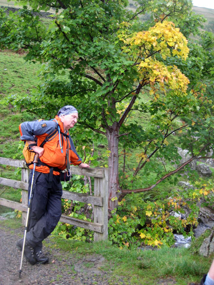
Just before Beckstones we strike up right towards Boredale Hause.
The prominent track appears to be the course of the Hayeswater water pipeline carrying water in the direction of Penrith. Several Water Board manhole covers, markers and general ironwork were evident on the way up.
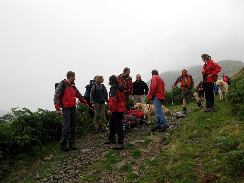
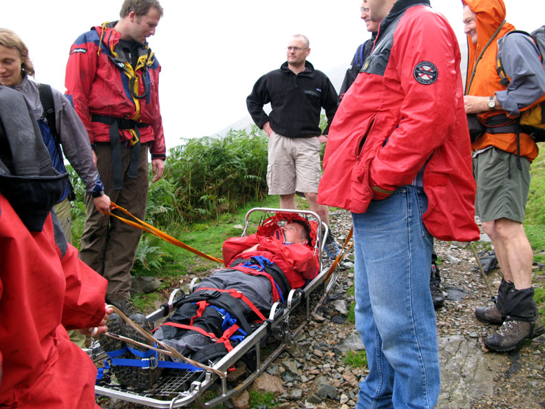
On the way down . . . the Patterdale Mountain Rescue team, out on a practice rescue. Bethan rushes over to check the 'casualty' was still ok.
They were out on an introductory practice for new members who had recently applied to join the group. Today's casualty seemed fine, "if a bit tied up at the present and unable to hand out any dog treats" was the verdict I think ! Click here or on the picture above to link to the Patterdale Mountain Rescue Website
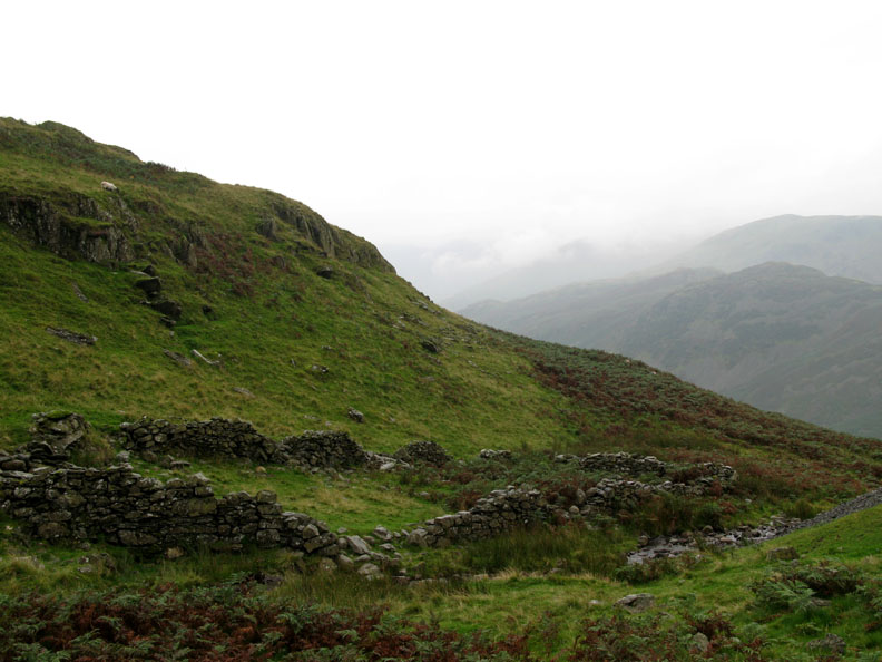
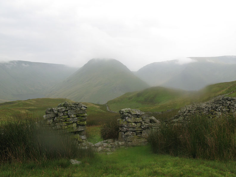
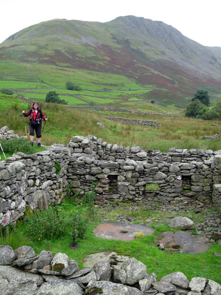
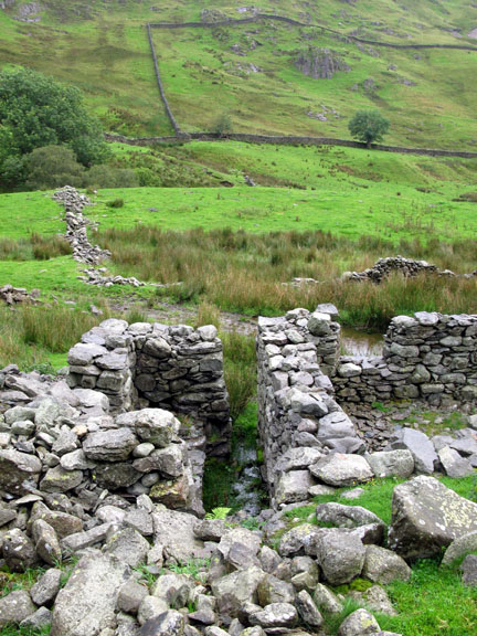
The ruin at Boredale Hause. Some say it was a church, but it looks more like a sheepfold to me.
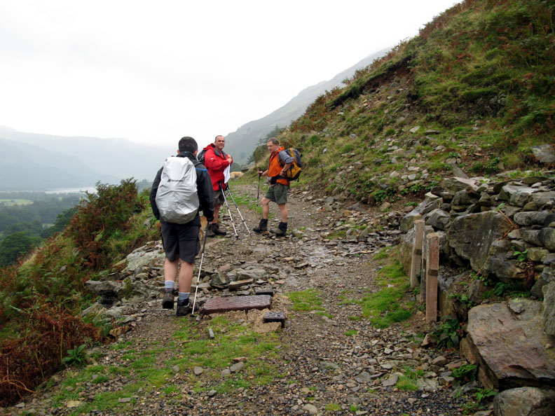
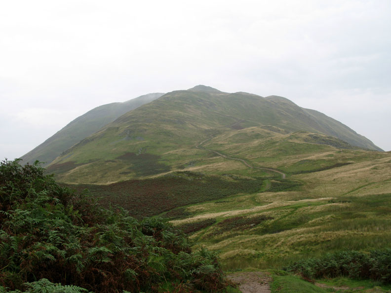
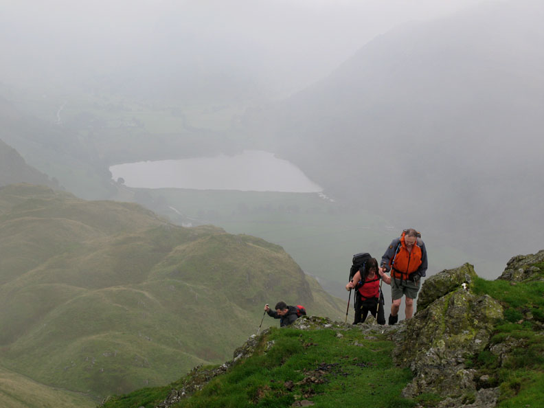
The new path up Place Fell, machine made on it's lower section, pitched stone higher up. We turn south now and head for our first summit, Angle Tarn Pikes.
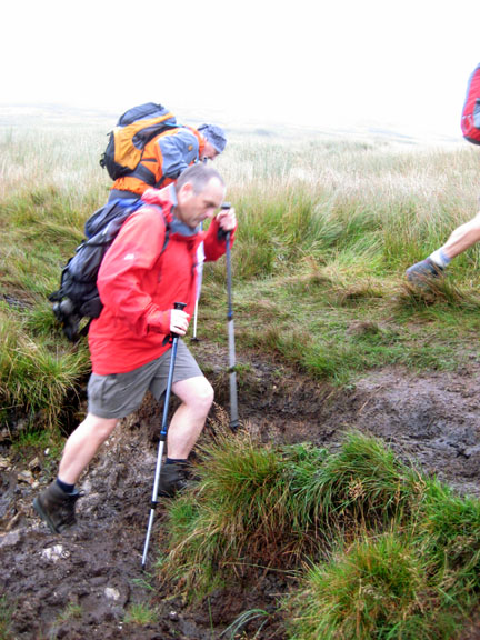
A misty Brothers Water below as John, Jill and Nigel climb the last section to the top.
The second squall of the day, on the top of the first Pike, encourages us back into our waterproof jackets.
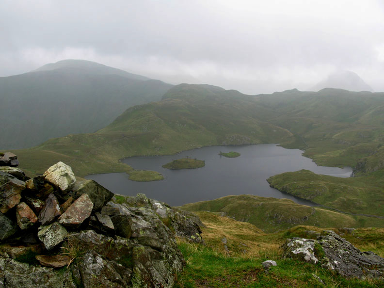
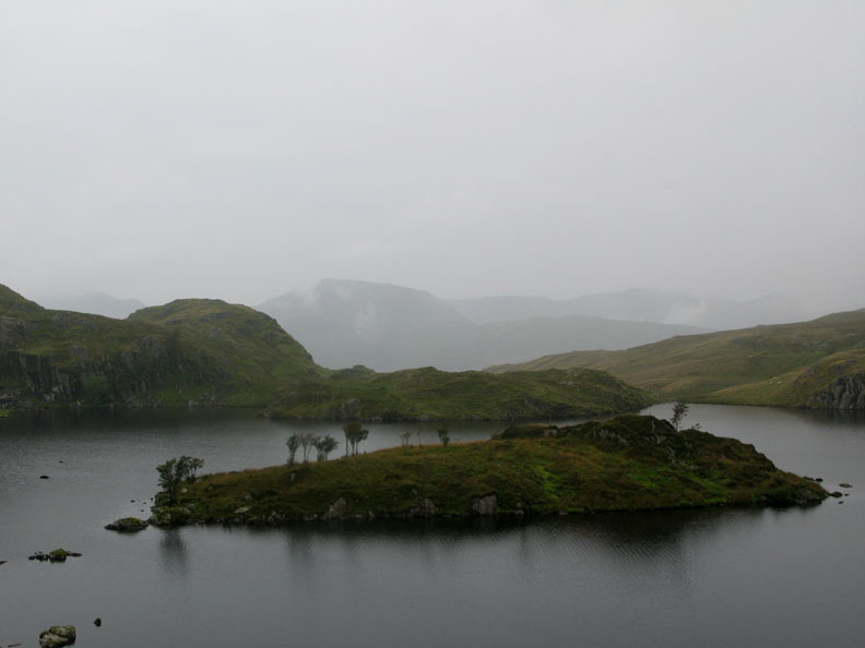
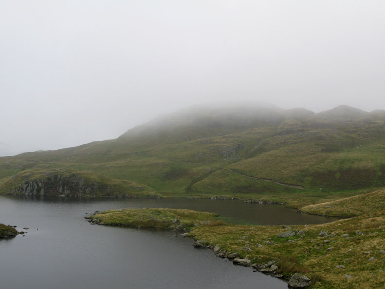
A short hop and we were over on the second summit. Now we have that delightful, if rather misty view, of Angle Tarn and it's islands.
Tucked in the top corner of the previous photo, but here in close up, the aptly named Gray Crag.
Down by the lake and time to find somewhere for lunch.
The weather was still not exactly brilliant.
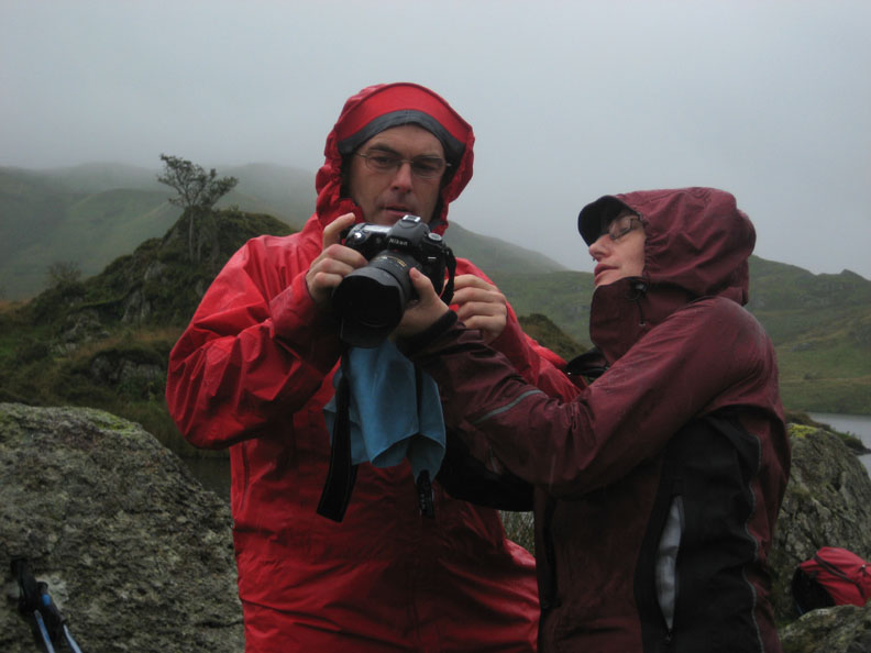
walkthefells.net discusses camera techniques with jillbatchelor.com It seems Jill and David now both use the same model of camera.
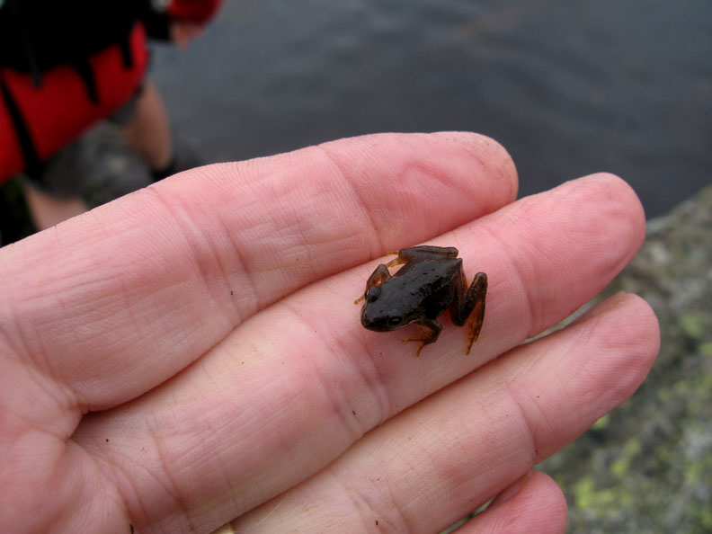
Jill found it, but it's my damp hand that provides a perch for this tiny, new season frog.
The larger of the two islands with the Helvellyn Fells in the distance.
Angle Tarn Pikes, now in mist, across the isthmus that was our lunch spot. Thanks, but we had quite sufficient "merry isthmus" jokes at lunchtime. They don't need to be repeated here !
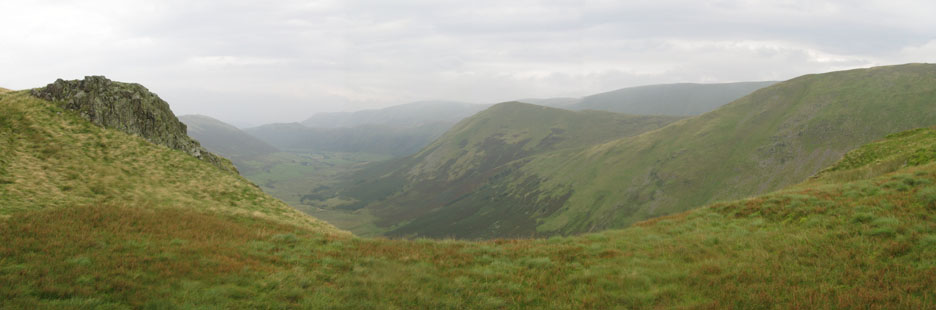
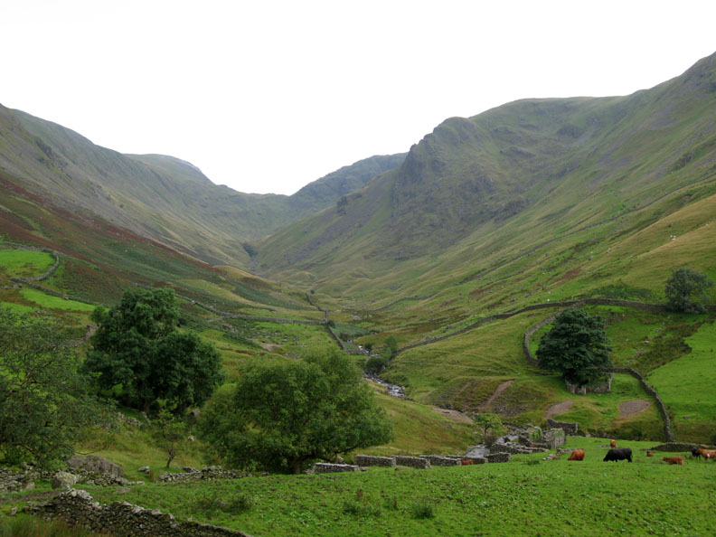
As we climb up past the lake, the weather seems to be clearing. This is the view from Satura Crags, down past the Nab, into Bannerdale Valley.
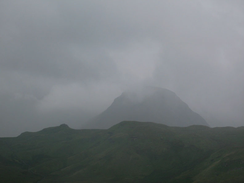
Gray Crag, seen from the gateway, seems to be a little less grey too ( though my lens seems to be rather misty this time )
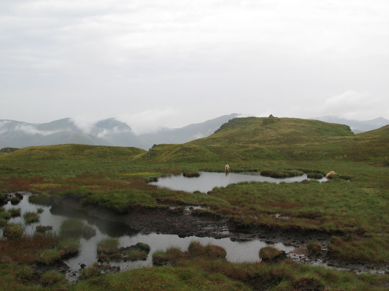
Our second Wainwright summit, Brock Crags, across the rather boggy summit section.
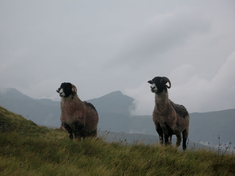
Two locals watch us pass. Behind the mist is slowly changing to patchy cloud as it crosses the slopes of Catstyecam.
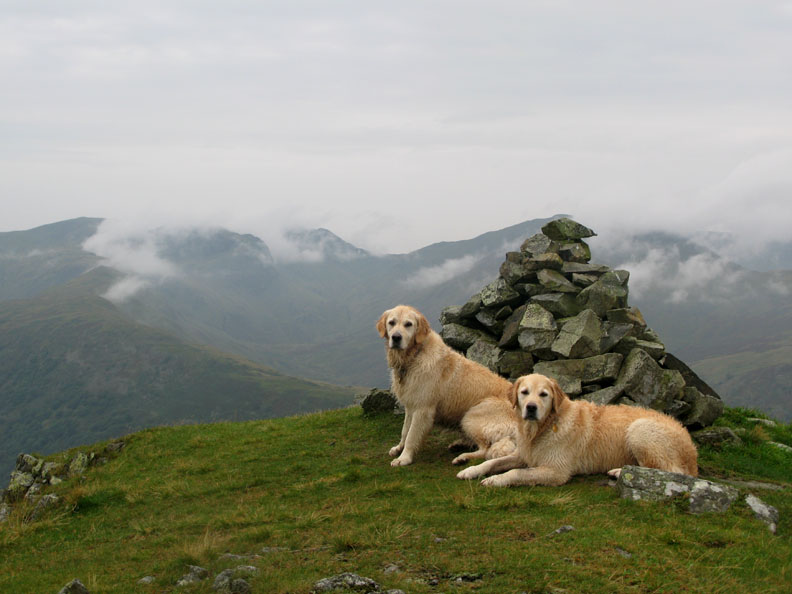
The cloud effect also forms a nice background to this Brock Crags summit photo of Harry and Bethan.
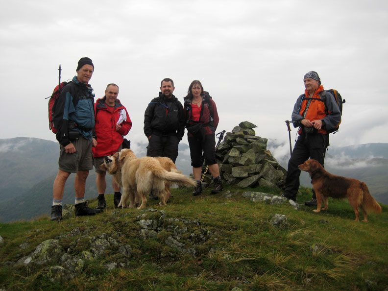
They are joined by us all for a summit photo to celebrate Jill and Nigel's second new AW summit of the day.
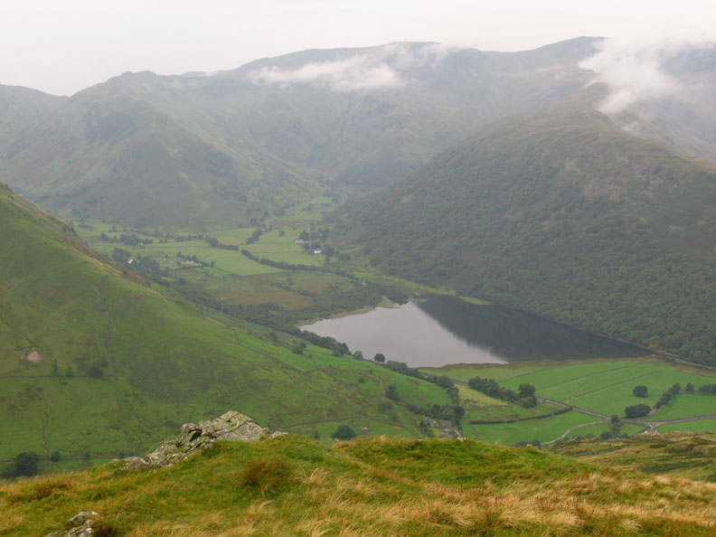
Brothers Water and Dovedale from the same place.
John seems to be the centre of attention at present. I think we can say the weather is definitely brightening at last.
Back to the ridge now and through the old gateposts on the path towards Rest Dodd.
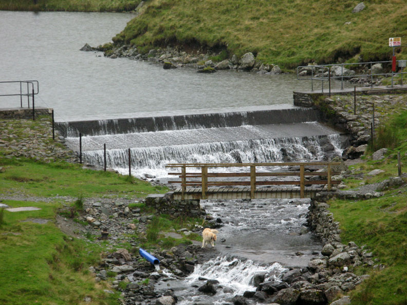
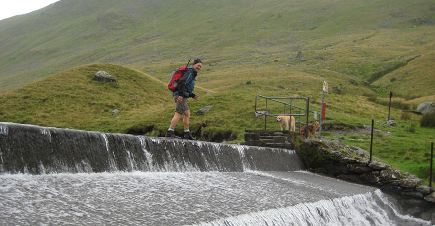
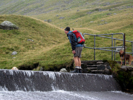
A small dam provides a take off point for the pipeline we followed earlier.
Harry down first, of course.
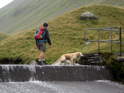
" Walking on water " ? not a miracle . . . just trying out the new waterproof boots !
A leisurely stroll now, back down the track from the reservoir to the car. The building houses the primary filtration equipment for the pipeline.
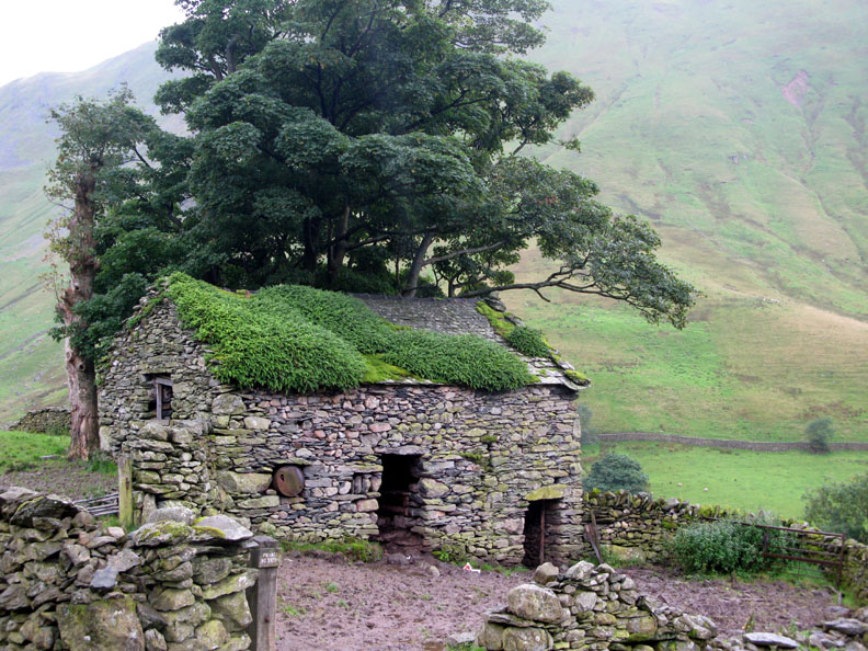
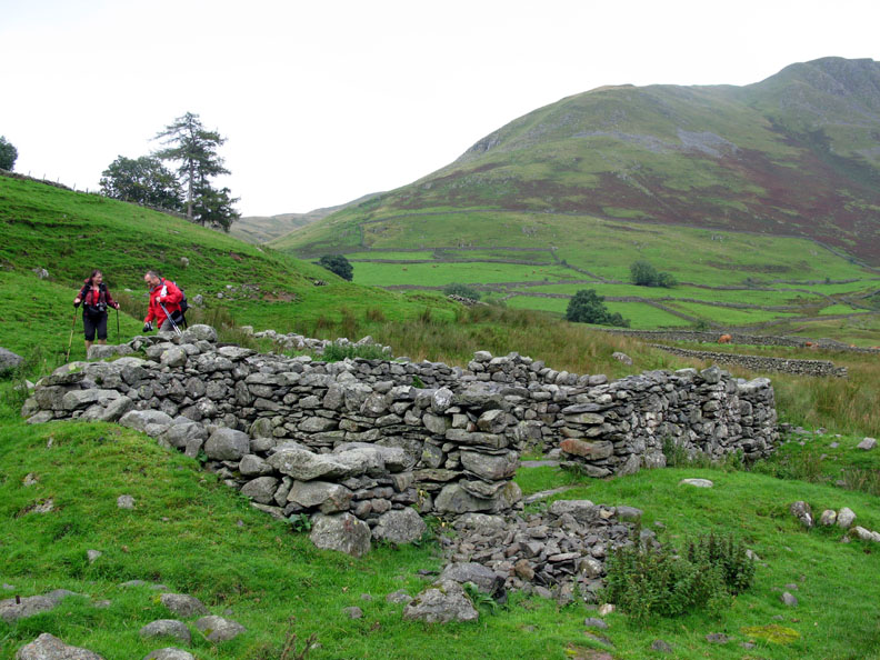
This building is significantly older but still in use as a barn it seems. I hope someone has it in mind to preserve it as an example of a classic upland barn.
The valley eloquently known as Pasture Bottom.
A close up of the old lead mine by the tree, with the water wheel and water leat foundations on this side of the valley.
. However not much remains of the structure of the building. The Corn Mill site is just a short hop away from the car at the end of this slightly damp but very enjoyable walk.
|
- - - o o o - - - Technical note: Pictures taken with my Cannon G7 or Ann's Ixus 75 Digital cameras. Resized in Photoshop, and built up on a Dreamweaver web builder. This site best viewed with . . . lots of Isthmus Presents. © RmH.2007 # Email me direct # Add to my Guest book (front page) Previous walk - 27th August 2008 A damp outing to Ling Crag A previous time up here - 22nd August 2006 Stoney Cove Pike and the Last of the Hartsops
|