![]()

Remember: Press F11 for a full
screen view of this page.
|
|
|
Remember: Press F11 for a full
screen view of this page. |
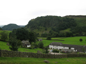
| Date & Time: Tuesday 5th August 2008. 11.50 am start. Location of Start : Fornside, St Johns in the Vale, Cumbria, Uk. ( NY 323 209 ) Places visited : Beckthorns, Bram Crag Quarries, Hill Top Quarries, Fisher's Wife Rake, Clough Head, Calfhow Pike, John's (un-named) fold, down alongside Beckthorns Gill, then back to Fornside. Walk details : 6 mls, 2625 ft of ascent, 5 hrs 15 mins incl lunch. Highest point : Clough Head 2,381ft ( 726m )Walked with : Jo, John, Ann and the dogs, Jodie, Polly, Harry and Bethan. Weather : Overcast with passing showers, as forecasted, but a few hours earlier than they suggested. Fornside and St Johns on the Vale with Wren Crags and Great How behind |
|
|
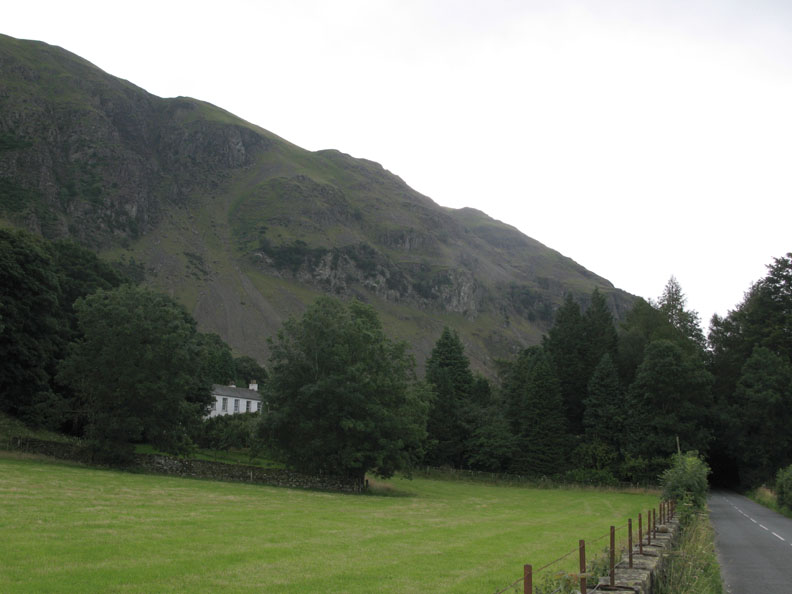
We've seemingly had no consistent summer in the Lakes this year. Today was no exception either as we wake to another grey morning. We note too, from the forecast, that a band of more persistent rain is due to reach us mid afternoon ! Today John has offered to lead a walk up Fisher's Wife Rake in St John's in the Vale. The route up and back would be interesting in itself and as it wasn't particularly "weather dependant" it would be an excellent choice for today's outing.
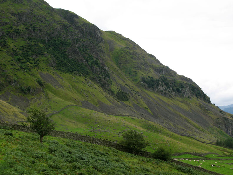
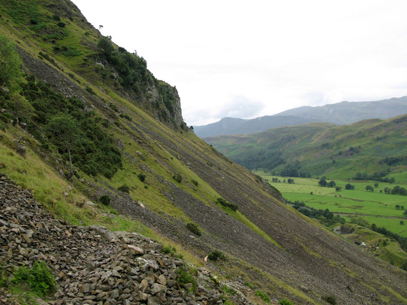
Fishers Wife Rake, seen from the valley road as we drove to Fornside. ( Hold your cursor over the photo to see the route. )
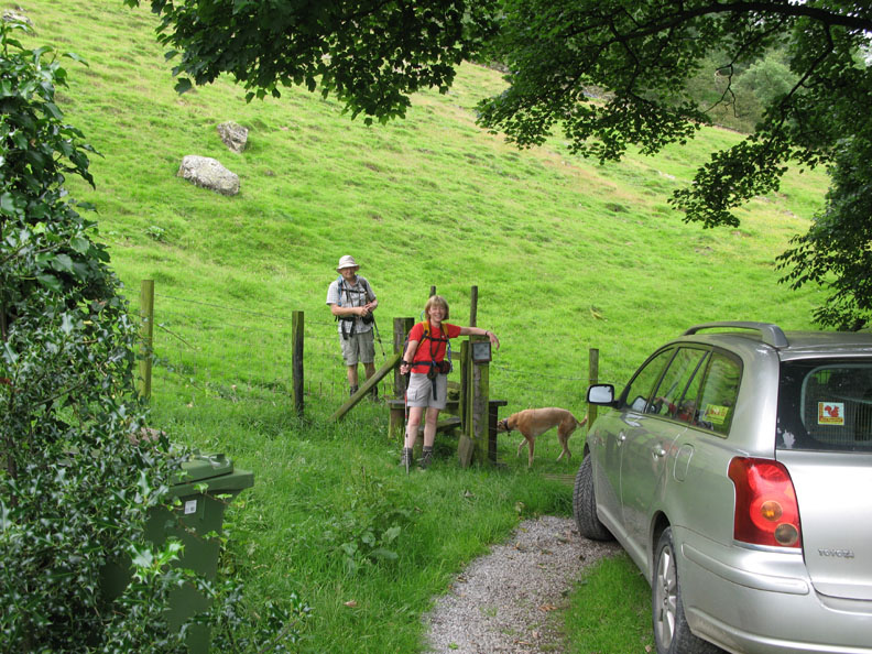
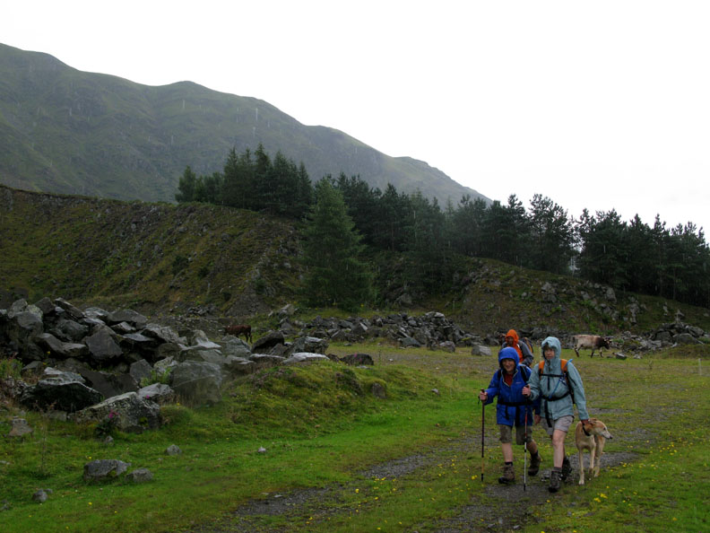
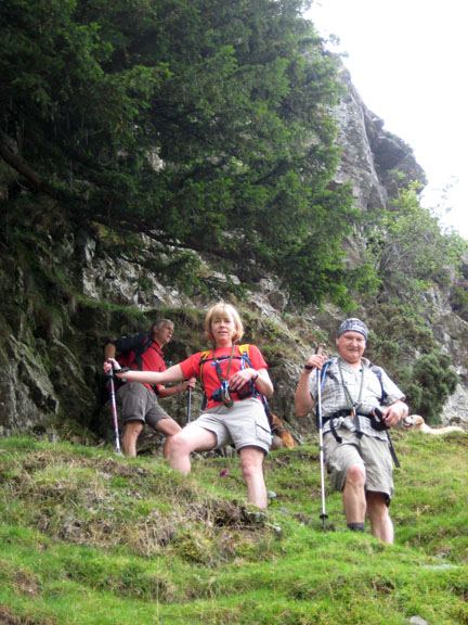
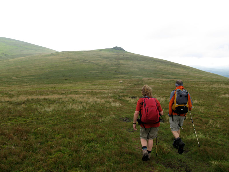
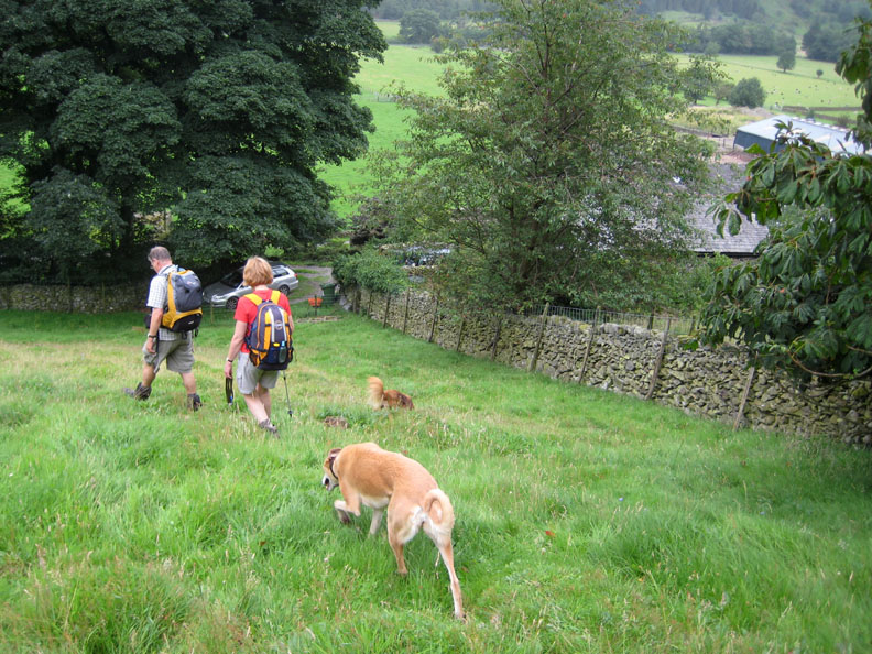
John leads the way, but Jo holds back and looks nonchalant for the start photo !
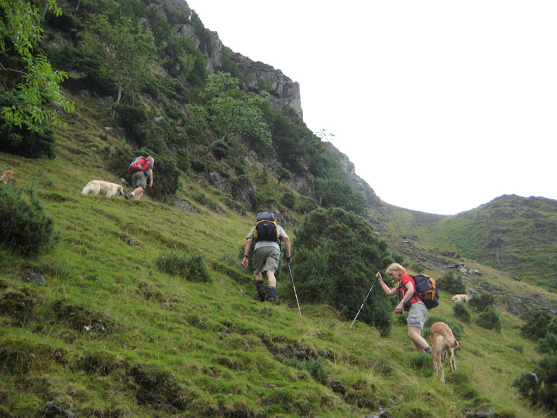
We followed the wall for quite some time . . . but where are the girls, they were just behind us earlier ? Good job John was taller so he could navigate this section of the route !
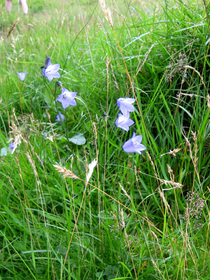
You can't see me . . . I'm hidden in the bracken.
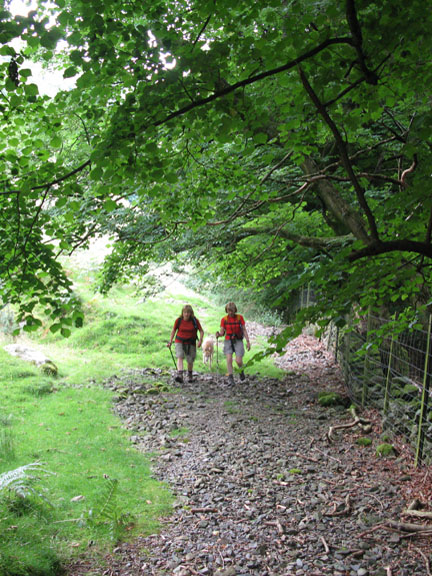
From Bram Crag Quarries onward there was a good path along the old quarry railway track.
The forecasted rain has arrived but rather earlier than expected. It really was time to put on the waterproofs, especially now we are out in the open.
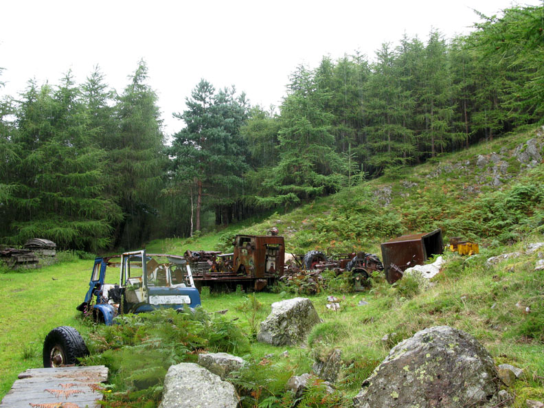
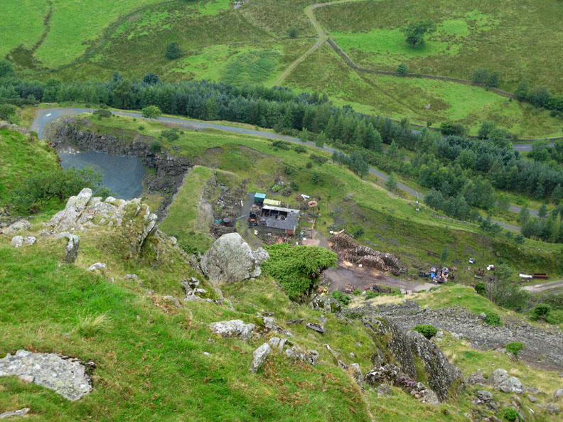
A quarry graveyard . . . the remains of lorries, a dismantled diesel train, old tractors and redundant mining gear.
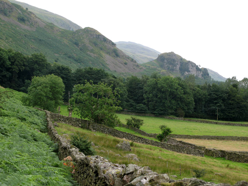
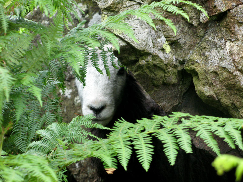
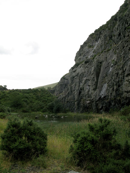
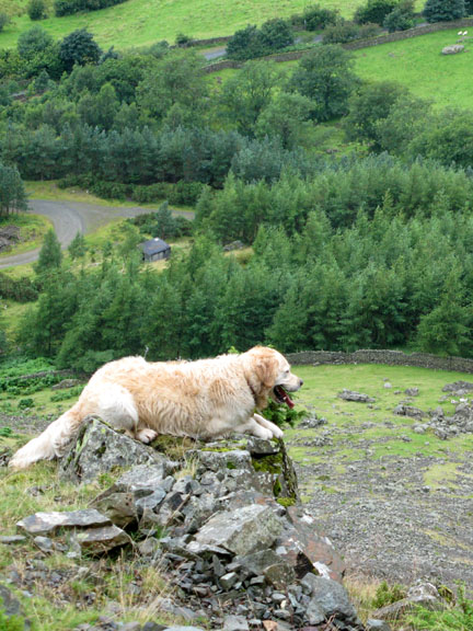
Passing the cows . . . and passing Spion Kop Quarry, one if the Hill Top quarries shown on the map.
We join the Wanthwaite path up between two of the large quarry excavations and climb above the fell wall again. It's warm and humid now and Jo stops to shed a layer.
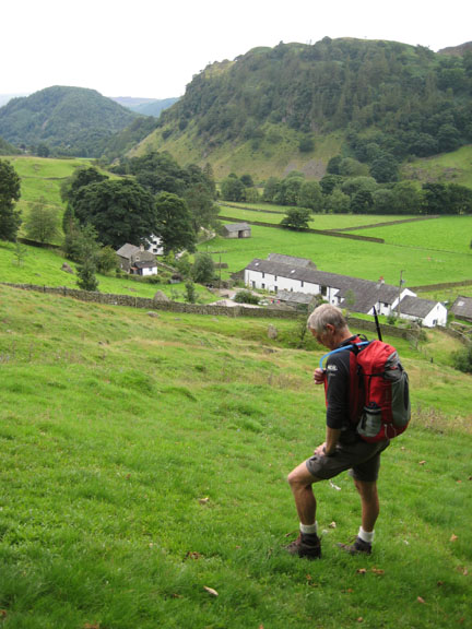
Having avoided the quarries and the farmers fields we now had to backtrack to get across to the start of the main climb.
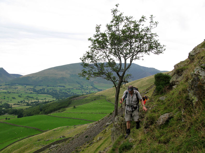
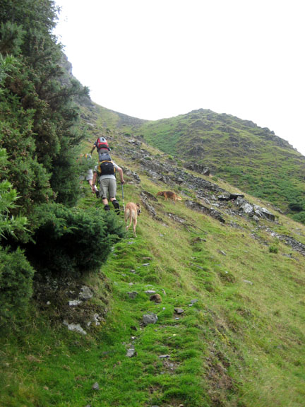
John passes above the Rowan Tree on a reasonable path.
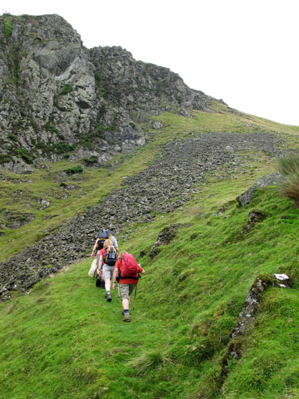
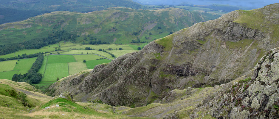
The steep scree below Fisher's Wife Rake which we avoided by staying close to the cliff.
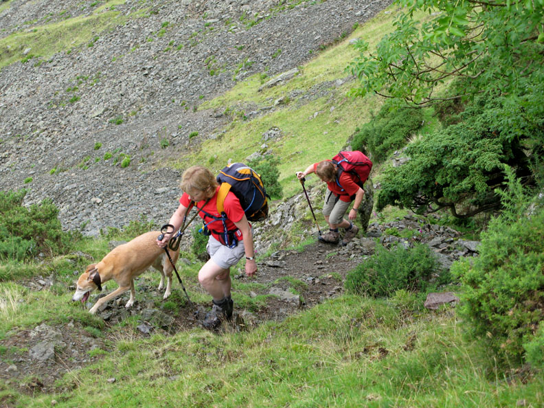
On the main climb now. Ann catches a photo as we climb on a reasonable, if rather wet and slippery zig-zag path.
Jodie, Jo and Ann climb close to the cliff face, with the steep scree running out below them.
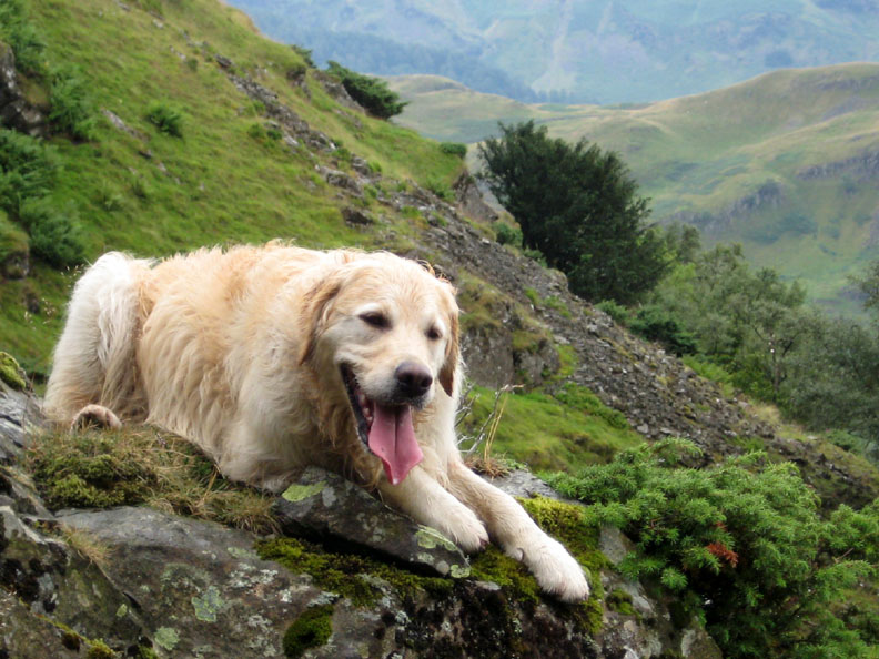
She was feeling rather hot today too and was trying to cool off in the near 100% humidity.
Harry was ahead . . . he's already worked out the route, and had found a patch of grass on which to relax as well.
Nearly at the top, we stop for "lunch with a view" . . . almost straight down on the Bram Crag Quarries that we had passed earlier. Make sure the sandwich box doesn't fall off the edge as there's no going down to fetch it !
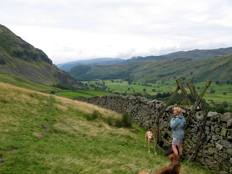
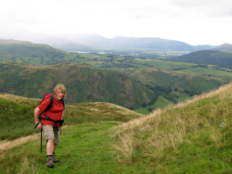
Ann reaches the head of the Rake as another rain storm crosses the North Western Fells. She's looking pensive as she remembers that we left some washing out to dry on the line !
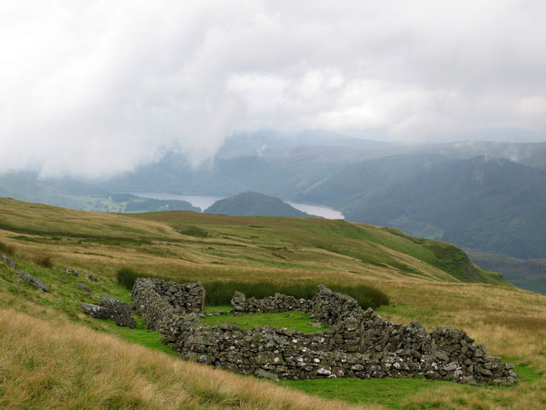
Jim's Fold, with a backdrop of Thirlmere and the Armboth Fells. This sheepfold is marked on the map but is rarely visited due to it's remoteness from the regular Clough Head paths.
We decide to climb to the top of Clough Head as we were reasonably close.
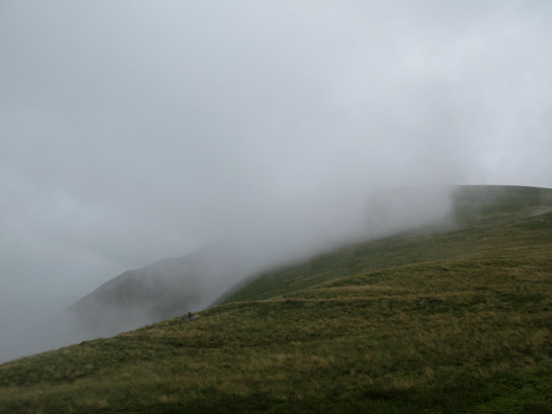
Cloud swirling across Clough Head summit. What we had forgotten was the distance to the top . . . it was nearly 3/4 of a mile and several false summits away.
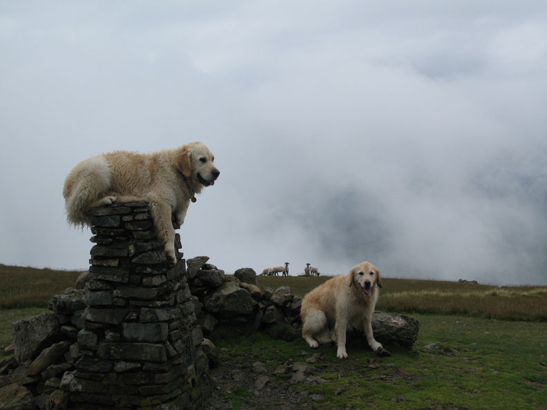
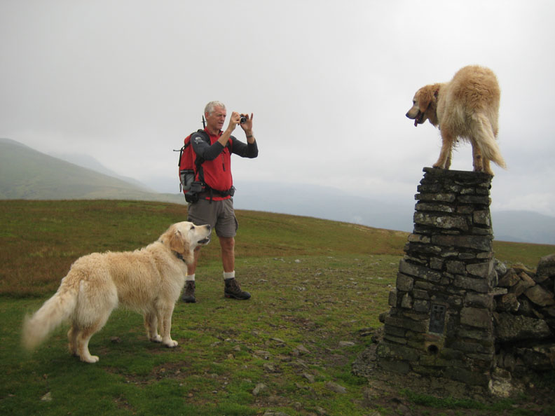
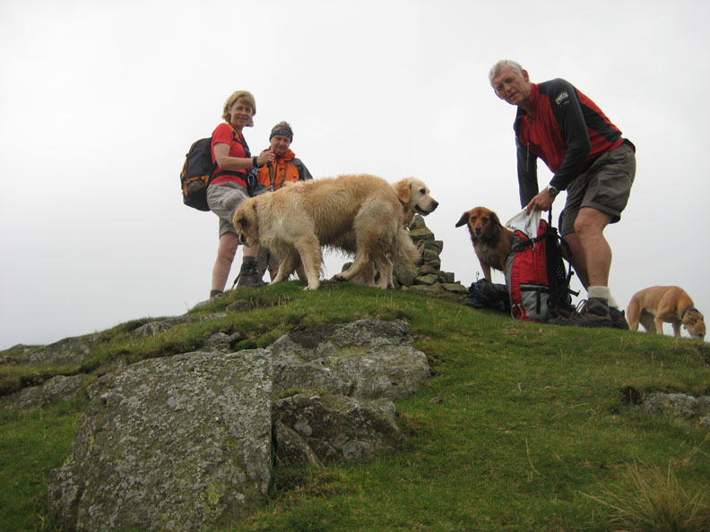
Still, a steady pace and one last jump and we were on the summit trig point.
Who's a clever boy then ?
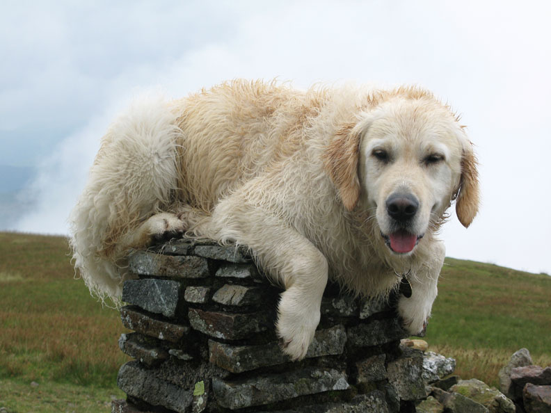
Having vacated the top, Bethan then took the chance to climb the trig point too! Harry was not impressed !
" Top Dog "
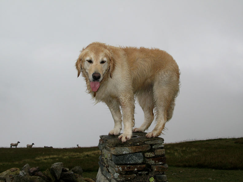
With limited views and damp conditions there was no point in hanging about, but the weather was warm and waterproofs not needed as we cross to Calfhow Pike.
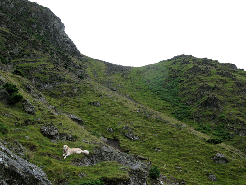
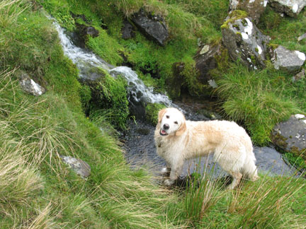
Searching for dog treats on Calfhow Pike.
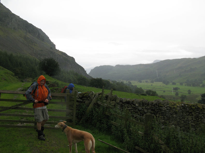
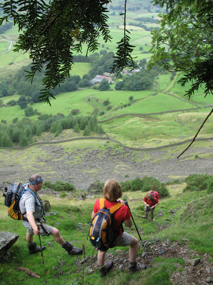
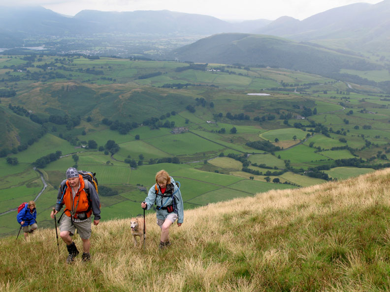
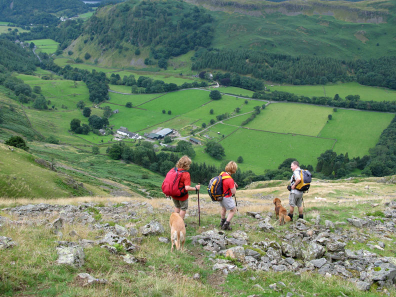
Turning west and heading for St John's in the Vale again, we walk down the ever steepening hillside until we reach John's (unnamed) sheepfold.
This marked the top of the Fornside Peat Track, a well defined zig-zag path down the steep fell side towards the valley bottom. In olden days this path was cut into the hillside in order to provide a workable sledge track down for the peat, extracted from the the top of the fell.
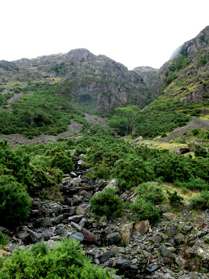
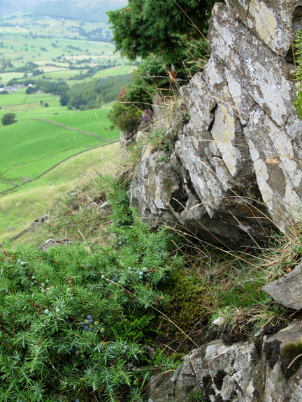
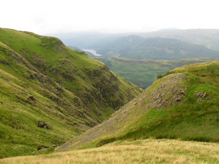
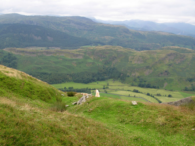
We diverted slightly off track to look down into the impressive Beckthorns Gill ravine which runs parallel to the Peat Track path at this point.
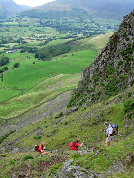
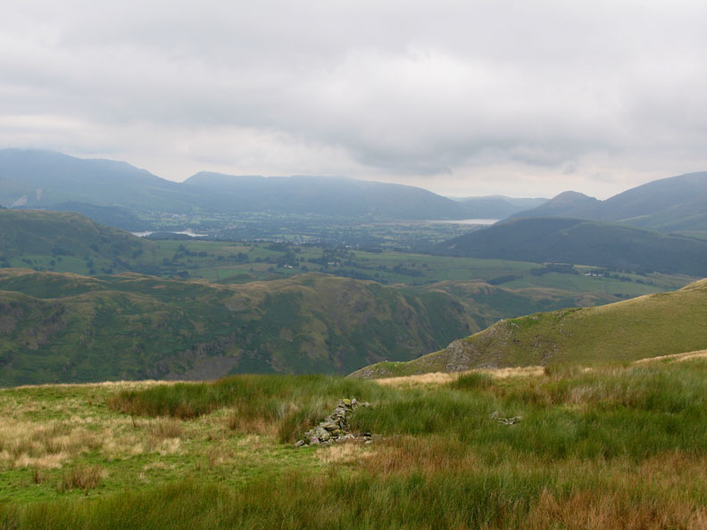
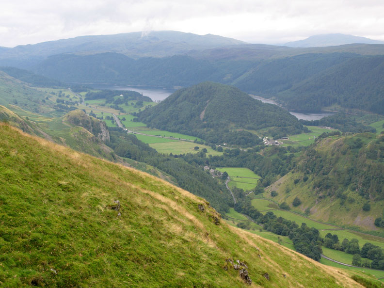
Still a way to go as we look down on Thirlmere Green, Castle Rock and Great How in front of Thirlmere Reservoir itself.
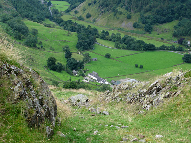
Fornside gets closer as we slowly make our descent down the old path.
Fornside, framed between the two rock walls of the pathway.
I think this is where we came in . . . back at the cottage. John's turn to put the kettle on I think :o) |
- - - o o o - - - Technical note: Pictures taken with my Cannon G7 or Ann's Ixus 75 Digital cameras. Resized in Photoshop, and built up on a Dreamweaver web builder. This site best viewed with . . . the satisfaction of "been there...done that" for another evocatively named place in the Lakes. © RmH.2007 # Email me direct # Add to my Guest book (front page) Previous walk - 2nd August 2008 Dow Crag and a host of Webmasters A previous time up here - 24th April 2005 Clough Head and the Dodds via Threlkeld Knott
|