![]()

|
|
|
| A
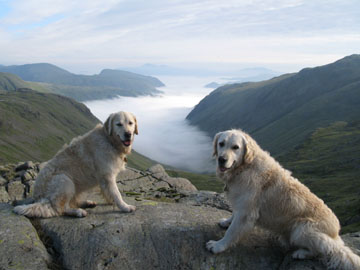
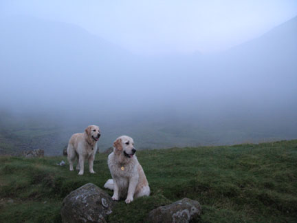
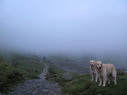
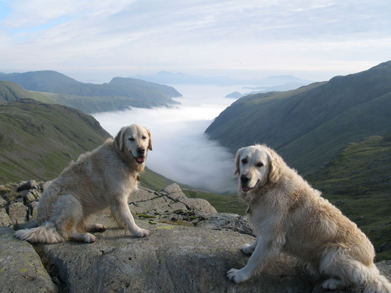
Three Peaks Date & Time: Sunday 27th July 2008. 4.45 am start. Location of Start : Seathwaite Farm, Borrowdale, Cumbria, Uk. ( NY 235 122 ) Places visited : Stockley Bridge, Grains Gill, Ruddy Gill, Esk Hause, and return. Walk details : 5.5 mls, 2100 ft of ascent, 8.5 hrs mins including one very long stop ! Highest point : Esk Hause radio relay 2460ft ( 759m )Walked with : Myself, the dogs Harry and Bethan, The Challenge Crew and 100 Three Peaks walkers. Weather : Cold, dark and misty to start but wonderful dawn light, high above a valley inversion. My two immediate travelling companions . . . Bethan and Harry |
|
|
Today was another opportunity to be dragged out of bed at silly-o'clock and to be up before dawn. It was the day of another Global Challenge 3 Peaks event, raising money on behalf of the Red Cross medical charity. The Challenge Teams were due down from Ben Nevis in Scotland, which they ascended last evening, for an early start at climbing Scafell Pike today. They were hoping to make it down to Wales in order to climb Snowdon to finish their weekend, the three highest peaks of mainland Britain being climbed together as a sponsored walk event. They were still travelling south from the M6 into Cumbria
as I set off up the valley towards Honister and Seathwaite. The dogs and
I had to walk to the head of Grains Gill to be in position prior to their
arrival.
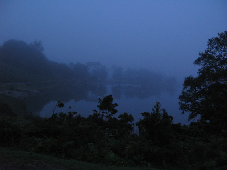
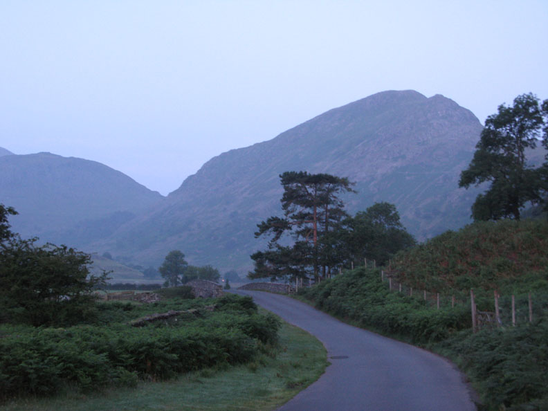
The Buttermere Pines . . . an unusual early morning shot for me . . . the time 4.30 am. Mist and the grey morning light meant slow going especially as the local Herdwick Sheep, which were the same misty grey colour, were sleeping all over the warm road !
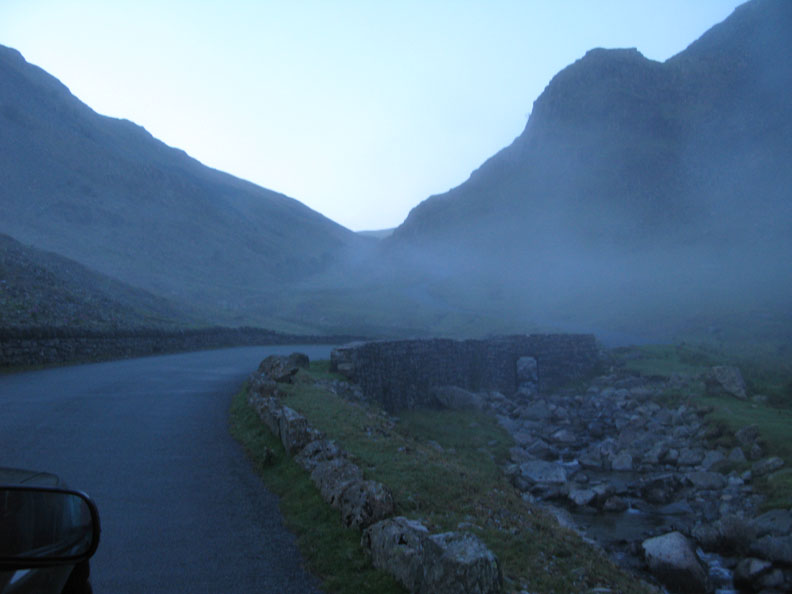
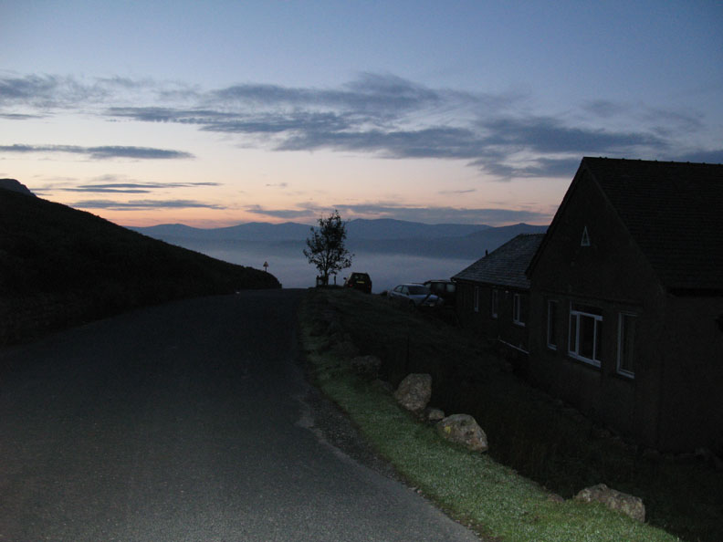
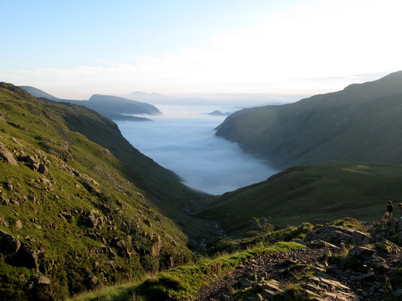
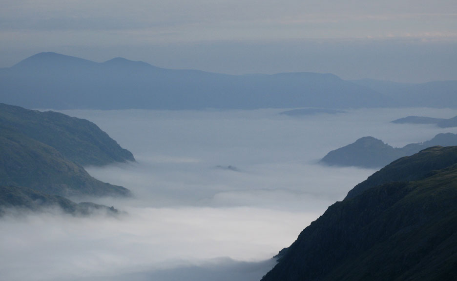
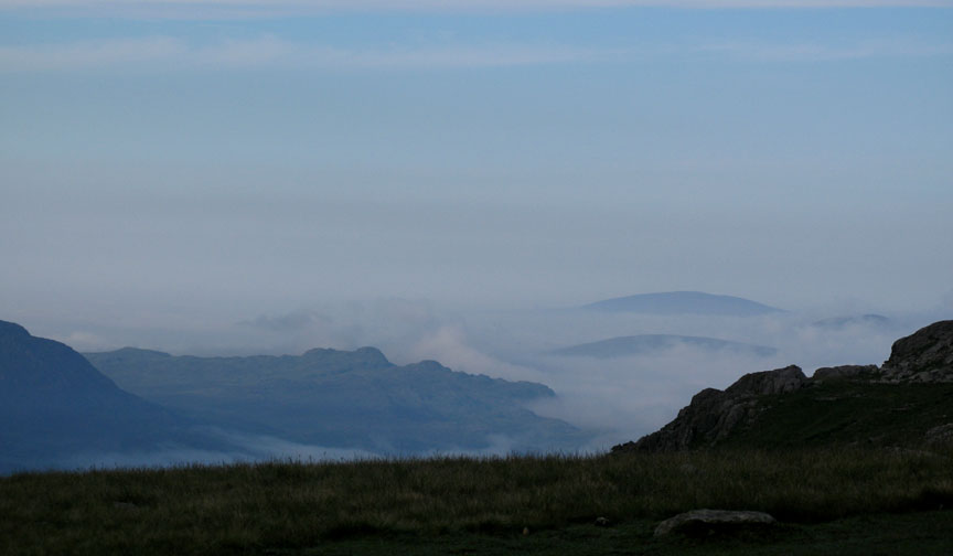
I thought it would turn out to be a poor day on the fells but I had forgotten the possibility that the cloud was confined to the valley. As I drove up Honister, instead of getting worse, it just got better.
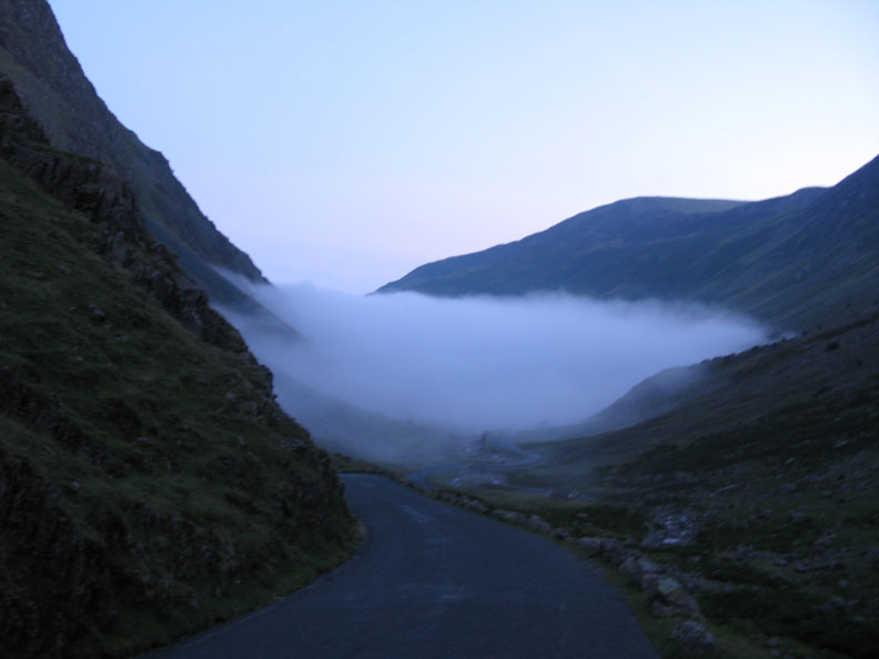
Above the steepest section of the road climb, I stopped to look back at a beautiful cloud inversion.
Honister Youth Hostel and I can see the cloud inversion extending into the Borrowdale Valley too.
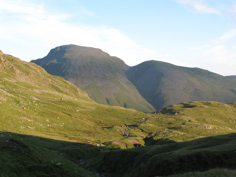
Base Brown at the head of Borrowdale. The mist was a little clearer here for some reason.
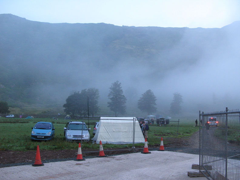
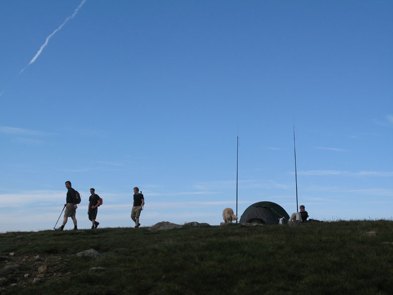
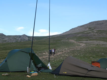
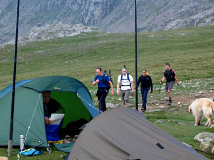
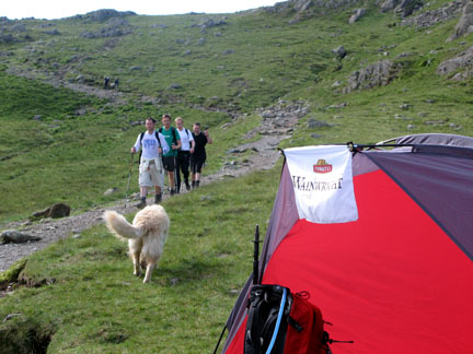
The Global Challenge tent and the radio base for today's event was already up and running. The first of the minibuses had arrived and soon the walkers would be under way.
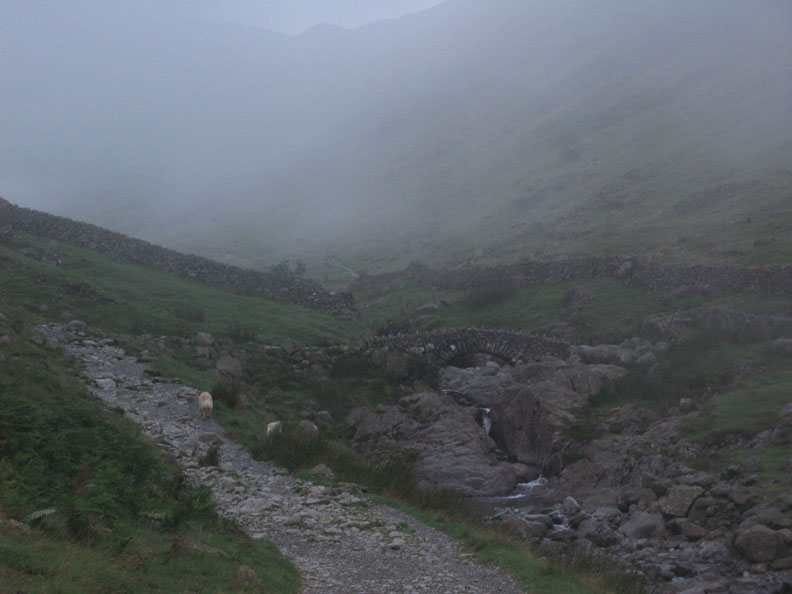
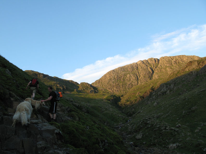
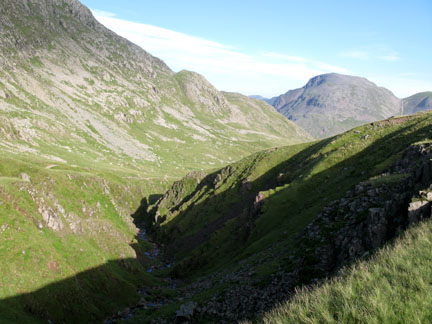
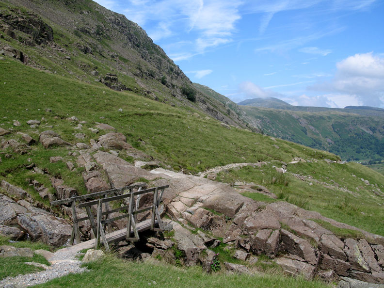
Close up, the bridge was revealed. We cross the bridge and turn left, heading on up the Grains Gill path.
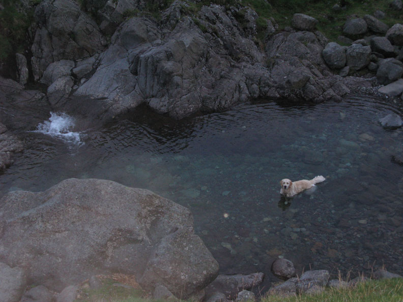
" Time for a swim ? " . . . Come on Harry . . . it's five in the morning !
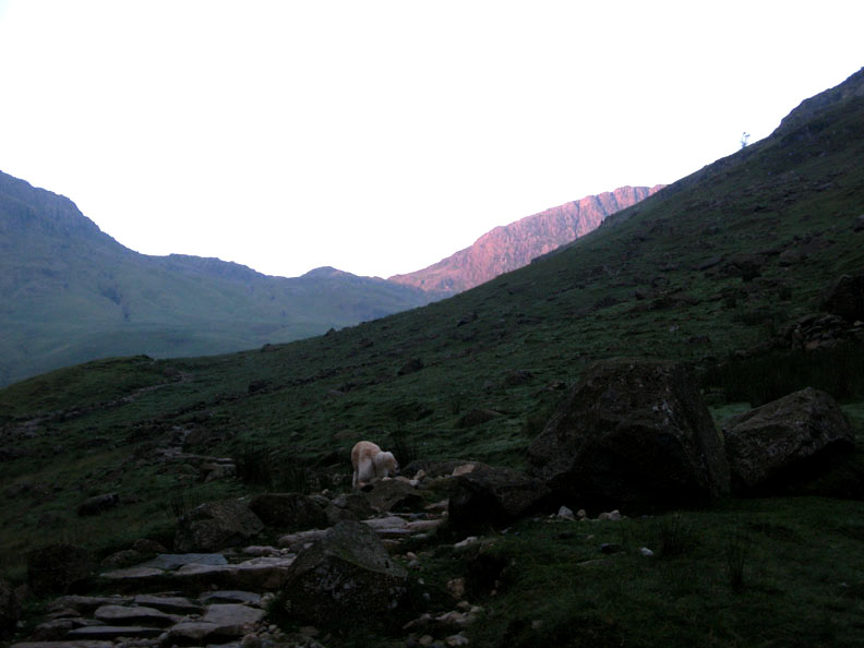
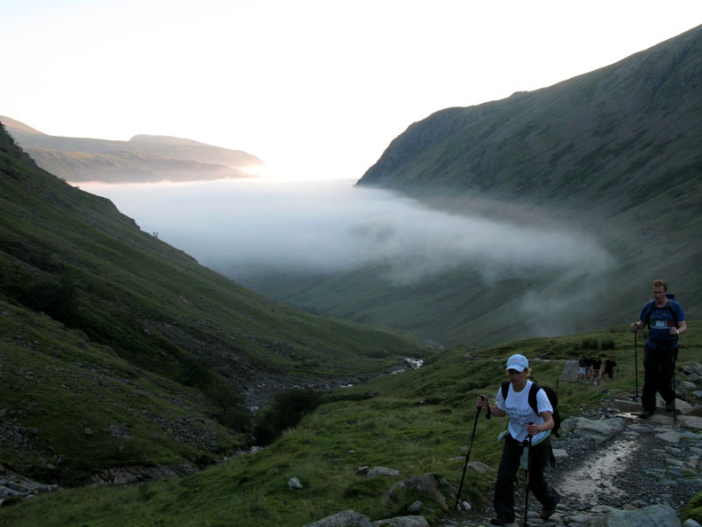
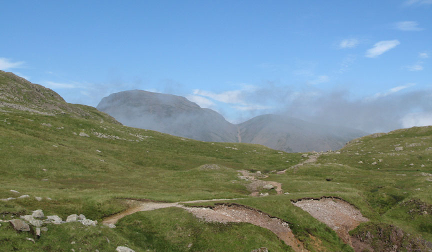
Five fifteen and we're clear of the valley mist. Ahead the morning sunshine is catching Great End.
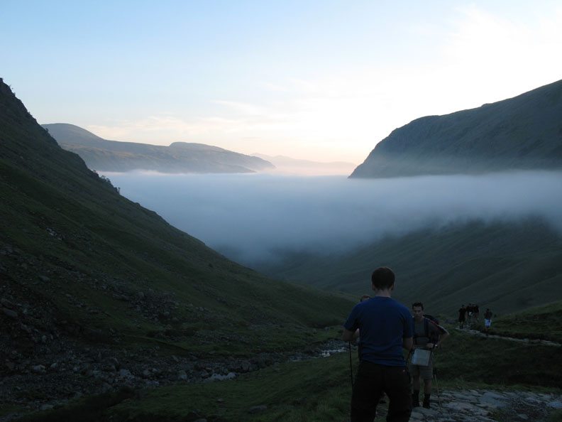
The first pink colour turns to a richer yellow as the dogs and I climb the pitched path up alongside the Gill.
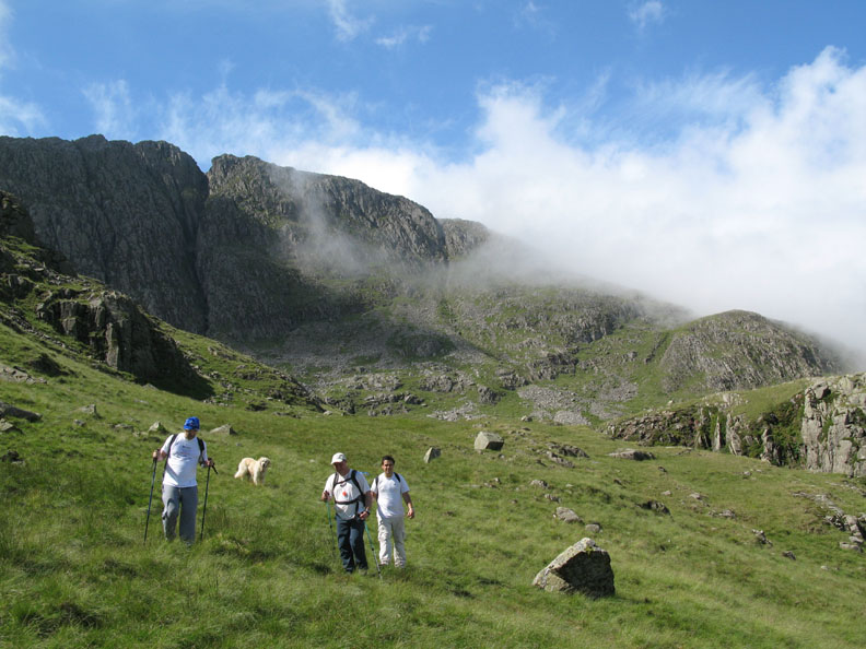
The first teams catch me up as I stop to shed a layer of clothing. Now we have risen above the cold valley cloud we have reached the warmer mountain air.
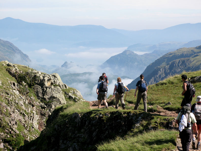
Don't forget to turn round and admire the view . . . some of the teams stop for a photo.
The first group is making good time so I send the dogs up to slow them down !
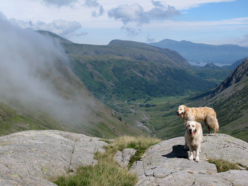
At the head of Grains Gill, the distant views now include Skiddaw and Blencathra.
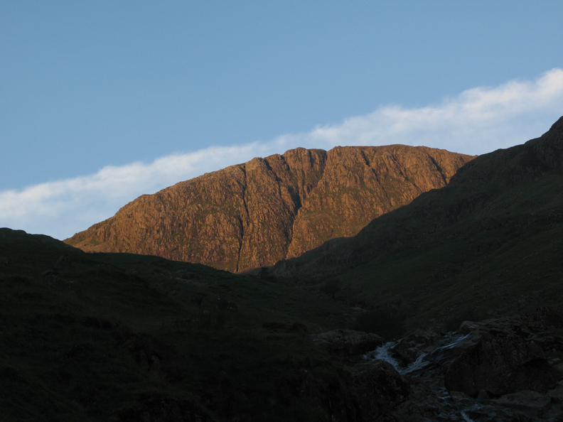
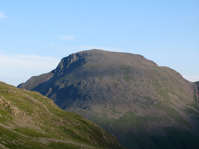
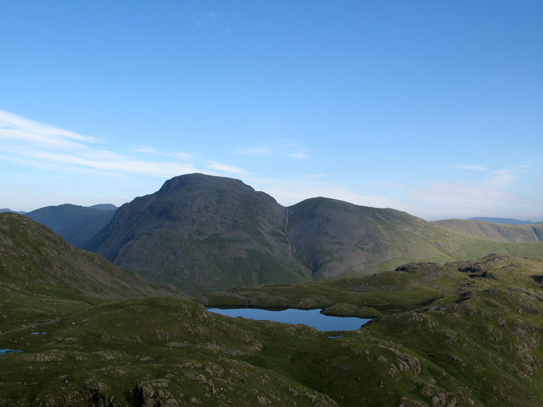
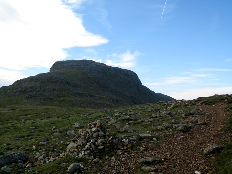
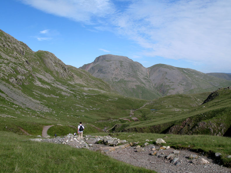
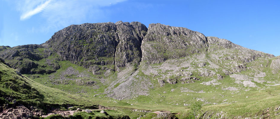
Great Gable, from my base for the next five hours, the top of Grains Gill.
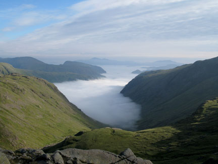
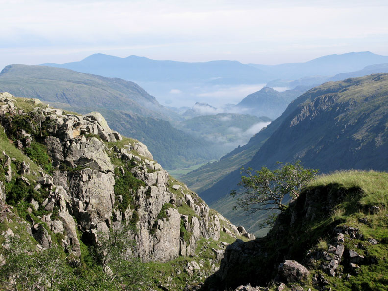
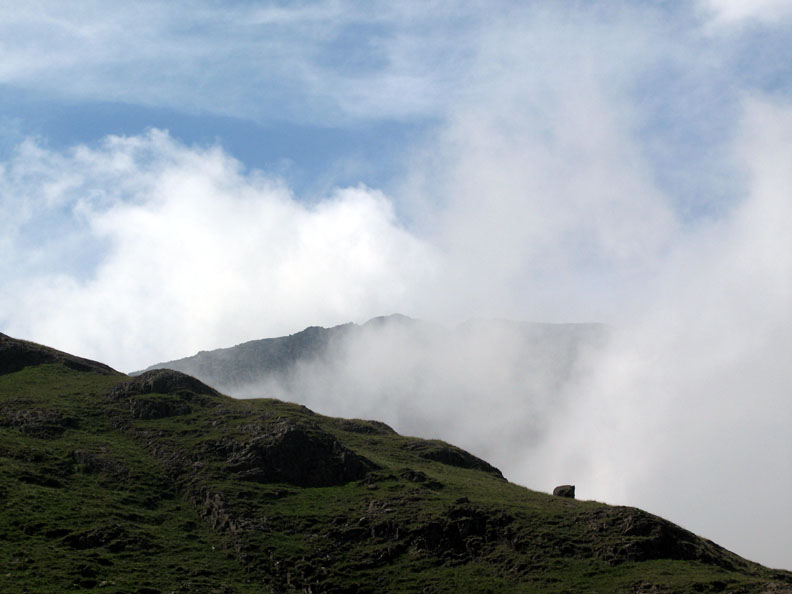
As the morning passes the mountains are the same, but the view changes as the high clouds come and go. In a lull in the proceedings I take a short walk across Ruddy Gill to see how the valley is looking.
Click here or on the inversion photo above for a larger annotated panorama.
Great Gable seen across a deep blue Sprinkling Tarn.
Don't look at us, look at the view ? Hold your cursor over the picture . . . and look over there . . . where I'm looking !
A close up of Borrowdale Valley and the distant Skiddaw. The top of Castle Crag, at just under a thousand feet, peeps out of the cloud in the centre of the valley.
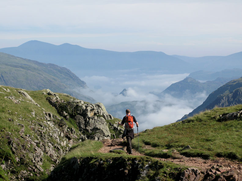
After the teams have all passed up the fell I walk up towards Esk Hause. Esk Pike is the fell ahead as I climb.
Challenge Radio Relay, and Jo at the Esk Hause checkpoint. No time to spare, the first teams are already on the way down.
Looking over the top. Green Crag in the foreground, Caw Fell just showing behind, with the rounded Black Combe in the distance.
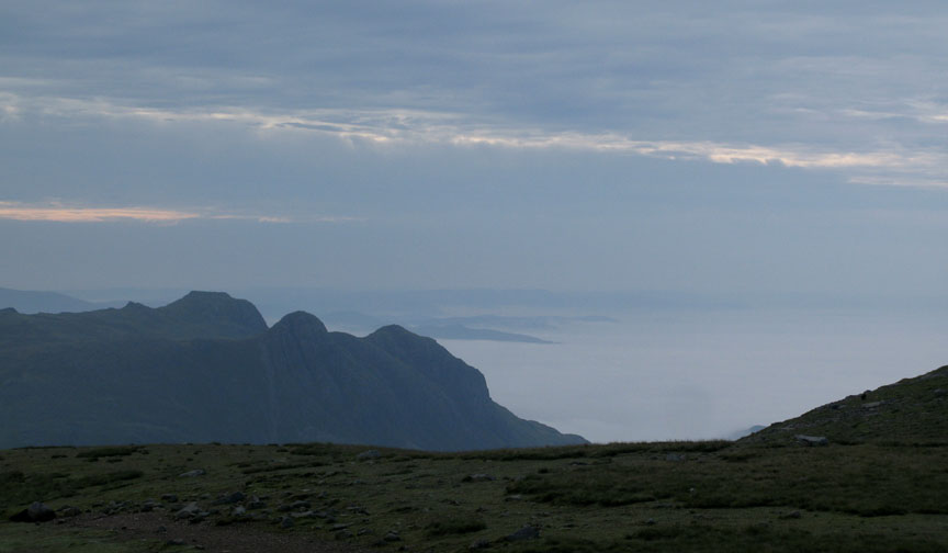
The Langdale Pikes and the inversion extends to the east side as well as the west. I walk down with the Challengers as they head down towards Borrowdale again.
The band of high cloud that crossed the sky earlier has gone and the weather is now getting very warm.
The top of Grains Gill. The cloud in the valley is starting to burn off as the sun breaks through.
Just Derwent Water is missing now as the valley clears.
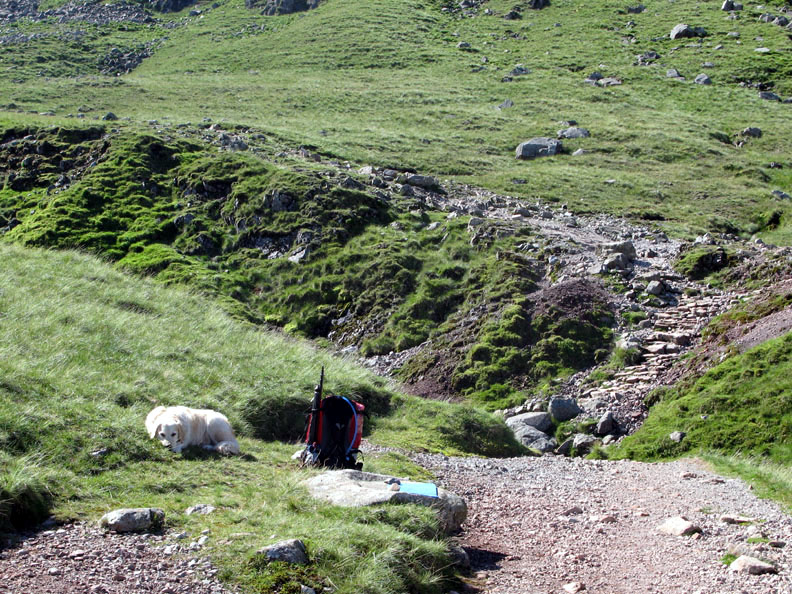
Bethan stayed by the pack as a marker for the turn down Grains Gill.
More walkers make their way down.
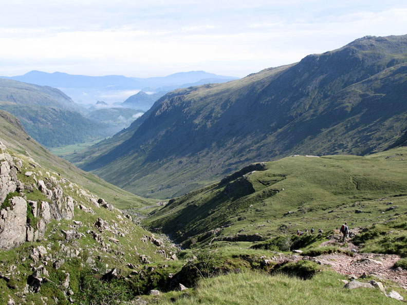
Time to leave now. The final team is on the way down with the rest of the marshals, so I walk out ahead of them with the last but one group.
A final look at Great End resplendent now in bright midday sunshine.
One of the guys is suffering slightly so we take the green route down over the grass away to the right, so as to be easier on his knees.
The cloud that was passing Great Gable has now moved closer and is brushing across the crags above us.
Dramatic cloud rolling over Sprinkling Crags.
The cloud flows on over Seathwaite Fell, but dissipates before reaching the valley.
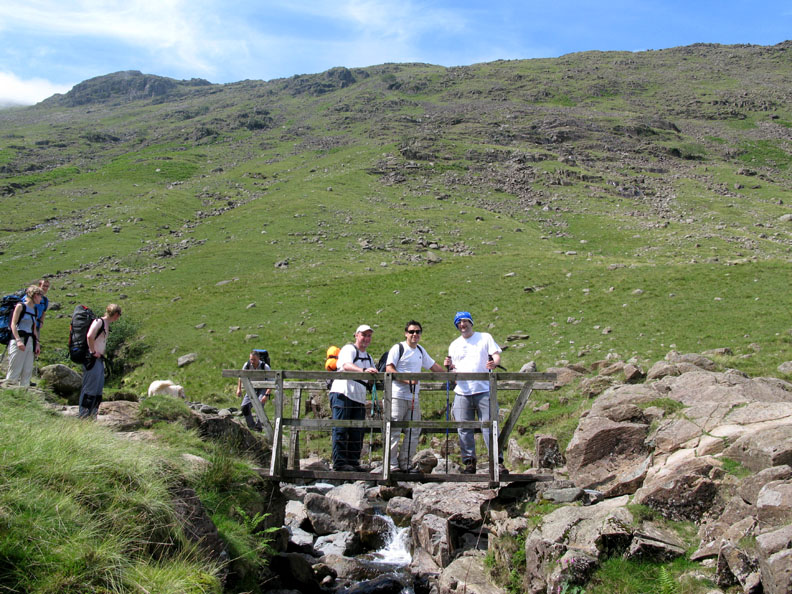
The wooden footbridge at the top of Grains is where we re-join the main path.
The final team and the rest of the Challenge crew have caught us up but there's still time to pause for a photo call . . . Team Rubella ! ( Could have been worse, it is a Red Cross Event after all . . . they said they didn't get chance to chose their own name !)
Nearly down now as we cross Stockley Bridge on the way back. That's it Harry . . . the swim I promised you earlier.
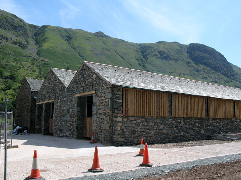
Back at base adjacent to the new barn at Seathwaite, and very good it looks too. - - - o o o - - - Work done, we hand back the radios and leave for home. However, the Challenge Teams are back into their transport and already heading south, hoping to climb Snowdon before the day is out. Well most of them will be anyway. One or two looked a little tired.
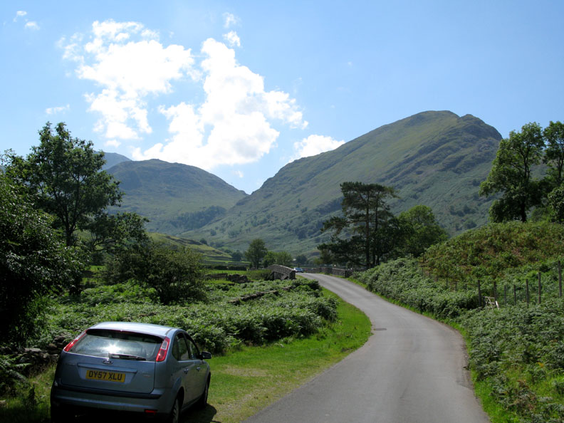
Base Brown, now in strong sunshine, as I drive back down the valley.
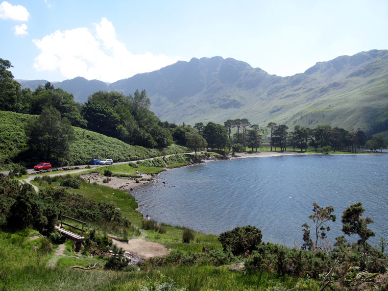
The Buttermere Pines. I think this is where I came in . . . . ten hours ago. - - - o o o - - - |
Technical note: Pictures taken with my Cannon G7 Digital camera. Resized in Photoshop, and built up on a Dreamweaver web builder. This site best viewed with . . . lunch and a short afternoon siesta perhaps ! © RmH.2007 # Email me direct # Add to my Guest book (front page) Previous walk - 22nd July 2008 Sale Fell with Lily A previous time up here - 29th July 2007 A Red Cross 3 Peaks Event - Scafell Pike - 2007
|