![]()

|
|
|
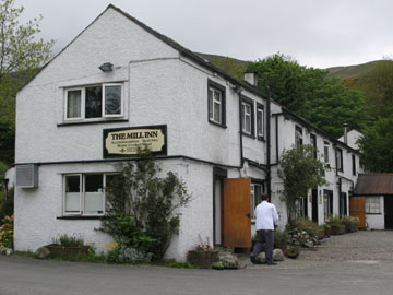
| Date & Time: Saturday 17th May May 2008. 11 am start. Location of Start : Mungrisedale Village Hall, Cumbria, Uk. ( NY 364 303 ) Places visited : Mungrisedale Village, Souther Fell, White Horse Bent, Upper Glenderamakin Valley, Bannerdale Crags, Bannerdale East Ridge, Lower Glenderamakin Valley and back to Mungrisedale. Walk details : 6.5 mls, 1950 ft of ascent, 4 hrs 25 mins. Highest point : Bannerdale Crags 2,241ft ( 683m )Walked with : Jo, John, Ann and the dogs, Megan, Jodie, Polly, Harry and Bethan. Weather : Overcast with low cloud on the tops. Cold in the easterly breeze. Light rain at one point. The Mill Inn (now under new management) at the start of the walk |
|
|
A Saturday walk while Jo was up for the weekend. We needed a slightly shorter walk in order to go to an evening lecture given by Stephen Venables as part of the Keswick Mountain Festival Week so Souther Fell would be great. Combine that up with another unfrequented route off Bannerdale Crags opposite and we had the basis of a good day out.
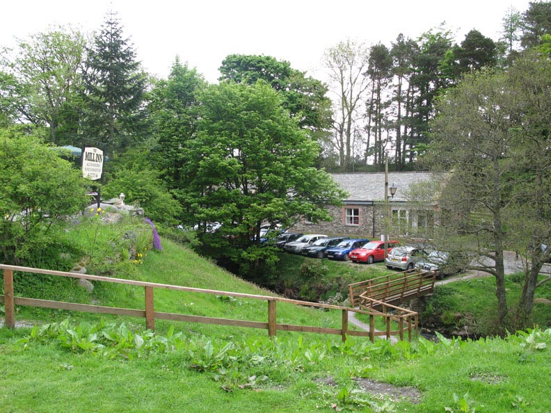
Parking by the Village Hall in Mungrisedale. ( Honesty box charge of £1 . . . very reasonable )
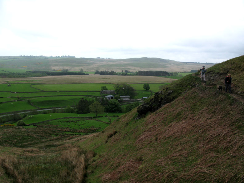
We walked the road for a few hundred yards and started the climb by the Cattle Grid. Opposite is Berrier Hill. Lets hope they don't spoil it, and the view, with any wind turbines.
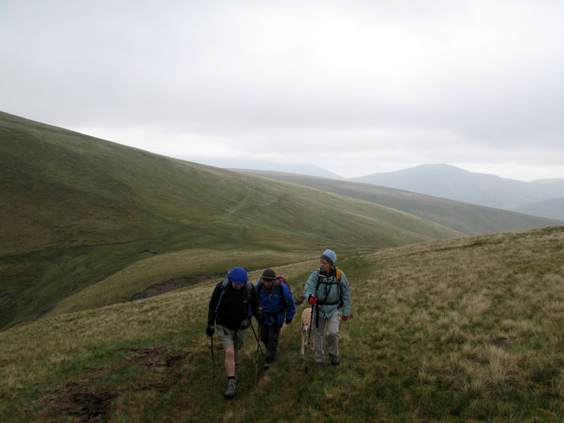
Climbing the northern end of Souther Fell. Our 500 yard diversion has avoided the 50 yard climb up from the pub !
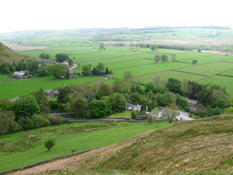
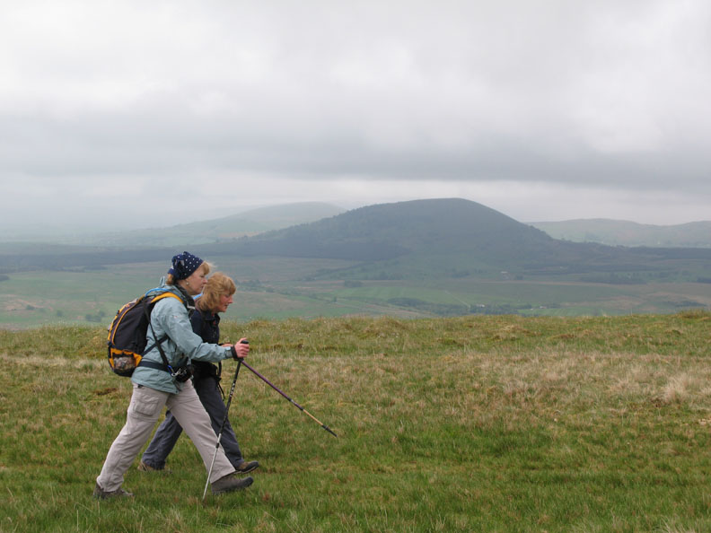
On level ground now the stride lengthens and the pace quickens. Behind Ann and Jo are Great and Little Mell Fell, lost slightly in the mistiness of the damp easterly breeze.
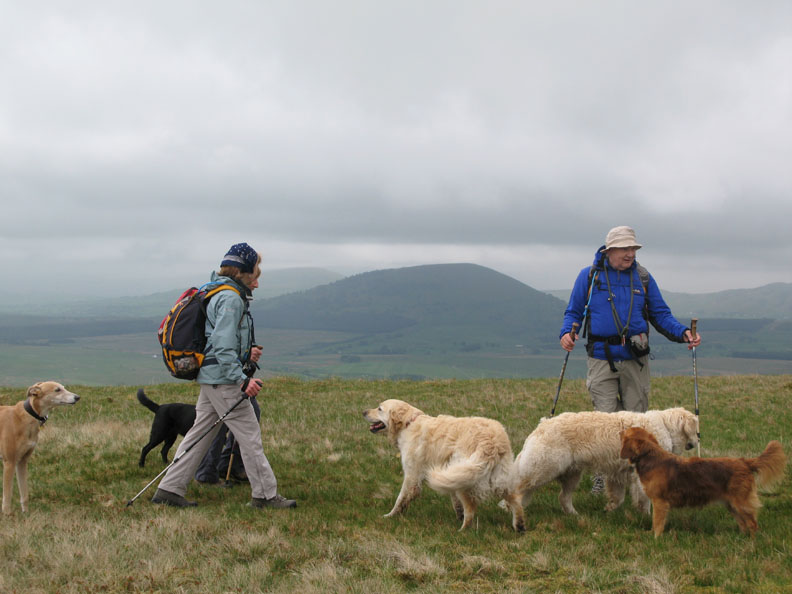
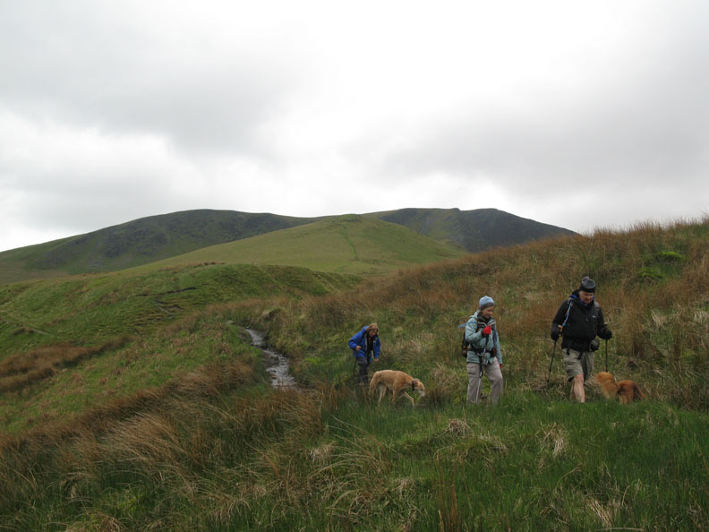
" Crufts on Tour "
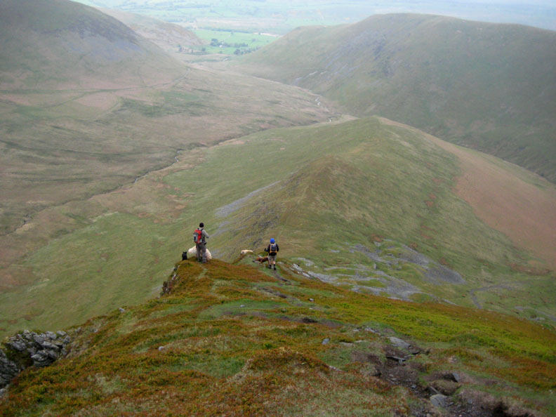
The diminutive summit cairn of Souther Fell hidden behind Harry. Our route today would take a broad sweep round to the left, climb up the valley behind Bannerdale opposite and then onto Bannerdale Crags (currently in mist). Our descent would be by the narrow Eastern Ridge seen to the right in the photo.
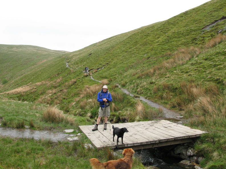
The Glenderamakin Valley at White Horse Bent. We're heading down to the small, white, wooden foot bridge below.
Two people approach from the other direction but otherwise there are few people on our route today.
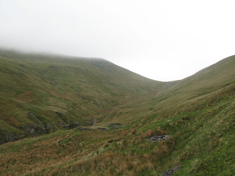
What the map notes as an old lead mine (disused) looks more like an old sheepfold to me, though there are traces of a possible addit on this side and spoil heaps on the other bank.
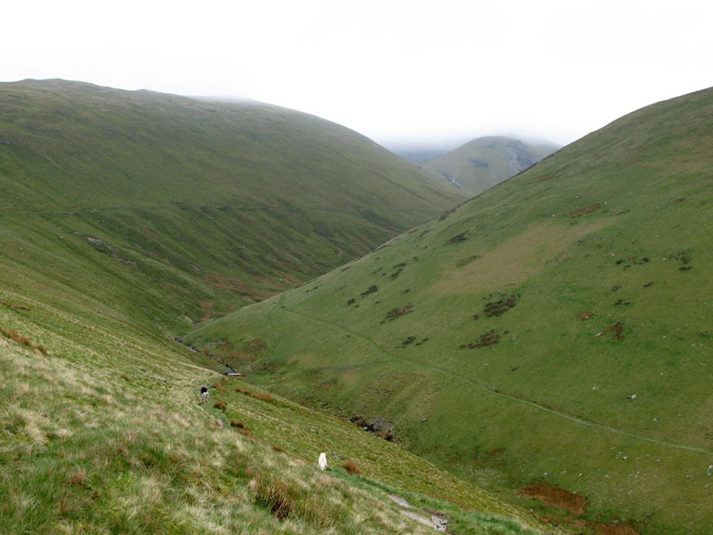
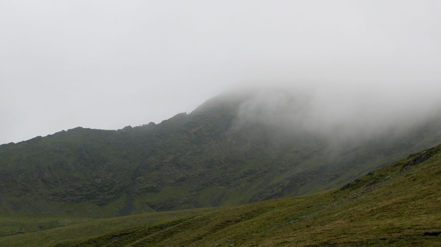
As we walk up the valley we see the people on the opposite side climb towards Scales Tarn and Sharp Edge. As far as we were concerned, they were disappearing into the mist but at one point the cloud rose slightly and their upward progress could be seen.
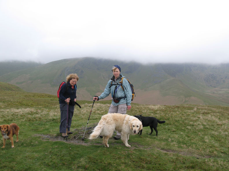
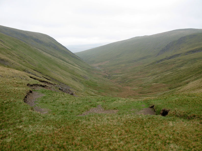
Lunchtime, and we sheltered from cool breeze just below the top of the valley.
Above the hause we had views over the back towards Skiddaw and Great Calva and round to High Pike and Bowscale.
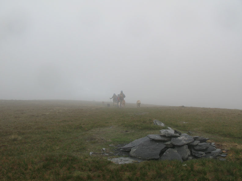
We walked up into the cloud as we reached Bannerdale Summit. Now to find the other cairn, over there somewhere, near the edge.
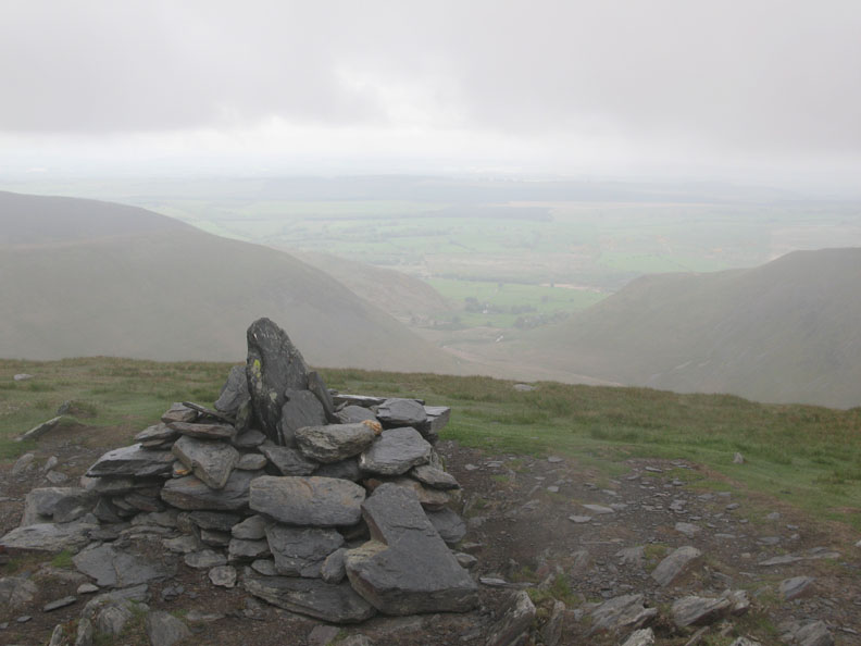
Views down again as we reach the edge of Bannerdale Crags.
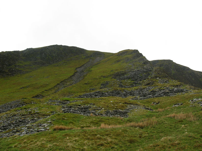
We've found the Crags, now to find the start of the path down the East Ridge.
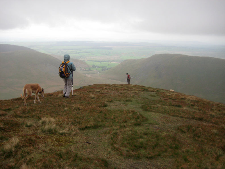
John leads the way back down towards the valley.
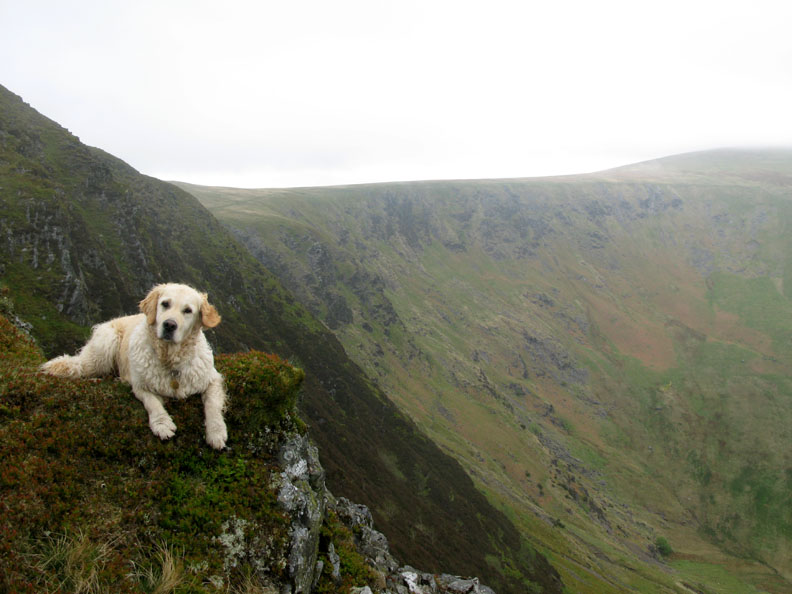
" Harry and the Crags " . . . sounds a bit like a sixties pop group !
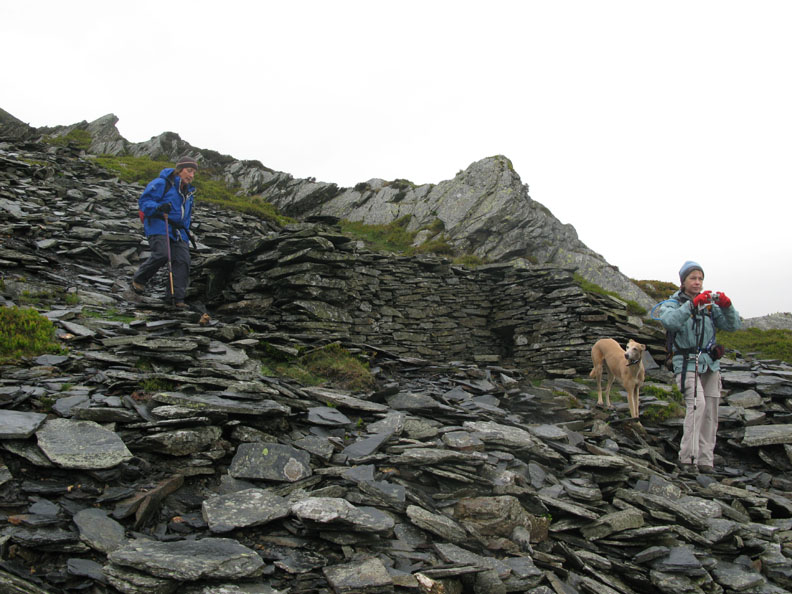
Again the map shows "mine workings (disused)". We presume they were slate workings this time.
Safely down, the path rather slippery due to the damp weather. There's a lot of old spoil heaps here but no obvious sight of quarries or tunnels.
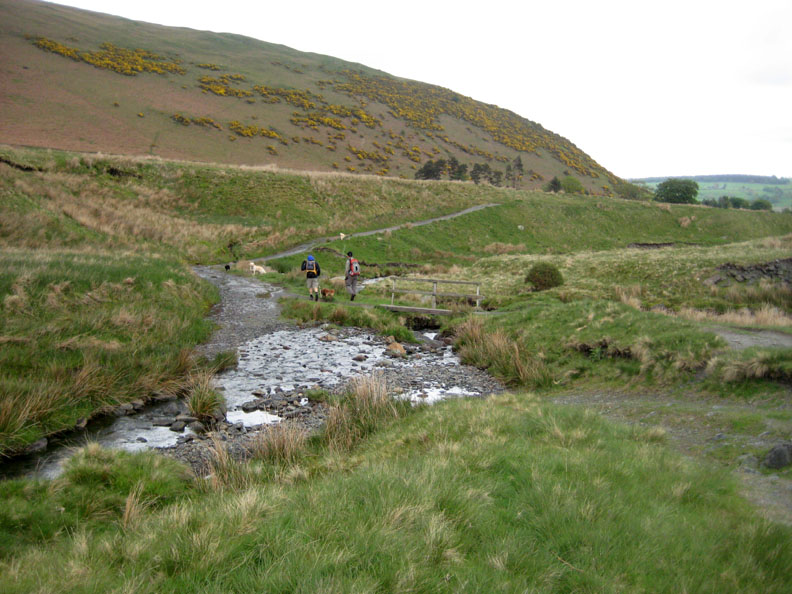
Back in the valley now, we're down on the muddy path alongside the river.
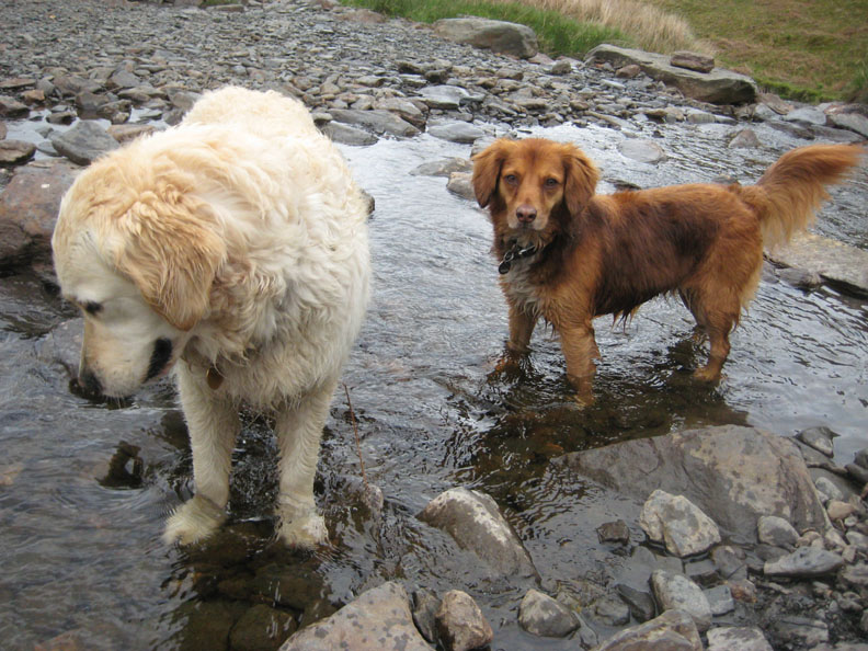
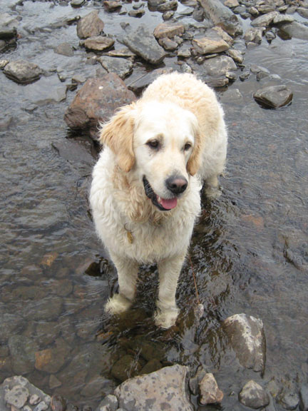
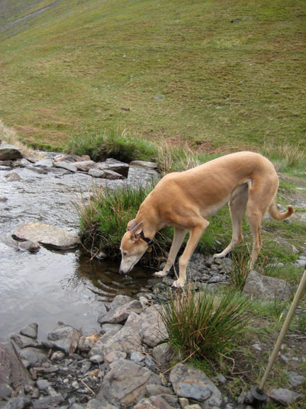
Harry and Polly paddle in Bullfell Beck as it crosses the path and joins the Glenderamakin.
The gorse on Raven Crags is in full bloom. We cross the last bridge before making for the village.
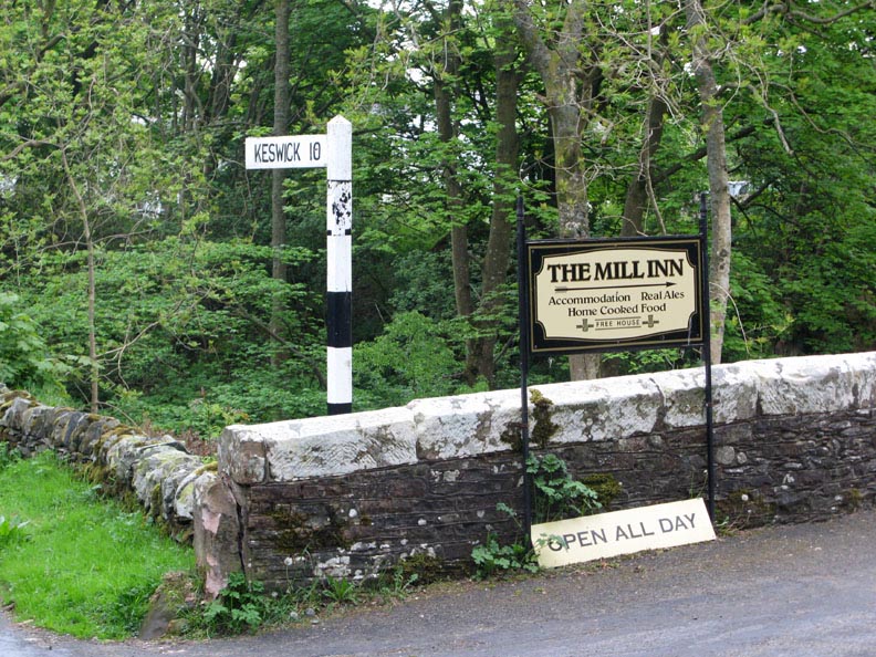
Ahh . . . the final signpost and a decision. Keswick and home . . . or The Mill Inn ? No contest !
|
- - - o o o - - - Technical note: Pictures taken with my Cannon G7 or Ann's Ixus 75 Digital cameras. Resized in Photoshop, and built up on a Dreamweaver web builder. This site best viewed with . . . simple decisions in life. © RmH.2007 # Email me direct # Add to my Guest book (front page) Previous walk - 13th May 2008 Ullock Pike with Helmut A previous time up here - 23th April 2006 Bowscale and Bannerdale in the sunshine.
|